|
|---|
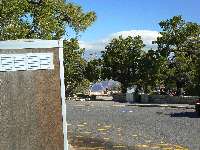
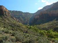
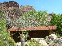
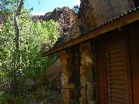
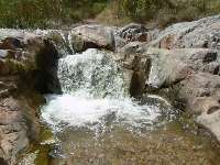
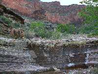
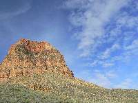
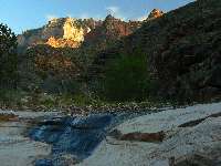
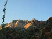
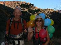
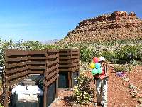
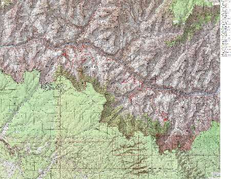
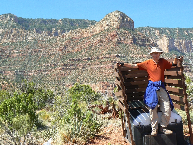
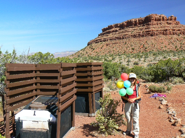
Day 1 Grandview Scenic Toilet
(Click the image for a full-size view)
|
|---|
|
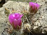
|---|
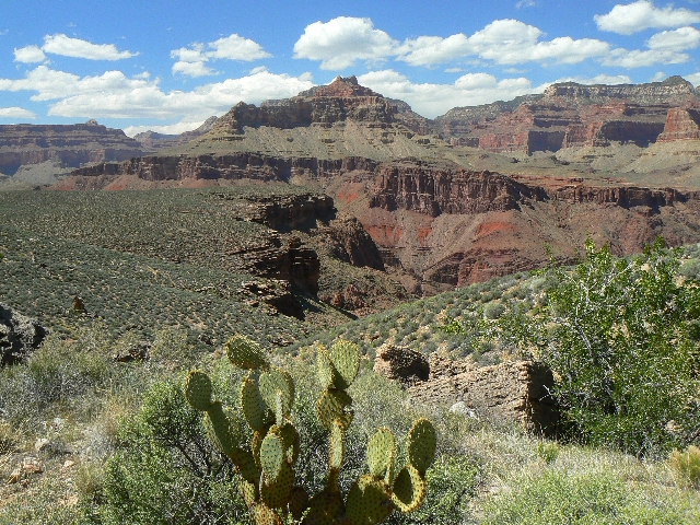
Cactus on Tonto
(Click the image for a full-size view)
|
|---|
|
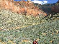
|
|---|
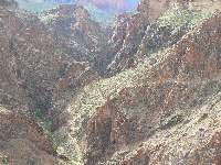
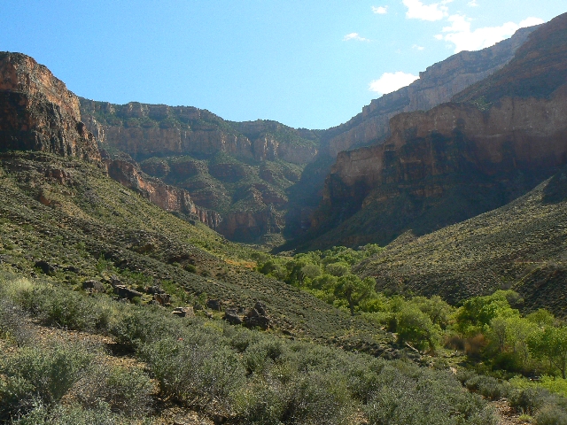
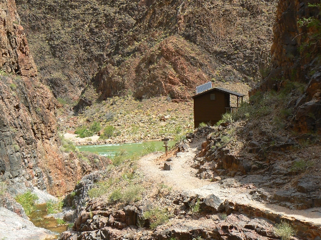
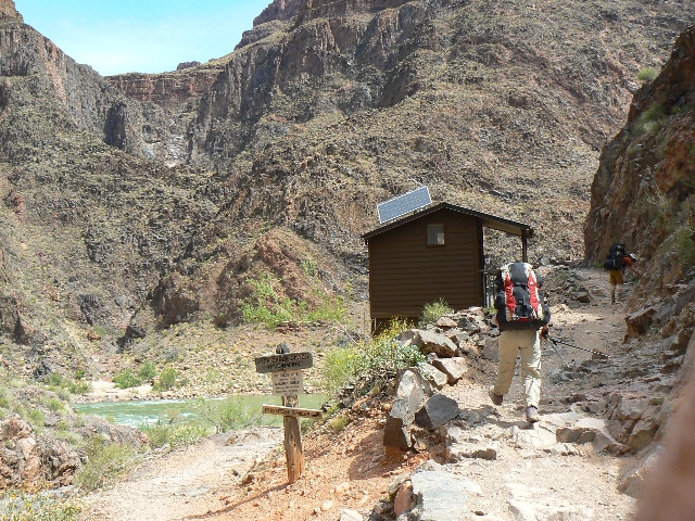
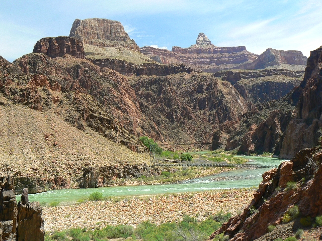
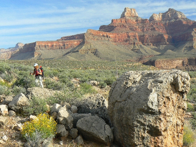
Between S. Kaibab and BA
(Click the image for a full-size view)
|
|---|
|

|
|---|
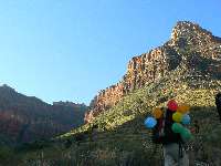
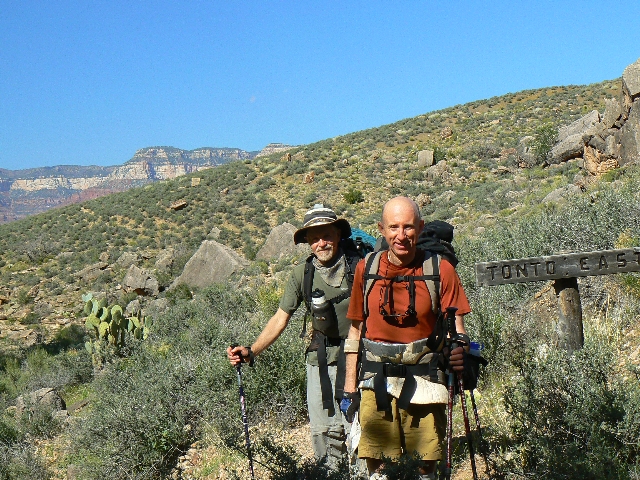
Zig and Craig - Tonto East
(Click the image for a full-size view)
|
|---|
|
|
|---|
Between S. Kaibab and BA
(Click the image for a full-size view)
|
|---|
|
|
|---|
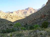
Tonto - arriving Indian Gardens
(Click the image for a full-size view)
|
|---|
|
(There are - More photos below the trip narrative.)
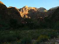
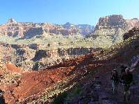
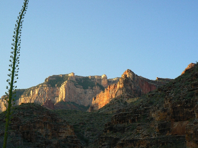
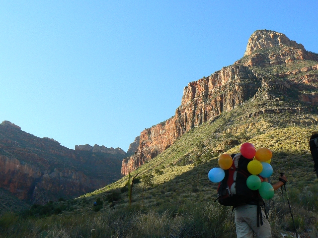
Day 1: Go West, ye Tonto: : South Kaibab TH to
Indian Gardens. 9.3 miles, descent of 4443’; ascent of 1526’. ERM = 20.
The hat sails like a Frisbee, accompanied by a shriek as
it zips far from its owner’s outstretched arms. Wind speed is exceeding 60 MPH in the
gaps of the Redwall Limestone. The country song goes something like “dust in your teeth,
all you want is dust in your teeth…..”
The relentless pounding of the South Kaibab descent
is building lactic acid. There are few mules (4 trains so far) and a dramatic drop in
hiker population after we leave Cedar Ridge – and this improves the day. Avoiding the
craze of Bright Angel was worth the extra miles – especially the extra scenic miles walking
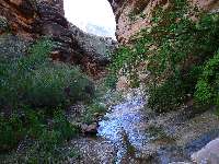
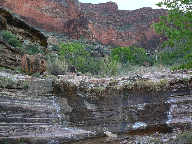
quietly along the Tonto between the S. Kaibab and the BA Trails. Along the way, we enjoy
a respite at Pipe Springs, a thin stream burbling across the trail and soon over an immense
pour-off.
Now in Indian Gardens, it’s cold: wool hat, long
johns, thick poly top and down coat and wind jacket. A wind-chill with the departing cold
front – moving on.
|
|---|
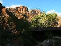
Day 2 - Bright Angel basement rocks
(Click the image for a full-size view)
|
|---|
|
|---|
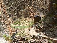
Pipe Cr. Scenic Toilet
(Click the image for a full-size view)
|
|---|
|
|
|---|
Pipe Cr. Scenic Toilet
(Click the image for a full-size view)
|
|---|
|
|
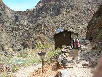
|---|
BA Scenic Toilet 1
(Click the image for a full-size view)
|
|---|
|
|---|
BA Scenic Toilet 1
(Click the image for a full-size view)
|
|---|
|
|
|---|
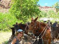
Day 2- Mule Talk
(Click the image for a full-size view)
|
|---|
|
|
|---|
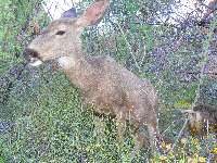
day 2 Deary Deer
(Click the image for a full-size view)
|
|---|
|
|---|
BA Scenic Toilet #2
(Click the image for a full-size view)
|
|---|
|

|
|---|
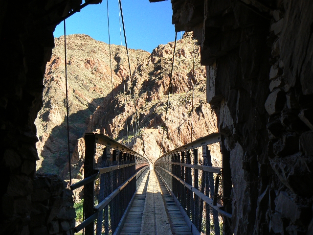
Tale of 2 Bridges
(Click the image for a full-size view)
|
|---|
|
|
|---|
Phantom Evening
(Click the image for a full-size view)
|
|---|
|
|---|
Gorging at Phantom - Craig and Zig
(Click the image for a full-size view)
|
|---|
|
|
|---|
Gorging at Phantom - Rob and Kathleen
(Click the image for a full-size view)
|
|---|
|
|
|---|
Movie: brief view of Pipe Creek Burble
Movie - click here, 1.3 MB
|
|---|
|
(There are - More photos below the trip narrative.)
Day 2: Down Elevator:
Indian Gardens to BA Camp. 5.2 miles (14.5 total trip miles); 1347 descent (5791’ total
so far); 299’ ascent (1825’ total to date); ERM = 8.
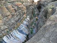
Clear water from Pipe Creek burbles and the Monkey Flowers
blush red on green against the ebony backdrop of Vishnu Schist of this CCC trail section of
the BA Trail. Nearly to The River, I see a new scenic toilet near the Pipe Creek Rest House.
Lovely. Scenic.
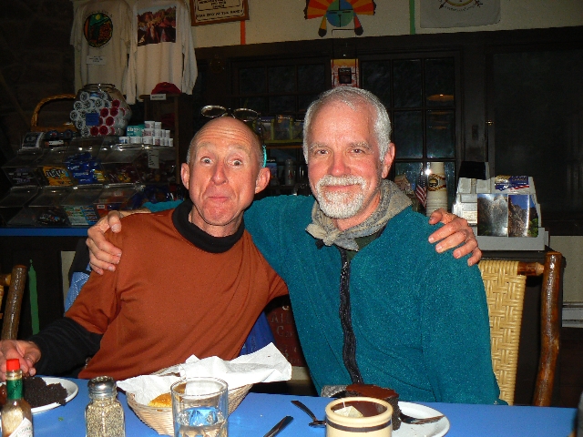
We lilt into BA camp and get established before Zig provides
a tour of the bunk house and cabins of fabled Phantom Ranch. Star sleeping is all I desire
today. The mule riders can have the indoor accommodations.
BA Creek rushes high and the low-angle sun glints from
basement rock as I tour the grave near the boat beach and prepare for dinner at Phantom
Ranch – historic stew it is. Cool and breezy, the wind is building once again.
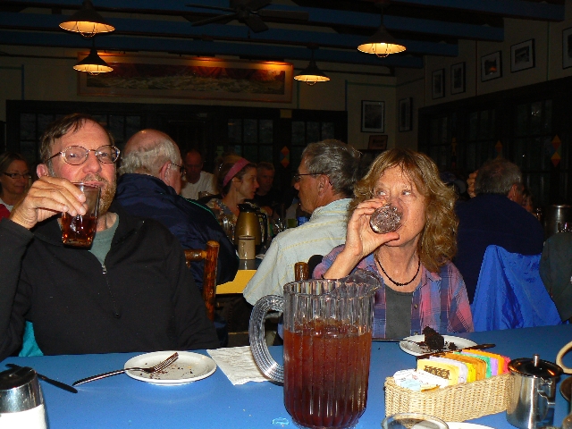
The sound of restless water accompanies Kathleen and I
to the California Condor presentation and from there to join Zig and Craig for beef stew,
veggie stew!, with salad, corn bread, and chocolate cake. Gluttony. Then, back to
camp #29 and a peaceful night.
|
|---|
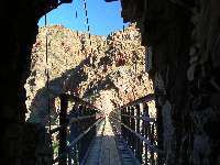
day 3 Black Bridge
(Click the image for a full-size view)
|
|---|
|
|---|
day 3 Black Bridge
(Click the image for a full-size view)
|
|---|
|
|
|---|
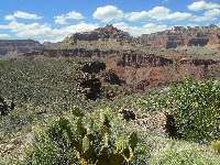
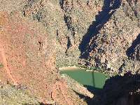
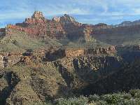
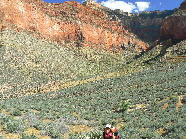
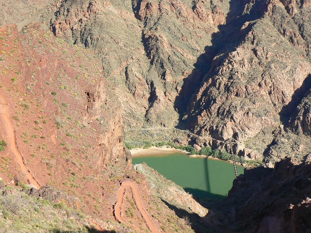
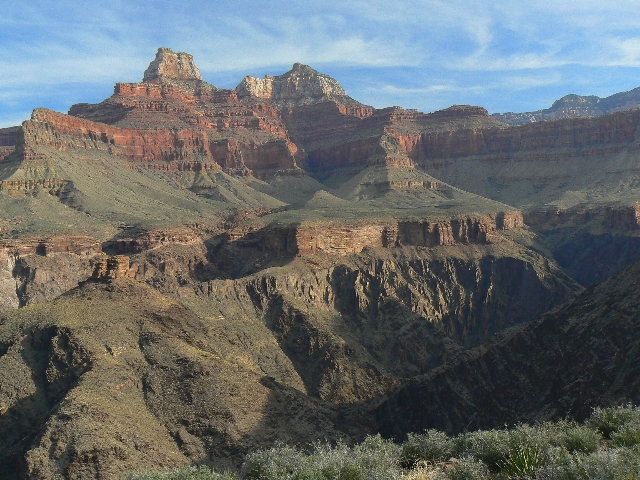
Day 3- looking down on The River
(Click the image for a full-size view)
|
|---|
|
|
|---|
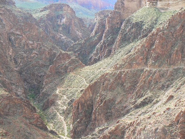
BA Shale of the S. Kaibab
(Click the image for a full-size view)
|
|---|
|
|---|
Footlose on the Tonto
(Click the image for a full-size view)
|
|---|
|
|
|---|
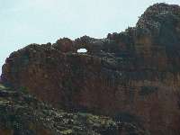
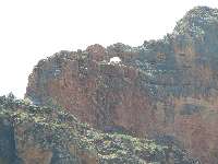
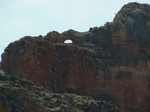
Pattie Arch
(Click the image for a full-size view)
|
|---|
|
|
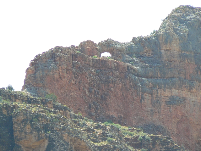
|---|
Pattie Arch
(Click the image for a full-size view)
|
|---|
|
|---|
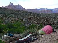
Lonetree
(Click the image for a full-size view)
|
|---|
|
|
|---|
Lonetree Camp
(Click the image for a full-size view)
|
|---|
|
|
|---|
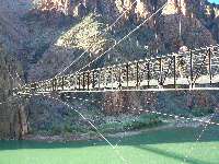
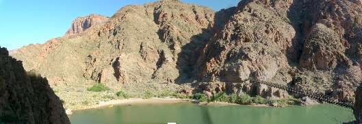
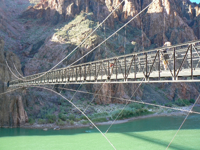
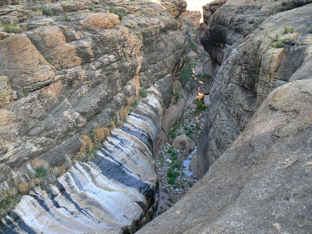
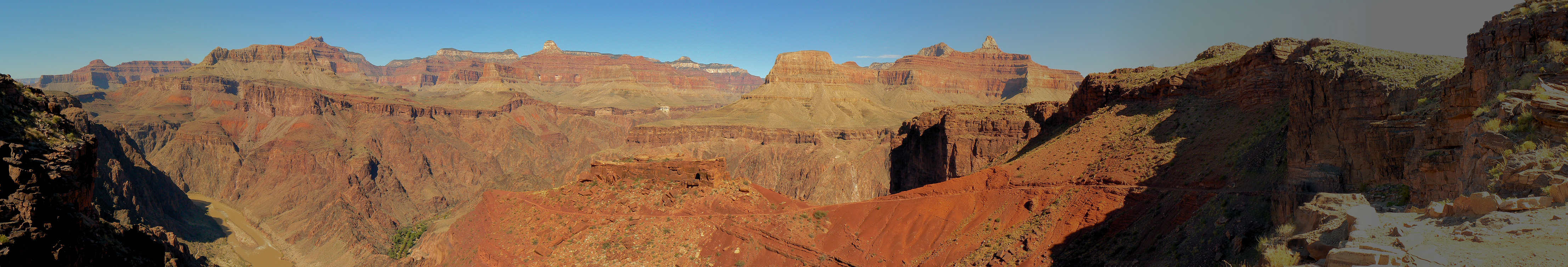
Black Bridge across The Colorado - Day 3
(Image is very wide - scroll to view all of it - Click
the image for the full-size image)
|
|---|
|
(There are - More photos below the trip narrative.)
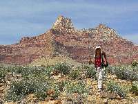
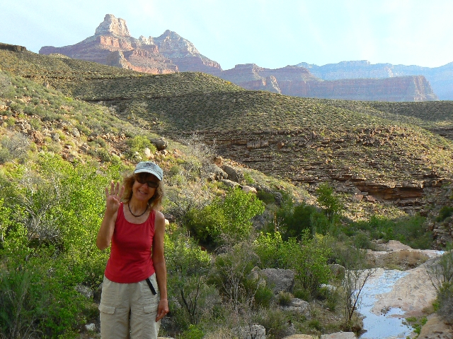
Day 3: Barren Breakout:, BA Camp to Lonetree.
8.4 miles (22.9 total trip miles); 1201’ descent (6993’ total so far); 2255’ ascent
(4080’ total to date); ERM = 15.4.
I pull off onto the rock ledge above The River and the
thin Black Bridge as a swirl of powdery poof dust engulfs two mule baggage trains bound
for BA. The upriver breeze keeps me just out of the swirl.
Plodding up the South Kaibab to the Tipoff, I feel muley
myself, yet we manage to keep dust free between two dude trains. Rock Squirrels assail
us at the
Tipoff Scenic Toilet
before we hike into the barren lands of Tonto
East, bound for the reputed water of Lonetree.
It’s a lurching down and up through the Westernmost arms
of Cremation. Dry and not so appealing at Cremation, we are pleased to continue along the
Tonto. This stretch of the Tonto is far better defined than that of
the Gems route.
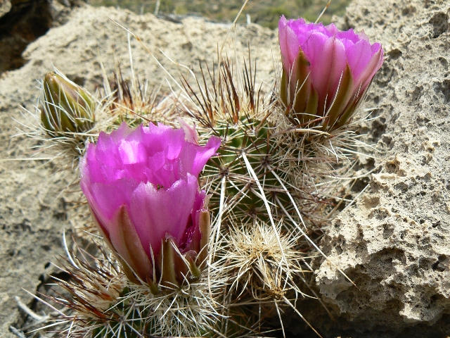
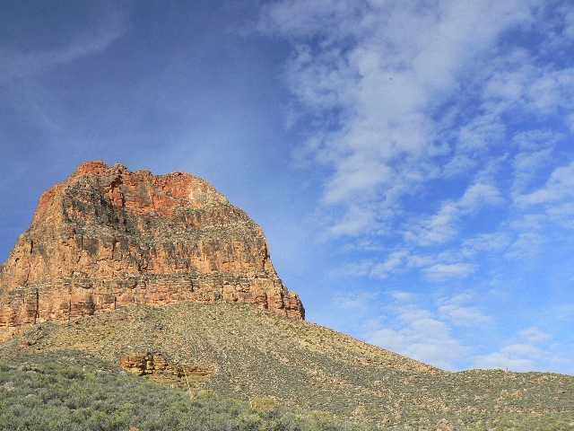
I spot a large arch high in the Redwall near Pattie
Butte – and see the arch is not marked on the topo. On through fields of cactus in
bloom, we round the corner and relish at the sight of water dribbling down Lonetree.
Yahoo.
We experience wind on and off all night. A warm evening,
stars galore, then clouds.
|
|---|
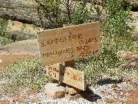
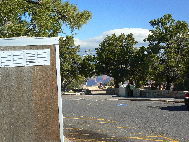
Sign for Day 4
(Click the image for a full-size view)
|
|---|
|
|---|
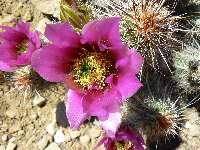
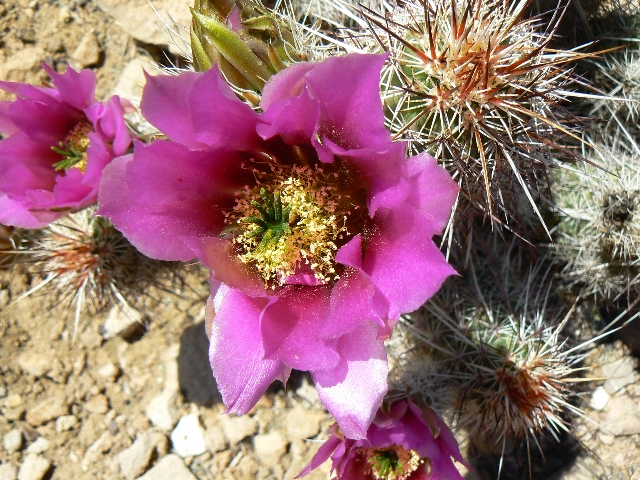
Cactus in Limestone
(Click the image for a full-size view)
|
|---|
|
|
|---|
Day 4- Clouds
(Click the image for a full-size view)
|
|---|
|

|
|---|
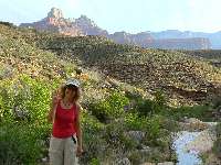
Day 4 Tonto Stroll
(Click the image for a full-size view)
|
|---|
|
|---|
Gazing Grapevine
(Click the image for a full-size view)
|
|---|
|
|
|---|
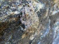
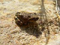
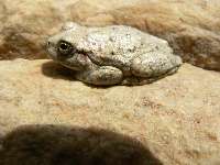
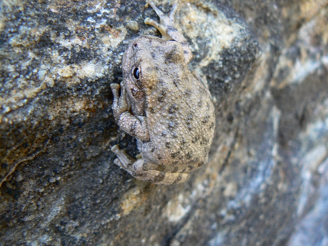
Grapevine Galleria Frog 1
(Click the image for a full-size view)
|
|---|
|
|
|---|
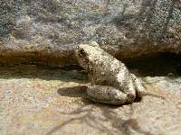
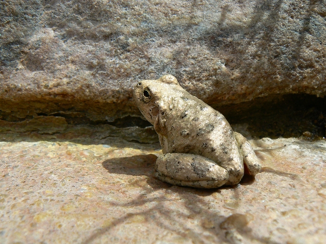
Grapevine Galleria Frog 2
(Click the image for a full-size view)
|
|---|
|
|---|
Grapevine Galleria Frog 3
(Click the image for a full-size view)
|
|---|
|
|
|---|
Evening at Grapevine Galleria
(Click the image for a full-size view)
|
|---|
|
(There are - More photos below the trip narrative.)
Day 4: Grapevine Cornucopia of Wind. Lonetree
to Grapevine. 9.5 miles (32.4 total trip miles); 1313’ descent (8206’ total so far); 1162’
ascent (5242’ total to date); ERM = 14.
The trail along Grapevine Canyon continues, on and on.
It’s a slog, a cornucopia of wind. Many delights grace the walk, cactus flowers, Brittlebush,
pregnant and ready to flower Agave. Clouds have filled and emptied the sky many times today
and mostly the photographic opportunities have been few.
Again we see out daily quota of two hikers, and again they
are traveling to the West.
Craig and I explore downstream in Grapevine, easily edging
around the chockstone, and continuing down Grapevine for 40 minutes – frogs of many varieties
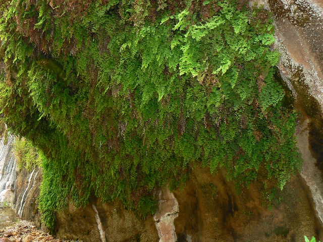
hop into the clear water and willows are developing there too. We pass a dripping spring
where cool water drips from a buff of maidenhair ferns. Delightful.
Now, near sunset, blasts of vicious wind assault us, tearing
free anything not anchored with large rocks and sailing it upcanyon, sometimes down. Even
the warbling frogs pause during these blasts.
|
|---|
Starting Day 5
(Click the image for a full-size view)
|
|---|
|
|---|
Grapevine Galleria
(Click the image for a full-size view)
|
|---|
|
|
|---|
Grapevine Galleria
(Click the image for a full-size view)
|
|---|
|
|
|---|
GV Hanging Spring
(Click the image for a full-size view)
|
|---|
|
|---|
GV Hummer
(Click the image for a full-size view)
|
|---|
|
|
|---|
GV Hummer
(Click the image for a full-size view)
|
|---|
|
|
|---|
Day 5 morning
(Click the image for a full-size view)
|
|---|
|
|---|
Tonto - Horseshoe Jct.
(Click the image for a full-size view)
|
|---|
|

|
|---|
Cottonwood Sumo Frogs
(Click the image for a full-size view)
|
|---|
|
(There are - More photos below the trip narrative.)
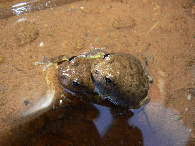
Day 5: Grapevine Galleria:
Grapevine to Cottonwood Camp. 6.0 + 1.2 exploring miles (39.2 total trip miles);
844’ descent (9050’ total so far); 808’ ascent (6050’ total to date); ERM = 11.
The sumo wrestling frogs bleat, croak, trill, and attempt
to throw each other out of the precious pond eroded deep into the Tapeats and sluicing
with the clear water of Cottonwood Creek. We’re lounging in the gallery, amazed at these
two puffed-up amphibians struggling for pond dominion.
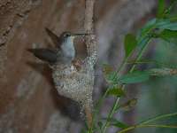
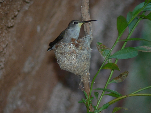
The day started at Grapevine with a short tour down canyon
in the Grapevine Galleria, down to dripping spring. Standing on a rock, a hummer zooms
in with willow fluff in its long bill and stuffs it into a tiny nest hanging under an
overhang – truly amazing. Then, we head toward Cottonwood, passing the dribbling East arm
of Grapevine along the way and some sheer drops reminiscent of the Beamer -
Bodacious Beamer
link.
Rounding the point just before (West of) the Cottonwood
drainage, we see a single cairn marking the route down to The River – apparently river access
with no beach or camping down there.
It’s lovely at Cottonwood – there are several good campsites
with shade provided by junipers and cottonwoods. And, there is water here. The good
camping below the junction is clogged with a large group. We camp above the junction.
Froggies chatter between.
Garrulous.
|
|---|
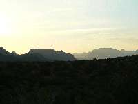
Day 6 - Sea of Buttes
(Click the image for a full-size view)
|
|---|
|
|---|
Day 6 Colorful Morning
(Click the image for a full-size view)
|
|---|
|
|
|---|
Up to Horseshoe Mesa
(Click the image for a full-size view)
|
|---|
|
|
|---|
Looking back from Mesa route
(Click the image for a full-size view)
|
|---|
|
|---|
Horseshoe Mesa Scenic grp Toilet
(Click the image for a full-size view)
|
|---|
|
|
|---|
Horseshoe Mesa Scenic Toilet
(Click the image for a full-size view)
|
|---|
|
|
|---|
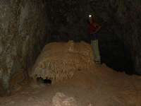
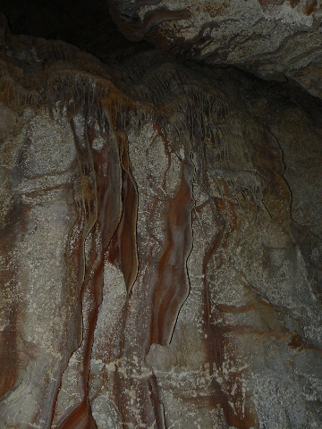
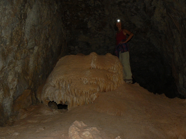
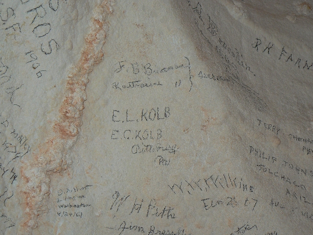
Cave of the Domes
(Click the image for a full-size view)
|
|---|
|
|---|
Cave of the Domes
(Click the image for a full-size view)
|
|---|
|
|
|---|
Cave of the Domes
(Click the image for a full-size view)
|
|---|
|
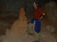
|
|---|
Cave of the Domes
(Click the image for a full-size view)
|
|---|
|
|---|
Cave of the Domes
(Click the image for a full-size view)
|
|---|
|
|
|---|
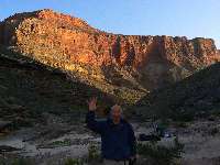
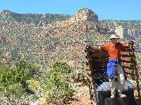
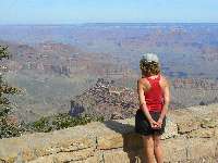
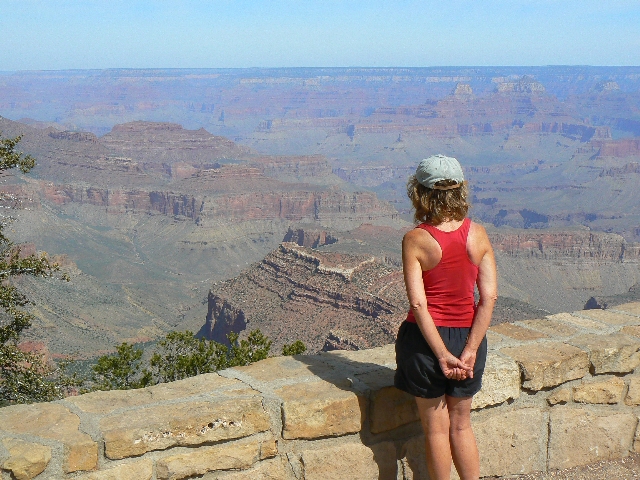
A Grand View
(Click the image for a full-size view)
|
|---|
|
|
|---|
Movie: Grapevine with froggy noises
Movie - click here, 16 MB
|
|---|
|
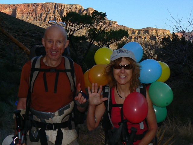
Day 6: Fanciful flowstone and colored orbs.
Cottonwood Camp to Horseshoe Mesa, Cave of the Domes, Miners/Page Spring.
1.9 miles pack (ERM = 4), + 4.2 exploring miles (ERM = 7.2), (45.3 total trip miles);
800’ descent (9872’ total so far); 2000’ ascent (8015’ total to date); ERM = 11.2.
The green orb floats into the tent, then a yellow globe,
an orange, red… It’s Kathleen’s birthday in The Canyon. Tied on her pack, the chromatic
display compliments the canyon hues as we hike the direct route from Cottonwood to Horseshoe
Mesa.
After exploring the mesa awhile, searching for more scenic
toilet photos -
link to scenic toilets,
we visit the Cave of the Domes, where flowstone is
fanciful and old and inscriptions by the Kolb brothers and others are young. The limestone
cave is surprisingly long and we explore for an hour.
More lounging is followed by hauling a few gallons of water
up to the Mesa from Page/Miner Spring. Steve helps greatly by lugging one of the water babies
up this steep trail, then continues on his day hike from the rim. Tired puppies, we toast
the birthday girl with amaretto, vegetable lasagna, and white mousse pudding before ogling
the wrap-around sunset and the sea of butte silhouettes and collapsing into a star-filled
sleep. Rejuvenating.
Day 7: It’s a Grandview!,
Horseshoe Mesa to Grandview Point and TH. 3.2 miles (48.5 total trip miles); 120’ descent
(9999’ trip total); 2221’ ascent (10,236’ trip total); ERM = 7.2.
Total trip ERM = @ 86.
The way is up and quiet as we enjoy the early morning
coolness, shaded by the East ridge. Quiet because we don’t see anyone until at the Coconino
Saddle, and then only two groups of hikers. Plodding on, we begin to encounter more people,
some smelling of bubble bath and artificial pheromones from or imitating long-dead animals.
Yes, we are nearly to Grandview Point.
As is often the case when encountering the stifling effects
of winnehogos, oversized families and vehicles and people, I wonder for which part of hell
we as a sub-species are headlong. Just add a lonesome locomotive or horse and some extra
dust in your teeth and you have a country western song. Either that, or the theme song for
the repulsican party.
This, of course, detracts from the aura of The Canyon, the
glory of Grapevine Galleria, so I settle back into this place and now and wish you all a
vicarious Grapevine Galleria!
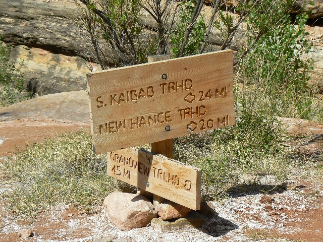
Links:

Maps:


|
|---|
Map - South Kaibab–Indian Gardens–Bright Angel–Lonetree–Grapevine–Cottonwood–Horseshoe Mesa–Grandview Point; 49 miles
(Click the image to see the map)
|
|---|
|
for a full-resolution map, click here. Caution - do not use this map or gps track for
navigating the route.
Movies:
Grapevine and froggy
noises. (1.3 MB)
brief view of
Pipe Creek Burble. (16 MB)
Panoramas:
Grand Canyon
Panorama - from The Tipoff, Day 3.
Black Bridge across The
Colorado - Day 3.
Horseshoe Mesa Panorama - Day
6 from the mesa looking East.
Sites:
Scenic Toilets of Inner Earth
Other WV reports about the Grand Canyon:
Click here or on the Looking Lizard to go to all WV reports about The Grand Canyon

|
|---|
Looking for All Wilderness Vagabond trip reports about the Grand Canyon?
Click the image to go to All WV reports about The Grand Canyon
|
|---|
|
| | | | | | | | | | | | | | | | | |


