
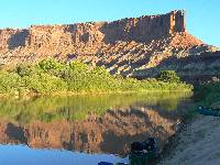
|
|---|
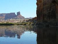
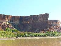
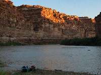
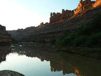
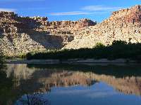
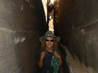
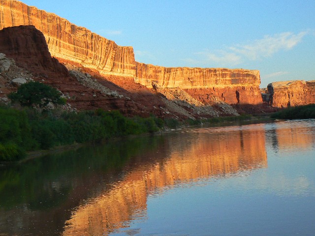
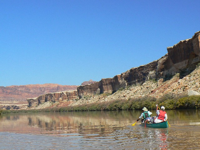
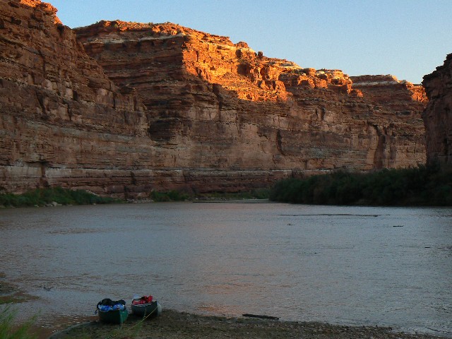
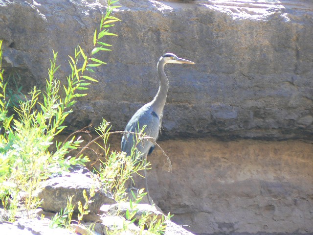
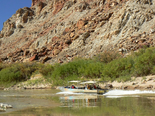
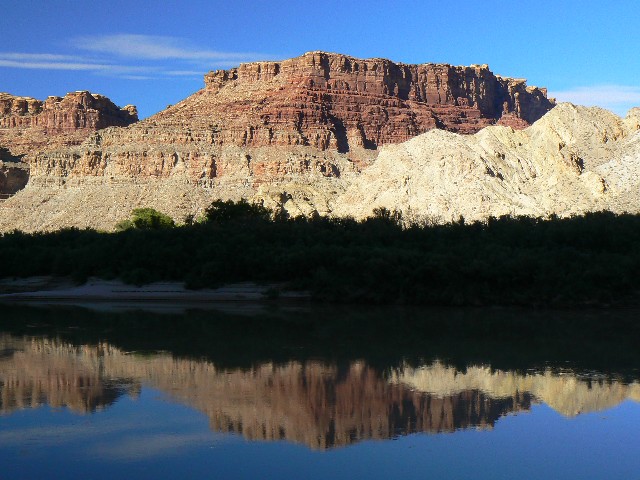
Reflections of Turks Head Camp
(Click the image for a full-size view)
|
|---|
|
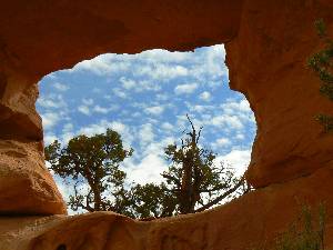
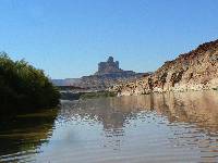
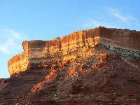
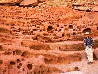
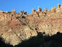
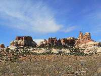
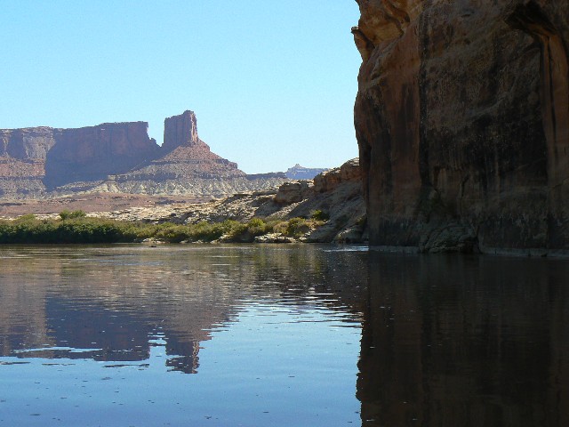
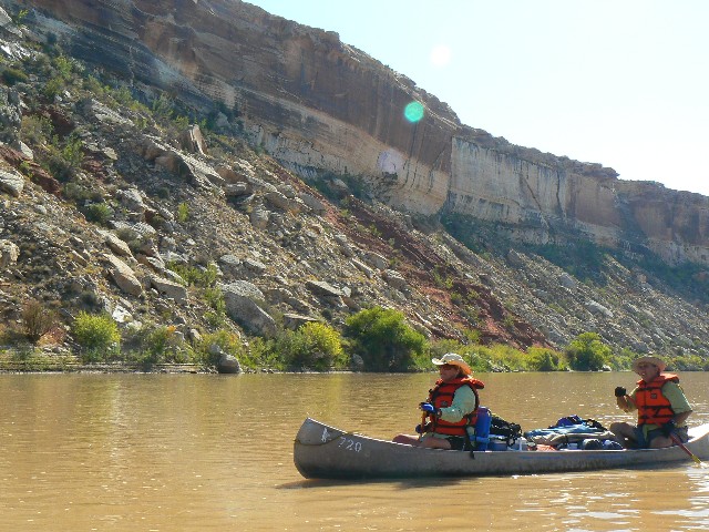
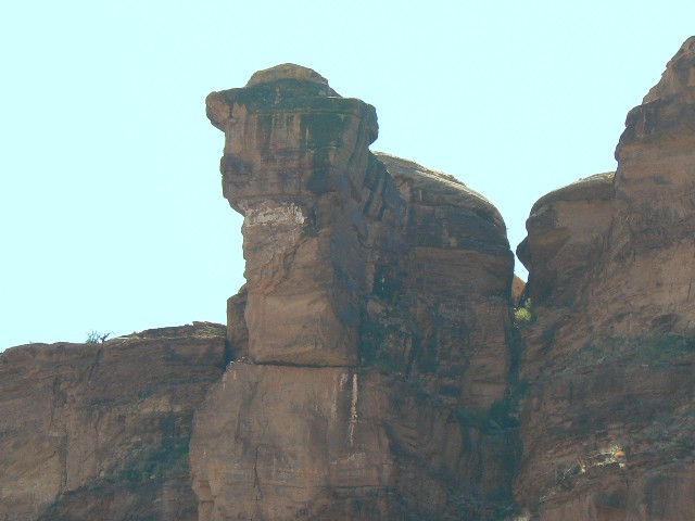
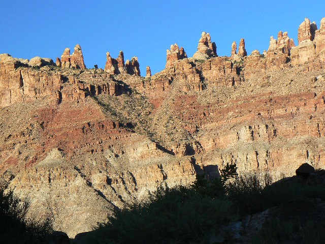
|---|
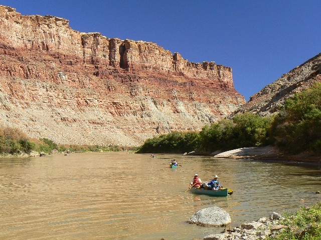
Beehive Arch View
(Click the image for a full-size view)
|
|---|
|
(There are - More photos below each day of the trip narrative.
Total photos = 58.)
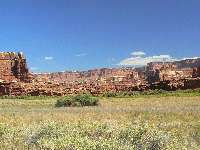
Summary:This is a report about a repeat adventure canoeing the Green River through Canyonlands National Park. Yes, it's not a repeat or redux exactly, more a similar journey through somewhat the same country. We started at Mineral Bottom and canoed the Green River to where it meets the Colorado and then down the Colorado for a few miles to Spanish Bottom, enjoying two long hikes and several short hikes along the way.
See the
2007 report.
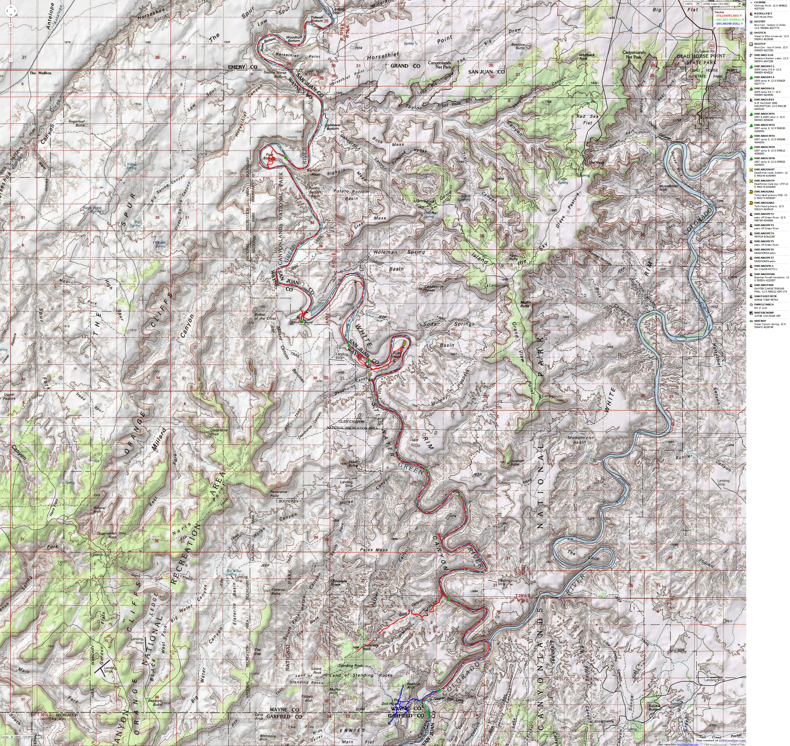
A revised map can be seen at the below link. Enjoy the report. The map can be viewed by clicking on:


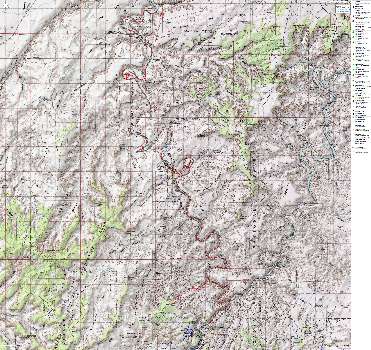
|
|---|
Map - Stillwater Canoe: Mineral Bottom to Spanish Bottom; 2009
(Click the image to see the map)
|
|---|
|
for a full-resolution map, click here. Caution - do not use this map or gps track for
navigating the route.
|
|
|
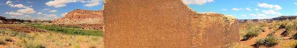
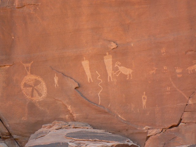
|---|
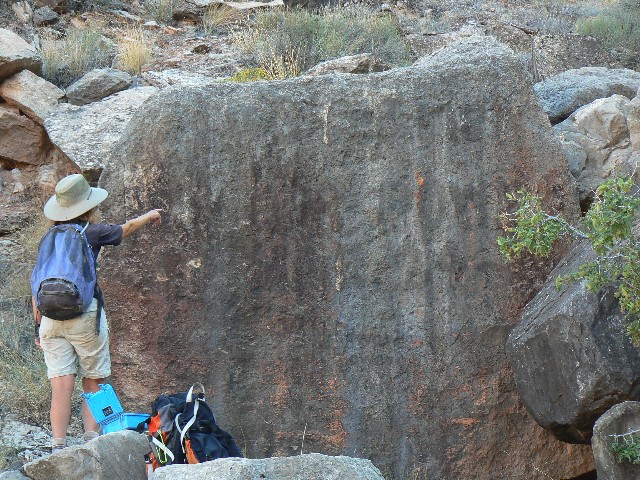
Peteroglyph Boulder along Stillwater Canyon, Green River
(429kb; full-size panorama is 2736 pixels wide.
(Click the image for the full-size panorama)
|
|---|
| |
|
|---|
day 1 camp - Bighorn Mesa
(Click the image for a full-size view)
|
|---|

|
|---|
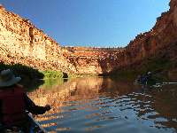
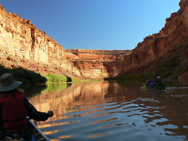
day 2 river time
(Click the image for a full-size view)
|
|---|
|
|
|---|
river time
(Click the image for a full-size view)
|
|---|
|
|
|---|
Buttes of the cross
(Click the image for a full-size view)
|
|---|
|
|
|---|
Anderson Bottom Panel
(Click the image for a full-size view)
|
|---|
|
|
|---|
Sphinx and friend
(Click the image for a full-size view)
|
|---|
|
|
|---|
Ra's Window
(Click the image for a full-size view)
|
|---|
|

|
|---|
Carol and Cheryl cut the line
(Click the image for a full-size view)
|
|---|
|
|
|---|
Linda and Don Carlos
(Click the image for a full-size view)
|
|---|
|
|
|---|
Camp view day 2
(Click the image for a full-size view)
|
|---|
|
|
|---|
Camp view day 2
(Click the image for a full-size view)
|
|---|
|

|
|---|
Camp view day 2
(Click the image for a full-size view)
|
|---|
|
(There are - More photos below each day of the trip narrative.
Total photos = 58.)
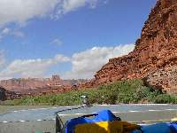
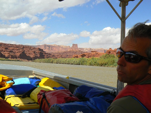
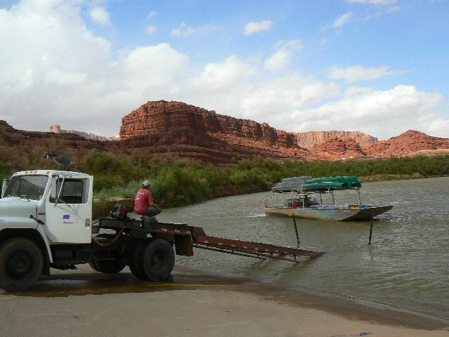
Day 1. Moab again (September 26). It's a long 330+ miles to the whirling cacophony of Moab. Kathleen and I are driving the Navajo Reservation for much of the way. We check in with Craig the River King after exploring for Tex's Riverways, our shuttle service for this adventure. Sorting through equipment, I realize my armored glasses case is empty - I will have to use the sun glasses from the car.
River Day 1:
River Mile, RM 53 to 41.5; Mineral Bottom to almost Fort Bottom. Smooth paddling ensues after the craziness of loading, shuttling, packing gear down the steep river banks at the put-in, and sorting and securing things at a downstream bar. The water seems much higher today than it did on the
first Stillwater adventure (link here).
That's how come this adventure is called "redux," because this adventure is a return adventure.
Redux - Brought back; returned. Used postpositively. Akin to revived, restored to consciousness or life or vigor.
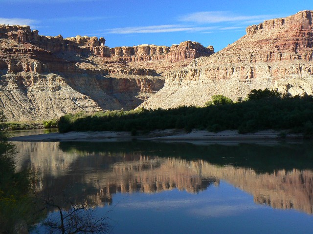
We camp at the same camp as in 2007, yet instead of an extended beach from island to bank, we are on a true island. Yes, the water level is higher than it was in 2007. We all camp in basic style, without tent fly or no tent at all, then experience very heavy dew for you.
The somewhat responsible participants are, by canoe, Craig (chief organizer) and Bret, Larry and Vicki, Linda and Don Carlos, Cheryl and Carol, Karen and Joe, and Kathleen and Rob.
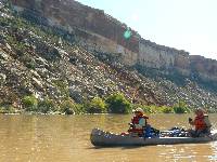
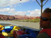
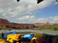
River Day 2:
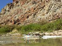
River Mile, RM 41.5 to @ 25.3; pause at Anderson Bottom. Today there is no bouncing off rocks in the sluice into Millard "rapid." Instead, it's a choppy ripple or rushing brown water, seemingly propelling us straight into the sandstone ahead in the hard left turn. Not to worry, proper positioning leads to a good outcome.
Earlier today, we skip a hike to Fort Bottom Ruin, partly because we can (and have) hike it from the White Rim Trail while bicycling this loop, and largely because we are saving our time for the hope of two decent hikes later in the trip.
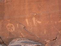
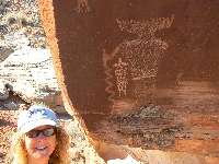
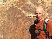
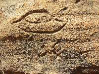
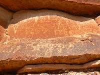
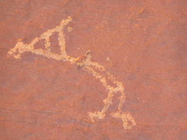
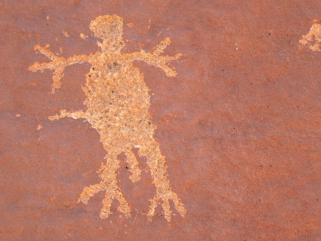
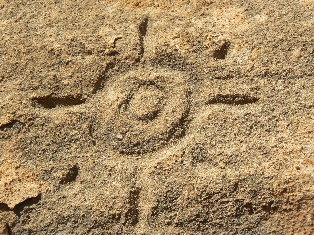
We pause at Anderson Bottom for water from the cistern and to explore the shield-man, bear prints, and other glyphs on The Frog Rock. Lovely, and followed by a delightful lunch under a riverside Cottonwood.
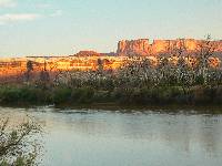
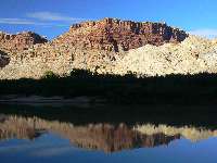
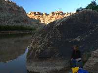
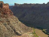
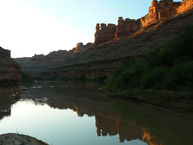
We camp upstream of Turks Head. It's a good camp, and a look down river makes us wonder if the camp from 2007 is submerged. It is.
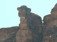
Ra's Window
AKA (Vreeland) V3-28
Stillwater Section of the Green River, Utah
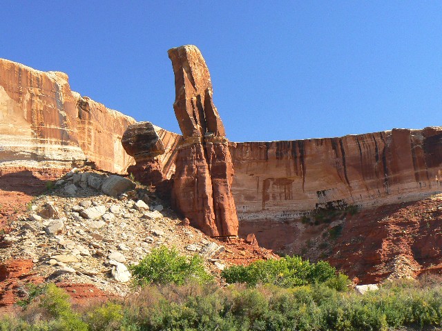
This bulky arch can be found on river left (left when going down stream), or East side, of the Green River, at approximately RM (river mile) 26.3 on the Stillwater section of the Green River in Utah. This is the distance above the confluence of the Green and the Colorado Rivers.
The WAD lists the UTM Coordinates as approximately: 12 589455 E; 4246943 N; (NAD 83/WGS84 datum). This arch can also be viewed from the White Rim Trail access.
|
|---|
day 3 K and petro
(Click the image for a full-size view)
|
|---|
|
|---|
Exploring Turks Head
(Click the image for a full-size view)
|
|---|
|
|
|---|
Exploring Turks Head
(Click the image for a full-size view)
|
|---|
|
|
|---|
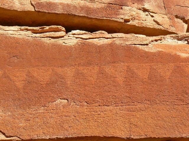
Craig and petro boulder
(Click the image for a full-size view)
|
|---|
|

|
|---|
Turks Head
(Click the image for a full-size view)
|
|---|
|
|
|---|
Exploring Turks Head
(Click the image for a full-size view)
|
|---|
|
|
|---|
Exploring Turks Head
(Click the image for a full-size view)
|
|---|
|
|
|---|
looking across to Soda Springs Can.
(Click the image for a full-size view)
|
|---|
|
|
|---|
Exploring Turks Head
(Click the image for a full-size view)
|
|---|
|
|
|---|
Exploring Turks Head
(Click the image for a full-size view)
|
|---|
|
|
|---|
Dead Horse Can. petro
(Click the image for a full-size view)
|
|---|
|
|
|---|
Dead Horse Can. petro
(Click the image for a full-size view)
|
|---|
|

|
|---|
Exploring Turks Head
(Click the image for a full-size view)
|
|---|
|
|
|---|
Dead Horse Can. petro
(Click the image for a full-size view)
|
|---|
|
|
|---|
Dead Horse Can. petro
(Click the image for a full-size view)
|
|---|
|
(There are - More photos below each day of the trip narrative.
Total photos = 58.)
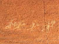
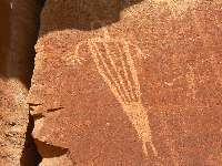
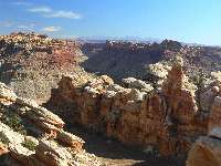
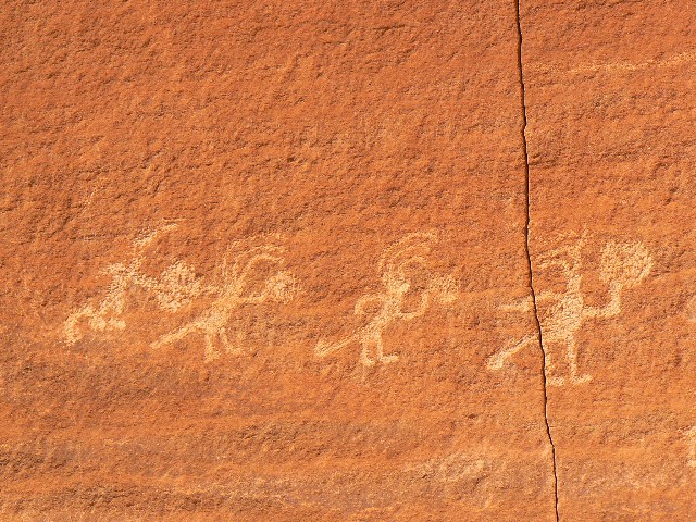
River Day 3:
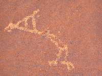
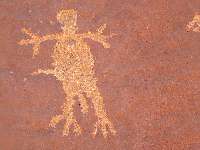
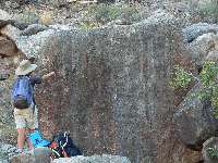
River Day 3. Exploration of Turks Head. 9 miles of hiking. It's windy yet warm as we hike overland to explore the petro boulders, granaries, and old inscriptions scattered around Turks Head. I explore, and find a route into Dead Horse Canyon, locating a new, yet vague, picto banner along the way.
It's a lovely day to be hiking rather than on the windy river.
|
|---|
day 4 Camp
(Click the image for a full-size view)
|
|---|
|
|---|
day 5 rolling brightly
(Click the image for a full-size view)
|
|---|
|
|
|---|
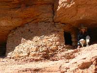
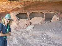
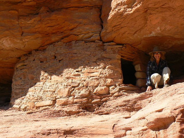
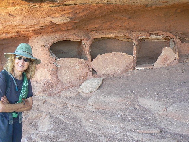
Jarper Canyon Granary
(Click the image for a full-size view)
|
|---|
|
|
|---|
Jasper Canyon Grillwork
(Click the image for a full-size view)
|
|---|
|
|
|---|
Herron
(Click the image for a full-size view)
|
|---|
|
|
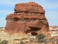
|---|
Cow Face Rock
(Click the image for a full-size view)
|
|---|
|
(There are - More photos below each day of the trip narrative.
Total photos = 58.)
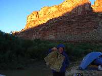
River Day 4:
Whitecaps - upstream! To RM 15.2. The wind is up before us and we ride it around the Turks Head bend, over the campsite from 2007 - then right into whitecaps rolling vigorously upstream. Flipping conditions. We stop at Dead Horse for a respite from the howl and to explore briefly upcanyon for petros. Lunch, wait for a respite from the wind. Back on the river, we are skirting along the canyon edge to avoid some of the gusto as we strive to find a good camp. Bret and Craig surge ahead, finding a decent camp near RM 15.2. Kathleen and I hike up the draw and locate a fine camp on a low bench, believing that we will be just out of the cold air slump in this almost-an-alcove.
River Day 5:
Frozen Water at Water Canyon. yikes. Water-oooh. RM 12 to 4, mouth of Water Canyon.
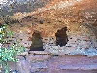
First, a redux from 2007 -- The Jasper Canyon overhang soars as we admire the pock-marked surface of short Jasper Canyon, just a quarter of a mile or so up from the river. Well, Jasper is short from the river, yet long from above. Jasper is one of the few canyons anywhere in the SW to be spared the disastrous and habitat-altering visitation of bovines and sheep. Now closed to hiking because of how poorly funded the park service and other public agencies are in this era of the non-conservative no-sayers calling themselves conservative, where the only conservation includes: conservation of tax cuts for the rich, conservation of extreme spending on war and prisons, conservation of your great-great grandchildren's obligation to pay for the obscene illegal war spending, conservation of exporting jobs, conservation of money for the rich and conservation of strangulation of funding for public lands, health care, education, and infrastructure..... one of the results being that there is insufficient funding for archeological surveys and resource protection. We visit ruin M85, near the mouth of Jasper before continuing down this delightfully calm section of the river, and, praise the River Spirits, little wind.
Following lunch at Jasper Canyon, we continued to the sticky mud of the mouth of Water Canyon. Delightful views envelop us as we lilt this section.
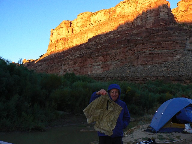
We have only time for a quick exploration up Water Canyon, toward the wondrous Maze District. As we return to camp, we are followed by cold air slumping toward the river, and the wool socks come out, followed by wool hats, etc. Craig's shorts freeze to a plank-like solid during the night.
|
|---|
day 6 Frozen Shorts at water Canyon
(Click the image for a full-size view)
|
|---|
|
|---|
Off to the confluence
(Click the image for a full-size view)
|
|---|
|
|
|---|
Tex on the Colorado
(Click the image for a full-size view)
|
|---|
|
|
|---|
Group arrives
(Click the image for a full-size view)
|
|---|
|
|
|---|
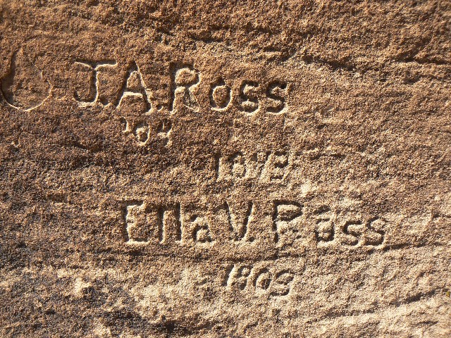
Steamer Major Powell Inscription
(Click the image for a full-size view)
|
|---|
|
|
|---|
Looking at Red Canyon
(Click the image for a full-size view)
|
|---|
|
|
|---|
Looking at Red Canyon
(Click the image for a full-size view)
|
|---|
|
|
|---|
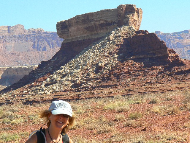
Doll House from Spanish Bottom
(Click the image for a full-size view)
|
|---|
|
|
|---|
Day 7 - Scenic Toilet at Spanish Bottom
(Click the image for a full-size view)
|
|---|
|
|
|---|
Spanish Bottom from Doll House Trail
(Click the image for a full-size view)
|
|---|
|

|
|---|
Doll House
(Click the image for a full-size view)
|
|---|
|
|
|---|
Surprise Valley
(Click the image for a full-size view)
|
|---|
|
|
|---|
K and granaries
(Click the image for a full-size view)
|
|---|
|
|
|---|
Surprise Valley
(Click the image for a full-size view)
|
|---|
|
|
|---|
Slot on loop hike
(Click the image for a full-size view)
|
|---|
|
|
|---|
Doll House
(Click the image for a full-size view)
|
|---|
|
|
|---|
The Bear petro
(Click the image for a full-size view)
|
|---|
|

|
|---|
Doll House area petro
(Click the image for a full-size view)
|
|---|
|
|
|---|
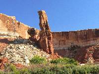
Beehive Arch
(Click the image for a full-size view)
|
|---|
|

|
|---|
Beehive Arch
(Click the image for a full-size view)
|
|---|
|
|
|---|
Day 8 - up the Colorado
(Click the image for a full-size view)
|
|---|
|
|
|---|
Bret enjoys the breeze
(Click the image for a full-size view)
|
|---|
|
|
|---|
Day 8 - up the Colorado
(Click the image for a full-size view)
|
|---|
|
|
|---|
Potash take-out
(Click the image for a full-size view)
|
|---|
|
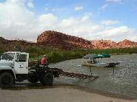
River Day 6:
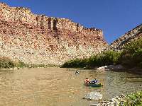
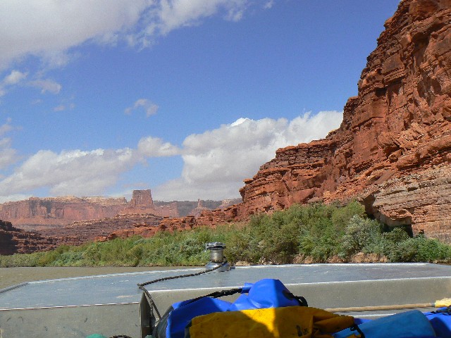
The Steamer Major Powell. RM 4.4 to RM 213.4; Spanish Bottom camp. Kathleen and I shove off the slippery grippery mud bank of Water Canyon and head for the Confluence. It's a dazzling clear morning of calm water, and we feel the tug of under surface currents as we draw close to the Confluence. A powerful eddy swirls us around as the river makes a hard right before the Confluence.
The large sand point at the Confluence is gone, replaced by a trio of sand islands. We ferry across to the East bank and drift until we see the Danger! (you're going to die!) Sign. This is where one registers for campsites, which Joe has already done. We find out later that many miss this sign-in sign, believing it to be only a warning of the upcoming Cataract Canyon rapids.
Soon, the remainder of the group arrives and we head down to the camp, encountering Tex's as they pick-up boats and riders for the shuttle back to Moab. But not us, not today.
After throwing camp in place, many set out to explore the area. Kathleen, Craig, Joe and I set out to view the corner camp, the foot of the trail to the Doll House, and see if we can find the Steamer Major Powell inscription.
The inscription is fading fast - apparently painted on a rock (see map for location) so that it can be read from the river - or, once could be read. The foot of the trail is near the corner camp, which is set above some huge bank steps. So different than in 2007, which one would not expect because the water is higher. The effects of big water last year, apparently.
River Day 7:
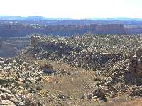
Doll of a hike to the Doll House, THE Maze. Hike 9+ miles.
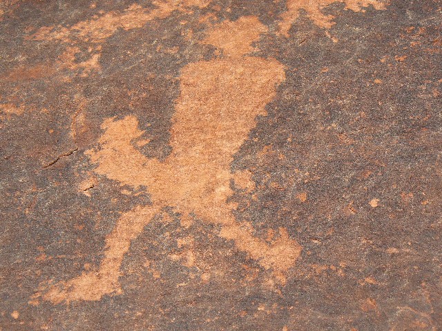
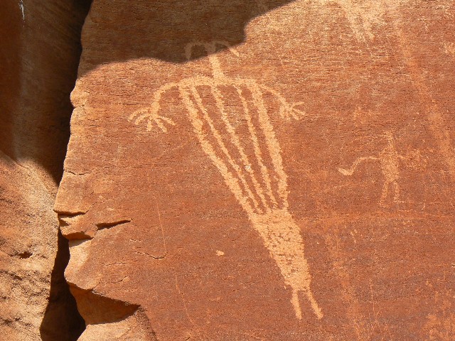
Puffing up the steep sinuous incline, we are nearing the tip-off to the Doll House of THE Maze District of Canyonlands NP. Wondrous. The spires tower above as we wander to the granaries designated by the Park Service. Along the way, we see into Surprise Valley. Truly amazing, and looking like a graben. Then, to Beehive Arch before returning to camp for a deluxe shower in the luxurious sunshine.
From the NPS site for Canyonlands: The grabens in Canyonlands National Park are a system of linear collapsed valleys caused by the movement of underlying salt layers toward the Colorado River canyon. The grabens begin near the Confluence of the Green and Colorado rivers and run roughly parallel to Cataract Canyon for 25 km, veering slightly west before they end. Graben is a German word meaning ditch or grave. In the geologic sense it is a collapsed or down-dropped block of rock that is bordered on its long sides by faults.
River Day 8:
Out to Recapture. The horrendous tailwind blows us up the Colorado. Flying low in a jet boat (a song by Janis Joplin?). Things happen quickly at the takeout and again when we unload the boat at Tex's. After eating deli items gleaned from the Moab City Market, we are on the road, and at the fabled Recapture Lodge in Bluff just after sunset. A place replete with maps, info on terrific organizations like SUWA, and books by supporters of wildness. A basically good place to stay and reminisce about the Stillwater Redux.
Links:
USGS river level gauge for the Green River at the town of Green River, UT
|
|
|---|
Map - Stillwater Canoe: Mineral Bottom to Spanish Bottom; 2009
(Click the image to see the map)
|
|---|
|
for a full-resolution map, click here. Caution - do not use this map or gps track for
navigating the route.
Previous WV trip report about canoeing the Green River:
Stillwater Solstice (2007).
LABYRINTH CANYON: Canoeing the Green River (1993)
Related reports include:
A-Mazing Maze, a Desert Solitaire; Exploring The Fins Area of Canyonlands NP (2009)
Middle Fork Salmon Century Floatboating (2007)
Disraeli Gears Under Island In The Sky Or Rock-in At Murphy Hogback (1999)
Disraeli Gears Under Island In The Sky, Part 2 (2000)
Scenic Toilets of Inner Earth
| | | | | |


