|
|---|
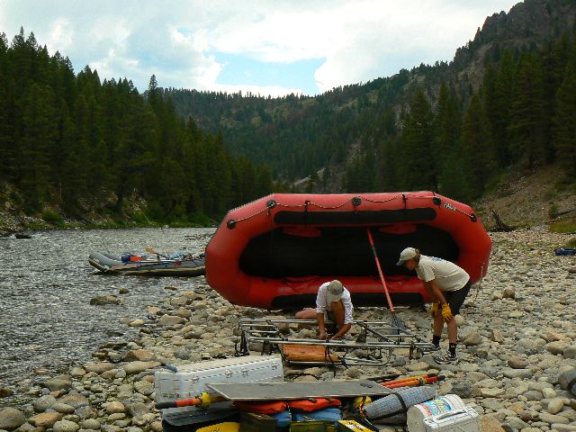
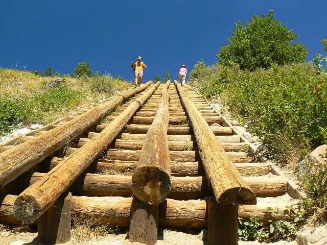
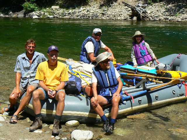
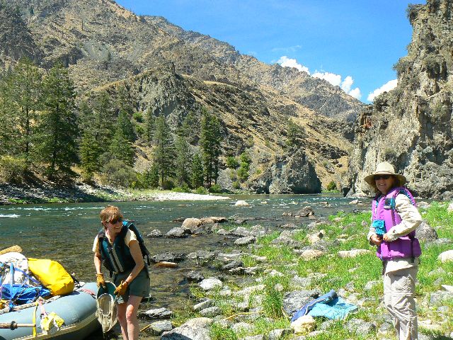
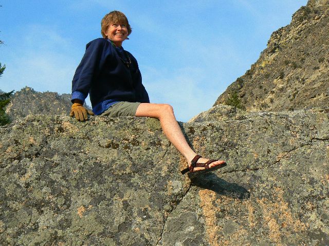
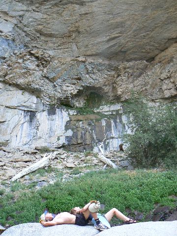
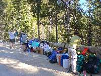
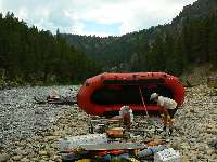
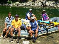
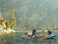
day 1 getting ready
(Click the image for a full-size view)
|
|---|
|
|---|
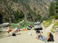
day 1 all that stuff
(Click the image for a full-size view)
|
|---|
|
|
|---|
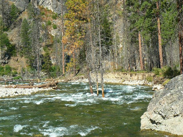
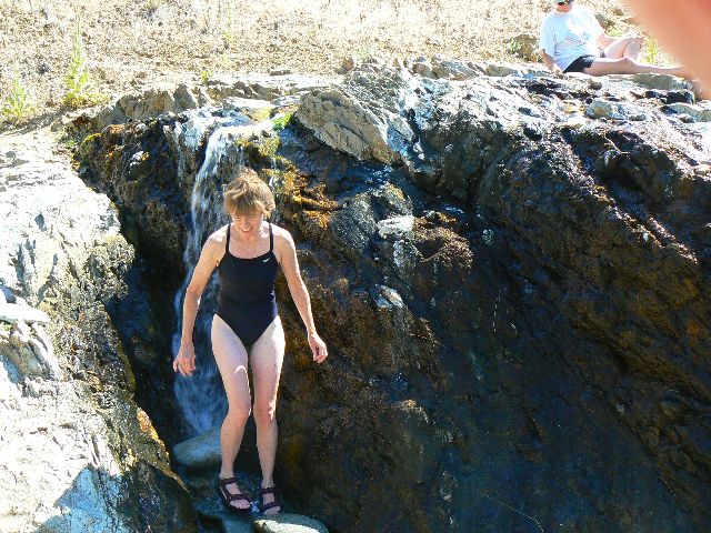
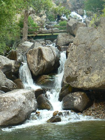
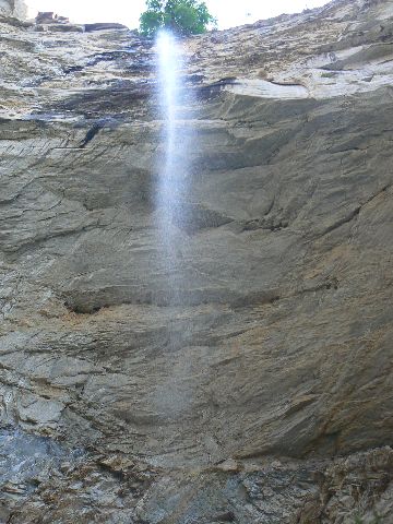
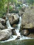
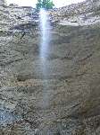
day 1 velvet falls
(Click the image for a full-size view)
|
|---|
|
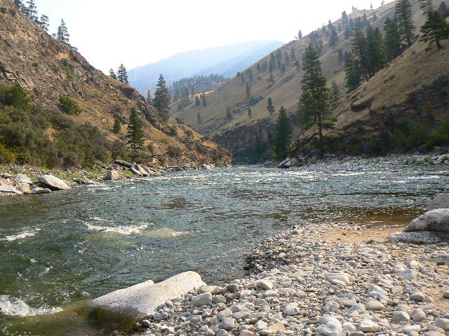
|
|---|
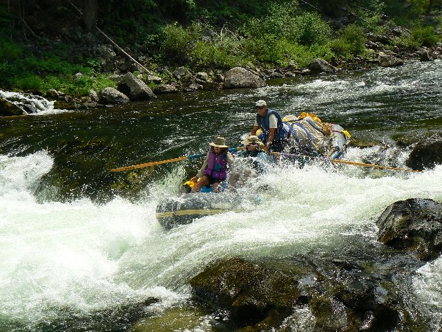
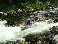
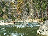
day 1 3 holes at Trail Flat
(Click the image for a full-size view)
|
|---|
|
|
|---|
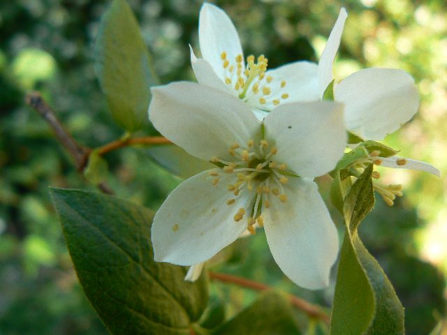
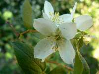
Syringa - Idaho State Flower
(Click the image for a full-size view)
|
|---|
|
|
|---|
day3 picket fence
(Click the image for a full-size view)
|
|---|
|
(There are - More photos below each day of the trip narrative.
Total photos = 63.)
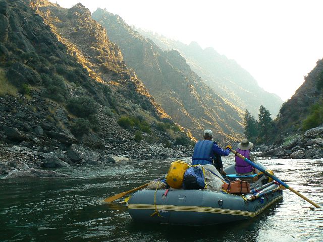
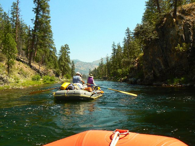
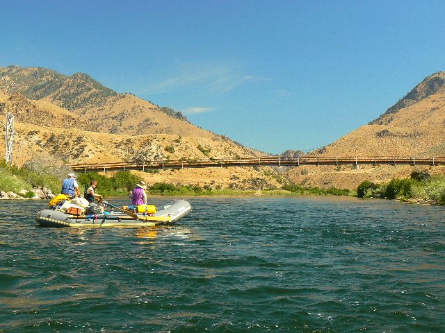
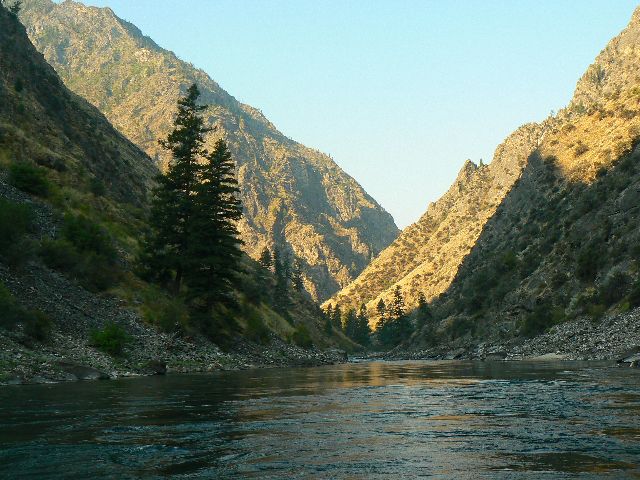
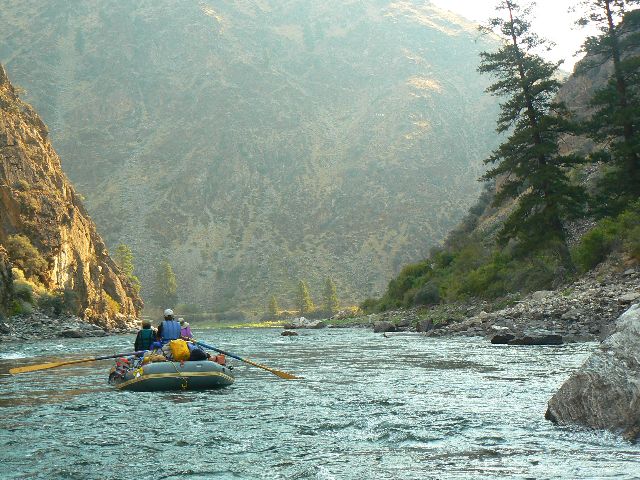
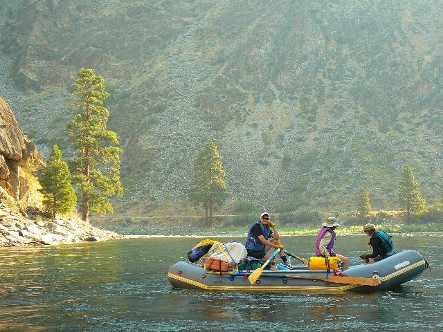
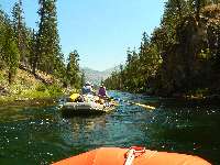
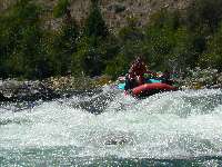
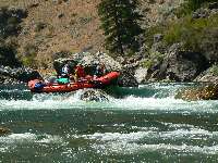
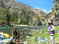
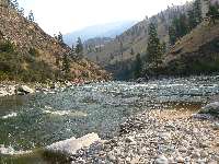
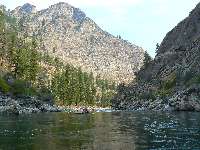
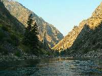
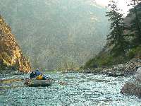
River Day 1: Pin-balling the MF Salmon! (River Mile,
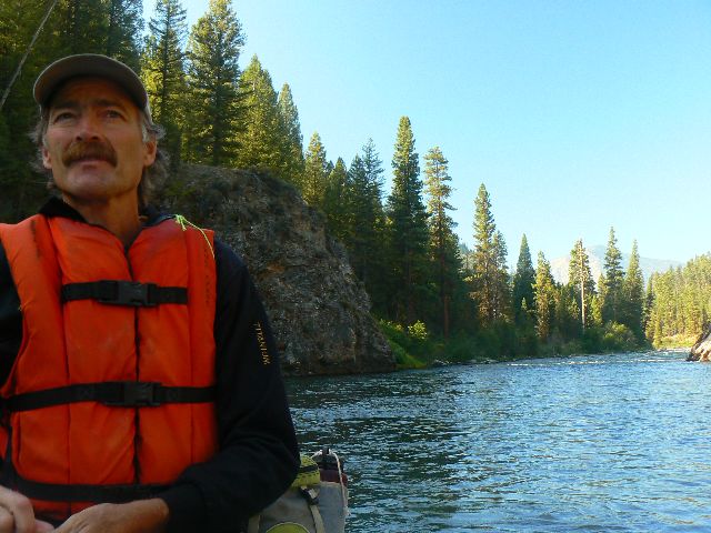
RM, 0 to 7.0; Boundary Creek to Trail Flat). "Boney!" Cries Ron W., Captain of Boats and
resident "expert" on the Middle Fork Salmon. Yes, once again we are bouncing off rocks,
avoiding rocks, grating with clenched teeth over rocks and more rocks. The water is low,
and despite our preparations - which included cutting out typical Armada-type equipment,
coolers and ice, other heavy stuff, we are pin-balling through the first day of MF rockville
in this most technical of rivers.
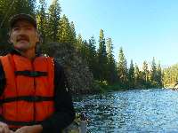
The "we" are Tom M. and Hazel C. of murky big water fame
from Flagstaff, Ron W. and Kathy D. of clear technical water fame from Pocatello, and
Kathleen and I, river neophytes. Kathleen holds the rare permit. I just happen to be
along because I know Kathleen.
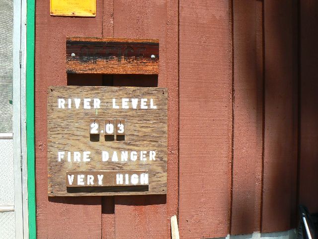
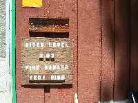
The river level is 2.08' according to a sign on the small
shed where we were summoned to get our river orientation. The rangers gave us a quiz, and
we pass all the questions but one, something about the proportion of length a rattlesnake
can strike. Then, it is our turn to ask the questions and Ron stumps them with questions
about the origins of the legislation creating the Frank Church River of No Return Wilderness
(FCRONRW), and the names of many of the sections that this fine wilderness now includes.
Ron should know, he skied across what would become the FCRONRW to help promote the passage
of legislation.
I say that Ron is an "expert" in deference to his and my mentor, Edson Fichter, one of the
founders of wildlife conservation. Edson lived around the corner from Ron and Kathy, and
they were friends for many years. Edson was my mentor in studies of animal behavior at
Idaho State University. Decades ago. Edson studied pronghorn antelope in the Pahsimeroi
area of Idaho for over 25 years. Yet, when local reporters wanted to interview him he would
not allow them to call him an "expert." Edson would say "I am a student of animal behavior,
and you can report that, but if you call me an "expert," you won't be doing any more
interviews with me." Ron has floated the MF something over 20 times. So, Ron is an "expert"
on the MF Salmon.
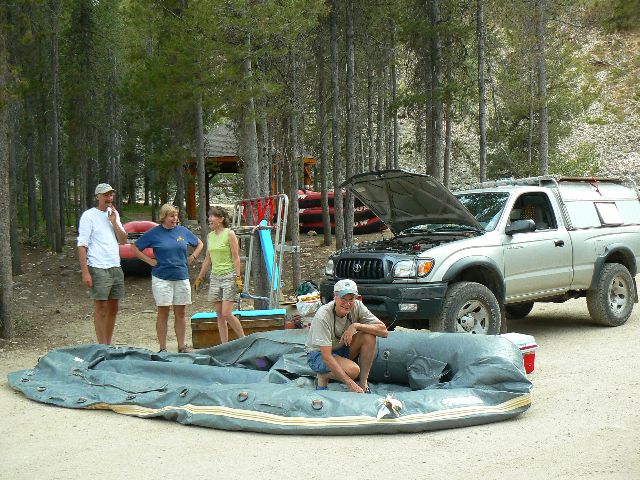
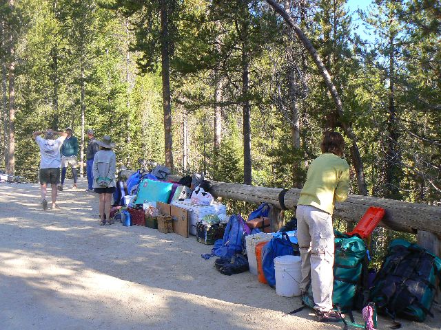
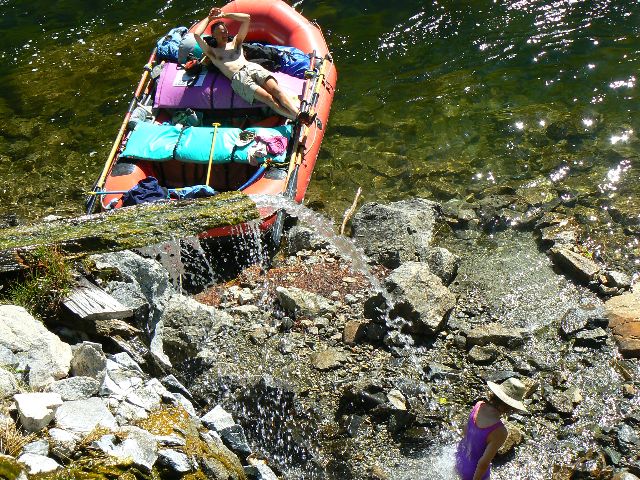
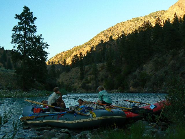
Earlier, preparations, more preparations. Driving and
driving, over 1000 miles for some of us. Inflating boats, sliding them down the ramps,
loading and securing the loads. Finally, we're on the river.
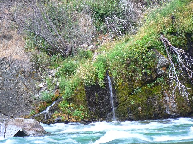
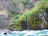
More rocks. Ramshorn Rapids, then the silent deception
of Velvet Falls. One hears the nearby cascades, not the falls, thus the name. All of
seven miles in the boneyard to camp at Trail Flat. It's too hot to even think about hot
springs. But, Tom is happy for the heat because it helps cure the three small patches
applied to his boat. Later, a thunder storm swoops in and with the rain comes a dramatic
drop in temperature. Now it is definitely hot springs time, where we lounge and admire
the mist rising into the cool air. We slip into the rhythm of river time, on this, The
River of No Return.
|
|---|
day3 boat ramp at Indian Cr.
(Click the image for a full-size view)
|
|---|
|
|---|
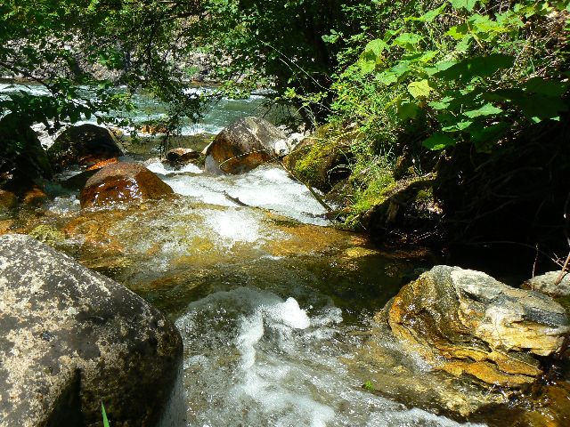
day3 jade waters approaching Indian Cr.
(Click the image for a full-size view)
|
|---|
|
|
|---|
day3 Tom in calm section
(Click the image for a full-size view)
|
|---|
|
|
|---|
day3 water level at Indian Cr
(Click the image for a full-size view)
|
|---|
|
|
|---|
day3 tic
(Click the image for a full-size view)
|
|---|
|
|
|---|
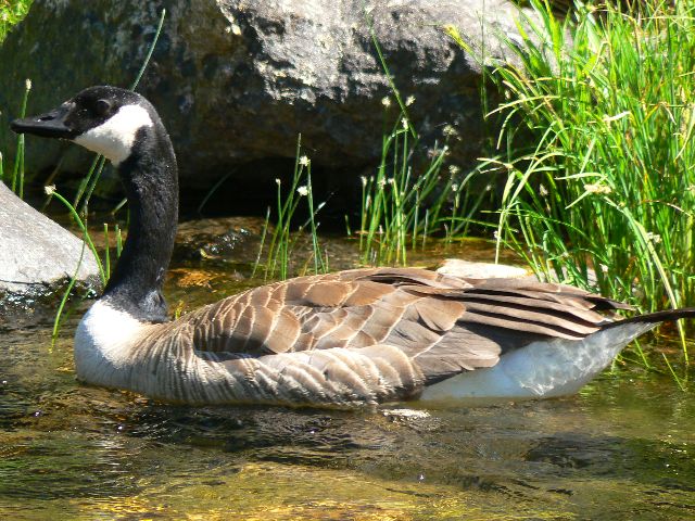
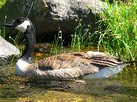
day4 Canada Goose
(Click the image for a full-size view)
|
|---|
|
(There are - More photos below each day of the trip narrative.
Total photos = 63.)
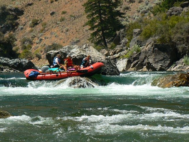
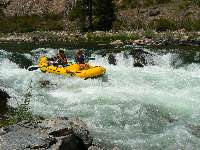
River Day 2: River Day 2: Powerhousing to Dome Hole.
(RM 7.0 to 16.0, Trail Flat to Dome Hole Camp.) The Chutes start us on a minor rapid day,
followed by Elkhorn and Powerhouse, a long rock garden. Ron, Kathy, and Kathleen bump and
glide through The Chutes. We get stuck sideways and are trapped in the Chutes for several
minutes. Water nearly pours in from the upstream side, but somehow we escape, pushing to
pivot, then running much of the remainder of the garden backwards. Nice job with the
backwards navigation, Tom.
After touring the cabin near Powerhouse, and the Powerhouse,
we run the three legs of this garden - grinding hard on a rock sleeper.
We are at Joe Bump for lunch, followed by a tour of the
namesake cabin. We marvel at the hand-dug ditches and wonder if Joe was an hydraulic miner
because of the pile of rocks, sans dirt, piled near the end of the ditch. During lunch,
we talk of Frank Church and the compromises and arm-twisting made in the designation of
this fine wilderness - and then the Symmscycles, bushcos, and how the Boulder-White Clouds
proposed official wilderness is sullied with ORV routes and other, hideous, unacceptable
features. Sad. A legacy of terrorists (oil dependency) and resource ruin rather than a
legacy of land and stewardship for future generations.
Now, I'm lounging on the bench above the River at
seldom-used Dome Hole Camp, anticipating bean burritos with fixings, despite having no
ice and generally Spartan fare. Lovely. After a sunshower, some tea, and a lounge, it's
still hot and thunder clouds are building.
|
|---|
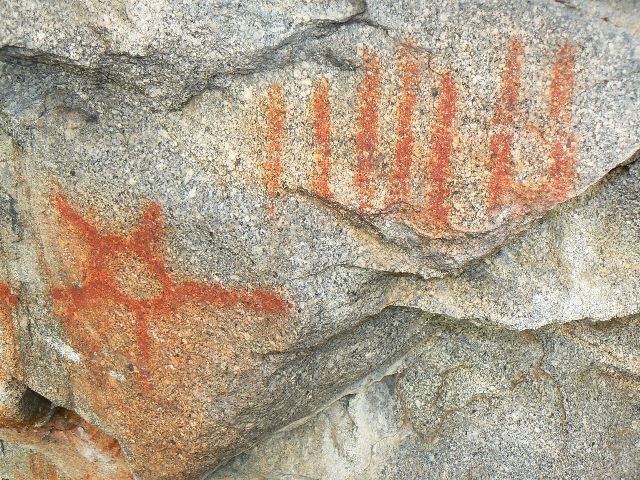
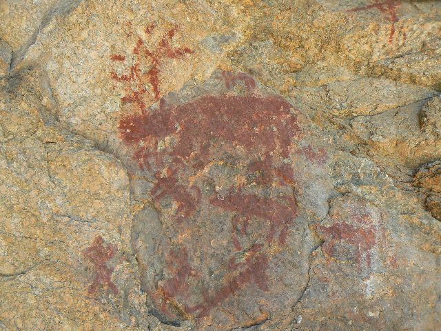
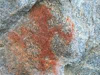
day4 Ski Jump picto
(Click the image for a full-size view)
|
|---|
|
|---|
day4 Ski Jump picto
(Click the image for a full-size view)
|
|---|
|

|
|---|
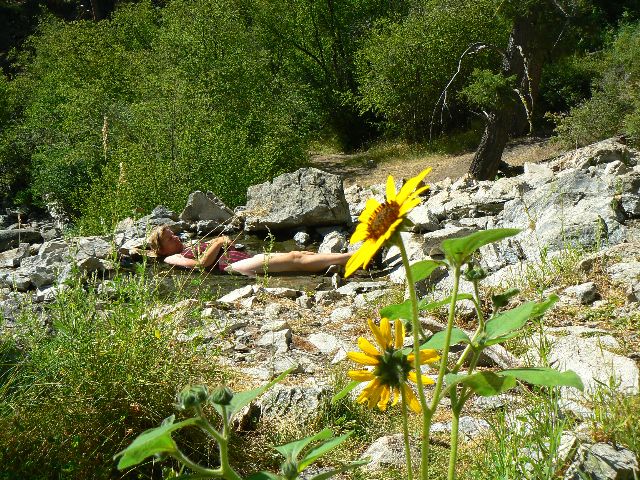
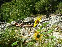
day4 Sunflower Flat HS
(Click the image for a full-size view)
|
|---|
|
|
|---|
day 4 Hazel in Sunflower Flat
(Click the image for a full-size view)
|
|---|
|
|
|---|
day4 Rhett, Bruce et al. at Little Cr.
(Click the image for a full-size view)
|
|---|
|

|
|---|
day4 river talk
(Click the image for a full-size view)
|
|---|
|
(There are - More photos below each day of the trip narrative.
Total photos = 63.)
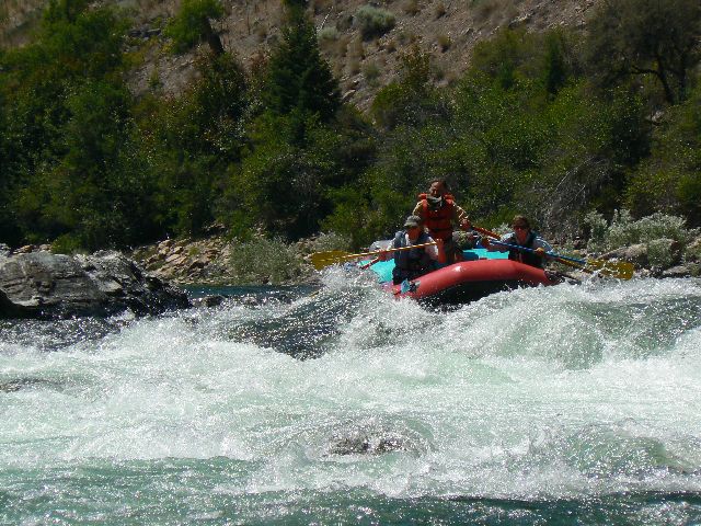
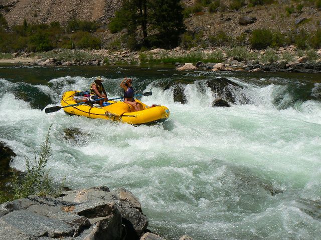
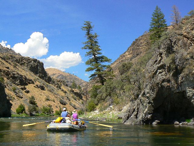
River Day 3: Little Soldering On (RM 16.0 to 31.3;
Little Soldier Camp.) The fabled rootball flies past in the din of the rapids. Also,
the gauntlet of the picket fence - it's somewhere in the whitewater astern. Seemingly
long ago, we skirted the lone tree standing aside the debris flow from Lake Creek.
Negotiating the short rock garden, we're now in the top notch of Pistol Creek Rapid,
followed by the S-bend and now, suddenly, we are twirling, rejoicing in the champagne
bubble fish bowl where the drop pools out. Whew, a panic-inspiring section.
Earlier today, we thread through Artillery Rapid,
Cannon Cr. Rapid, and the slack water leading to this Lake Creek Rapid.
Soon, we're viewing the insulting atrocities of the
Pistol Creek Ranchettes and Condos. Buy your little intrusion into public land, then
vote for bushco so you can have it tax free. Next, a long lunch stop at Indian Creek RS
and etc. It's strangely quiet when we arrive. "Where is Grand Central Indian?" I wonder.
Things pick up later, but for now I go looking for Ranger Rick and other folks I know from
Kathleen's and my adventures here in 2005. Alas, Ranger Rick is running the River patrol
from town - quite a change from his days at Indian Creek RS. We also learn that Backcountry
Ranger Joe Bishop has been out of action for two years with Lymes Disease and is not
doing well. Bruce W. of Idaho Falls is rumored to again be at our old haunts of Little Creek
GS.
With the beach clogging with rafts, a sweep boat, and
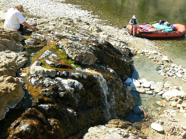
duckies, we opt out and stop in at Pungo Creek for a look at pit house depressions. Then,
Little Soldier, where I am sitting in the shade and enjoying the bulky elegance and whiff of
sweet vanilla from Ponderosa Pine, locally called Yellow Pine.
I find a tic immersed in my scalp while untangling wind
knots from my hair. Yikes - what damage has this beast done?
|
|---|
day5 Tom sets up for rapids
(Click the image for a full-size view)
|
|---|
|
|---|
day5 White Cr Bridge
(Click the image for a full-size view)
|
|---|
|

|
|---|
day5 Hospital Bar HS
(Click the image for a full-size view)
|
|---|
|

|
|---|
day5 Kathy & Hospital Bar HS
(Click the image for a full-size view)
|
|---|
|
|
|---|
day5 Grouse Cr. meets MF
(Click the image for a full-size view)
|
|---|
|
|
|---|
day5 rolling off a rock
(Click the image for a full-size view)
|
|---|
|
(There are - More photos below each day of the trip narrative.
Total photos = 63.)
River Day 4: Little Creek GS Redux
(RM 31.3 to 45.7; Little Creek at 35.7, camp at Culver Creek.)
It's a magical mystic
for me, this Little Creek GS. Fond memories and a longing. More. Just a little
more - perhaps a couple of months. More.
We started the day with a roll through Marble Creek and a
swoosh through Ski Jump, then climbed up to view the Ski Jump pictos before continuing down
to Sunflower Flat for a brief HS frolic, albeit it's really too warm for HSs. Passing the
eyesore of Middle Fork Lodge, we near Little Creek and the GS. We park and walk nostalgic
across the GS bridge and find Rhett M, and later Bruce W. to be wonderful hosts. A memory
lane waltz around the GS compound and a walk to the Sater Cabin, accompanied by the big red
mule trained by Joe Bishop. A very gregarious fellow. The hundreds of feet of fence we built
in 2005 look good.
Too soon we're flushing through Jackass and passing Cameron
Creek (no picto stop today) and Cougar Creek and the well-named Red Bluff. Culver is a good
small camp, yet we struggle across the boulders to a white sand beach scented with stately
P-Pines.
|
|---|
day5 tappan falls - Doug group
(Click the image for a full-size view)
|
|---|
|
|---|
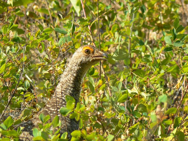
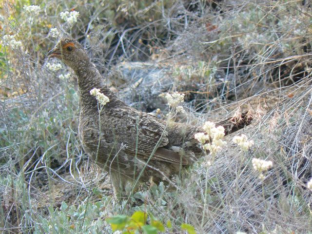
day5 Blue Grouse
(Click the image for a full-size view)
|
|---|
|

|
|---|
day5 Blue Grouse
(Click the image for a full-size view)
|
|---|
|
|
|---|
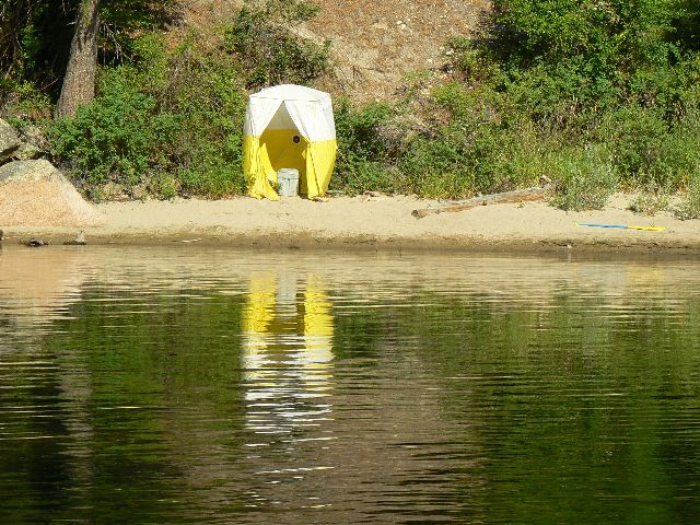
scenic toilet
(Click the image for a full-size view)
|
|---|
|
|
|---|
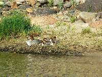
day5 a crowd of Mergansers
(Click the image for a full-size view)
|
|---|
|
|
|---|
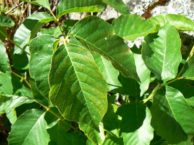
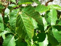
poison ivy
(Click the image for a full-size view)
|
|---|
|
(There are - More photos below each day of the trip narrative.
Total photos = 63.)
River Day 5: Tripping Tappan and Fun to Funston.
(RM 35.7 to 61.8, camp at Funston Camp.) Clank, yank, and I'm pole-vaulted partway out of
the seat as the downstream oar sticks between shallow rocks and stops - but the raft does
not. This is what happens when a neophyte is at the oars - even though coached by Ron.
We're down River from Tappan Falls and rapids, including the unspecified Earthquake Rock.
Several rocks were added as River obstacles during a fairly recent earth tremor.
Earlier, we loafed on down the River, past Big Loon Camp,
skipping the HS but finding some unmarked (on the map) pictos near RM 51 before stopping at
Hospital Bar. The HS is puny and it's hot, so down we go to lunch at Lower Grouse, visiting
Tappan Ranch, complete with old farm equipment. We stock up on cool, crisp water from
Grouse Creek.
On through the Tappan Rapid series and past Camas Creek to
Funston, where the weather is like the GC - hot wind, hot sand, and this at 8 p.m. A bit of
exploration of Big Bear Creek and a shower - priceless. I encounter lots of friendly grouse
during my stroll up Big Bear.
Smoke rolls in before sunset, sullying the air and turning
the view a rusty gray. The air quality approaches that of smog lake, utah. A hot wind blows.
Overall, it is ick. The wind reverses and cools and clears the air, just in time for a song
dog enhanced bedtime.

|
|---|
day6 Kathy rows serene
(Click the image for a full-size view)
|
|---|

|
|---|
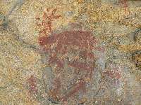
day6 Ron mimics shark fin picto
(Click the image for a full-size view)
|
|---|
|

|
|---|
day6 shark fin picto
(Click the image for a full-size view)
|
|---|
|

|
|---|
day6 shark fin picto
(Click the image for a full-size view)
|
|---|
|
|
|---|
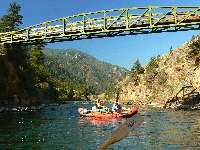
day6 Bernard Bridge
(Click the image for a full-size view)
|
|---|
|
|
|---|
day6 fluffy cloud day
(Click the image for a full-size view)
|
|---|
|
(There are - More photos below each day of the trip narrative.
Total photos = 63.)
River Day 6: A Hole in One Day and Cooking Flies.
(RM 61.8 to 75.0; camp at Fly Camp.) Thump. Clump. Snagged on a rock in Haystack Rapid
near Bernard RS. Tom and I get out to push lose the raft and Tom has to haul me back into
the raft as it breaks lose and threatens to roll on over me. We lilt heavily through the
remainder of the rapid and discover there is a hole in the center of the boat floor.
Now, we're cowering under the scant shade of Hawthorns
and happy they are here at Baked Fly Camp. Tom is patching the boat and Ron is swimming
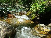
across to the tiny waterfall glen of Kimmel Creek. We all join in for a refreshing swim
in the warmer than usual River.
Previously, we toured in coolness around Aparejo
Point - site of lust of damn dam builders that never was. Yahoo. Then, on to the
Flying B, greatest extent of our down River hike of 2003. We enjoyed lunch at delightful
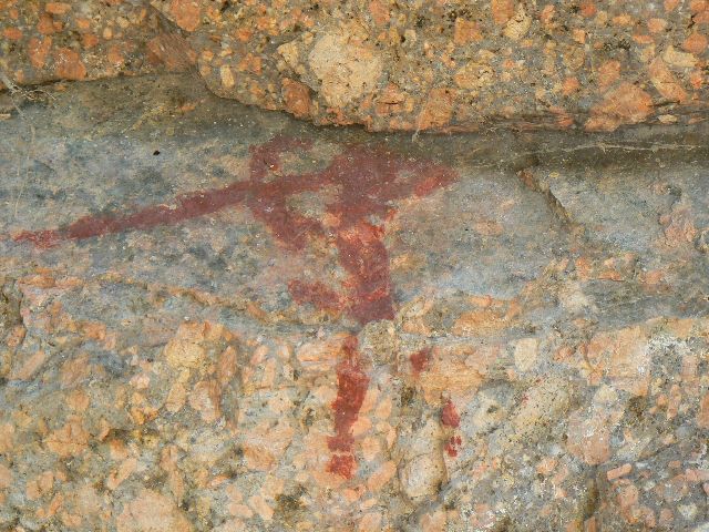
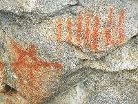
Cold Spring before the series of Jack Creek Rapids. A stop at Rattlesnake Cave Pictos
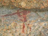
(RM 73.7) and an earlier stop at shark fin rock pictos (RM 62.4) reveal special messages,
if one could but decode them.
|
|---|
day6 Rattlesnake Pictos
(Click the image for a full-size view)
|
|---|
|
|---|
day6 Rattlesnake Pictos
(Click the image for a full-size view)
|
|---|
|
|
|---|
day6 happy for camp
(Click the image for a full-size view)
|
|---|
|
|
|---|
day6 Kimmel Cr.
(Click the image for a full-size view)
|
|---|
|
|
|---|
day7 Big Cr. (L) meets MF
(Click the image for a full-size view)
|
|---|
|
|
|---|
day7 mile 0 Big Creek
(Click the image for a full-size view)
|
|---|
|
(There are - More photos below each day of the trip narrative.
Total photos = 63.)
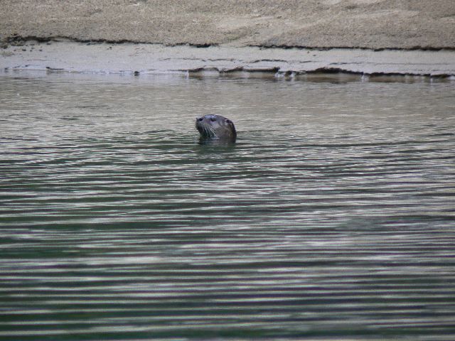
River Day 7: That Otter Do It!
(RM 75.0 to 92.2; Solitude Camp.) The three (or is it four!?) Northern River Otter
pups roll and flip easily, rolling through the deep hole near Cradle Creek. Mom pops
up and chirps at us, scolding us, or perhaps the pups. A caution? So graceful. So rare.
So silent and serpentine. It's a precious opportunity to be witness to this apparent play
session, pups chewing on each others' ears, chasing. Wow.
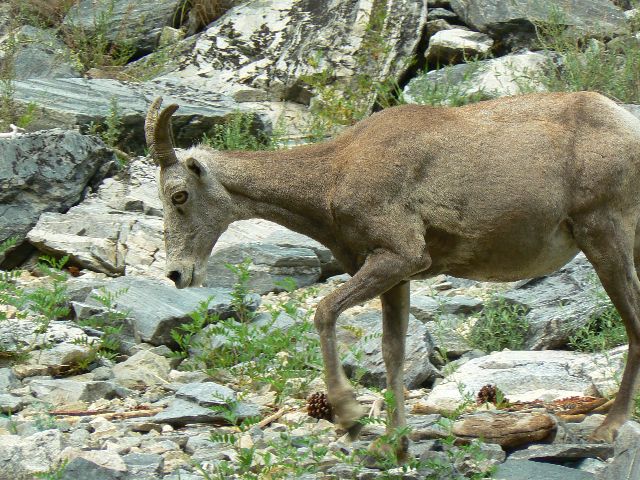
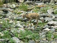
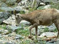
Next up - more photo ops, this time it's Bighorn Sheep
and lambies. Tom whistles to them and this allows us to float to where I shortened the
focal length. Canada Geese and Mergansers too.
Earlier today we passed Waterfall Creek as it tumbles
unfettered and cascades thousands of feet from the Bighorn Crags. I recall a hike decades
ago when day hiking from a Crags camp. I met two smokejumpers overly laden with gear,
hiking to meet Jack the Packer. I took some of the gear to help and about this time Jack
arrived with a couple of mules. I longingly looked down the basin toward the unseen and
distant MF Salmon. Someday, I told myself. Well, someday is today, I muse, as the frothing
churn of Waterfall collides with a deep jade MF pool.
Next up, the Big Creek pack bridge and the large Big Creek,
larger by far than most (all?) of the named "rivers" in Nevada, save the Colorado.
Finding the "mile 0 - of Big Creek" monument from 1917 atop a large boulder at the Big
Creek/MF confluence, we gaze at the end of the River trail and muse about Impassable Canyon,
where no trail penetrates until MF mile 0 on the USGS scale, or RM 95+ on our currently
used metric - a distance of nearly 20 RM from Big Creek and the next time we see the trail,
near Stoddard Creek. (The USGS apparently counts river miles from the mouth, whereas most
river maps count from the river head, that is the put-in.)
The mystical grotto of Veil Falls is next - reportedly the
site of many River weddings. Ron and Kathy commune with a granite slab and enjoy the veil
of the falls.
Waterfall Creek, Big Creek, Porcupine, Redside, Weber Rapids
to Mist Falls for lunch. Tom and Ron brush hike to the falls, and Kathleen and I get ridged
out, but afforded a view of the grotto and this mini-Veil.
We hiked up Nugget Creek and explored the Parrot
Cabin. Ron and Tom find the relics of a ladder and a route to where Parrot, a determined
hermit, kept his 'upper' cabin and fields so he could escape the River crowds. Upper and
Lower Cliffside, Ouzel, Rubber, and Hancock Rapids before camp, finally.
|
|---|
day7 Kathy on Big Cr. Mile 0 rock
(Click the image for a full-size view)
|
|---|
|
|---|
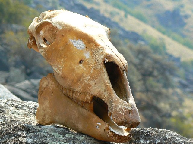
day7 not a survivor
(Click the image for a full-size view)
|
|---|
|
|
|---|
day7 Waterfall Cr.
(Click the image for a full-size view)
|
|---|
|

|
|---|
day7 to the Bighorn Crags
(Click the image for a full-size view)
|
|---|
|
|
|---|
day7 entering Impassable Can.
(Click the image for a full-size view)
|
|---|
|
|
|---|
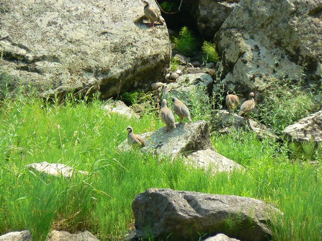
day7 Chukars
(Click the image for a full-size view)
|
|---|
|
(There are - More photos below each day of the trip narrative.
Total photos = 63.)
River Day 8: Bar Crawling, MF Style.
Bumping Rapids to Cache Bar. (RM 92.2 to 98.3; off the River.) The sand snakes hiss
and screech as the wind hurls grizzly-white grains into our eyes, ears, anything and
everything. Even there. We are fortunate that the clouds protect us from the laser-hot sun.
Yet, with it comes bits of rain but mostly wind and sand. We cower in the rocks at Solitude
Camp and fate arrives with decreasing wind and enough rain to compel us to erect tents -
followed by relative calm. This was how Day 7 concluded.
Today, we are doing the MF Salmon version of pub crawling,
albeit to
Cache Bar, and, not a bar at all - at least in the classic sense. It's a lovely, intensely
quiet early morning punctuated by a roiling series of Unnamed Boulder Choke, Devil's Tooth,
House Rock, Unnamed Boulder Choke, Jump-off, Unnamed Boulder Choke, and Goat Creek Rapids
along the fast and short three miles to the confluence with the Main Salmon. As is typical,
Ron uses finesse to achieve proper alignment, then lilts through the rapids. We do well,
but without the finesse and lilting.
A road. Ick. A noisy vehicle rattles on this road.
Double ick. We all look back up canyon. Too soon. Might the flow reverse?
Now, we're in the large flow of the Main Salmon as we drift
beneath the Stoddard Pack Bridge and marvel at the trail winding and switching to a low pass,
some 1600' above - the end of the Stoddard Trail to Big Creek, the one contouring around
Impassable Canyon.
Finally, the chute of Cramer Creek Rapids - formed a few
years ago by the blow-out of, what else, Cramer Creek, a narrow defile entering from the
North.
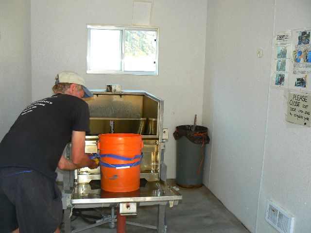
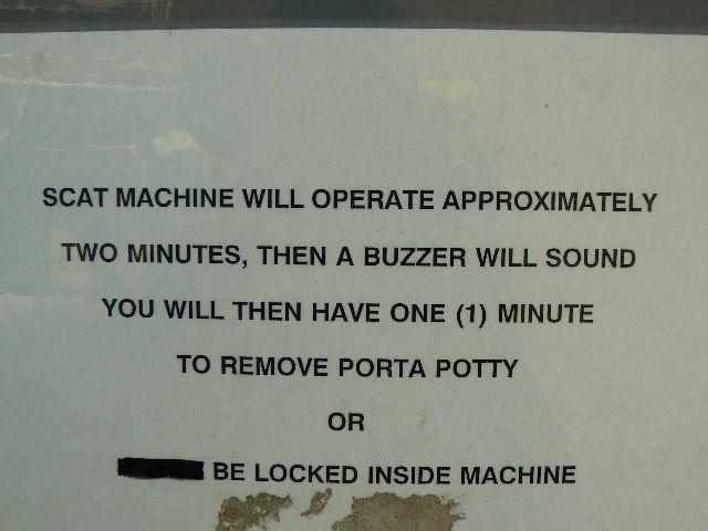
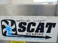
All too soon, boats are deflated and packed and we're off
to retrieve the final vehicle from Blacadar's Salmon lot. But first, the hydraulic bidet
of the scat machine before winding River side to North Fork and beyond.
The River of No Return and those that returned with glorious
memories.

|
|---|
day7 Ron & Kathy - Veil Falls
(Click the image for a full-size view)
|
|---|
|
|---|
day7 Veil Falls
(Click the image for a full-size view)
|
|---|
|
|
|---|
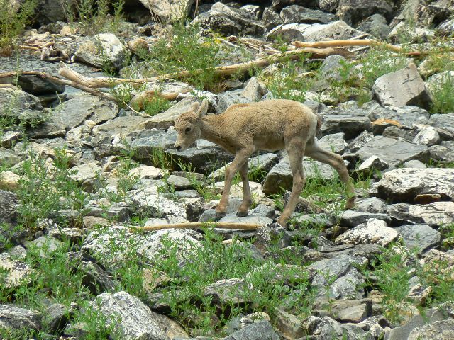
Bighorn Sheep Lamby
(Click the image for a full-size view)
|
|---|
|
|
|---|
Bighorn Sheep Mom
(Click the image for a full-size view)
|
|---|
|
|
|---|
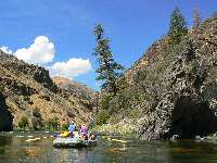
day8 still Impassable
(Click the image for a full-size view)
|
|---|
|
|
|---|
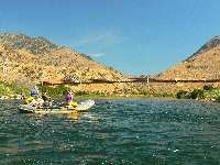
day8 rolling to the confluence
(Click the image for a full-size view)
|
|---|
|
(There are - More photos below.
Total photos = 63.)
After we loaded out from Cache Bar, we started thinking
about all that shit. Then,
we started thinking about
all that shit created by king george's unconstitutional seizing of power!
Frightened yet? Are we a nation of laws or kings
and queens? Impeachment is the cure for the current constitutional crisis.
Impeachment of Cheney and Bush are critical because, in the
words of Bruce Fein (former associate deputy attorney general under former President
Ronald Reagan - that is, he is no liberal):
"... because he is seeking more
institutionally to cripple checks and balances and the authority of Congress and the
judiciary to superintend his assertions of power. He has claimed the authority to tell
Congress they don't have any right to know what he's doing with relation to spying on
American citizens, using that information in any way that he wants in contradiction to
a federal statute called the Foreign Intelligence Surveillance Act. He's claimed
authority to say he can kidnap people, throw them into dungeons abroad, dump them
out into Siberia without any political or legal accountability. These are standards
that are totally anathema to a democratic society devoted to the rule of law."
"... Take, for instance, the assertion that he's made
that when he is out to collect foreign intelligence, no other branch can tell him what
to do. That means he can intercept your e-mails, your phone calls, open your regular mail,
he can break and enter your home. He can even kidnap you, claiming I am seeking foreign
intelligence and there's no other branch Congress can't say it's illegal--judges can't
say this is illegal. I can do anything I want. That is overreaching. When he says that
all of the world, all of the United States is a military battlefield because Osama bin
Laden says he wants to kill us there, and I can then use the military to go into your
homes and kill anyone there who I think is al-Qaeda or drop a rocket, that is
overreaching. That is a claim even King George III didn't make--"
See the rest of the
interview with Fein and the case for impeachment of bush and cheney.
Yet, for this moment, I am thinking about
The River of No Return and those that returned with glorious
memories.
|
|---|
day8 what road, what confluence?
(Click the image for a full-size view)
|
|---|
|
|---|
day8 load out
(Click the image for a full-size view)
|
|---|
|
|
|---|
day8 Ron handles the scatamatic
(Click the image for a full-size view)
|
|---|
|
|
|---|
day8 scat sign
(Click the image for a full-size view)
|
|---|
|

|
|---|
day8 yikes
(Click the image for a full-size view)
|
|---|
|
|
|---|
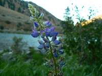
lupine
(Click the image for a full-size view)
|
|---|
|
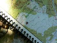
RM, River Miles, were taken from the map we used: Guide to the Middle Fork and Main
Salmon Rivers, Idaho, Boundary Creek to Carey Creek, Duwain Whitis & Barbara Vinson.
Books to buy and take along:
The Middle Fork: A Guide (Revised) Johnny Carrey & Cort Conley. Cambridge, Idaho:
Backeddy Books, c.2003. ISBN-10: 0960356614.
The Middle Fork & the Sheepeater War, Johnny Carrey & Cort Conley. Rev. ed. Cambridge,
Idaho: Backeddy Books, c1980.
A guide to the Middle Fork of the Salmon River and the Sheepeater War,
by Johnny Carrey and Cort Conley. Riggins, Idaho: Backeddy Books, c1977.
River of no return, by Johnny Carrey & Cort Conley. Cambridge, Idaho: Backeddy Books, c1978.
Never turn back: the life of whitewater pioneer Walt Blackader, by Ron Watters.
Pocatello, Idaho : Great Rift Press, c1994. ISBN: 1877625027 1877625035 (pbk.)
Links:

USGS river level gauge for the MF Salmon River At MF Lodge
Remote weather station near Little Creek GS
The Frank Church Wilderness (forest service, look for "users guide")
The Frank Church Wilderness (Ralph Maughan)
Great Rift Publishing: (Never Turn Back - Walt Blackadar, Idaho Paddling,
The Whitewater River Book - books by Ron Watters)
South Fork of the Salmon Wild and Free: An On-line Book by Jerry S. Dixon
See a constitutional scholar
make the case for impeachment of bush and cheney.
Our shuttles were provided by Blackadar Boating,
perhaps the best service you will receive in the area.
Previous WV trip reports of the Frank Church Wilderness:
Salmon Sojourn! Volunteering at Little Creek Guard Station. Fifty-five days near River
Mile 35 on the Middle Fork of the Salmon River
in the Frank Church River of No Return Wilderness (2005)
Boundary Creek to the Flying B (2003)
Llamalot at the Middle Fork Salmon, The Sequel! (1998)
Llamalot at the Middle Fork Salmon? (1997)
Llama Lounging In The Crags:
Packing in Idaho's Bighorn Crags (1997)
| | | | | | | | | |