|
|---|
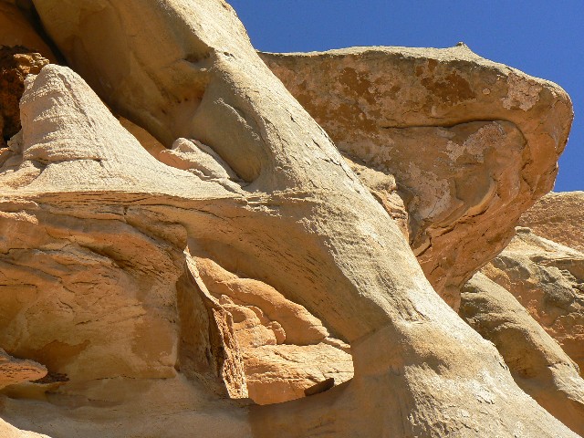
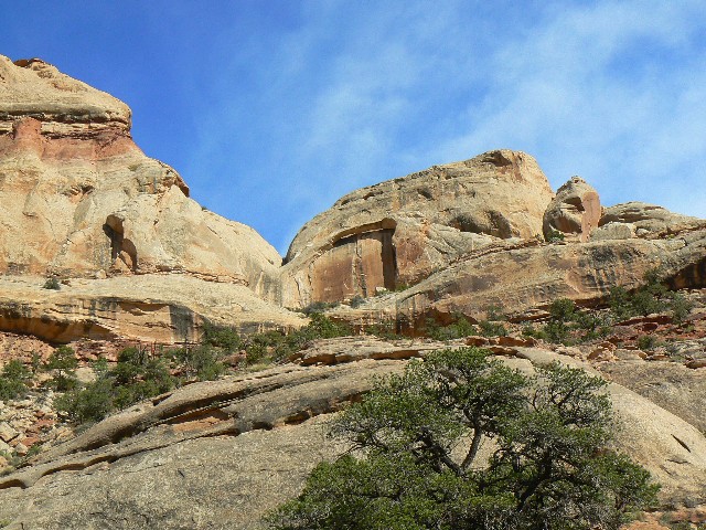
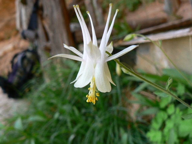
Day 6 Columbine
(Click the image for a full-size view)
|
|---|

|
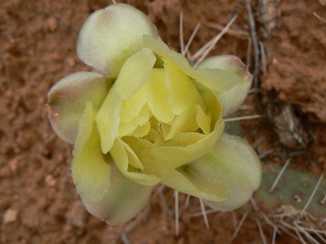
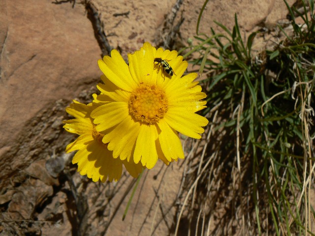
|---|
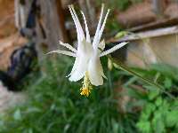
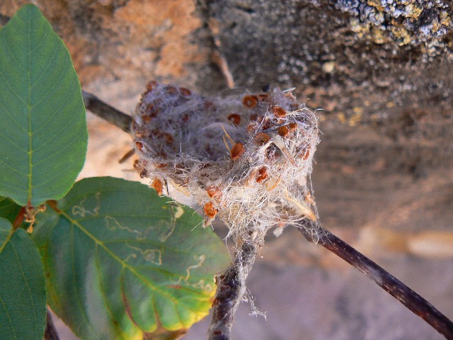
Day 6 Flower
(Click the image for a full-size view)
|
|---|
|
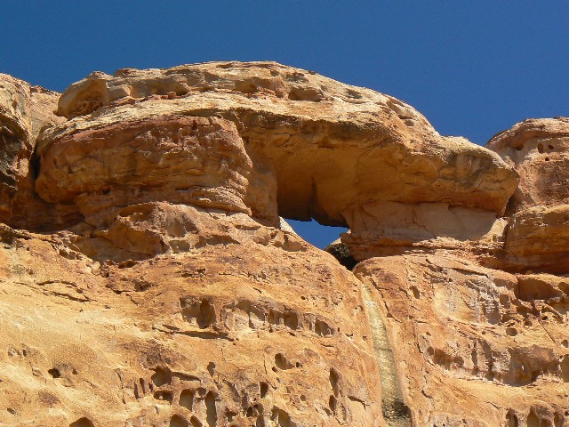
|
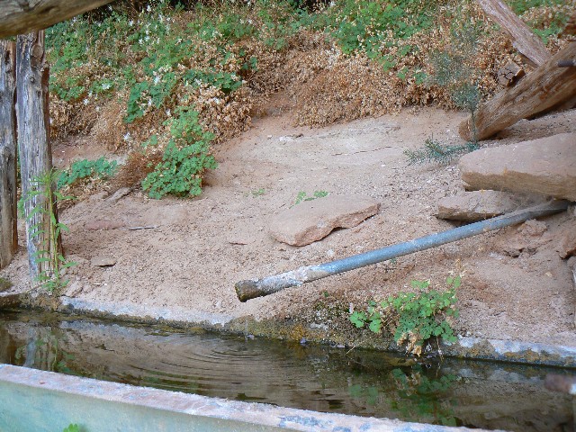
|---|
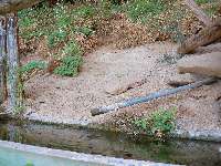
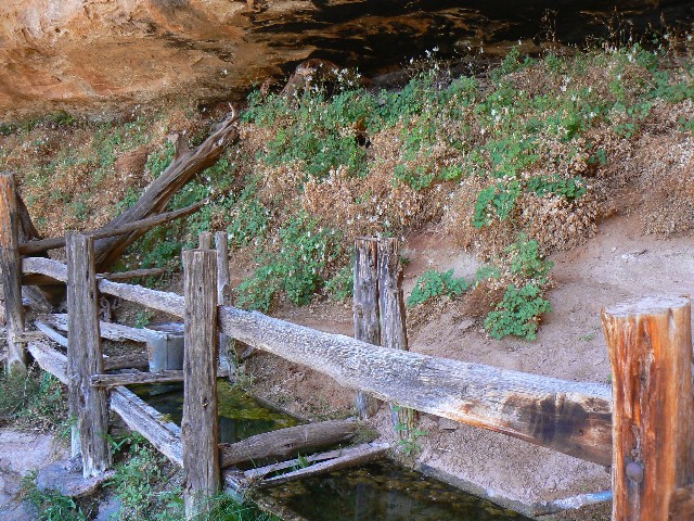
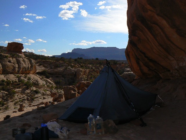
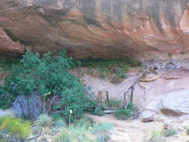
Precious Water
(Click the image for a full-size view)
|
|---|
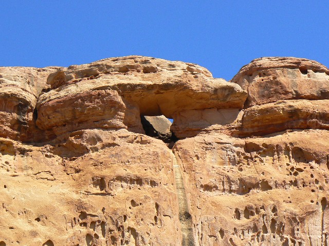
|
|
|---|
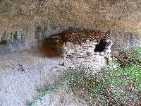
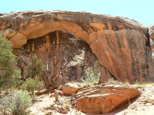
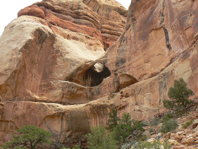
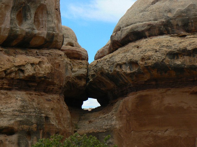
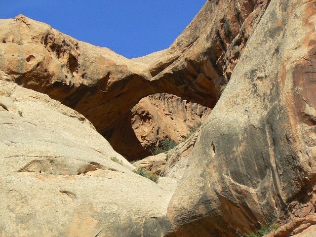
Pueblo Ruin
(Click the image for a full-size view)
|
|---|
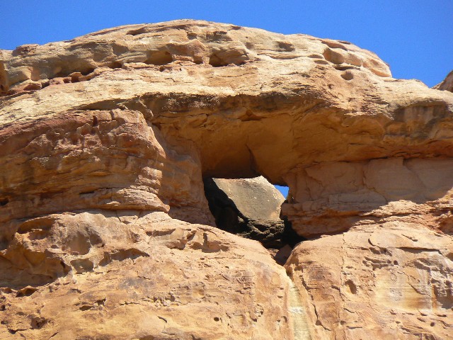
|
|
|---|
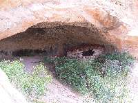
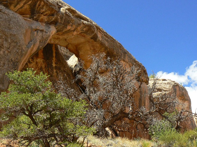
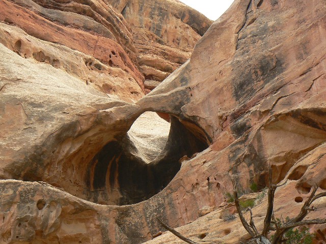
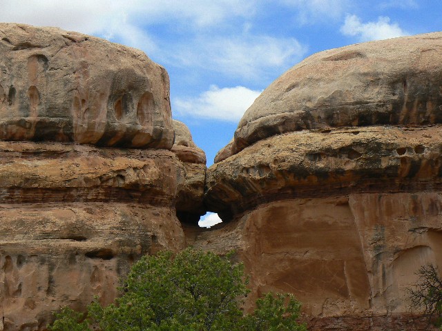
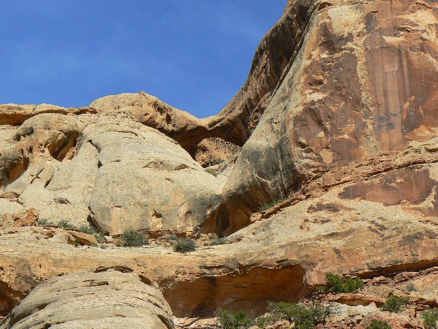
Pueblo Ruin
(Click the image for a full-size view)
|
|---|
|
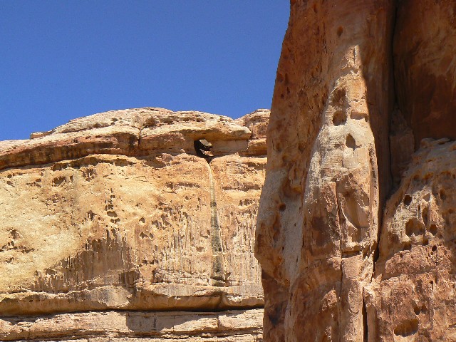
|
|---|
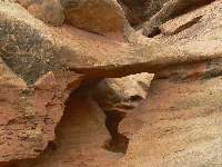
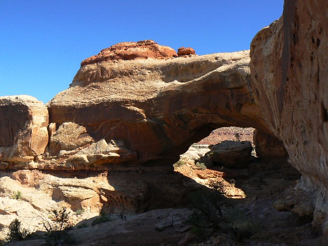
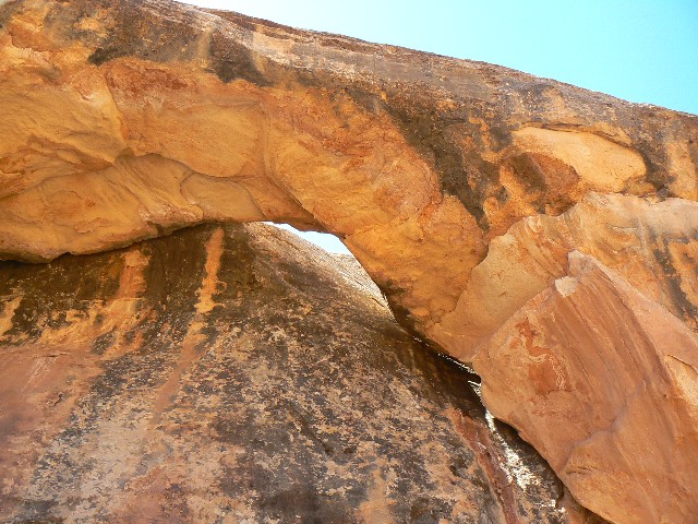
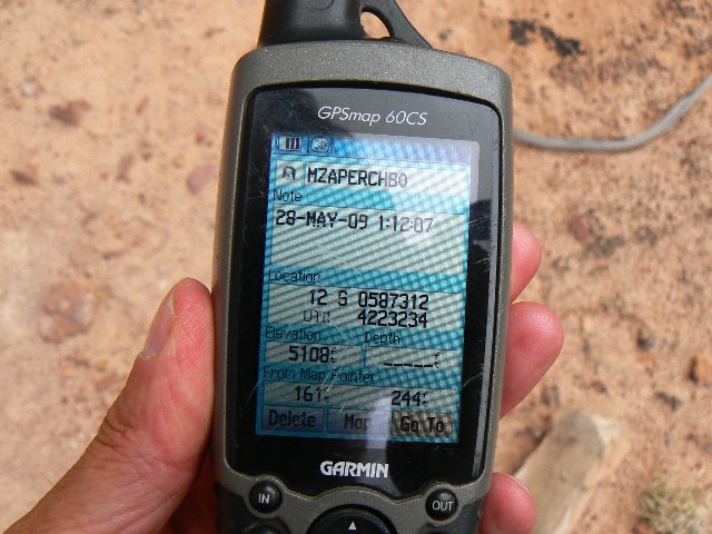
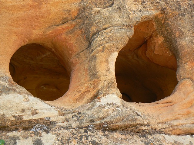
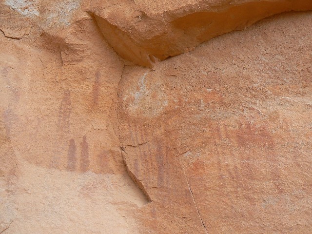
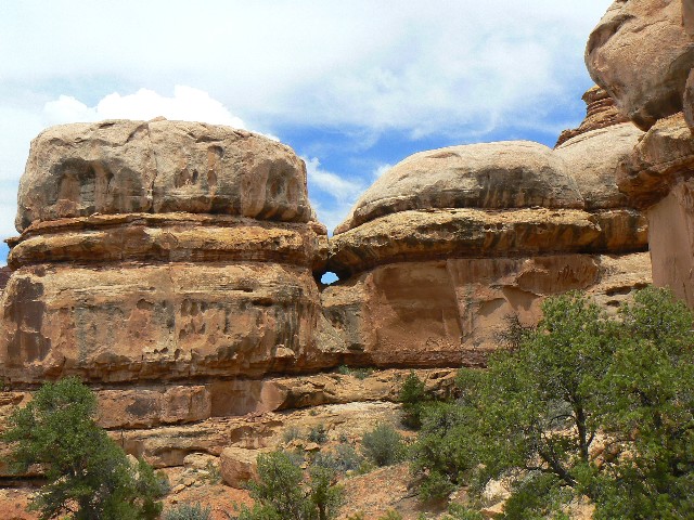
28-ut-595 1
(Click the image for a full-size view)
|
|---|
|
|
|---|
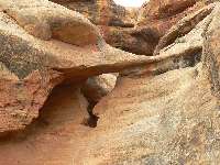
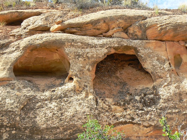
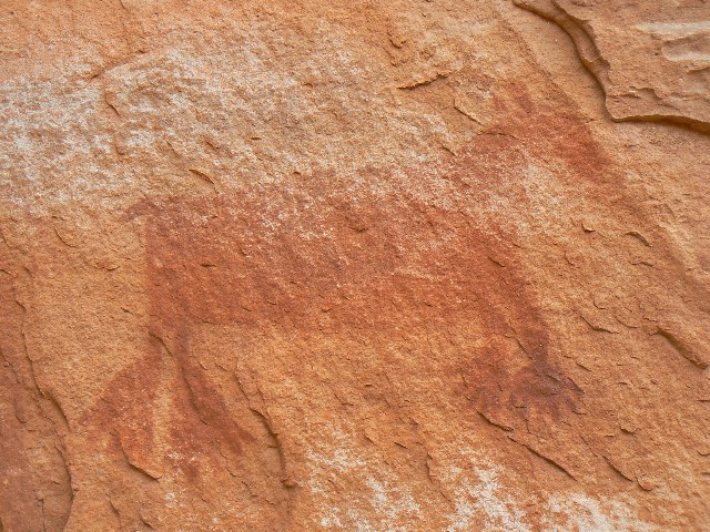
28-ut-595 2
(Click the image for a full-size view)
|
|---|
|

|
|---|
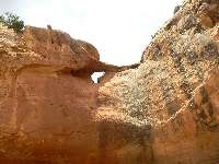
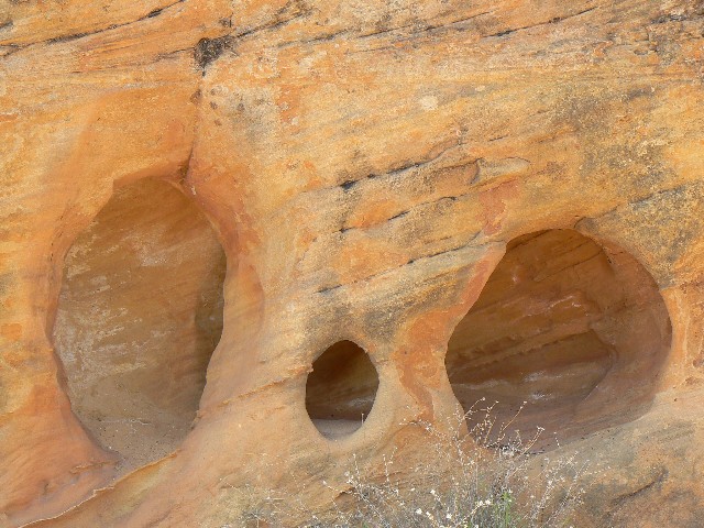
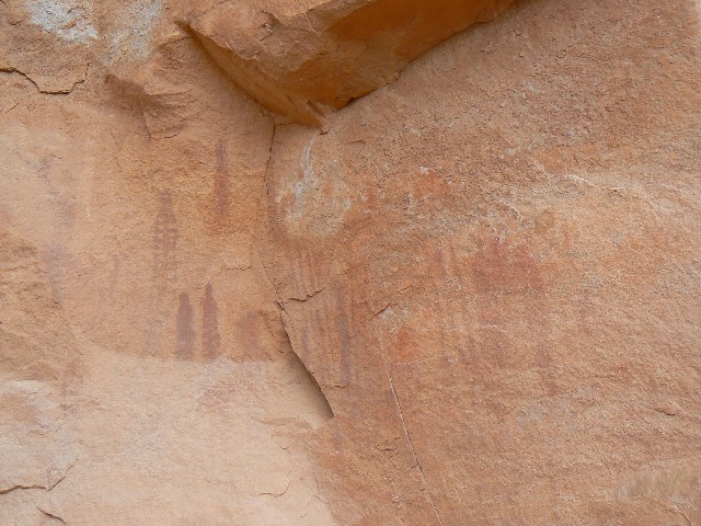
28-ut-595 3
(Click the image for a full-size view)
|
|---|
|
|
|---|
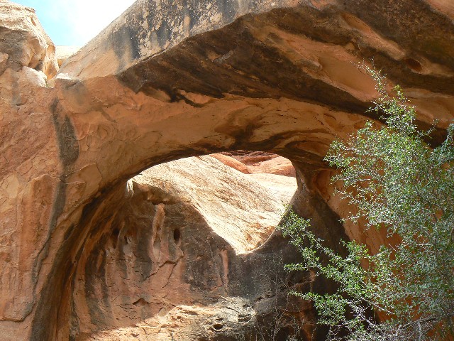
28-ut-595 4
(Click the image for a full-size view)
|
|---|
|
|
|---|
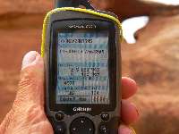
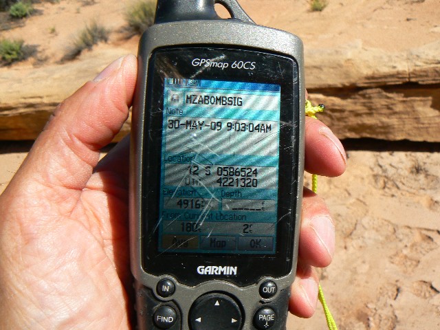
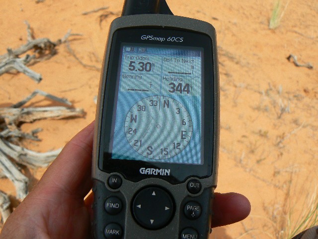
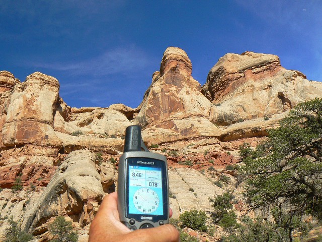
28-ut-595 gps
(Click the image for a full-size view)
|
|---|
|
|
|---|
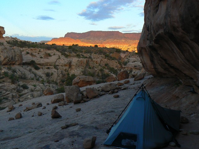
NRA Sunset
(Click the image for a full-size view)
|
|---|
|
|
|---|
Sunset and the Henry Mtns.
(Click the image for a full-size view)
|
|---|
|
Post-hike, Day 8 by total trip:
I get up and tour my slickrock bedroom. I can see the water
tower of Hite and a bit of the sewage pond, bathtub ring displaying the excessive growth
this region has failed to sustain. Quiet. Still, I have seen no one since day 1 of the
hike. Lovely. Solitaire. Desert Solitaire, a phrase borrowed from Ed Abbey, most likely
his most significant book.
I drive the last two miles to the tarmac, then
continue towards the Moqui Dugway lilting down toward Mexican Hat. I did not see another
person until I was past Hite, out of the NRA (National Recreation Area) across White Canyon,
droning along the highway and feeling like I was going out of control fast at 50 MPH.
A fitting conclusion, seeing no one along this first stretch of tarmac, to an A-Mazing Maze
Solitaire.
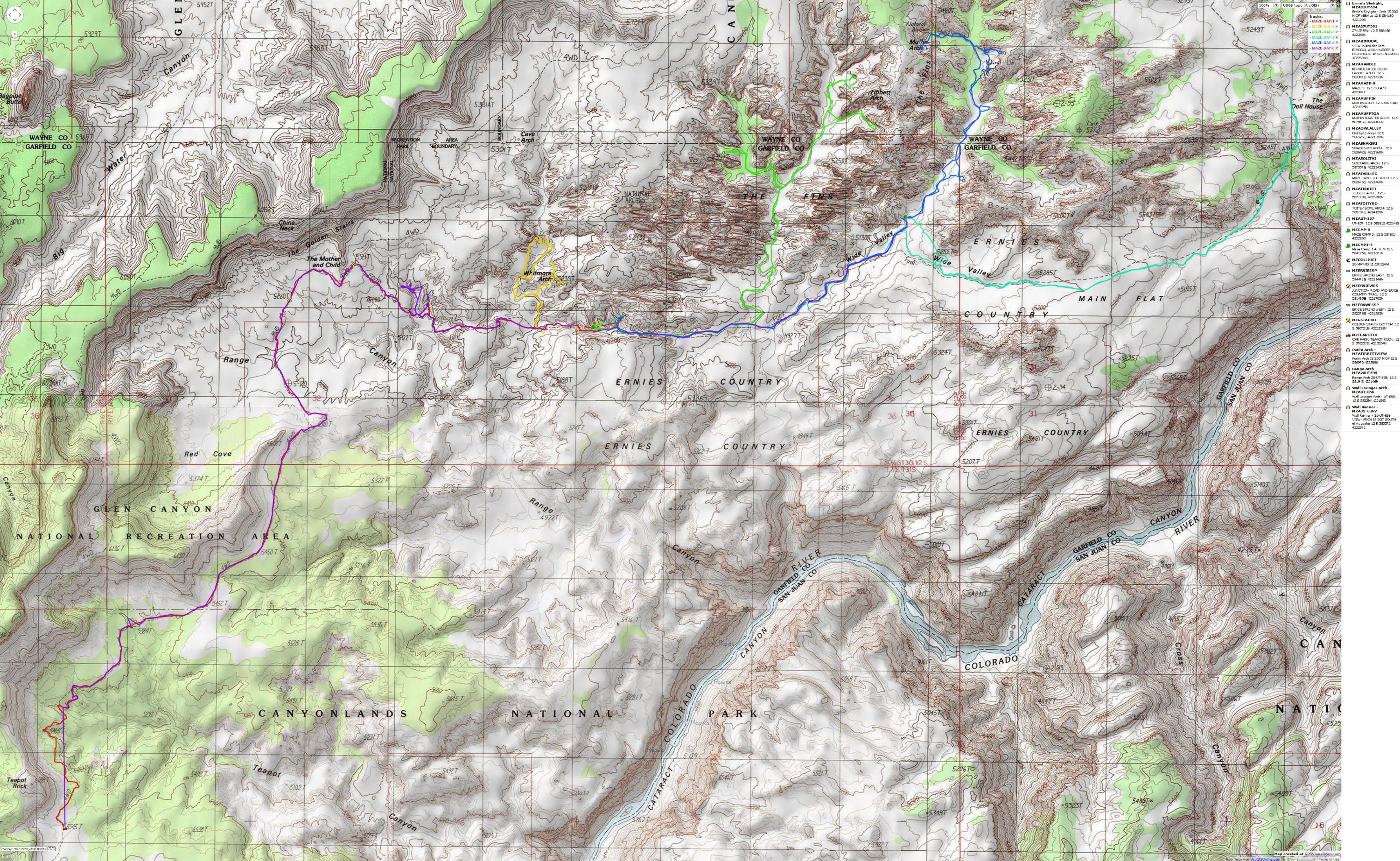
Arches found during this adventure include:
(Refer to the map in this report.)
Whitmore Shown accurately on all maps.
Wall Lounger Arch, UT-856: (up canyon from
Whitmore)
This wall arch is in the main canyon, up canyon from
Refrigerator Door Handle Arch (up canyon from Whitmore). Look to the right side of the
drainage (going up canyon). You will be about 0.75 miles from where the Ernie Country route
crosses the wash leading to Whitmore Arch. The arch is about 20' above the canyon floor
at: UTM 12 S 583294E; 4221543N; WGS84.
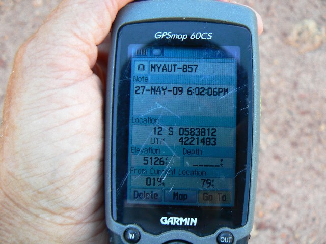
UT-857: (near Whitmore Arch)
After visiting Whitmore Arch, walk South along
the edge of the wall from Whitmore, staying generally at the same level as Whitmore Arch.
The arch is in the top part of the same layer as Whitmore, in a narrow side drainage. The
distance from Whitmore is estimated to be about a thousand feet, via the route (not straight
line). Keep your bearing by using the estimated UTM coordinates of:
12 S 583812E; 4221483N; WGS84.
Table Leg Arch: (near Whitmore)
When returning to the canyon floor from visiting
Whitmore Arch, look in the ground level overhangs to your left for Table Leg Arch.
Coordinates are: UTM 12 S 583676E; 4221460N; WGS84.
Refrigerator Door Handle Arch: (up canyon
from Whitmore)
Once back on the main canyon floor after visiting
Whitmore Arch, proceed up canyon, scanning to your right (going up canyon) about 40' above
the canyon floor for this arch, which has two openings looking like its namesake. You will
be about 0.5 miles from where the Ernie Country route crosses the wash leading to Whitmore
Arch. The arch is at: UTM 12 S 583341E; 4221413N; WGS84.
Snakeskin Arch: (up canyon from Whitmore)
This slithering arch is in the main canyon, up
canyon from Wall Lounger Arch, UT-856 Arch (up canyon from Whitmore). Look to the right
side of the drainage (going up canyon). You will be a little more than one mile from where
the Ernie Country route crosses the wash leading to Whitmore Arch. The arch is about 50'
above the canyon floor at:
UTM 12 S 583642E; 4221968N; WGS84.
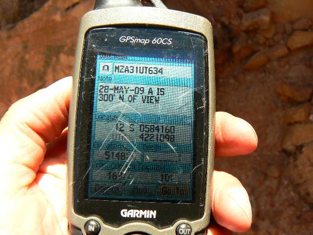
31-UT-634, Ernie's Skylight: (W of Ernie
Spring East)
This arch is not possible to see from the route
between the Mother and Child feature and the Doll House, that is, the Ernie Country route.
Hike East from the canyon containing Whitmore Arch, which is the Eastern fork of Range
Canyon. After about 0.6 mile of hiking East from the canyon containing Whitmore, you will
see a side track leading to East Ernie spring. To locate Ernie's Skylight, backtrack about
800', to the second narrow canyon to the North of the Ernie Country route. Climb up into
this canyon to get a view of Ernie's Skylight. The arch is about 300' North of, and in the
lip of Cedar Mesa SS from the viewpoint, which is at approximately:
UTM 12 S 584160E; 4221098N: WGS84. You will probably want to use your GPS to locate this arch.
Tibbett Arch:
From where the Ernie Country route crosses the wash,
hike up canyon for about 2.8 miles. Note that at about 1.5 miles up the canyon, take the
right fork (the left fork leads to Wall Runner, 31-UT-636). You will see an open canyon
area on your right (East). You will also see the sweeping grace of Tibbett Arch at
UTM 12 S 587173E; 4223650N; WGS84. If you go farther in for a photo of Tibbett Arch,
beware and use existing paths or drainages to avoid trampling the cryptobiotic soils.
While there, look to the North for Purlin Arch.
Owl Eyes Alley:
Hike the Ernie Country route between the Mother
and Child feature and the Doll House to about 0.6 miles East of where it crossed the canyon
containing Tibbett Arch, or a bit over a mile West of where it crosses Sweet Alice Canyon,
the canyon containing Muffin Arch. You will encounter Owl Eyes Alley in a narrow section
of the route near UTM 12 S 586525E; 4221320N; WGS84.
Purlin Arch: (near Tibbett Arch)
From where the Ernie Country route crosses the wash
containing Tibbett Arch, hike up canyon for about 2.8 miles. Note that at about 1.5 miles
up the canyon, take the right fork (the left fork leads to Wall Runner, 31-UT-636). You
will see an open canyon area on your right (East). You will also see the sweeping grace of
Tibbett Arch. Look high in the North wall of this opening for Purlin Arch, which is a
direct line connecting Tibbett, the solitary pillar in the opening, and Purlin. The
viewpoint for Purlin is at UTM 12 S 586970E; 4223886N; WGS84, and Purlin is about 200' North
of this viewpoint.
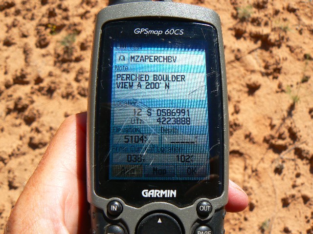
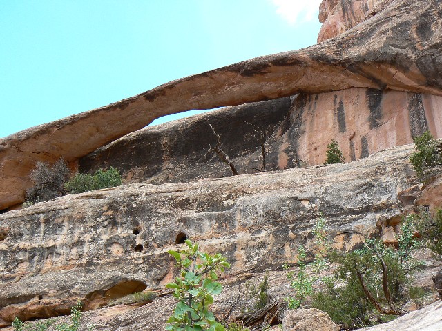
Solitaire Arch: (S of Tibbett, next opening,
E side of canyon) - same as Perched Boulder, I prefer name of Solitaire - more appropriate
when you look at the arch. Tom - these (Solitaire and Perched Boulder) are the same arch,
giving me lifetime web access credits for two arches.
This high pothole arch is in the same canyon system
as Tibbett Arch. From where the Ernie Country route crosses the wash, hike up canyon for
about 2.5 miles. At about 1.5 miles up the canyon, take the right fork (the left fork leads
to Wall Runner, 31-UT-636). You will see an open canyon area on your right (East). Check
your GPS, then walk into this open area for about 0.4 miles, looking for the distinctive
ring-shaped stain of desert varnish on the white Cedar Mesa SS. The gem part of this
solitaire ring is also a guide. Watch out, use the drainage to avoid crushing the prevalent
cryptobiotic crust. Approximate coordinates for this arch are:
UTM 12 S 587357E; 4223243N; WGS84.
You will see how come this arch is sometimes called
Perched Boulder Arch. I prefer the name Solitaire.
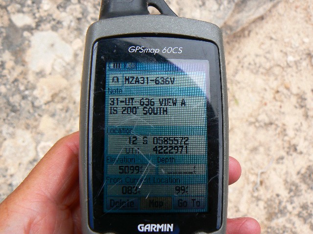
31-UT-636, Wall Runner Arch: -- probably the
same as Maze 2?
This arch is in the same canyon system as Tibbett
Arch. From where the Ernie Country route crosses the wash, hike up canyon for about 1.5
miles to where the canyon forks. Take the left fork (the right fork leads to Tibbetts and
Solitaire). Continue up this side canyon for about 0.75 miles, gazing at the left wall
(looking up canyon) for Wall Runner Arch. Again, watch out for cryptobiotic soil as you
use your GPS as a general guide to UTM 12 S 585473E; 4223049 N; WGS84.
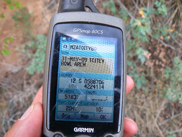
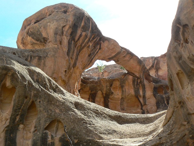
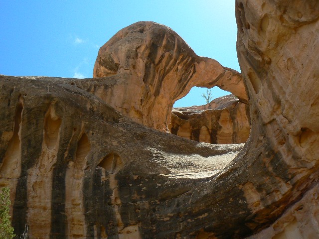
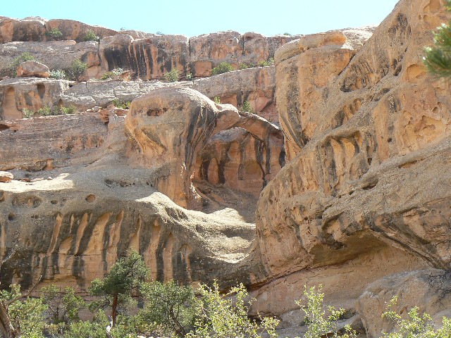
Toitey Bowl Arch, Maze 8: (coordinates
incorrect in WAD)
Hike the Ernie Country route between the Mother
and Child feature and the Doll House to where it crosses Sweet Alice Canyon, the canyon
containing Muffin Arch (note that Muffin Arch is incorrectly marked on many maps, but all
place it somewhere in Sweet Alice Canyon). Hike up Sweet Alice for about 2 miles. You will
see 27-UT-591 on the South-facing side of a wall. Hike East from the viewpoint for 27-UT-591,
which is about UTM 12 S 588479E; 4224121N; WGS84 to the East for about 0.3 miles to Toitey
Bowl Arch. The arch is at approximately UTM 12 S 588707E; 4224120N; WGS84.
Maze 9: (this arch needs a suitable name)
Hike the Ernie Country route between the Mother and
Child feature and the Doll House to where it crosses Sweet Alice Canyon, the canyon
containing Muffin Arch (note that Muffin Arch is incorrectly marked on many maps, but all
place it somewhere in Sweet Alice Canyon). Hike up Sweet Alice for a little over 1.5 miles.
You will see the Maze 9 arch about half way up the wall, and to the East at approximately
UTM 12 S 588473E; 4223877N; WGS84.
27-UT-591: (coordinates incorrect on map,
beware)
Shown in incorrect location, yet according to WAD,
on the WV on-line map.
Hike the Ernie Country route between the Mother and
Child feature and the Doll House to where it crosses Sweet Alice Canyon, the canyon
containing Muffin Arch (note that Muffin Arch is incorrectly marked on many maps, but all
place it somewhere in Sweet Alice Canyon). Hike up Sweet Alice for about 2 miles. You will
see 27-UT-591 on the South-facing side of a wall, and on the East side of the main wash.
The viewpoint for 27-UT-591 is about UTM 12 S 588479E; 4224121N; WGS84.
Muffin Arch:
Hike the Ernie Country route between the Mother and
Child feature and the Doll House to where it crosses Sweet Alice Canyon, the canyon
containing Muffin Arch (note that Muffin Arch is incorrectly marked on many maps, but all
place it somewhere in Sweet Alice Canyon). Hike up Sweet Alice for about 2+ miles. You
will see 27-UT-591 on the South-facing side of a wall. Hike up canyon a few hundred feet
from 27-UT-591, then turn left, West, and hike the winding small drainage to avoid the
cryptobiotic soils. Hike about 0.5 miles from the main wash, and begin scanning to the SW
for Muffin Arch, which is at UTM 12 S 587764E; 4224225N; WGS84.
Muffin Toaster Arch: (near Muffin Arch)
Follow the directions for Muffin Arch. As you skirt
below the arch, looking for a way up to the bench below the arch, you may pass Muffin
Toaster Arch at UTM 12 S 587816E; 4224166N; WGS84.
Bimodal Wall Hugger: (see from same waypoint
as is High Holer Arch)
Hike the Ernie Country route between the Mother and
Child feature and the Doll House to where it crosses Sweet Alice Canyon, the canyon
containing Muffin Arch (note that Muffin Arch is incorrectly marked on many maps, but all
place it somewhere in Sweet Alice Canyon). Hike up Sweet Alice for about 0.6 miles. You
will see Bimodal Wall Hugger Arch (to the SE) and High Holer Arch (to the East) in the
opening to your right, East, high in the canyon walls. A good viewpoint to see both arches
is at UTM 12 S 588266E; 4222691N; WGS84.
High Holer Arch:
Hike the Ernie Country route between the Mother and
Child feature and the Doll House to where it crosses Sweet Alice Canyon, the canyon
containing Muffin Arch (note that Muffin Arch is incorrectly marked on many maps, but all
place it somewhere in Sweet Alice Canyon). Hike up Sweet Alice for about 0.6 miles. You
will see Bimodal Wall Hugger Arch (to the SE) and High Holer Arch (to the East) in the
opening to your right, East, high in the canyon walls. A good viewpoint to see both arches
is at UTM 12 S 588266E; 4222691N; WGS84.
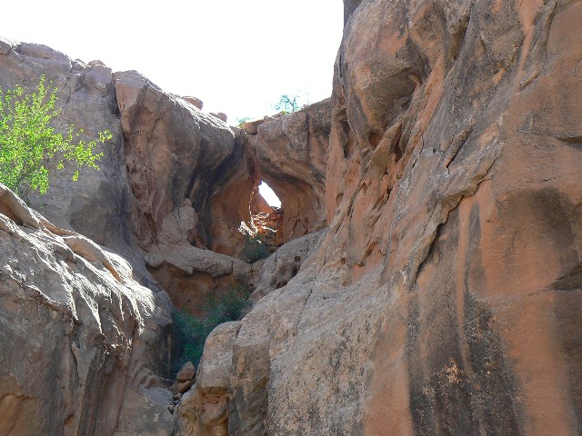
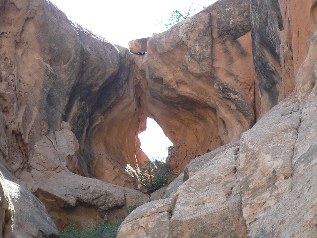
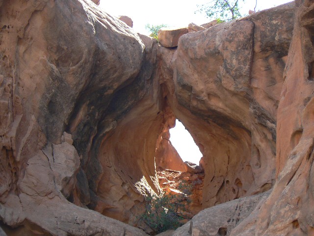
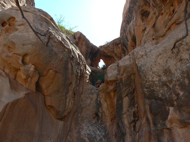
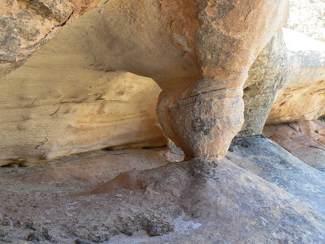
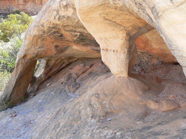
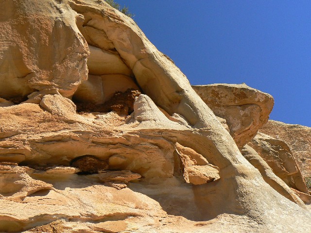
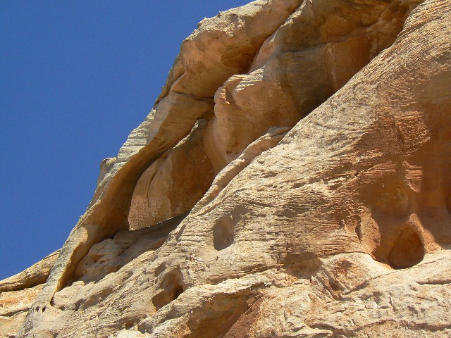
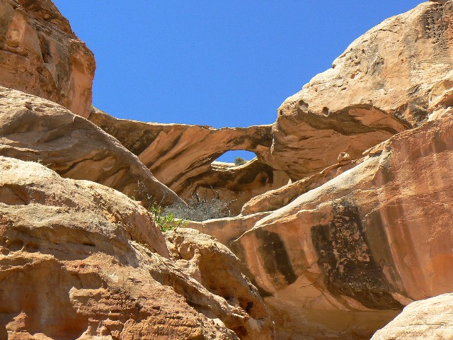
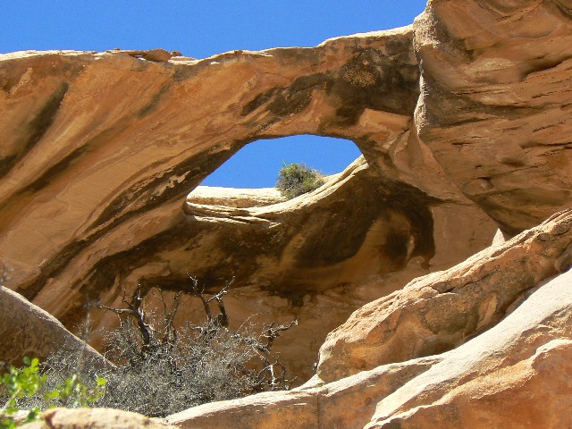
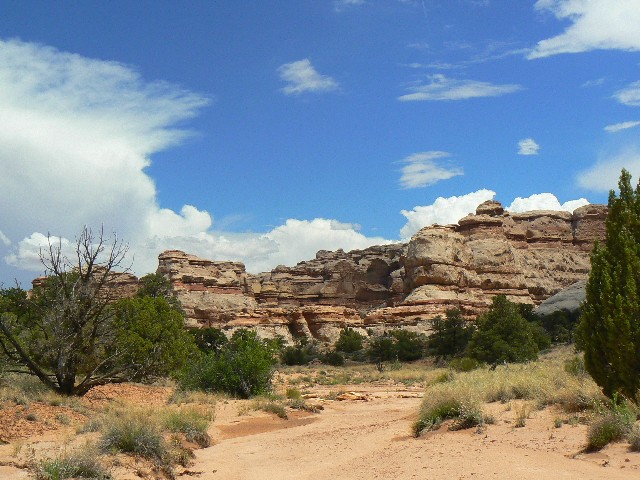
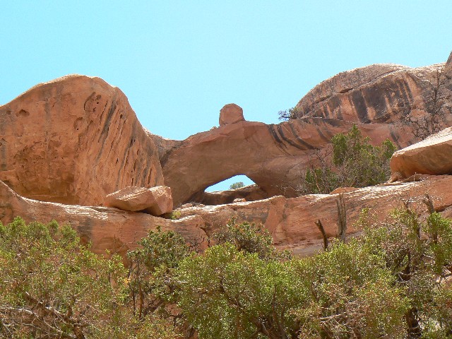
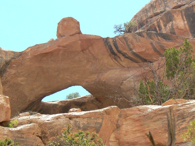
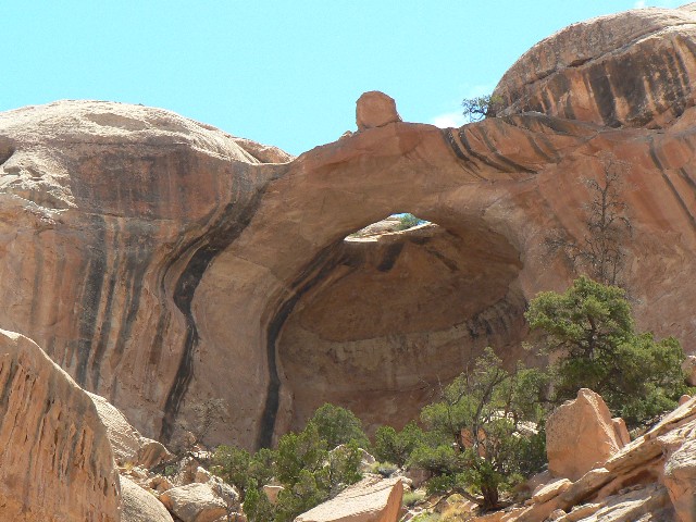
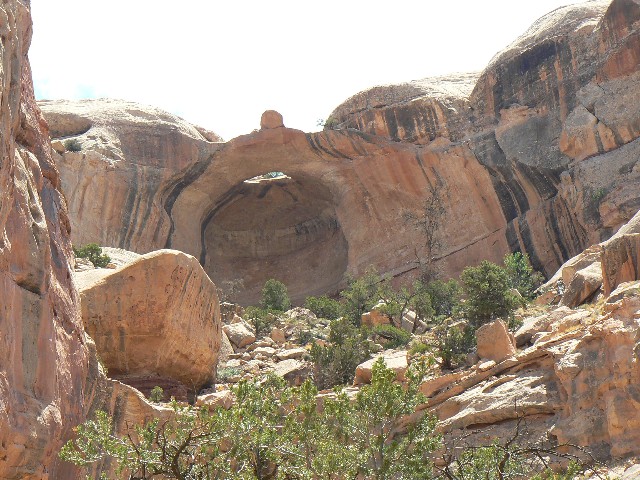
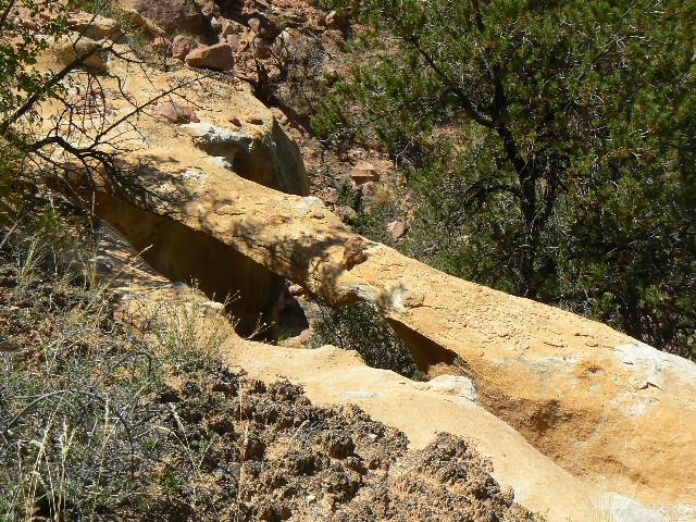
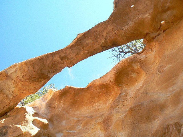
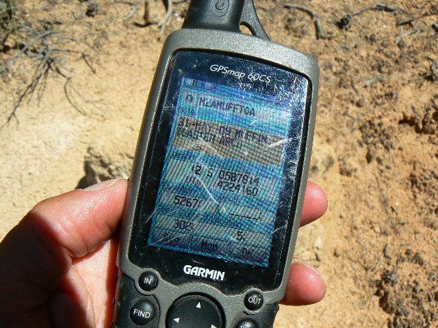
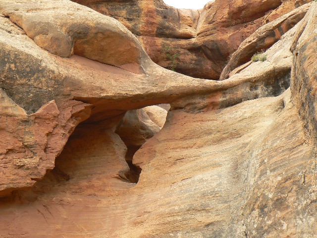
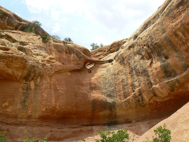
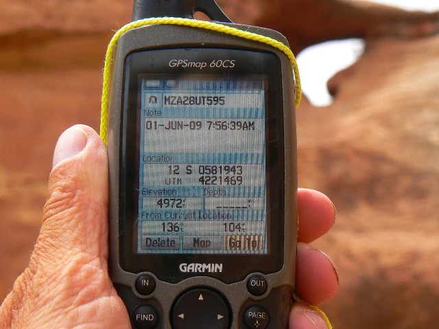
28-UT-595: - Range Arch
From the trailhead for the route into Ernies
Country/Fins from the Doll House 4x4 road at UTM 12 S 581435E; 4221702N (which is near the
Mother and Child feature), hike down into South Fork Range Canyon. When reaching the canyon
floor, turn up canyon and hike to its end. Estimated coordinates of
28-UT-595, which appears to be a NB, are:12 S 581943E; 4221469N; WGS84.
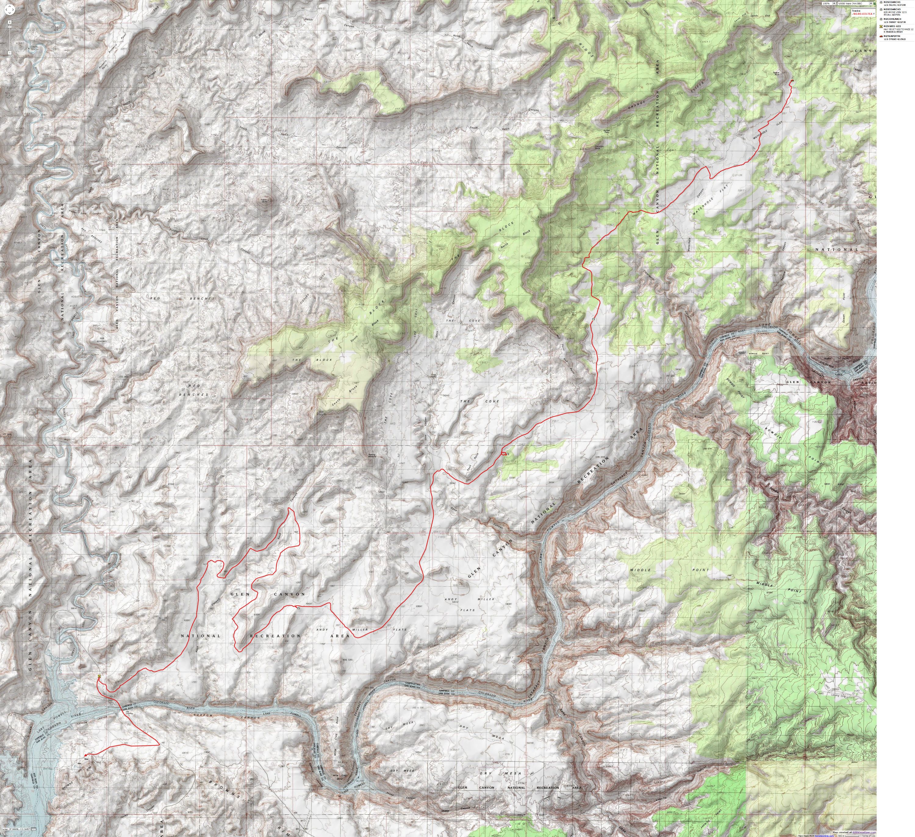
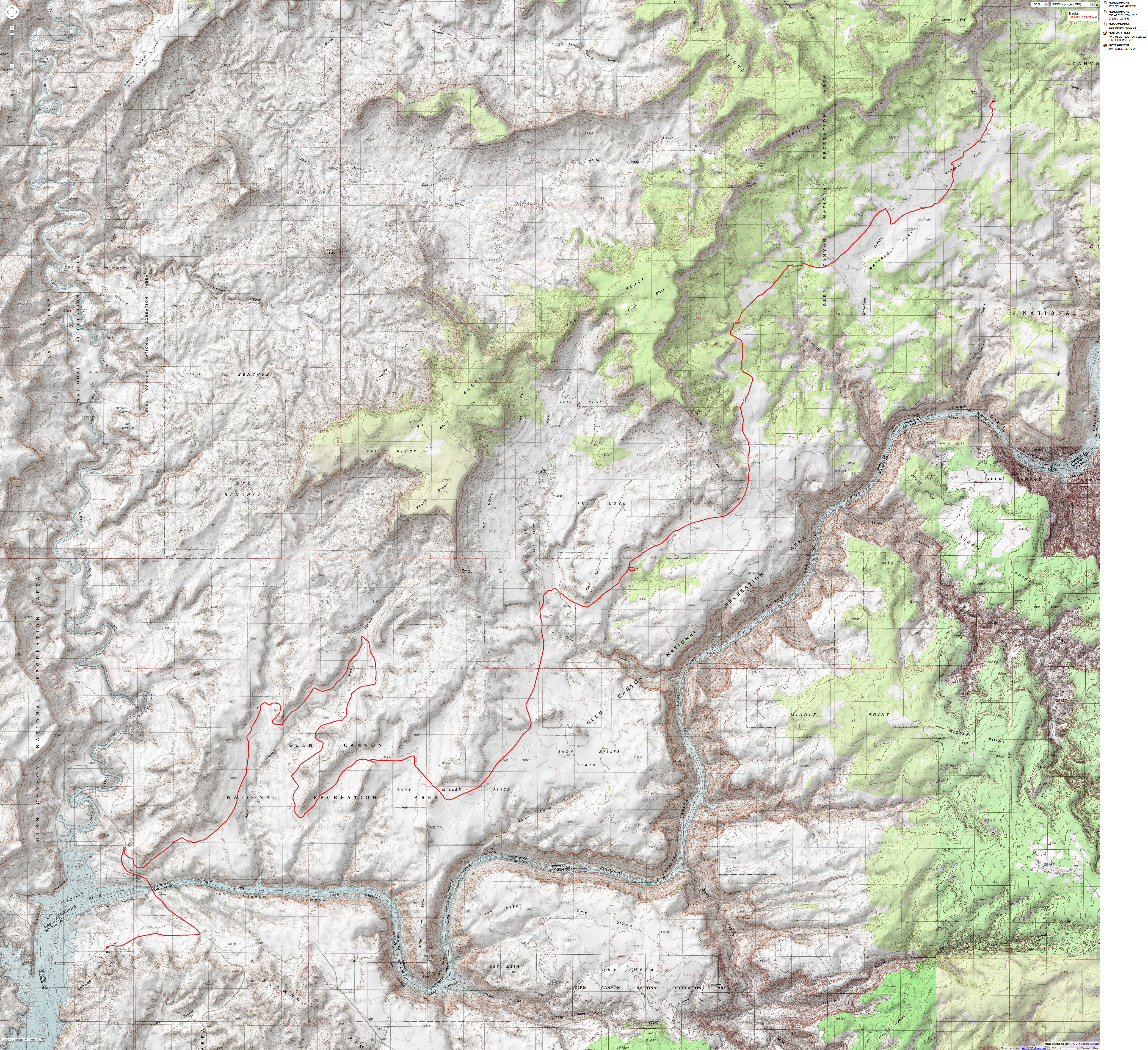
Arches on Rd 633, from near Hite to The Maze:
Go to this separate report for photos of Rd 633 arches.
Starting at MP 46.4 on Hwy 95, at the top of the hill
climbing out above the bridge over the Colorado River and headed for the Dirty Devil
Bridge (if you reach the Dirty Devil Bridge, turn around -you have gone too far), drive
North onto Road 633, which travels to the Orange Cliffs area of The Maze District of
Canyonlands NP. MP 0 for Hwy. 95 is at Hanksville, Utah.
Set your odometer to zero (0) when you leave Hwy 95. See the
map above.
Maze 633 Arch 1 is on your right at 13.6 miles from Hwy 95.
GPS coordinates are roughly:
UTM 12 S 561441E; 4197395N; WGS84
Maze 633 Arch 2 can be seen from the car park for Arch 1, and
is another mile and a half up the road.
Cove Arch is on your right at 21.4 miles from Hwy 95. Pull
off on the slickrock on your right, and look just below your level and about 600 feet to
the East for Cove Arch. GPS coordinates for Cove are roughly:
UTM 12 S 568607E; 4202738N; WGS84
Maze 633 Arch 3 is on your left at 25.5 miles from Hwy 95.
GPS coordinates for the carpark to view this arch are roughly:
UTM 12 S 571511E; 4207391N; WGS84
Links:

Maps:


|
|---|
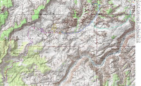
Map -UT: Canyonlands - Maze; 2009; 64 miles
(Click the image to see the map)
|
|---|
|
for a full-resolution map, click here. Caution - do not use this map or gps track for
navigating the route.
|
|---|
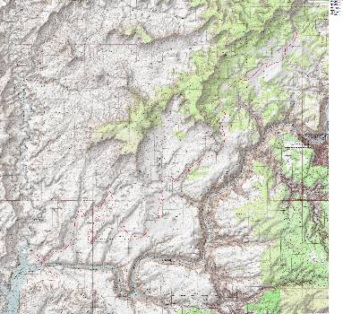
Map - UT: Canyonlands - Maze; 2009; Hite to Teapot - driving
(Click the image to see the map)
|
|---|
|
for a full-resolution map, click here. Caution - do not use this map or gps track for
navigating the route.
Movie:
Click here to: see a video of Muffin Arch. (26mb)
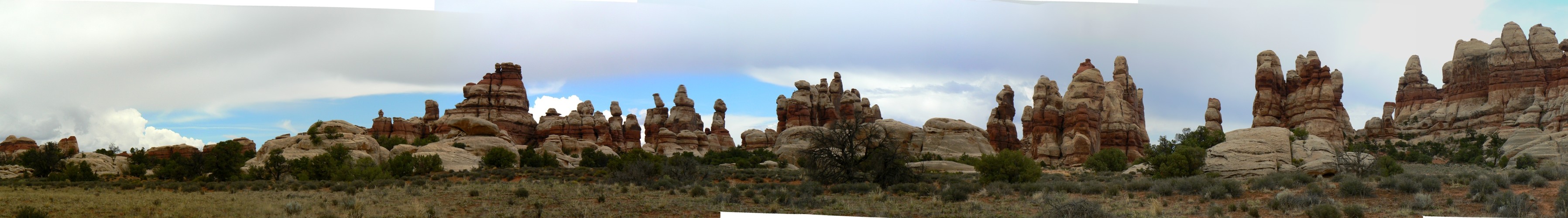
Panos:
Click here to: see a Pano - LaSal Mountains to Abajo Mountains
Pano - View from West Ernie Spring, Camp 1
Pano - Sweet Alice at Sunset
Pano - Doll House
Pano - The Fins
Previous WV Reports about The Maze:
Chocolates for Easter, 1998
Water-Ooooh in THE Maze, 2000
Snowfest attempt in THE Maze, 2009
Related Sites:
We Are Breeding Ourselves to Extinction (click here for full article)
All measures to thwart the degradation and destruction of our ecosystem will be useless
if we do not cut population growth. By 2050, if we continue to reproduce at the current
rate, the planet will have between 8 billion and 10 billion people, according to a recent
U.N. forecast. This is a 50 percent increase. And yet government-commissioned reviews,
such as the Stern report in Britain, do not mention the word population. Books and
documentaries that deal with the climate crisis, including Al Gore’s “An Inconvenient
Truth,” fail to discuss the danger of population growth. This omission is odd, given
that a doubling in population, even if we cut back on the use of fossil fuels, shut
down all our coal-burning power plants and build seas of wind turbines, will plunge
us into an age of extinction and desolation unseen since the end of the Mesozoic era,
65 million years ago, when the dinosaurs disappeared.
We are experiencing an accelerated obliteration of the planet’s life-forms—an estimated
8,760 species die off per year—because, simply put, there are too many people. Most of
these extinctions are the direct result of the expanding need for energy, housing, food
and other resources. The Yangtze River dolphin, Atlantic gray whale, West African black
rhino, Merriam’s elk, California grizzly bear, silver trout, blue pike and dusky seaside
sparrow are all victims of human overpopulation. Population growth, as E.O. Wilson says,
is “the monster on the land.” Species are vanishing at a rate of a hundred to a thousand
times faster than they did before the arrival of humans. If the current rate of extinction
continues, Homo sapiens will be one of the few life-forms left on the planet, its members
scrambling violently among themselves for water, food, fossil fuels and perhaps air until
they too disappear. Humanity, Wilson says, is leaving the Cenozoic, the age of mammals, and
entering the Eremozoic—the era of solitude. As long as the Earth is viewed as the personal
property of the human race, a belief embraced by everyone from born-again Christians to
Marxists to free-market economists, we are destined to soon inhabit a biological wasteland.
| 


