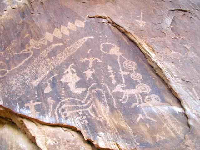
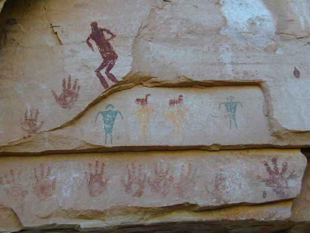
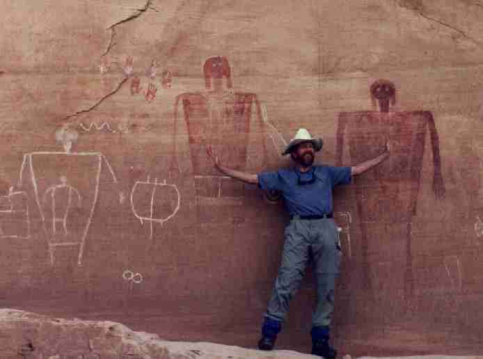
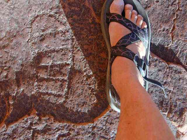
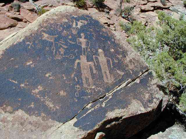
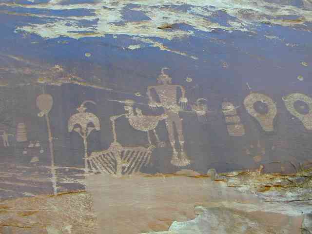
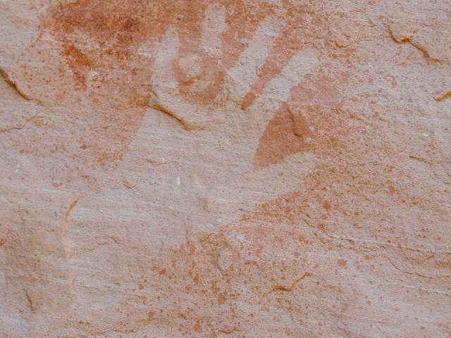
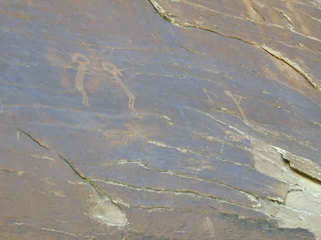
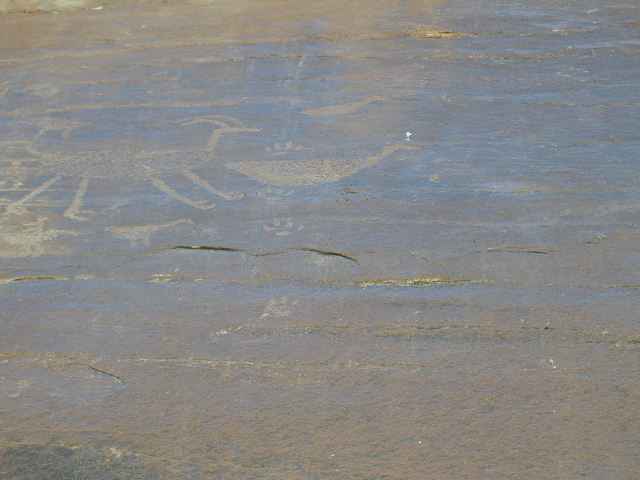
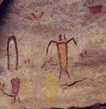
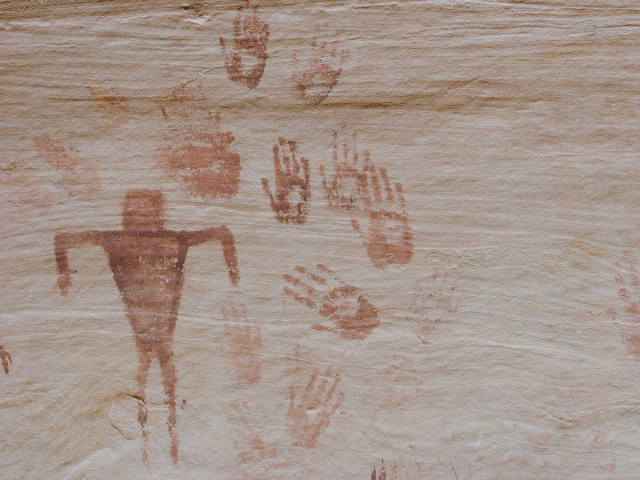
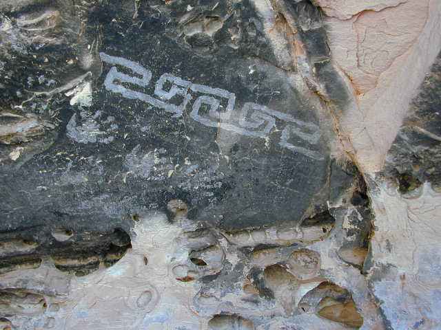
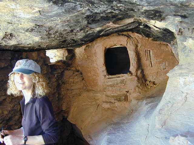
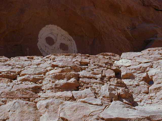
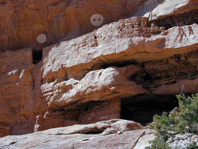
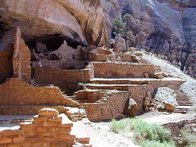
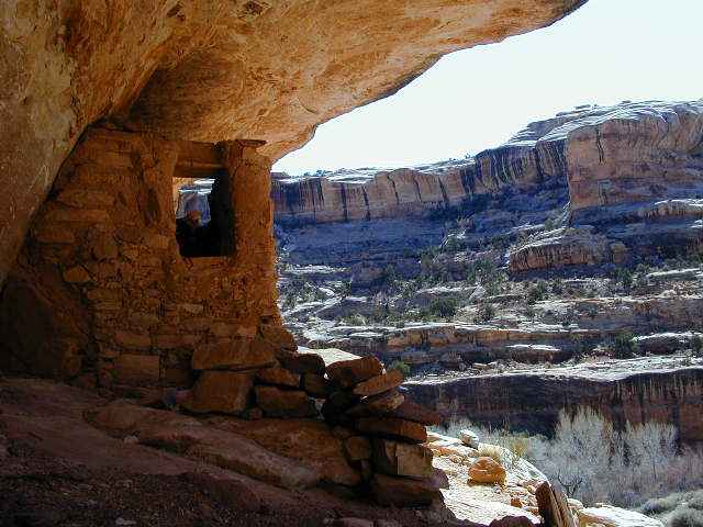
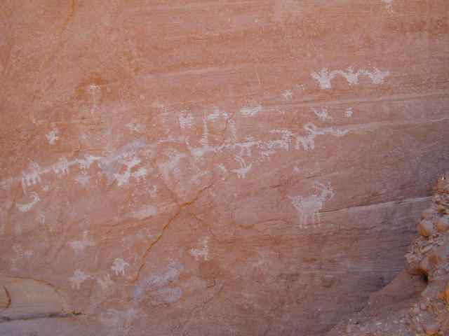
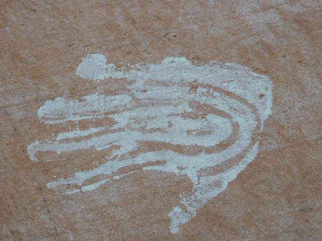
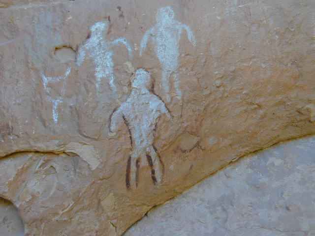
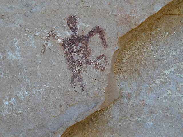
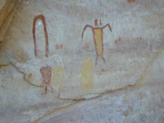
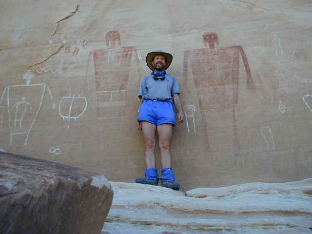
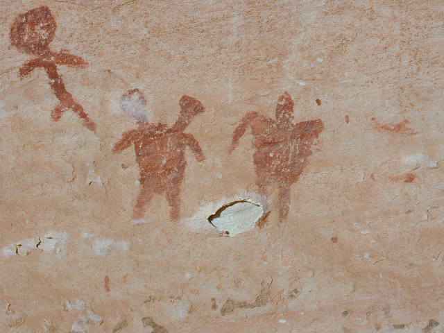
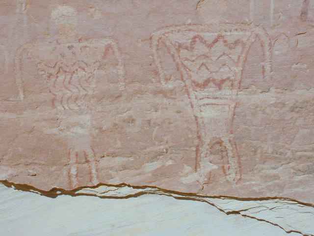
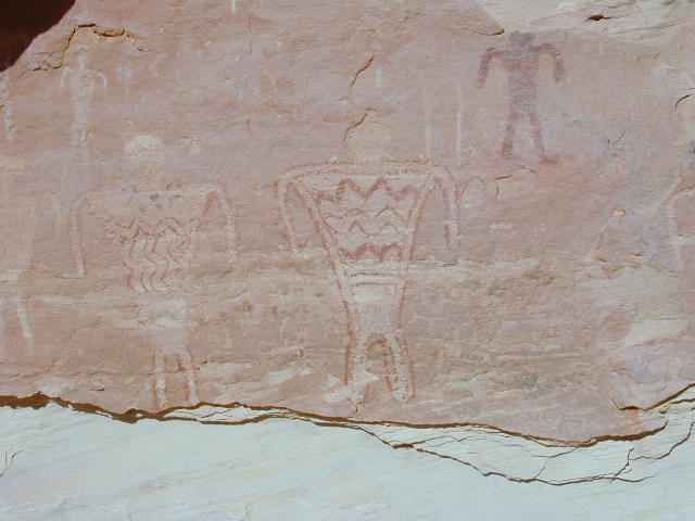
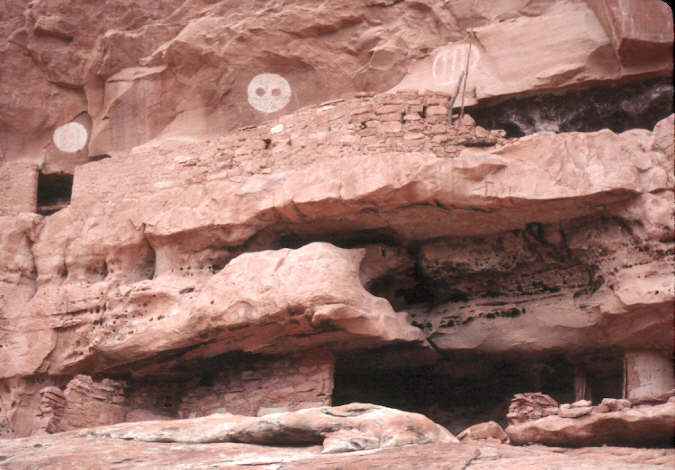
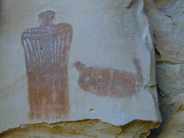
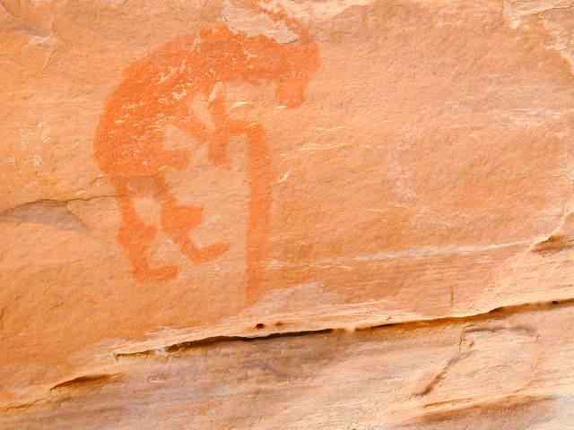
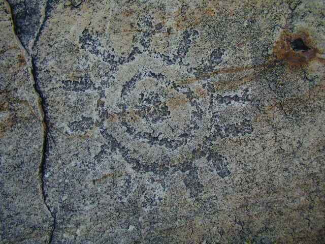
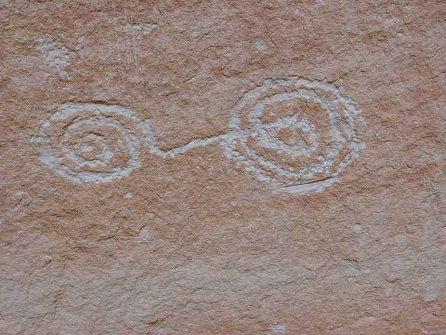
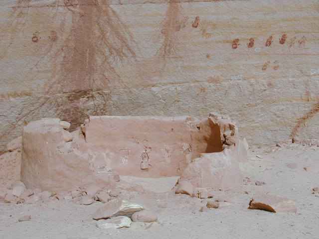
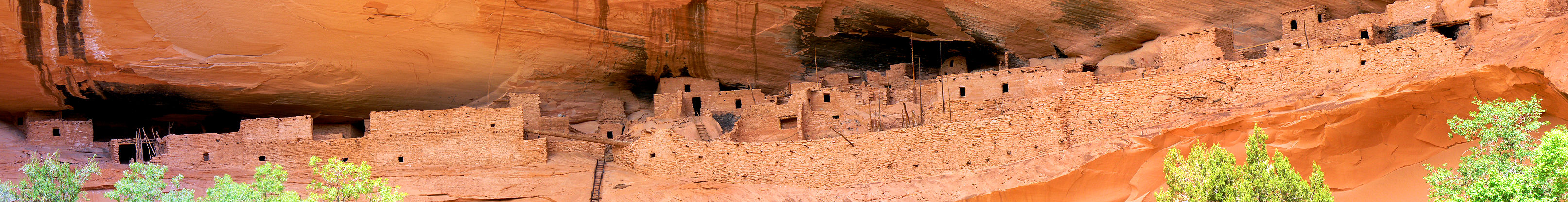
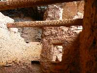
Here (below) are some images of what is in the dark
center portion of the above pano. Lovely T-shaped doorways to what may have been a
ceremonial kiva.
|
|---|
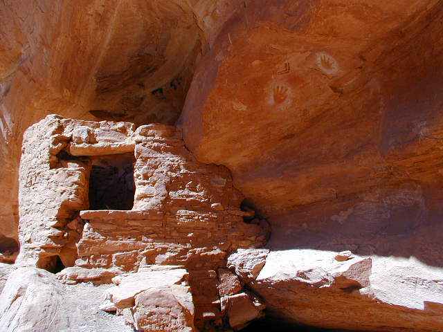
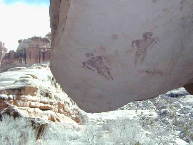
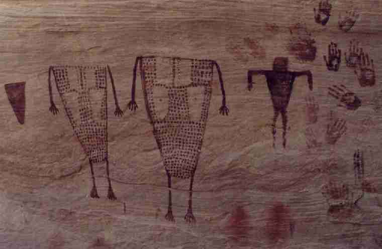
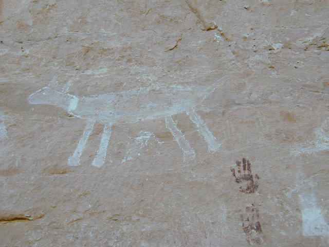
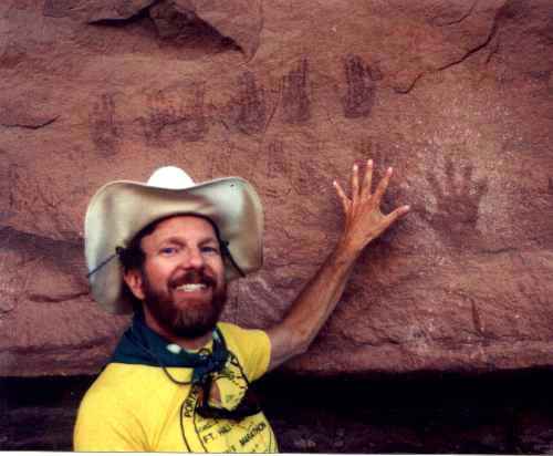
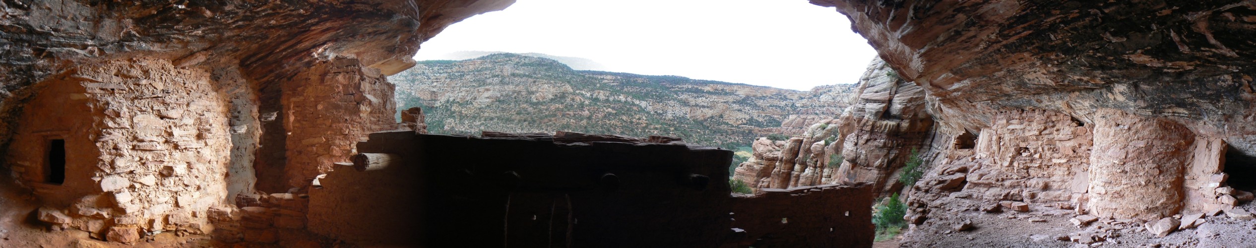
A look inside
(Click the image)
|
|---|
|
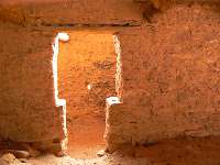
|
|---|
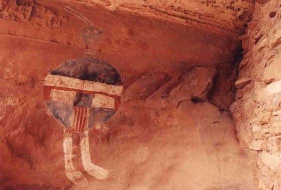
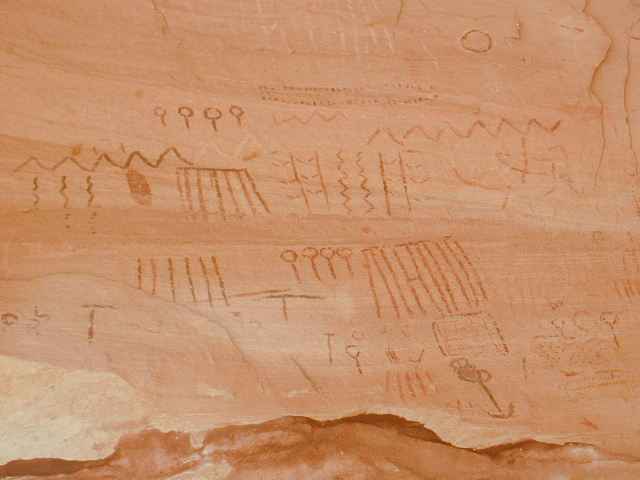
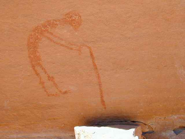
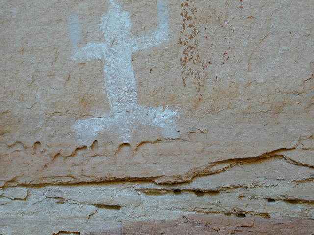
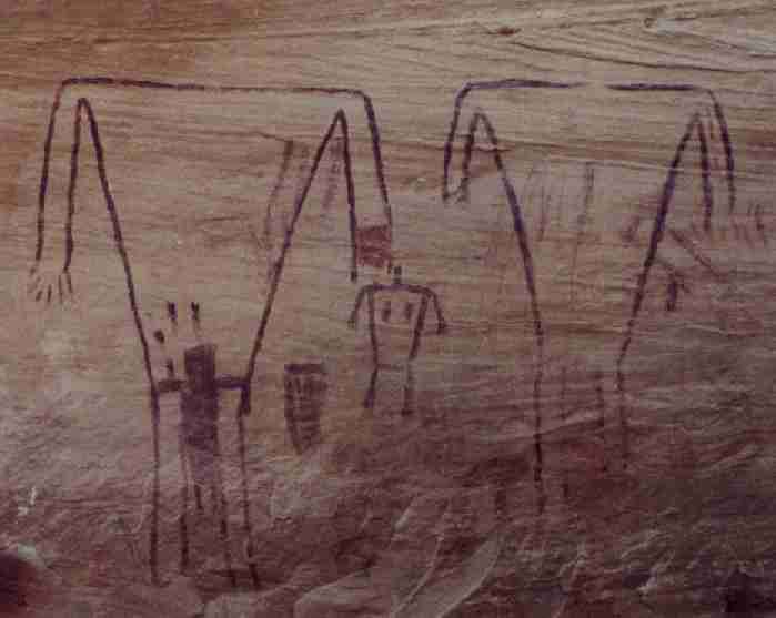
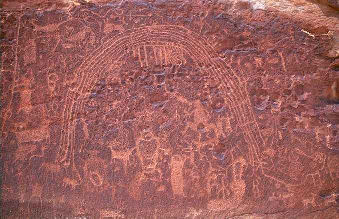
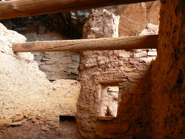
T-door glowing
(Click the image for a full-size view)
|
|---|
|
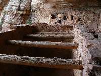
|
|---|
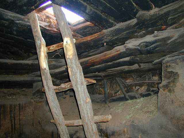
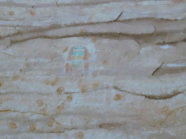
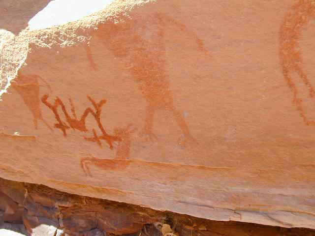
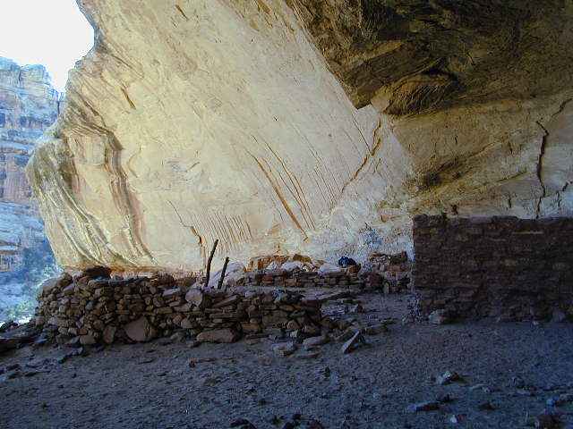
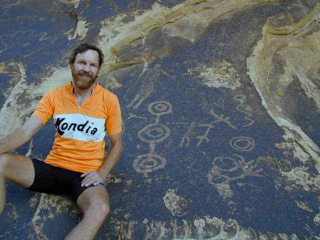
View along the wall
(Click the image for a full-size view)
|
|---|
|
The Rise and Fall of the Anasazi:
Why Should We Care What Happened to Them?
taken from: "The Summoning God" by Kathleen O'Neal Gear and W. Michael Gear, 2000, New York: Forge Books
Text below © copyright 2000 by Kathleen O'Neal Gear and W. Michael Gear
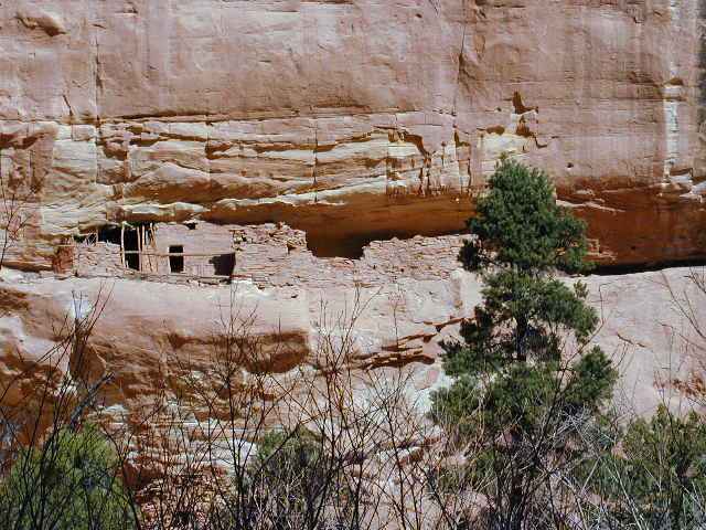
During the eleventh century, a high desert valley in northwestern New Mexico named Chaco Canyon became the cultural center for a people we call the Anasazi, or Ancestral Puebloans. Their culture encompassed over 115,000 square miles and included approximately 100,000 people. The Anasazi built five-story buildings with over eight hundred rooms in them; they charted the solstices and equinoxes, the cycles of stars, even the 18.6-year cycle of the moon; they established far-flung trade routes that brought them scarlet macaws and cast copper bells from Mexico, seashells from the Pacific Ocean and Gulf Coast, the buffalo hides from the northern plains; and they engineered a road system that would be unequaled in North America for seven hundred years. But by A.D. 1400, they had all but vanished.
Perhaps the two questions archaeologists are most often asked are: "What happened to the Anasazi?" and "What do they have to teach modern people?" Though both questions are linked, the latter is the more important, because the answer bears directly upon the survival of our own civilization.
Around A.D. 1130 the climate began to change. In Europe it would become known as The Little Ice Age, but the Anasazi knew only that a new drought had begun. Not in their wildest imaginations could they have guessed that the period of deep cold and reduced rainfall would last for more than three hundred years. The count of tree pollen in the archaeological record drops dramatically during this period - meaning they cut down every tree they could find to clear fields for crops, to build their homes, cook their food, fire their pottery, light their kivas, and keep warm during the bitter winters. When the trees ran out and the soil became depleted, they imported many of the basic items of their lives - wood, pottery, food, and animal hides. But, in the end, not even that would save them.
To understand what was happening to the Anasazi, we need to look no further than our own lives. Since the arrival of Europeans in North American we have cut down 90 percent of our forests. Most of the wood we use to build our houses comes from forests hundreds of miles away. We import a great deal of our meat, fruits, and vegetables, often from distances like South America and Hawaii. Much of the oil that fuels our automobiles and heats our homes is shipped from the Middle East. Why? Because we, too, have over-utilized our resources and are now relying upon trade to provide us with many of our most basic needs. But the parallels to our own time do not end there.
In 1900, 80 percent of the people in the United States lived in rural areas. Today, 80 percent live in cities. In the 1200's, as the shortages grew and the climate deteriorated, the Anasazi abandoned their small towns and moved to large pueblos. Let us make this point clearly, before A.D. 1150 there were hundreds of Anasazi settlements, small and large, scattered across the Colorado Plateau. By A.D. 1400, there were three: the Hopi villages in Arizona, and the villages of the Zuni, and Acoma, in New Mexico. The rest of the traditional Anasazi homeland was a vast no-man's-land.
How could such a thriving and sophisticated culture be reduced to a mere handful of survivors? Despite the romantic image that the Puebloan peoples were peaceful farmers, we have abundant archaeological evidence to demonstrate that during the thirteenth century the Anasazi were engaged in brutal annihilation-oriented warfare. Massacres, scalping, slavery, torture, and even cannibalism occurred.
The vicious cycle that led to the rise and fall of their civilization has become clear as a result of excavation of hundreds of their towns: the rise began with a warm wet climatic episode that resulted in a period of affluence and scientific achievement. With the affluence came swift population growth. In the process of feeding their people, they exhausted the soil, cut down the trees, over-hunted the animals. Then the climate changed. When their crops wouldn't grow, they expanded their trade routes. When their trade routes were cut, they turned to warfare to keep them open. When they couldn't keep them open, they took what they needed from their closest neighbors. They must have fought to protect their homes from their victims' wrath, then the fight became a struggle to stay alive.
We leave it up to you to decide where in that cycle our modern civilization stands, but several things are clear: we've over-utilized our resources, the climate is changing, and we've already begun to "fight."
End of quote from "The Summoning God" by
Kathleen O'Neal Gear and W. Michael Gear
Despite what king george says or demonstrates, please show some
restraint - Click here to see
the effects of and what you can do about reckless population growth and consumption.
And, Click here for a link
describing the relationship between population growth, consumption, and the
death of nature.
Other specialty pages on the Wilderness Vagabond site:
Hot Springs Excursions in Idaho, Utah, & California
Flowers, Trees, and Shrubberies
Pleasant Panoply of Panoramas
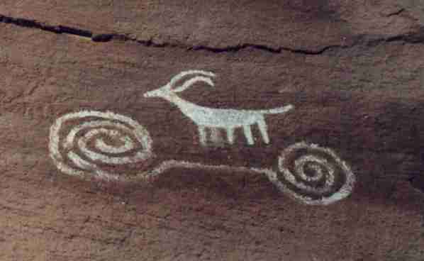
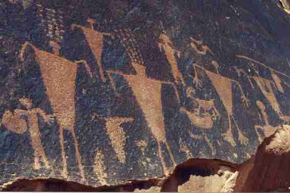
Signs of the times?
And - Click here to see The Archman's, site on Utah and area arches.
|