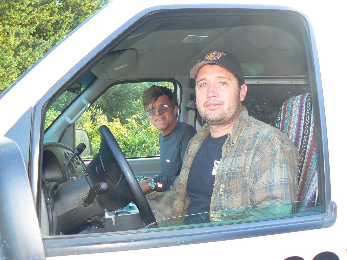
Text and photos © copyright by Rob Jones

With Bob Grant
|
|
| ||||||||
|
|
| ||||||||
|
|
| ||||||||
| ||||
| ||||
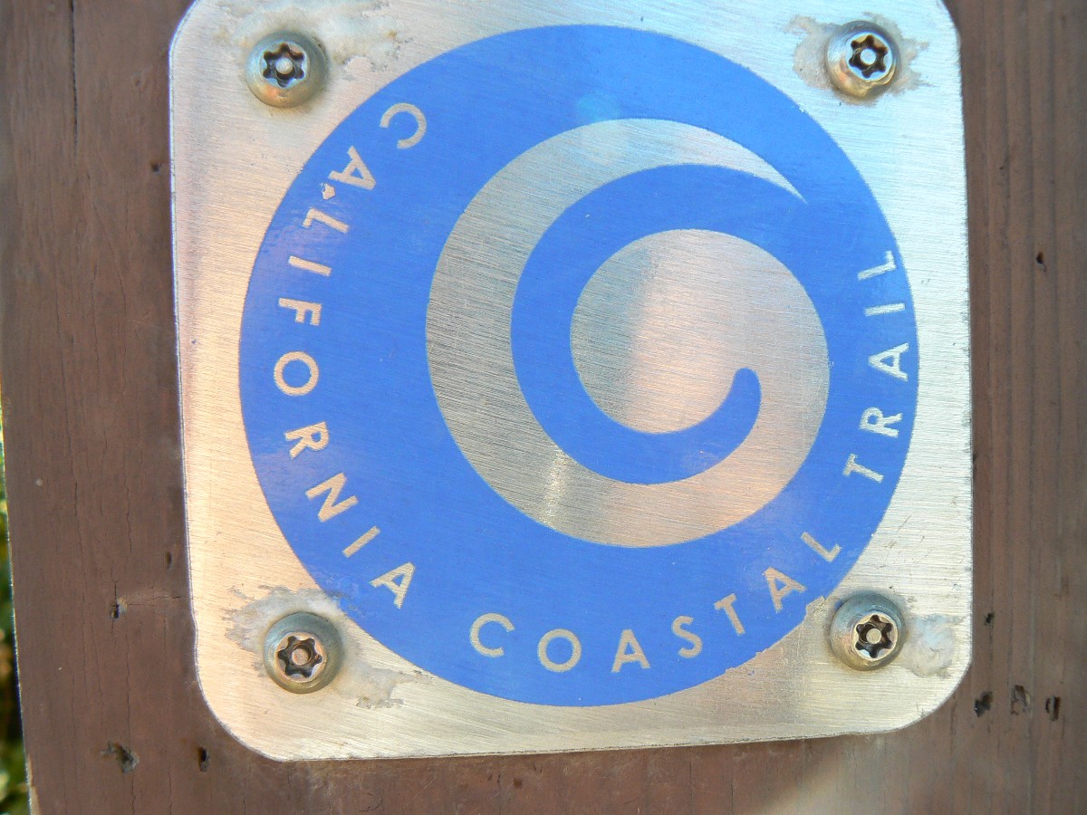
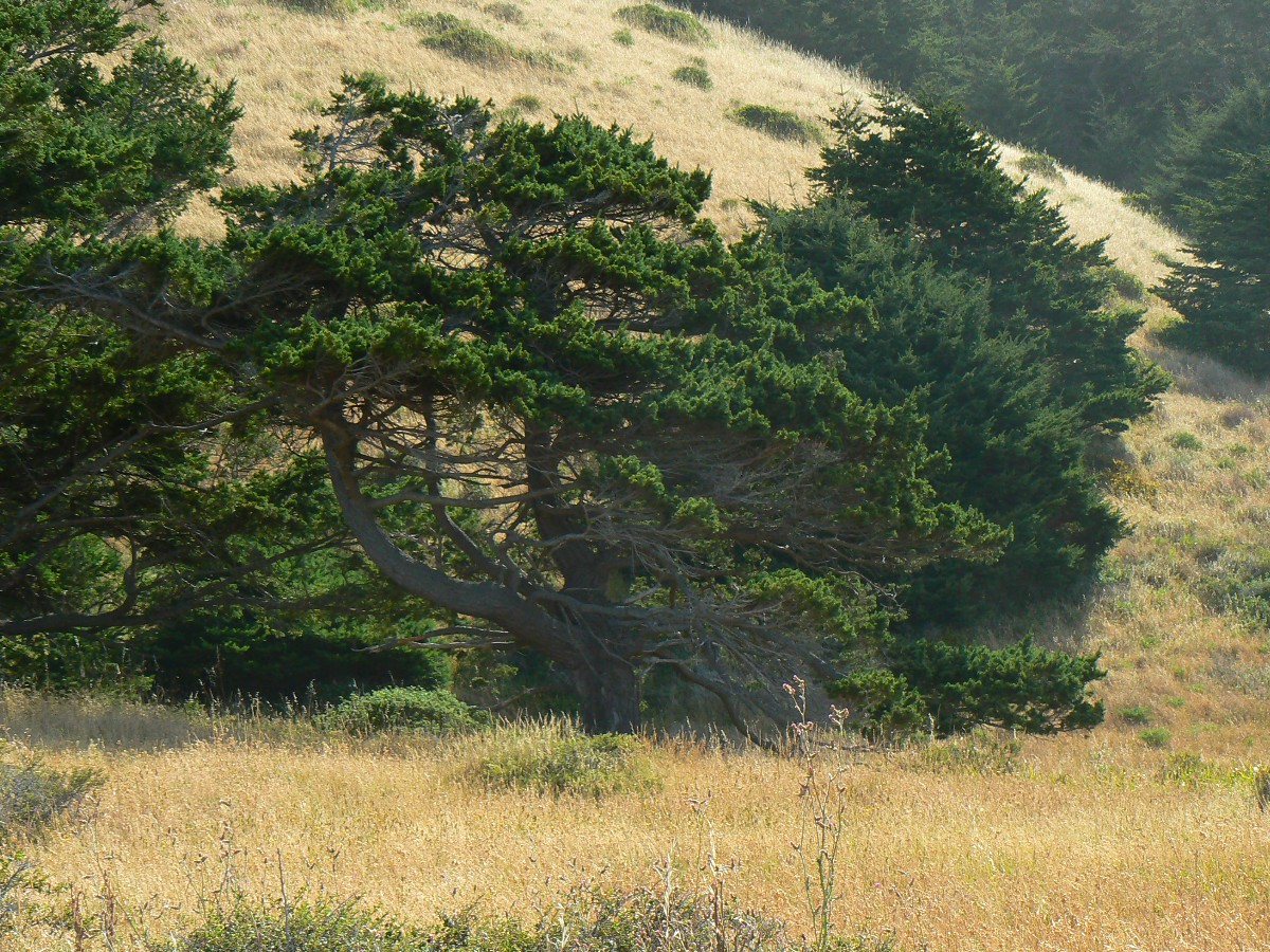
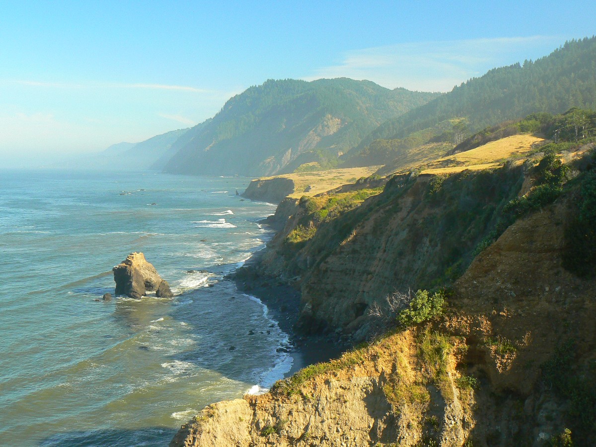
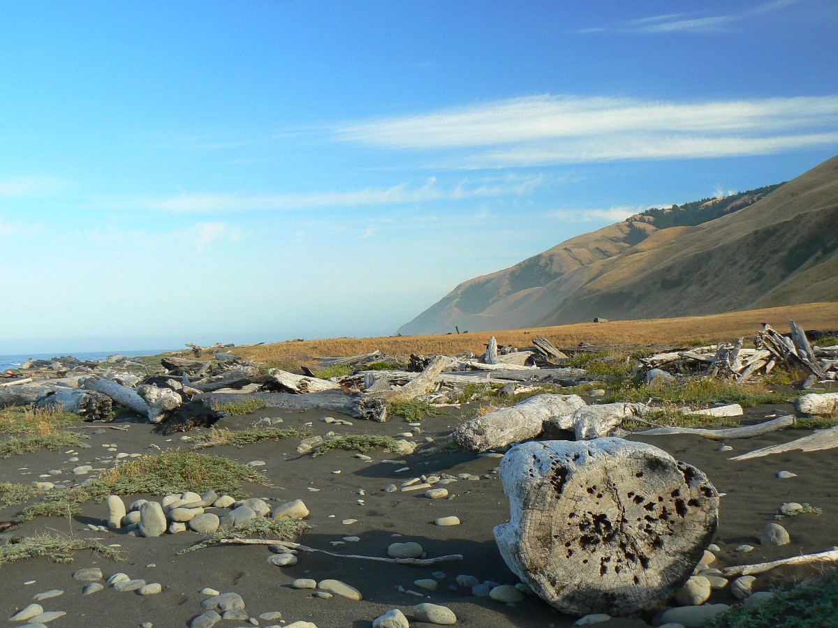
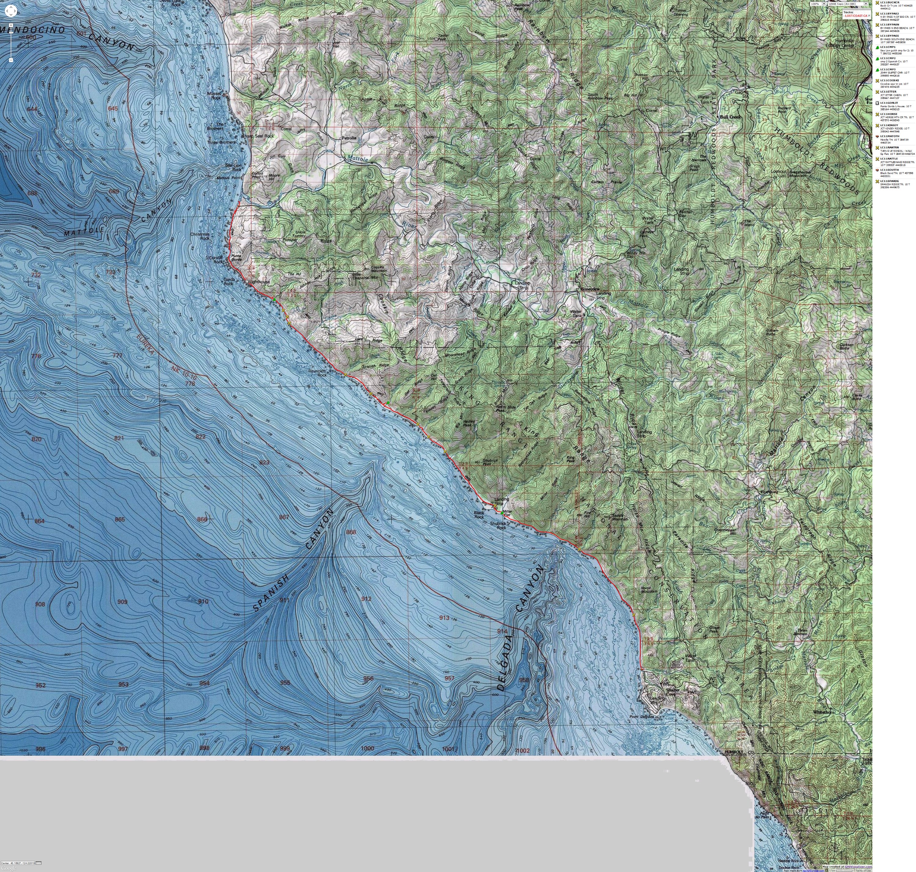
North section: Soliphilia: - Mattole Beach to Black Sand Beach backpack.
Southern section: Sinkyone Sampler: Day hike in the Sinkyone Wilderness State Park - Orchard Camp to Wheeler Beach
loquacious means very talkative or full of trivial conversation. The Pacific Ocean talks incessantly, yet makes more sense than a gaggle of tea baggers talking about their support of class warfare.
Solastalgia describes a palpable sense of dislocation and loss that people feel when they perceive changes to their local environment as harmful. It’s a neologism created by Glenn Albrecht, an environmental philosopher at the University of Newcastle’s School of Environmental and Life Sciences. It's from the Latin salacium (comfort) and the Greek algia (pain).
Soliphilia: “the love of and responsibility for a place, bioregion, planet and the unity of interrelated interests within it.” Soliphilia is associated with positivity, interconnectedness and personal empowerment. If we can make our psychological defense against solastalgia into the positive manifestation of soliphilia, then we can definitely improve the interplay between human beings and their environment for generations to come.
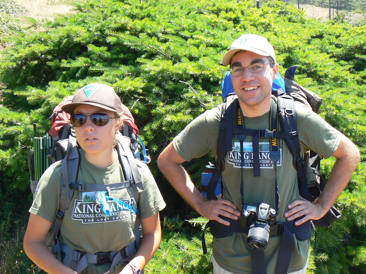
Prelim: I perform a lazy clean-up from the bike tour and then, it's time to go again. I drive to Smog Lake for a quick Bob and Doris visit, then on to Idaho Falls for a couple of days of Mother stuff, then back to Smog Lake, then Bob Grant and I are on the road to California. Our first night is spent at Boca Campground, and we reach the cabin at Lost Coast (LC) Adventure Tours, near Whale Gulch, the next evening. LC Tours will provide not only the solar-powered cabin, but also a shuttle and good information.
"Wilderness is not only a haven for native plants and animals, but it is also a refuge from society. It's a place to go to hear the wind and little else, see the stars and the galaxies, smell the pine trees, feel the cold water, touch the sky and the ground at the same time, listen to coyotes, eat fresh snow, walk across the desert sands, and realize why it's good to go outside of the city and the suburbs.". - John Muir

| ||||
for a full-resolution map, click here. Caution - do not use this map or gps track for navigating the route.
| ||||
![]() Map - Click here to go to the Sinkyone
Wilderness State Park map (pdf).
Map - Click here to go to the Sinkyone
Wilderness State Park map (pdf).
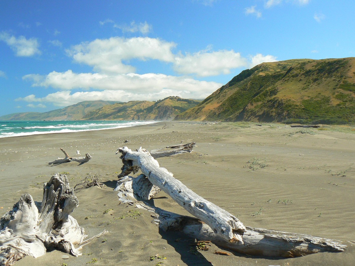
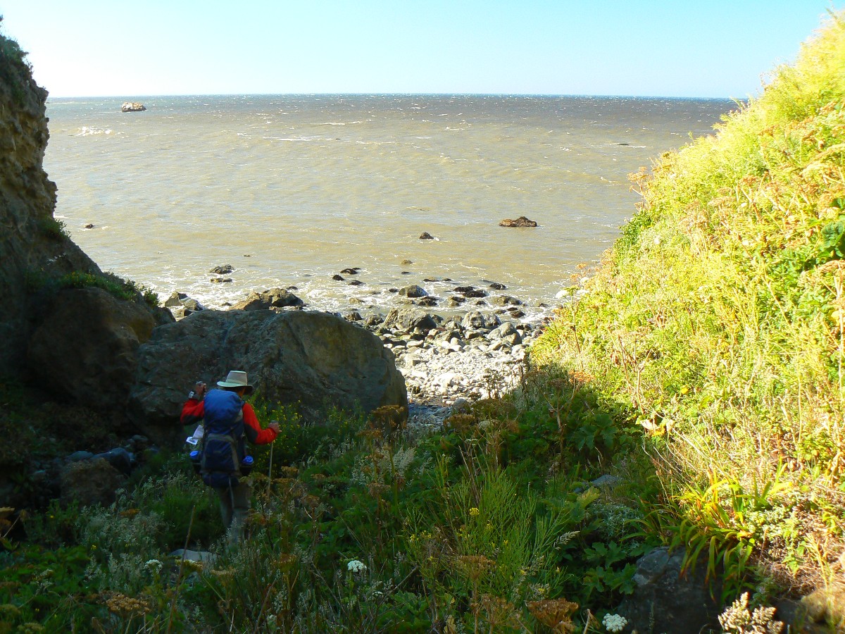
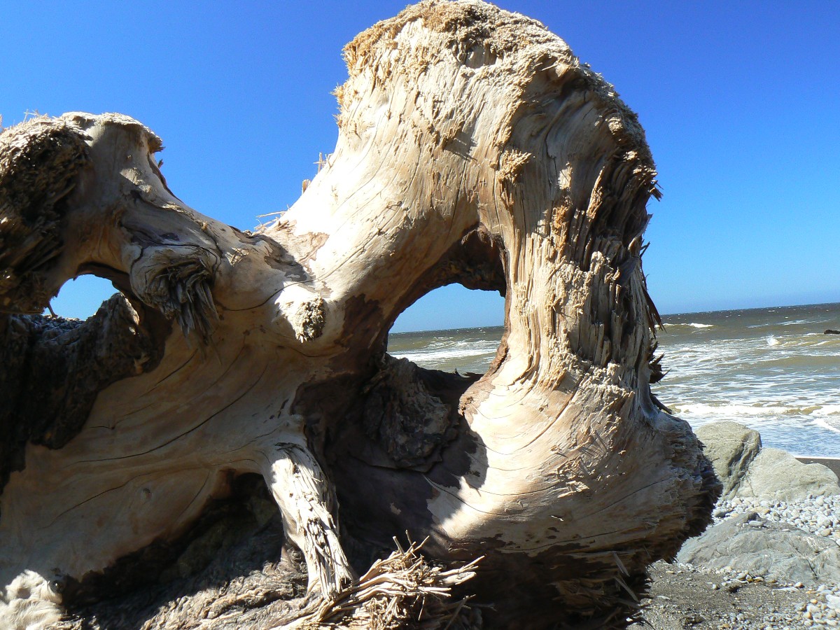
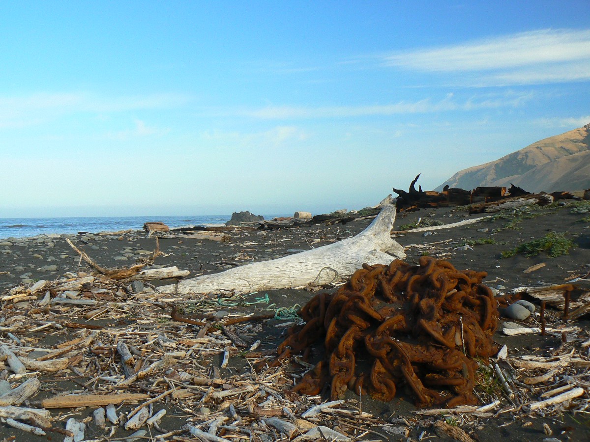
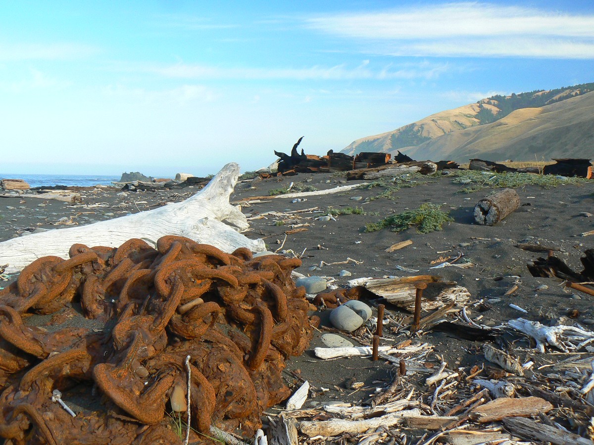
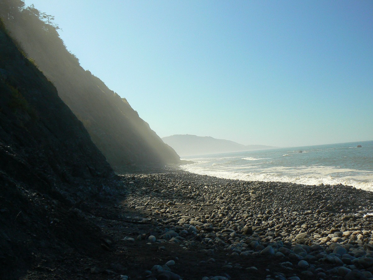
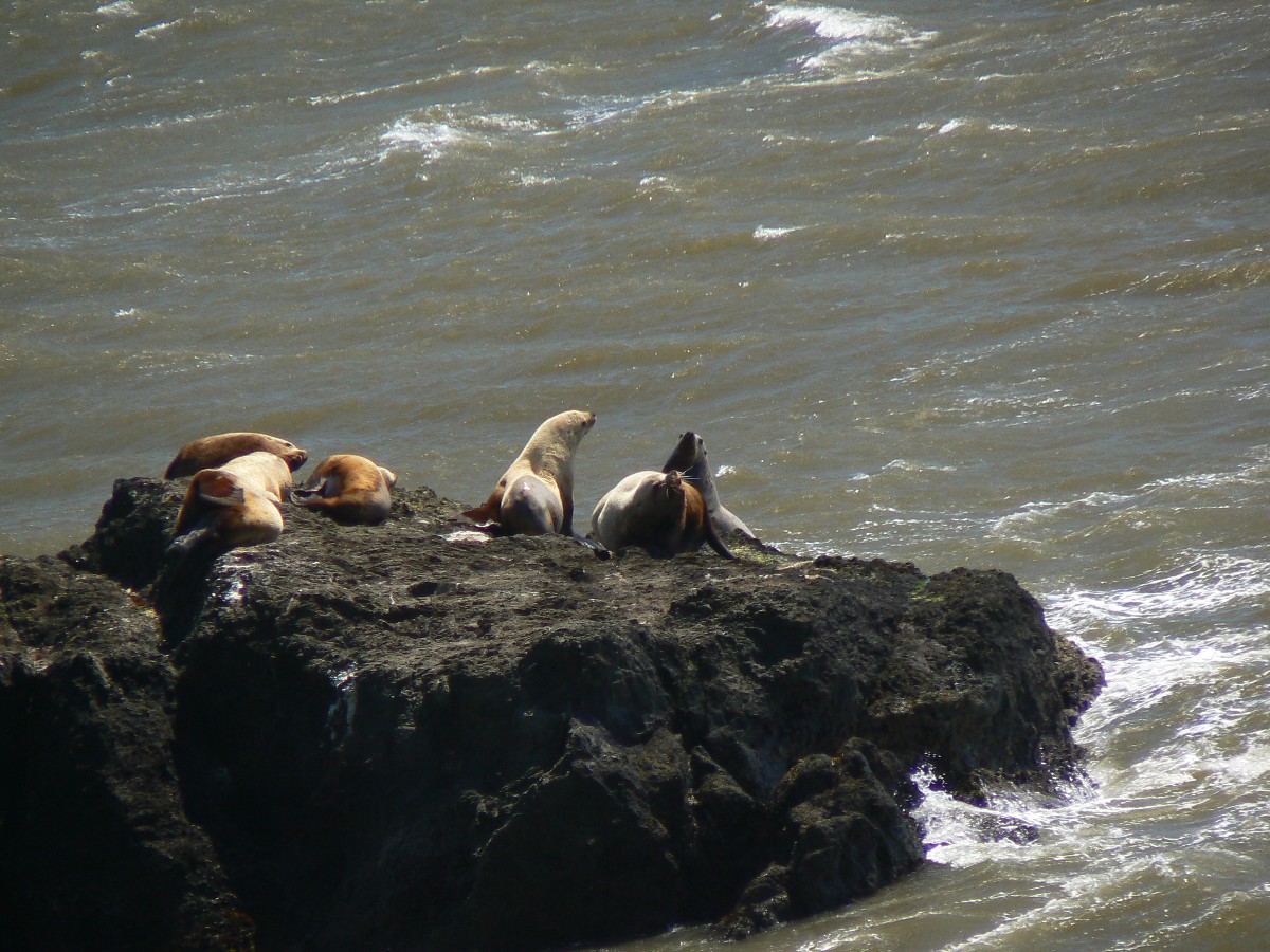
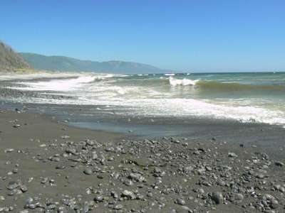
Day 1: Sea Lion Serenade:
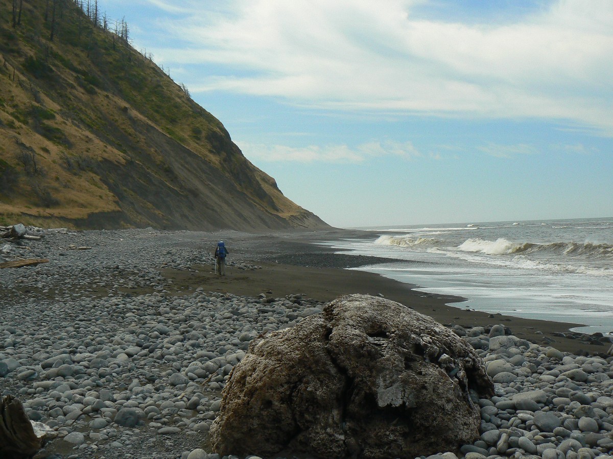
Matolle Beach to Sea Lion Gulch (about 4 miles).
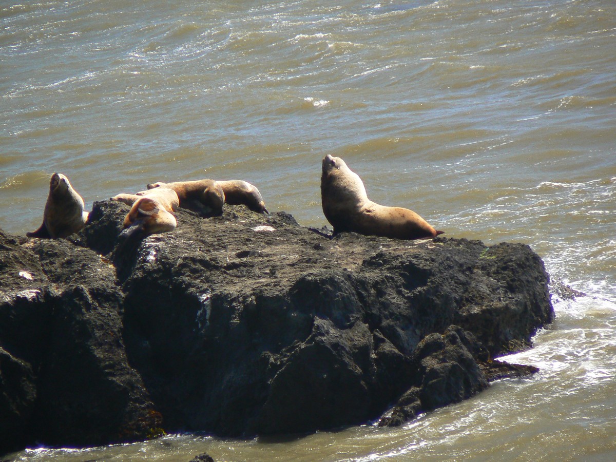
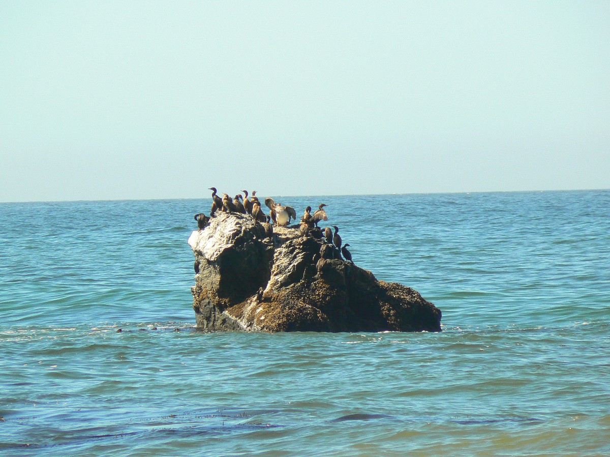
Between shrieks of the ever-present wind, Bob and I hear the bellowing resonance
of Sea Lions gathered on a rock a bit offshore. Wind, cool wind, powerful enough to literally blow me off the
trail while making a turn into a canyon. Mostly, the strong wind is at our backs - confirming our decision to
arrange a shuttle to the N end.
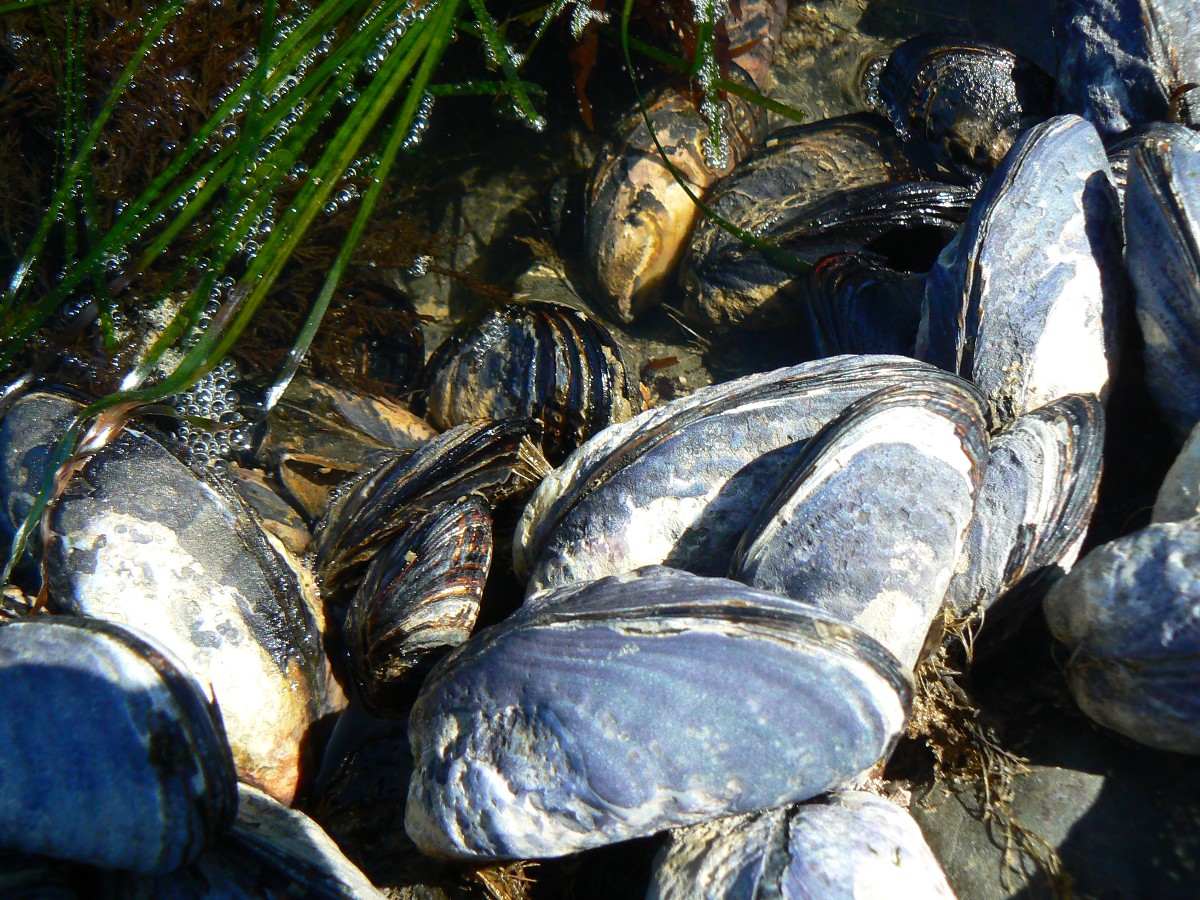
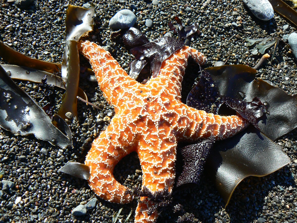
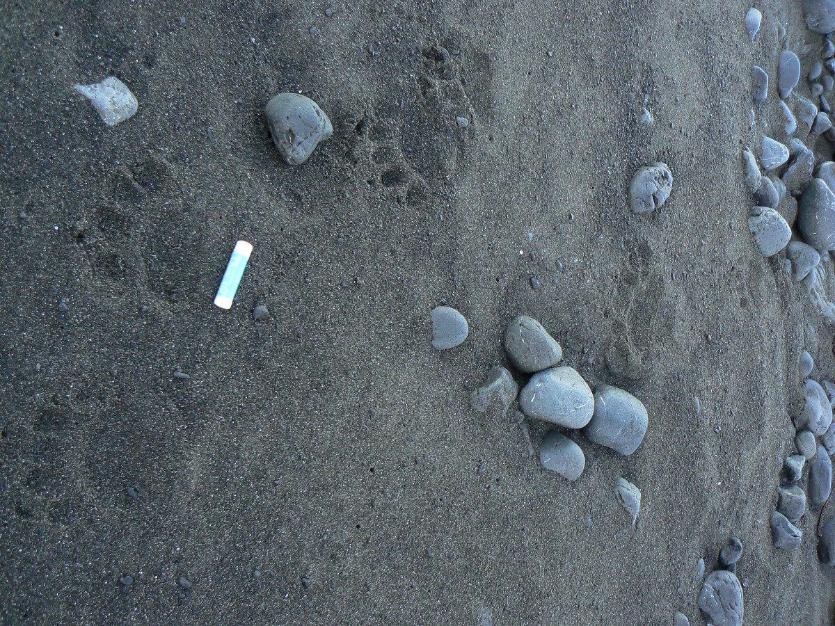
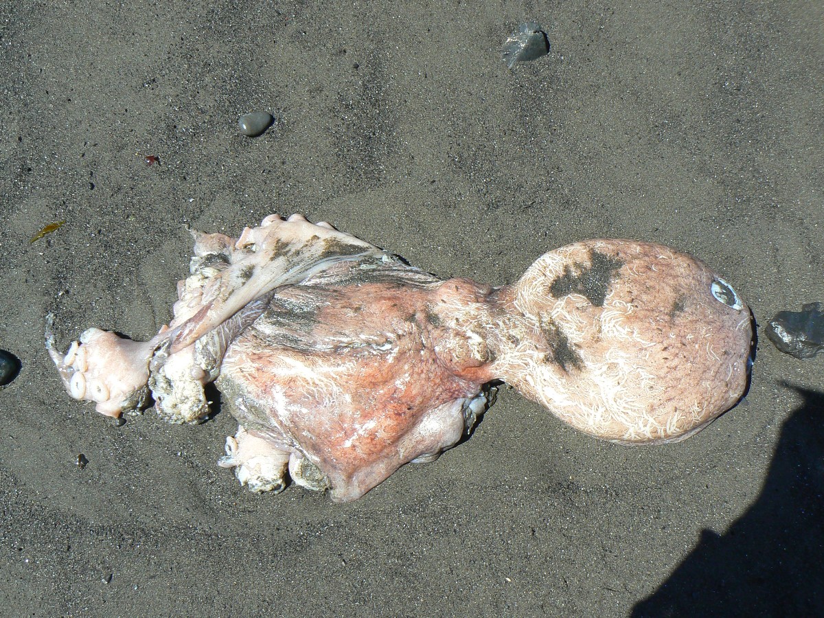
A tide pool with starfish, muscles, kelp, anemones, other stuff is enjoyed not
long after hiking around the shell midden. Shell midden? Yes, like the middens below the Pueblo great houses
of the SouthWest, these heaps are piles of refuse, and in this case from Natives cleaning vast quantities of shellfish.
While inspecting the map, two river otters lope upstream behind us to fresh water
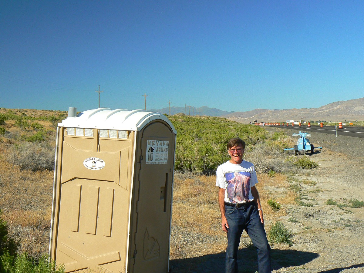
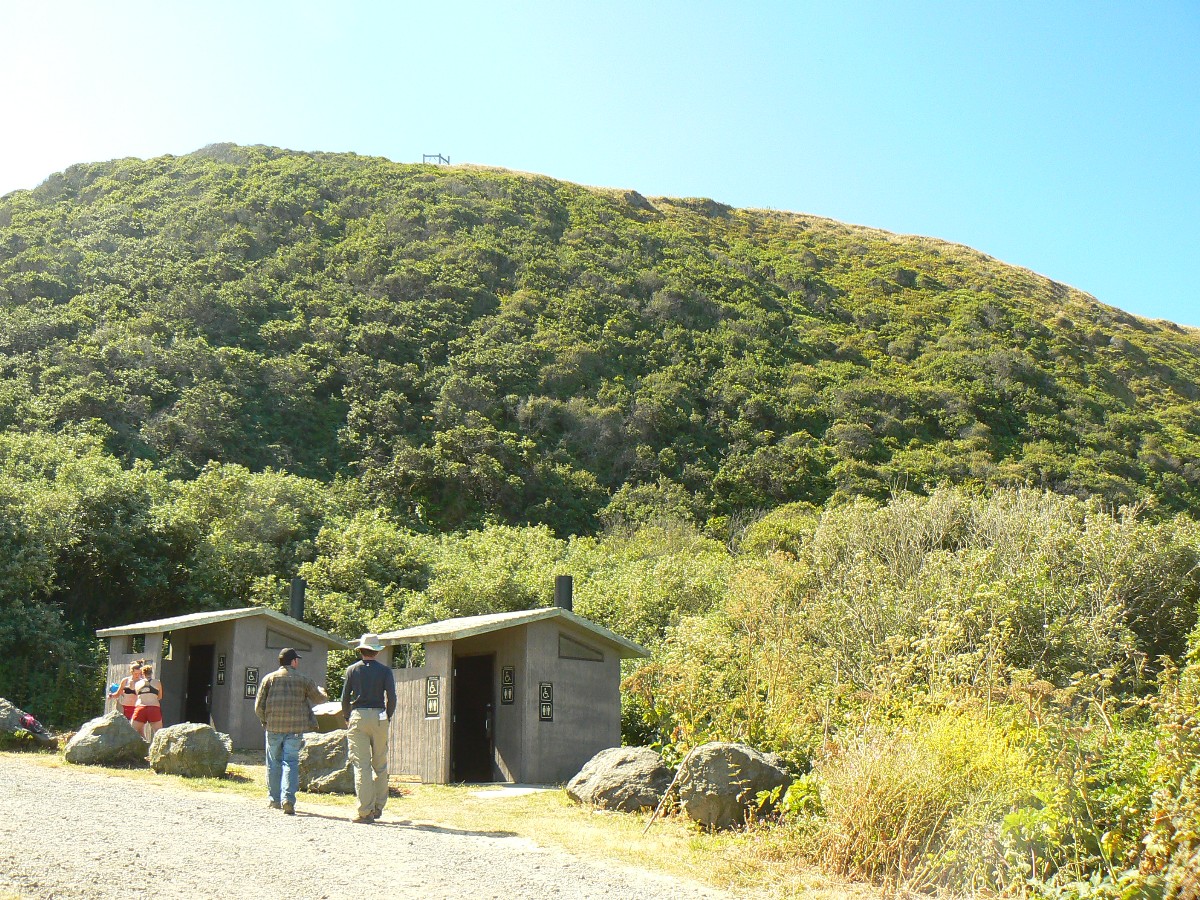
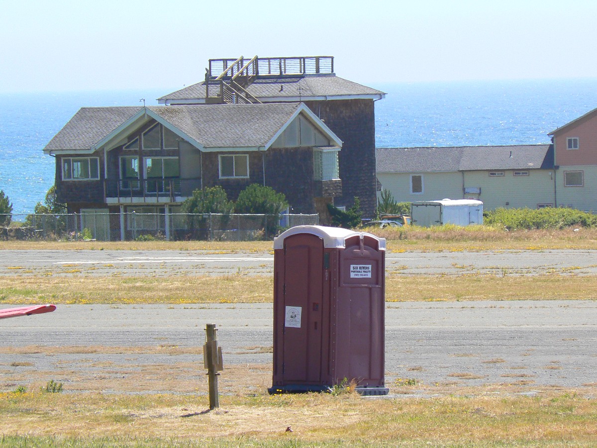
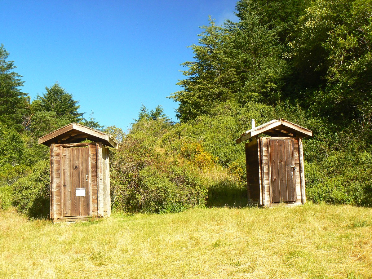
and fish at Four Mile Creek, a location also containing a scenic and still in use toilet (a private inholding,
pun accidental). The otters are too quick for a photo, so use your imagination.
A phalanx of Brown Pelicans, big bills angled down, ride the wind stationary,
appearing to plummet, yet dead still against the gale. 40 MPH wind? Wind chill of 30F? Certainly, it's difficult
to walk into the wind.
Today, we are with the wind, in relative harmony with the wind, although trying
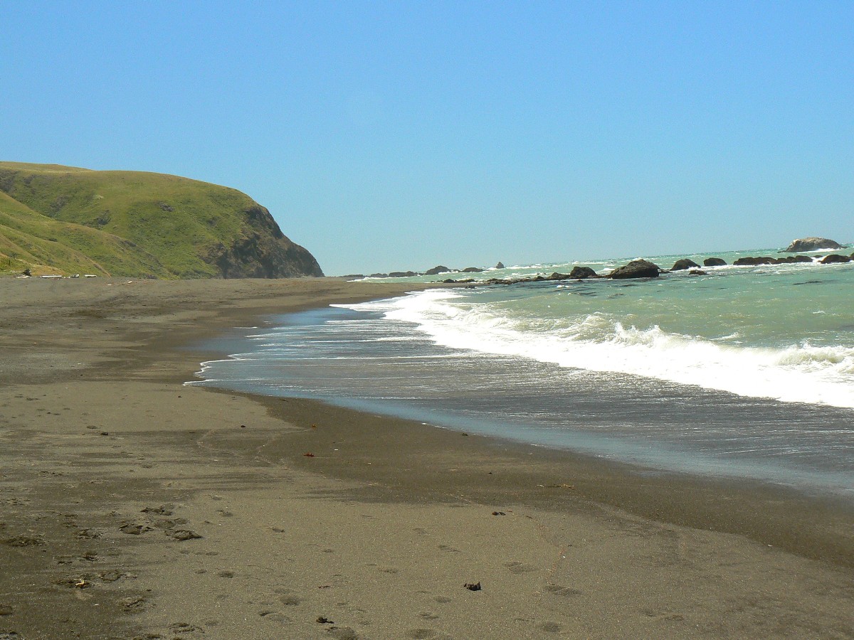
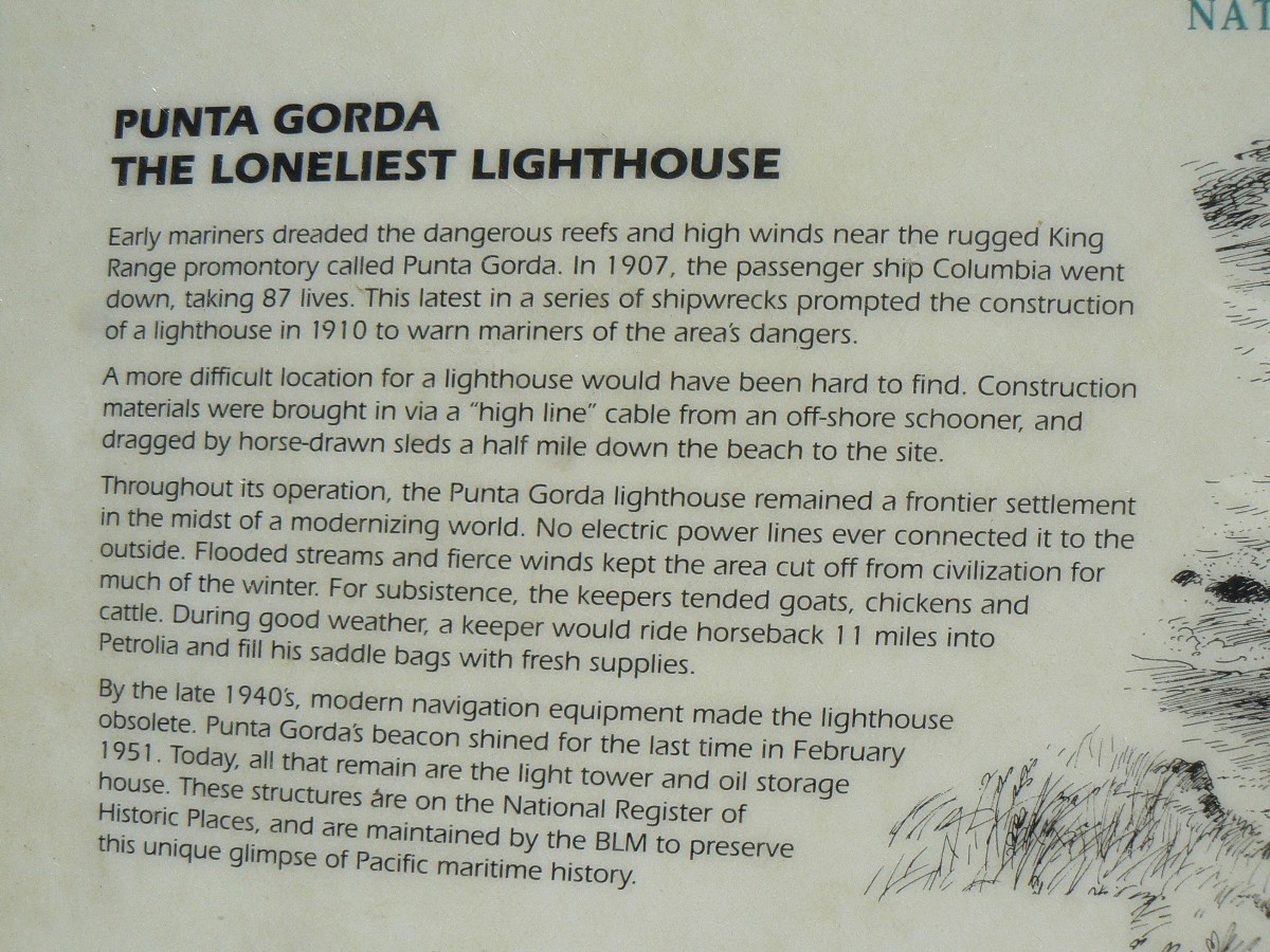
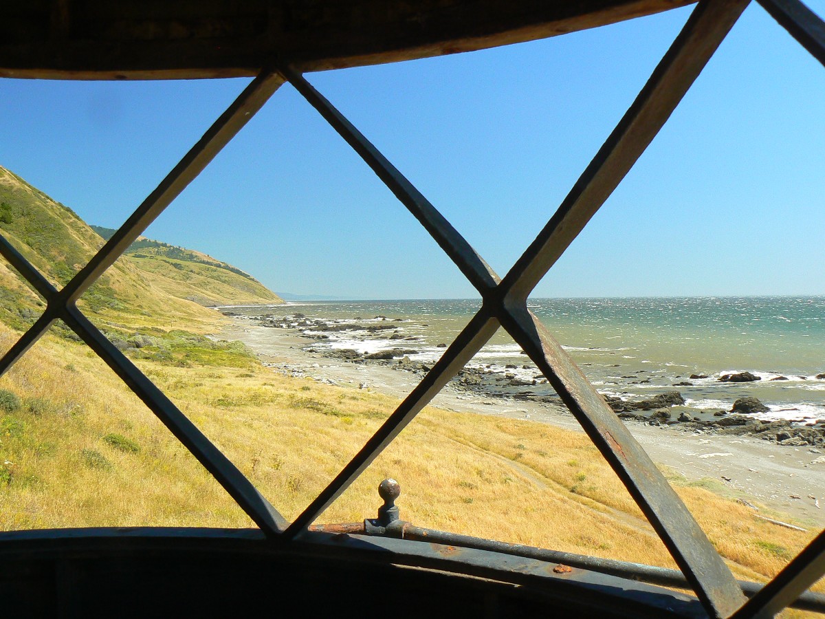
to find a place to camp where the tent will stay is a challenge. The wind at Punta Gorda Lighthouse tears tears
from my eyes and stings my face with zipping sand.
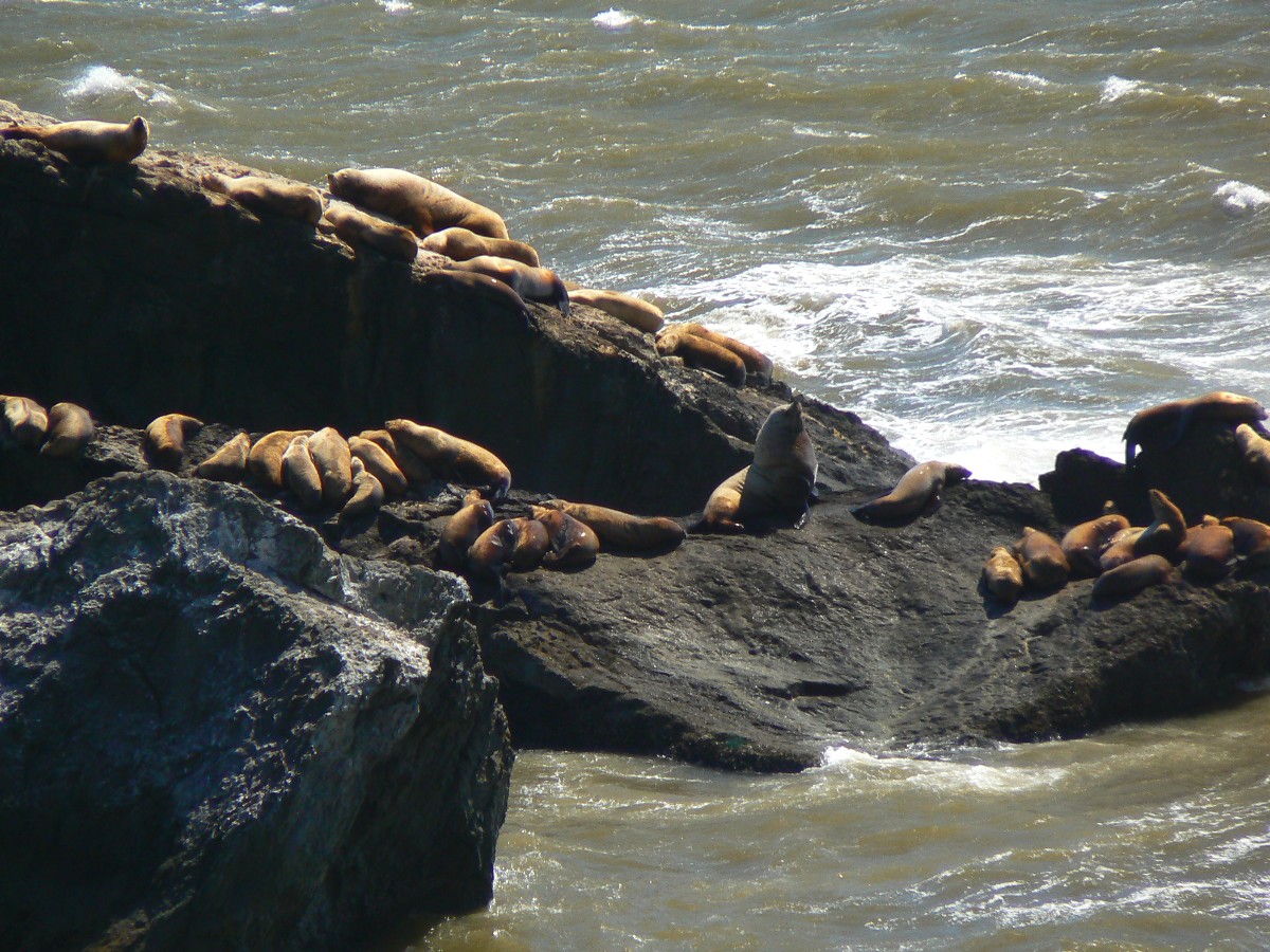
Now, hiding in my flopping TarpTent, flopping like a return missionary, the bull
Sea Lions bugle their love songs, vibrating the Pacific tectonic plates. A very unusual sound for a man of the
desert. Deep and resonant, most of the calls are probably subsonic. Bob reports that he can feel portions of
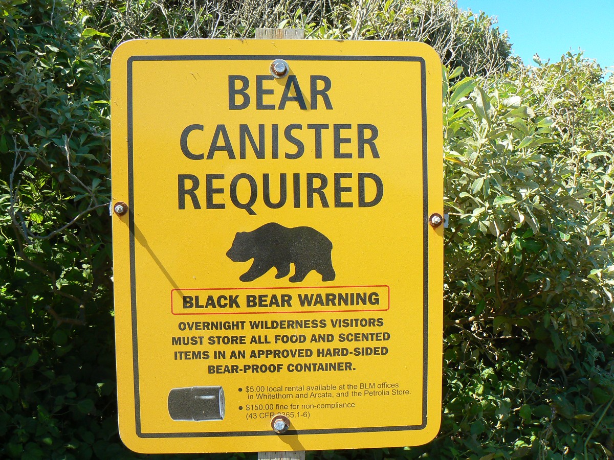
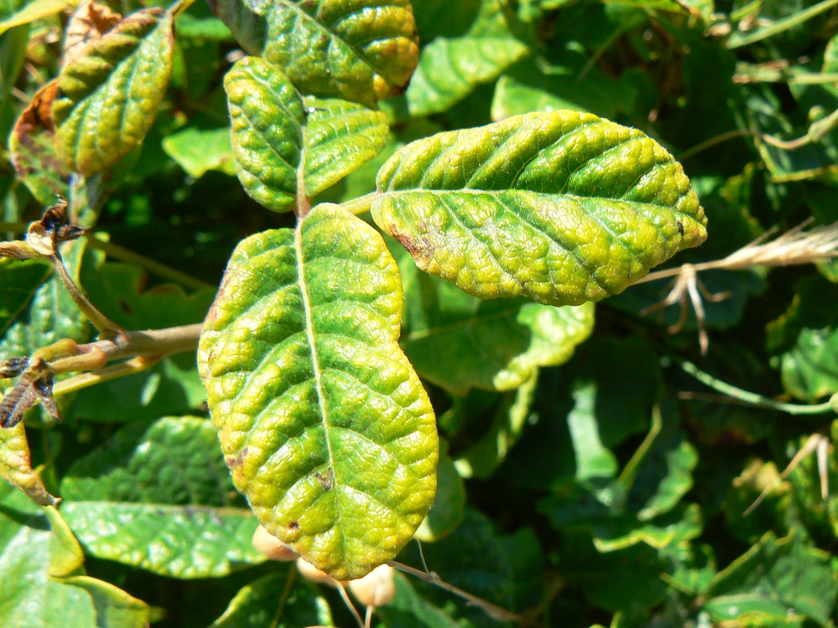
the calls through his hiking poles. There's lots of poison oak along the trail today. Bear can required. I wonder,
how does a bear fit in this relatively small can? Like everything but human girth and corporate greed downsized
in our once-great land, now perhaps greatest in its progress toward third world status, I wonder if bears have been
downsized and can now fit in this can? Seriously, it's a good thing to keep the bears eating naturally, like we
did on the John Muir Trail last year. Link below.
John Muir Trail – Hiking the Jaunty Juggernaut: Happy Isles in Yosemite Valley to Whitney Portal
Wind peels sheets of water off the ocean and atomizes it as I drift off to sleep on the Lost Coast.
 |
 |
 |
 |
 |
 |
 |
 |
 |
 |
 |
 |
 |
 |
 |
 |
 |
 |
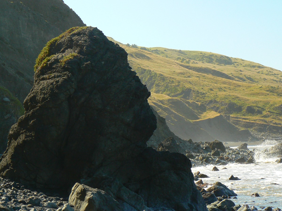
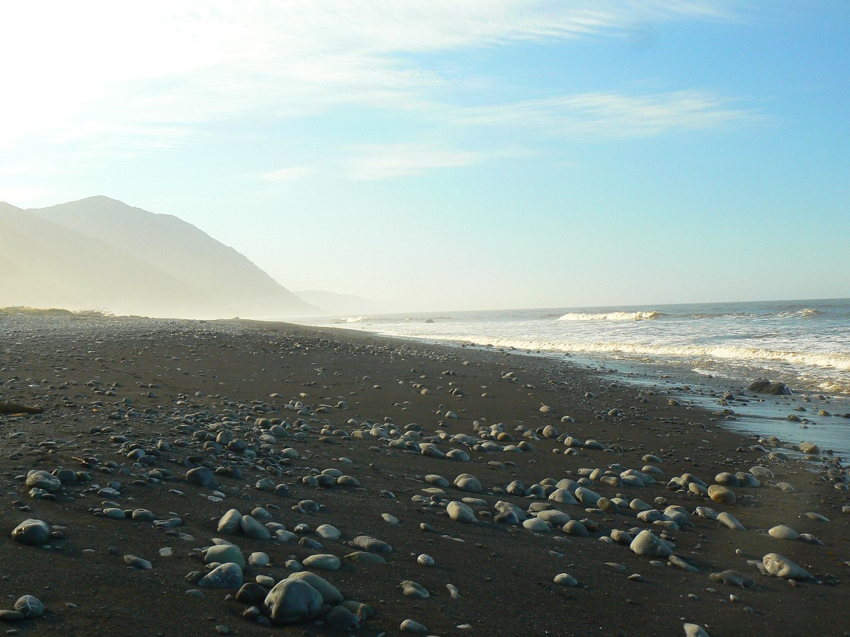
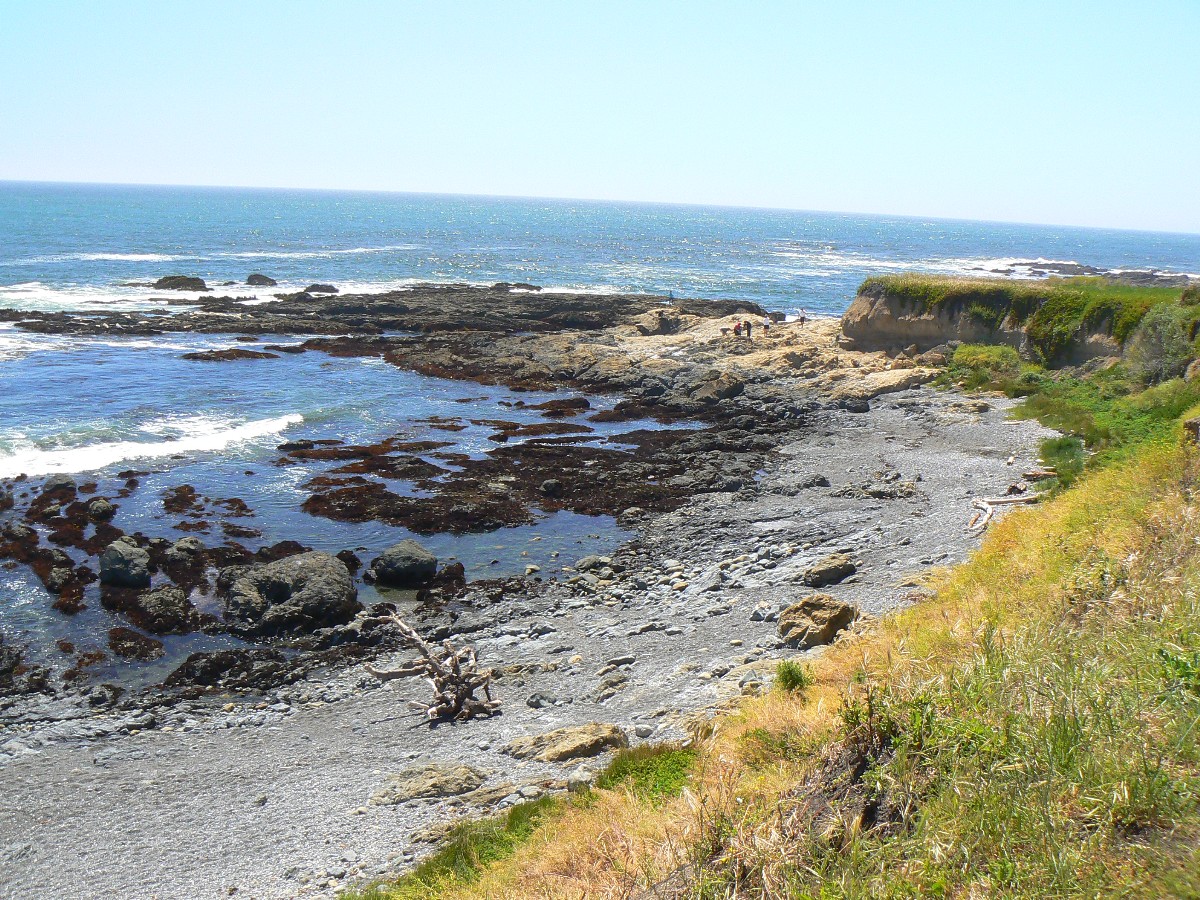
Day 2: Tip-toe through the tidal zone: To Spanish Creek (about 7 miles).
Strum, drum, strum, crum reverberate the low tones of Mr. Grouse, somewhere in the
granite boulders overlooking Long Meadow. Dave and I sit and vegetate, enjoying the strumming of Mr. Blue Grouse.
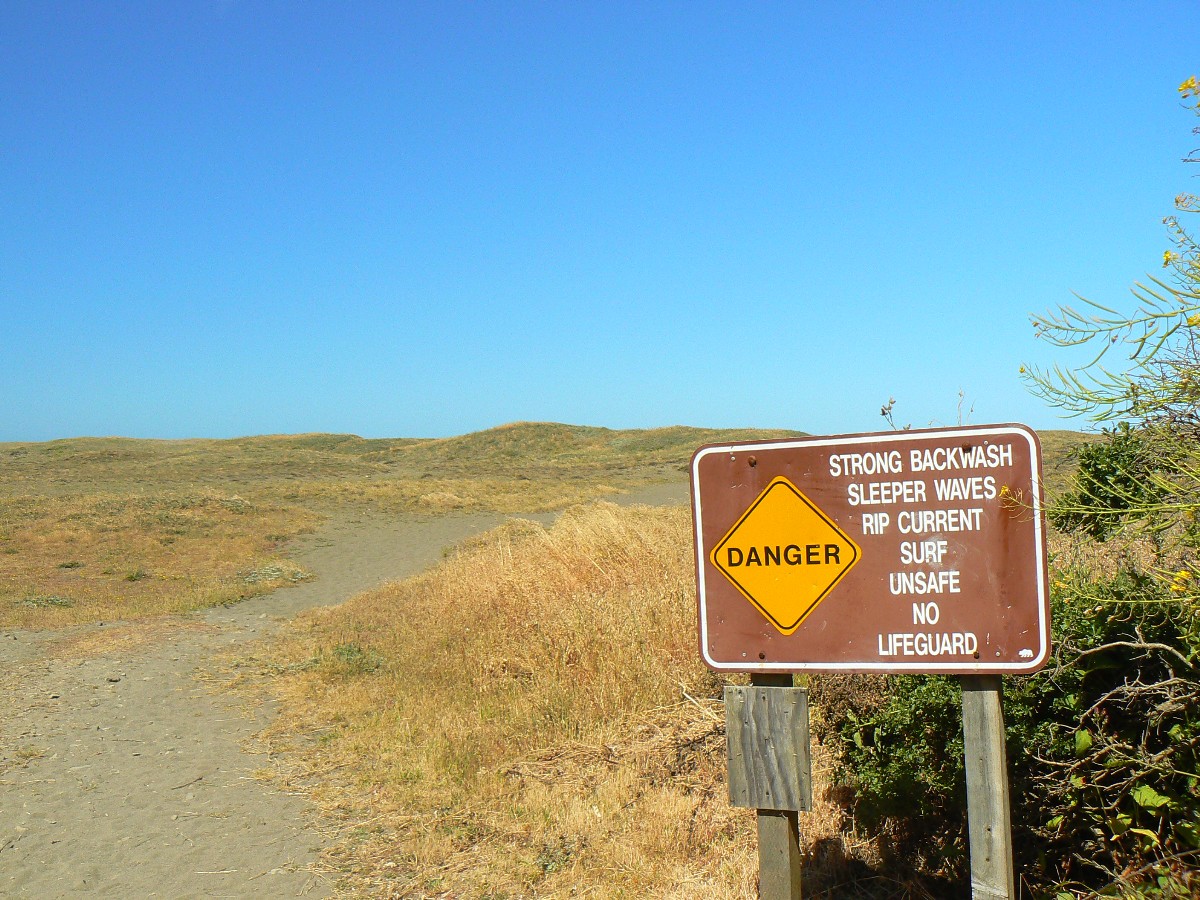
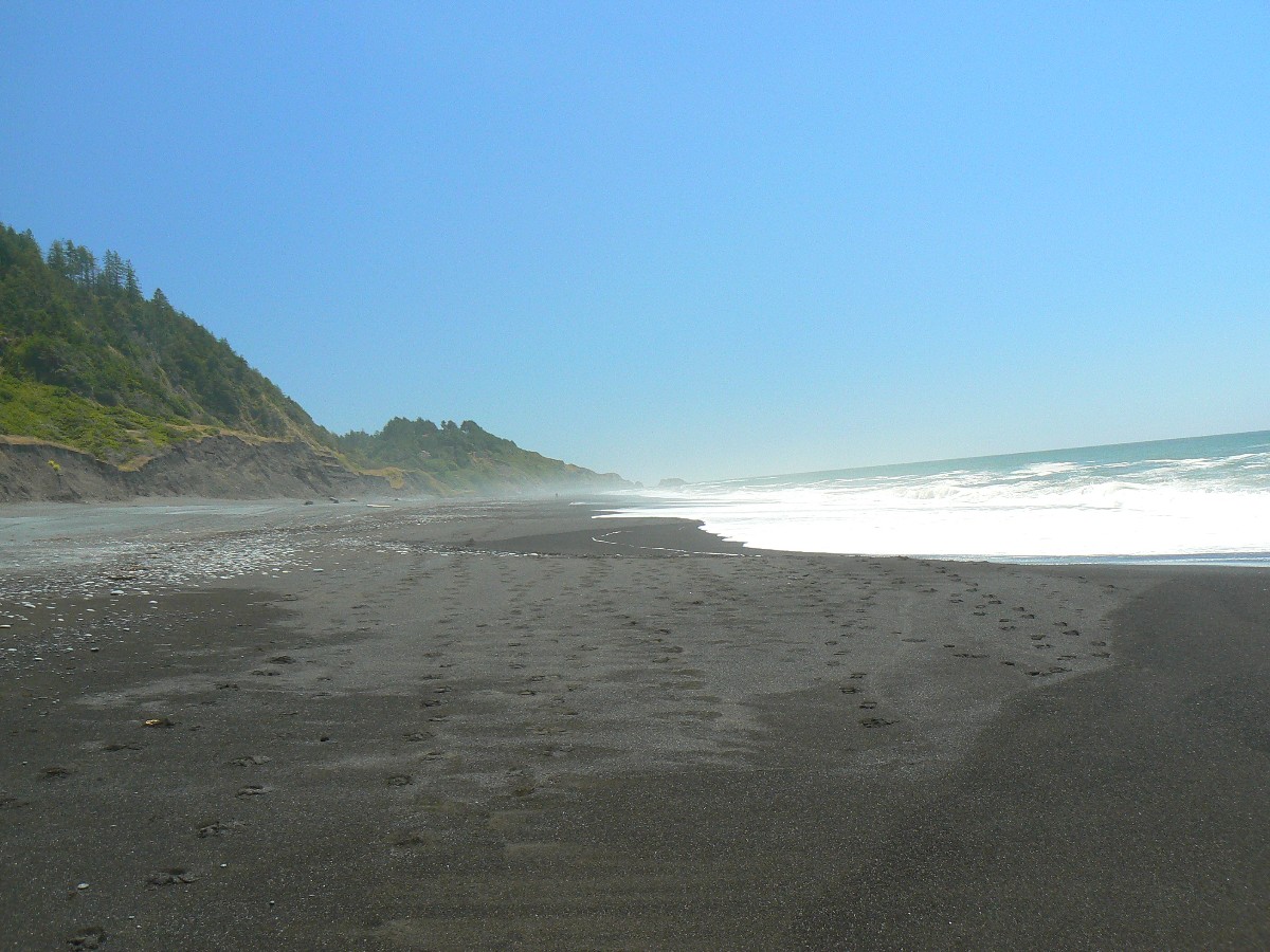
I'm walking the firm ebony sand in the tidal zone, tide inching higher, when fooom,
a sneaky sleeper wave rolls up the beach, cascading and foaming around and over my boots. Yikes. I dance without
grace up the beach, sustaining little damage. So, this is how unwary hikers get swept out into rip tides, many
having about the same outcome/benefit as republican trickle down economics - none at all.
Bob has planned the hike with attention to what part of the day is low tide -
because there are two "don't hike unless the tide is below 4 feet" zones on this trek, and today we are passing
through one of them, on our way to Spanish Creek. Typically, one hikes these zones during low tide, yet upon
studying the tide tables, it appears that one might walk the zones during high tide (provided they are below 4
feet, that is).
The wind seems less fierce today, yet at times still attempts to rip off my head
along with my hat. Over the course of today, the wind becomes a breeze.
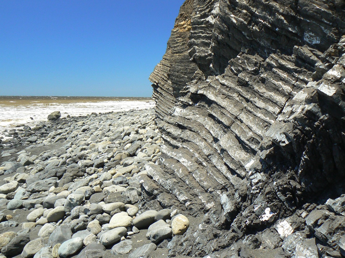
We start out and see a route around wet, moss-covered, slippery as republicans
and truth rocks - going up and over the low reaches of a bluff, passing the Cooskie Spur Trail junction, and then
back to the beach in the "trail impassable at high tide - 4 miles" section. Soon, we are at Cooskie Creek and
beach walking to Randall Creek, then onto the Spanish Flat highway on a bench, to today's camp in the lee of canyon
walls, Spanish Creek.
It's crowded here. Two are here when we arrive, then 8 more in 3 groups appear
soon after. More of the herd browse the breezy zones nearer the ocean.
Now, in early evening, I'm looking down canyon across the wind sculpted conifers
to the immensity called the Pacific Ocean, enjoying a relatively warm evening, sitting on my bear can and mindfully
mind-wandering through the day.
 |
 |
 |
 |
 |
 |
 |
 |
 |
 |
 |
 |
 |
 |
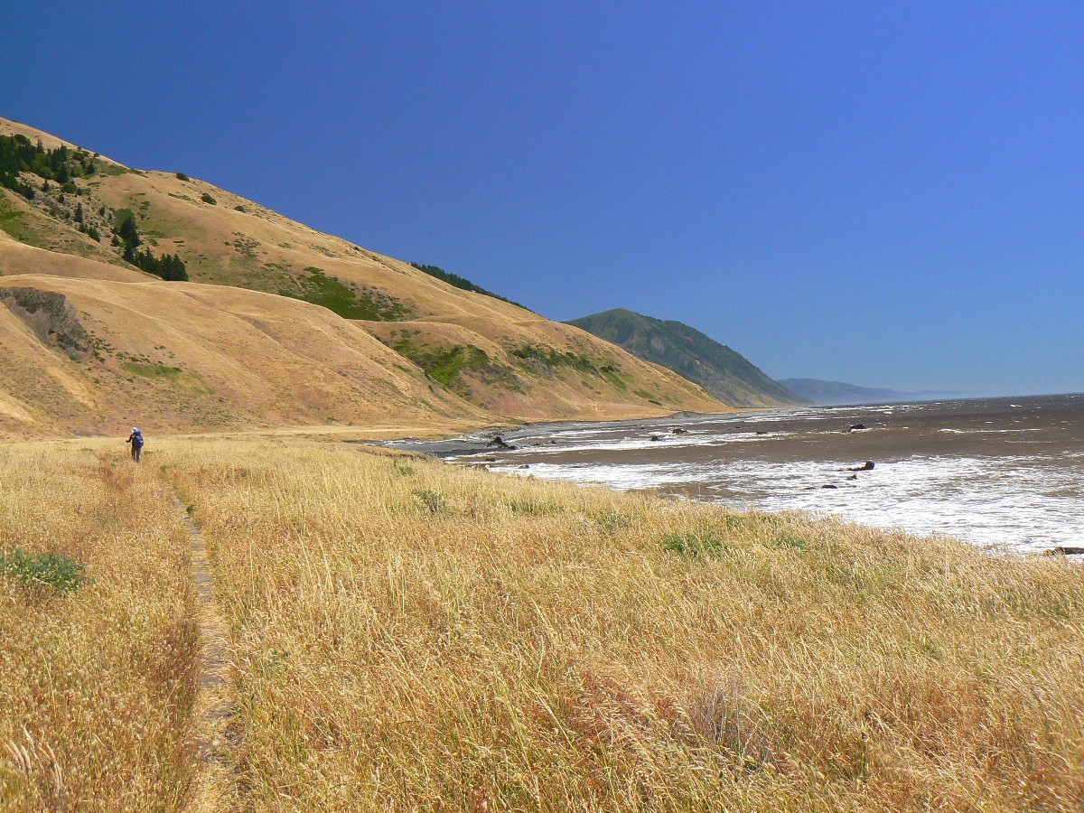 |
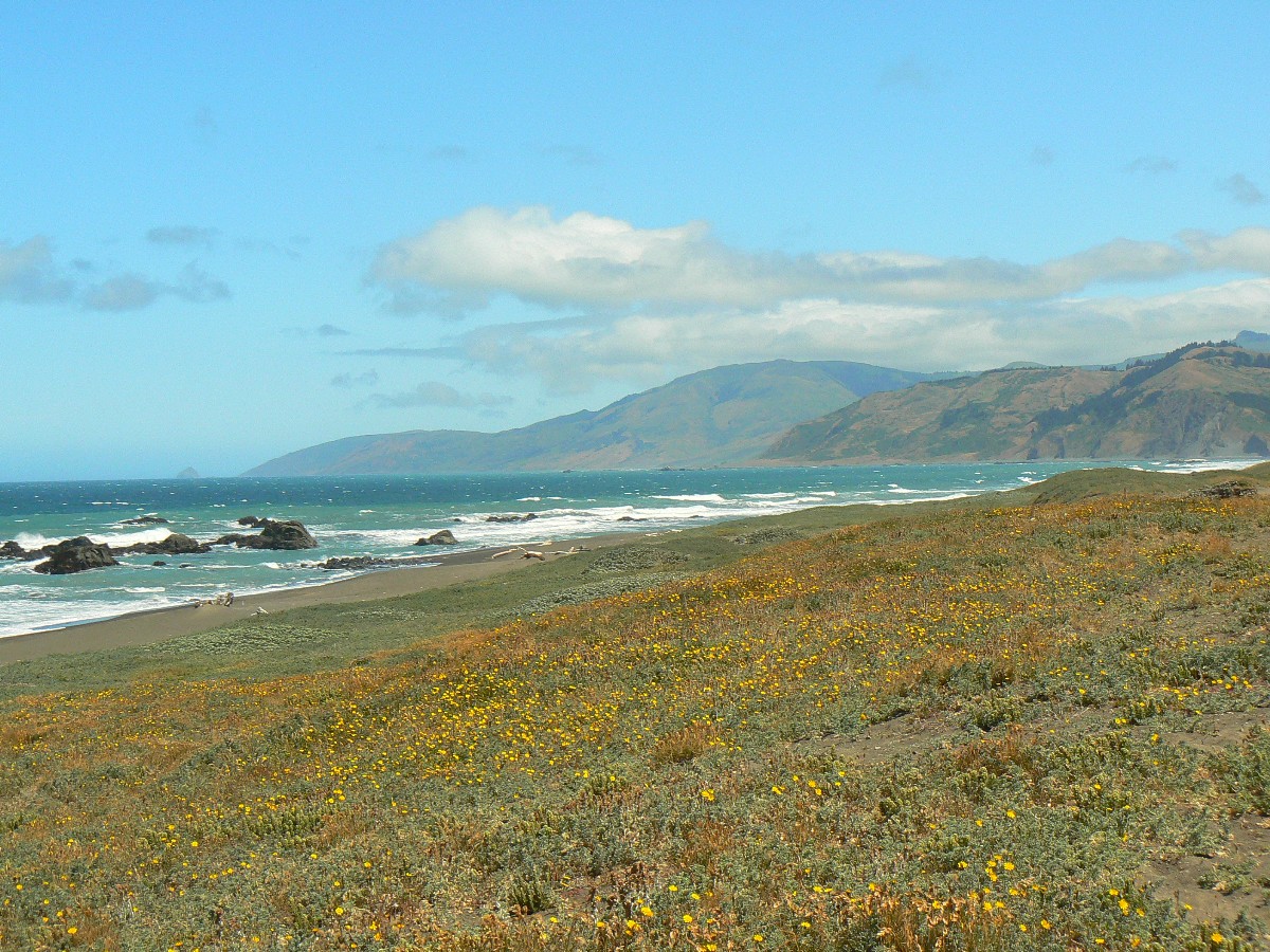
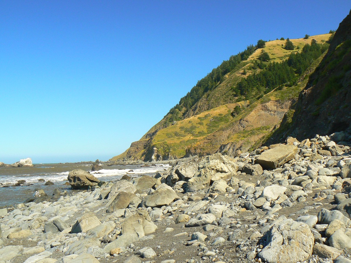
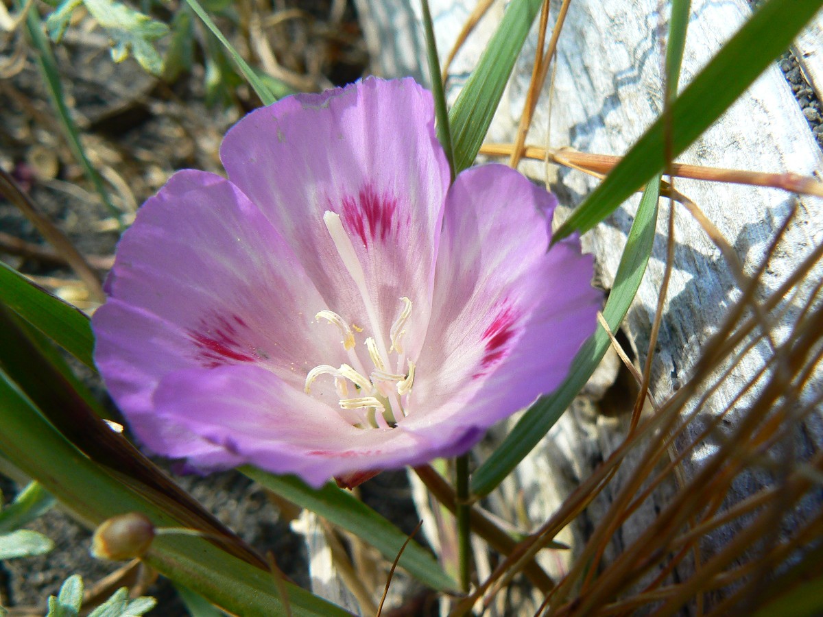
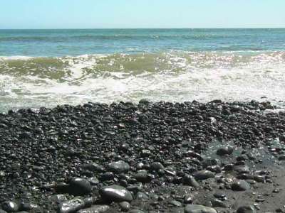
Day 3: Golden trail to Margaritaville: To Big Flat Creek (about 6 miles).
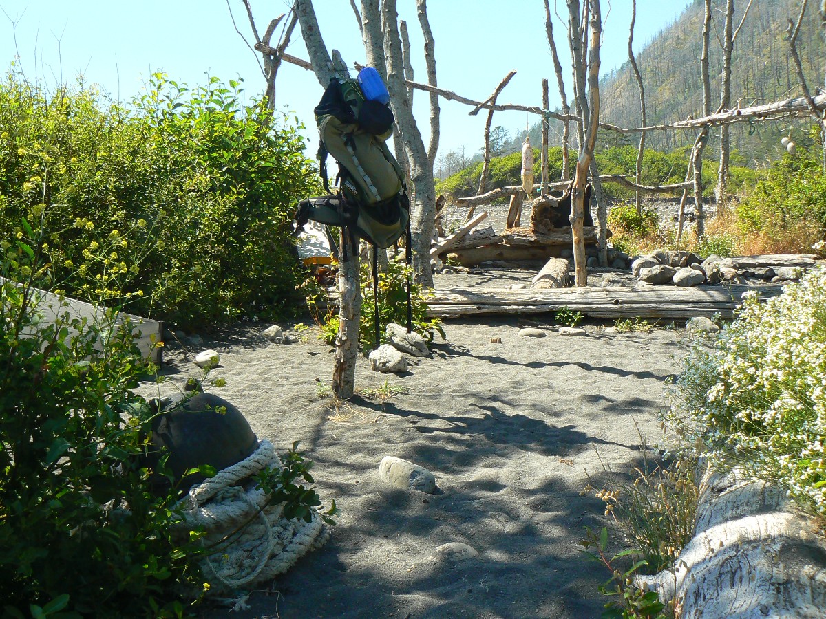
The bumpers and buoys wave listlessly from the cross poles in the on-shore breeze.
There's a rock-lined entranceway with an edge fringe of halter rope, a garden of flowers and a few poison oak and
large polished driftwood logs for sitting. Surf pounds and the retreating waves are accompanied by clattering,
clacking rocks being rounded over many trips up, then down, the beach. Making sand. Bodacious backdrop. Is it
Gilligan's Island or a Jimmy Buffet camp? Jimmy, definitely. Margaritaville. Without the margarita, yet
certainly with the ville.
Herds of hikers rove Miller and Big Flats, arriving not long after we've settled
into the Ville. And, beach drifters keep arriving after our exploratory hiking and a bath, like hoards of
overpopulaters from cities that should not exist, Las Vegas, Phoenix, LA, Page, etc.
Earlier today - Bob and I start out amid calmish breezes and a touch of fog.
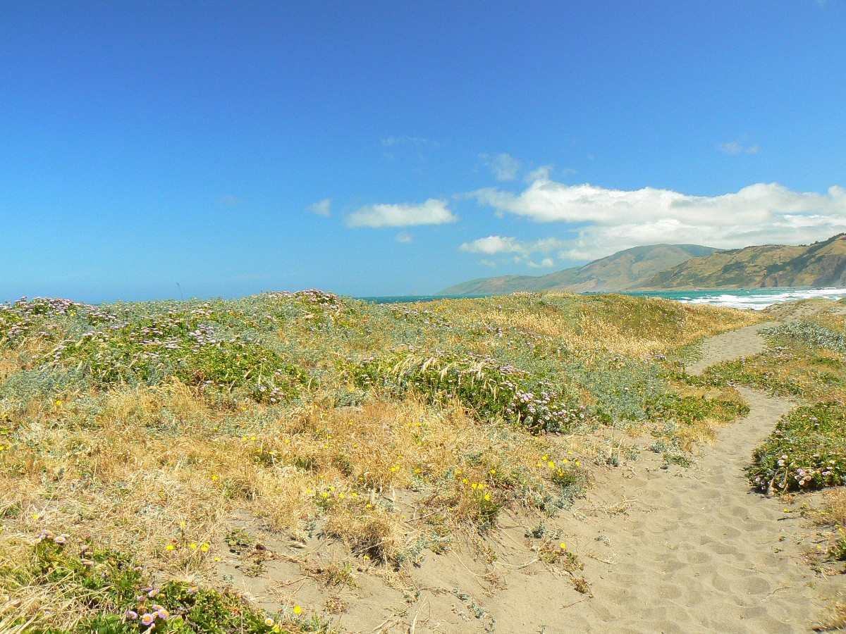
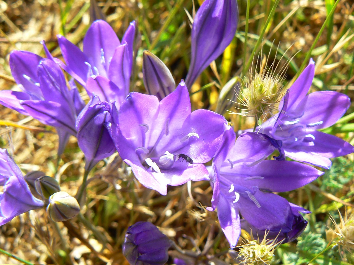
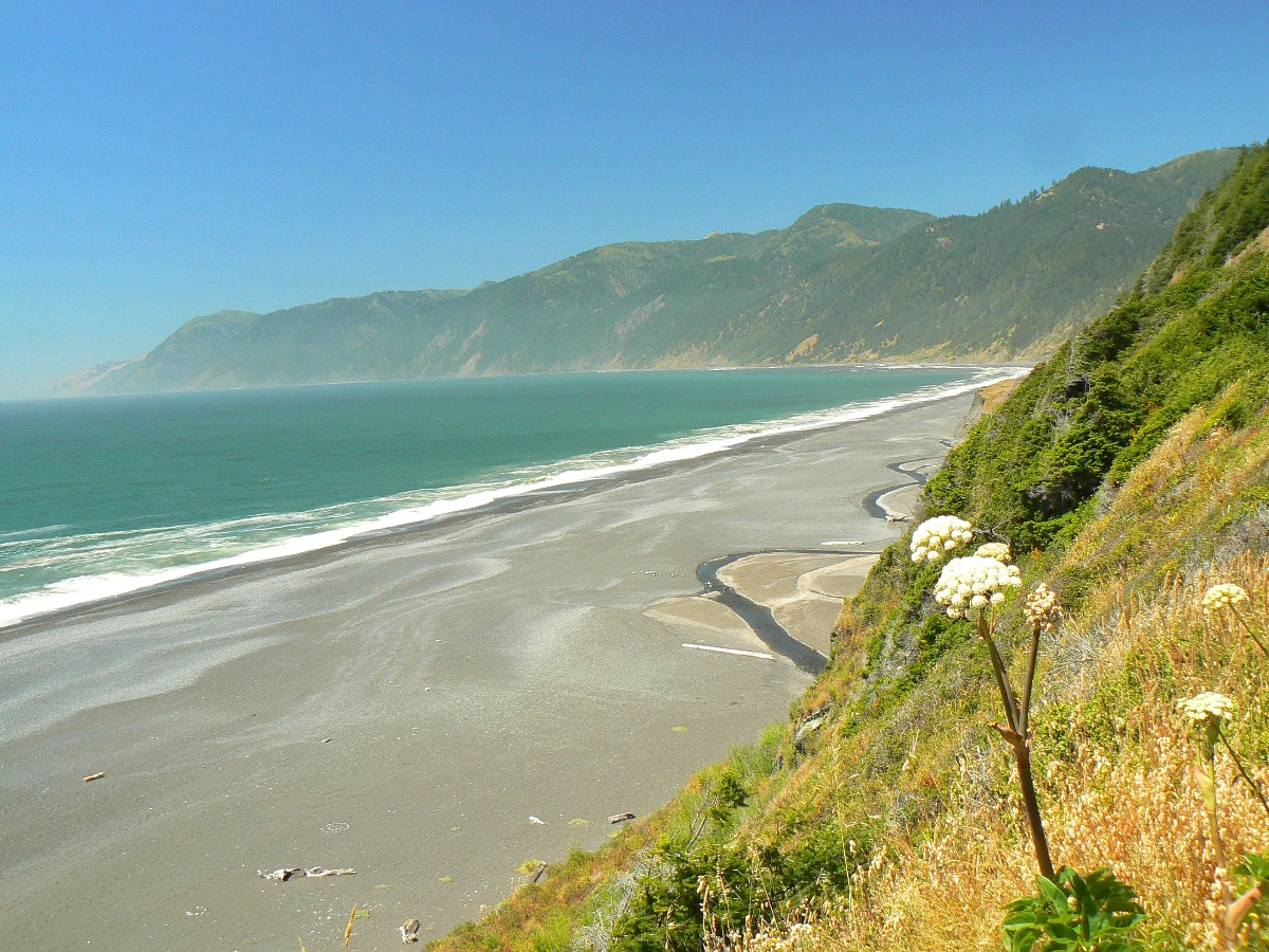
Beach and trail walking today, walking delightful black sands and rolling over golden trails past private inholdings.
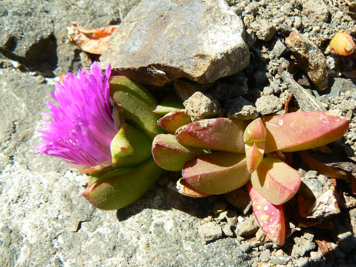
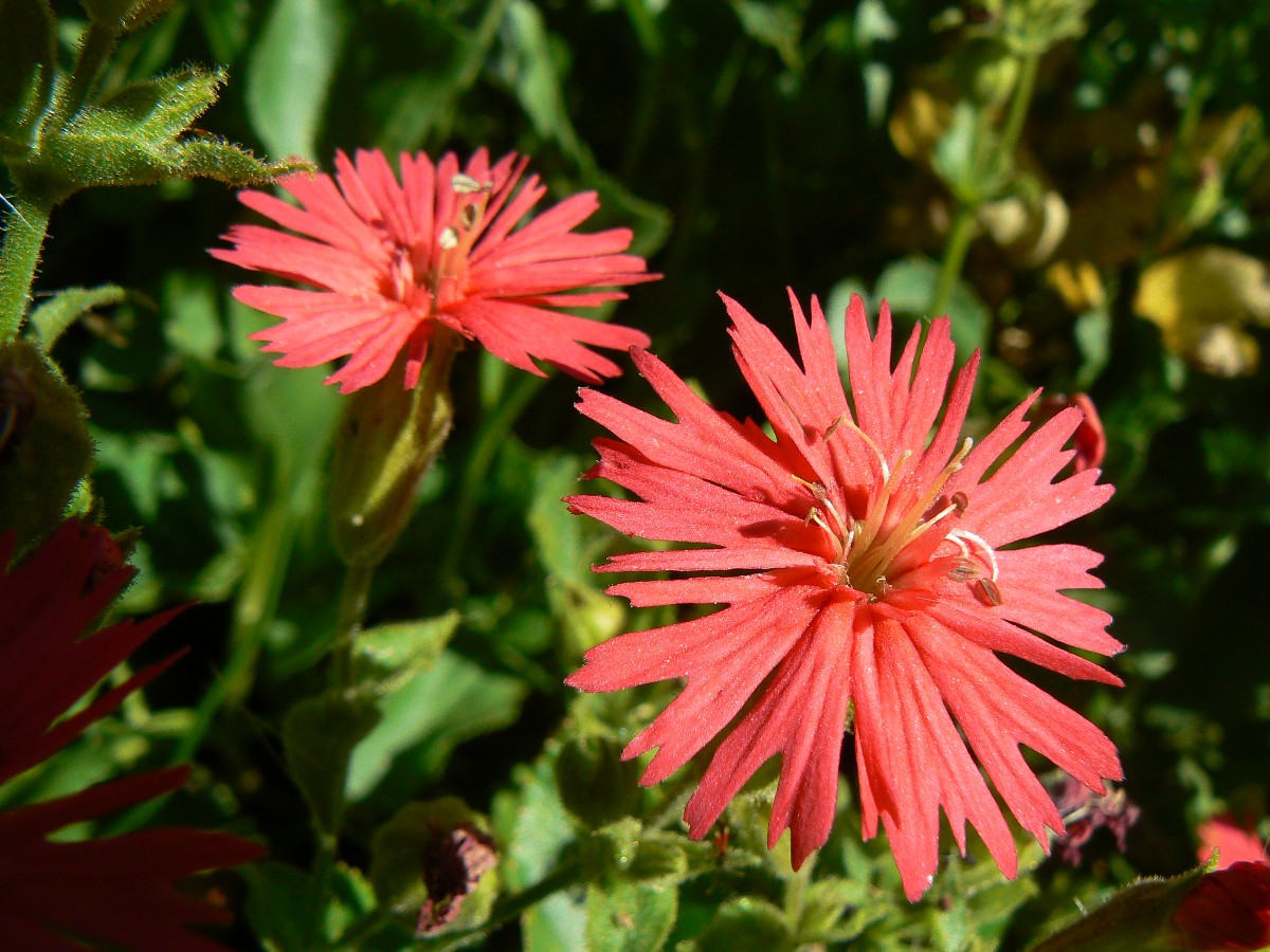
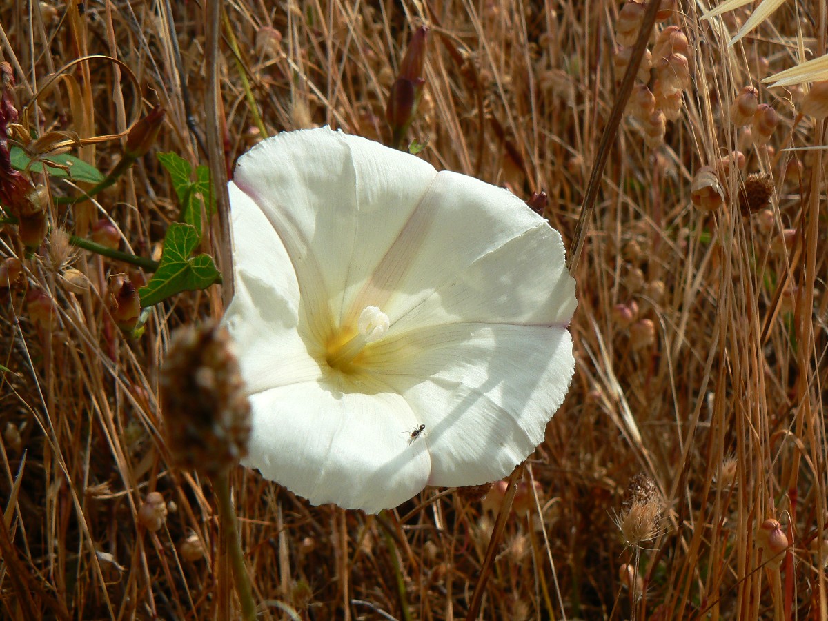
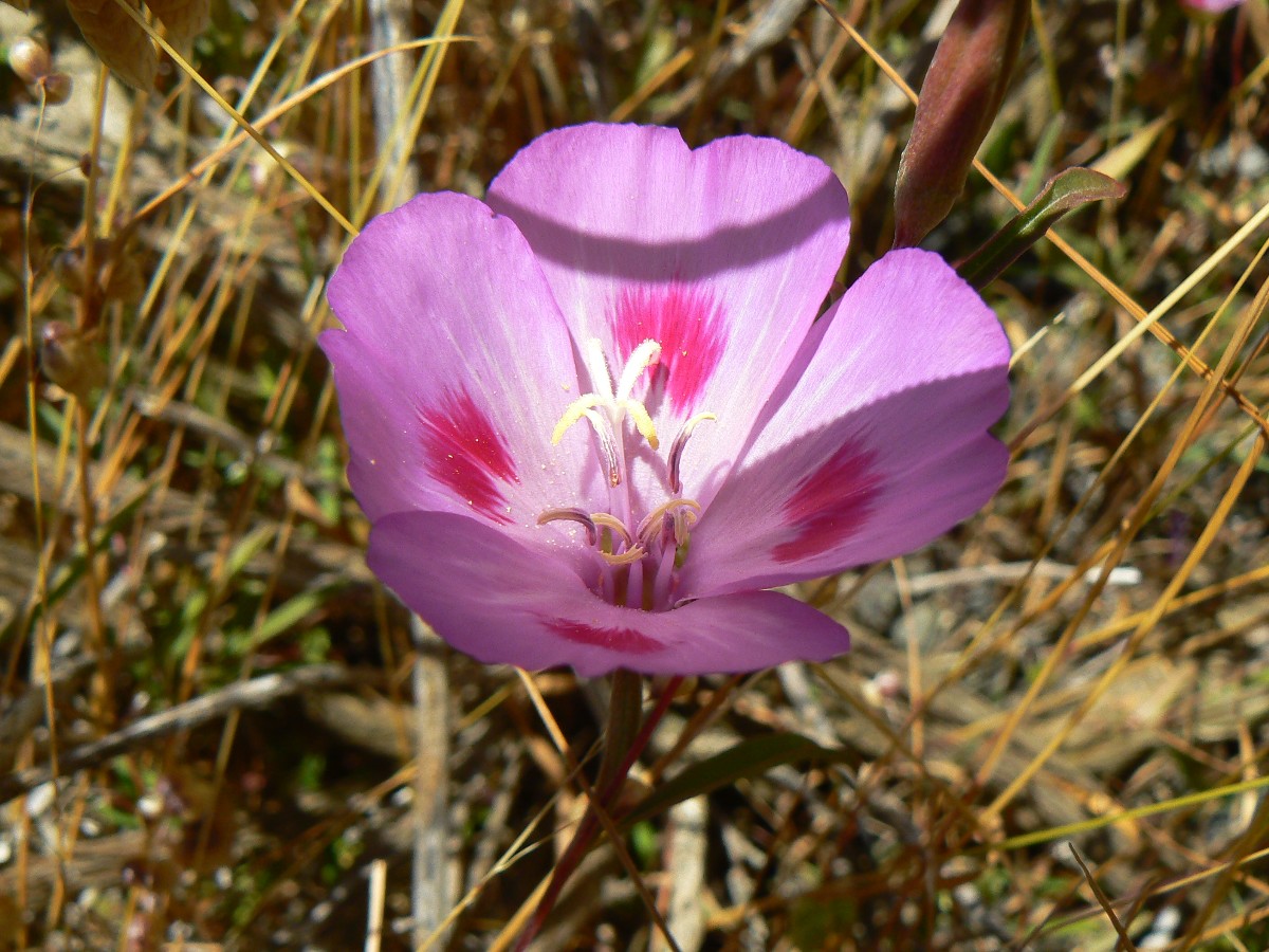
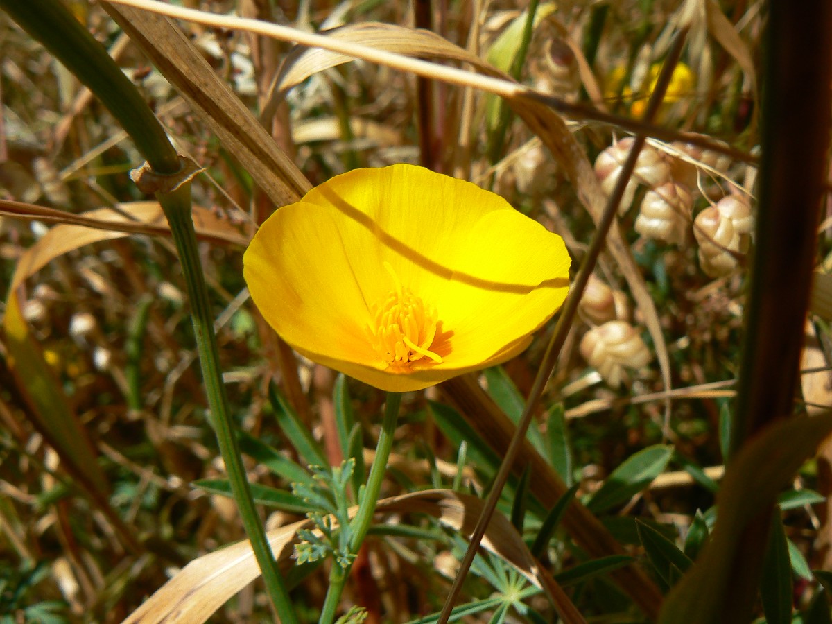
Golden grasses and California Poppies. Are these the reasons CA is called the 'golden state?'
We encounter Brianna, a BLM seasonal ranger, and Thomas, a volunteer, who check
our knowledge of regulations and our bear cans. I counter with questions such as 'what's the largest FS wilderness
in the contiguous U.S.?' Brianna and Thomas, and most folks, do not know it's the FCRONRW. Commonly called "the
Frank," it's the Frank Church River of No Return Wilderness, and it's in Idaho. Few people even get the Idaho
part. Actually, it's the largest FS wilderness in all of the U.S. (at 2.3 million acres), and separated by a
meager dirt road (the Magruder Corridor) from the 1.3 million acre Selway-Bitterroot Wilderness (Idaho/Montana).
The other large wilderness areas are NPS and FWS. Truly wild stuff. To continue this discussion, one might ask,
then answer:
Where is the largest area of contiguous wilderness?
In this context, contiguous means wilderness land that is unbroken by any exempted
corridors. In Alaska, the Noatak and Gates of the Arctic Wildernesses (12,743,329 acres) make up the largest area
of unbroken wilderness. In the lower 48 states, the largest area of unbroken wilderness is found in Idaho's Frank
Church-River of No Return Wilderness (approximately 2,300,000 acres). So, the Frank beats the other wild lands in
this most important aspect.
Obviously, I'm partial to the Frank, perhaps because I was involved in the very very
long fight to preserve part of these wondrous lands, and because of - A season of volunteering in the Frank Church -
see link below. Soliphilia.
here is a link to A season of volunteering in the Frank Church
Now, enjoying post prandial bliss, a bit of fog rolls up the creek, cooling everywhere. It's nearly sunset and a wind is working itself up, like a fornicating preacher preaching about the sins of the flesh. Copulate, yet only for the lord and republican fervor. Solastalgia. The partial-V of pelicans plys the wind to a secret roost and Bob and I go to roost in sheltered tents.
 |
 |
 |
 |
 |
 |
 |
 |
 |
 |
 |
 |
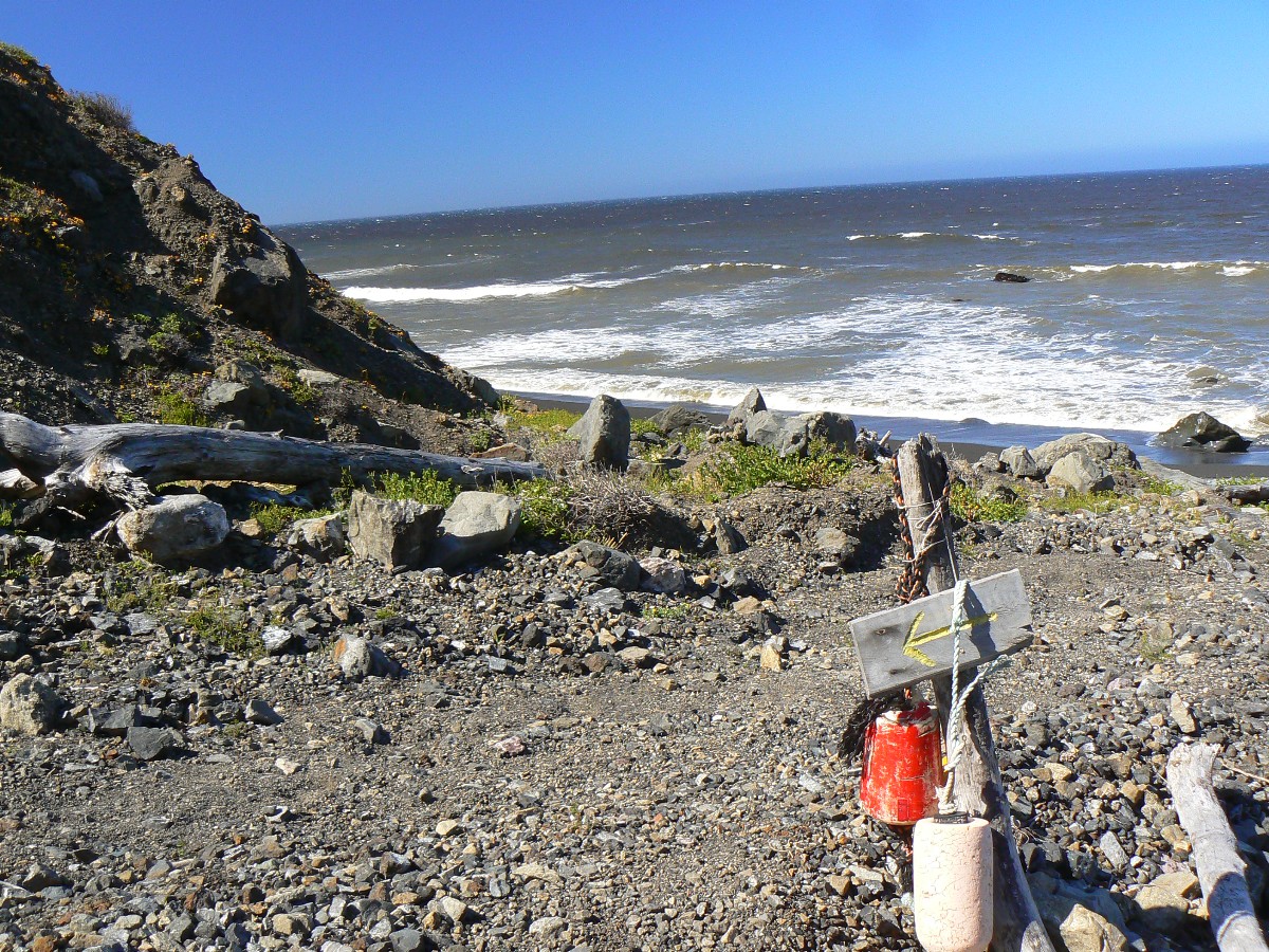
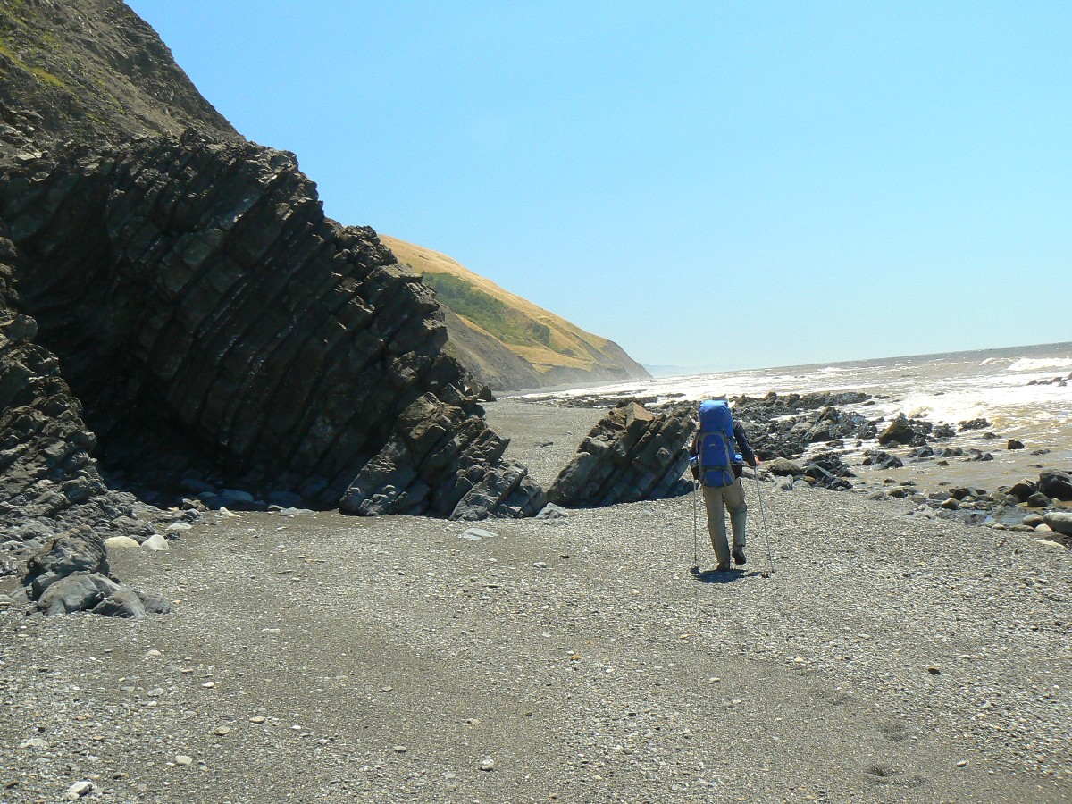
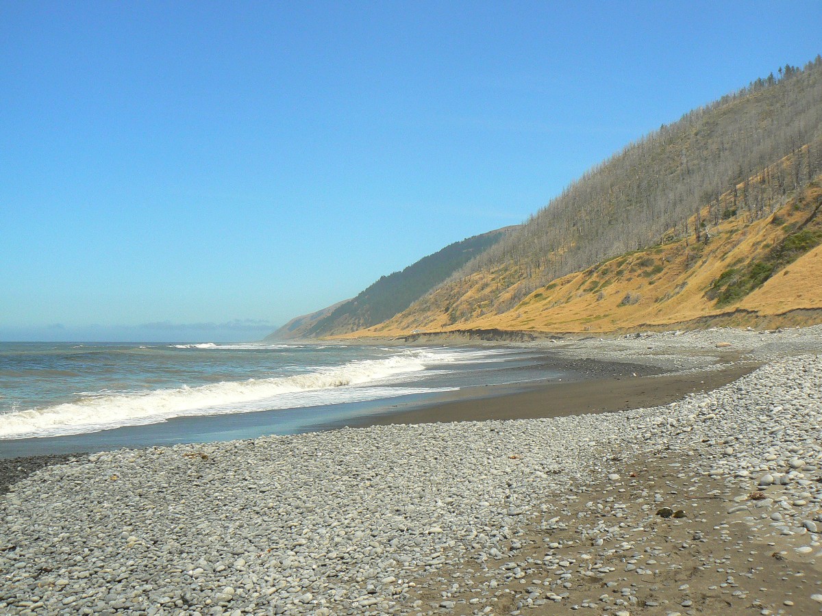
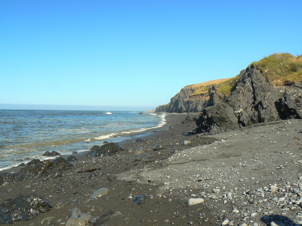
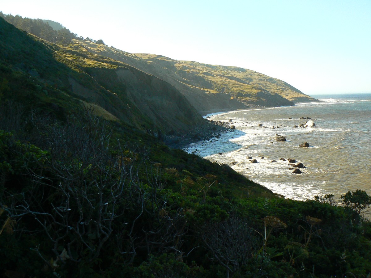
Day 4: Tracking the coast:
To Black Sand Beach TH, about 8 miles (24 miles total).
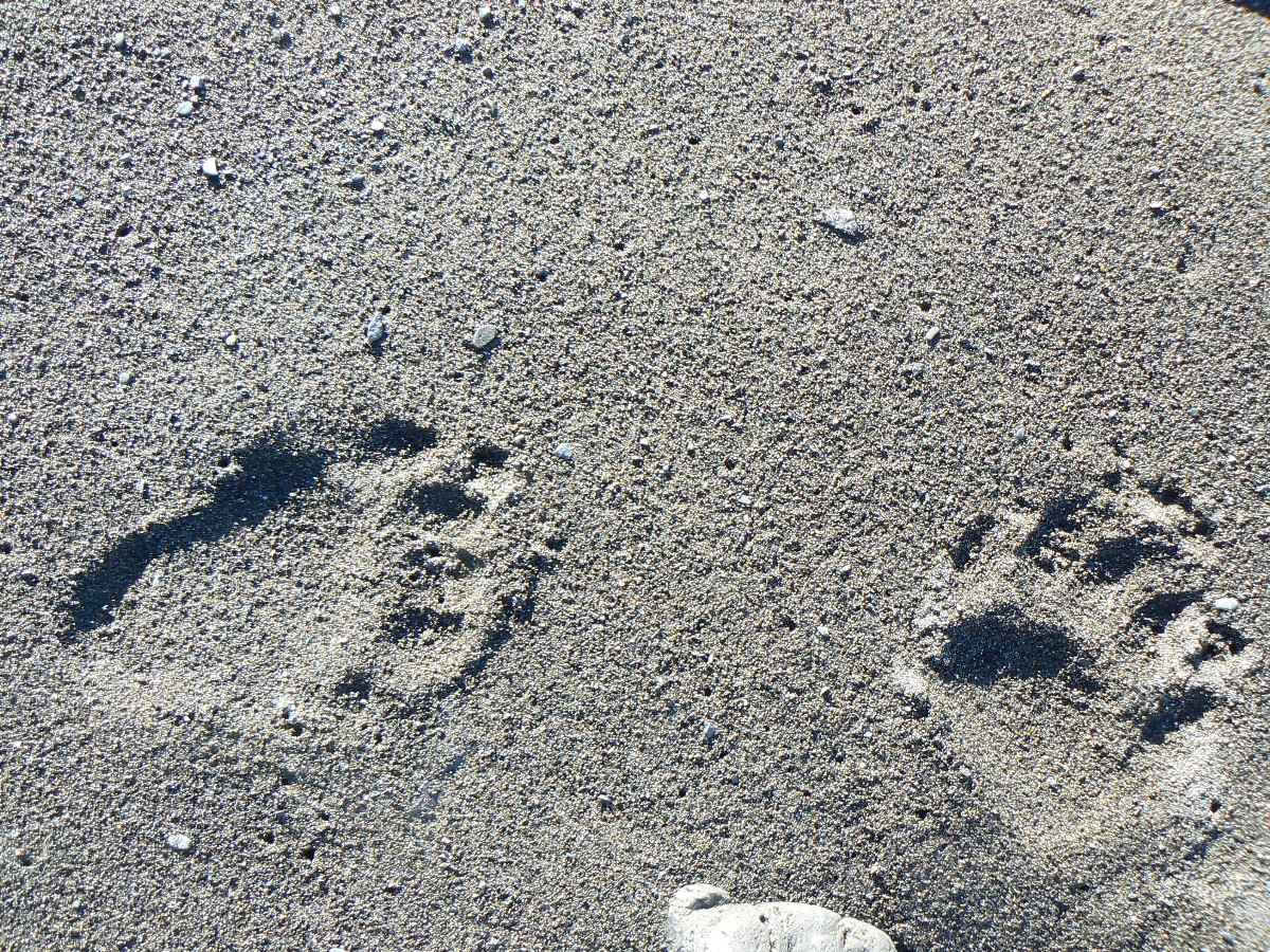
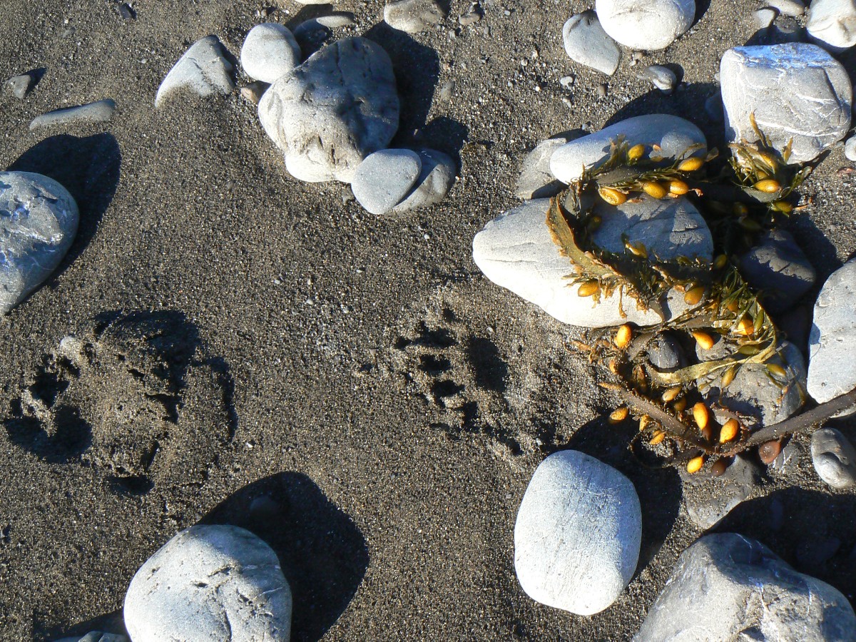
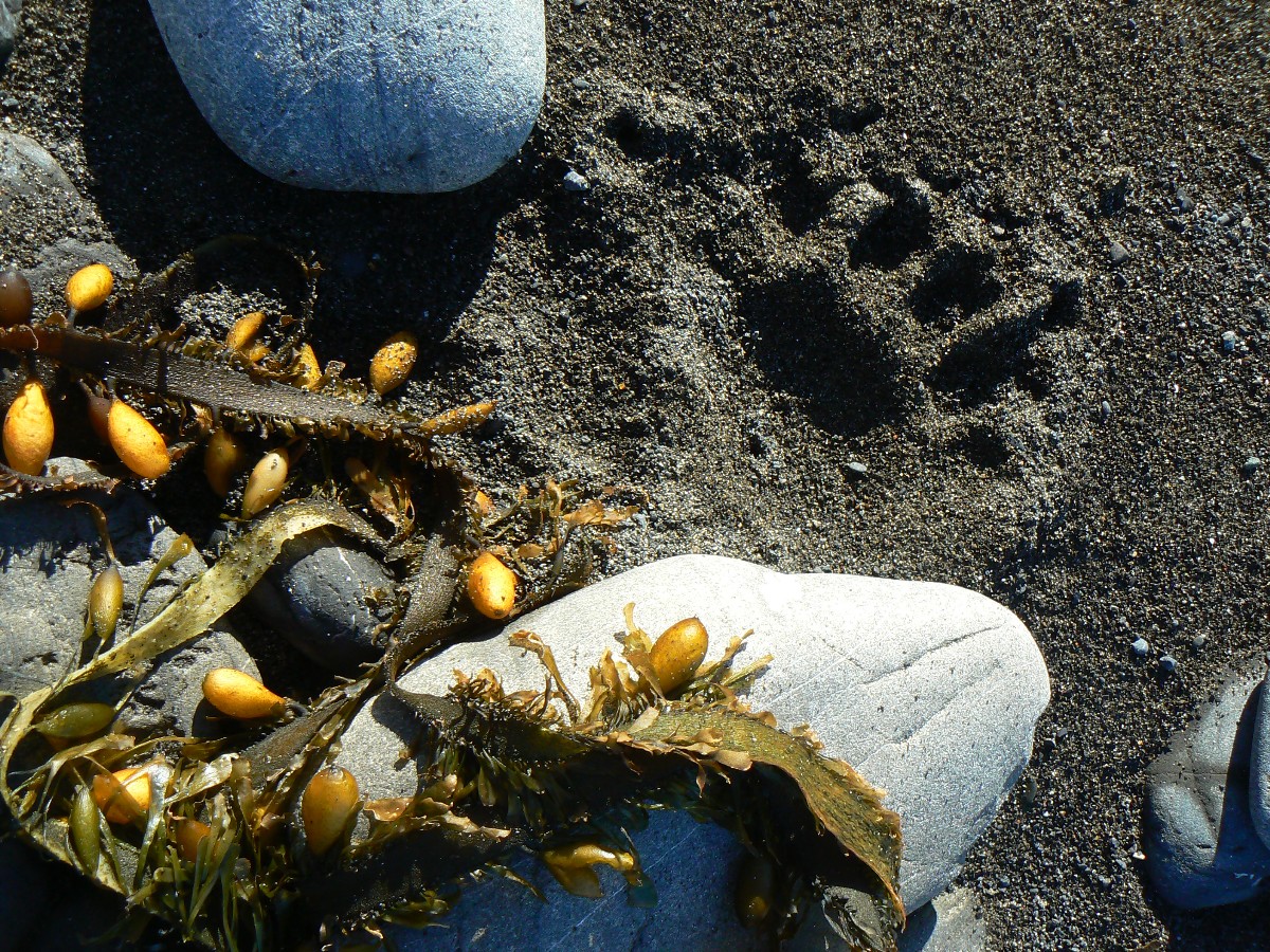
Crawling out of the tent I go to retrieve the bear can, stopping with a lurch when I
see it's been knocked over. What? Taking a bit more care, I take it back to Margaritaville, stepping carefully.
Boufous Bear has been here - walking through and around camp, passing within a few feet of the tents. Getting my
camera, I follow Boufous and see he has walked a circuit of the shelters and camps, then back via a beach stroll,
crossing what appear to be turtle tracks deep in the black sand. Ursus arctos horribilis? No, while featured
prominently on the state flag, the Grizz has long been extinct in California. Too many people. Not enough bears.
Most likely, it's the Boufous Bear, Ursus Americanus, the American Black Bear. As you know, Grizz and boufous tracks
are easily distinguished - by the distance between toe and end of nail. Many years ago, while canoeing around a
bluff in Yellowstone's Shoshone Lake to silently watch a Grizz decimate a rotting log, planks of wood flying through
the air, I thought about those long Grizz toenails, that huge hump of muscle that gives the Grizz its distinctive
silhouette. Definitely Boufous, and definitely comforting to know there are bears about, adding some wilderness
seasoning and feelings of soliphilia to this lovely landscape, in this horribly crowded state.
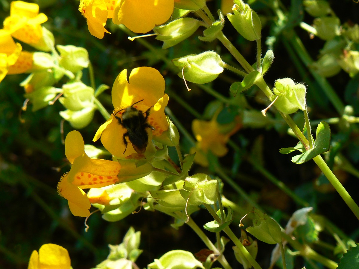
A bit of fog rolls in, yet we escape most of it as we walk below waterfalls
dripping with yellow monkey flowers. The tide is dropping, yet nearly not fast enough as I dash around a
rock nose between swells. It's fairly easy going for the first 2 miles or so, then gravel and poorly consolidated
sand make this the most difficult part of this tour. It's tempting to walk the wet beach - yet the waves get my
feet wet a couple of times. It's warm enough for shorts and t-shirt.
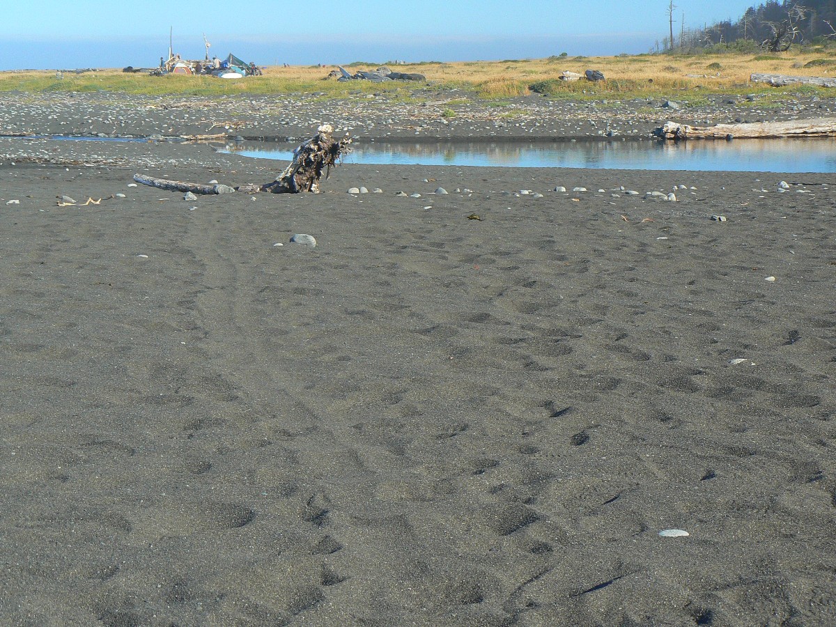
Too many people crowd the remaining camps. It's a gorgeous day to finish tracking
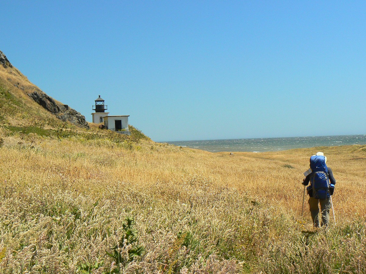
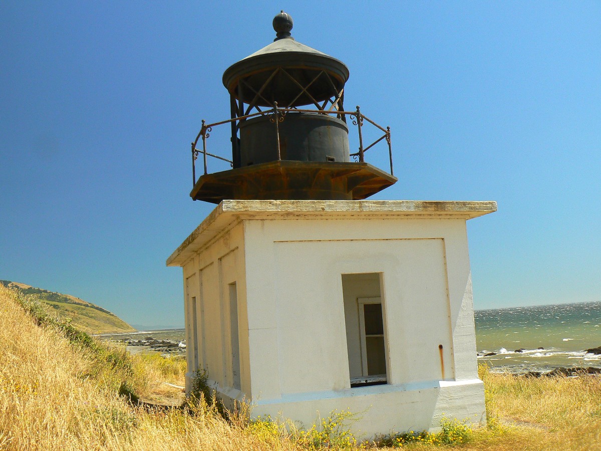
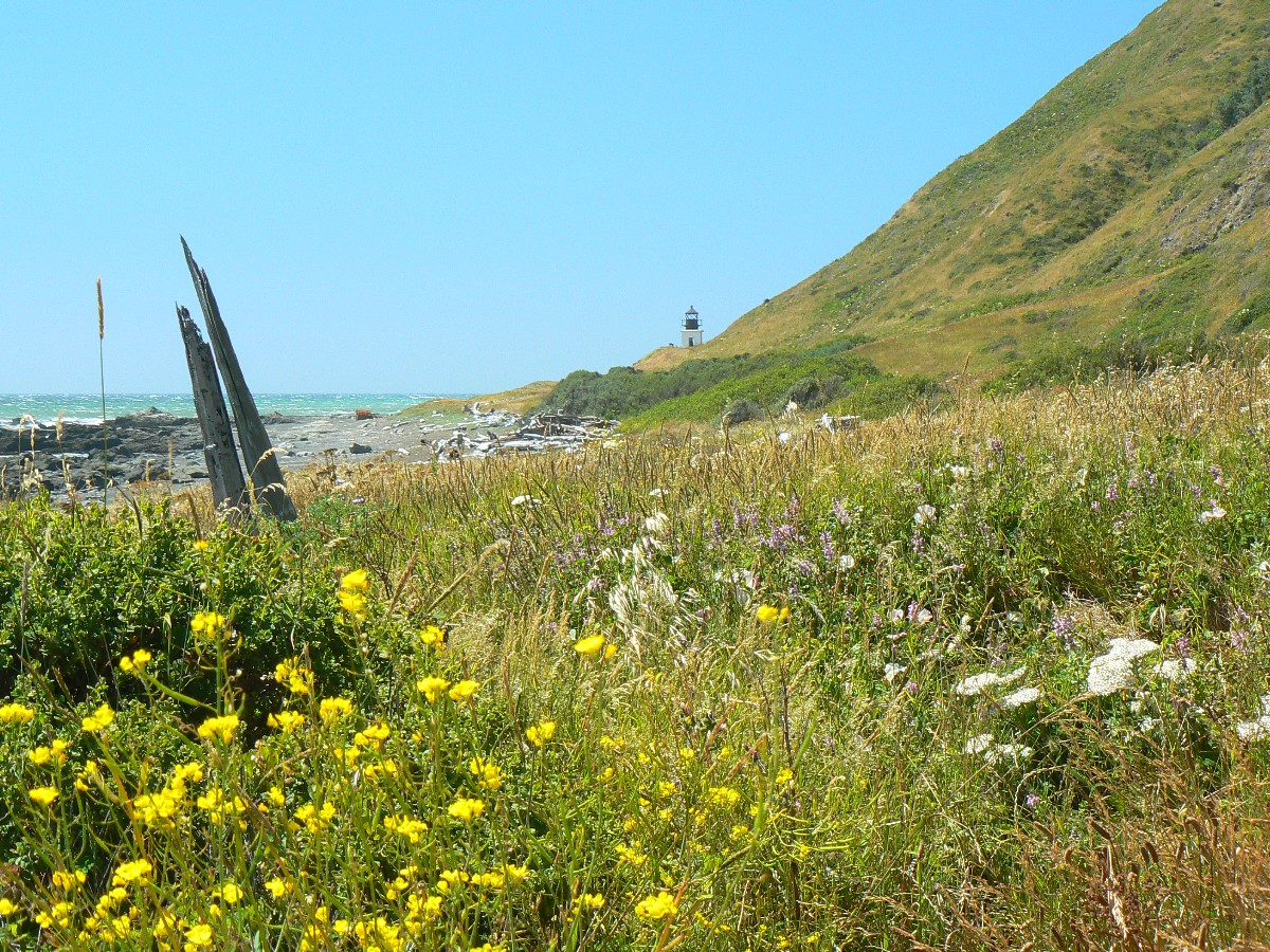
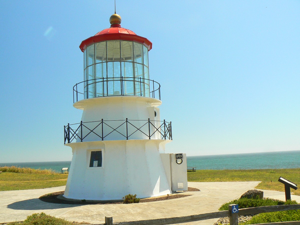
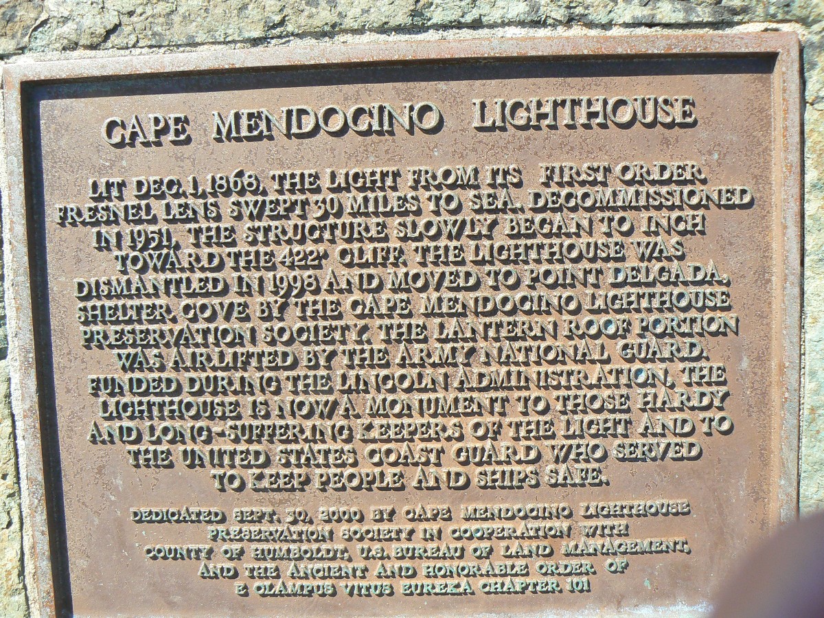
the coast, sunny with little wind. Soon, we're touring the (moved to Shelter Cove) Mendocino Lighthouse. Returning
to base camp near Whale Gulch, Blu informs us that big rains are expected to play havoc with our plans for the
Sinkyone Wild section. Stay tuned.
| ||||
 |
 |
 |
 |
 |
 |
 |
 |
 |
 |
 |
 |
 |
 |
 |
 |
 |
 |
 |
 |
 |
| ||||
![]() Map - Click here to go to the Sinkyone
Wilderness State Park map (pdf).
Map - Click here to go to the Sinkyone
Wilderness State Park map (pdf).
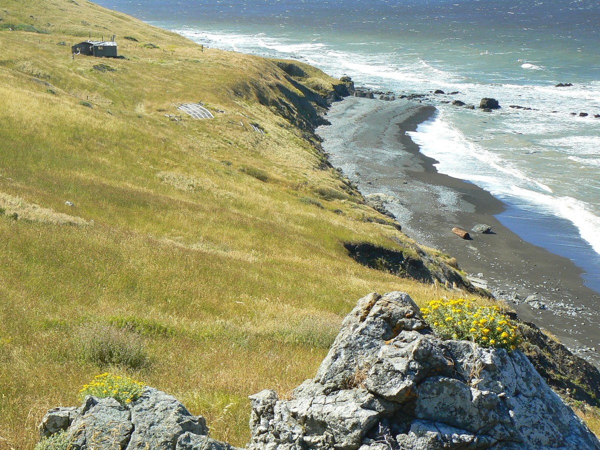
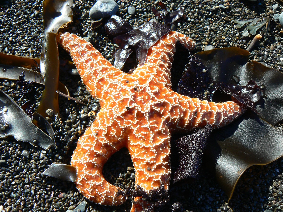
Day 5: Sinkyone Sampler:
Orchard Camp to Wheeler Beach (about 10 miles, with 2400' elevation change).
The Brown Pelican, a bit ungainly in flight, pokes out her feet as her wings
shoot back. A stall. Over the outlet of Jackass Creek at Wheeler Beach. A graceful turn to port and she plunges
into the Pacific. Lunch time. For Bob and me too. We've walked through vestige groves of Redwood and tall fir,
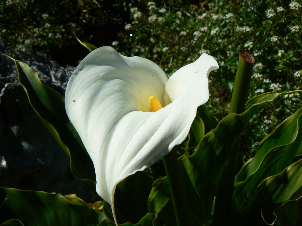
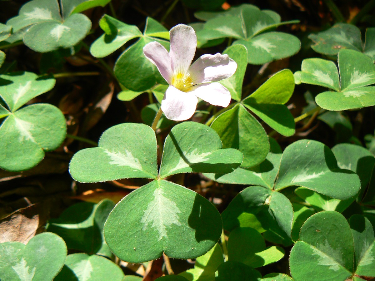
crunched on invasive Eucalyptus leaves, been assaulted by blackberry and stinging nettle thorns, marveled at shamrock
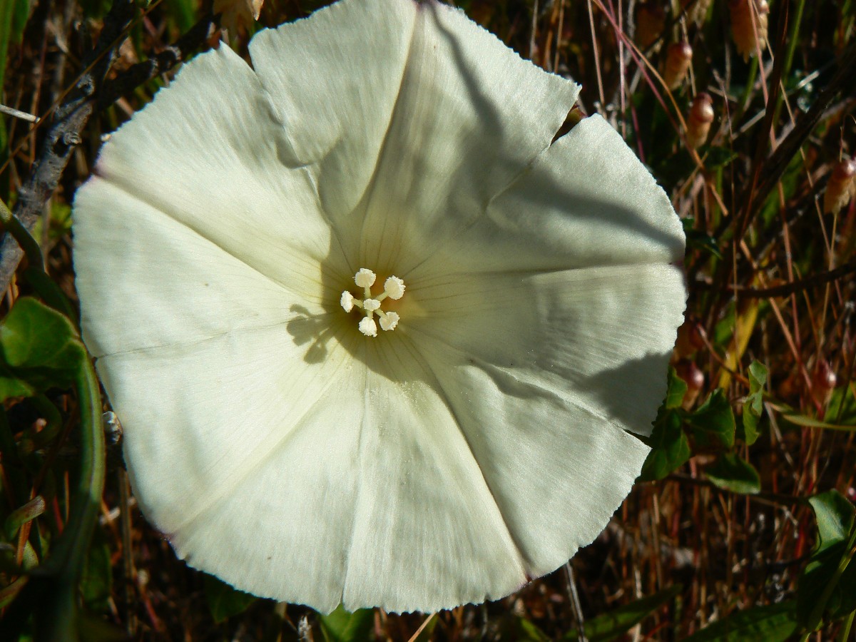
plants (Redwood Sorel), columbine, honeysuckle, Calla Lily, etc. and walked many rolling miles of dark forest
punctuated by open grass slopes and cliffs and occasional ocean vistas. Diversity.
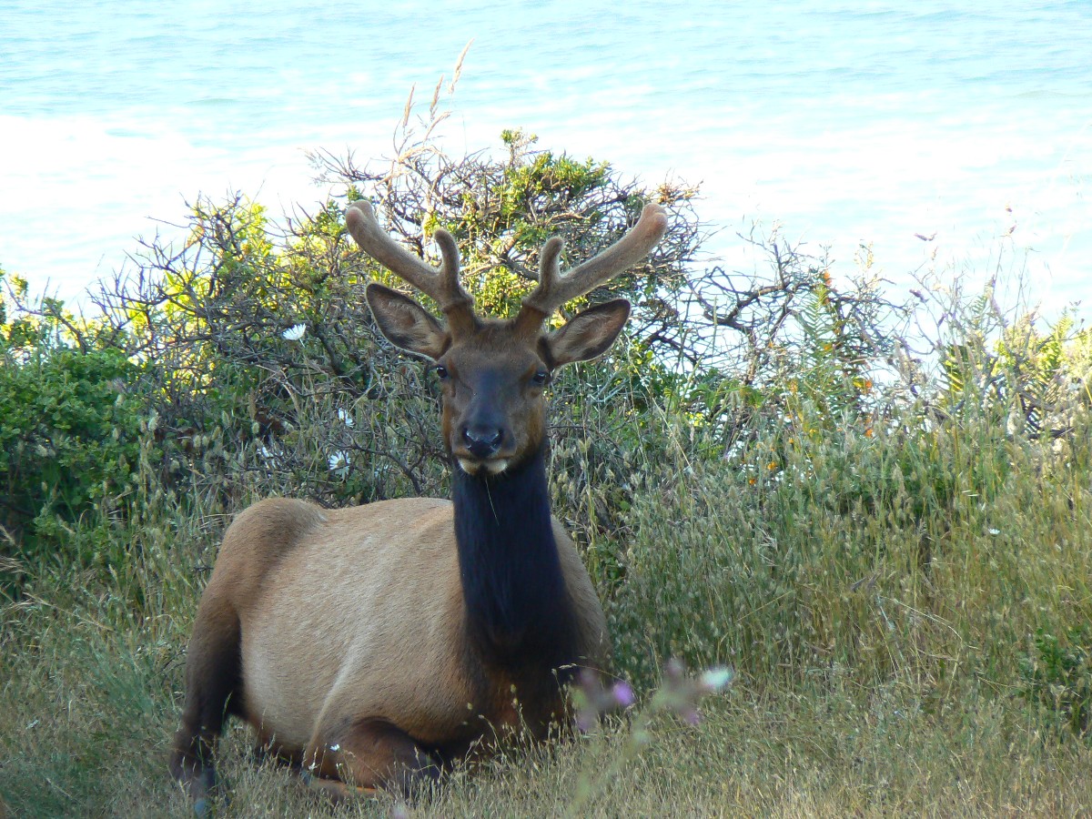
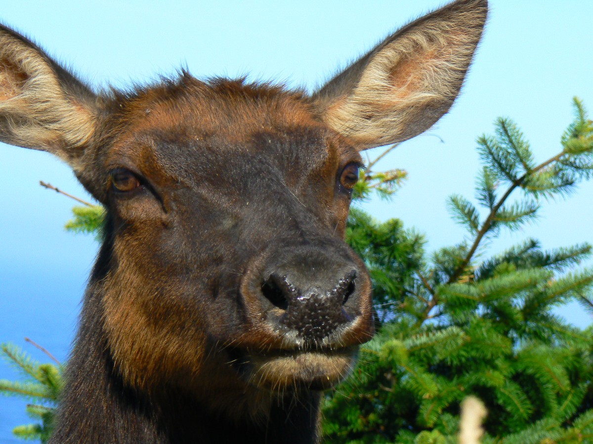
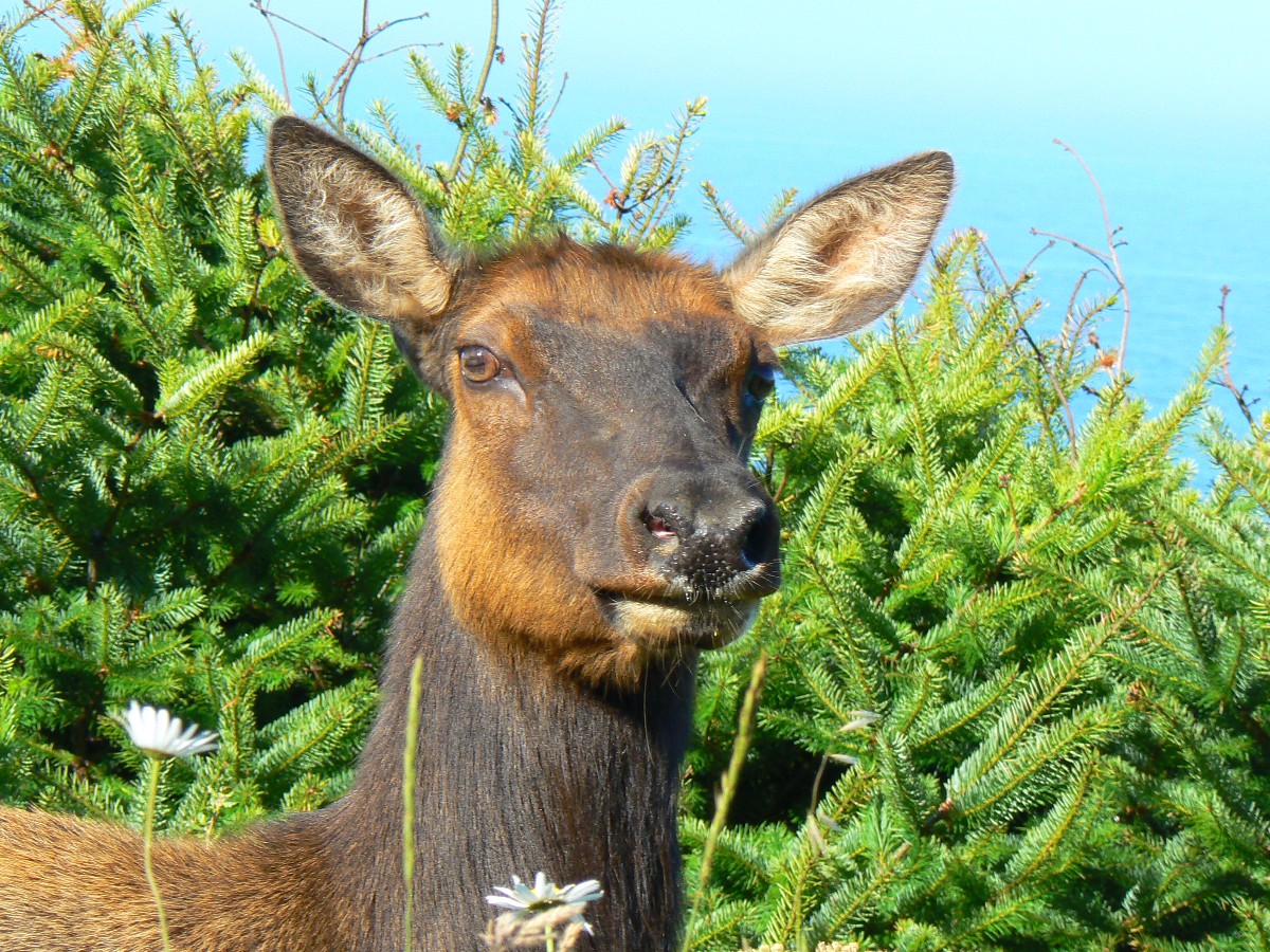
Roosevelt Elk lounge in belly deep grass near the entrance road, velvet antler bulls
consorting with cow elk and vaguely spotted calves. Some say they are larger than the huge Rocky Mountain Elk of
my home area - is this so?
We're day hiking a sampler of California coastal features and ocean beach, cliffs,
dark forest, grassland. Quiet today, an excellent example of how honored land can return from crushing abuse by
timber and other extractors. In old photos from one of Blu's books, one can see the Jackass beach area was once
clogged with a timber operation, and virtually no vegetation remained. Its current condition provides a contrast
to what happens to land beset by burgeoning population hoard. Geometric progression to doom? Certainly, we and
developing countries will have to adopt a different, kinder, course, hopefully learning from the unsustainable greed
of the U.S. Privatize gain and socialize loss, say the republicans. Hooray for the few who acted to save a few kernels
of old growth, who had the vision to see the land as valuable when not stacked up like a log deck, like a commodity.
Is wilderness travel a commodity? Maybe so, yet an eminently more sustainable one than producing more babies or
cutting old growth forest.
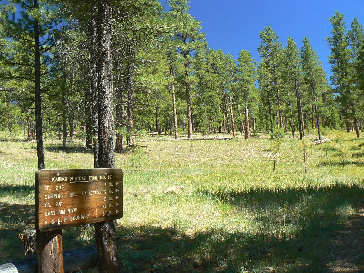
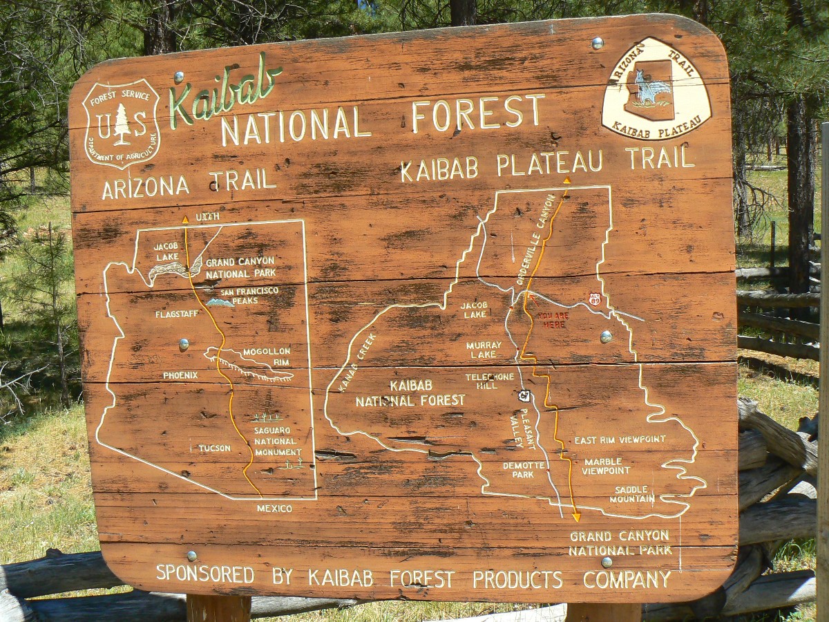
Stopping for a driving break at the Arizona Trail TH near Jacob Lake, I am engulfed
in the aroma of vanilla crispness emanating from the Ponderosa forest. Ahh, home again, yet savoring memories of
the whispering and crashing waters of the Loquacious Lost Coast & Sinkyone Sampler.
 |
 |
 |
 |
 |
 |
 |
 |
 |
 |
 |
 |
 |
 |
 |
 |
 |
 |
 |
 |
 |
 |
 |
 |
 |
 |
 |
 |
 |
 |
.
.
Lost Coast Adventure Tours - contact Blu for a shuttle or a trip
BLM site - King Range NCA, the Lost Coast
Sinkyone Wilderness State Park site
Border Bifurcation - Bicycle Touring: Self-contained loopo of Northern Arizona and Southern Utah
John Muir Trail – Hiking the Jaunty Juggernaut: Happy Isles in Yosemite Valley to Whitney Portal
| ||||
for a full-resolution map, click here. Caution - do not use this map or gps track for navigating the route.
| ||||
![]() Map - Click here to go to the Sinkyone
Wilderness State Park map (pdf).
Map - Click here to go to the Sinkyone
Wilderness State Park map (pdf).
Click here to: see a Movie of gentle Lost Coast 8.0 MB.
Click here to: see a Movie of clanking rocks -making sand - 8.5mb.
Our shrinking habitat - where are the Bears represented on the California state flag?
The Jig Is Up: Supplies of oil and gas are running out
We Are Breeding Ourselves to Extinction (click here for full article) or at:
Breeding ourselves to extinction?
All measures to thwart the degradation and destruction of our ecosystem will be useless if we do not cut population growth. By 2050, if we continue to reproduce at the current rate, the planet will have between 8 billion and 10 billion people, according to a recent U.N. forecast. This is a 50 percent increase. And yet government-commissioned reviews, such as the Stern report in Britain, do not mention the word population. Books and documentaries that deal with the climate crisis, including Al Gore’s “An Inconvenient Truth,” fail to discuss the danger of population growth. This omission is odd, given that a doubling in population, even if we cut back on the use of fossil fuels, shut down all our coal-burning power plants and build seas of wind turbines, will plunge us into an age of extinction and desolation unseen since the end of the Mesozoic era, 65 million years ago, when the dinosaurs disappeared.
We are experiencing an accelerated obliteration of the planet’s life-forms—an estimated 8,760 species die off per year—because, simply put, there are too many people. Most of these extinctions are the direct result of the expanding need for energy, housing, food and other resources. The Yangtze River dolphin, Atlantic gray whale, West African black rhino, Merriam’s elk, California grizzly bear, silver trout, blue pike and dusky seaside sparrow are all victims of human overpopulation. Population growth, as E.O. Wilson says, is “the monster on the land.” Species are vanishing at a rate of a hundred to a thousand times faster than they did before the arrival of humans. If the current rate of extinction continues, Homo sapiens will be one of the few life-forms left on the planet, its members scrambling violently among themselves for water, food, fossil fuels and perhaps air until they too disappear. Humanity, Wilson says, is leaving the Cenozoic, the age of mammals, and entering the Eremozoic—the era of solitude. As long as the Earth is viewed as the personal property of the human race, a belief embraced by everyone from born-again Christians to Marxists to free-market economists, we are destined to soon inhabit a biological wasteland.
 |
 |
 |
| ||||
 |
 |
 |
The Atlantic notes about the below graph:
Based on data from the Congressional Budget Office and the
Center on Budget and Policy Priorities.
Its significance is not partisan (who's "to blame" for the deficit) but intellectual. It demonstrates the
utter incoherence of being very concerned about a structural federal deficit but ruling out of consideration
the policy that was largest single contributor to that deficit, namely the Bush-era tax cuts.
| ||||
| ||||
|
Wild Vagabond Main |
Trip Report Index  |
Caveat  |
|---|


