| ||||
| ||||
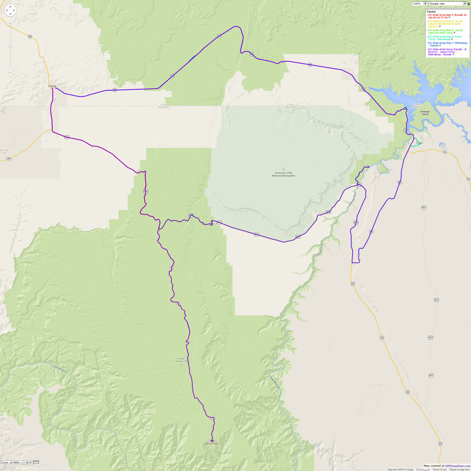
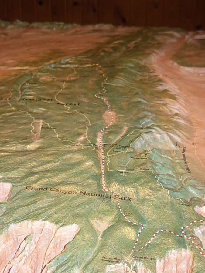
Here is Cheryl's plan for the Border Bifurcation. Cheryl Soshnik produced this excellent draft and we ended up mostly following it.

| ||||
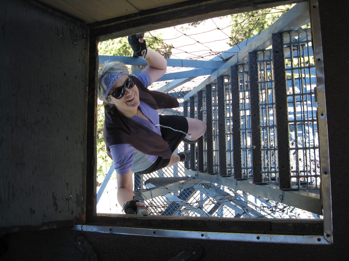
Photos are scattered throughout this report.
Bifurcate - to cause to divide into two branches or parts. This tour was bifurcated
by the Arizona-Utah border, yet only from a jurisdictional view... like the wheels on the bike, the tour goes round
and round, round and round...
Overview: This is a report about a self-contained bike touring loop bifurcating
the Arizona and Utah borders. We members of the Wasatch Mountain Club riding the 7-day loop started our loop in Kanab,
camping at Jacob Lake, the North Rim of the Grand Canyon (2 nights), back to Jacob Lake, Lees Ferry, and Wahweap. Riders
of the 5-day out and back tour returned to Kanab after the second stay at Jacob Lake (total about 164 miles).
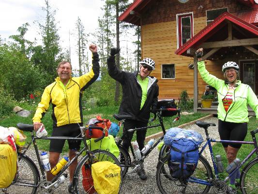
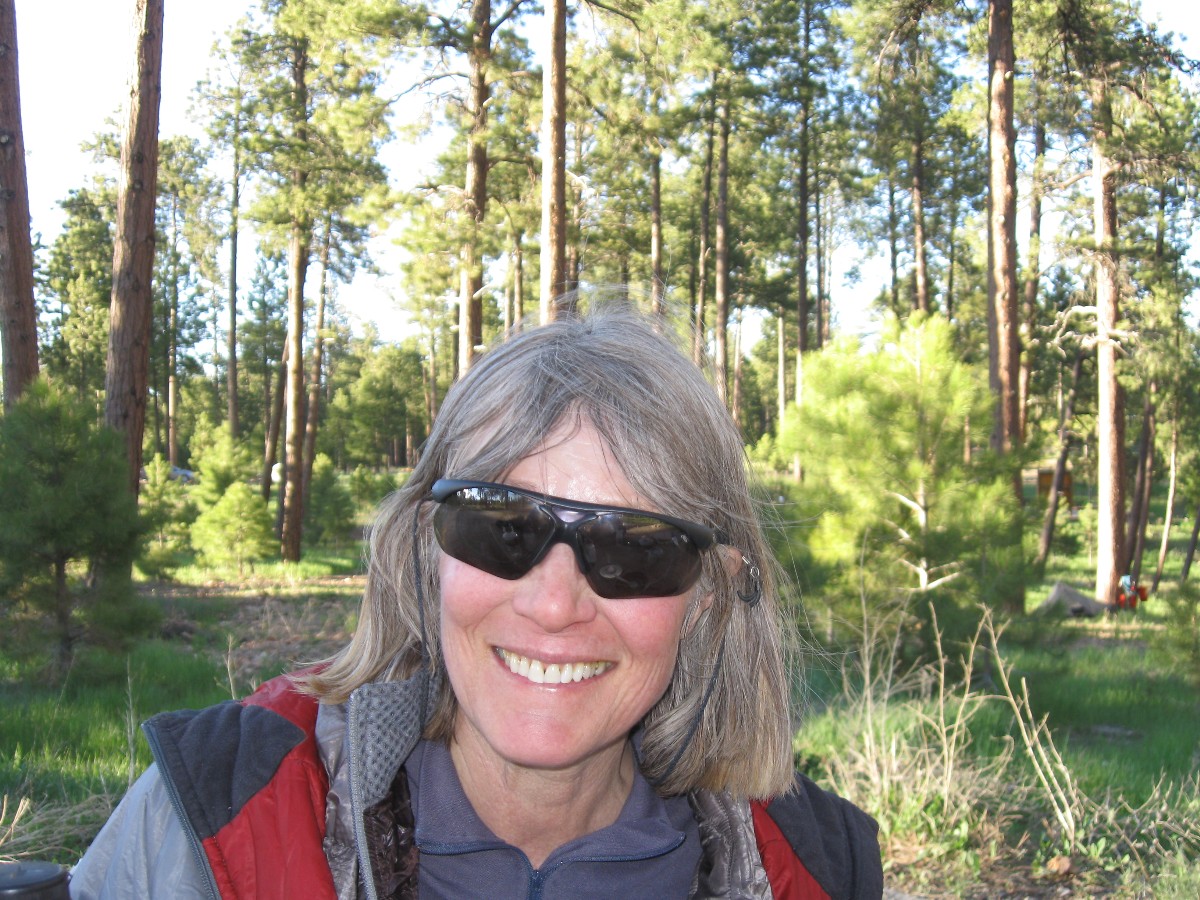
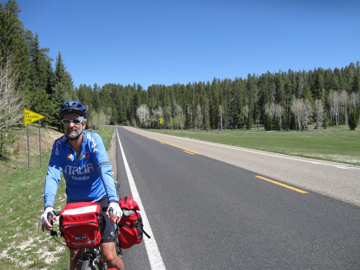
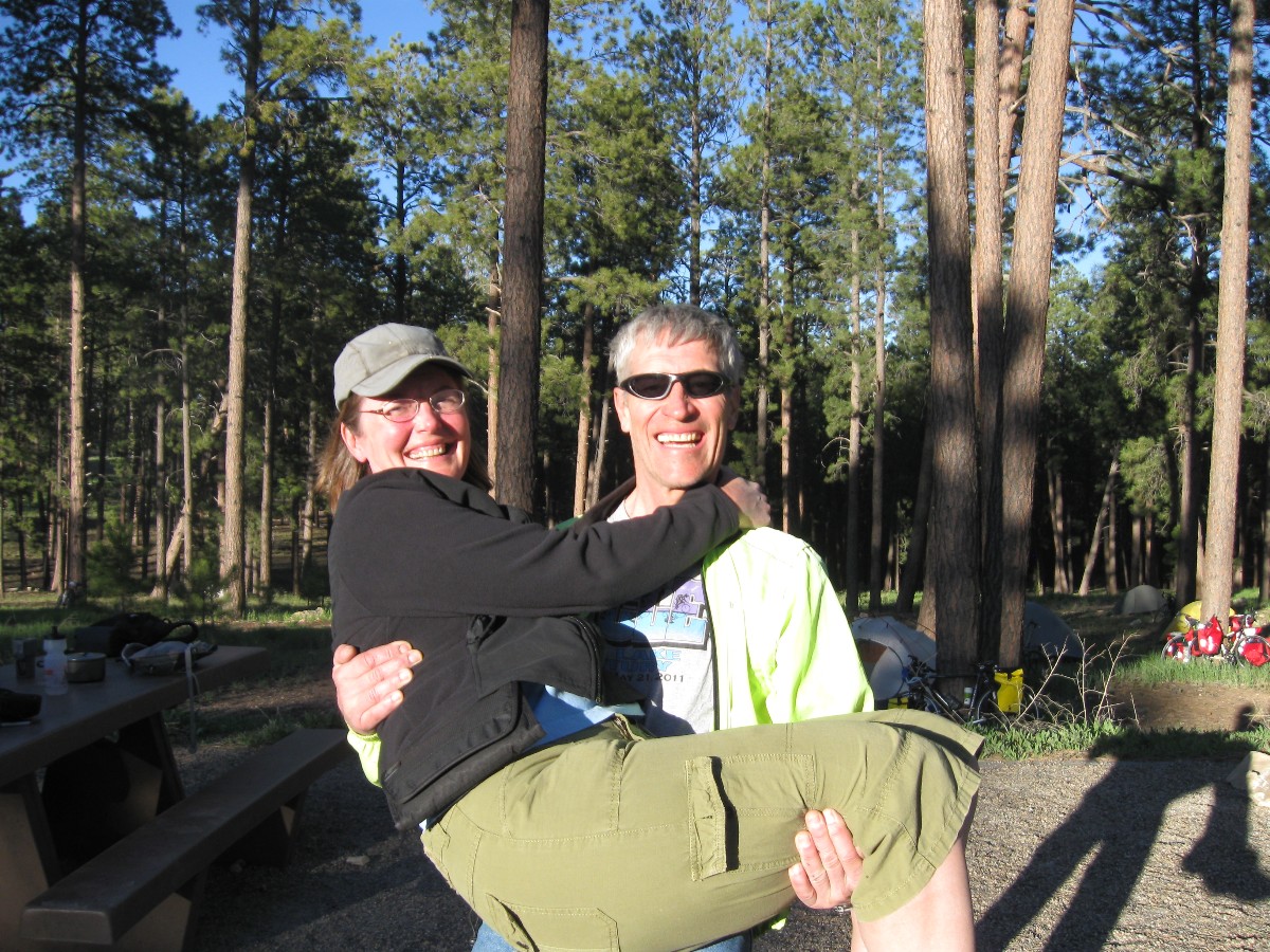
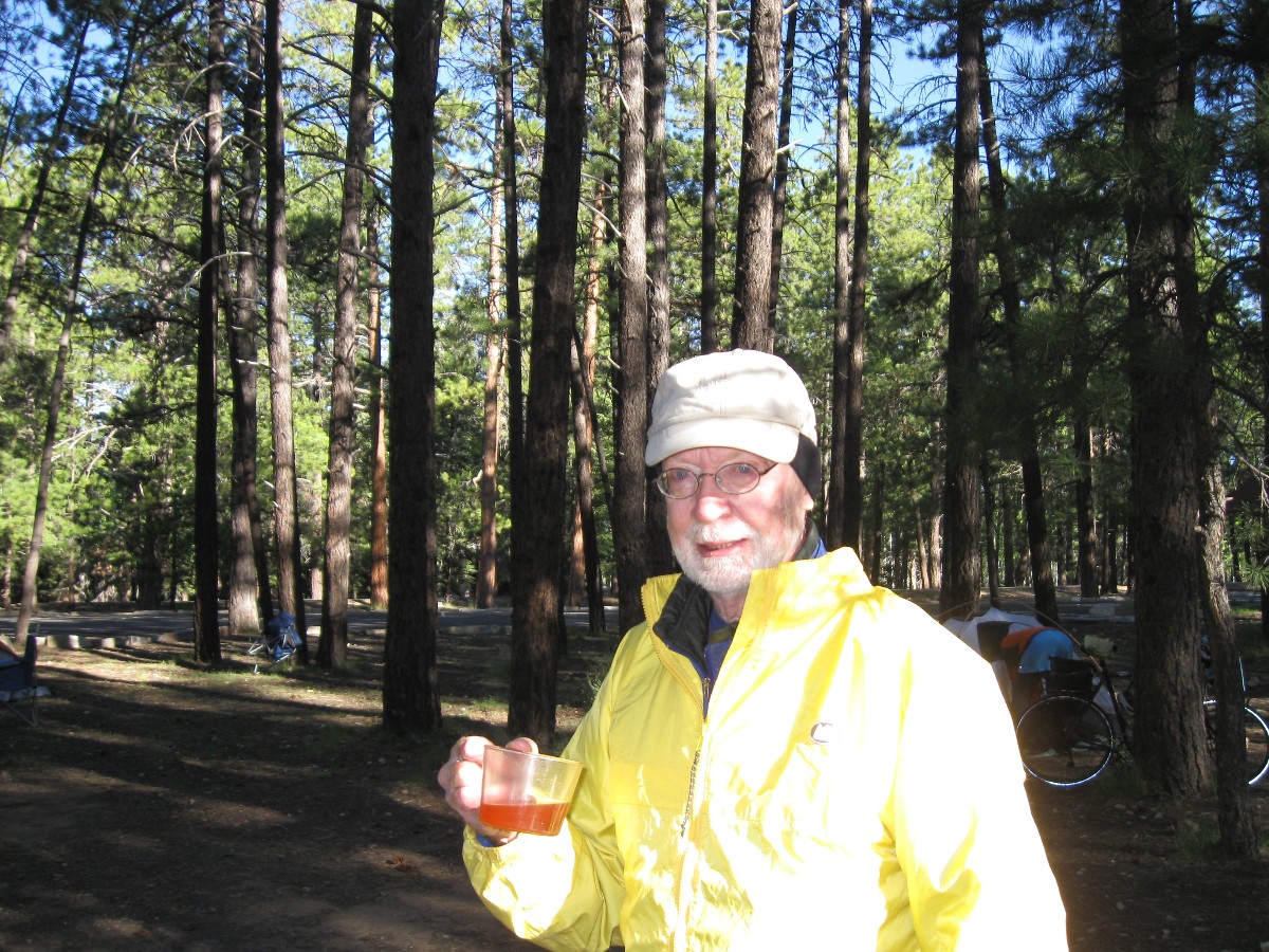
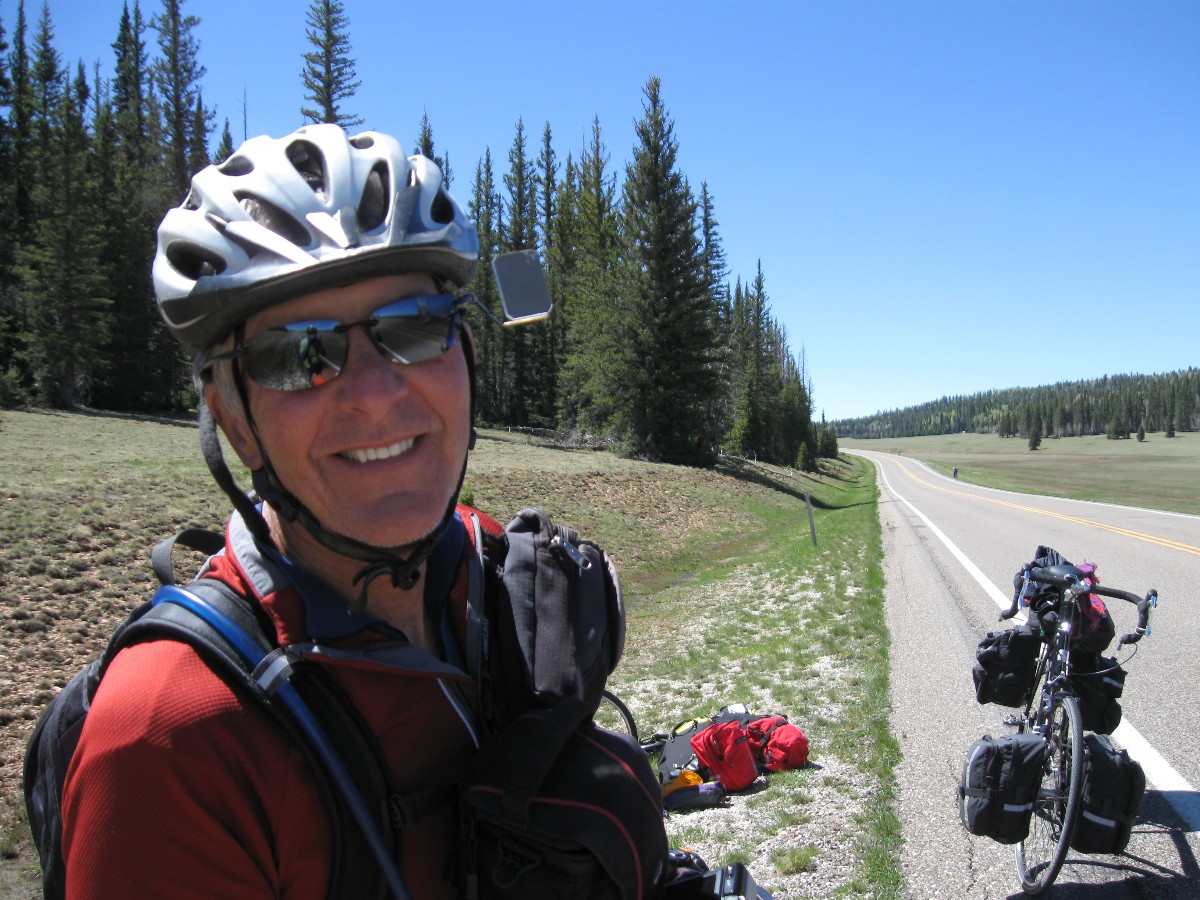
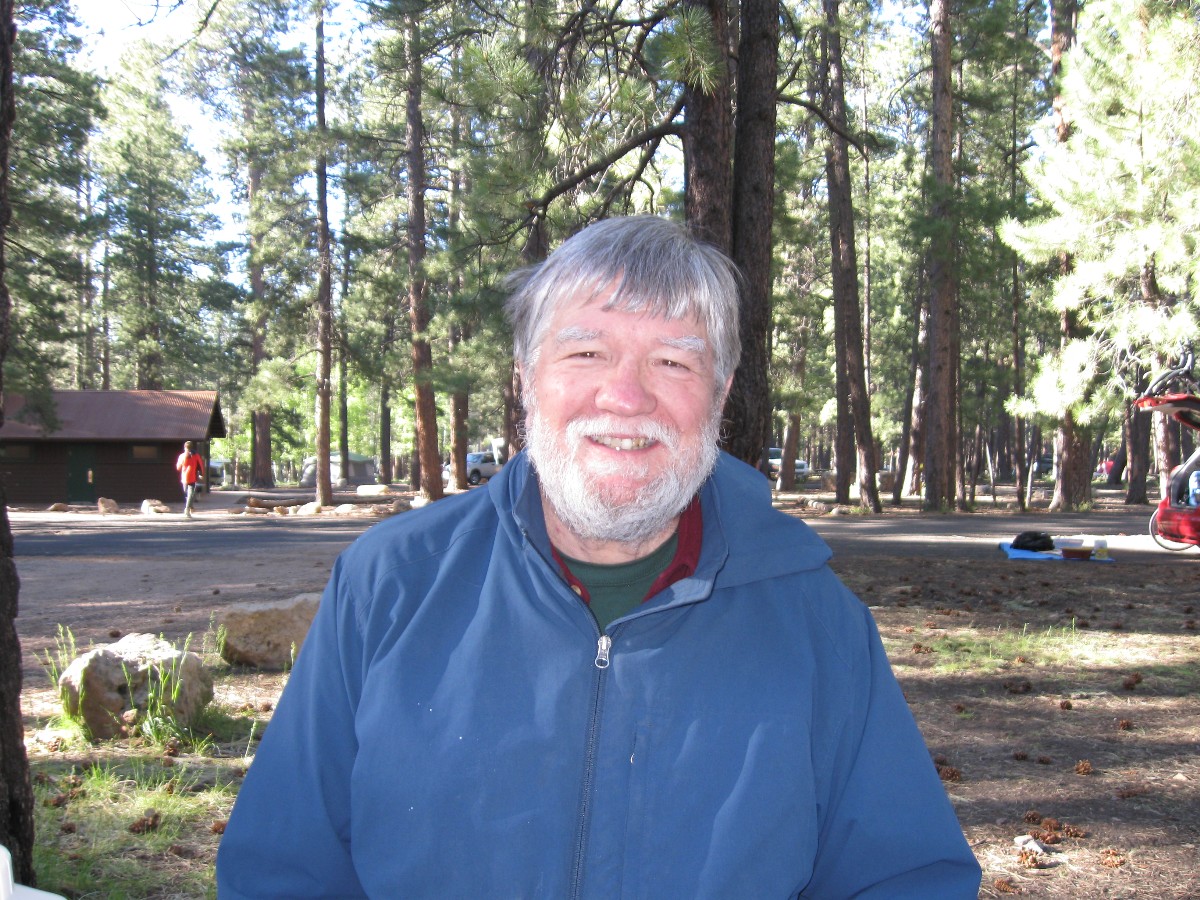
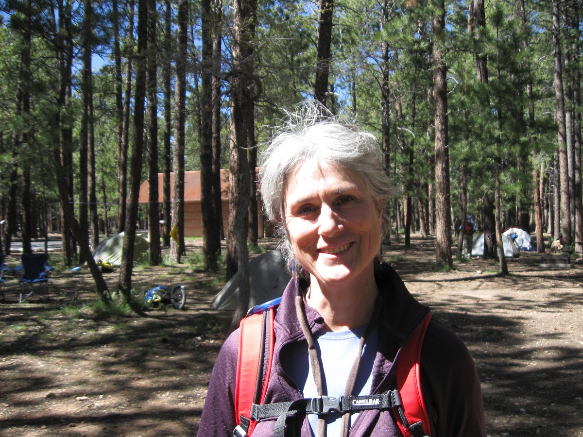
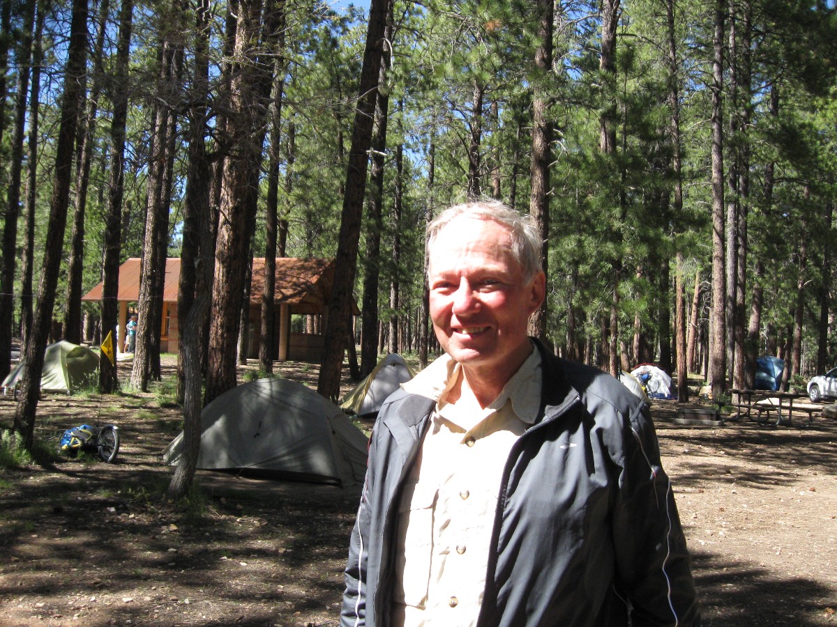
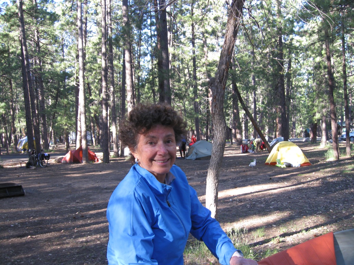
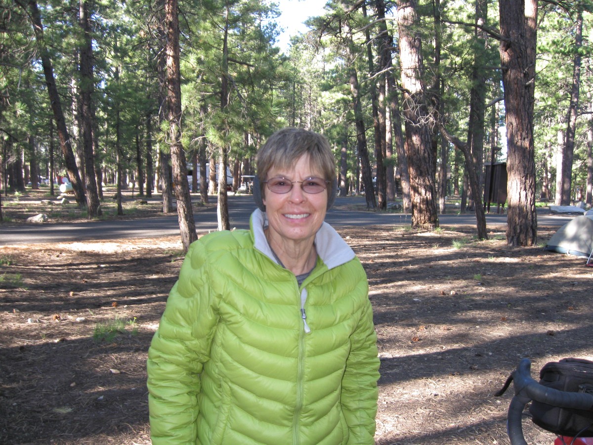
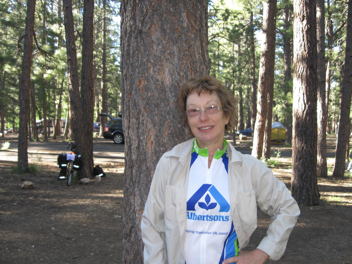
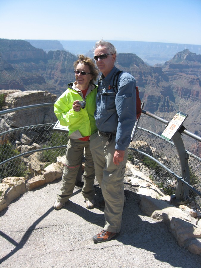
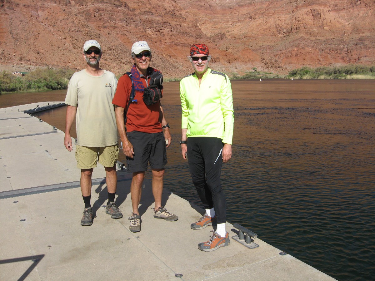
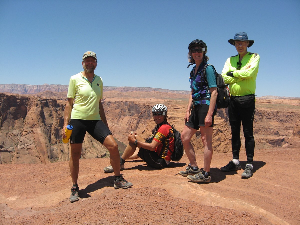
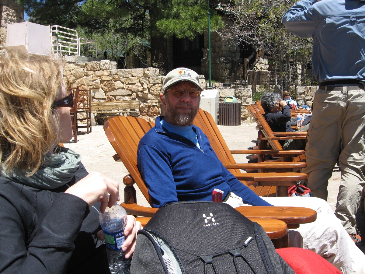
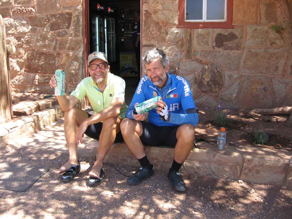
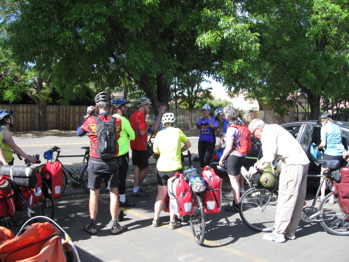
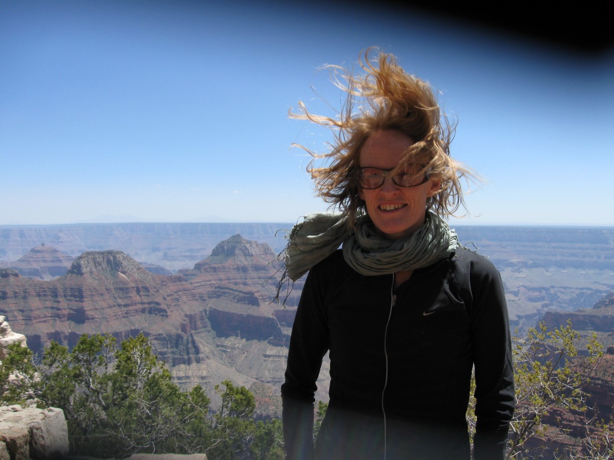
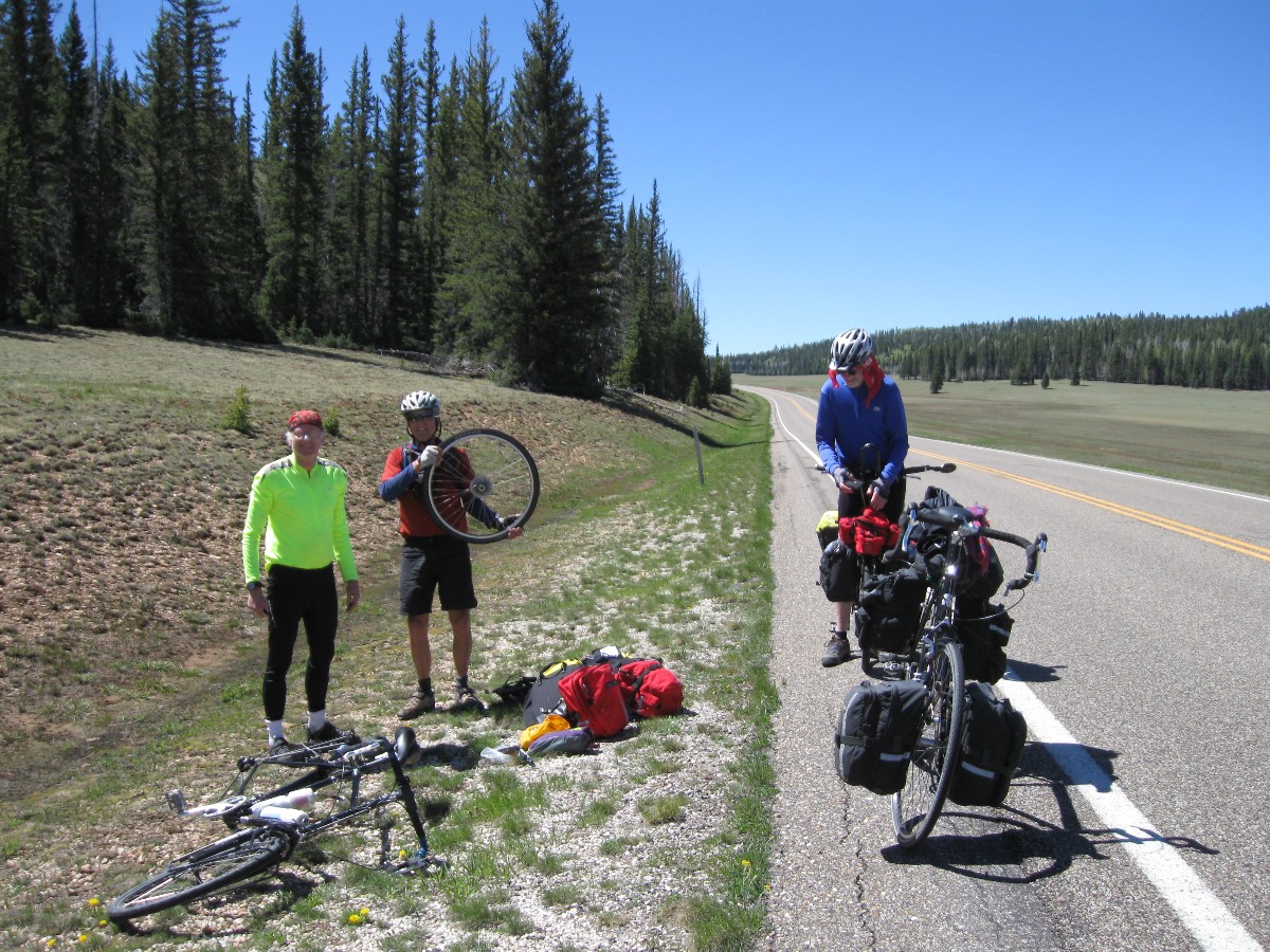
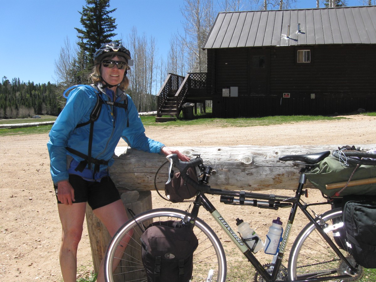
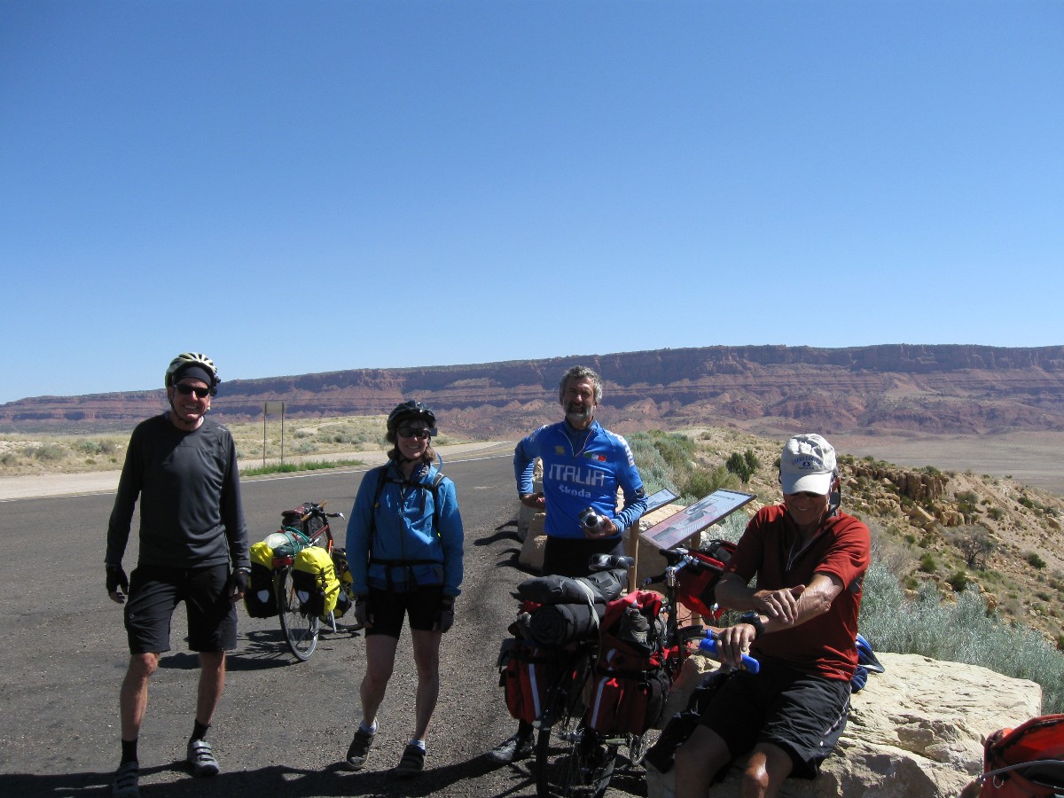
Co-riders: See the first photo series. Cheryl Soshnik (tour organizer), Tricia Lee,
Dave Rumbellow, Carrie Clark, Mark Shipman, Robert Turner, Don and Angie Vincent, Mark McKenzie, Chris Winter, Jim Byrne,
Barb Hanson, Tom Walsh, Patricia Carroll, Paul Stratton, Cynthia Crass, and Rob Jones.
Carrie's narrative : This pannier trip was one of the best ever.
Keep scrolling.
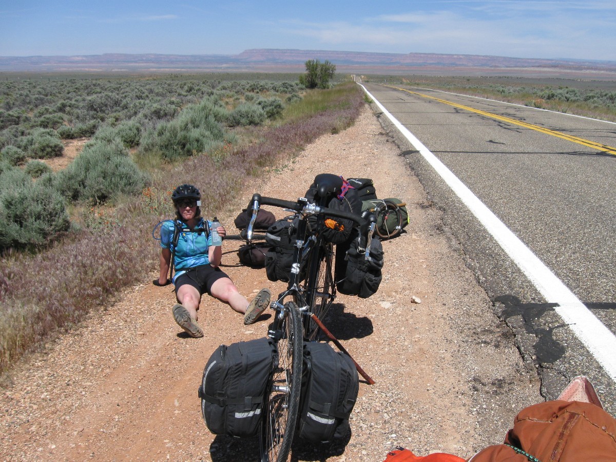
The riding seemed grueling on most days, with 40 mph headwinds. No matter which
way we headed, the winds changed course, so we weren’t rewarded with tailwinds when we reversed directions. But pace
lines, frequent stops to enjoy coffee or read historical signs, and even hand delivery of chocolate milk to exhausted
riders made the ride a delight.
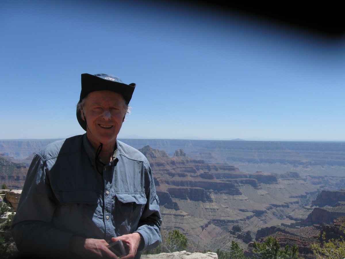
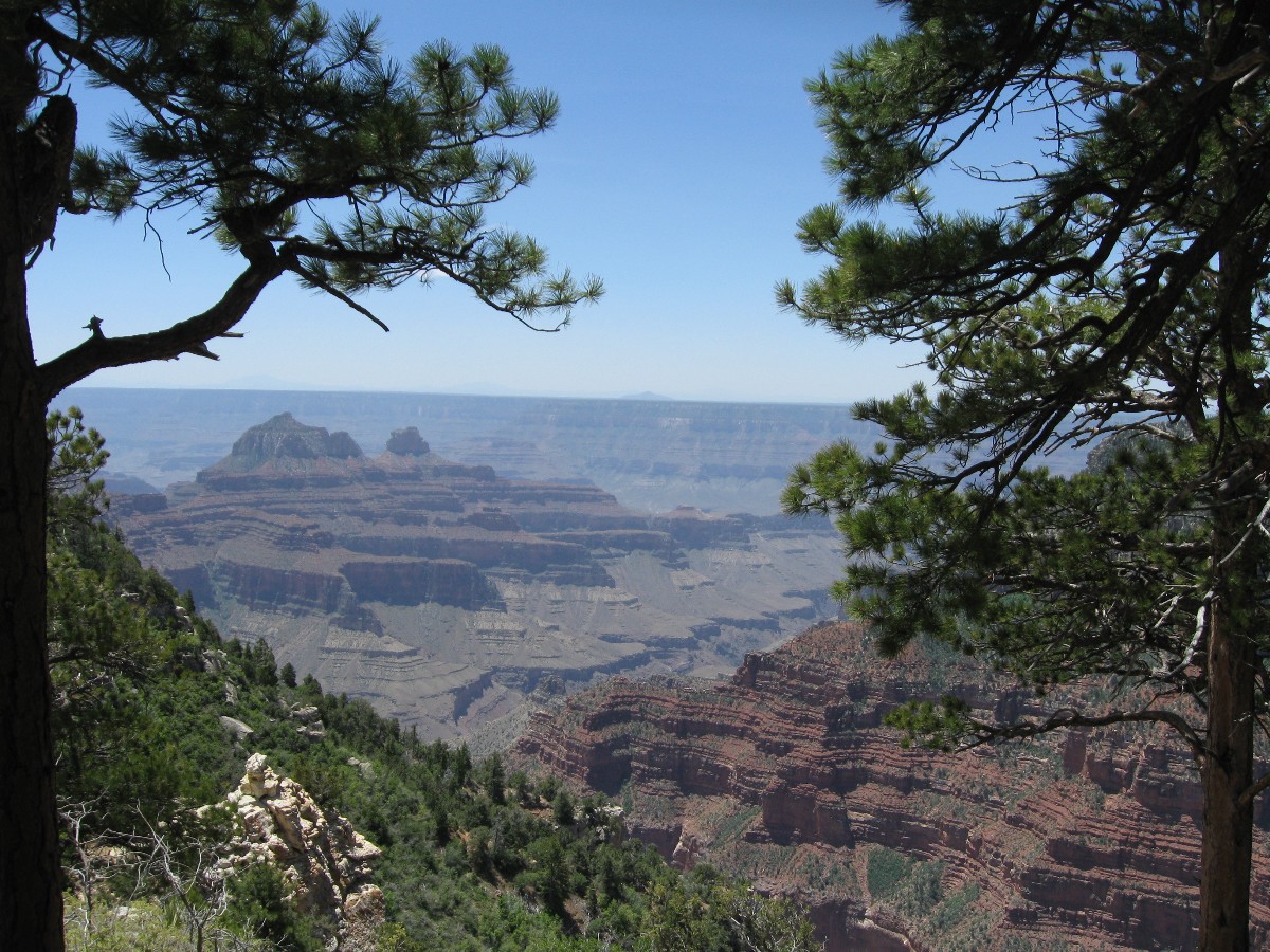
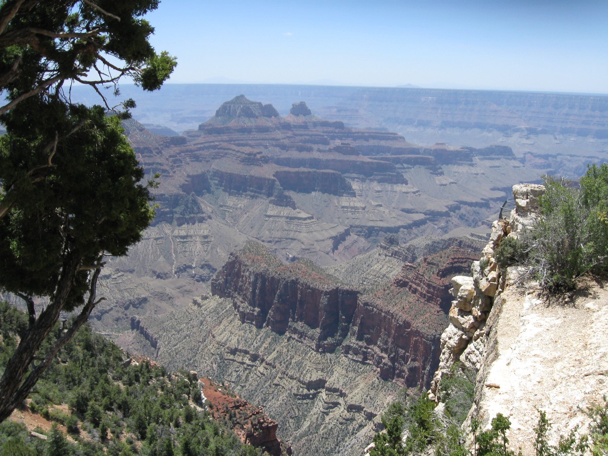
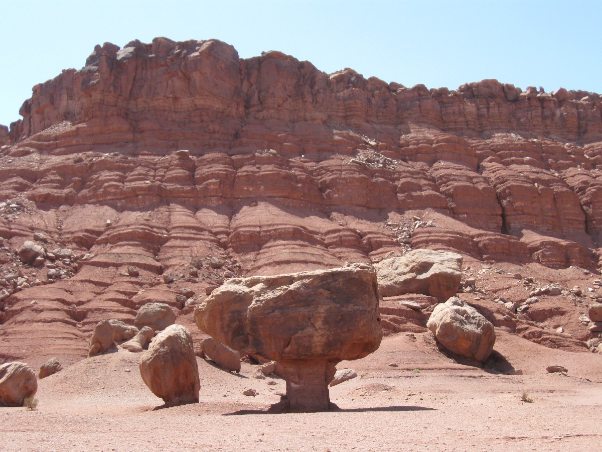
This route sported plenty of variety: high forest at Jacob Lake; dramatic views into
the Grand Canyon; hot, arid desert through the Arizona Strip; fascinating geology of Horseshoe Bend; frigid water at
Lees Ferry. Because it offered so many terrain and temperature changes, there was something for everyone to enjoy!
Best of all, everyone was a good sport. I heard few complaints, except from the
local cops who scolded us and said we should find somewhere else to ride. And a homeless guy emerging from the woods,
garbage sack of belongings in hand, chasing the local girls (oh- just kidding).
Thanks to Cheryl for all the careful planning. I’m eager to find out what adventure
she’ll dream up for next year.
Riders of the 7-day Loop

 |
 |
 |
 |
 |
 |
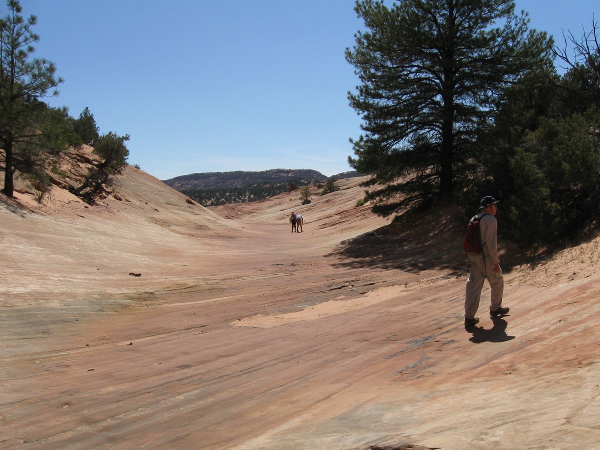
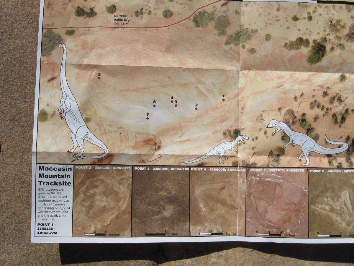
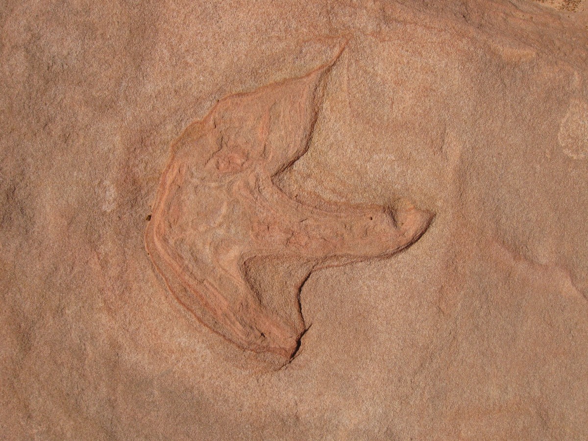
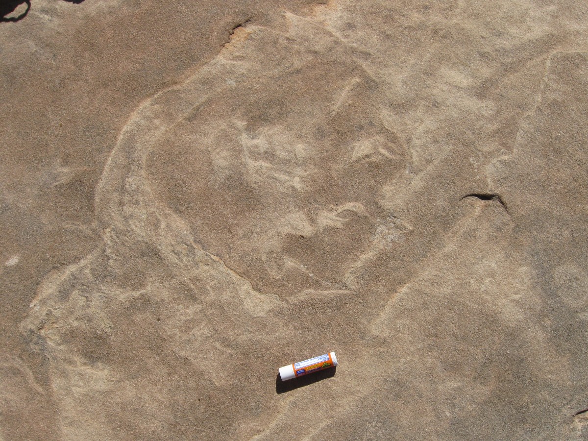
Dino Preliminary. Drive and hike to dino tracks - Coral Pink Sand Dunes State
Park, Utah.
The hearing impairing bellow of the blue smoke hoard obliterates natural quiet.
Noise Park? Yes, a state park sponsoring a host of national security risks - ORVs wasting gas, destroying resources,
being transported by even greater fuel wasters.
Cheryl, Dave, Mark M., and I escape noise park and go to hunt dino tracks - finding
several. Colors meld as the shallow light illuminates the variegated rocks made by time. It's good to see old
friends again.
 |
 |
|
 |
 |
 |
 |
 |
 |
 |
 |
 |
 |
 |
 |
 |
 |
 |
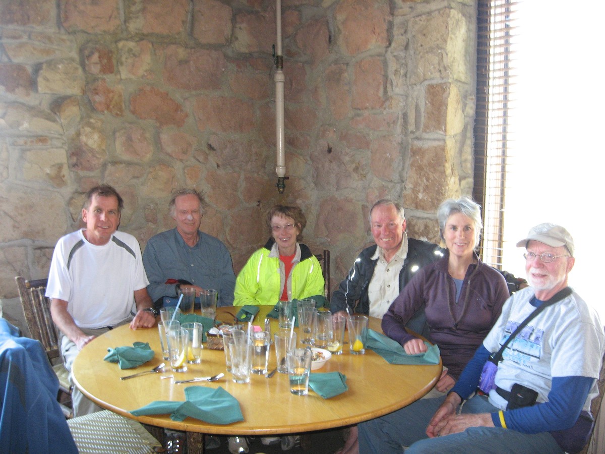 wMark Dave Cindy Paul Patricia Jim Lunch Grand Canyon Lodge by waiter.jpg |
 |
 |
 |
 |
 |
 |
 |
 |
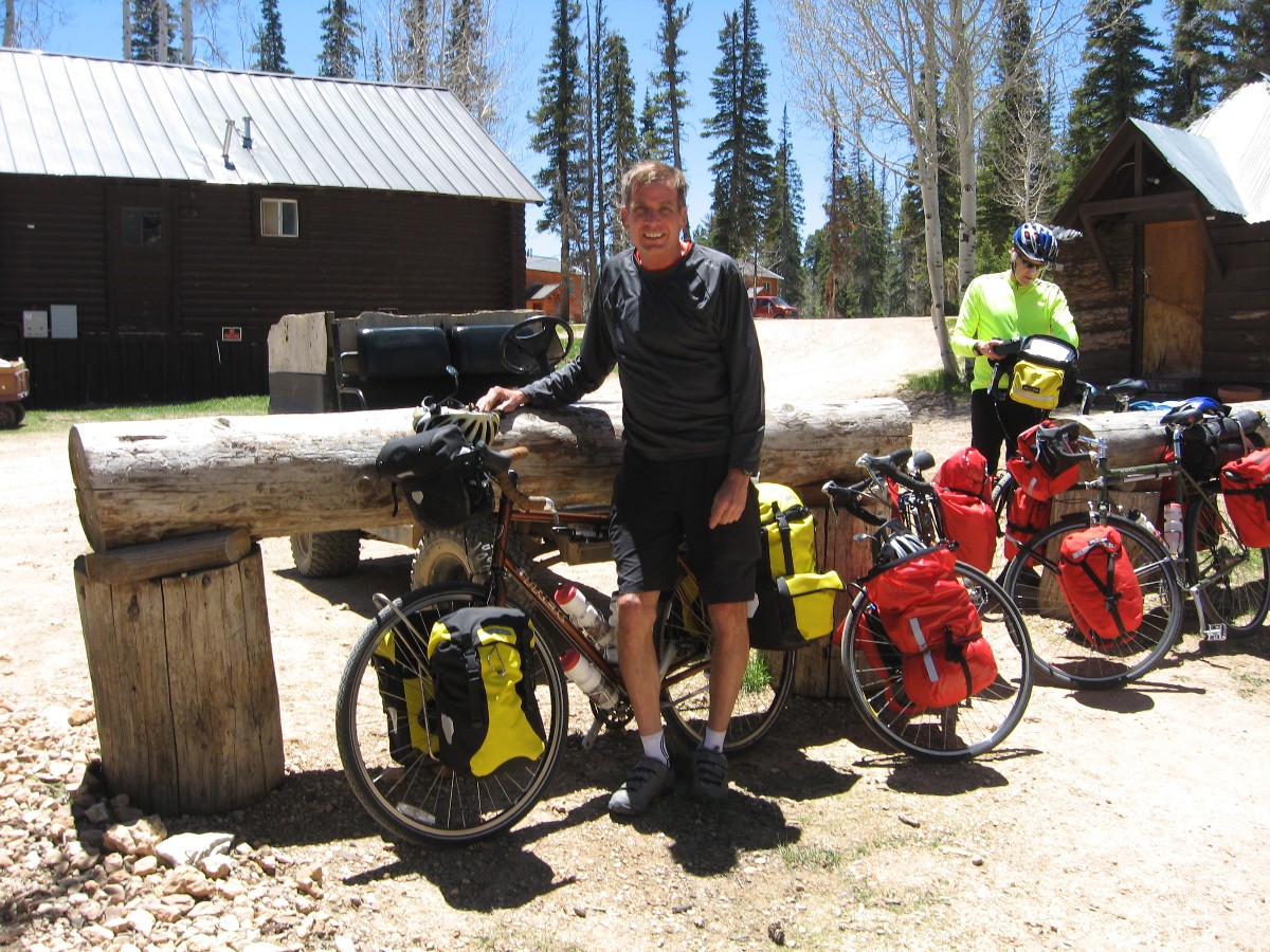
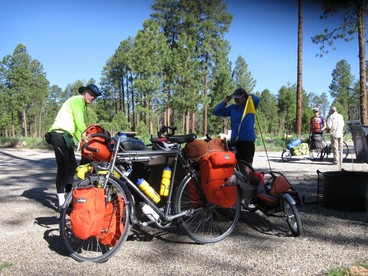
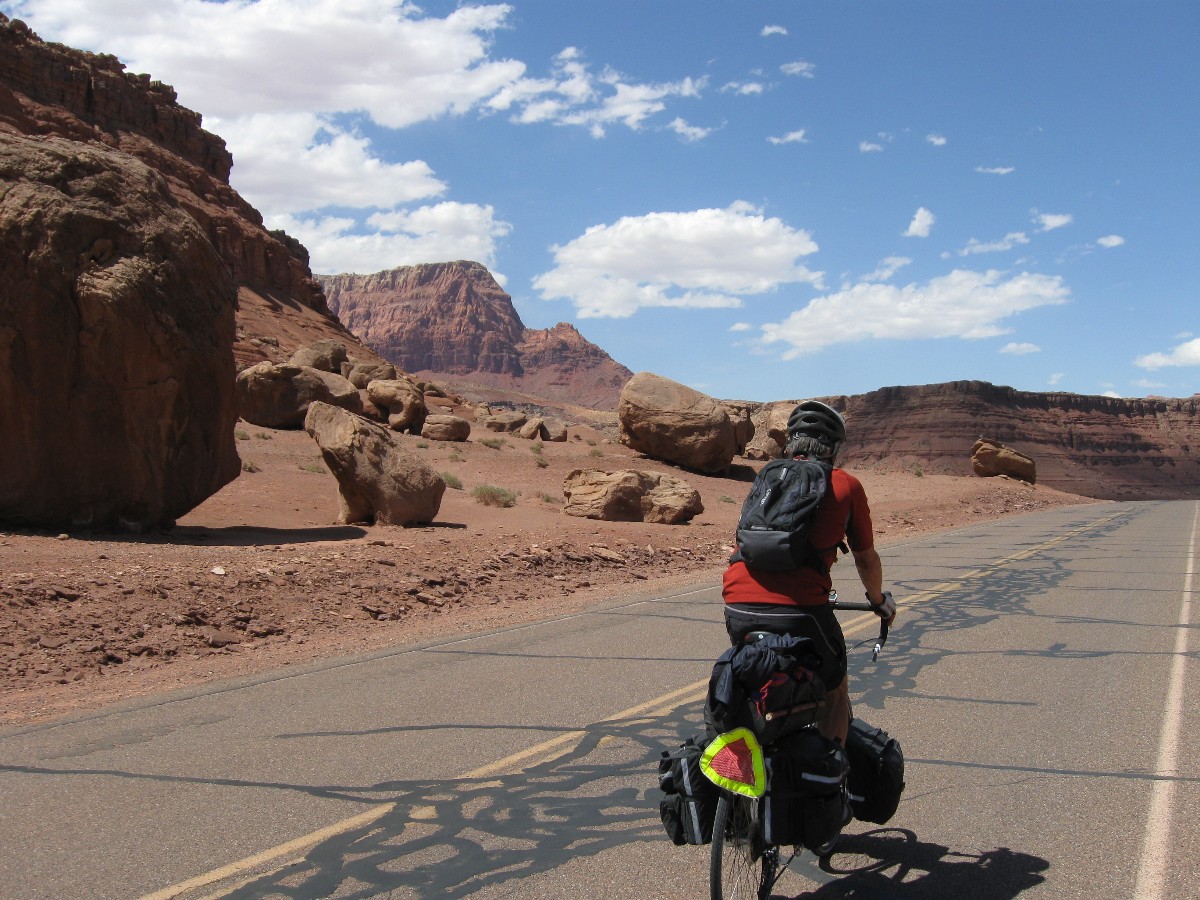
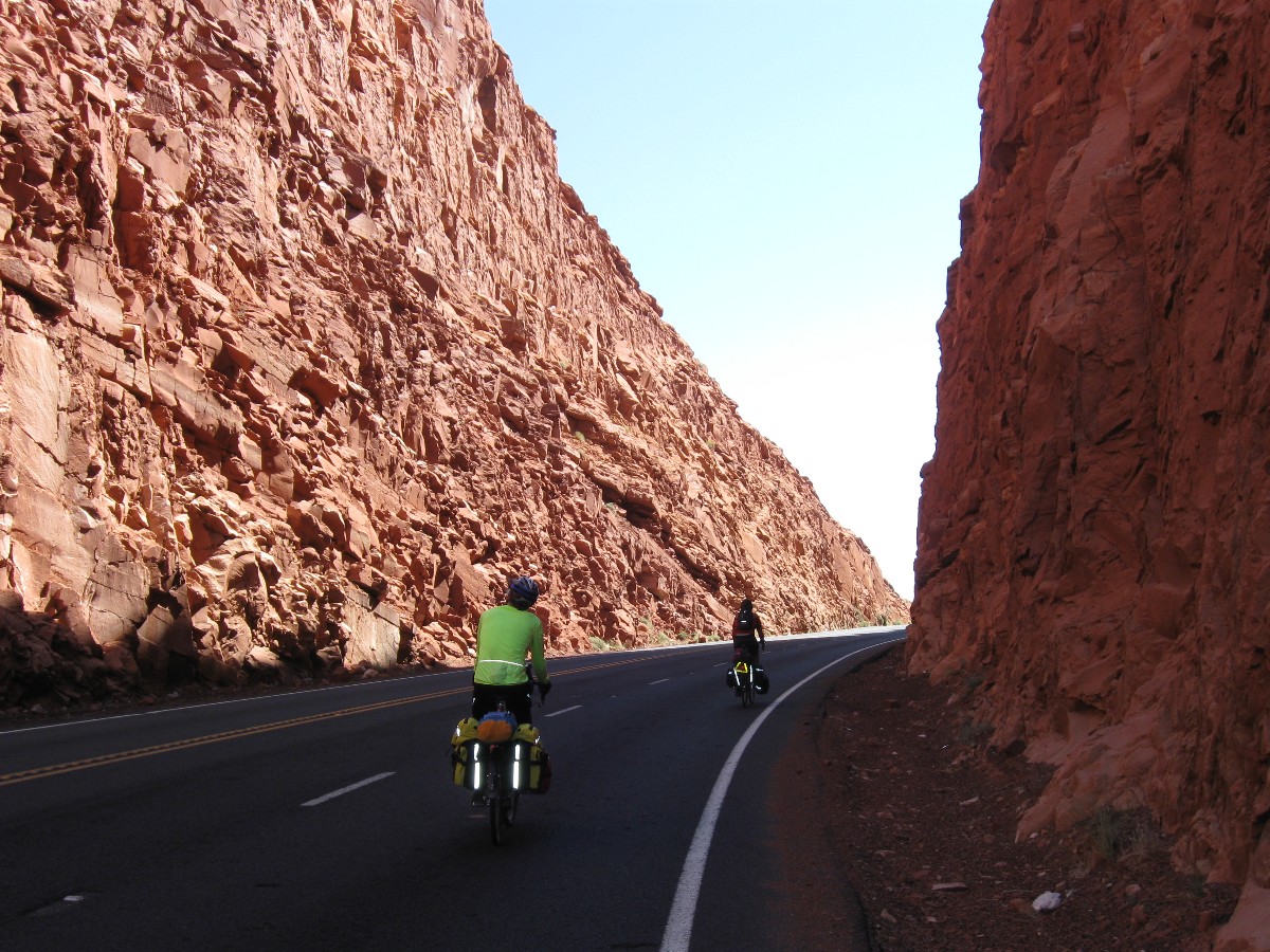
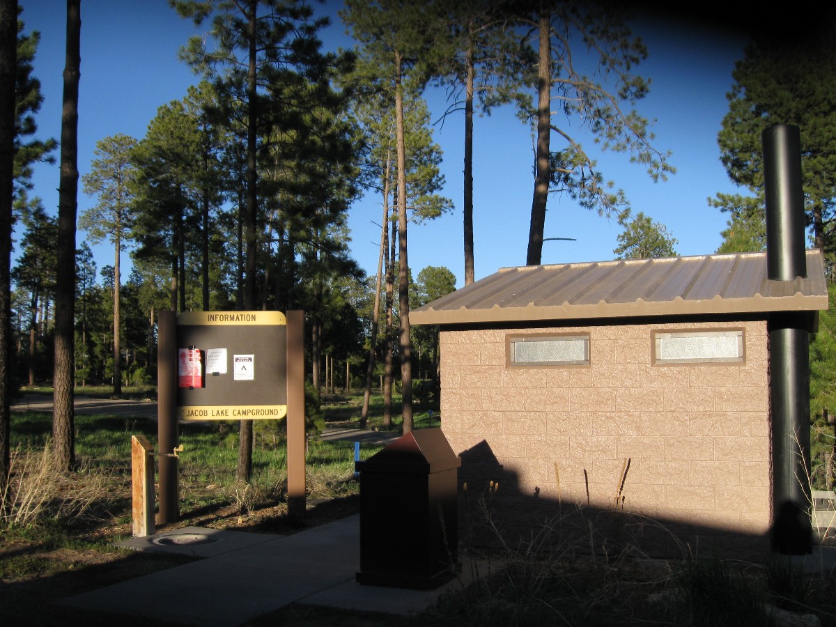
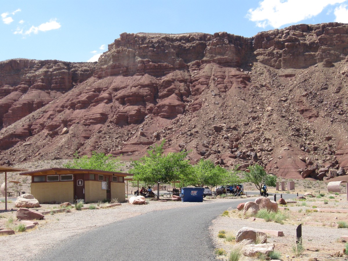
Day 1: Plateau Piece - Kanab to Jacob Lake FS CG, 37 miles, gaining about 4000' and losing about 1000'.
The aroma of Cliffrose drifts in on the following breeze. What? Yes, a
light zephyr blows from the North as we roll out of Kanab and head for the plateau 20 miles to the base of the
hill, then up, up more, a bit more, then exhausting rollers to the Jacob Lake junction and camp. Stopping in the
Grand Staircase Overlook, I release the pedal clips and put my foot back on the pedal - where it, unknown to me,
clicks back in. Secure. Yikes. I flop flat on my side in the gravel, some of which finds its way under my skin
- because I can not get my foot out of the clip to stop my fall. Ouch.
Now, lounging behind a stately Ponderosa at the FS CG (Forest Service Camp Ground),
writing these notes, I
feel dehydrated, with a mild headache and intermittently cramping leg muscles. Wimp.
Cheryl, riding the steep uphill today, attracts the attention of the Arizona
Highway Patrol - who advises her "why do you people want to ride here anyway? It's dangerous and this road is
for cars and RVs." He was focused on the republican agenda (only activities that waste precious resources; profit
motive for a few) and gave "the look" to each of us as he drove slowly and closely past each biker. Setting a
good example for texans.
 |
 |
 |
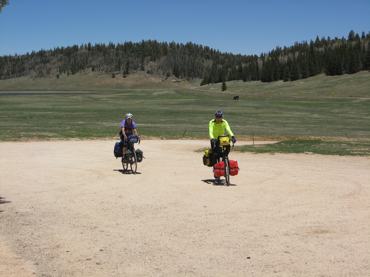
Day 2: Windy Ride to Dutch Oven Chicken - to North Rim of the Grand Canyon CG. 45 miles; 2500' up and rollers.
Nearly stopped by the full South wind, my bike wobbles and nearly topples.
Grinding along, what might have been a tiring day turns into an exhausting one, courtesy of the head wind.
Along the ridge, the wind blows hard. In the meadow parks, the wind blows hard. So it goes, plodding through the day.
Patches of snow hide in the fringe of just-leafing Aspens, snow melt draining into the limestone sinkholes of the
meadow parks, revitalizing the springs of the Kaibab Plateau.
Into the Spruce/Fir forest of Grand Canyon NP, there's a better screen from the wind
and more pleasant touring evolves. Entering the park, it's fairly calm. Showers and Dutch oven chicken await.
Chicken by Robert T. Yummy.
It's a fine gorging and a lovely evening ensconced in the now Ponderosa Pines.
Enough pines to throttle the wind, baffling it to where it barely buffets. The shower is a delight, hot water
powerful enough to blast the grime from your bones and abrade your skin.
 |
 |
 |
Day 3: Low Revolution Day - bike a few, walk a few.
The corvid called Raven folds his wings and, like the delta of a fighter jet,
drops vertically into The Canyon of the Transept. Displaying an intellect superior to most conservatives (certainly,
he exhibits greater social connectedness and responsibility - republicans are not shy about direct socialism that
protects profiteers from the so-called free market, such as farm subsidies (that is, hand outs, farm welfare), but
are happy to cut unemployment benefits and food for the poor - very religious, quite hypocritical), he maneuvers the
wind. Today, NOAH calls it a "wind," while yesterday it was a "breeze." Although not as adept as the Turkey Vulture
or the Condor (one of our fellow creatures we've nearly driven extinct through our overpopulation and greed), who can
wiggle the fingers of their primary feathers to deftly work the wind for hours, the Raven vigorously plays on the gusts and seems
to enjoy the pleasures of today's winds.
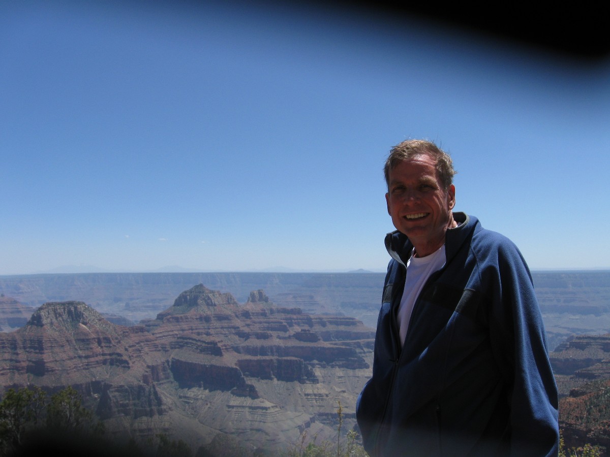
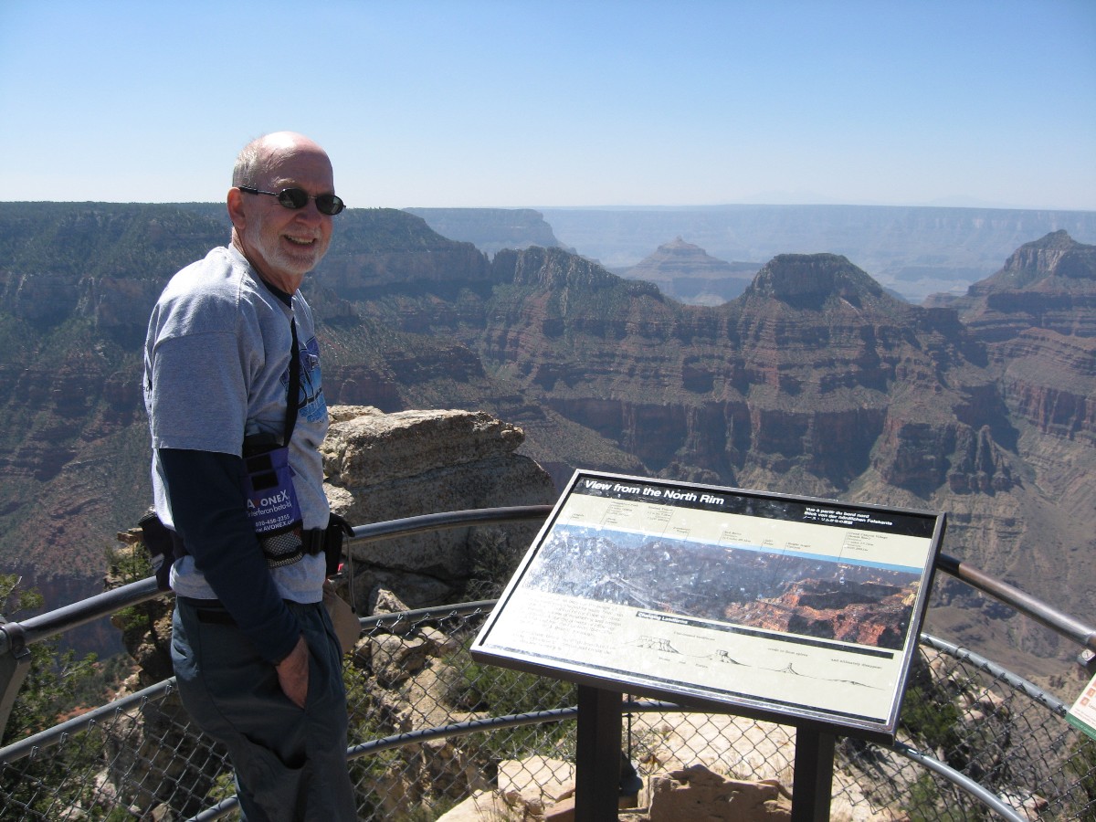
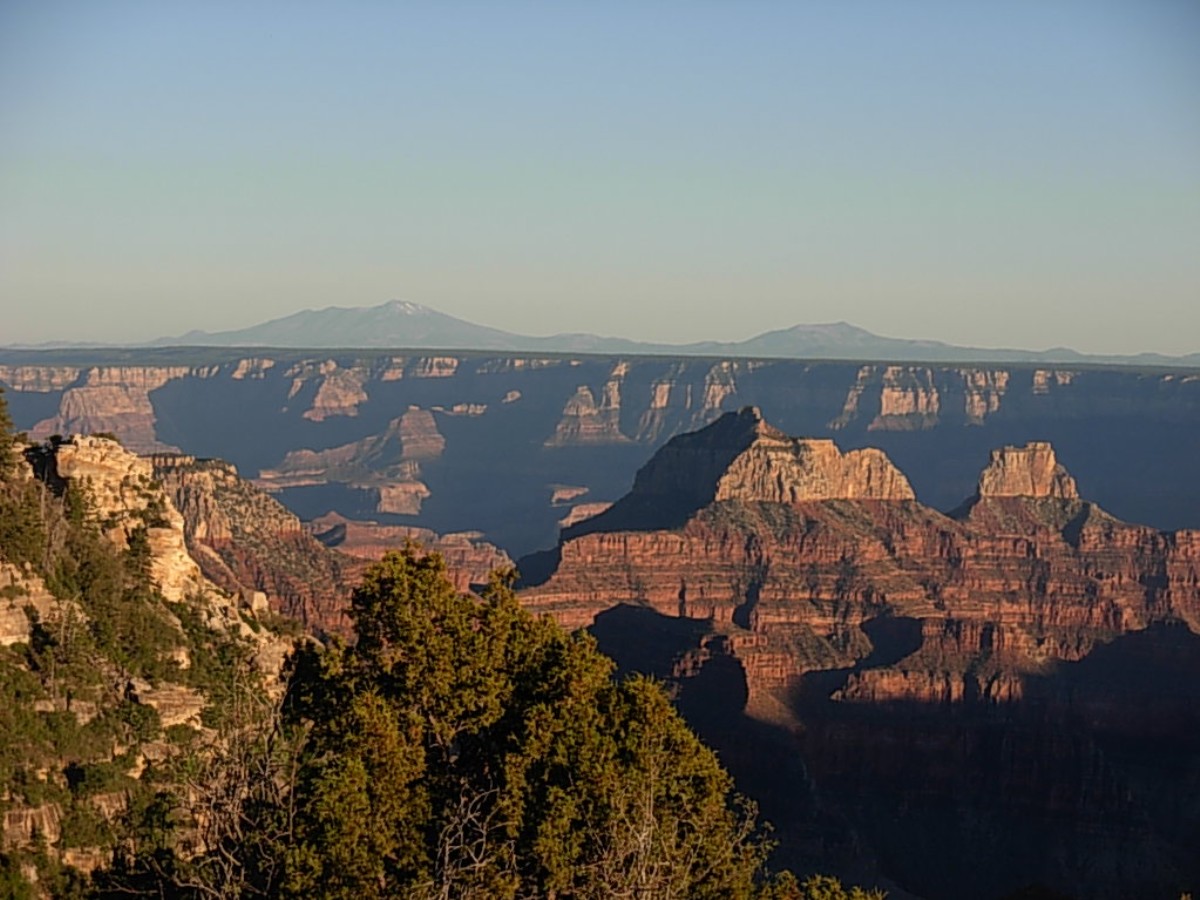
A group of us ride to the GC Lodge to enjoy breakfast and a view of the Transept
of the GC (Grand Canyon). Then, back to camp and a hike of the Transept Trail to Bright Angel Pont, where wind is
flying hats and such into the pines. I meet Lone' of Denmark and I am pleased to find she knows more about U.S.
history (the correct, non-palin version) and our present corrupt politics than 93% of Utahans and 89% or Arizonans.
In Denmark, they know and preserve the value of government and also know the perils of politicians controlling by
fear and economic threats to support greed or perish. Haw! Many Americans believe the line about
trickle down voodoo economics. Privatize gain, socialize loss; a social safety net is un-American (except for the
very rich, corporations, welfare farmers, welfare bankers, etc.). Perhaps what we need is a revolution to banish all
selfish tea-bagger class warfare and evolve into a civilized society?
It's not a zero revolution day, but a revolution to grow beyond fear, narcissism,
greed, and bellicose belligerence. Oh wait, I was talking about taking a day off from bicycling, right?
 |
 |
 |
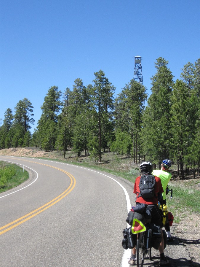
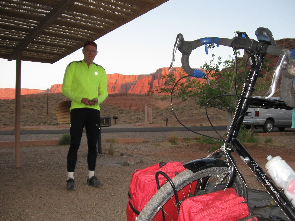
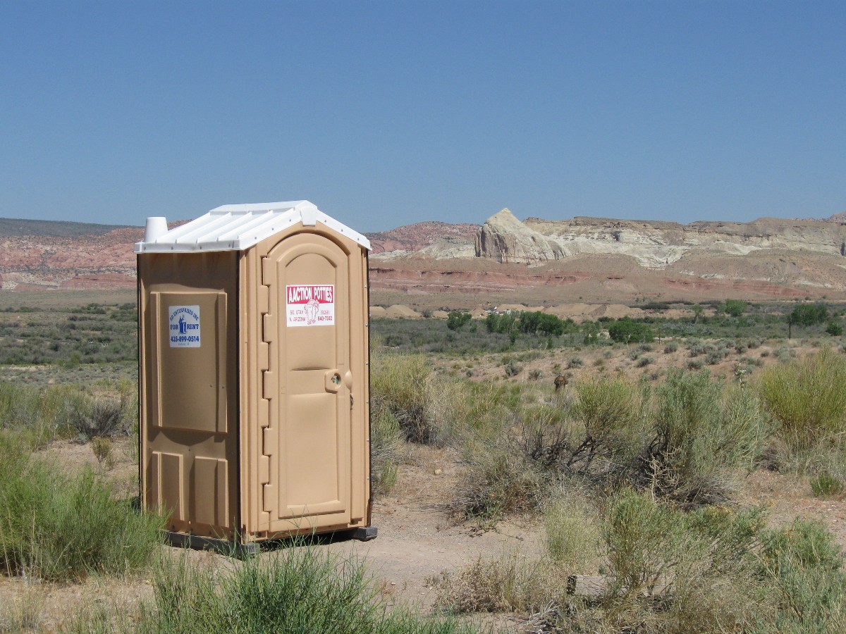
Day 4: Heavenly Driftoid Redux - return to Jacob Lake CG; 45 miles.
Drifting in a delightful envelop of calm air at 17 MPH, the Redtail Hawk plays
overhead gusts, screeching with what might be joy - or perhaps irritation at my presence - dipping and flipping and
undulating. Driftoid. The tailwind matches my forward speed. Finally, a day of touring. Using some of the
taller gears. Deluxe. Also, it's warm in the bubble of still air, nice given the sub 60F temperature this morning.
A coffee and cinnamon roll stop at the N Kaibab Lodge refreshes - and it's better
than the North Country Store across the road - where I was told to not fill my single water bottle after eating one
of their sandwiches for lunch on the way to the park. All terrain looks better today as we sail along. I stop for
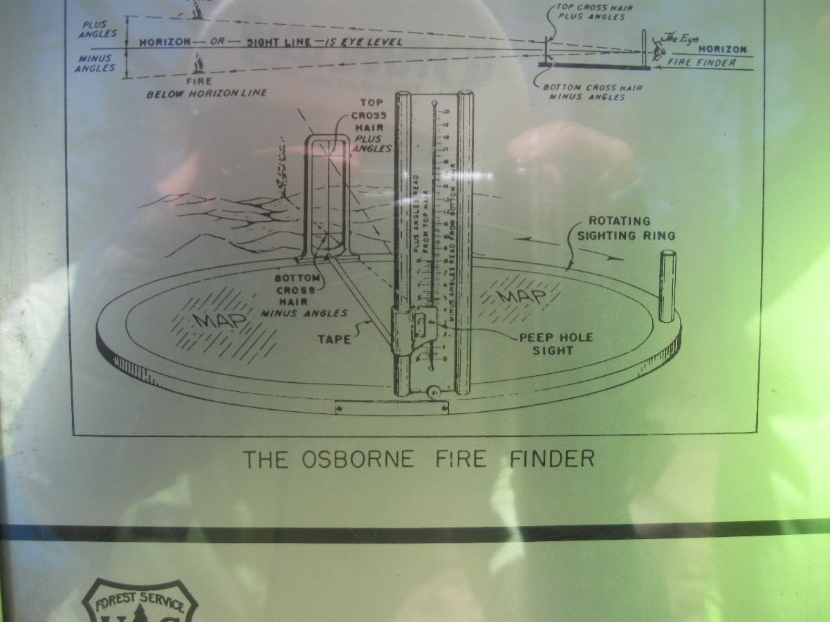
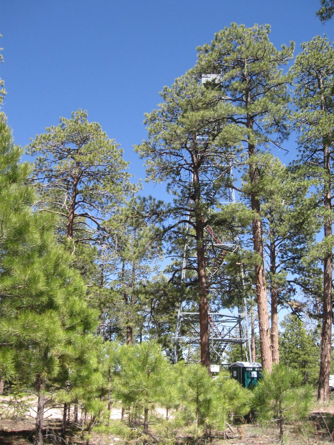
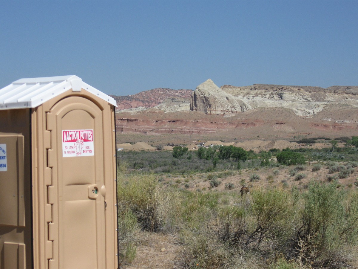
a scenic toilet photo of the Jacob Lake Lookout - built by the CCC in 1934. In camp, I heat bath water by placing
platypuses (platipi?) on the warm concrete picnic table while I go to retrieve the last food from the cache in the
forest. Coming back to camp, I see Carrie walking. Upon seeing me (sort-of, without her glasses), she turns and
runs to the nearest winnehogo. Puzzling. Later, she reports she has been accosted by a homeless bag man coming
out of the forest. A scary moment. Later, we all enjoy a shared cake - it's Paul's birthday. Then, it's
bedtime for bonzo.
 |
 |
 |
 |
 |
 |
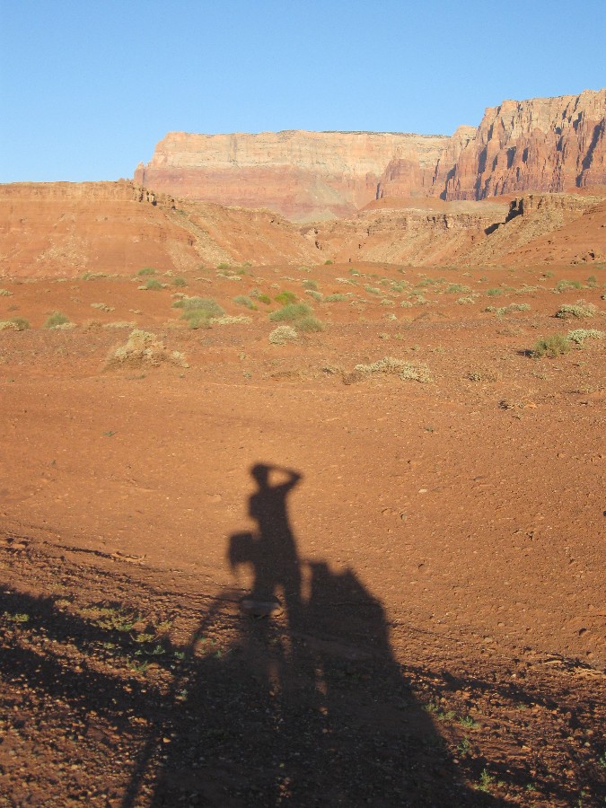
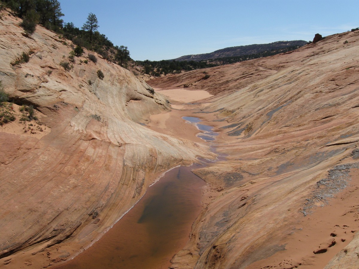
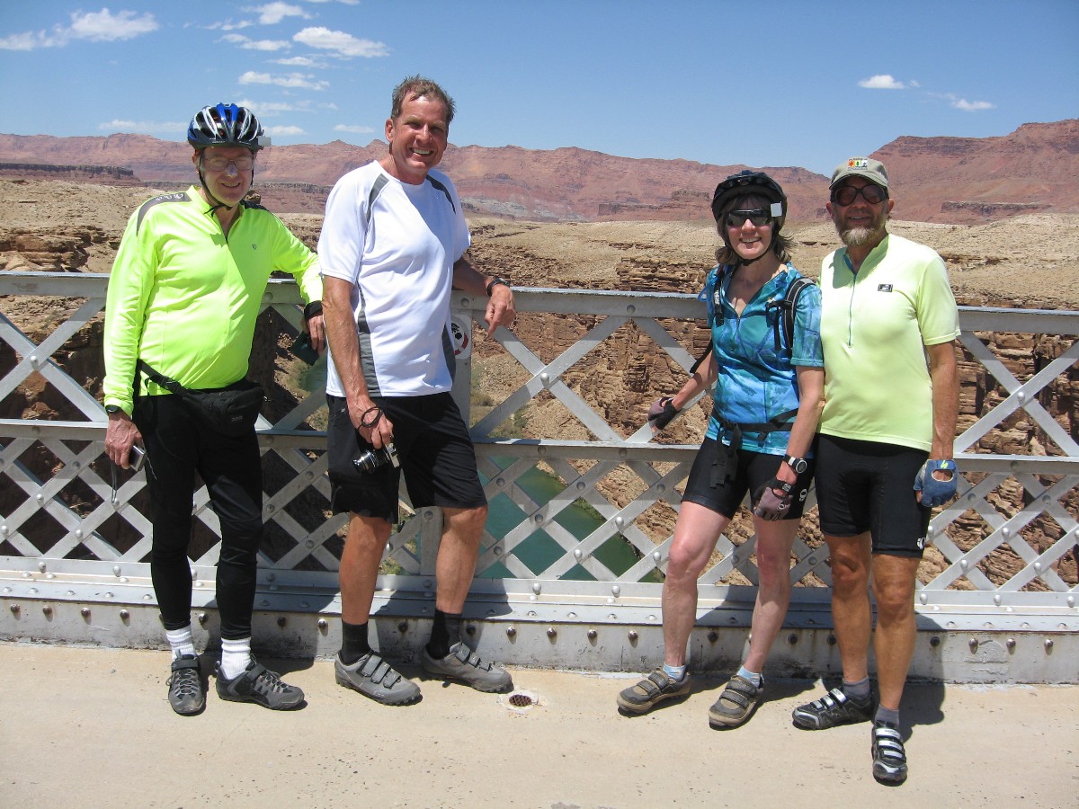
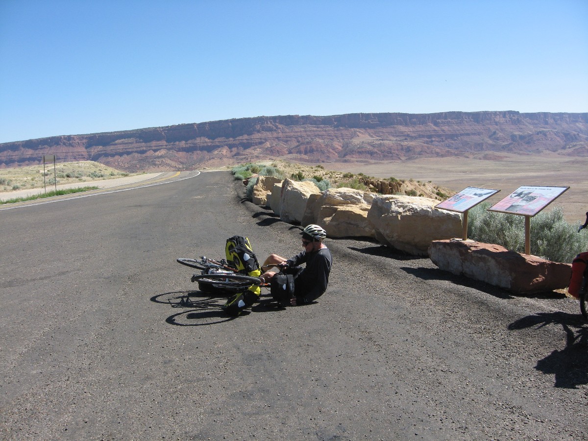
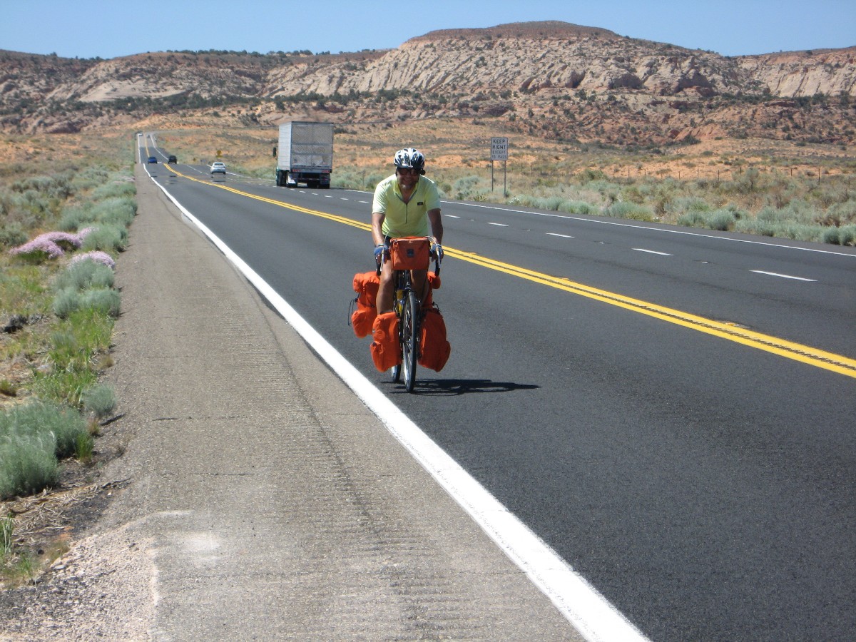
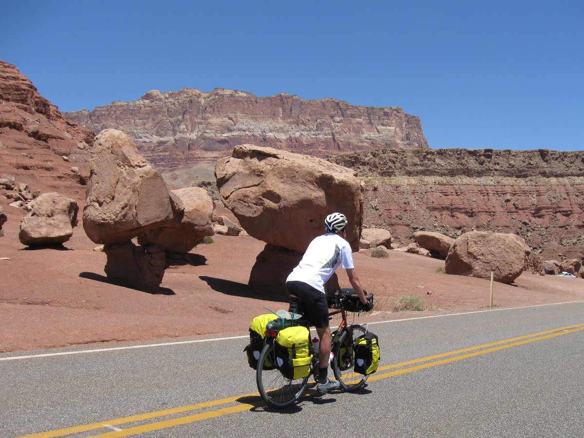
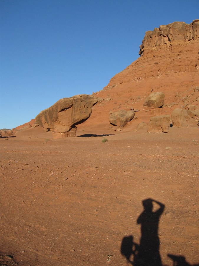
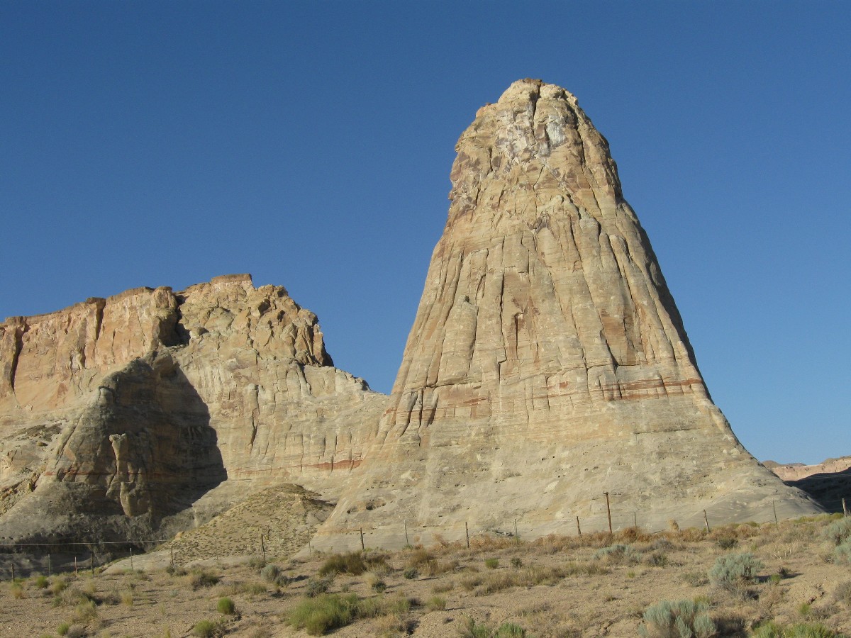
Day 5: Lees Ferry Lilt - Plateau Plunge - to Lees Ferry CG; 46 miles to windy heat.
Approaching the speed limit of 35 MPH, the Venerable Monster (Specialized
Expedition touring bike) leans into and around the turn and rolls on, dropping from Ponderosa to the pygmy forest
(Pinyon/Juniper), and below it to the sage and scrub. Plunging off the plateau, fully clothed - most of which
comes off below the pygmy forest level - the road levels as it passes BLM 1065, the House Rock Valley Rd - which
connects Hwy 89A to Hwy 89, passing THs for Wire Pass and Buckskin Gulch (1065 is gravel/dirt).
For several miles, the breeze is in our faces, then it gradually shifts to a
quartering wind, then a quartering wind from the rear and we are sailing along, lilting as ostentatious views of
Vermillion Cliffs evolve. Glorious.
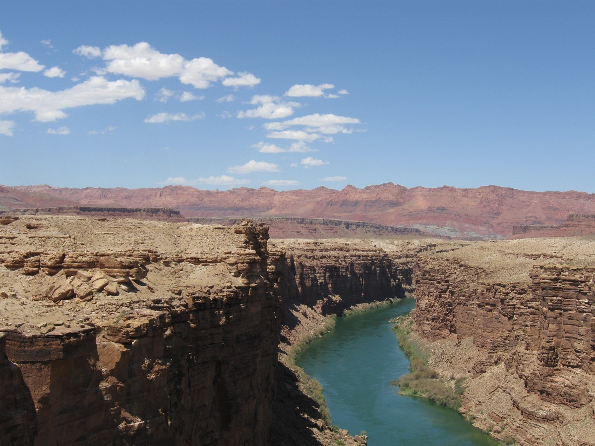
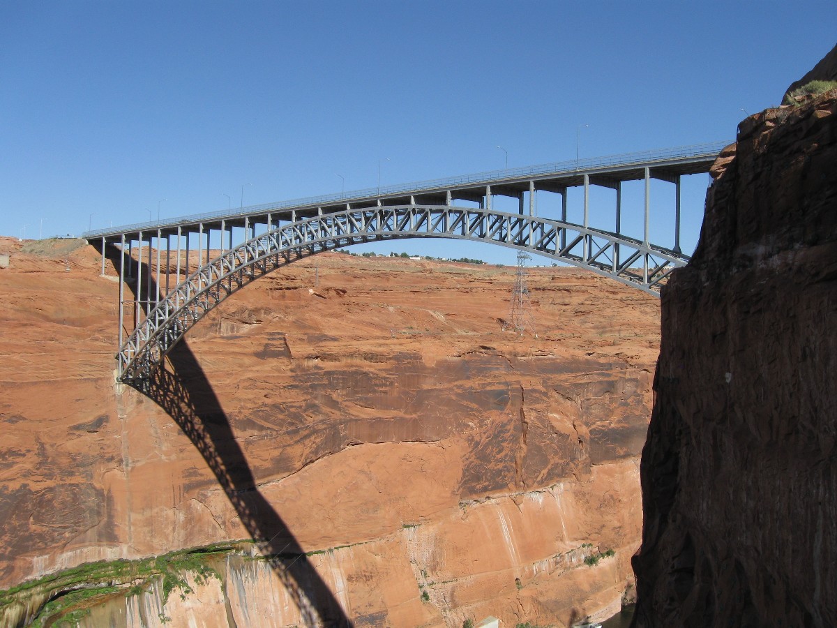
A rest stop at Cliff Dwellers refreshes and we continue along to Marble Canyon
for lunch. With building breeze and temperatures, some of us stroll the old Navajo Bridge, gazing at cliffs and
the captured Colorado, frigid, not free, held hostage by the damnation that creates Lake Foul, the evaporative
sewage pond. The cold Colorado hosts barely any native fish, which are adapted for warm waters, the native
temperature of the Colorado.
Coasting down to Lees Ferry, the desiccating wind whips anyone attempting to
erect a tent. Lilting ride, tent-whipping wind. Then, an atrocious example of how come extended drought (can
you say "global climate change?"), extreme floods, tornadoes, and other increasingly nasty weather will help
produce the end of nature (Bill McKibben) - a Utah family with 6+ children, camping from a huge gas-hogging van.
Carbon footprint? Bigger is so much better (for the speedy end of nature, that is).
| ||||
 wbike-az-ut Day 5-1 Mark S, Carrie, Mark M, Chris Vermillion overlook.jpg |
 |
 |
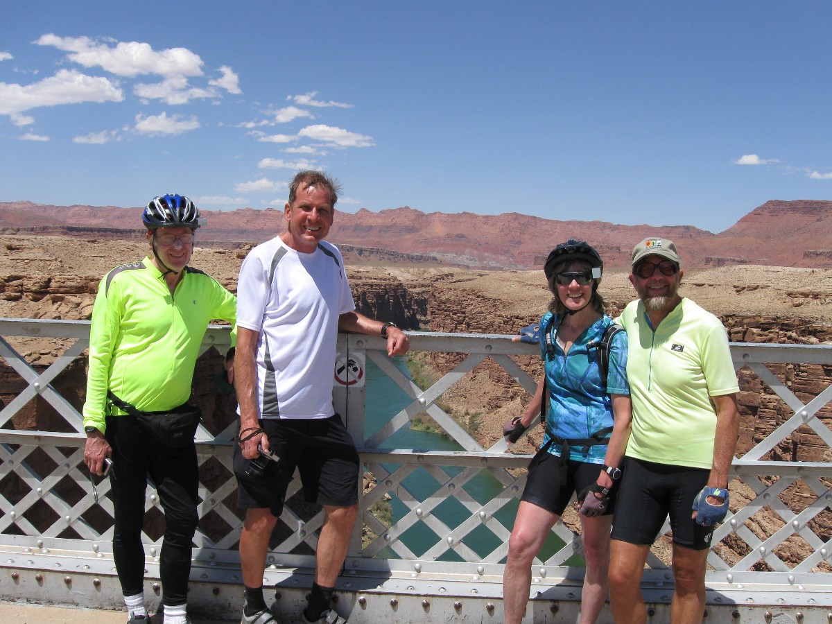 wbike-az-ut Day 5-4 Dave, Mark S, Carrie, Rob on Navajo Bridge.jpg |
 |
 |
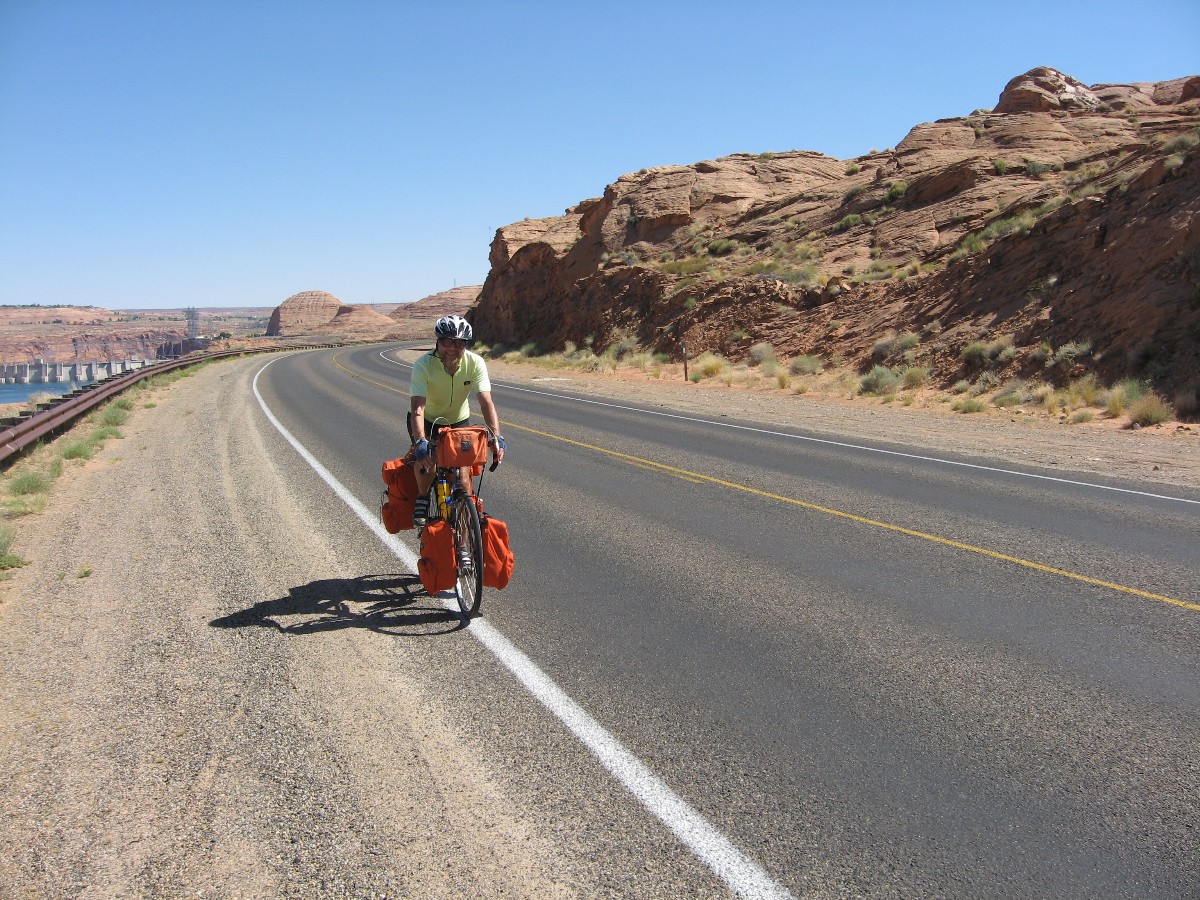
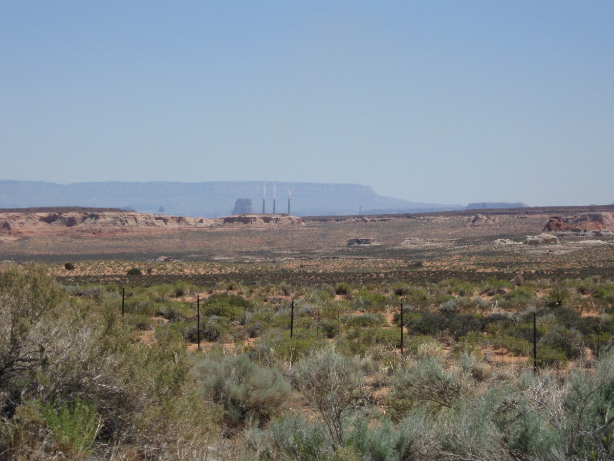
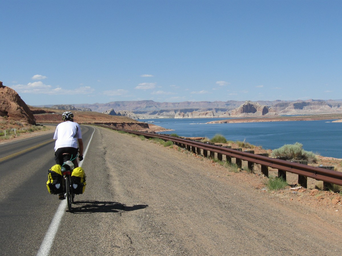
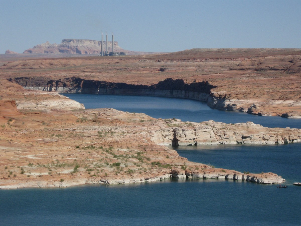
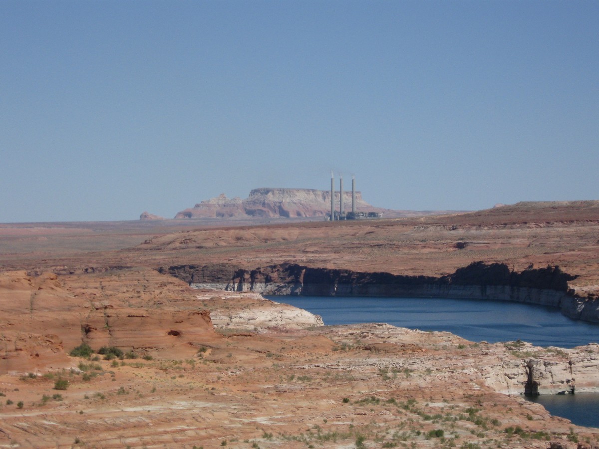
Day 6: Damnation - to Wahweap. 45 miles.
The azure pond glistens, millions of acre feet of Colorado harshly impounded;
imprisoned in the sewage pond of Lake Foul, contaminated by E-coli and houseboats and chainsaws on water. A grand
place for turd fondlers. Turd fondlers who forced Lake Foul upon us, drowning the unbelievable grandeur that was Glenn
Canyon. Is it time to drain the pond and switch to other forms of generating power?
We're drifting the road toward Wahweap.
The day started very early. The horrendous wind quit, finally, about 2 a.m. Up at
4:30 and on the road before 6, rolling up to the Navajo Bridge and on to Hwy 89, then the steep uphill before a quick
roll down to Page.
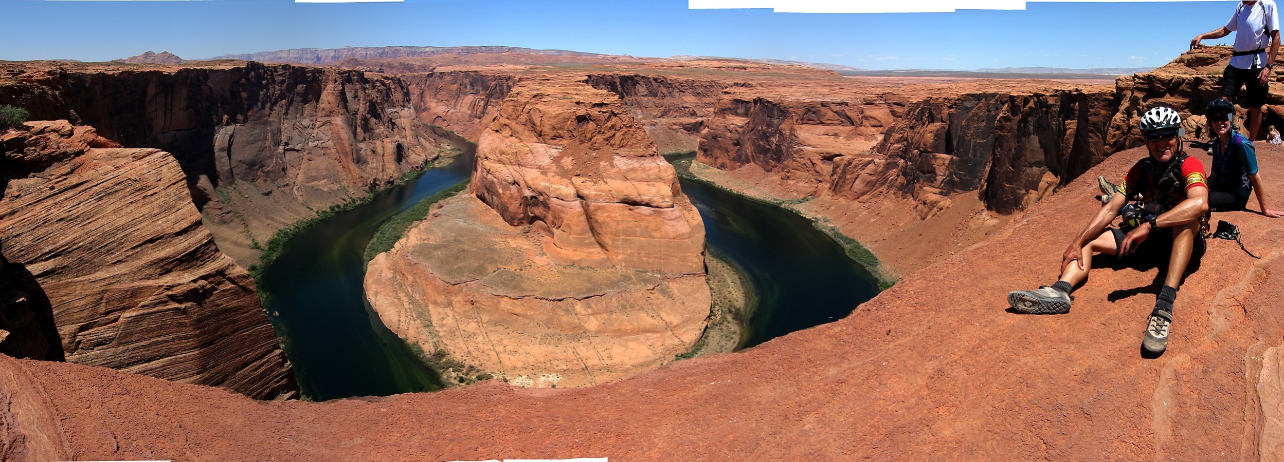
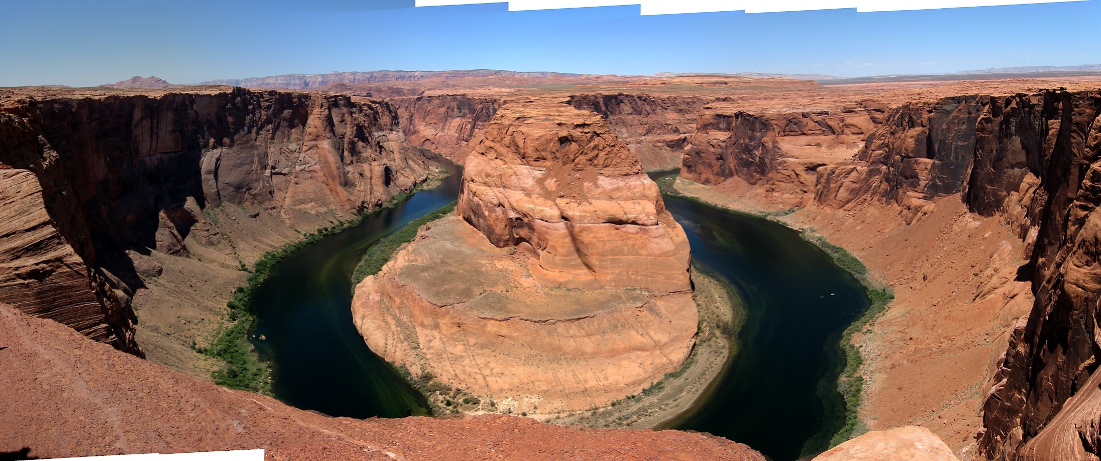
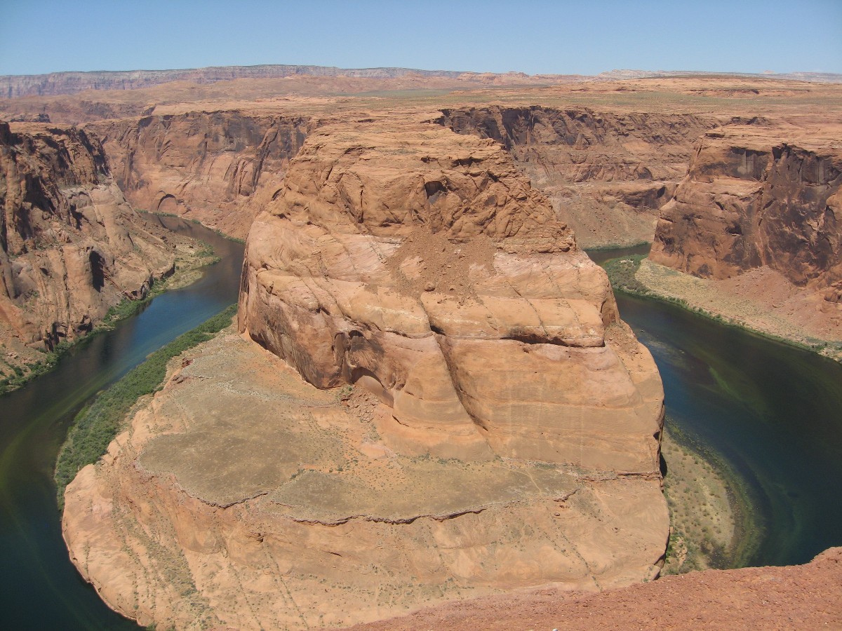
Many of us stop and hike out to the entrenched meander of Horseshoe Bend, the tiny
bit of what's left of Glenn Canyon sweeping in an arc below.
Loafing awhile in Page eases the heat issues and refreshes. Then, on to Wahweap,
where a hot breeze blows until sunset. It's a noisy group camp at Wahweap, where several motorhead groups party until
quiet time, after the half moon is up in the sky.
 |
 |
 Marble Can.jpg) wbike-az-ut Day 6-3 Dave, Chris climb from (distant) Marble Can.jpg |
 |
 |
 |
 |
 |
 |
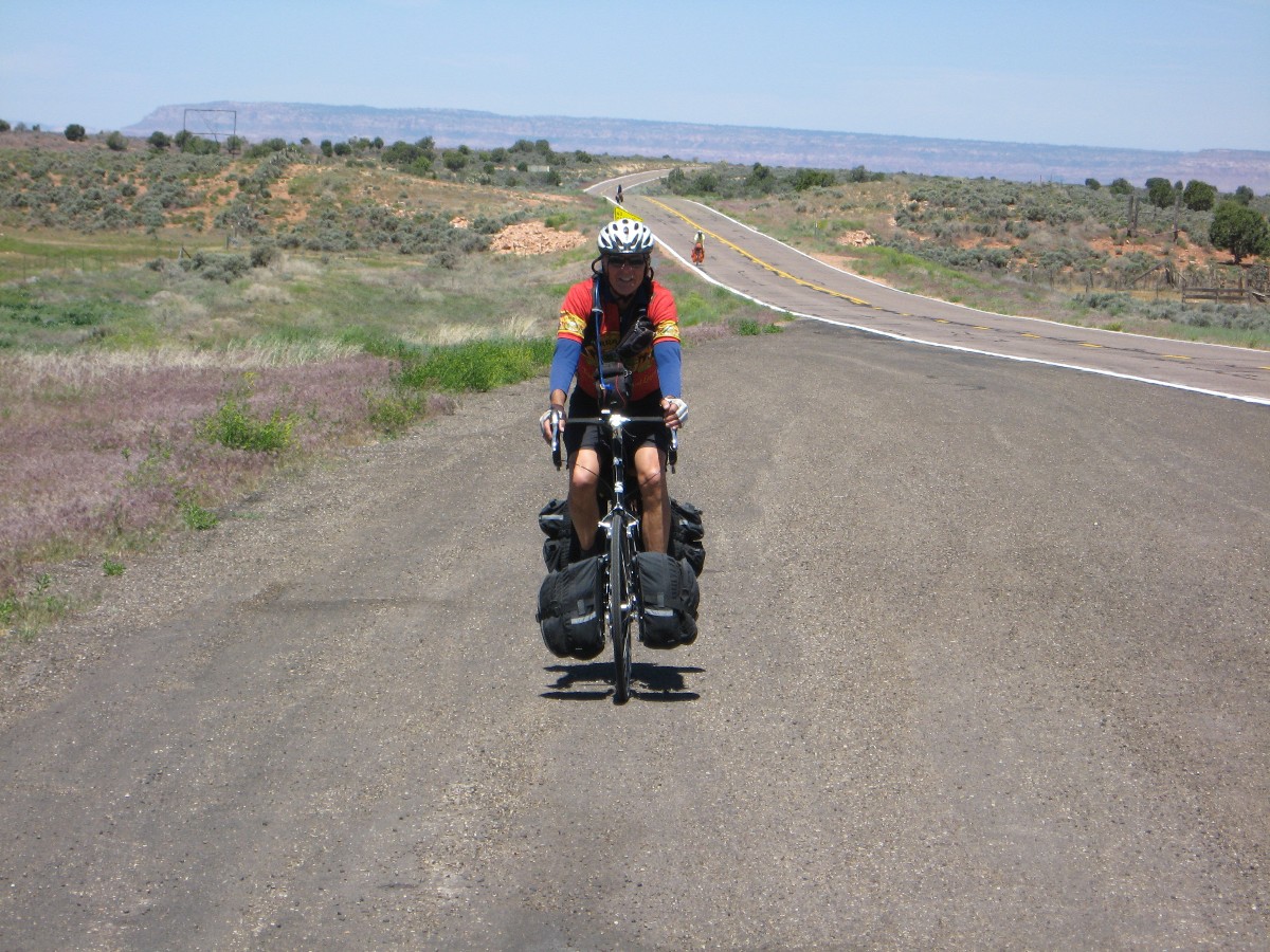
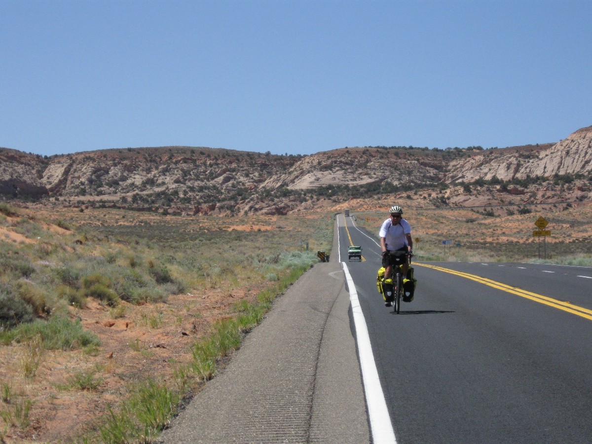
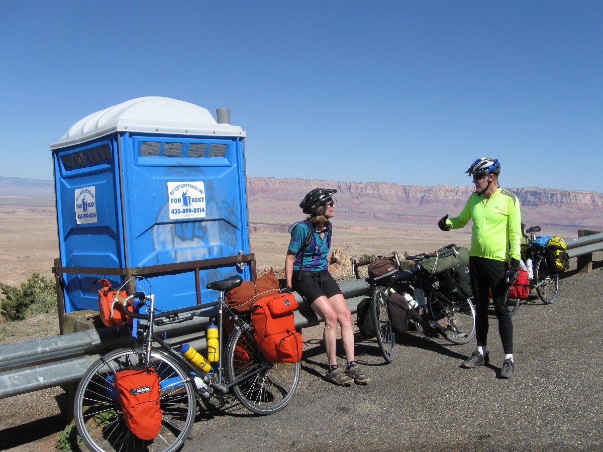
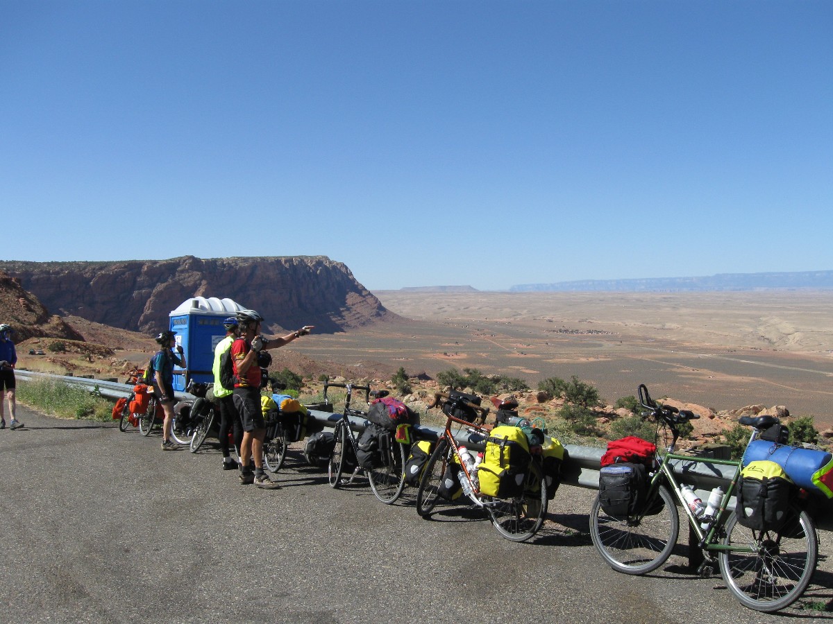
Day 7: Bigotsville, Kanab - 71 miles.
A very early start has us traveling up out of Wahweap and onto Hwy 89. A headbreeze
confronts us for the first 15 miles or so. I stop at the Badwater Escalante/Grand Staircase visitor center to find
the center is still closed (too early), yet enjoy a snack, good bathroom break, and a respite from the breeze.
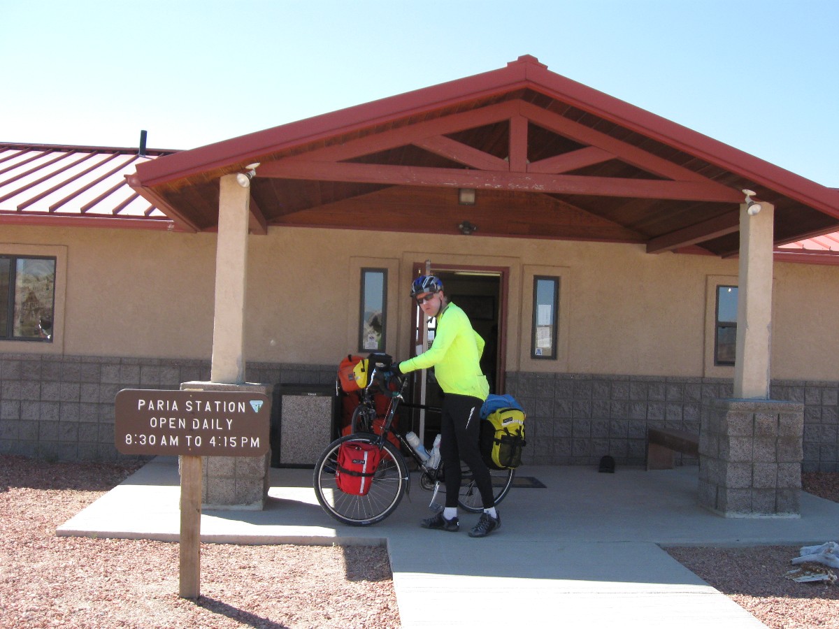
On to the BLM Paria contact station, near the primitive area and hike of the
Paria River. This hike drops one out at Lees Ferry, not far from our camp on Day 5. Onto the climb over the
ridge above the Paria, and now wind now. It's growing a bit hot instead. Amazingly, a tail breeze kicks in
and we're gliding along, touring, for many miles. After a pause to regain strength and rest the butt under
the shade of a juniper, I creep back on Hwy 89, with it's less than kind drivers (passing too close, unlike
the decent treatment we had generally received so far on this tour) to find there is now a breeze from the West,
right in the face. Grind. Grind. Suddenly, I look up with a lolling head and notice Vince, sitting on a guard
rail post, holding a bottle of chocolate milk aloft like the Statue of Liberty. Liberty from muscle cramps? Yahoo,
almost to Kanab.
There's a bit of a downhill lilt into Bigotsville, Kanab. Bigotsville? Yes,
the so-called "natural family" resolution was passed by the mayor and Kanab city council in 2006. Pushed by
religionists, it sees women's only roll as child producing, producing a "full quiver of children." Seen as
anti-gay, misogynous, and expediting the end of nature via overpopulation and hate, it earned Kanab the title
"Bigotsville." Here's the text of the resolution:
"We envision a local culture that upholds the marriage of a man to a woman, and a woman to a man, as ordained of God... We see our homes as open to a full quiver of children, the source of family continuity and social growth. We envision young women growing into wives, homemakers, and mothers; and we see young men growing into husbands, home-builders, and fathers."
Over at the Kanab HS, I enjoy a brief water bottle shower, reorganize bike and bags and such, and decide to drive home (after a quick meal with Cheryl, Dave, and Mark and Mark at Escobars), collecting the cache can along the way. It's sad to leave old friends so soon. Fond goodbyes and we're on our respective ways. My route home retraces part of the route for this tour, and I marvel about the contrast between my trip today and that from the first part of this tour (the ease of traveling, yet also the loss of connection to the country), bifurcating the borders.
 |
 |
 |
 |
 |
 |
 |
 |
 |
 |
 |
|
| ||||
 |
 |
 |
| ||||
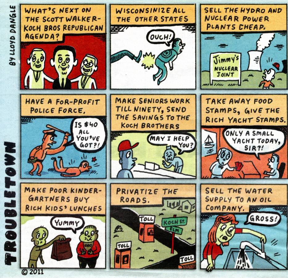
What we need now is another Jonathan Swift. (Paul Krugman) Most people know Swift as
the author of “Gulliver’s Travels.” But recent events have me thinking of his 1729 essay “A Modest Proposal,” in
which he observed the dire poverty of the Irish, and offered a solution: sell the children as food. “I grant this
food will be somewhat dear,” he admitted, but this would make it “very proper for landlords, who, as they have already
devoured most of the parents, seem to have the best title to the children.”
O.K., these days it’s not the landlords, it’s the bankers — and they’re just
impoverishing the populace, not eating it.
| ||||
Cheryl's plan and maps
Here is
Cheryl's plan for the Border Bifurcation.
| ||||
Links
Click here or on the happy cyclists to go to all WV reports about Bicycle Touring
| ||||
Passion for Paria! Backpacking Paria Canyon, With Day-dabbling in Buckskin Gulch.
|
Wild Vagabond Main |
Trip Report Index  |
Caveat  |
|---|