John Muir Trail – Hiking the Jaunty Juggernaut:
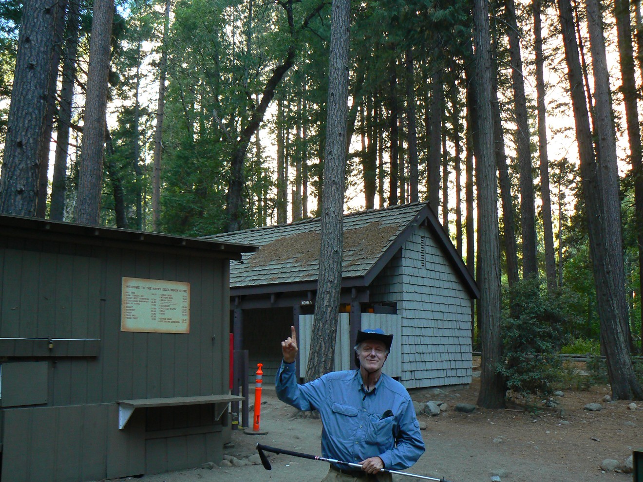
Happy
Isles in Yosemite Valley to Whitney Portal
218.5 miles
August 4 – 31, 2010 (28 days)
Text and photos
© copyright by Rob Jones
 |
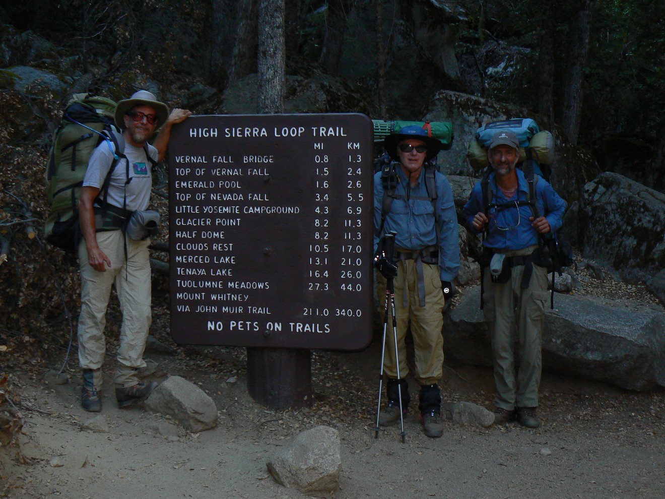
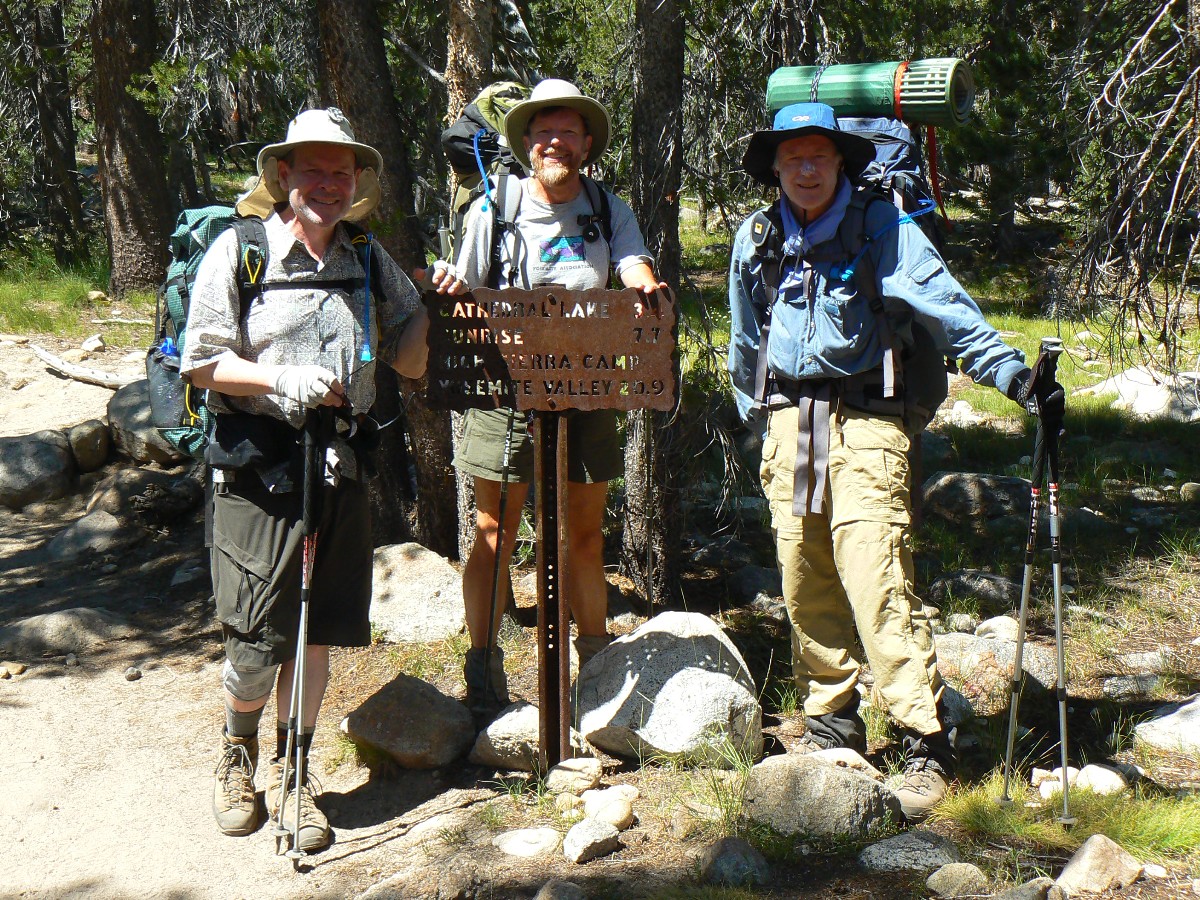
With Dave Rumbellow; first section (to Reds Meadow) also with Mark McKenzie
Total Trail Miles –> 218.5 JMT miles + 14 resupply, etc. = 232.5 total trail miles.
Total ERM = 427.2 (best estimate), nearly twice the trail miles.
|
|---|
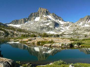
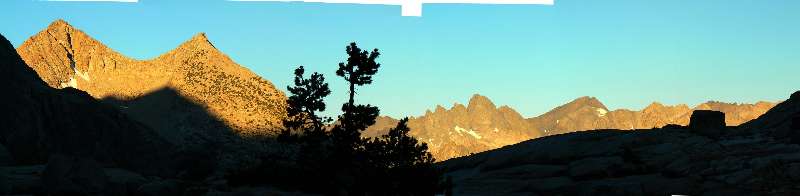
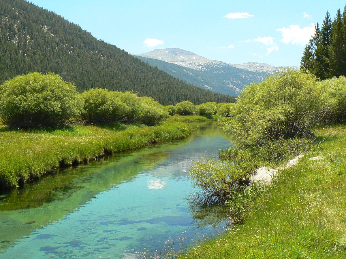
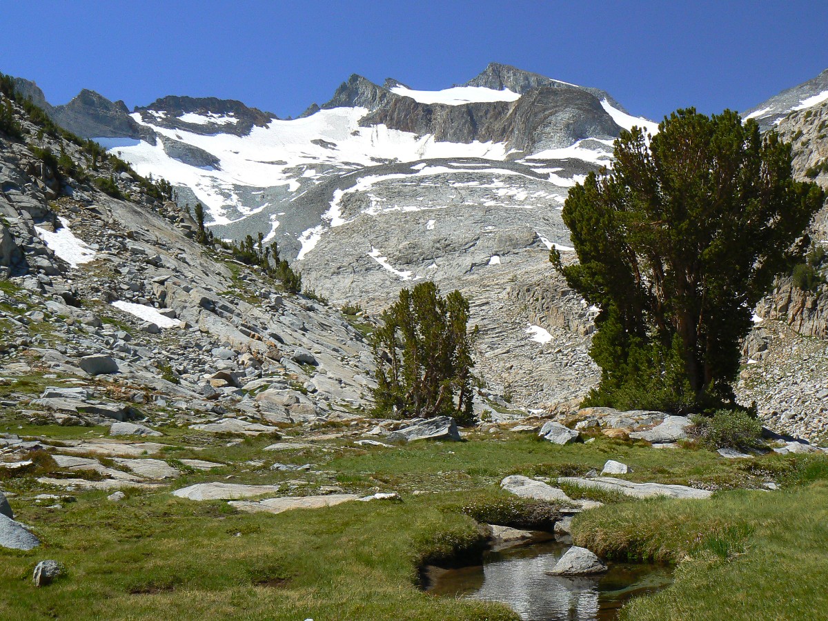
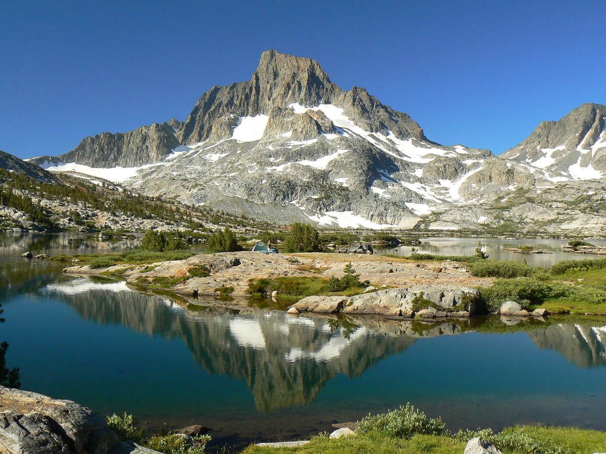
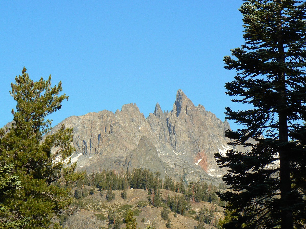
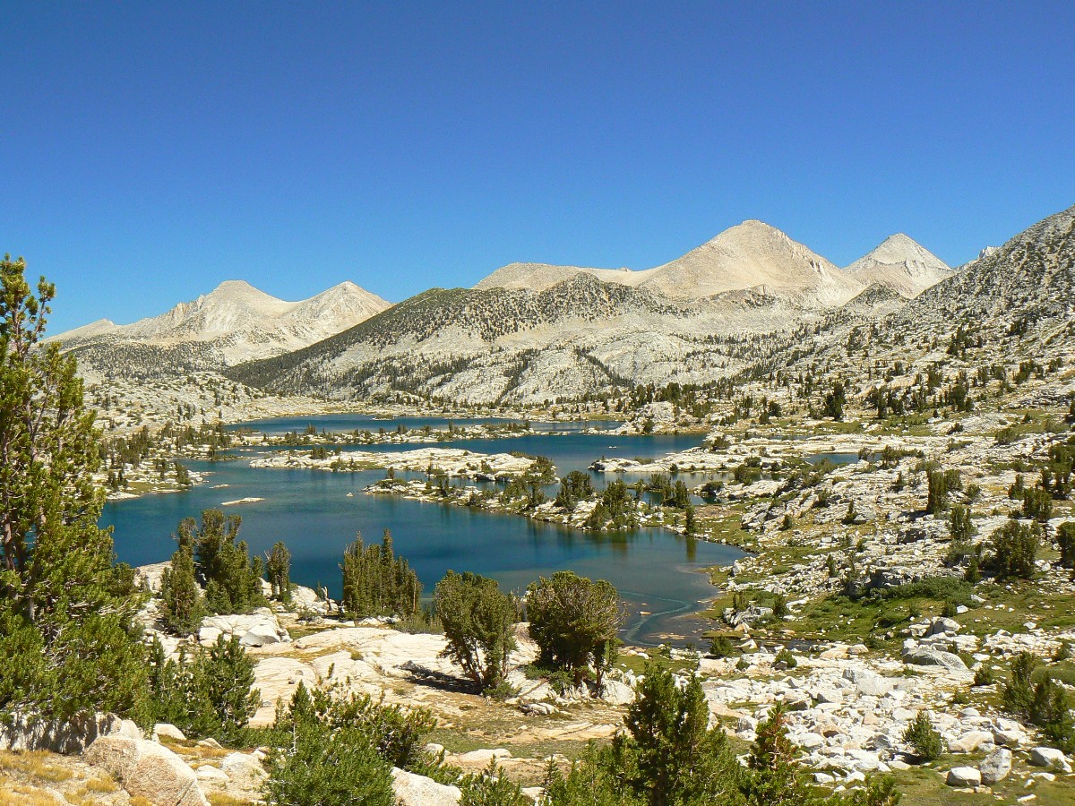
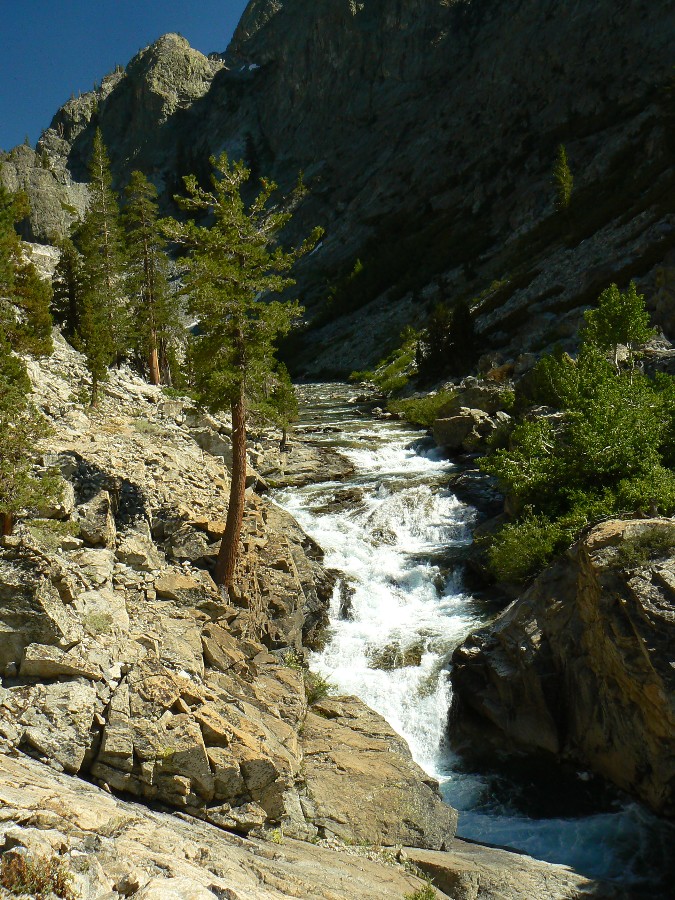
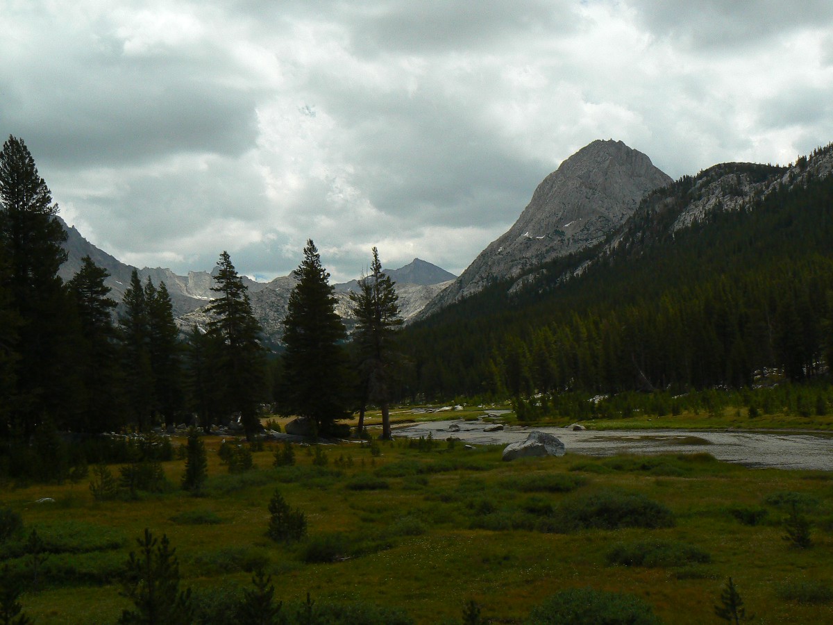
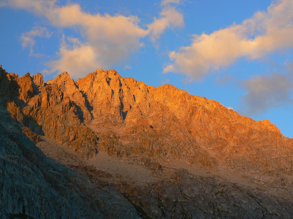
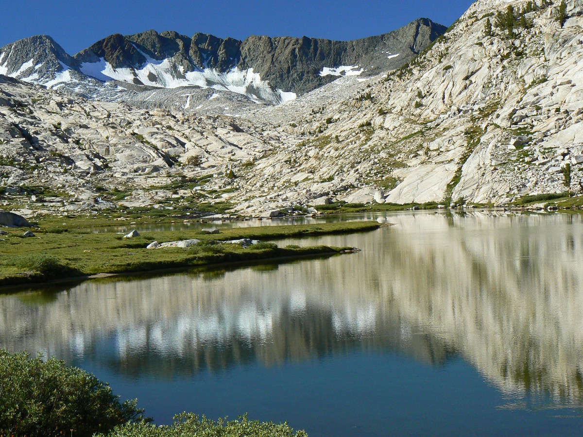
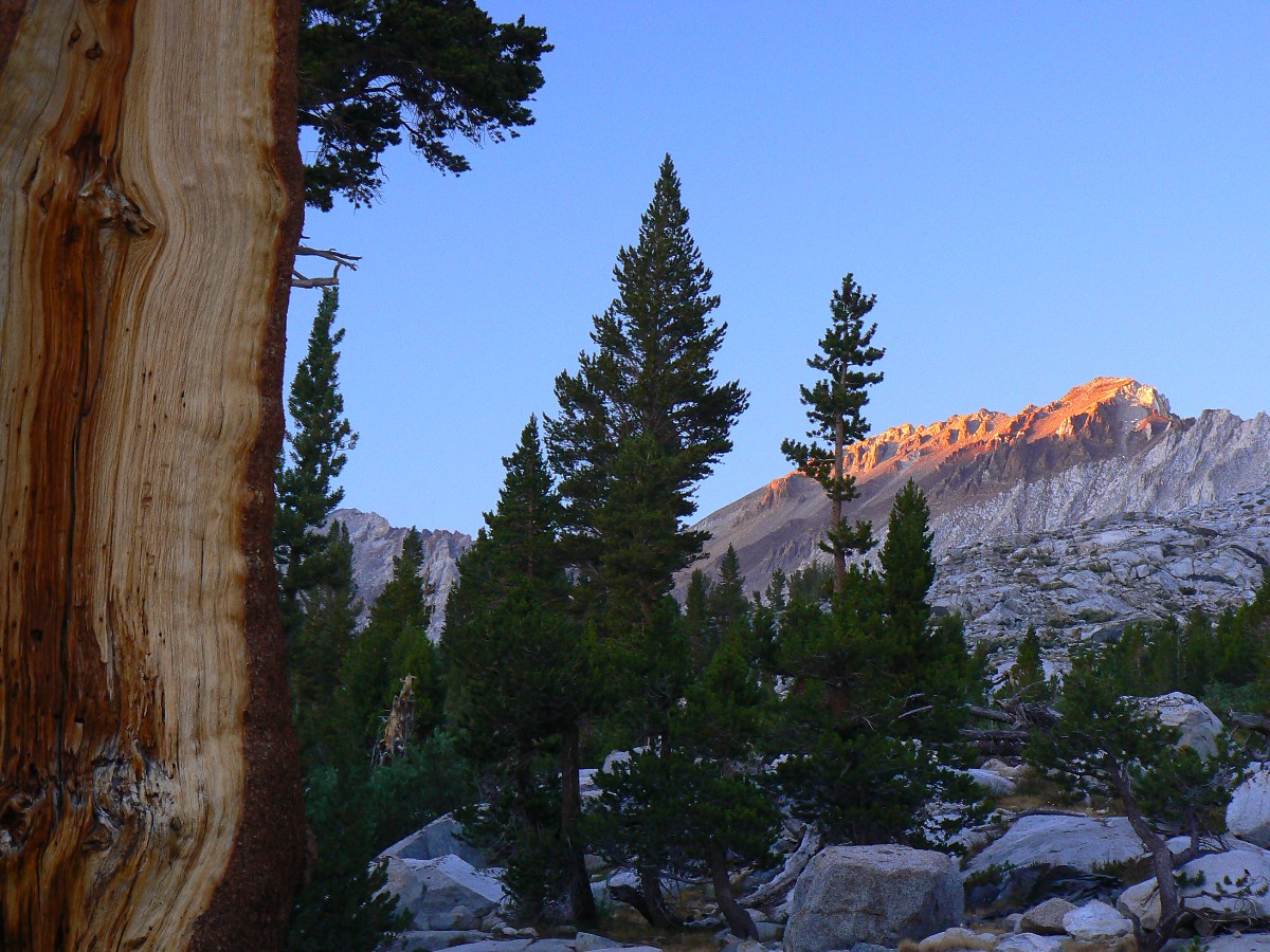
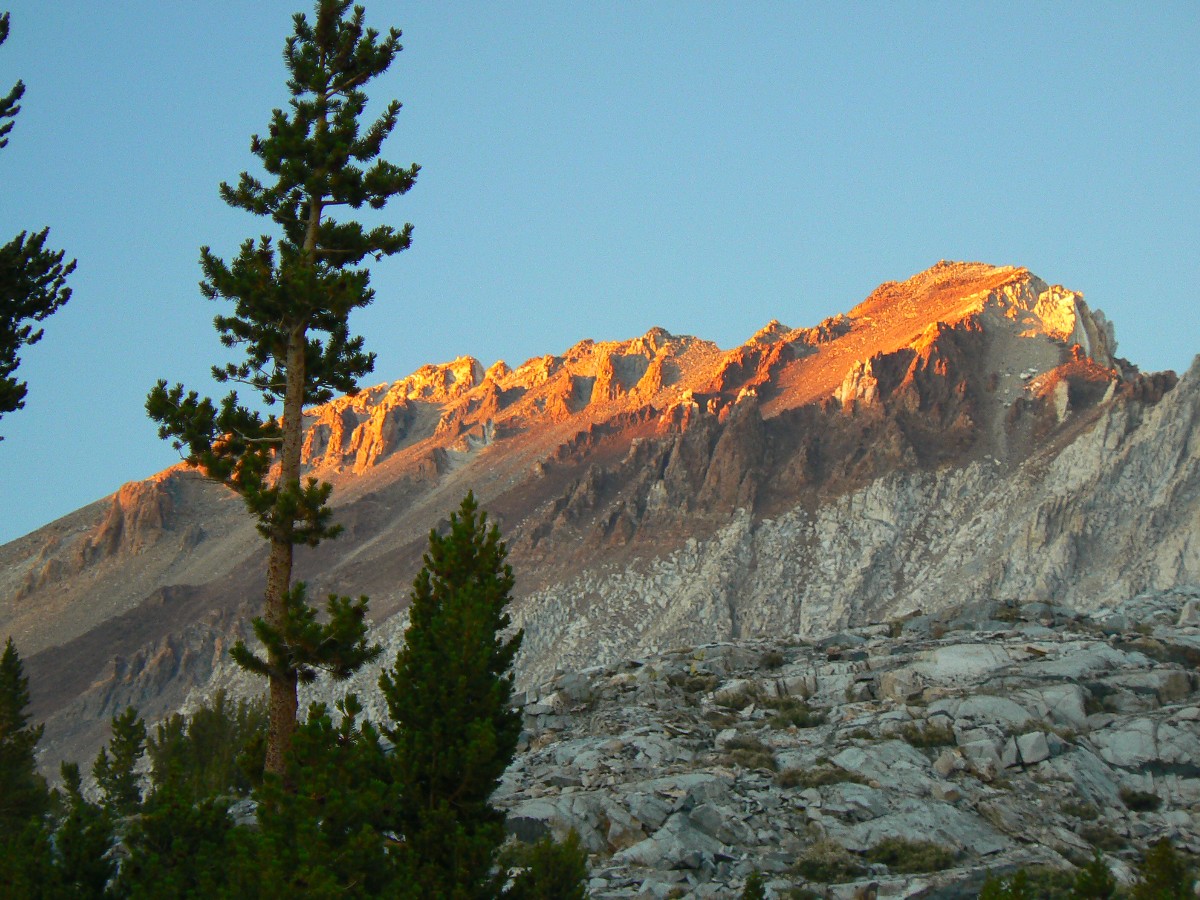
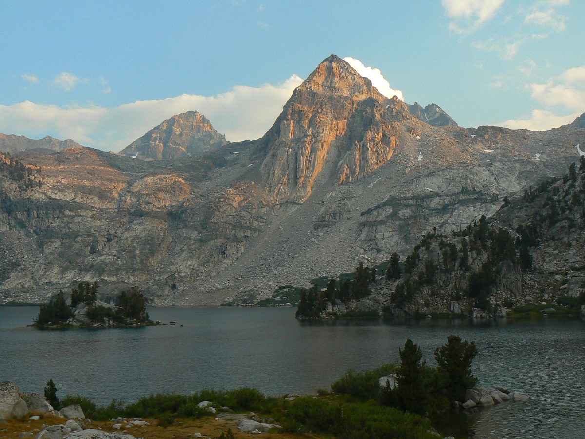
Banner from Thousand Islank Lk.
(Click the image for the full-size image)
|
|---|
|

|
|---|
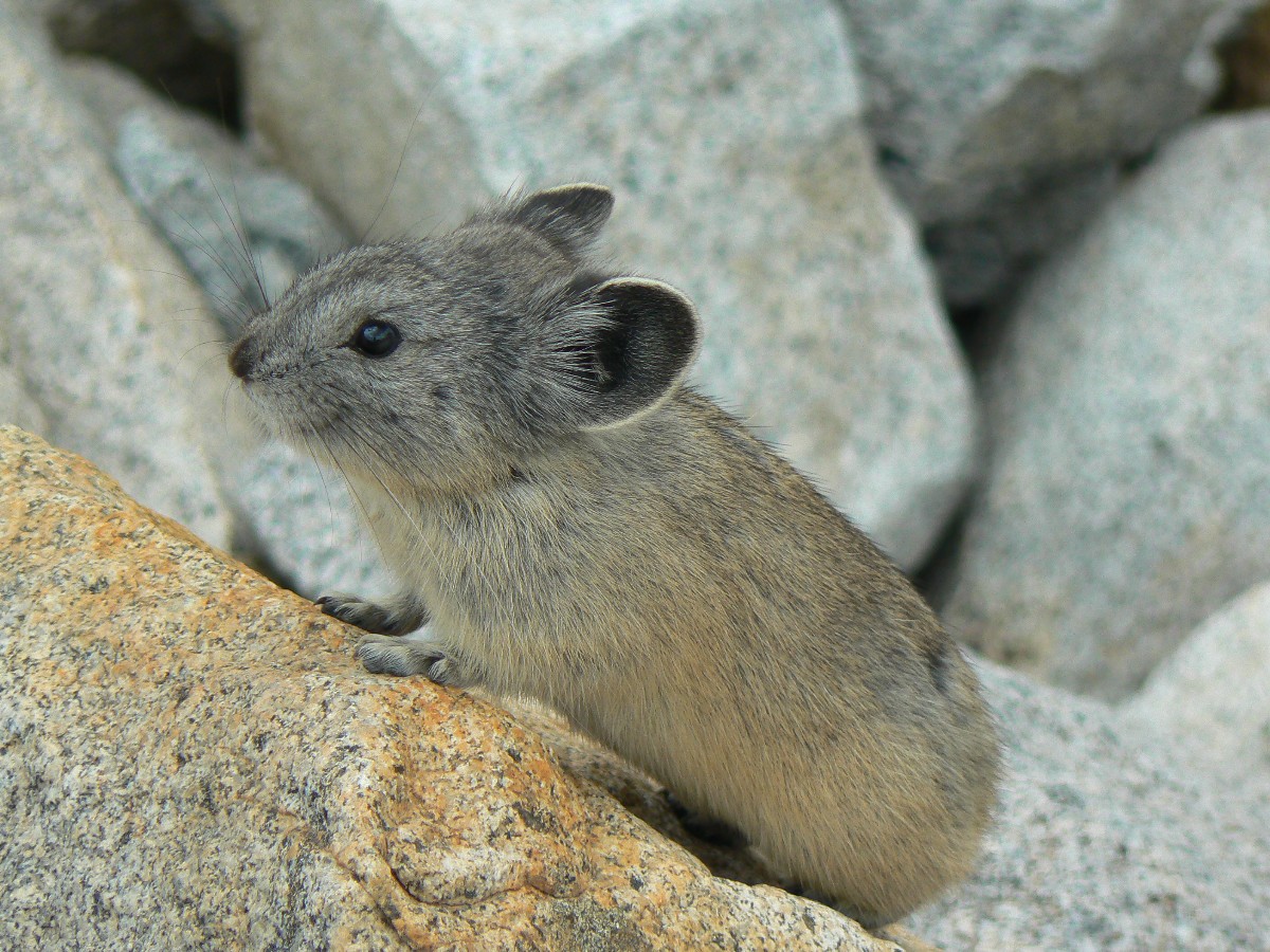
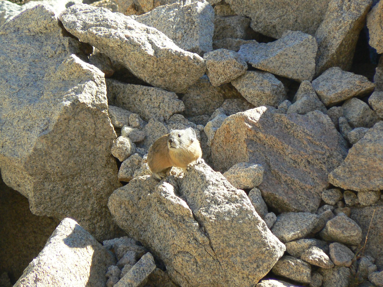
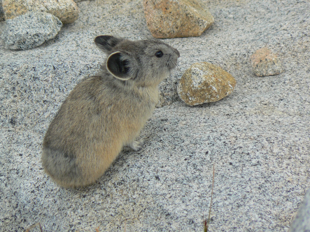
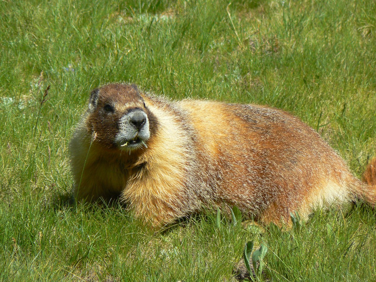
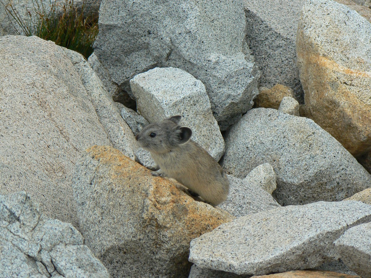
Pika - mountain mascot
(Click the image for the full-size image)
|
|---|
|
|
|---|
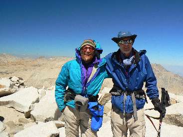
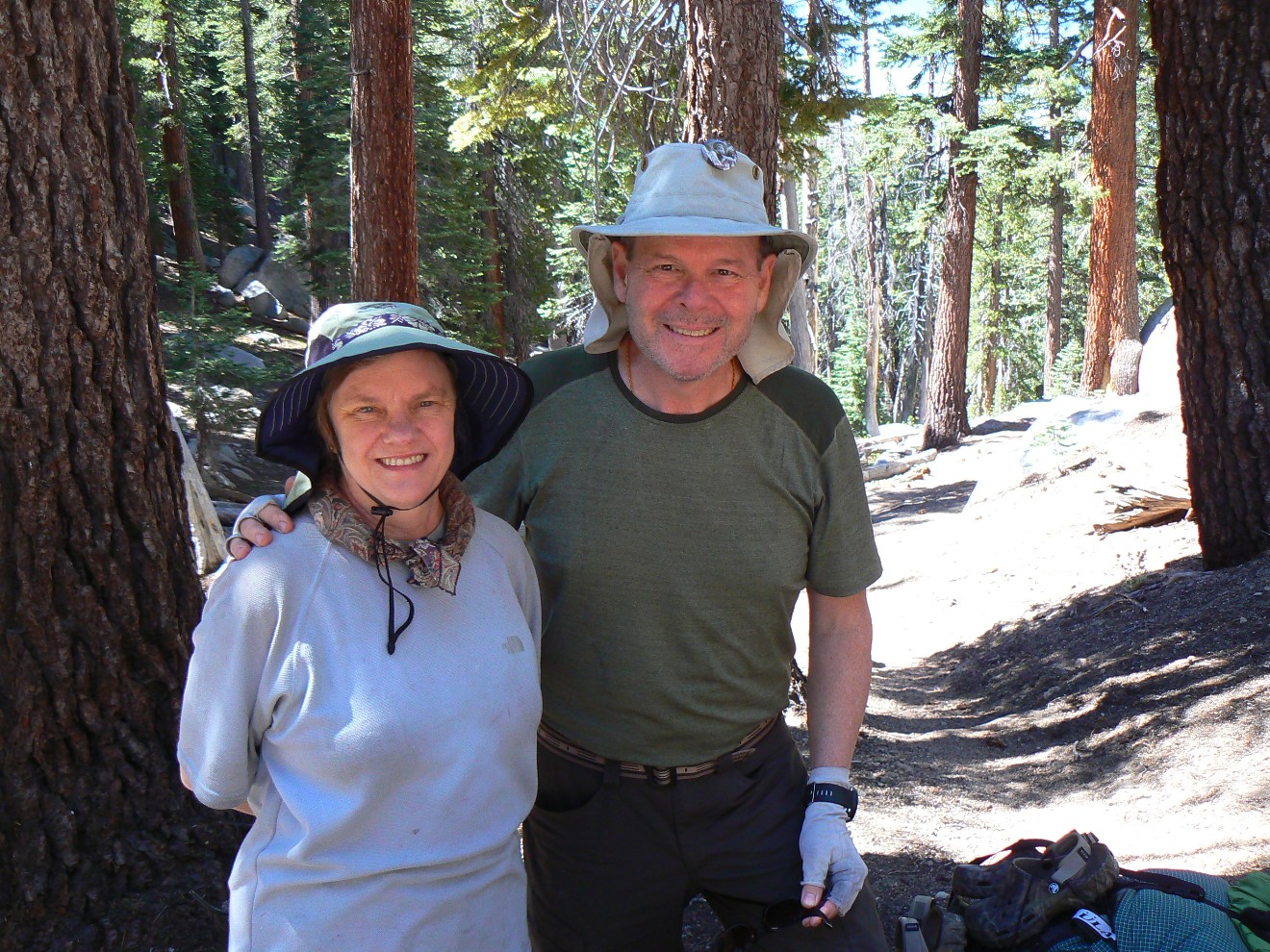
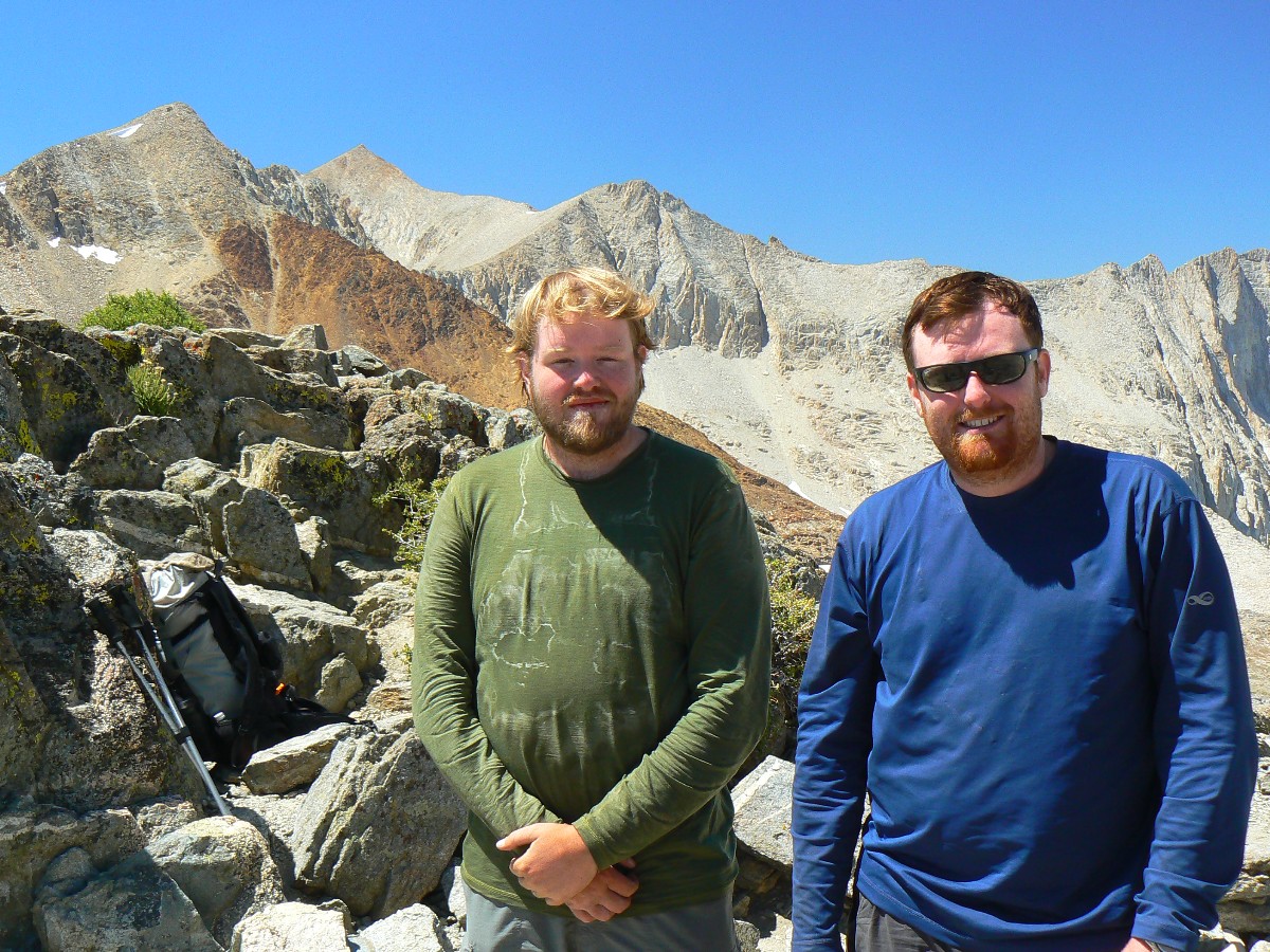
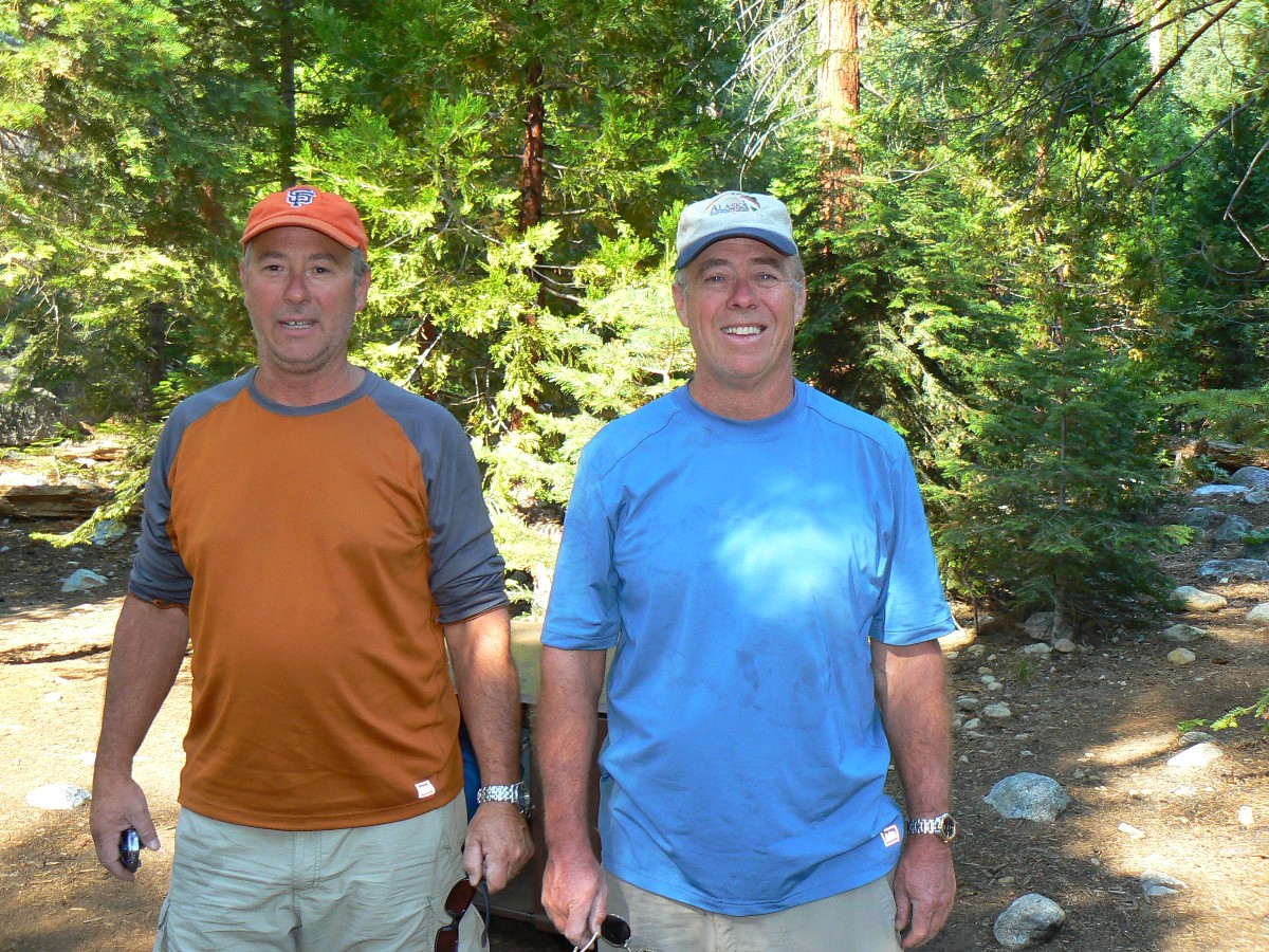
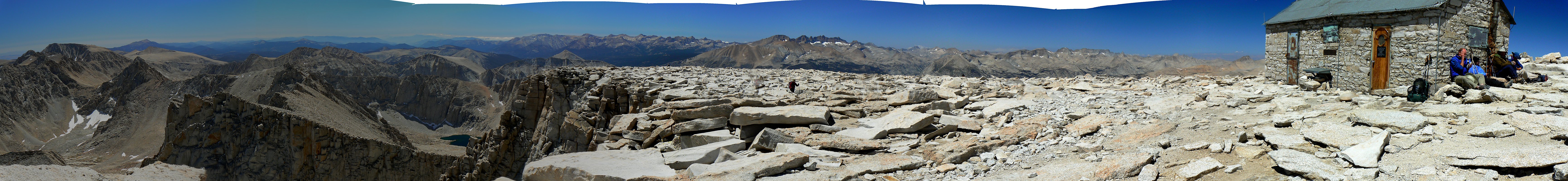
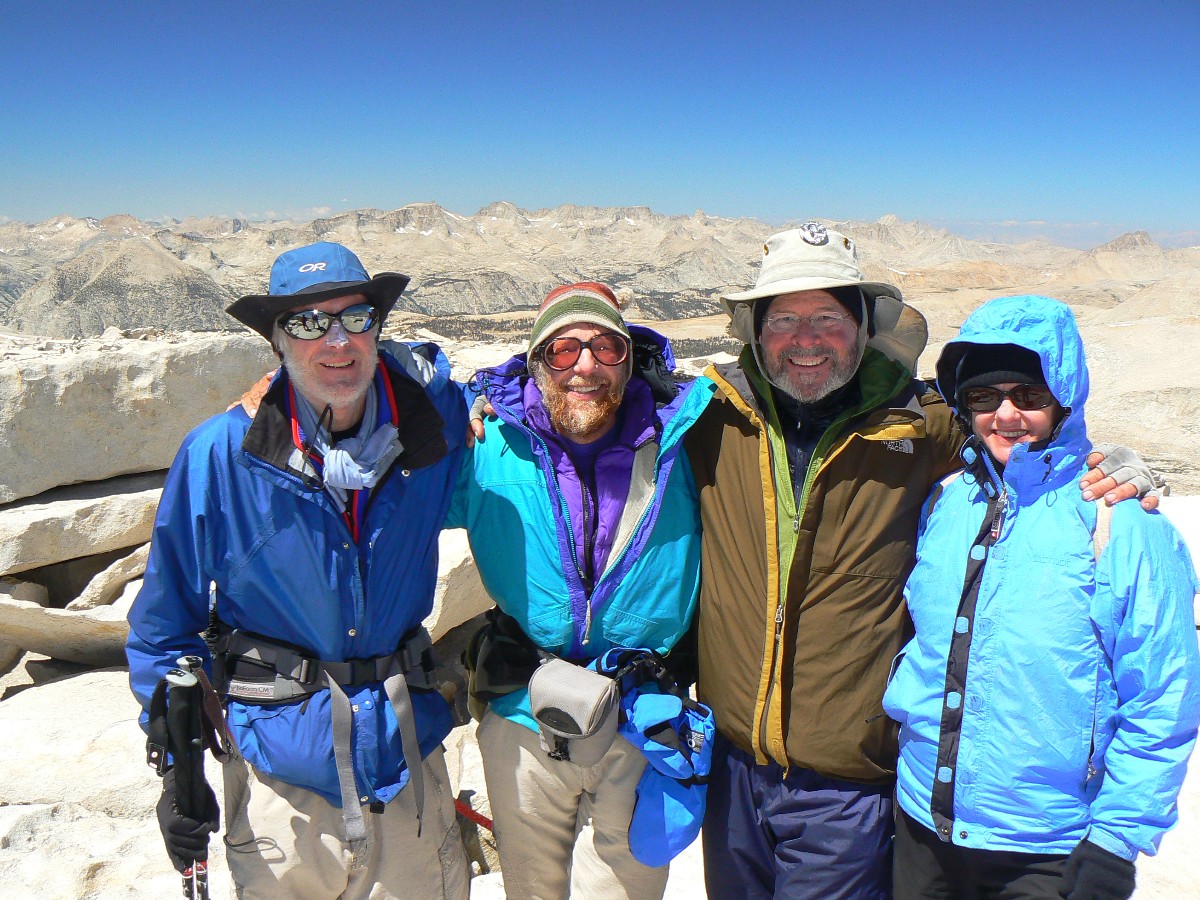
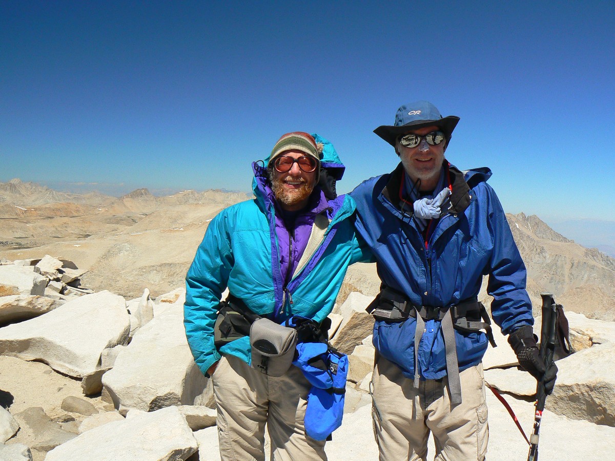
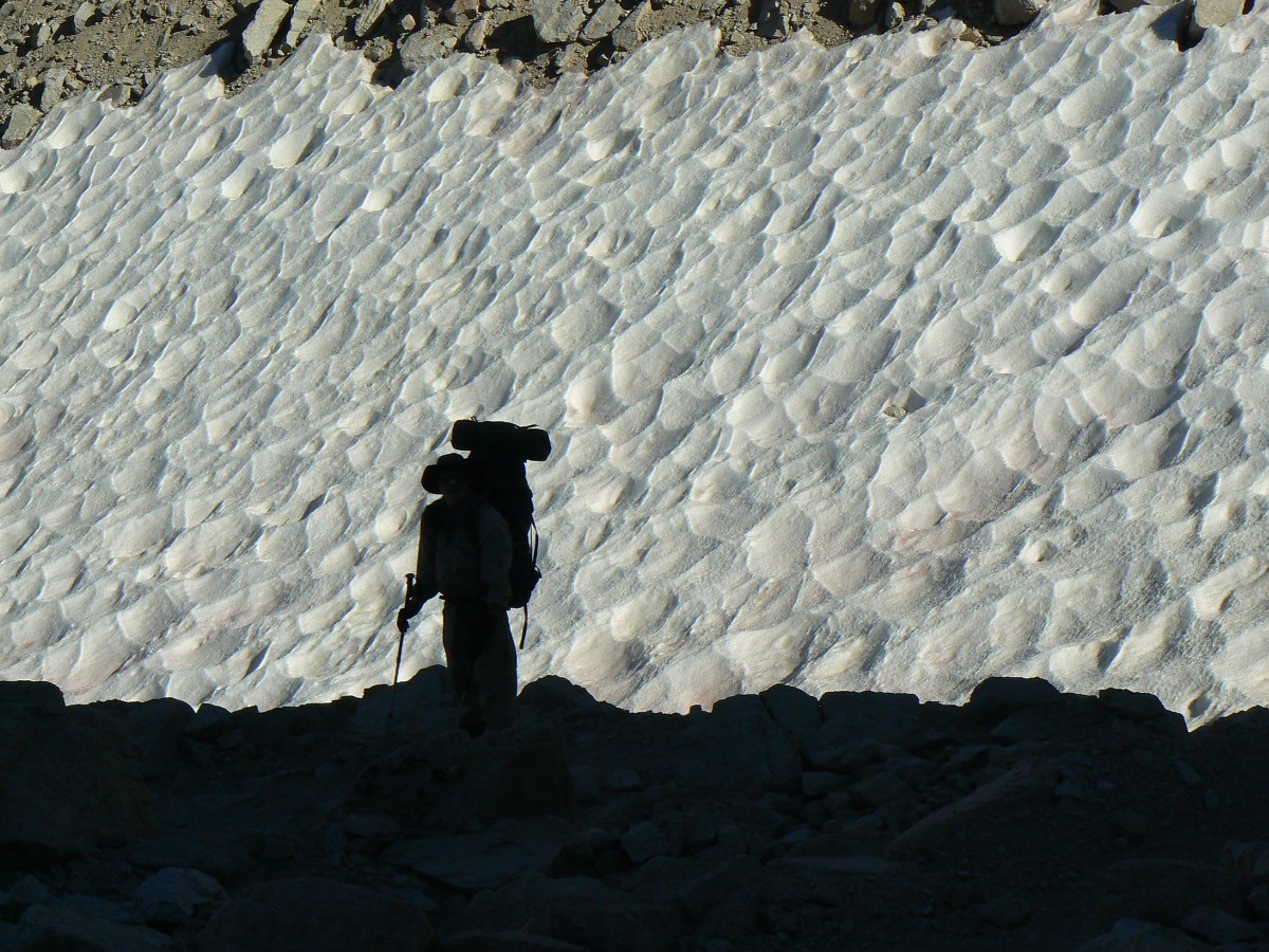
Rob & Dave on Mt. Whitney, 14,495'
(Click the image for the full-size image)
|
|---|
|

|
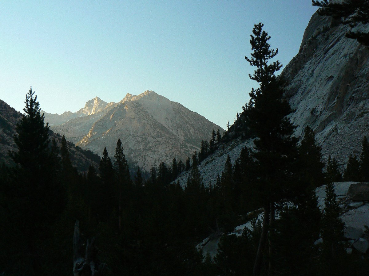
|---|
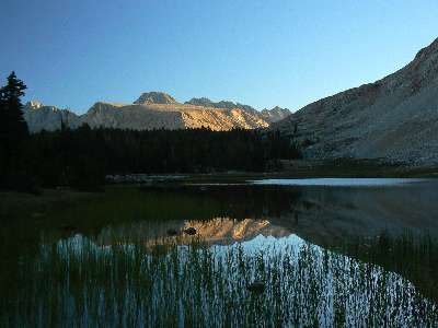
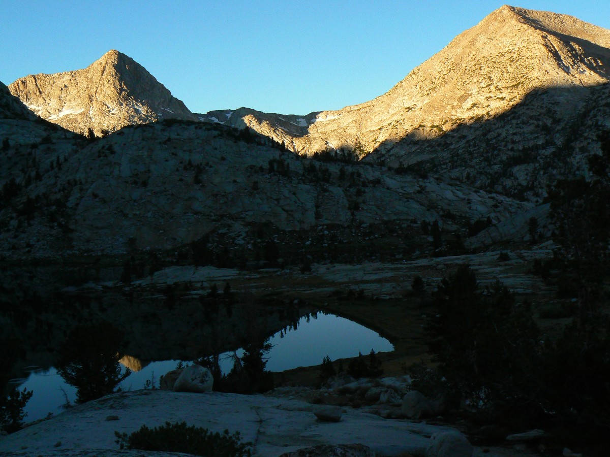
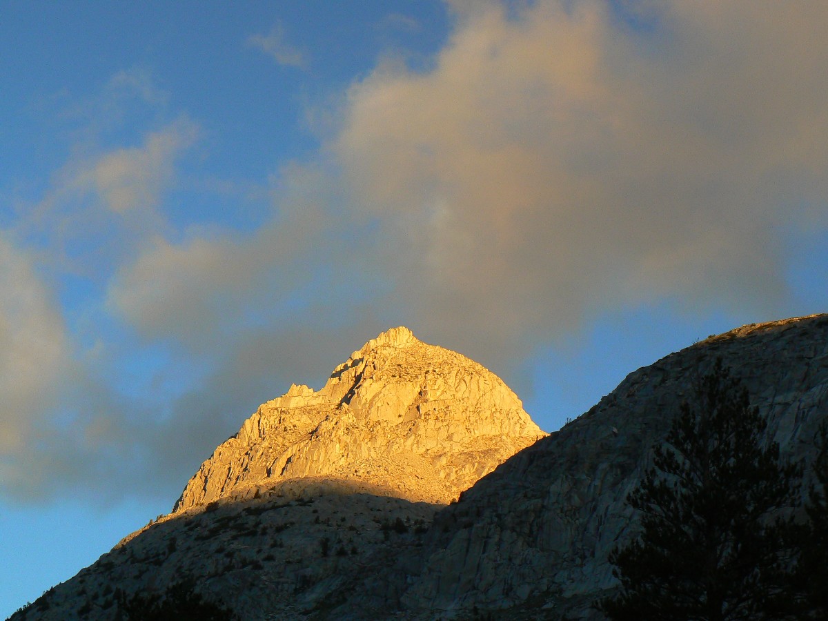
Early morning - route to Whitney
(Click the image for the full-size image)
|
|---|
|
|
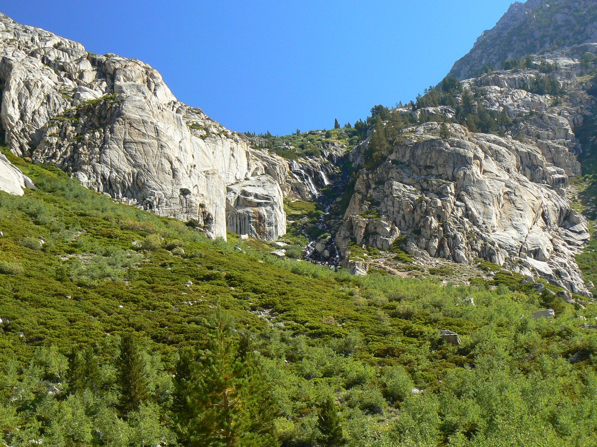
|---|
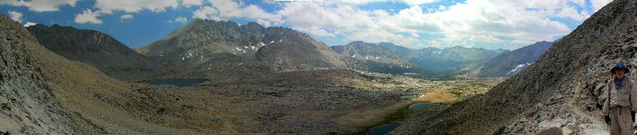
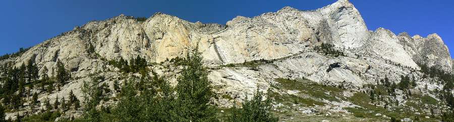
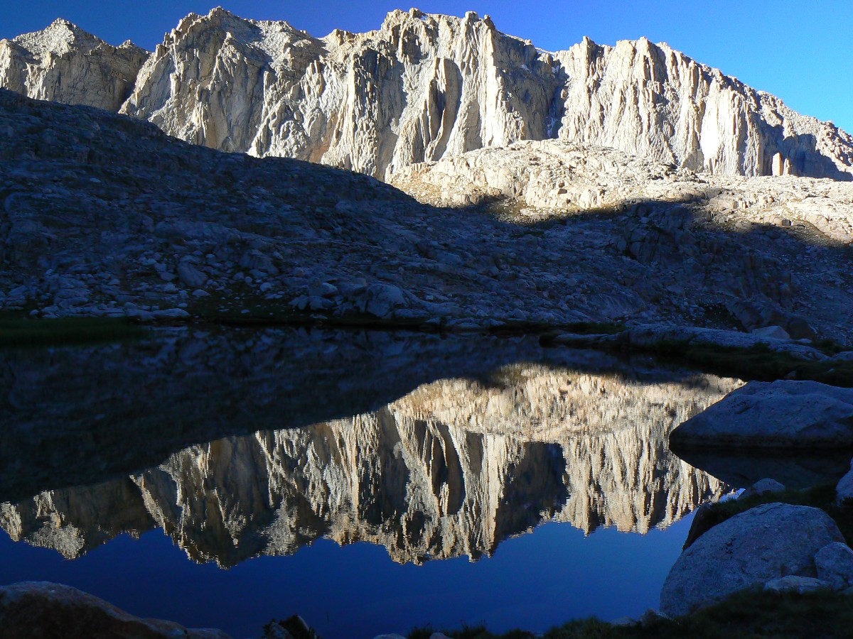
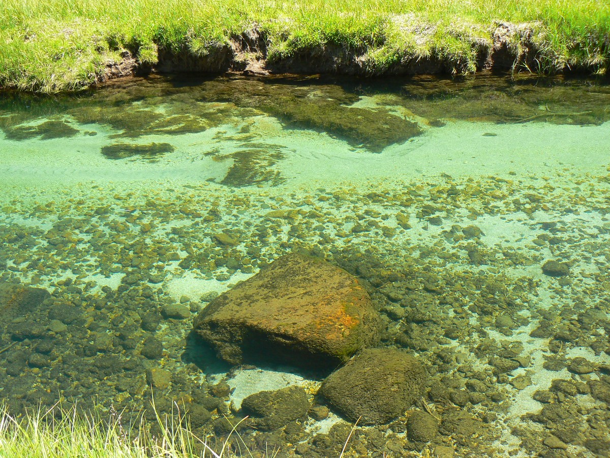
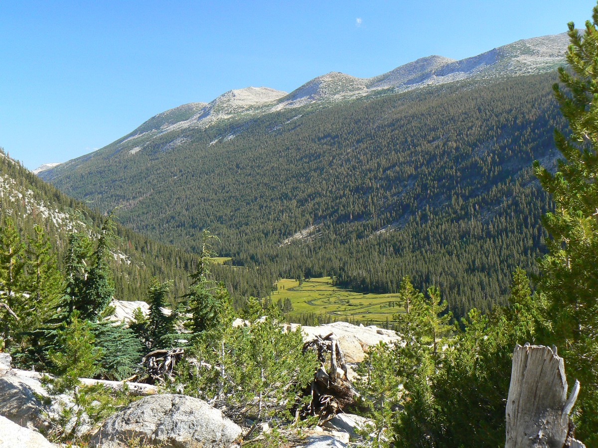
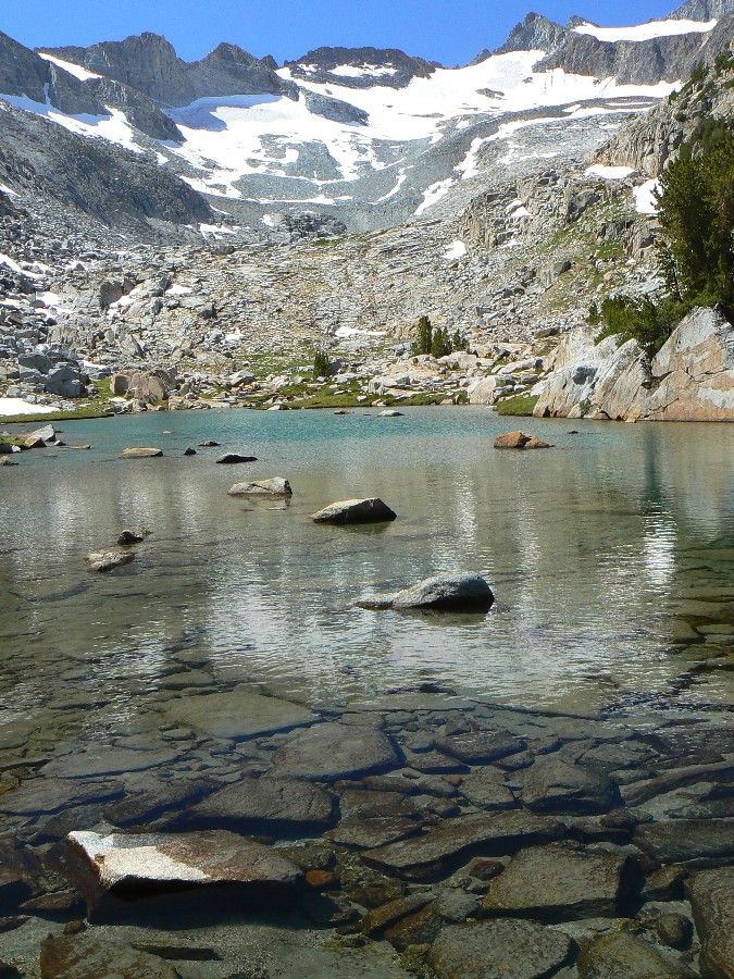
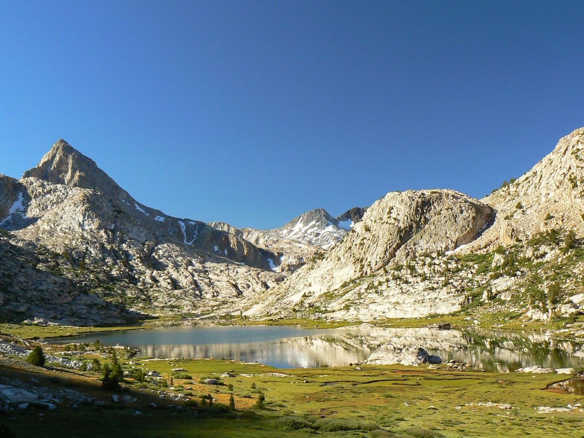
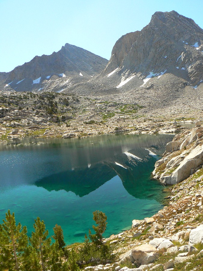
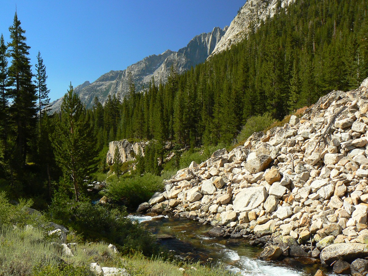
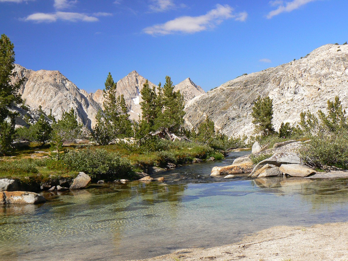
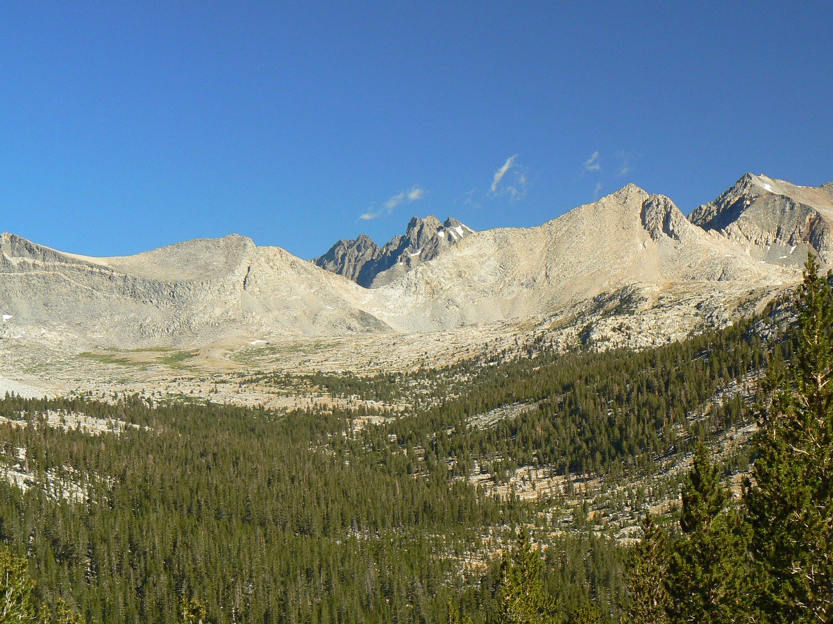
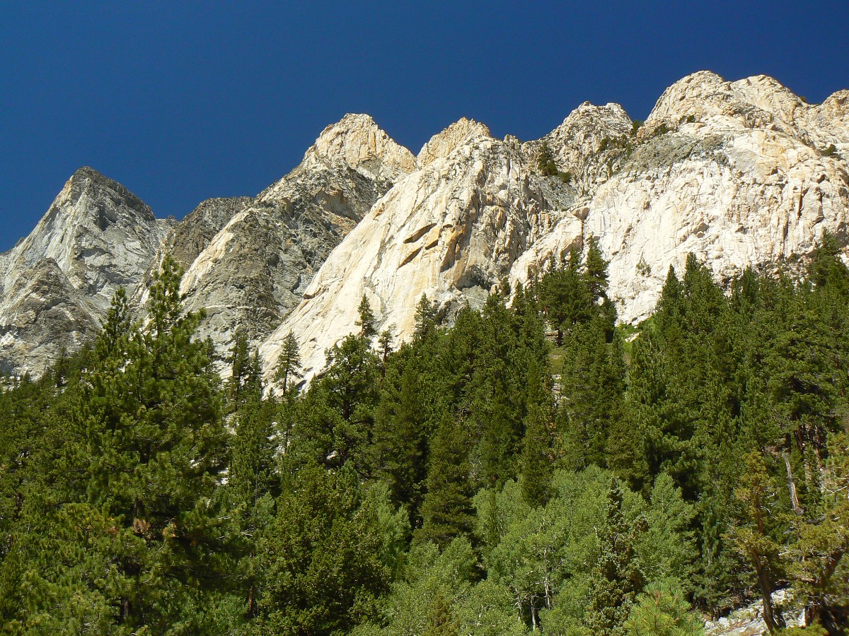
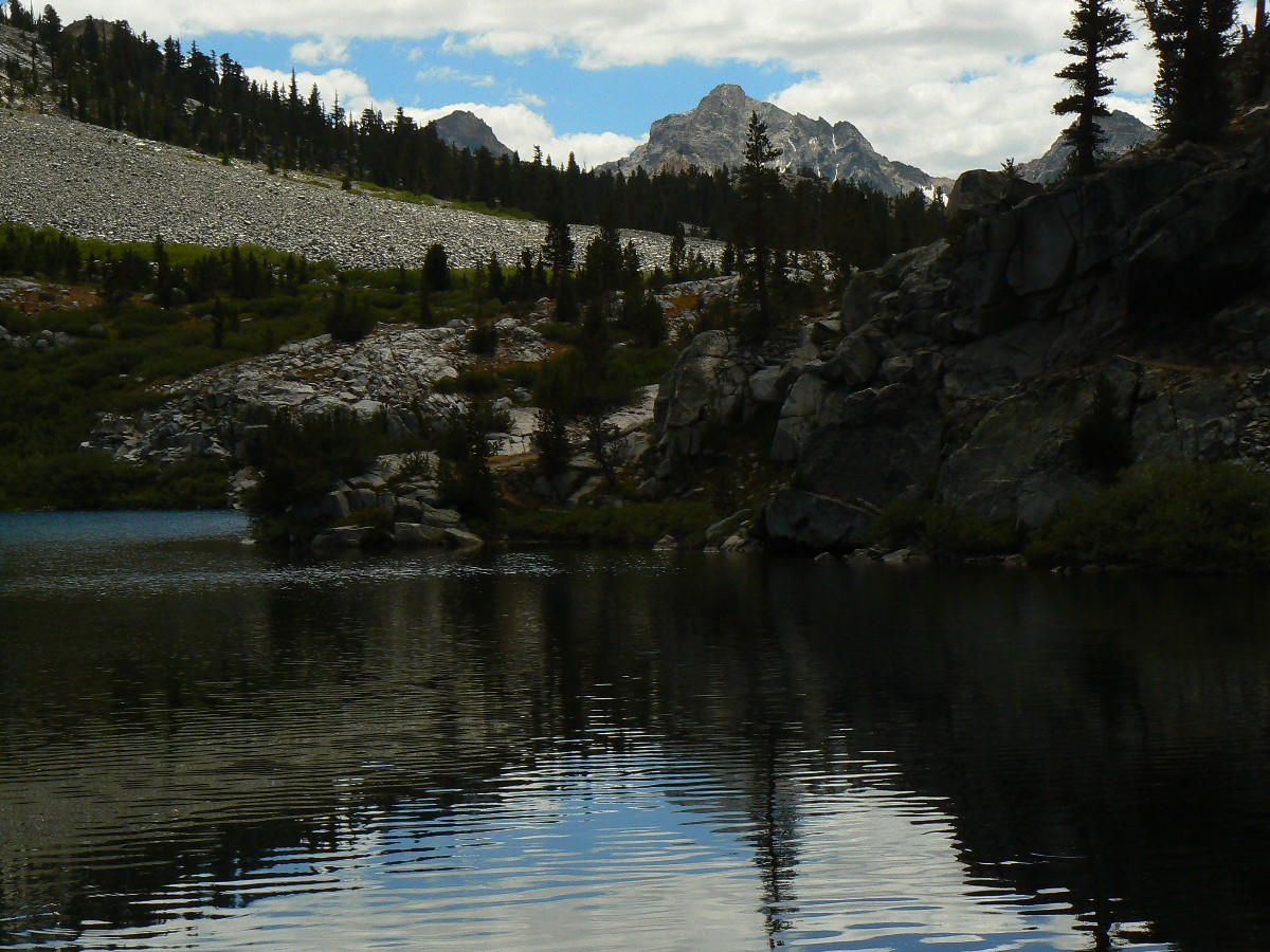
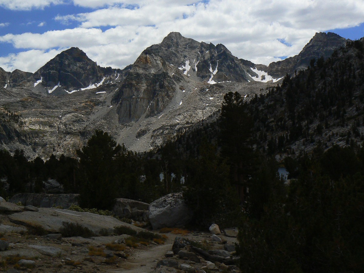
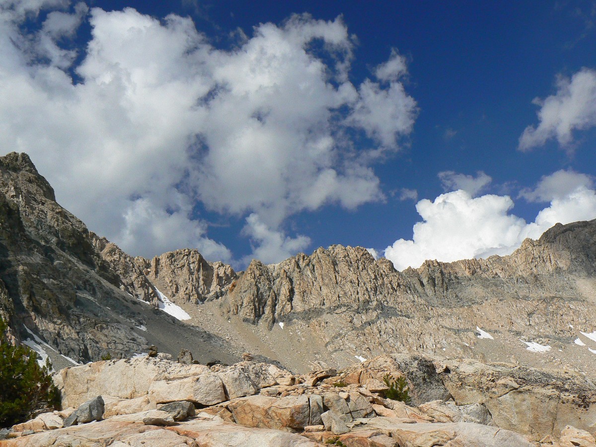
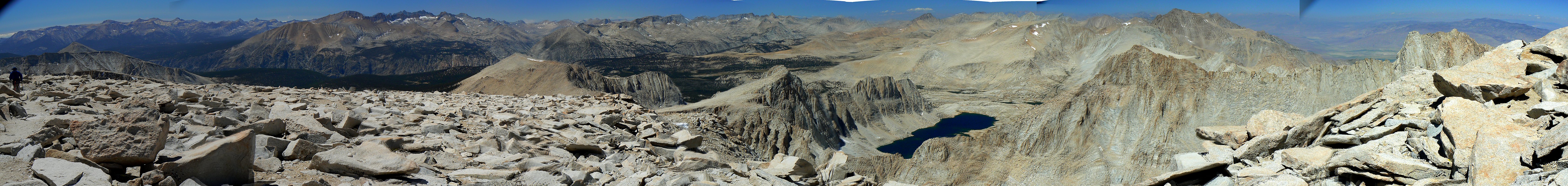
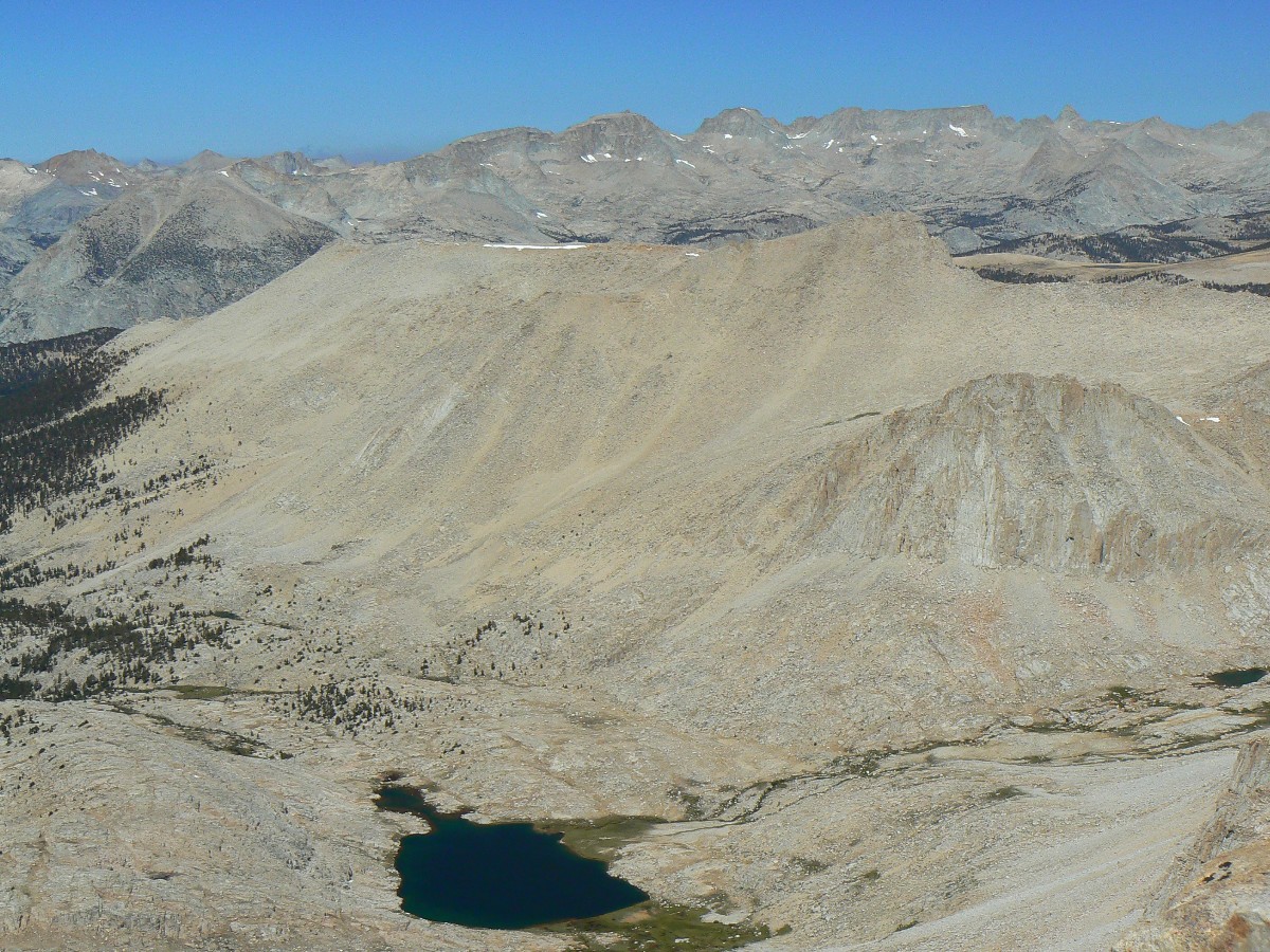
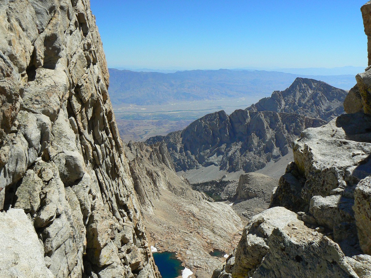
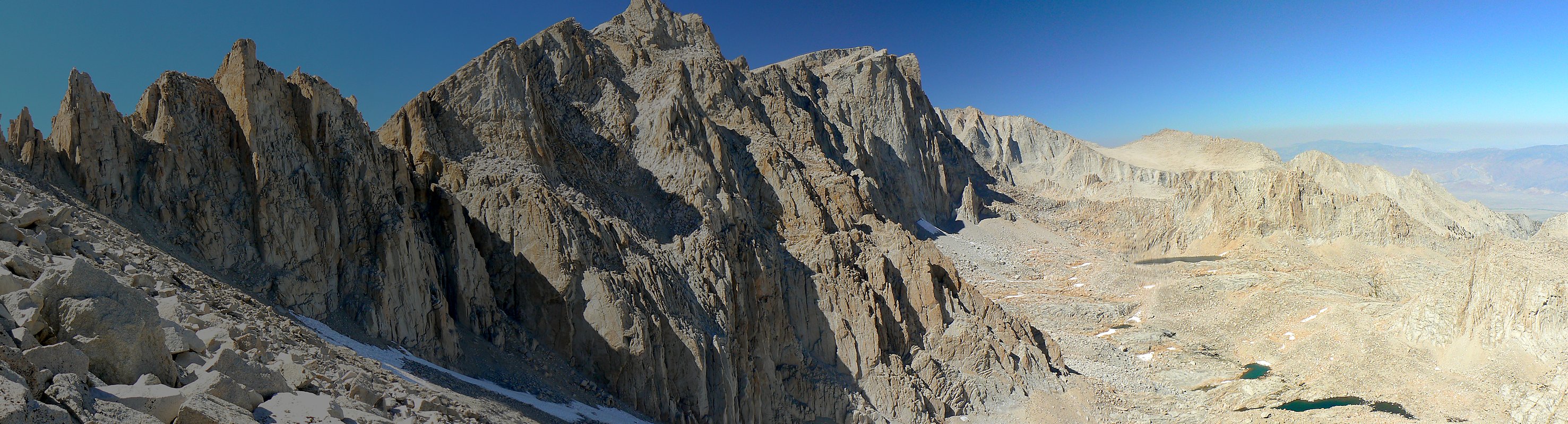
Diamond Mesa from Tyndall Frog Pond
(Click the image for the full-size image)
|
|---|
|
|
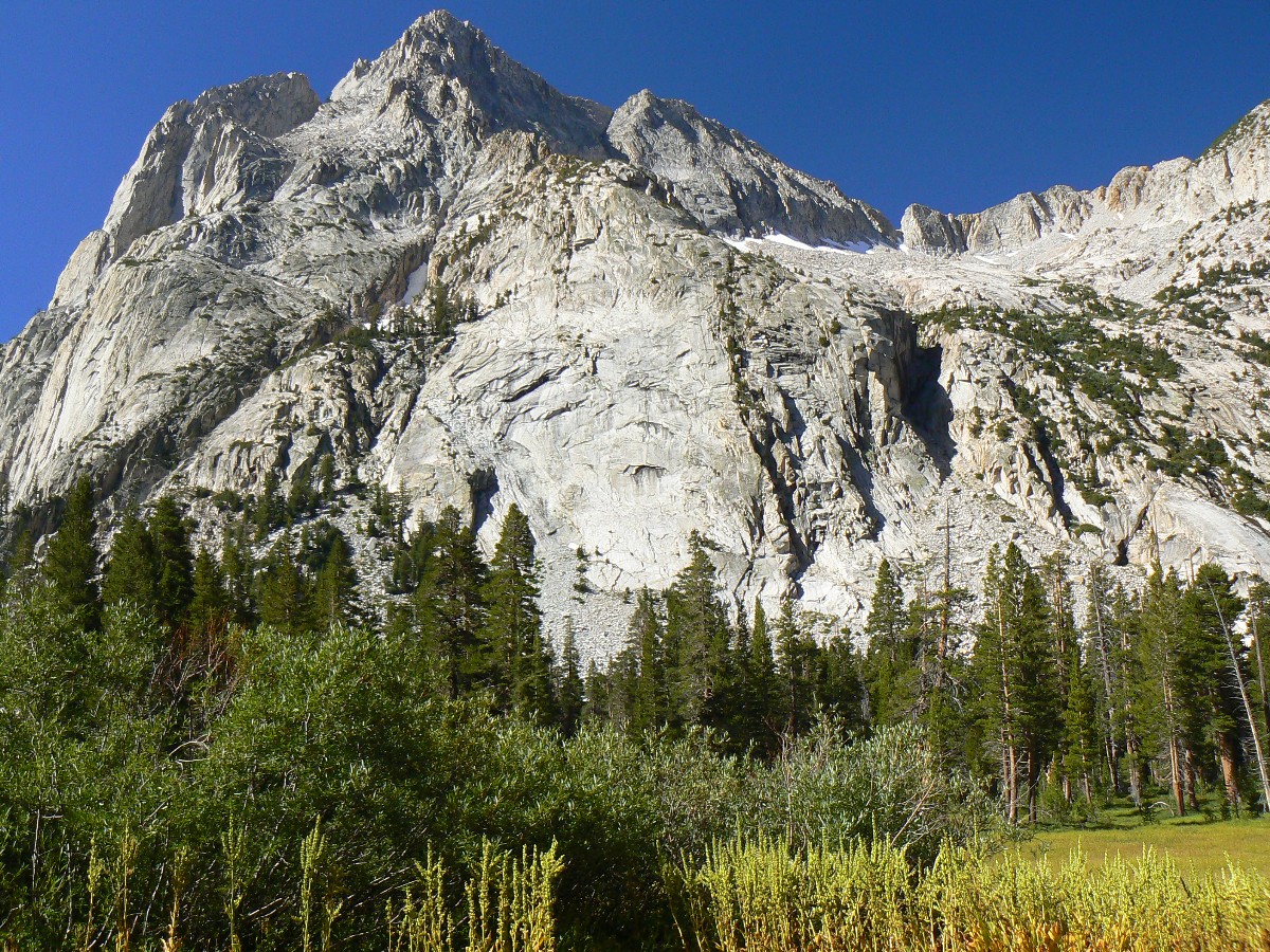
|---|
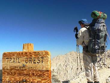
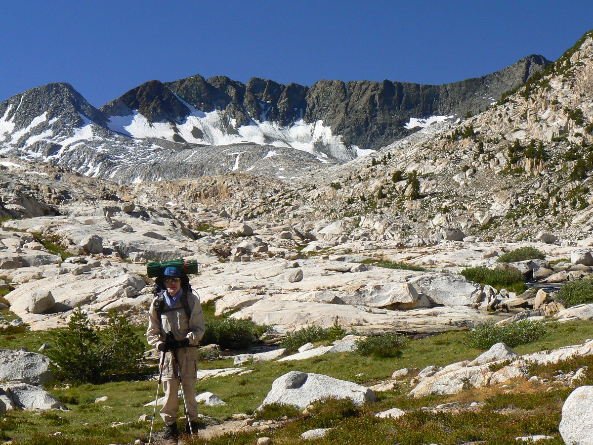
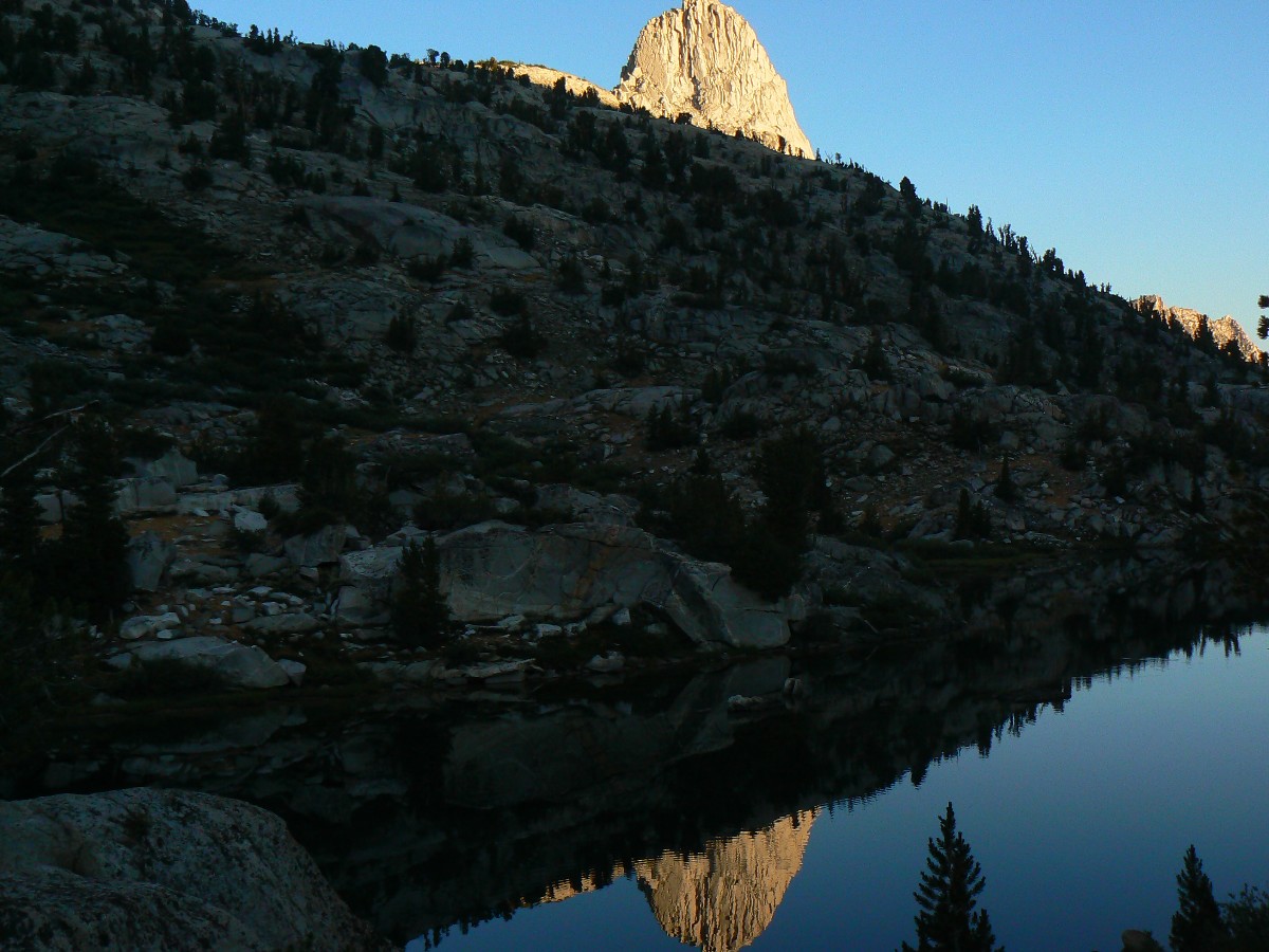
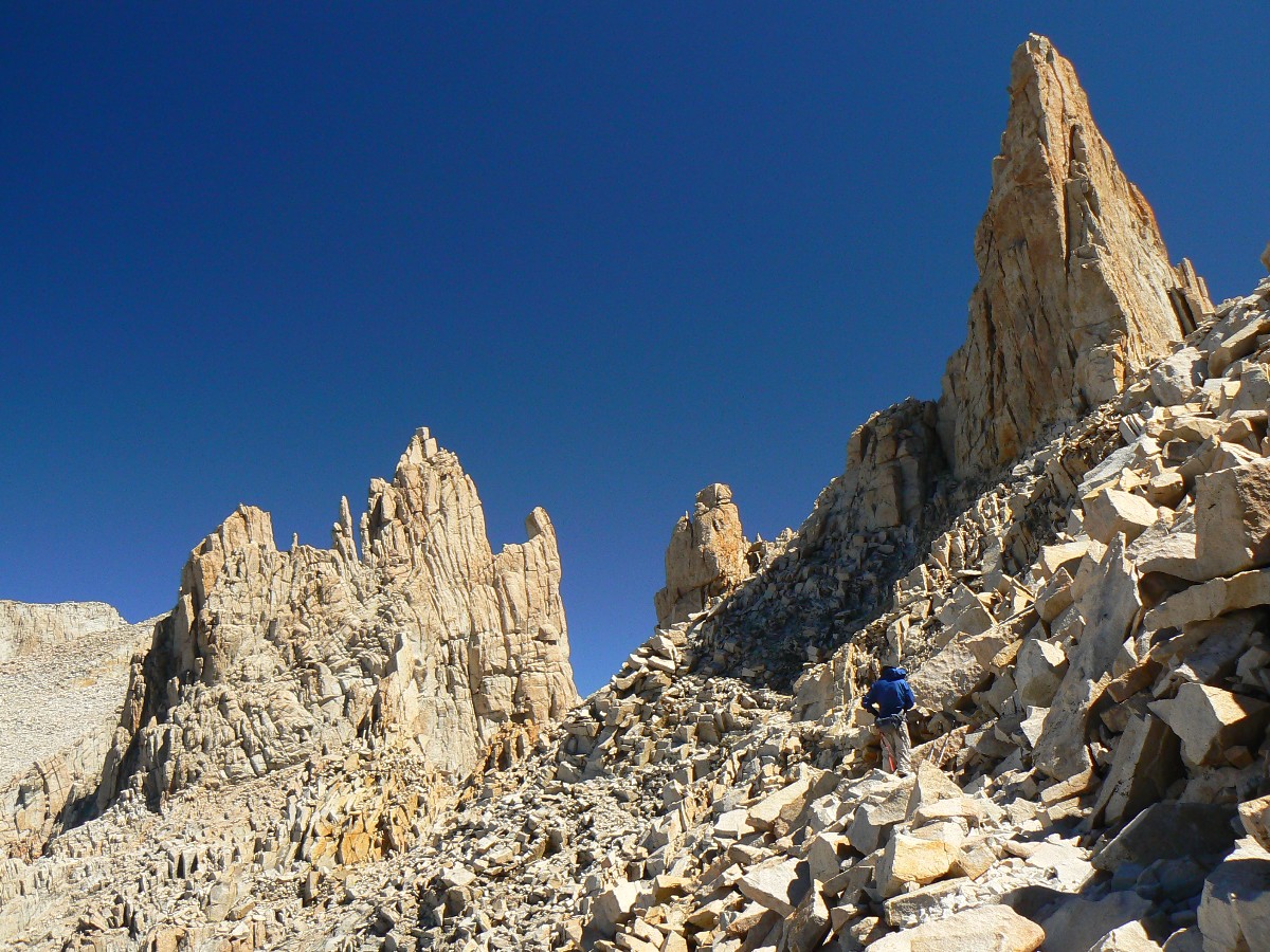
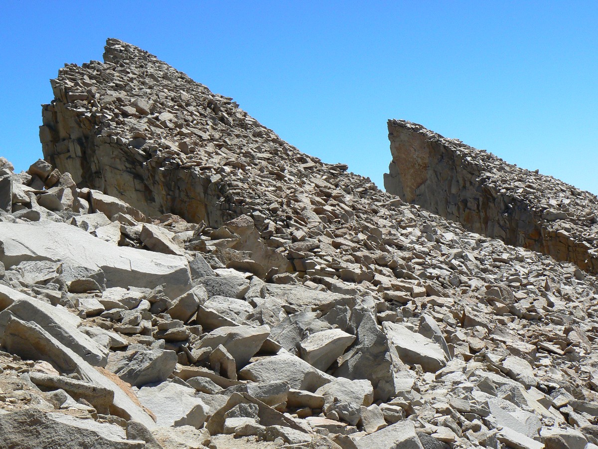
Dave at Trail Crest, 13,600'
(Click the image for the full-size image)
|
|---|
|
|
|---|
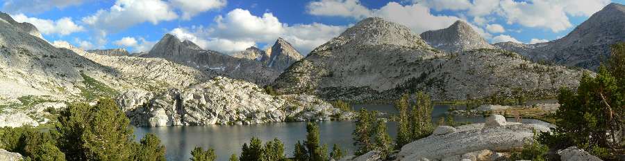
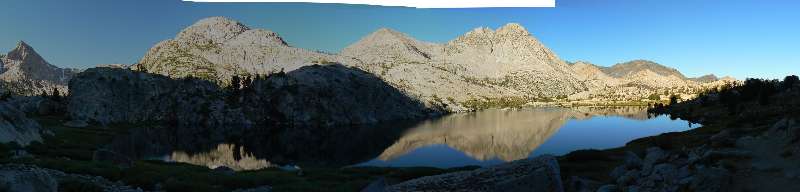
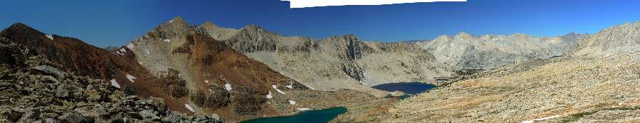
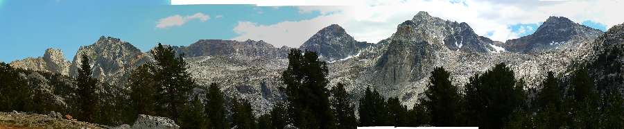
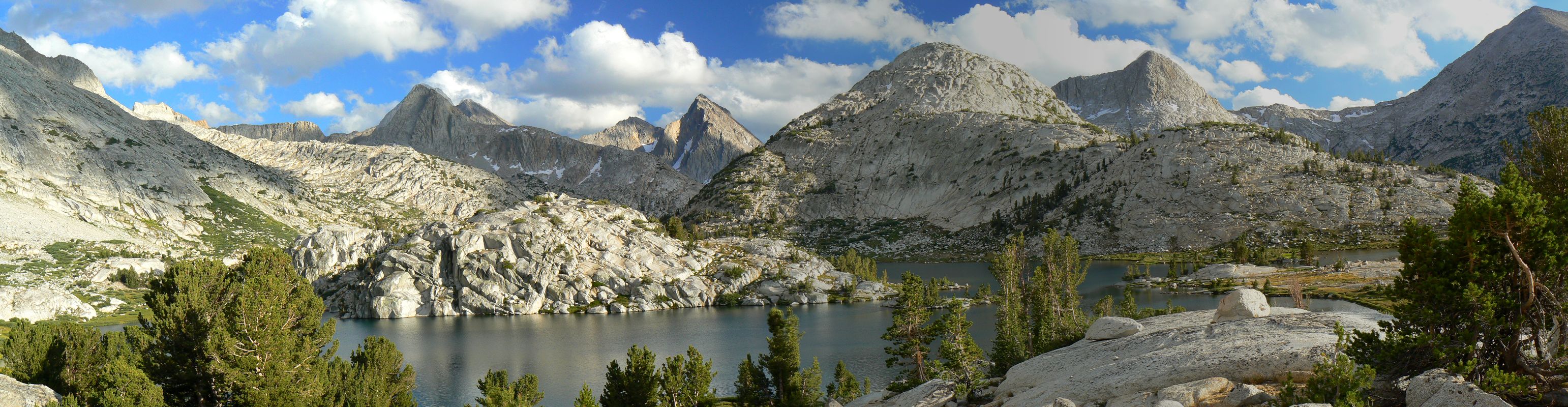
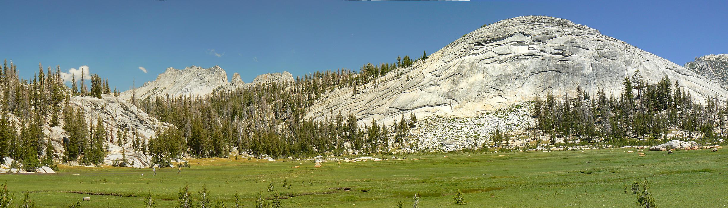
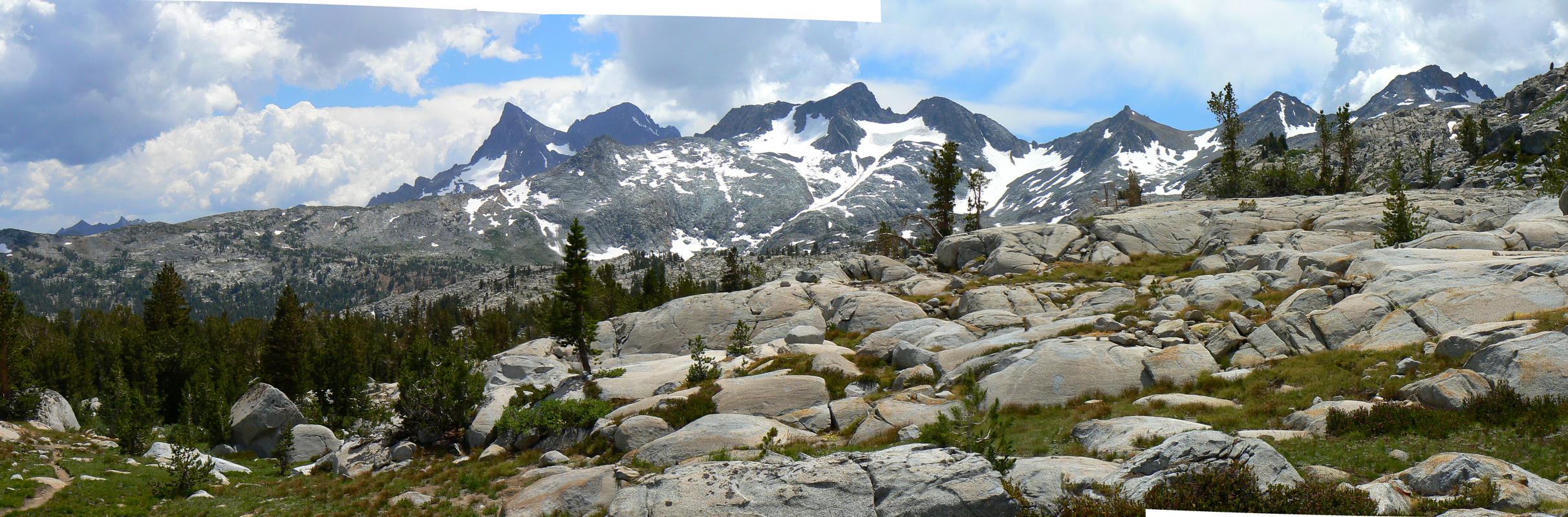
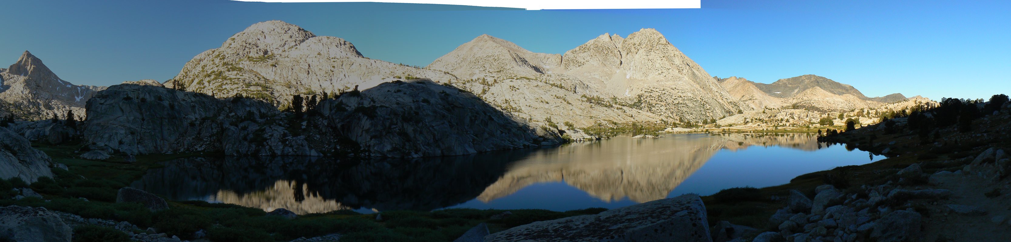
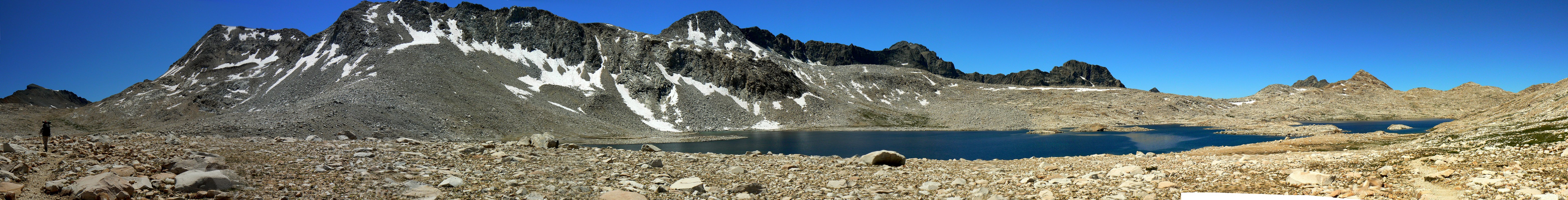
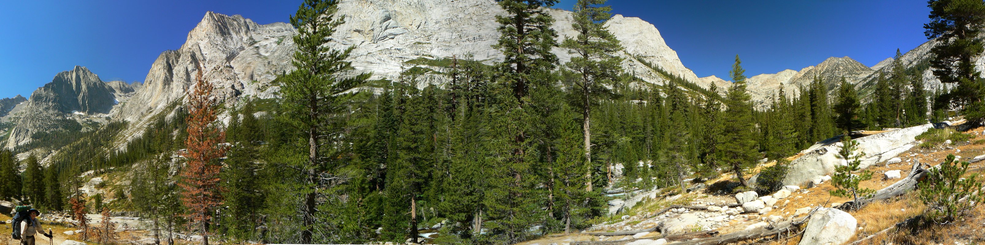
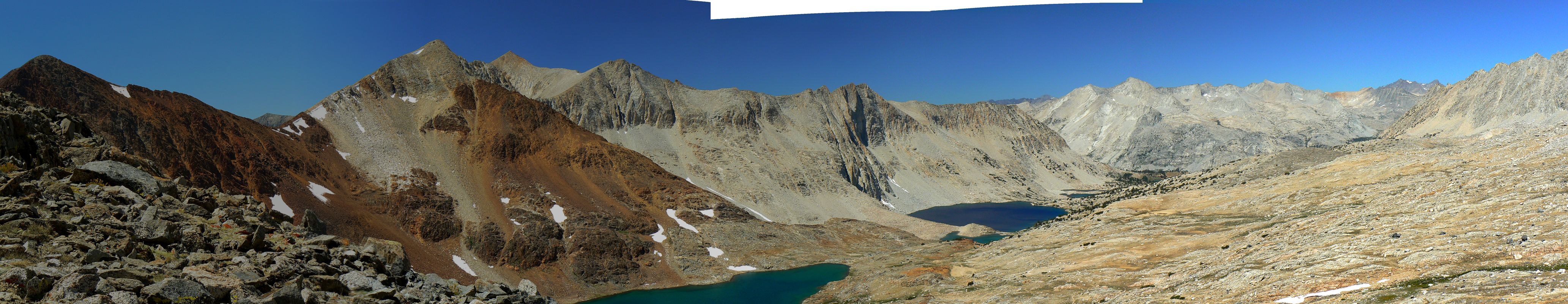
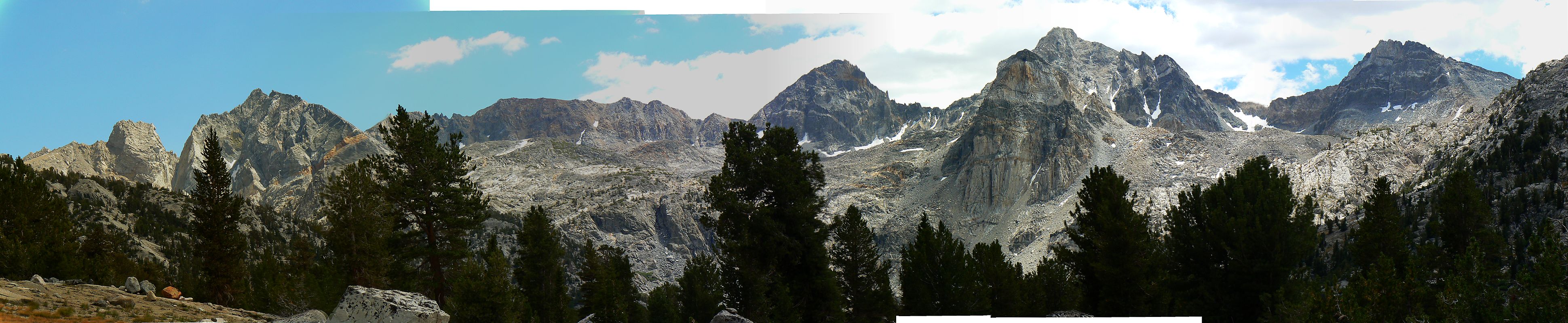
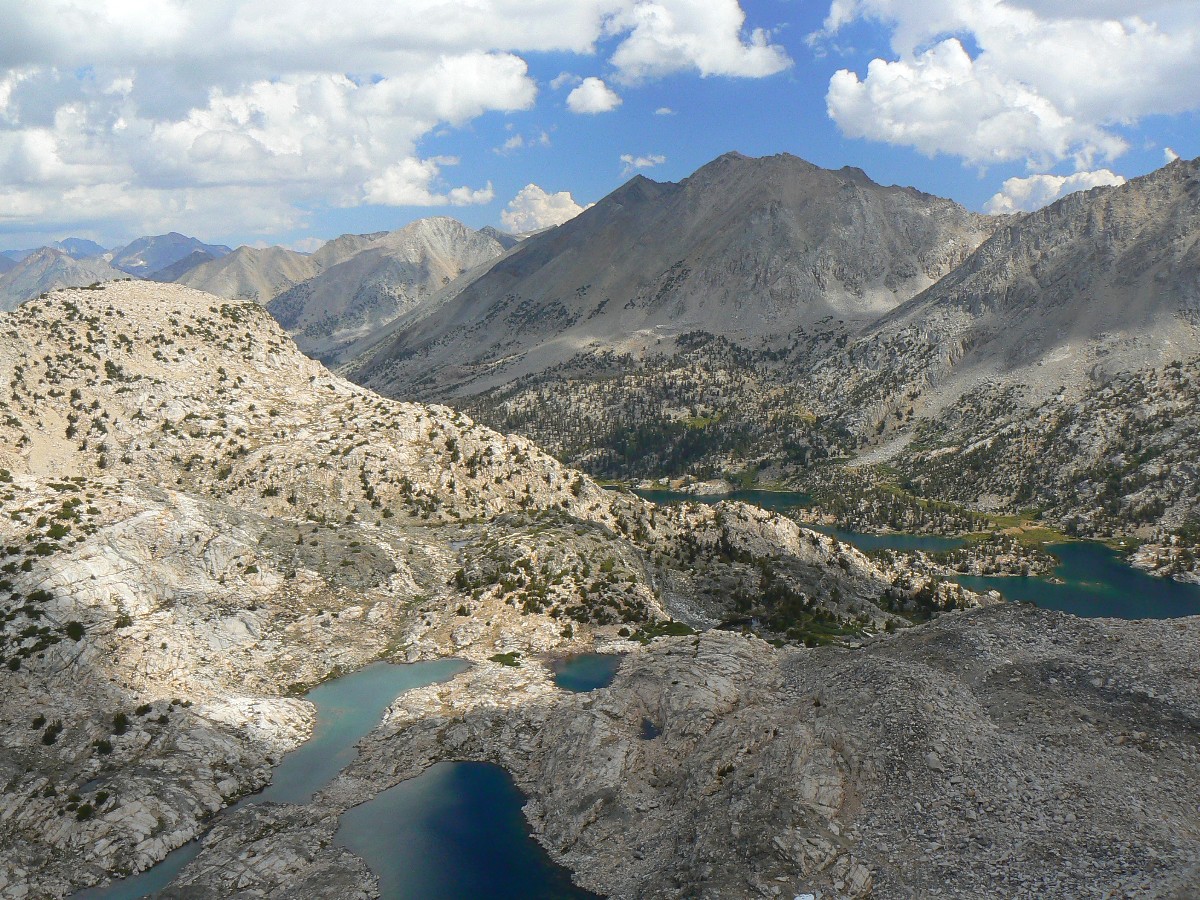
Pano of Evolution Lake #2 - Day 15 650kb
(Image is very wide - scroll to view it (3084 x 800; 650kb) - Click
the image for the full-size image)
|
|---|
|
|
|---|
Movie from Mt. Whitney - Day 27 - 32 MB
(Click the image to see the short video - 32 MB)
|
|---|
|
Summary:
This is a long report about our 28 day hike of the Jaunty Juggernaut, the John Muir Trail (JMT),
from Yosemite Valley to Whitney Portal. We hiked North to South and were refreshed with three resupplies:
at Reds Meadow, Muir Trail Ranch, and by Dave and Steve Cash who hiked into Upper Paradise to make hiking the
lower section possible.
This report contains: 5 Dynamic Maps, 7 Movies,
21 Panorama Photos, 278 Individual Photos, and the text right out of my trail journal - Yowee and enjoy!
This report contains a large number of photos, some panoramas, some short movies, and my narrative about
the JMT. Maps produced dynamically from my GPS tracks are also included. The map sections match our resupplies,
and you can move around in the maps. There is also a map with all sections represented. Allow the maps to load
under the GPS track – this might take awhile depending on your computer and how busy the map server is. Map
and narrative sections correspond to our resupplies:
Section 1: Happy Isles (Yosemite Valley) to Reds Meadow
Section 2: Reds Meadow to Muir Trail Ranch
Section 3: Muir Trail Ranch to Woods Creek/Paradise Valley
Section 4: Woods Creek to Whitney Portal
ERM = Energy Required Miles. A mile is added for
every 500' elevation gain or
loss. It's a very serviceable method of estimating energy required miles. ERM was initially used in Trails
of the Tetons (long out of print) by Paul Petzold, founder of NOLS. It's a wonderfully useful concept and
application. Add one mile for each 500' up AND down to distance = ERM. I use ERMs to calculate what the actual
day is like. It's a very serviceable method of estimating energy required miles. Remember, however, that the
ERMs are estimates because they depend on GPS satellite coverage and math functions.
Total Trail Miles – 218.5 JMT miles + 14 resupply, etc. = 232.5 total trail miles.
Total ERM = 427.2 (best estimate), nearly twice the trail miles. This estimate comes from including the
approximately 97,000’ feet of elevation gained and lost along the JMT and Woods resupply, and adding this
to the trail miles produces the ERMs.
“Wenk Miles” or “JMT miles” reference the official JMT mileage as specified in Elizabeth Wenk’s
book, a trail bible. See the links section at the bottom of this report for references.
Below is our plan for the JJ (Jaunty Juggernaut). Dave produced this excellent draft and
we ended up mostly following it. We changed some camps to get closer to the base of those big passes the day
before going over the pass.
|
|---|
Plan for hiking the JMT - Jaunty Juggernaut
PDF file
|
|---|
|
Now - on with the Jaunty Juggernaut – Hiking
the JMT (John Muir Trail)!
"The mountains are calling and I must go".
- John Muir
"Wilderness is not only a haven for native plants
and animals, but it is also a refuge from society. It's a place to go to hear the wind and little else, see the
stars and the galaxies, smell the pine trees, feel the cold water, touch the sky and the ground at the same time,
listen to coyotes, eat fresh snow, walk across the desert sands, and realize why it's good to go outside of the city
and the suburbs.".
- John Muir
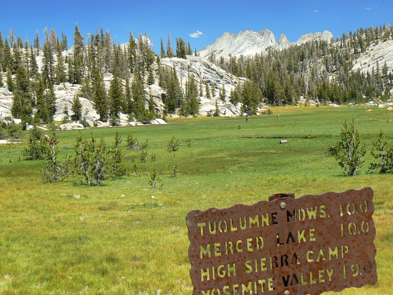
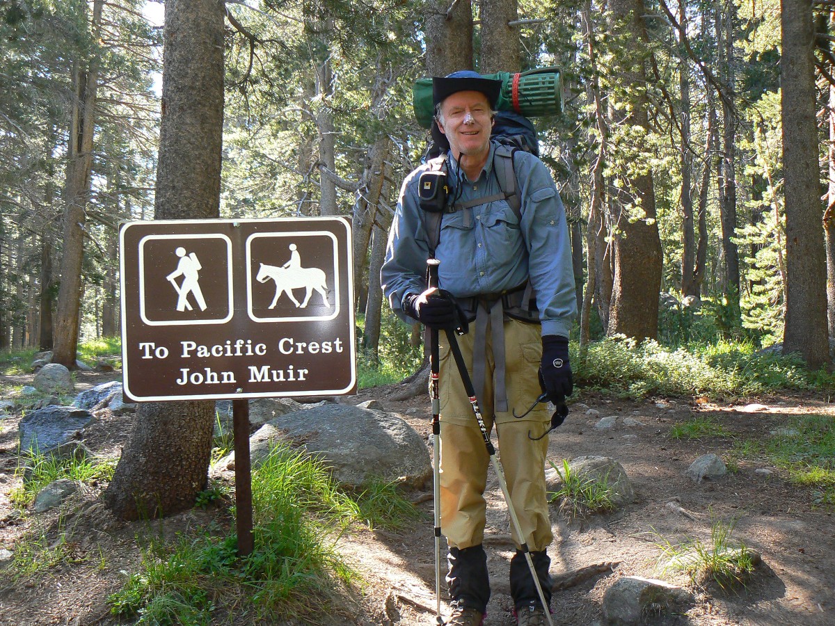
 Map - All JMT sections: Click here to go to (all sections) my GPS track
backpacking The Jaunty Juggernaut, the JMT.
Map - All JMT sections: Click here to go to (all sections) my GPS track
backpacking The Jaunty Juggernaut, the JMT.
It will appear as a Google map on a USGS topo background. Change the scale of the map (the "+")
to better see the route. Move around on the map with the 'hand.'
Click here to enjoy a full-screen view. Enjoy
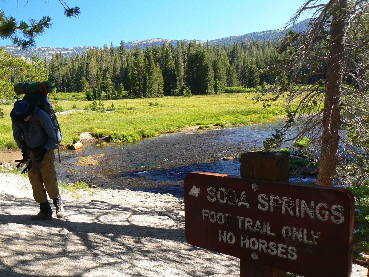
Map - JMT Section 1: Click here to go to
Section 1 -Happy Isles (Yosemite Valley) to Reds Meadow
Map - JMT Section 2: Click here to go to Section 2:
Reds Meadow to Muir Trail Ranch
Map - JMT Section 3: Click here to go to
Section 3: Muir Trail Ranch to Woods Creek/Paradise Valley
Map - JMT Section 4: Click here to go to
Section 4: Woods Creek to Whitney Portal
Note: See the Links section (bottom of page) for a summary of panos, maps, and videos
of the JMT.
I suggest you start downloading the movies you wish to watch while reading
the narrative and perusing the photos - this way, the movies will pop up while you are enjoying the Jaunty
Juggernaut. Here is a list of the JMT movies:
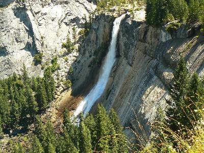
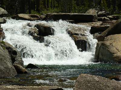
Click here to: see a Movie of Nevada Falls - Day 1 - 14 MB.
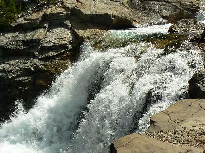
Movie of a Tuolumne Cascade - Day 4 - 6 MB.
Movie of sluicing Bear Creek - Day 12 - 5 MB.
Movie of mighty Evolution Creek #1 - Day 15 - 23 MB.
Movie of mighty Evolution Creek #2 - Day 15 - 20 MB.
Movie of Dave on the Golden Gate of the Sierra - Day 20, 6.4 mb.
Movie from Mt. Whitney - Day 27 - 32 MB.
|
|---|
Movie of Nevada Falls - Day 1 - 14 MB
(Click the image to see the short video - 14 MB)
|
|---|
|
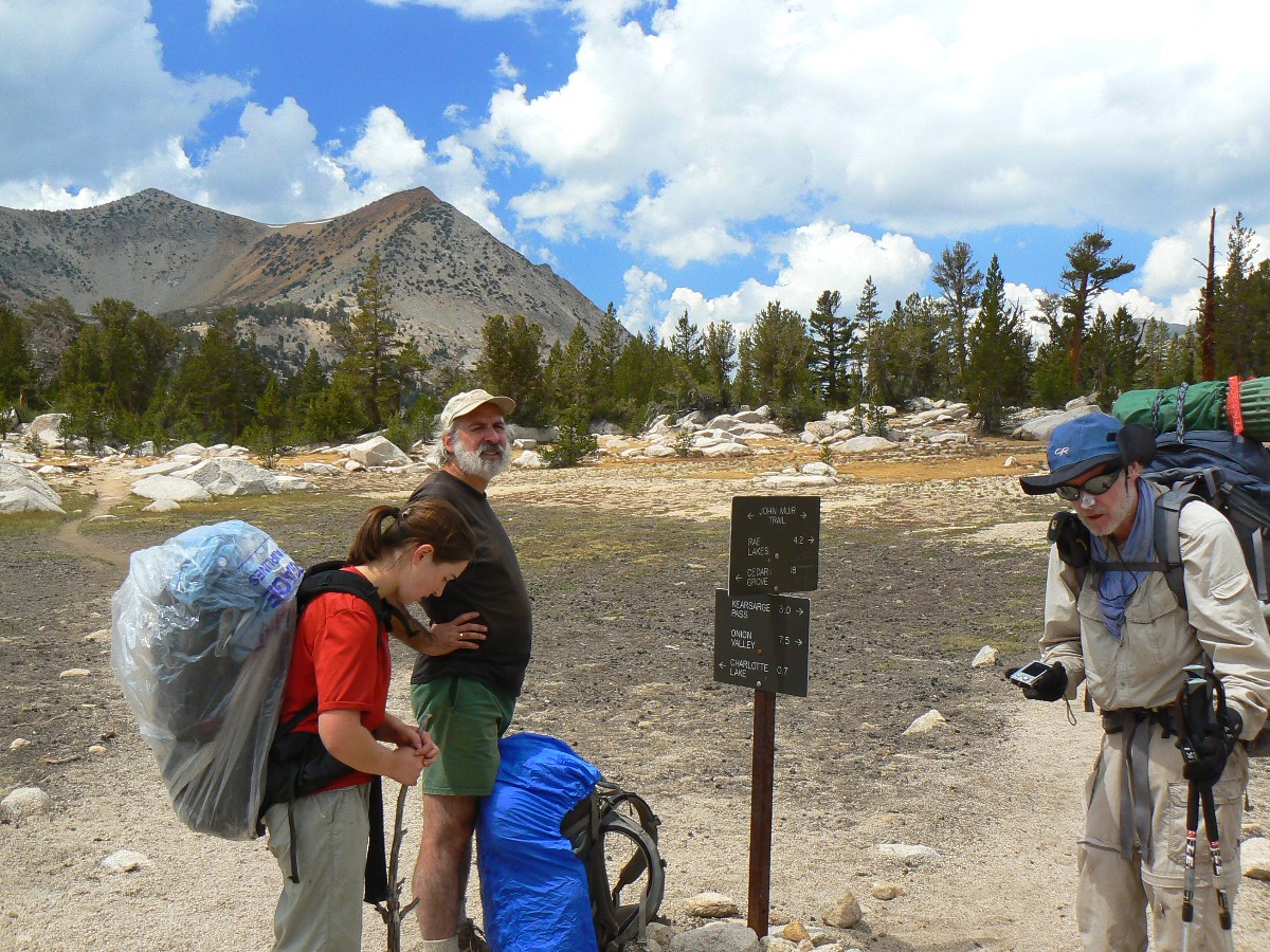
JMT - Day 1 Photos by Rob
JMT - Day 1 Photos by Rob
|
|---|
First ascent of El Capitan (Argosy article, 22mb)
(Click the 10 page pdf - 22 MB)
|
|---|
|
"In every walk with Nature one receives
far more than he seeks". - John Muir
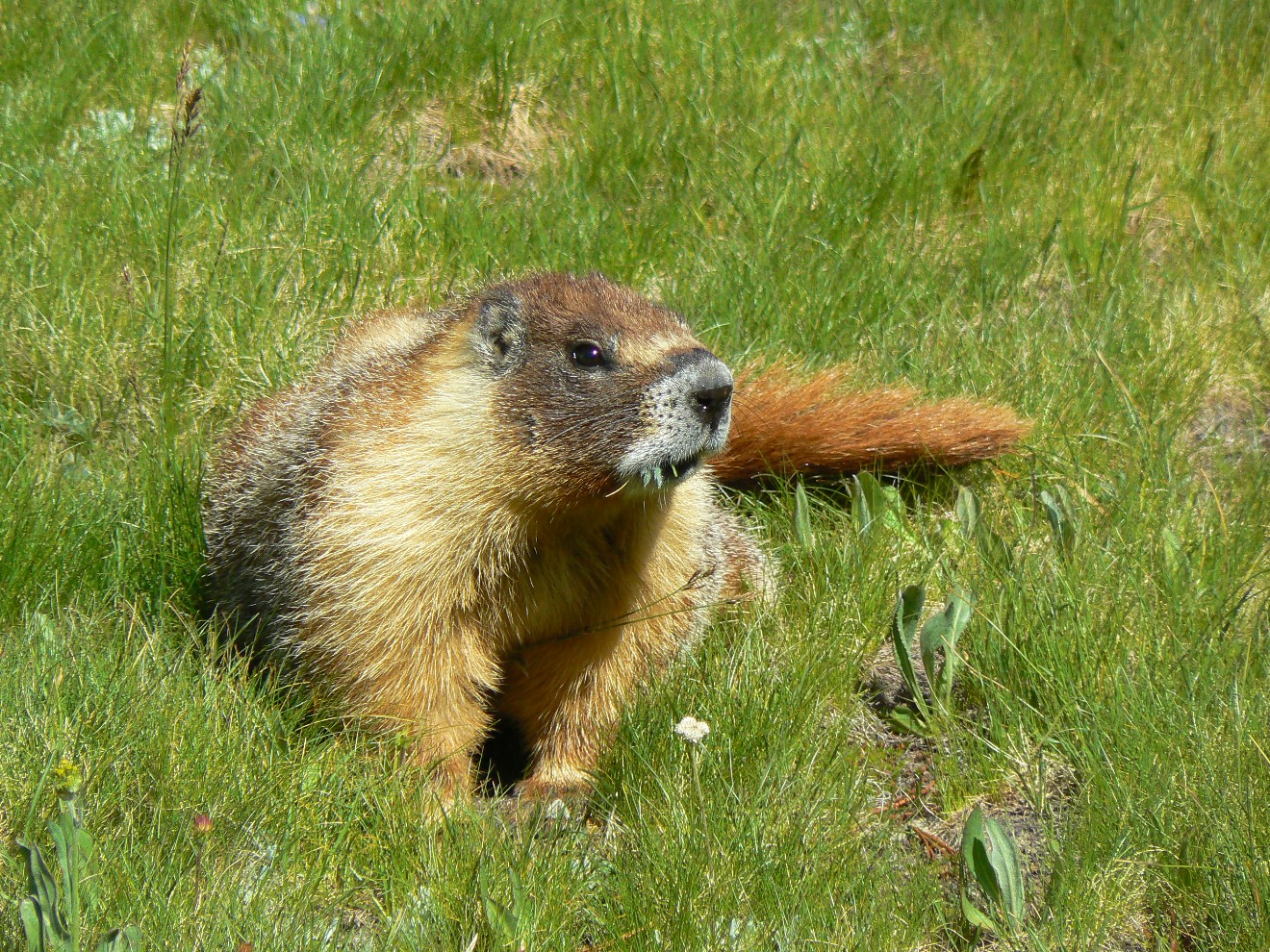
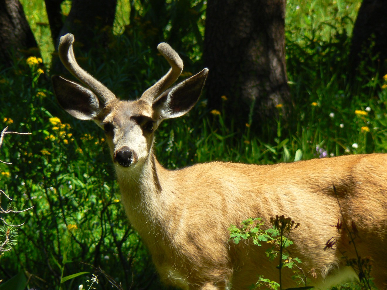
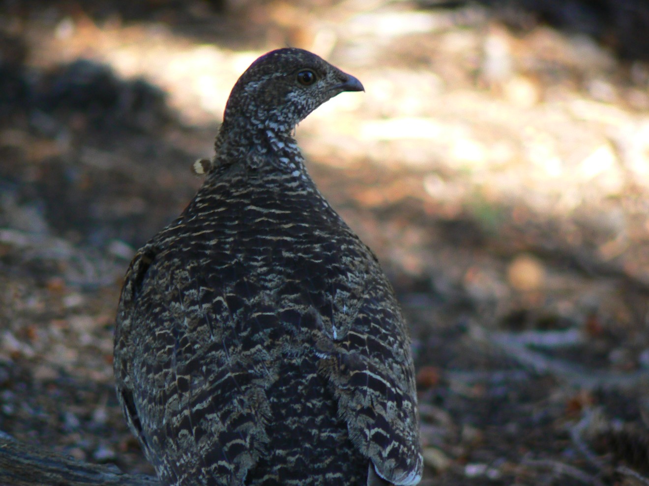
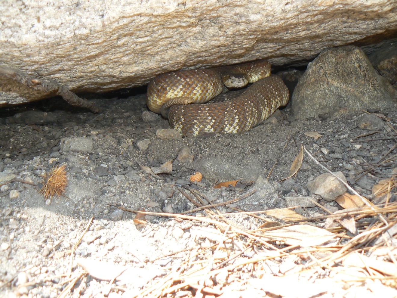
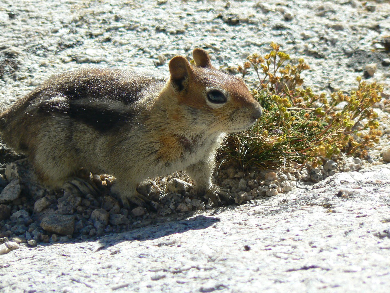
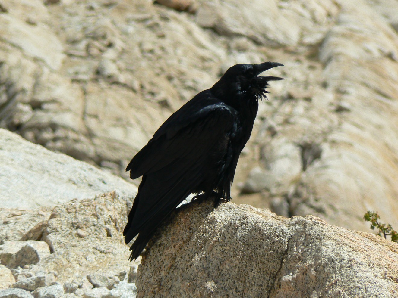
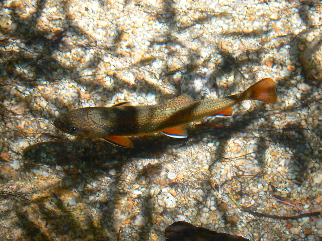
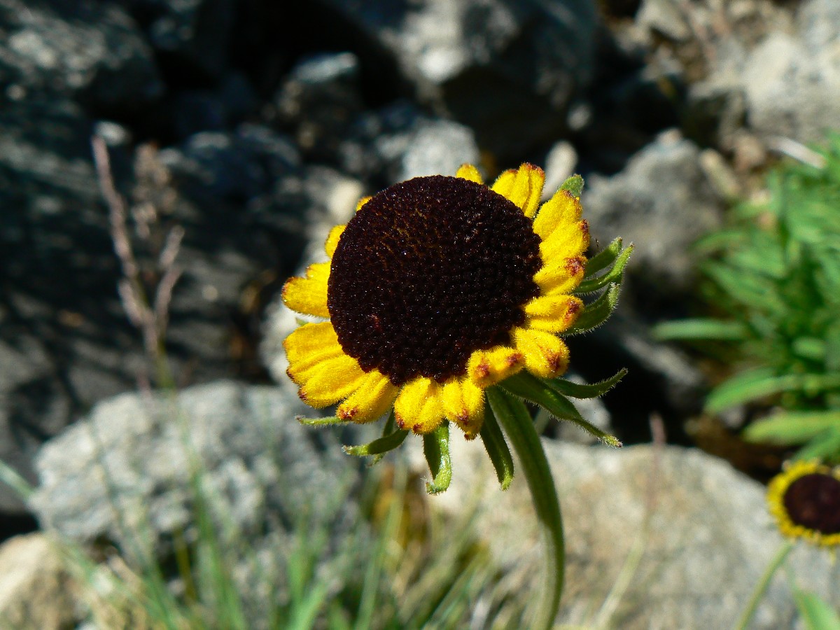
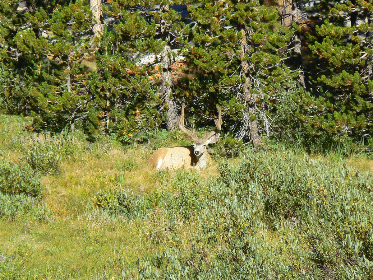
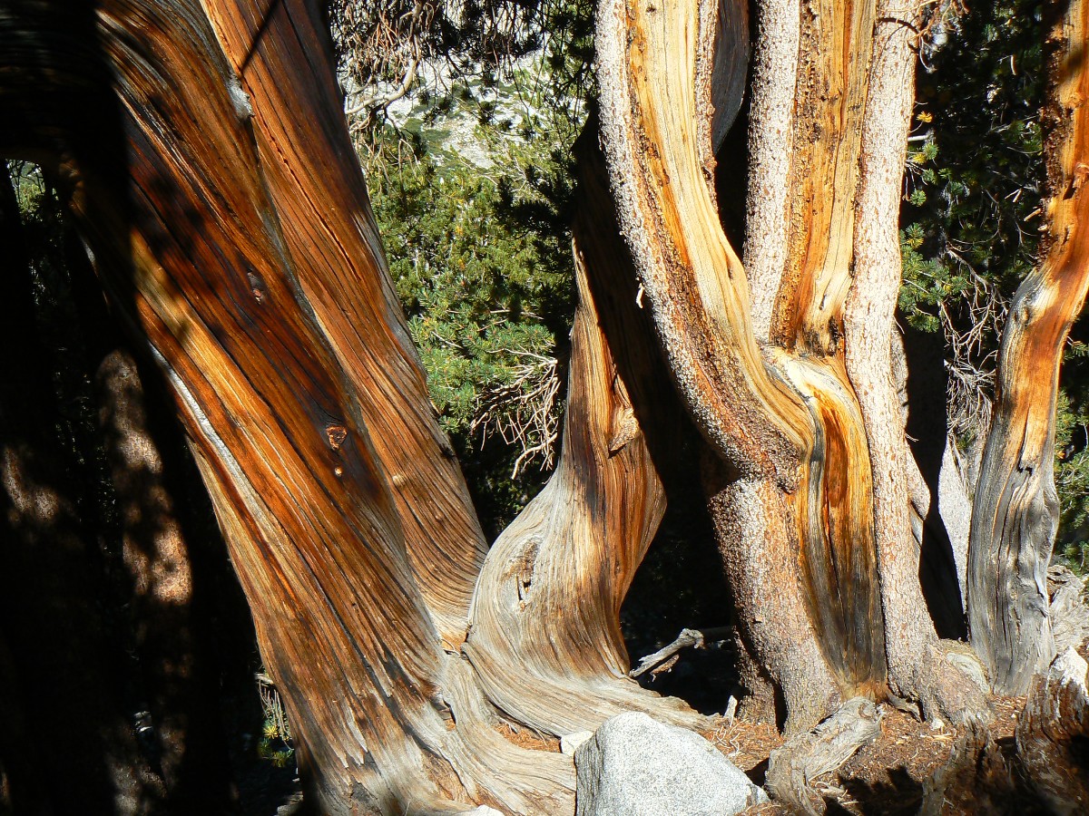
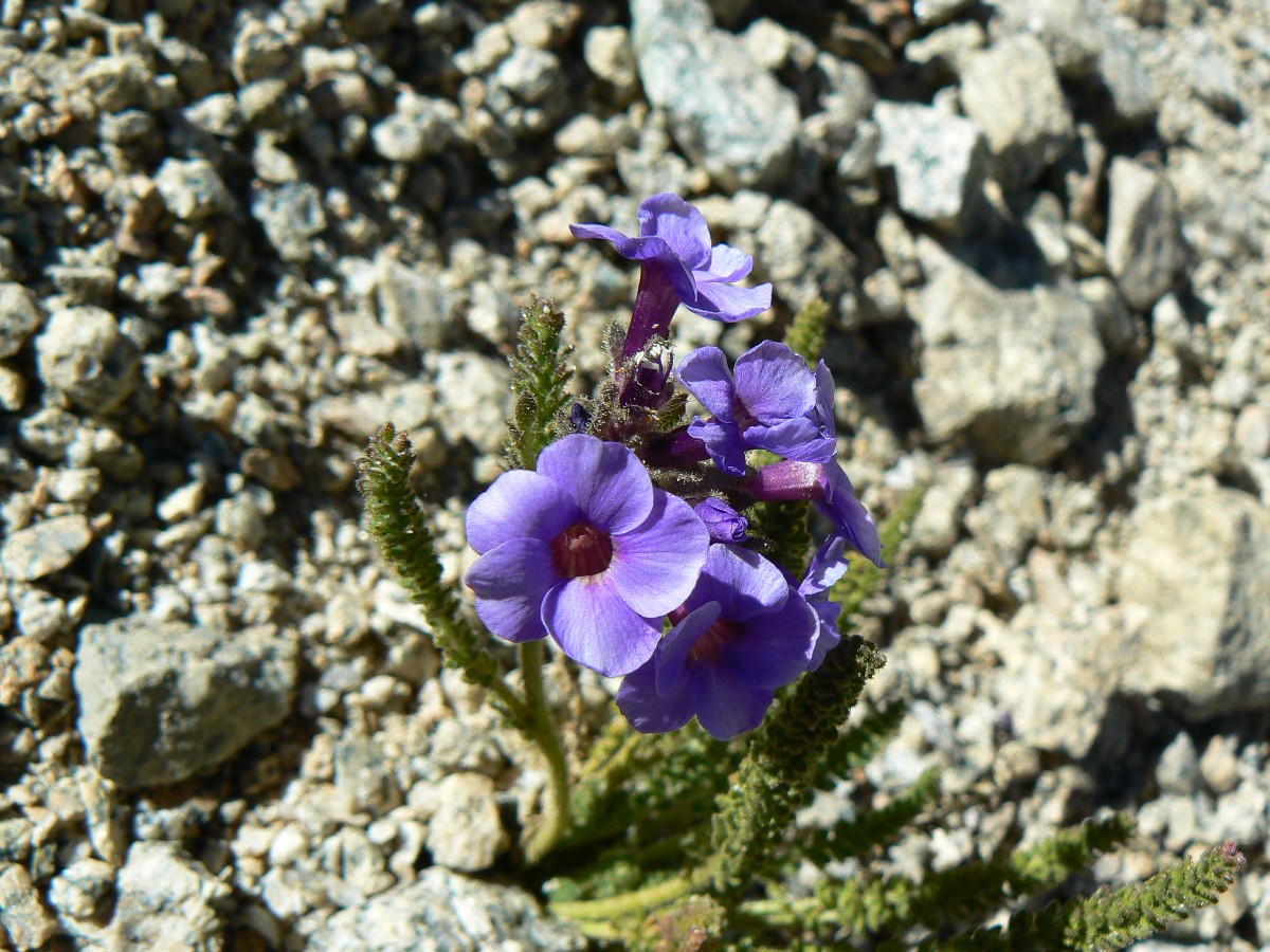
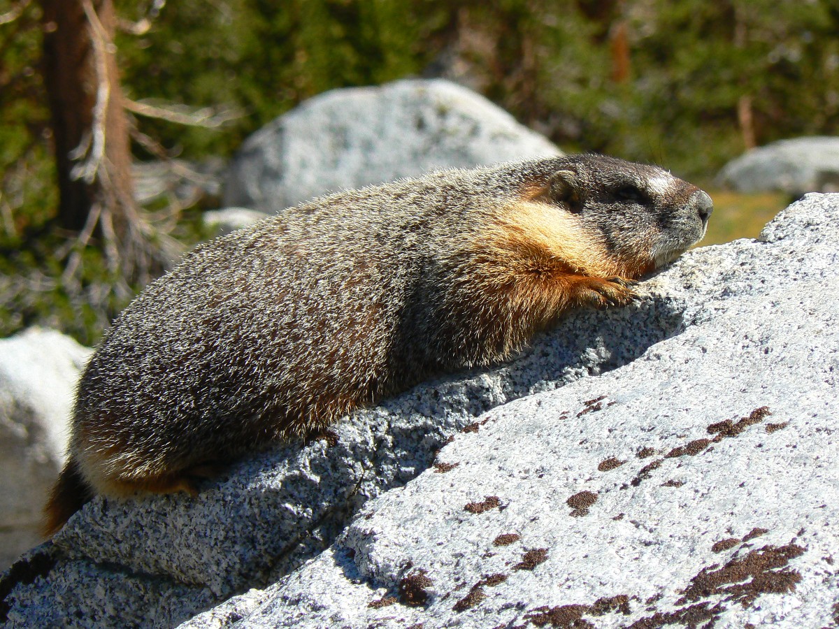
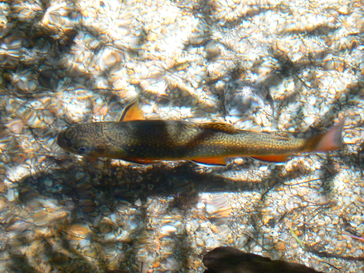
Animals of the Jaunty Juggernaut
Animals of the Jaunty Juggernaut
(Photos and the report of the trip continue below.)
"Keep close to Nature's heart...and break clear
away, once in awhile, and climb a mountain or spend a week in the woods. Wash your spirit clean".
- John Muir .
Map - JMT Section 1: Click here to go to
Section 1 -Happy Isles (Yosemite Valley) to Reds Meadow
Day 1: Neuroleptic Nevada:
Happy Isles to Sunrise Creek. Camp at about 7000’. 8.2 miles. ERM = 15.6.
The muscles go tetanal in response to the nearly 4000’ climb from Happy Isles.
Shake, clinch, cramp, yikes.
A neuroleptic hike past Nevada Falls, climbing, climbing. Gorgeous granite peeps
through deciduous, then coniferous forests, bursting into prominence where bedrock defies roots, creating vistas.
Of course the pack is too heavy and therefore the feet too bruised and hamstrings and connective tissue whine.
Along the way, glorious girls hiking hard, glistening and smiling. Lots of them.
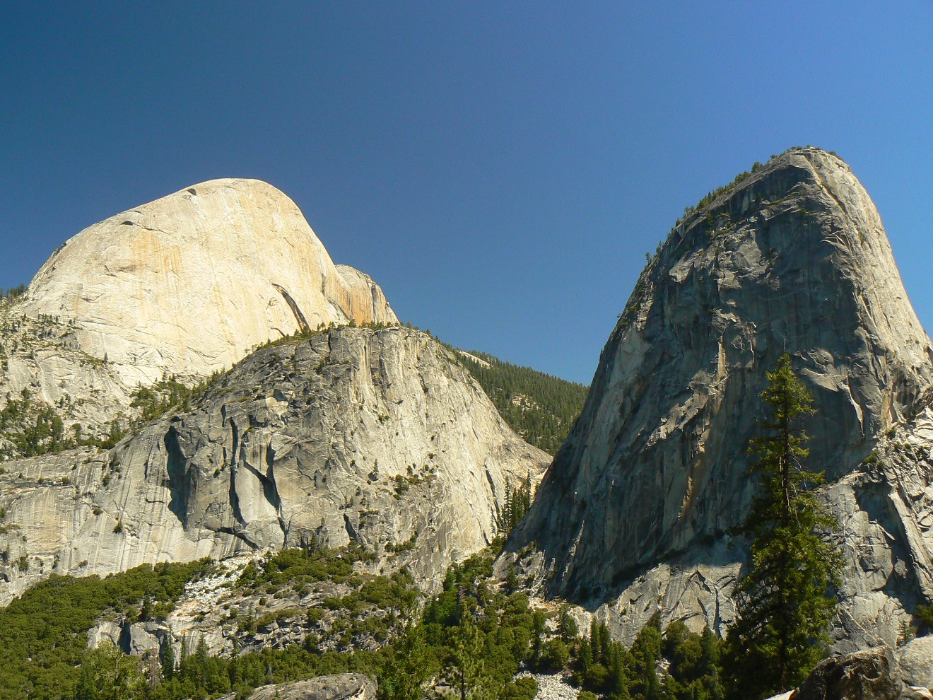
Lovely. Then, the side trail to Half Dome, then Cloud’s Rest, and the trail quiets and narrows. The throng is
gone and a semblance of wildness permeates.
|
|---|
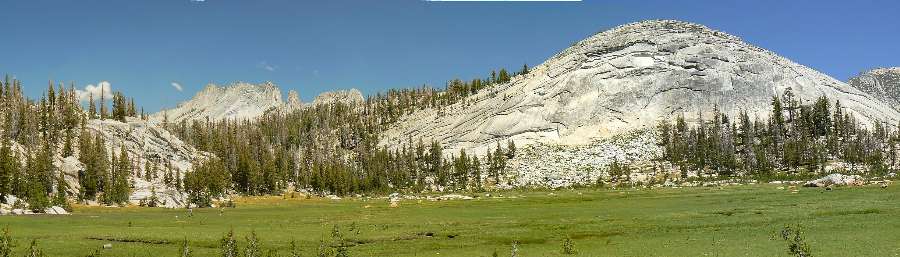
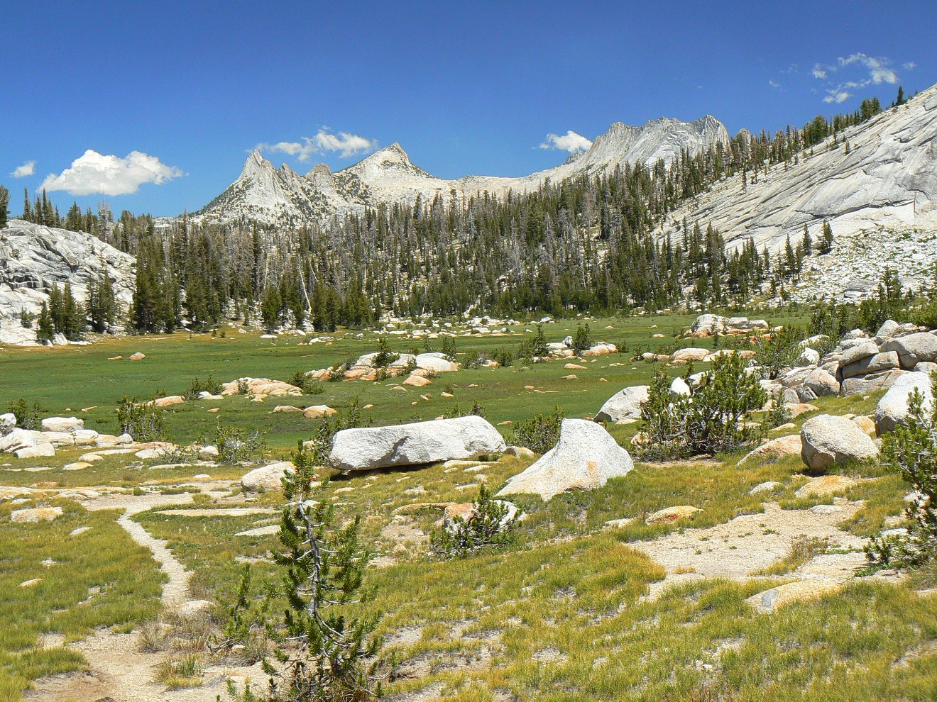
Panorama of Long Meadow, Day 2
(Image is very wide and the file large - scroll to view
it (2447 x 700; 450kb) - Click
the image for the full-size image)
|
|---|
|
|
|---|
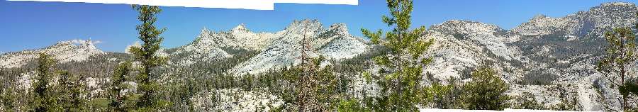
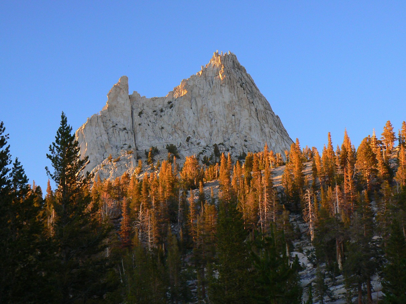
Panorama of Cathedral Group, Day 2
(Image is very wide and the file large - scroll to view
it (4000 x 700; 961kb) - Click
the image for the full-size image)
|
|---|
|

|
|---|
Panorama from ridge above Long Meadow, Day 2
(Image is very wide and the file large - scroll to view
it (7230 x 700; 1.7b) - Click
the image for the full-size image)
|
|---|
|
JMT - Day 2 Photos by Rob
JMT - Day 2 Photos by Rob
"The world is big and I want to have a good look
at it before it gets dark". - John Muir
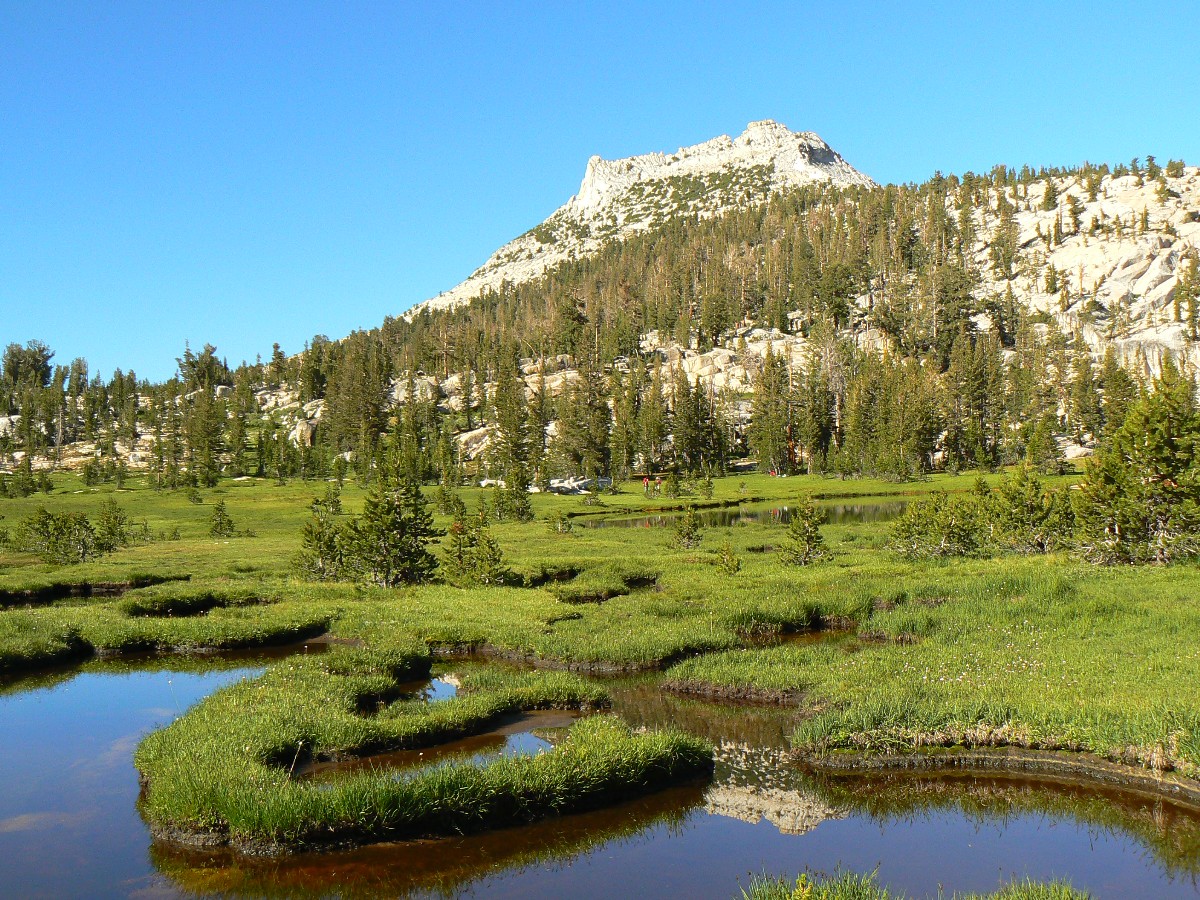
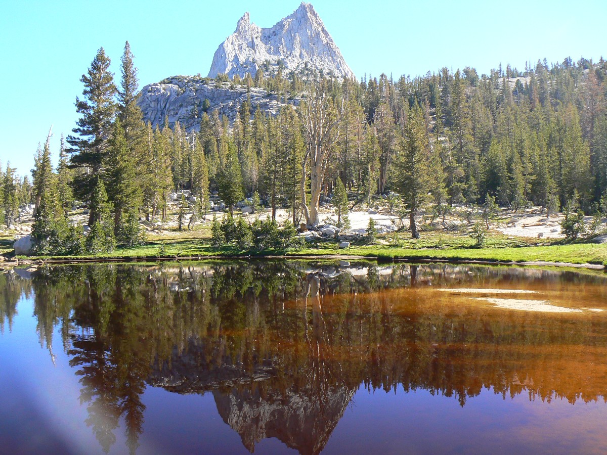
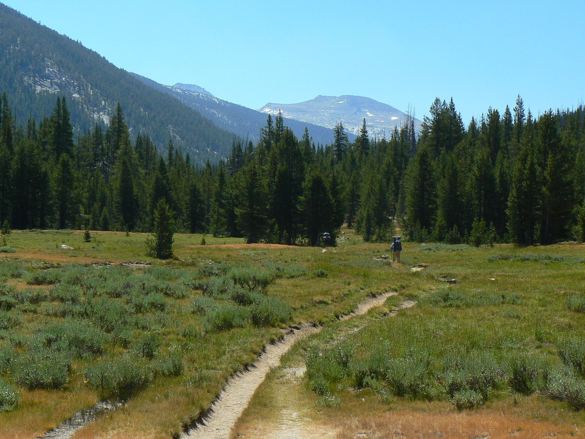
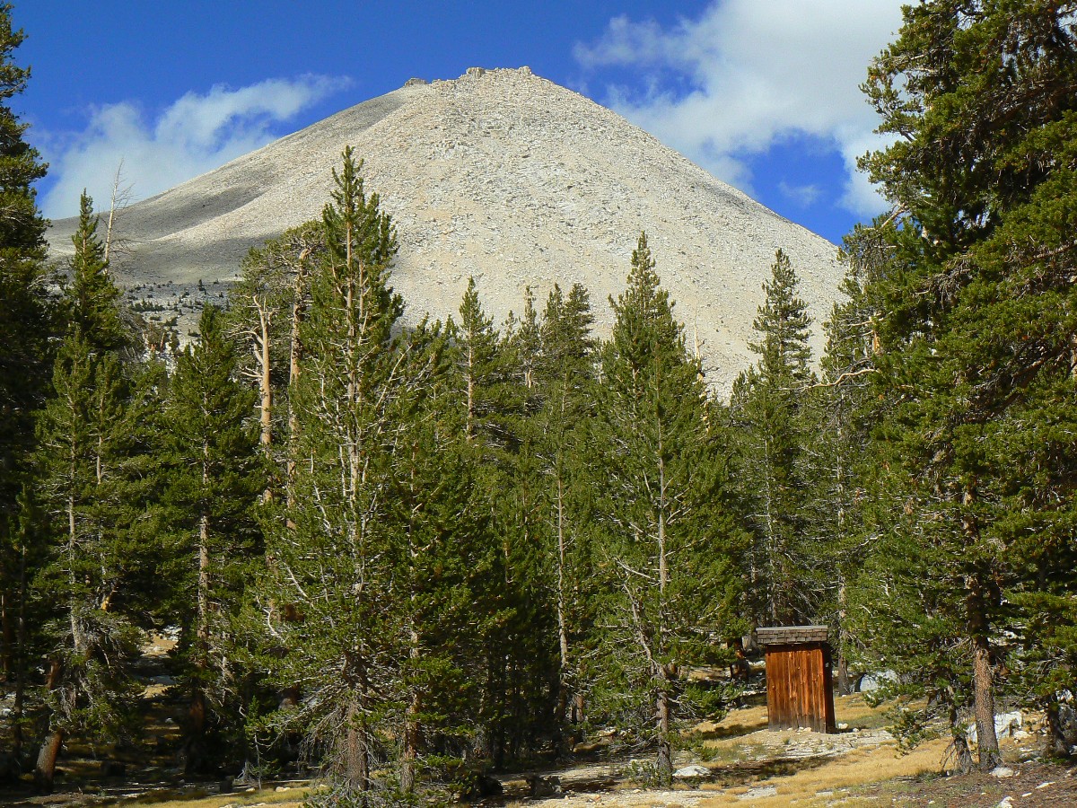
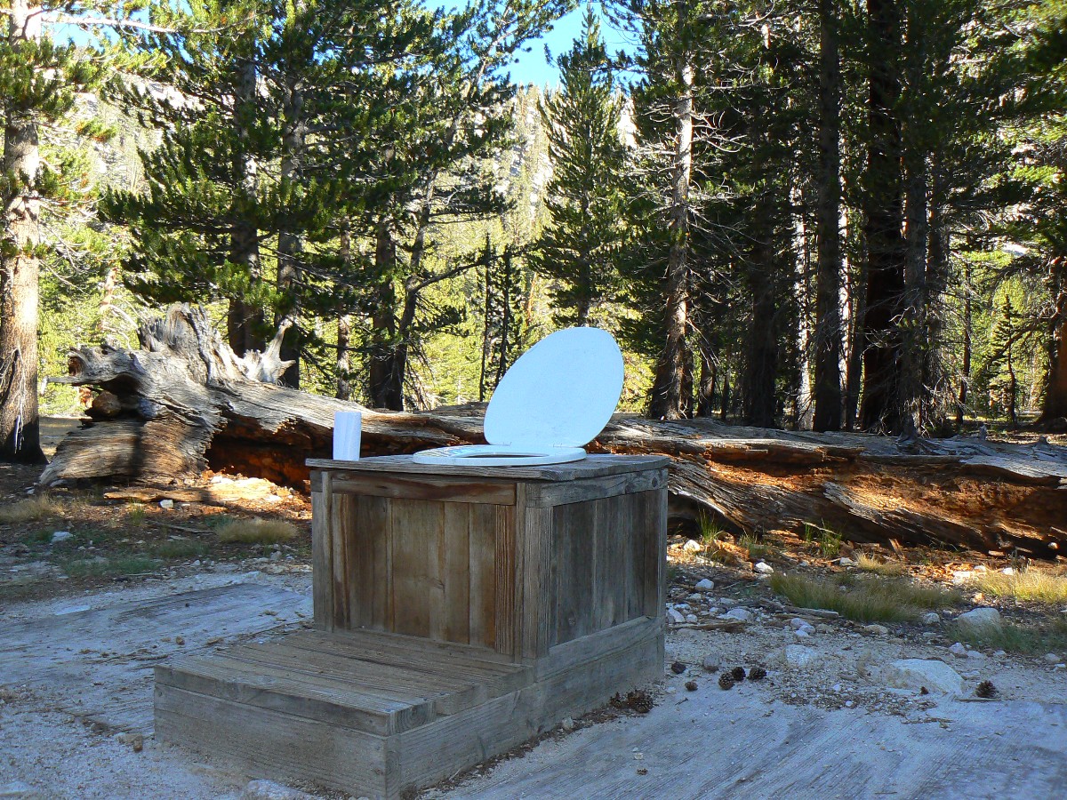
Day 2: Granite Grouse: To Upper Cathedral Lake @ 9585’.
Wenk Mile 17, 9.5 mile day. ERM = 16.5.
Strum, drum, strum, crum reverberate the low tones of Mr. Grouse, somewhere in the
granite boulders overlooking Long Meadow. Dave and I sit and vegetate, enjoying the strumming of Mr. Blue Grouse.
We started off climbing to glorious views after a peaceful walk through tall
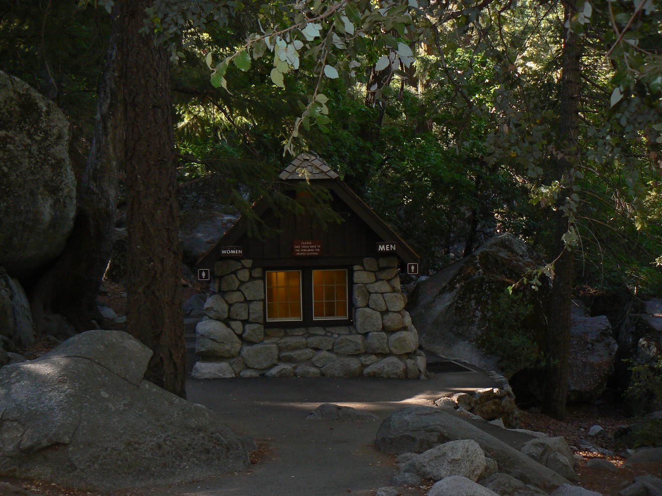
trees – monarch red cedars and pines and the lovely Spruce Hemlock, apparently John Muir’s favorite tree. Over
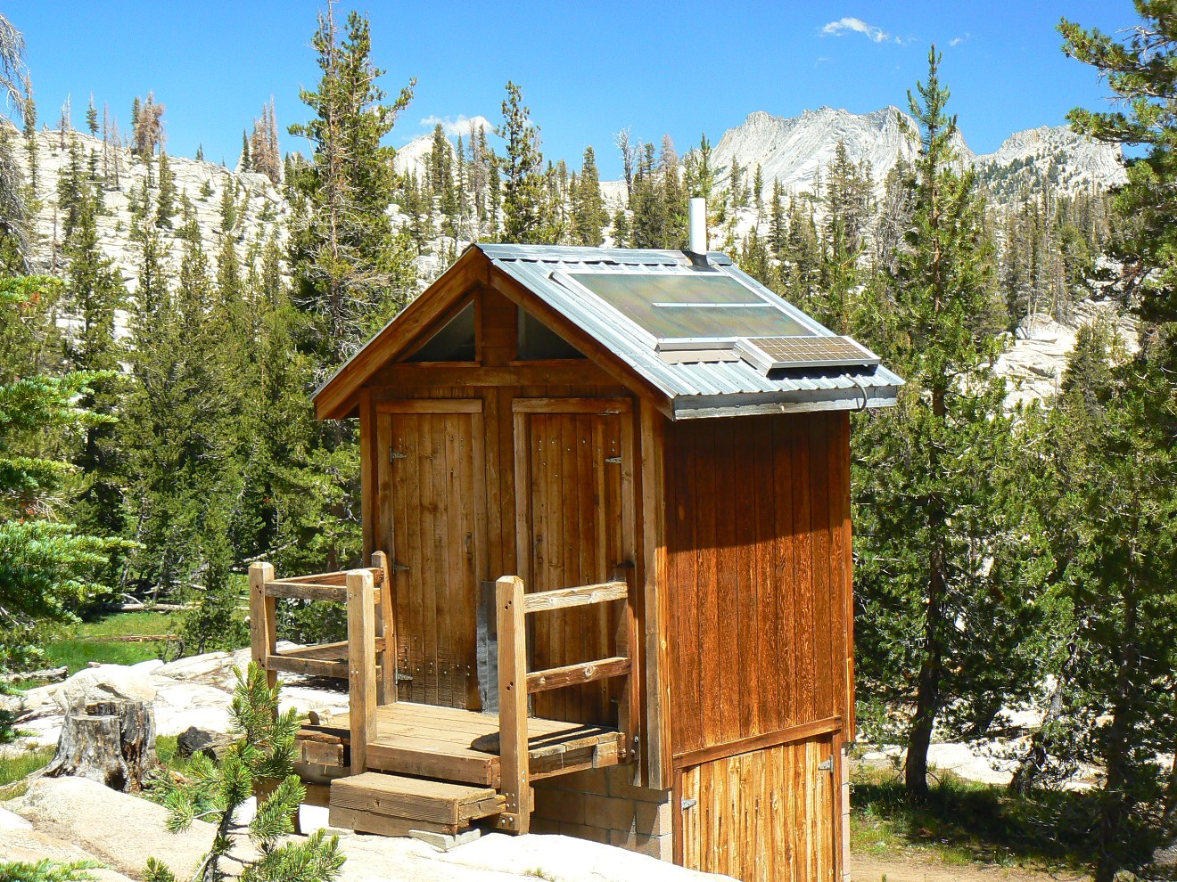
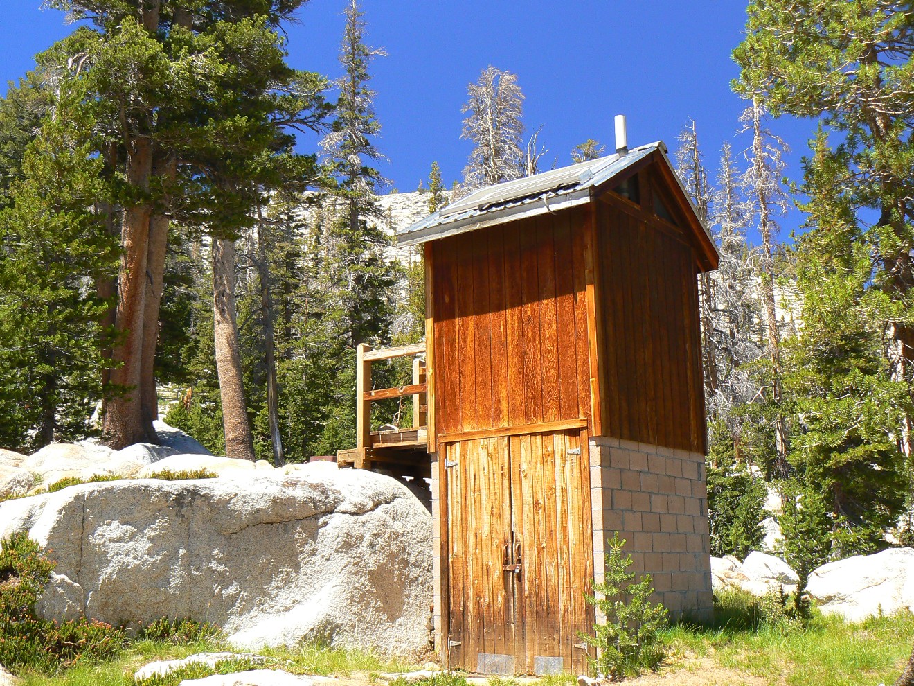
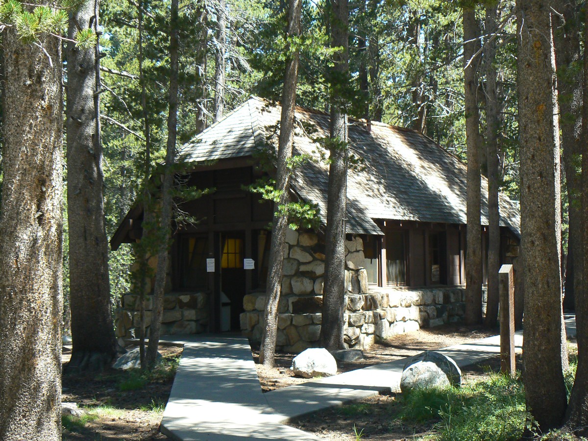
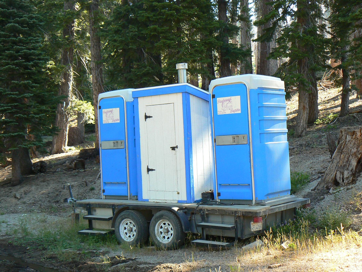
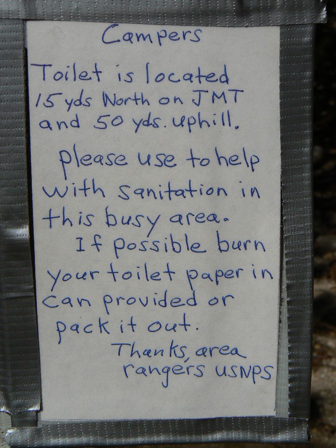
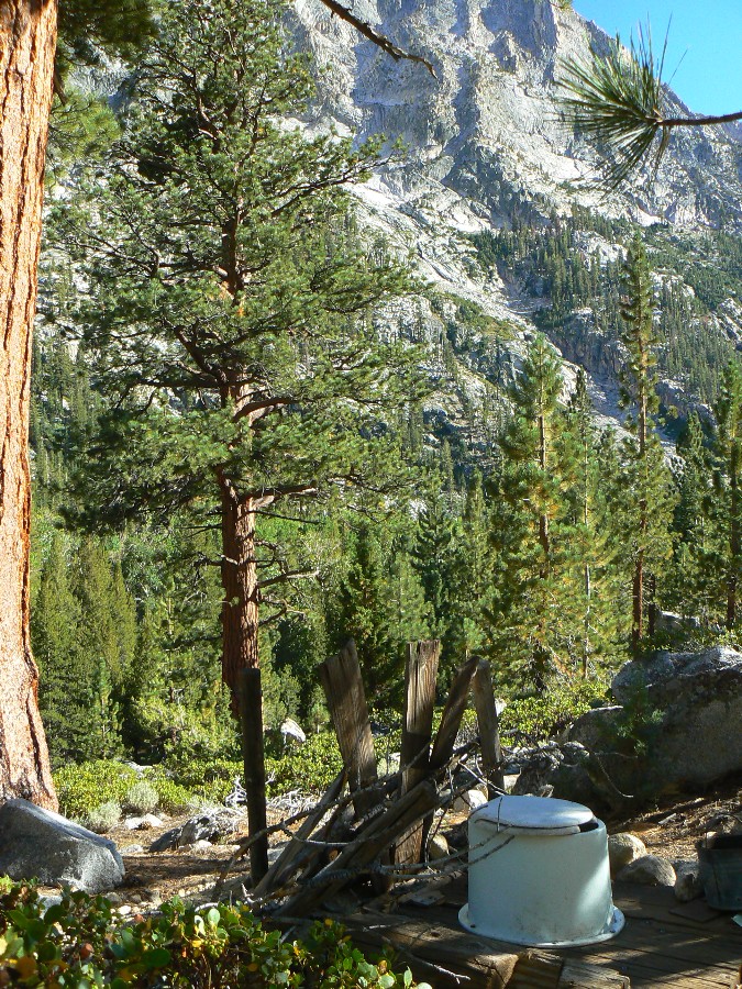
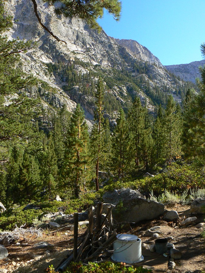
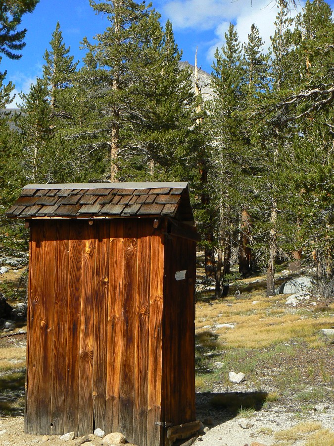
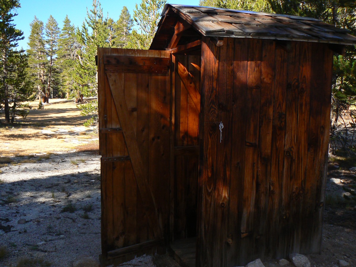
a high point, then down into Long Meadow we puff, finding the exquisite scenic Sunrise High Sierra toilet and a
tent camp – apparently a concession-operated series of camps. Coming out of this scenic toilet I froze – a very
recent bear print covered trail tracks. Yikes – has the bear found my pack? This thought prompted by the report
from the Yosemite bear ranger of a bear who napped near the toilet, then, awakened by the sound of the toilet door
(can you say ‘dinner bell?’, looked for food. The story noted that this wily bear had hauled off several packs.
On we hike, through the saturated greens of Long Meadow, then up to even grander
vistas of granite domes and peaks, alongside Columbia Finger, apparently glaciated below, yet unsullied by ancient
ice above. Mark has located an excellent camp at Cathedral Lake and we enjoy a bath on the warmed granite slickrock
and the continuation of excellent vistas.
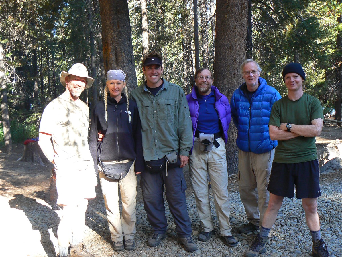
Today we meet Jim and Kristi W., friends who we encounter throughout the trip,
including on the gale-swept summit of Mt. Whitney.
JMT - Day 3 Photos by Rob
JMT - Day 3 Photos by Rob
(There are - More photos below the trip narrative.)
"This I may say is the first time I
have been to church in California".
John Muir, after making the
first recorded ascent of Cathedral Peak in 1869.
Day 3: Tuolumne Disneyland: To Tuolumne Meadows, backpacking site 12 @8650’.
Wenk Mile 22.5; 6 mile day; ERM = 10.
The sudden, unexpected uphill from near the TH at the road is laced with a cacophony of
motor noises. Winnehogos and SUVs supporting terrorists via gulping rare petroleum products (fossil fools), motorcycles
belching out hearing impairment. Throngs of too many, consuming too much, like us, bellying up to the Tuolumne Grill
for a Salmon burger with extra grease.
We eventually locate the backpacker site and a place for the evening. Kristi and
Jim W. repair equipment and move on into Lyell Canyon. Lyell Canyon – a view from the Tuolumne River Bridge allures.
It’s good to see so many enthusiastic hikers sprinkled amidst the everything and a sink vehicles. After a sandwich
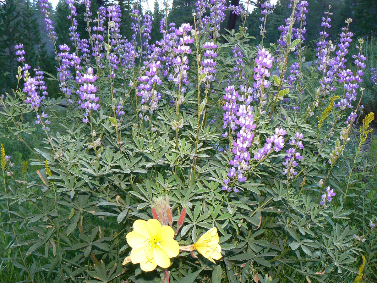
at the T Grill, I saunter along T River and spy a Junco bathing in the river and a good photo of Lupines and Lambert
Dome. A call to the lovely Kathleen tops the day.
"T."
Click here for -- A note about tin-can tourists
JMT - Day 4 Photos by Rob
JMT - Day 4 Photos by Rob
(There are - More photos below the trip narrative.)
"The power
of imagination makes us infinite". - John Muir
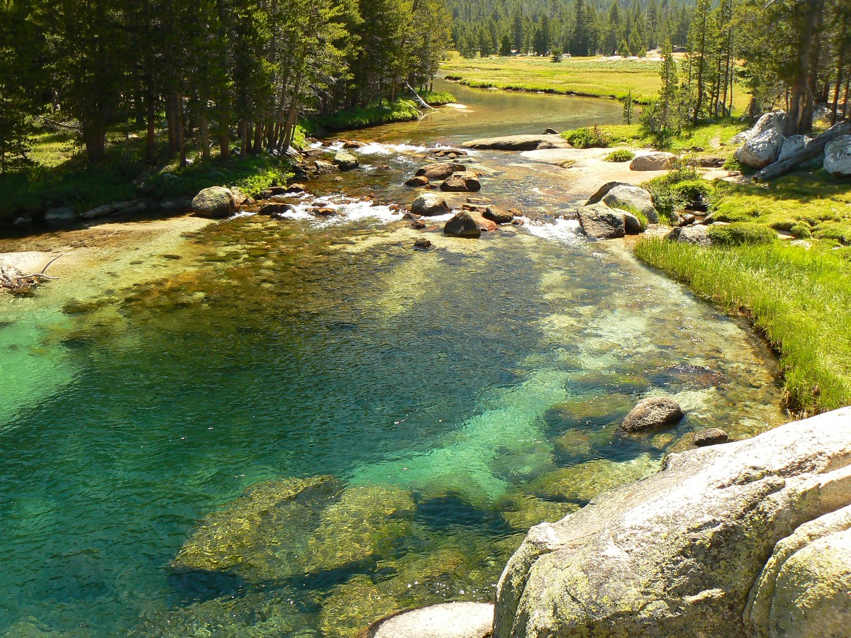
Day 4: Tuolumne Turquoise:
To Kuna Creek of Lyell Canyon @9000’. Wenk mile about 32.5; 10.5 mile day; ERM = 13.
The light rain spatters at our OK camp near now rushing Lyell Fork just South
of where Kuna Creek joins in. There was a huge circus tent at the Wenk-recommended camp near Kuna and the
gathering clouds and hints of rain prompted us to camp a bit too soon or late. All is well as I reminisce
about the exquisite turquoise waters of lower Lyell Fk. of the Tuolumne.
It has been a romp of a day, beginning with a breakfast combo carbo and protein
load at the T Grill, which was surprisingly calm at its 8a. opening.
Finally leaving the plethora of confusing signs of the T Meadows area, we roll
through patches of trees and luscious meadows sporting willows artfully pruned by habituated deer. The trail
grade is easy and we have many opportunities to marvel at the sluicing waters further polishing granite previously
rounded by ice flows – last year according to sarah palin time.
Yesterday, we completed the rounder pass-through from Happy Isles to T. Meadows,
and now we’re mostly rolling South, grand granitic giants beckoning us on and on and on the Jaunty Juggernaut.
|
|---|
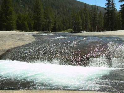
Movie of a Tuolumne Cascade - Day 4 - 6 MB
(Click the image to see the short video - 6 MB)
|
|---|
|
|
|---|
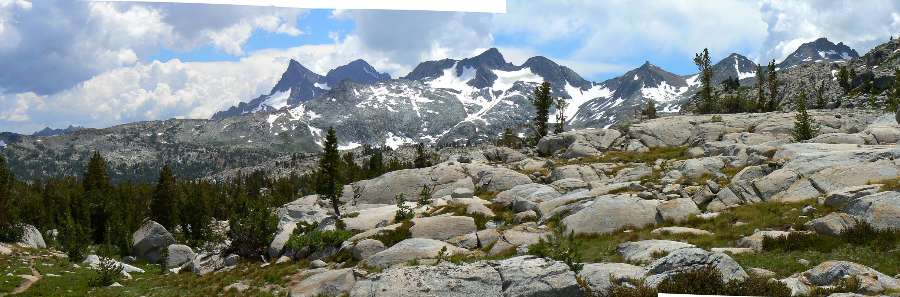
Pano of Ritter Range from Donohue Pass - Day 5 430kb
(Image is very wide - scroll to view it (2425 x 800; 430kb) - Click
the image for the full-size image)
|
|---|
|
JMT - Day 5 Photos by Rob
JMT - Day 5 Photos by Rob
"Thousands of tired, nerve-shaken,
over-civilized people are beginning to find out going to the mountains is going home;
that wilderness is a necessity..". - John Muir
Day 5: Thousand Thunder:
To Thousand Island Lake @ 9900’. Wenk Mile 43.1; 10.6 mile day; ERM = 19.6.
Thunder rolls through the gathering ebony clouds as we hustle across Island Pass
and begin the drop to Thousand Island lake. Punctuated by rain, we hurry to the junction and around the lake in
a driven quest for camp. Beat the main storm? Climbing up into the trees, we find a decent place and throw up
tents and we and packs inside, avoiding most of the brief storm. Calm returns and we admire the cirque wonder
and Banner Summit.
We started out with the long uphill to Donahue Pass, fascinated by Elephant Head,
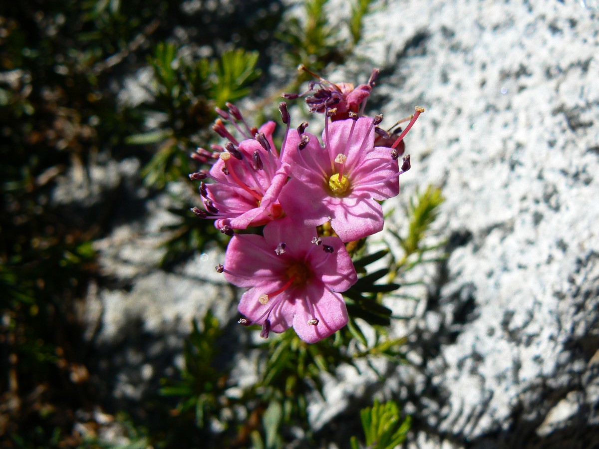
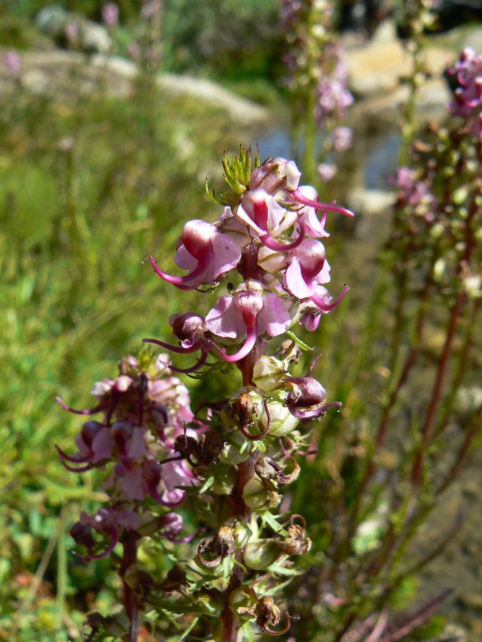
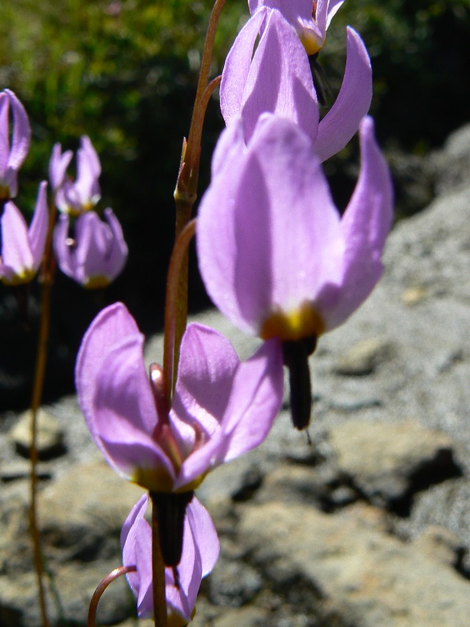
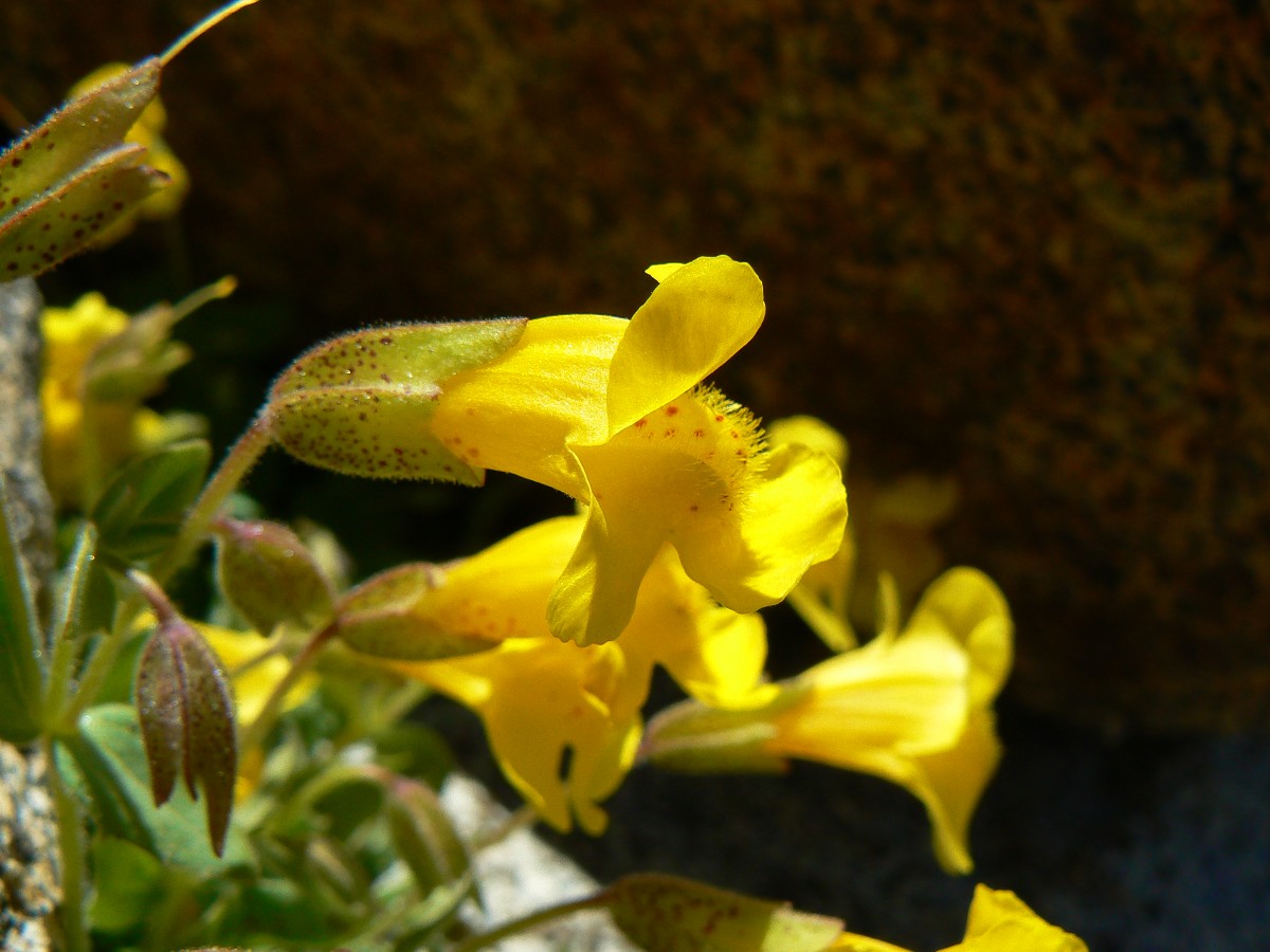
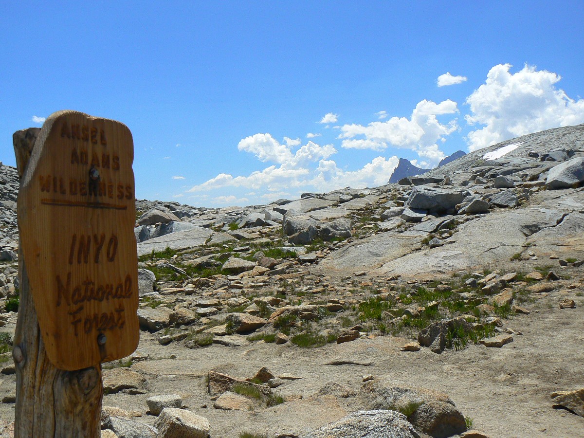
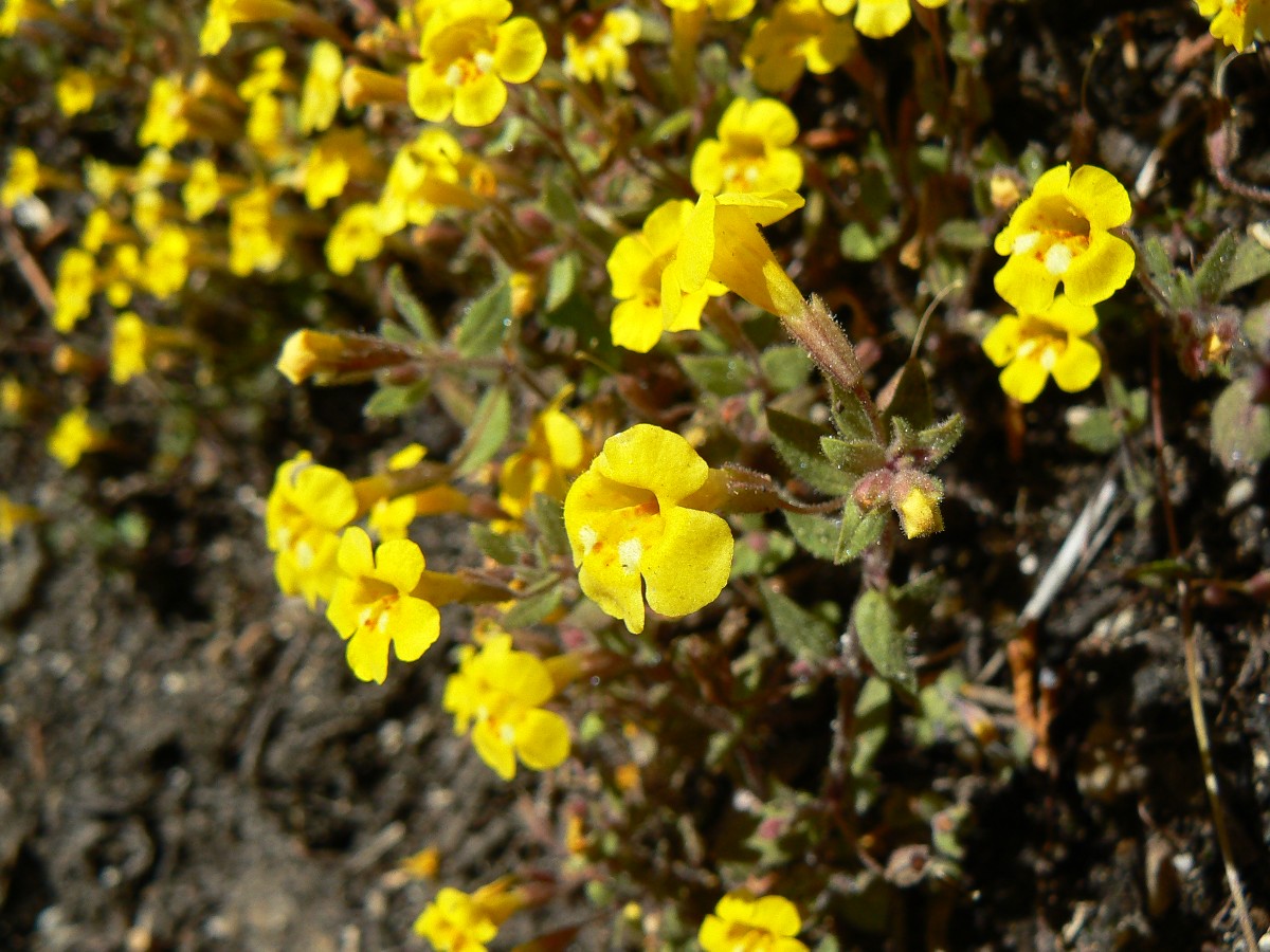
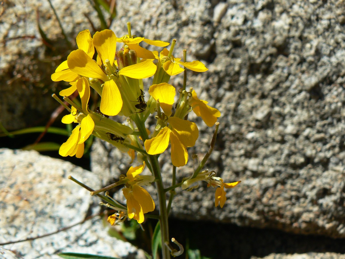
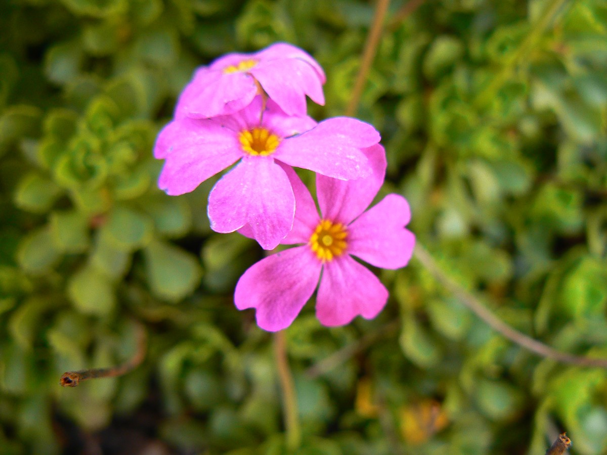
shooting stars, yellow monkey flowers, white and red heather, and ready for baking marmots. Crossing into Inyo NF
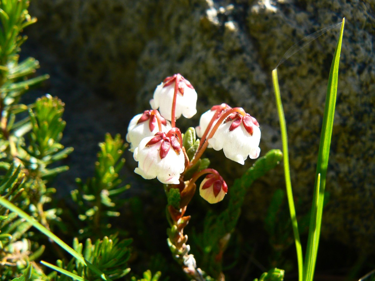
and the Ansel Adams Wilderness, the way down was truly alpine, dotted with numerous tarns and more stunning flowers.
Meadows in miniature, splashed with ponds and rivulets and sprinkled liberally with flowers. Dramatic mountain views
– and then there’s the towering thunderheads.
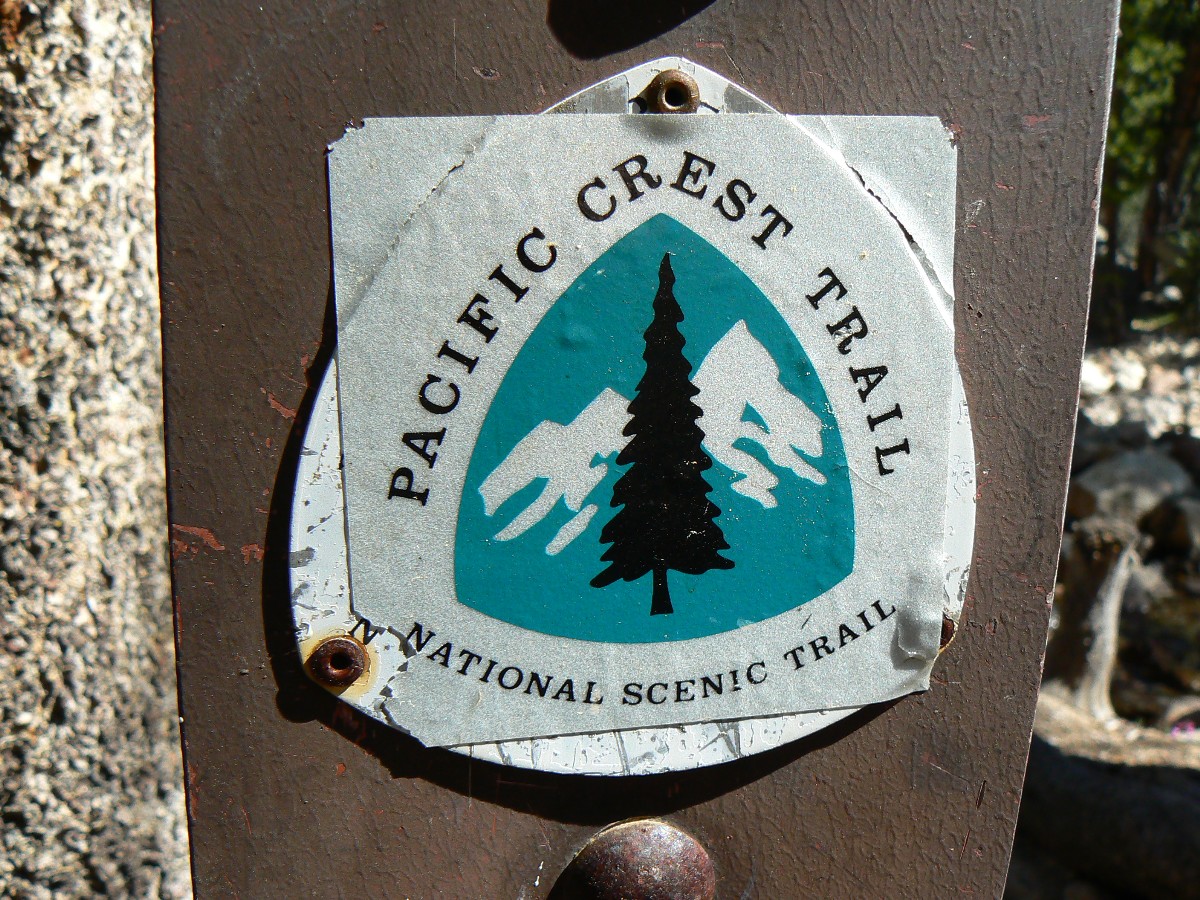
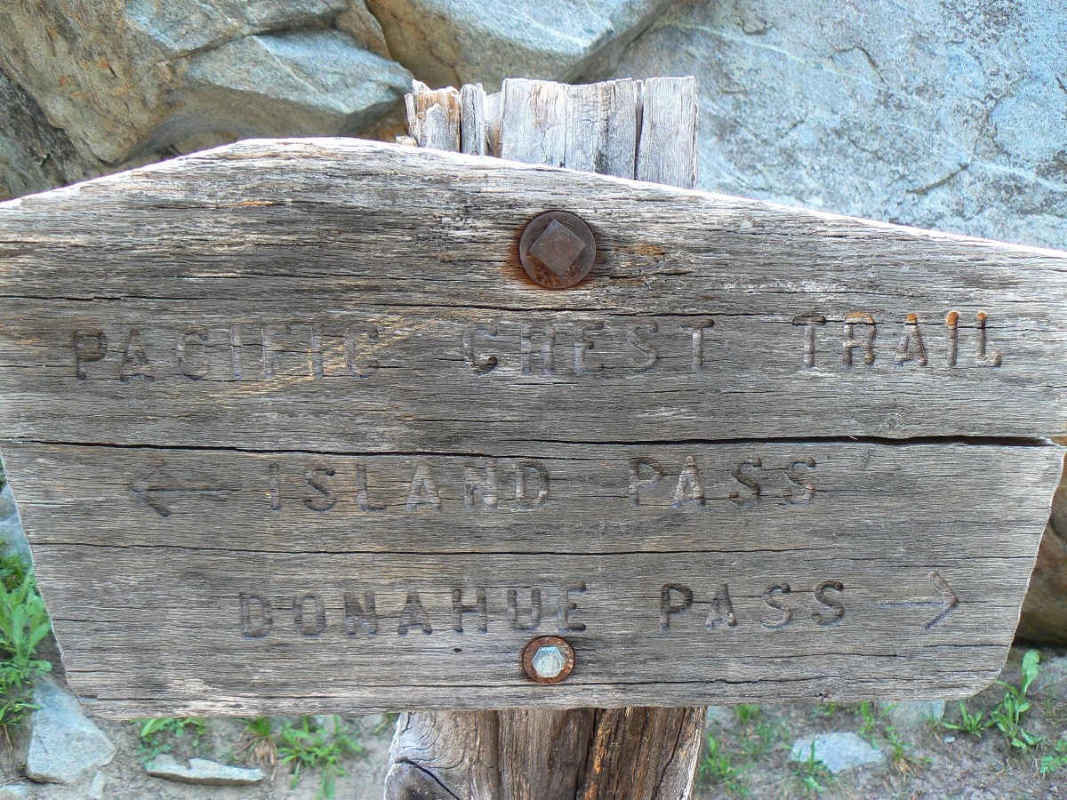
The PCT (Pacific Crest Trail) breaks toward the high route from the Thousand Lake
junction, and we will hike the gem lake route to Devils Post Pile.
JMT - Day 6 Photos by Rob
JMT - Day 6 Photos by Rob
"The grand show is eternal. It is always
sunrise somewhere; the dew is never dried all at once; a shower is forever falling; vapor is ever rising. Eternal
sunrise, eternal dawn and gloaming, on sea and continents and islands, each in its turn, as the round earth
rolls". - John Muir
Day 6: A Gem of a Day:
To Trinity Lakes @ 9240’. JMT mile 52.5; 9.4 mile day (+ side hike of a mile or so); ERM = 18.4.
The gem of Garnet produces a panorama with Ritter as a backdrop. We’re rolling
the gem lakes on our way to Trinity Lake, or there abouts, starting with a delightful sun-splashed morning at
Thousand Island Lake.
Now, nearing sunset, we’re waiting for dinner to fully rehydrate while wearing
full mosquito garb, including head net, and while enjoying the chill-chasing small fire. It’s not really that
chilly, but a quick water bucket bath and being low on energy make it seem so. Dave notes that the photo across
Garnet Lake and to Ritter and Banner is a famous Ansel Adams shot. It’s certainly a gem, along with Emerald and
Ruby Lakes. Today saw us lilting through cirque gems, from sage to Western Hemlock and white bark pine to Manzanita.
Ahh, diversity.
JMT - Day 7 Photos by Rob
JMT - Day 7 Photos by Rob
"One touch of nature makes the
whole world kin". - John Muir
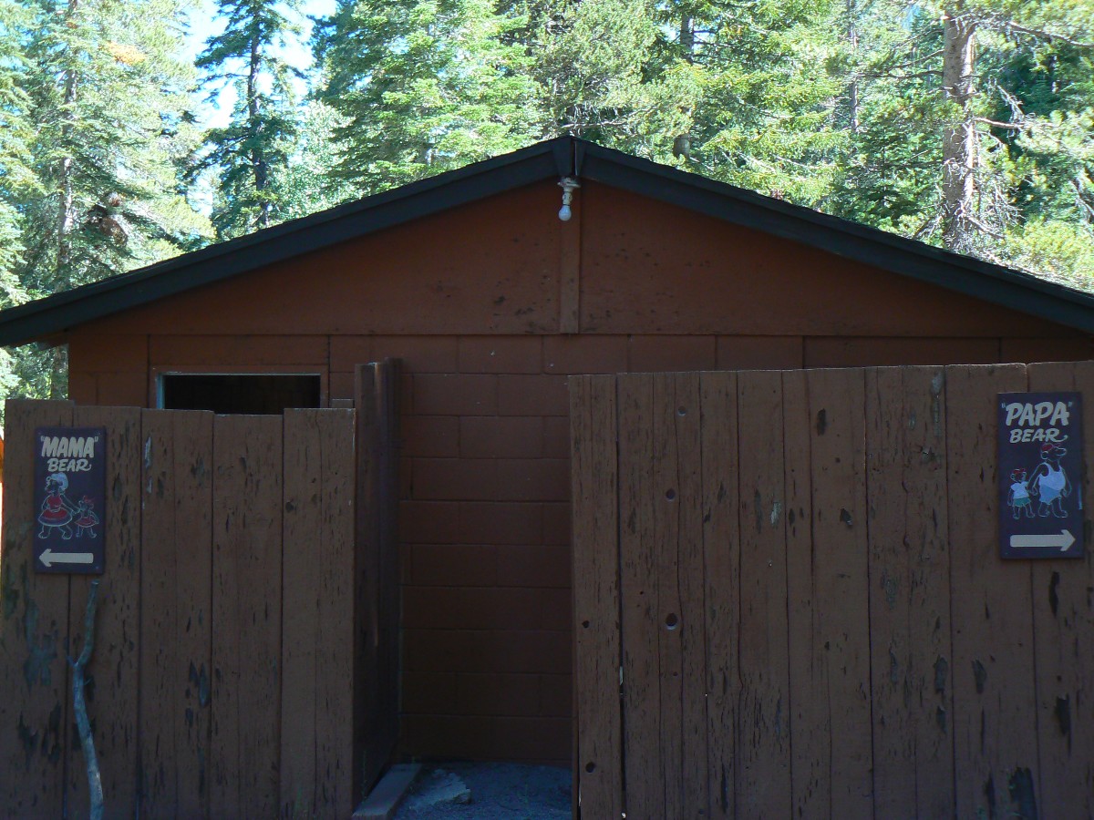
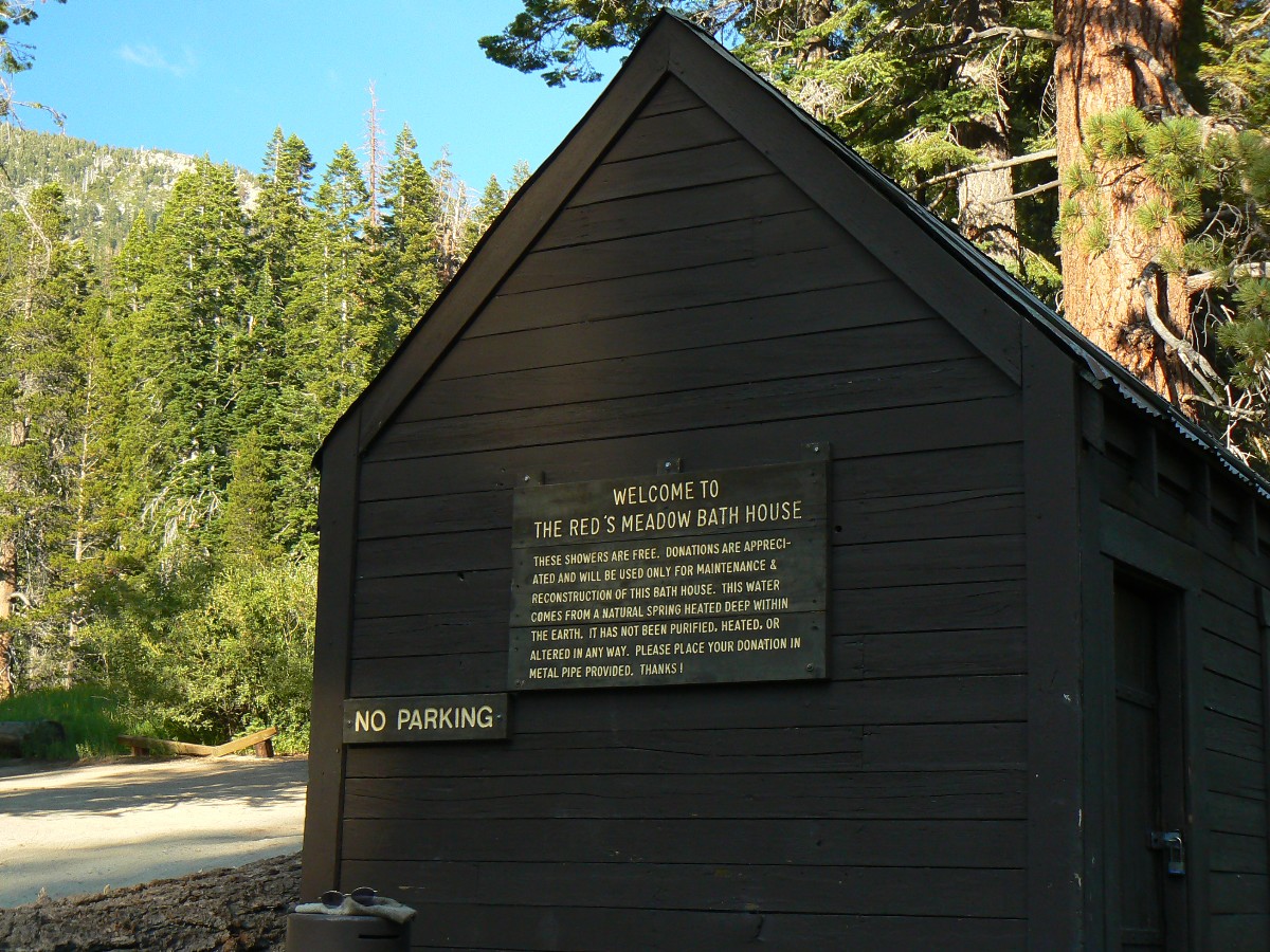
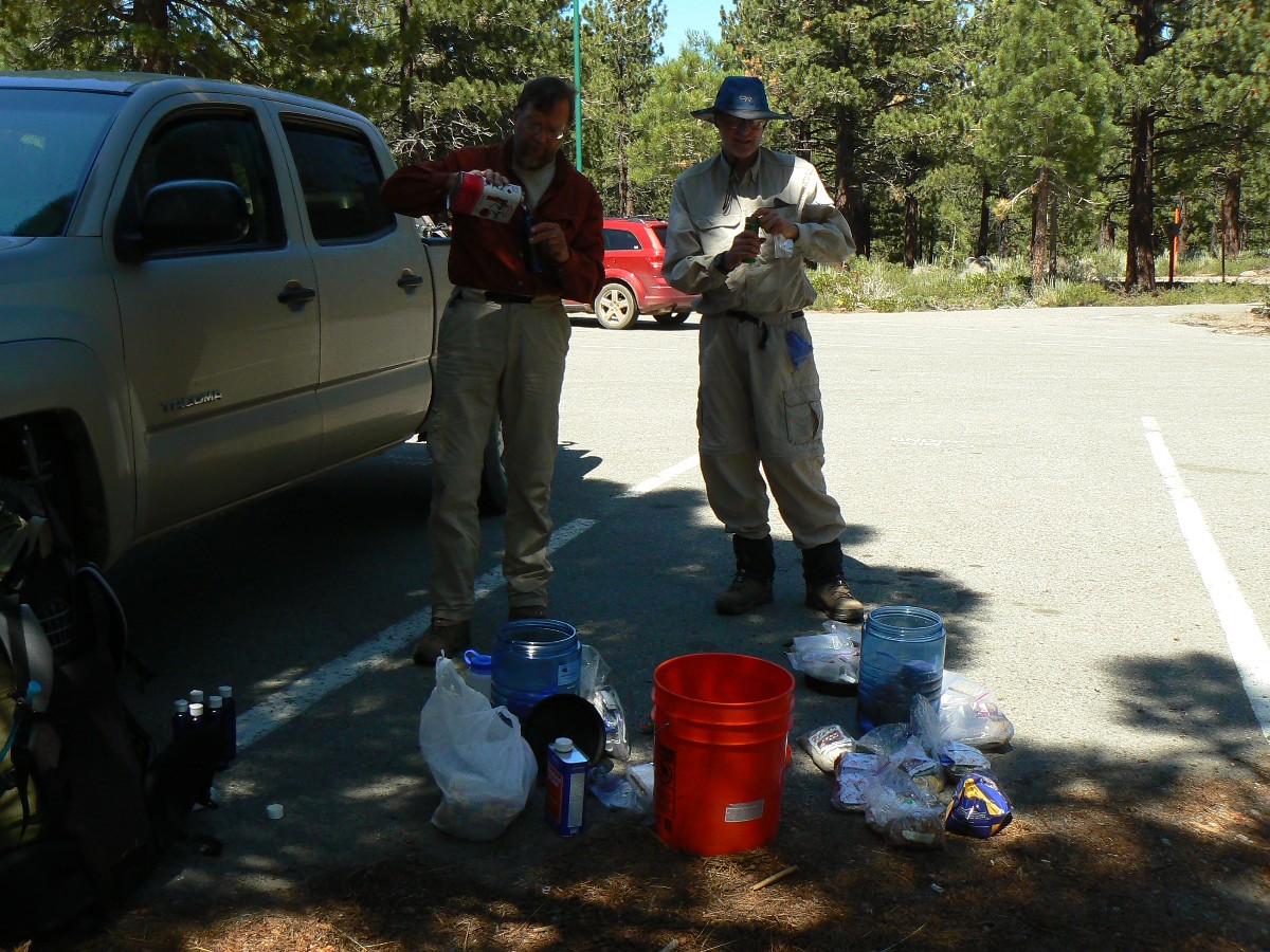
Day 7: Red Meadow Ruckus:
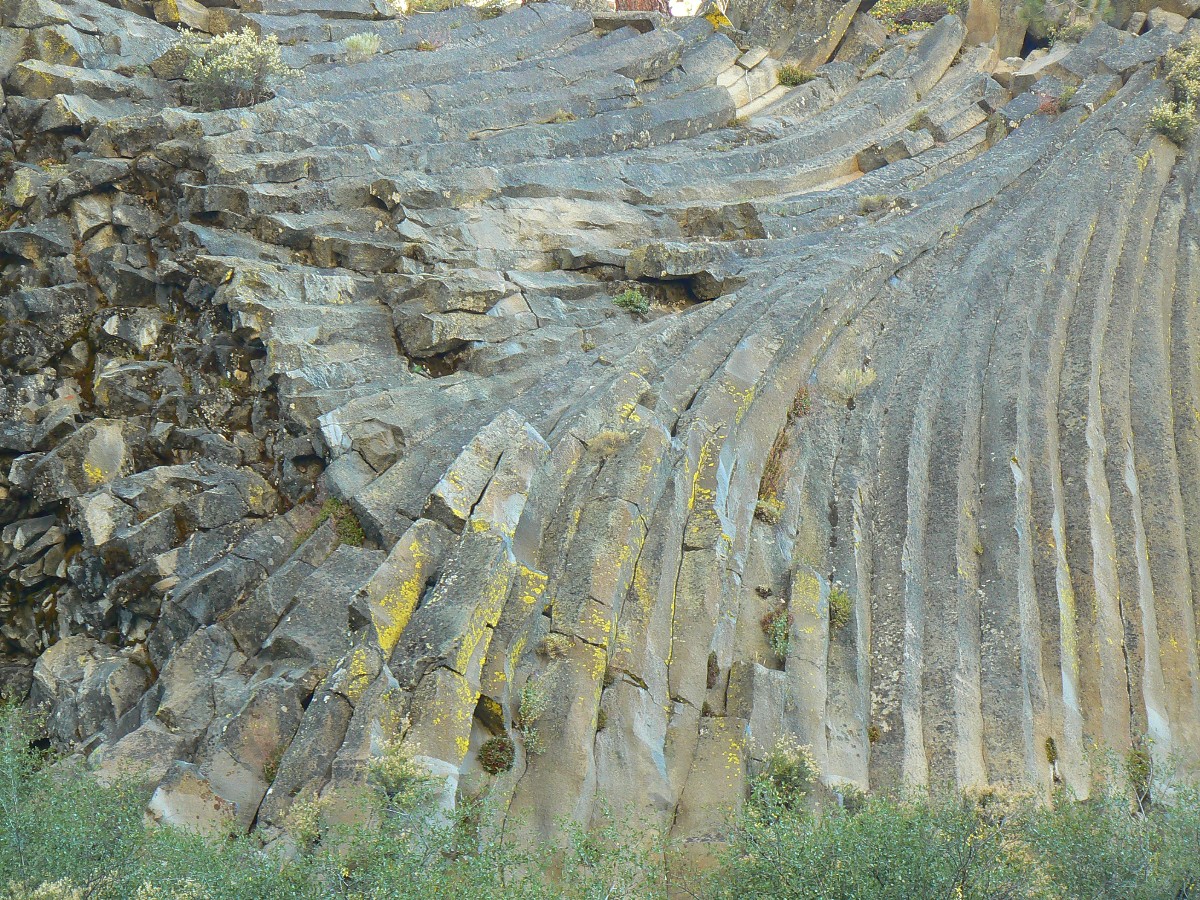
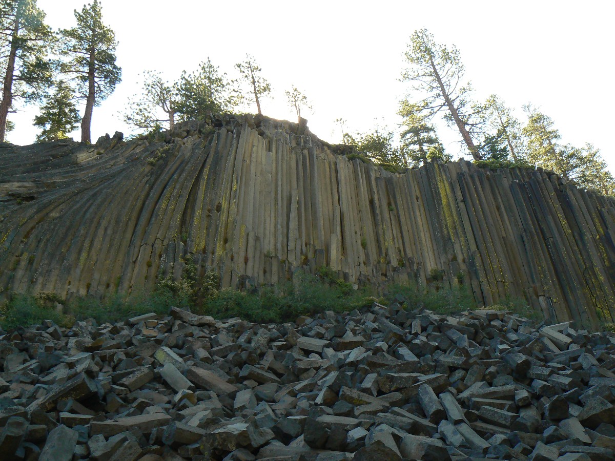
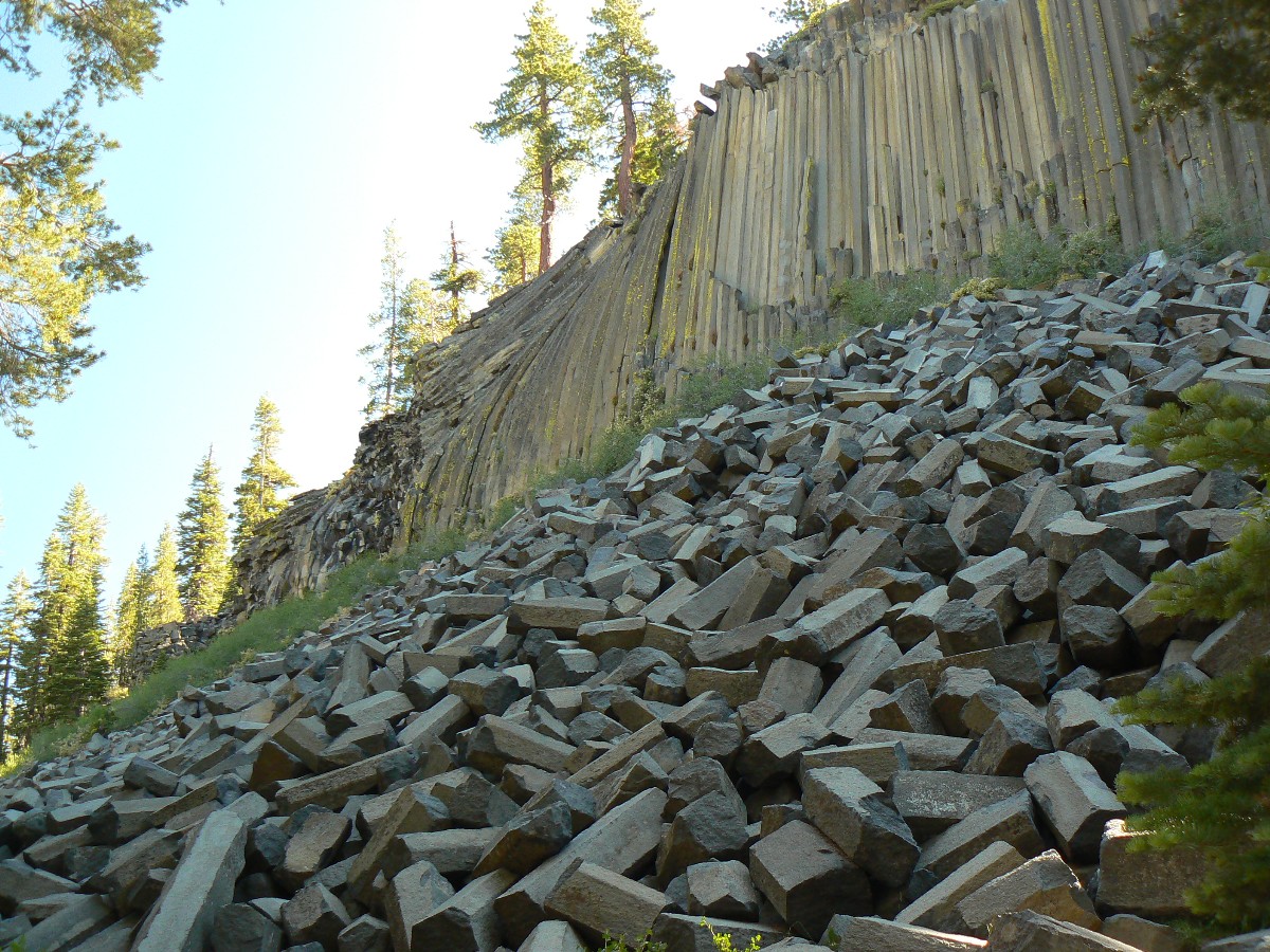
To Red Meadow/Devils Post Pile @ 7580’. JMT mile 58.7; 6.3 mile day; ERM = 9.3. Today ends Section 1 of the hike.
Again with the jarring beep of back-up horns and the thunder of motors as we approach
the columnar basalts of Devils Post Pile. The tuft-walking is dusty, yet winds through the big trees, quietly before
the NM. We hop a bus for the 7 mile ride with packs and resupply bucket to Mammoth, where Mark’s car is parked, and from
where Mark will return to Smog Lake, in the pretty great state of Utah.
A shower, a meal, pack the bear canisters – jammed full, send some extras back with Mark.
Then, Dave and I bus back to Reds Meadow to visit the hot spring bath house, followed by a quick call to Kathleen
before bed time.
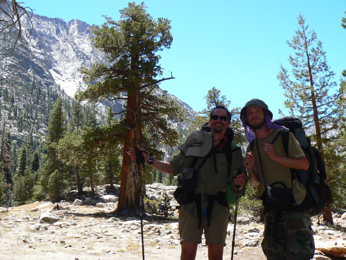
Today we meet Larry, who would become an occasional trail companion, also Michael
and Justin, Mark and Julie.
With the packs tucked snuggly in the bear box, I dream the dread of an overly full pack.
(End of Section 1 of the Jaunty Juggernaut – hiking the JMT.)
JMT - Day 8 Photos by Rob
JMT - Day 8 Photos by Rob
"Going to the mountains is
going home". - John Muir
Map - JMT Section 2: Click here to go to Section 2:
Reds Meadow to Muir Trail Ranch
Day 8: Duck Dowager:
To Duck Lake Outlet @ 10,050’. Start of JMT Section 2. JMT mile 70.5; 11.6 mile day; ERM = 20.6.
Post prandial bliss, walking the pumice path through wrinkled ghost trees of the
Rainbow Fire and heading for the Red Cones, then over the dowager hump starting at Deer Creek Crossing and rolling far
above Cascade Canyon, like rolling over the portly plumpness of the now average American belly girth.
We start the cool day with a breakfast buffet gorging – hence the ‘post prandial.’
I make a final call to the lovely Kathleen, perhaps the last phone contact until Whitney Portal? Perhaps.
The pumice path is dusty yet soft as we cross the low divide and county line
(Madera/Fresno) and pass Crater Meadow, replete with flowers. As we hike the bulbous belly bump from Deer Cr. To
Duck Lake outlet, volcanics slowly yield to granitics.
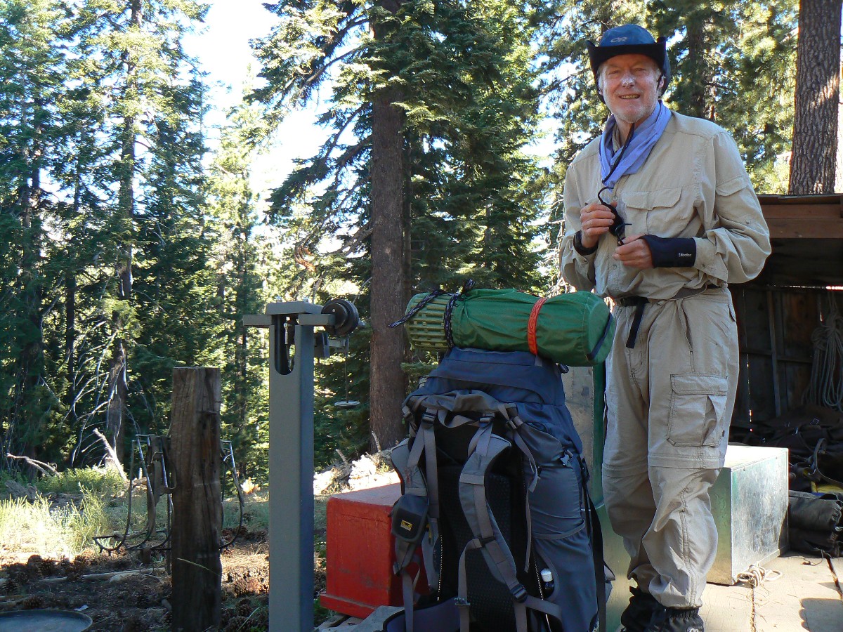
Larry, Dave, and I weigh-in at the Red Meadow pack station, where wranglers are getting
ready to haul in a drop camp. My recently fatted pack weighs in at 43 pounds. Not bad, especially considering that
Hiker Cat and Vickie have packs nearly as heavy.
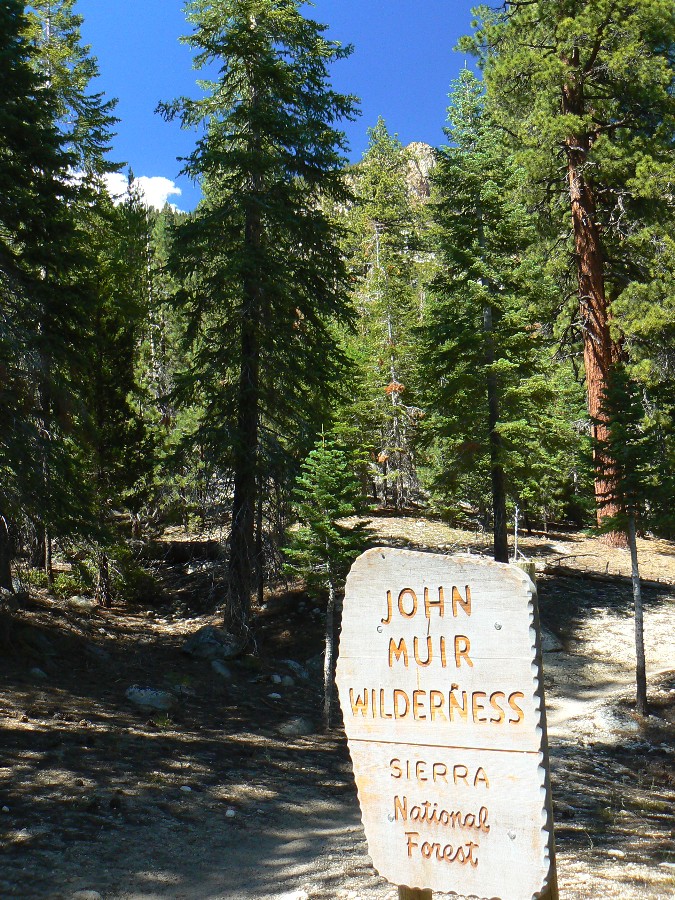
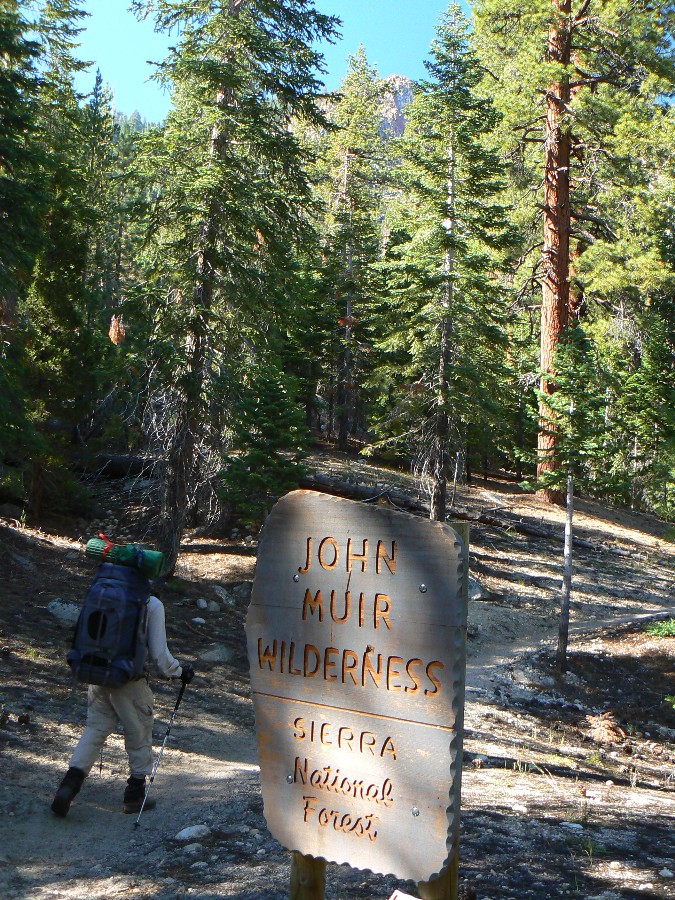
Today we enter the John Muir Wilderness, and encounter Katie N. of the USFS, and learn
that while we are in the Sierra NF, it’s managed by the closer Inyo NF. Today Dave and I enjoy hiking with Larry R.
until after the afternoon prophetic reading of the Book of Wenk, punctuated by grand views across Cascade Canyon.
JMT - Day 9 Photos by Rob
JMT - Day 9 Photos by Rob
"Not blind opposition to progress,but opposition
to blind progress..". - John Muir
Day 9: Tally Ho to Tulley Hole:
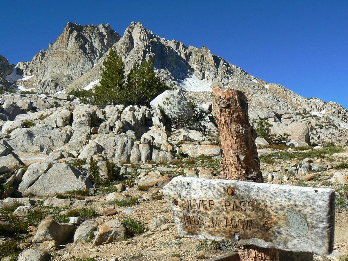
To camp down canyon from Squaw Lake @ 9700’. JMT mile 79; 8.7 mile day; ERM = 16.
“Talley Ho to Tulley Hole” we chant as we wind the seemingly endless switchbacks
tightly toward the headwaters of Fish Creek, near the head of U-shaped Cascade Canyon. We’re coming from vistas to
Purple Lake, after which we climb over the low and broad crest, passing the rock glacier with neural activity
commensurate with sarah palin and the tea baggers, before dropping into lovely Lake Virginia.
From Tulley Hole, we lilt down Fish Creek to a deluxe crossing near 9000’. It’s
all up and uphill to Silver Pass from here, and we begin the slog, yet are interrupted by thoughts of cold alpine
lakes, cold air slumps, and then there’s the time of day – so, we camp on a forested bench and enjoy a quick bath
and a small fire. Wondrous, and much warmer than last night at Duck Lake Outlet.
|
|---|
Pano from Silver Pass - Day 10 2.3mb
(Image is very wide - scroll to view it (2664 x 800; 2.3mb) - Click
the image for the full-size image)
|
|---|
|
JMT - Day 10 Photos by Rob
JMT - Day 10 Photos by Rob
"One should go to the woods for safety, if
for nothing else". - John Muir
Day 10: Down Trodden:
To Lake Thomas Alvis Edison @ 7720’. JMT mile 87.6; 10 mile day; ERM = 18.
Down. Down off Silver Pass. Down. Down from Silver Pass Lake. Down to the N Fk.
of Mono Creek. Down to Quail Meadows, where we leave the JMT and head for Thomas A. Edison Lk. And the promise of
food. Down to the Lake at 7720’. Down into big Manzanita and junipers. The knees and puppies complain and shriek,
like republican bankers asked to pay their fair share of taxes.
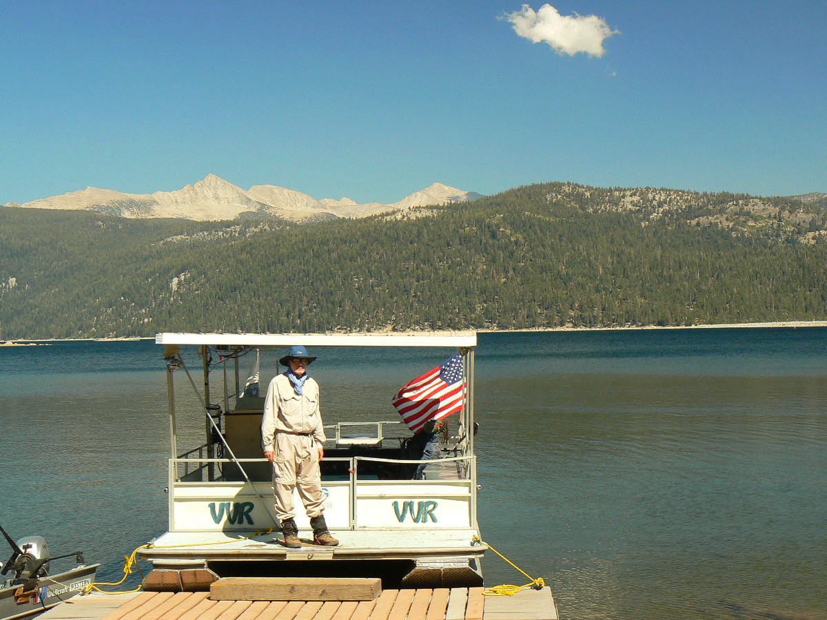
We ferry across Lake Thomas A. Edison to VVR, Vermilion Valley Resort, now owned by
Jim C., a friend of Dave C. We gorge on good food and renew friendships of the trail: Larry, now of Brazil, an
escapee from LA and actually named Laurent, Josh and Kasia, Catherine and Vickie of LA, and Art. Ada bunks in the
hiker tent cabin, and the rest of us pitch tents down from the store. It’s an abrupt and happy return to natural
quiet when the throbbing generator shuts down just after sunset.
JMT - Day 11 Photos by Rob
JMT - Day 11 Photos by Rob
"Everybody needs beauty...places to play
in and pray in where nature may heal and cheer and give strength to the body and soul alike".
- John Muir
Day 11: Vermilion Vamous:
Back on the JMT to Quail Meadows area @ 7870’. 87.6 JMT mile; 1.3 mile day.
I’m again using the expensive satellite phone at VVR to call Kathleen – and this time
I get through. All is OK. A luxurious breakfast is enjoyed with new friends and Josh begins photos for a pancake
album while I get a photo of Roy, the pancake man. Dave and I do some laundry and I write some notes before we again
ferry across Lake Thomas A. Edison to camp near the JMT, where Western Juniper and Jeffrey Pine appear to dominate
(according to The Book of Wenk).
It’s with mixed feelings that we leave VVR, partly because Roy has started BBQing
slabs of ribs, quarters of chickens, and some pork cut, and the aura of odors wafts past as we head for the beach, for
the ferry back to the TH. On arriving at the shore, we glimpse Jim and Kristi literally running for the ferry – along
with a more than capacity crowd, who must have smelled the BBQ. We camp just before the junction to Sheldon Pass.
|
|---|
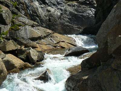
Movie of sluicing Bear Creek - Day 12 - 5 MB
(Click the image to see the short video - 5 MB)
|
|---|
|
JMT - Day 12 Photos by Rob
JMT - Day 12 Photos by Rob
"One day's exposure to mountains is better
than a cartload of books". - John Muir
Day 12: Bearly There:
To Upper Bear Creek Meadow @ 9560’. JMT mile 97.5; 10 mile day; ERM = 18.
Climbing the cool morning past cinnamon stick cedars, rolling the seemingly endless
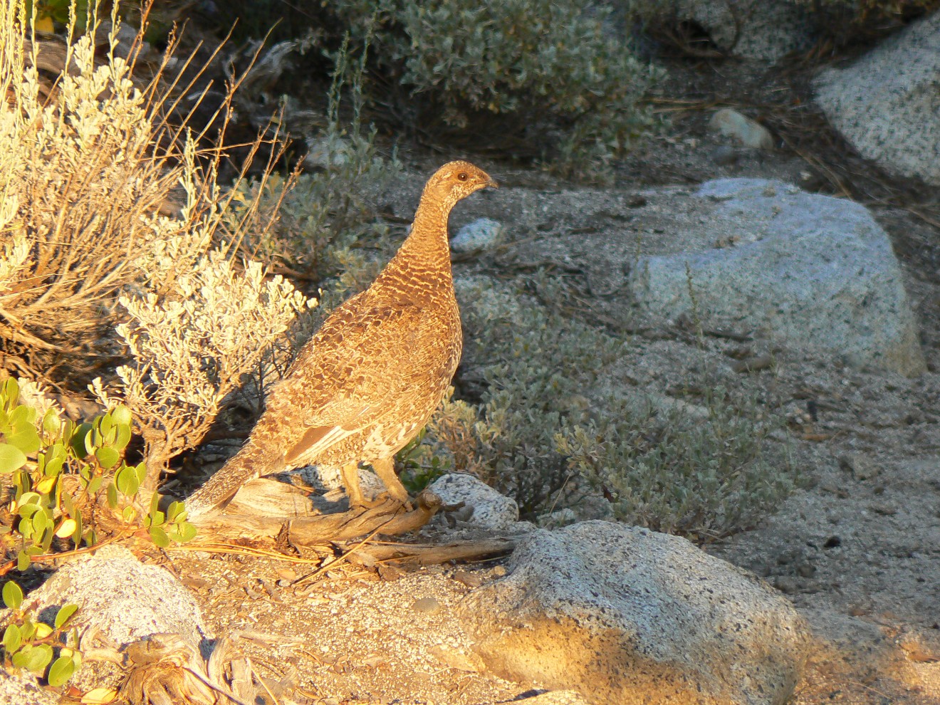
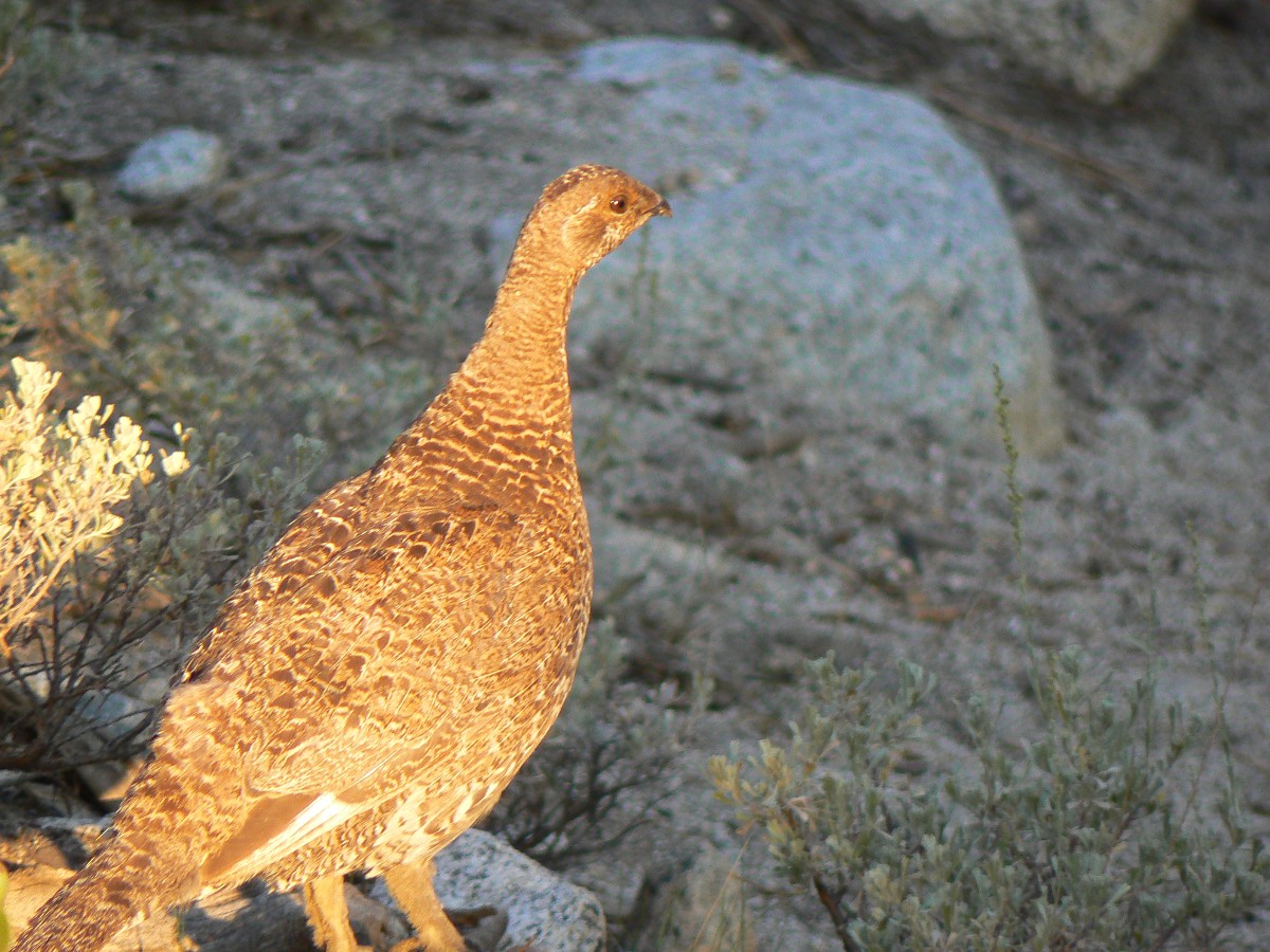
switchbacks of Bear Ridge, a Blue Grouse steps out near the trail and clucks ‘hello.’
Eventually, the trail rounds out as it reaches the Bear Ridge Trail cutoff and 9880’,
then bends down through crispy fields of past-due Mules Ears, their color all but gone, to 8934 where we meet the
thundering, sluicing Bear Creek and begin our ascent to Seldon Pass. But, not today. Upon reaching the boots-off
ford of Bear Creek we examine the prophetic Book of Wenk and evaluate our comfort camping options. Gazing at the
ramparts of the Seven Gables and the warm glow on the polished granite (bath time!?), and the dry camp – we pause,
then stop for the night. We might have pressed on, yet farther on camping options thin and bugs bloom.
It’s been a gorgeous hike – through deep forests and past flower gardens and the
sluicing Bear Creek.
JMT - Day 13 Photos by Rob
JMT - Day 13 Photos by Rob
"Who wouldn't be a mountaineer! Up here all
the world's prizes seem nothing". - John Muir
Day 13: Into the Hole:
To JMTR @ 7790’. JMT mile 107.1 (+0.9 mile to ranch); 10.5 mile day; ERM = 20.5.
First, there is the up, from Upper Bear Creek Meadows to Selden Pass at 10,880’,
followed by what would be a march to the hole that cradles the San Joaquin River and MTR, Muir Trail Ranch.
We start with a wade of Bear Creek and a pleasant route up through Rosemarie Meadow
and along the shore of scenic Marie Lake before the short climb to Selden Pass, where we again encounter Vickie and
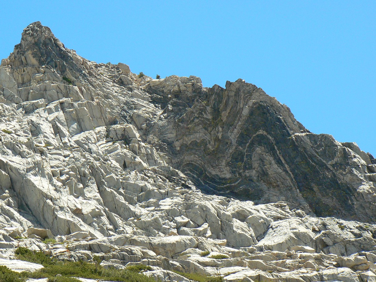
Catherine – also on their way to the golden bucket at JMTR. A Sierra swirl decorates a rock face above the pass,
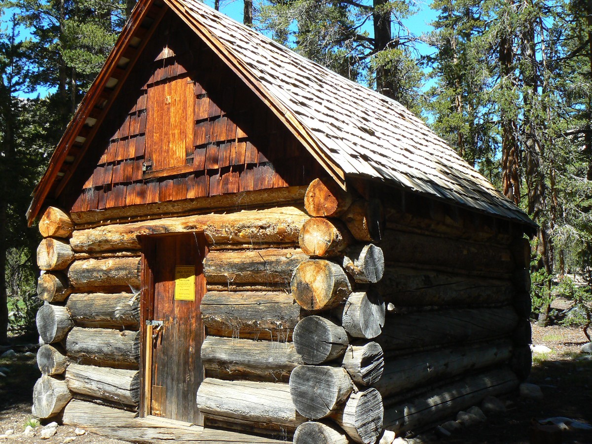
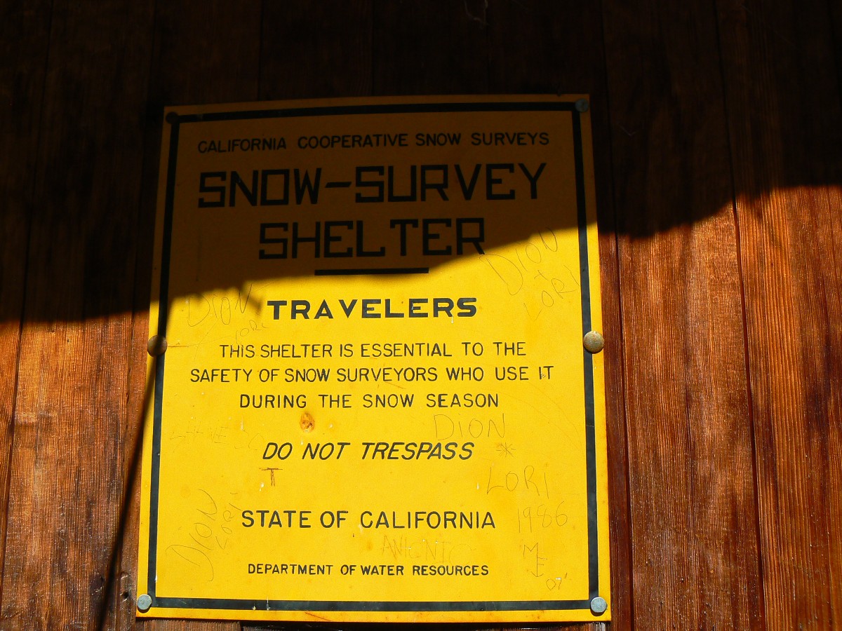
a marbled fold of ancient rock. Down. Down to Heart Lake, then Sallie Keyes Lakes, and then the snow survey cabin
where I am greatly disappointed – no scenic toilet here. Now the real down begins – long and short switchbacks from
10,000’ to 8400’ and the junction with the JMTR trail, where serious ungraded dropping smashes the already wounded
puppies. Horah – at the ranch in time to find the golden bucket and begin to charge camera batteries, yet no time
to finish organizing the resupply, so we leave the bucket and go camp above the river, eating a few treats gleaned
from the hiker buckets of abandoned food. Yum.
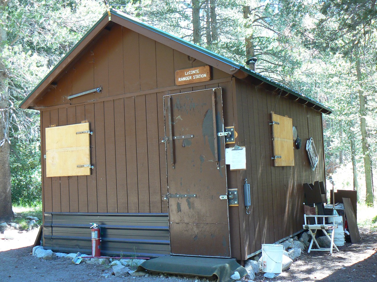
(End of Section 2 of the Jaunty Juggernaut – hiking the JMT.)
JMT - Day 14 Photos by Rob
"Between every two pines is a doorway to a
new world". - John Muir
Map - JMT Section 3: Click here to go to
Section 3: Muir Trail Ranch to Woods Creek/Paradise Valley
Day 14: Goodbye Namesake:
Out of JM Wilderness and into Sequoia-Kings Canyon Wilderness to S. Fk. San Joaquin @ 8400’.
Start Section 3 of the Jaunty Juggernaut.
August 17th today. JMT mile 113; 5.7 mile day on JMT + 1.5 cutoff trail = 7.2 total; ERM = 10.2.
The hot winds swirl the aroma of tasted vanilla pines and lift powdery dust around
our boots as we slog up the JMTR cutoff trail and back to the JM Trail.
We repacked our bear canisters for this, Section 3 of the JM Jaunty Juggernaut, and
are once again toting full packs – somewhere at 40+ pounds. It’s quite warm in the lowlands and we look forward to
climbing into the One True Valley, Evolution Valley. “The One, One True Canyon, mighty and strong” chant the
religionists, named for Charles Darwin and His colleagues. “And there shall be no false canyons bearing His name,
yeah thou shalt be cast out into an overpopulated hell hole of smog, say LA, Phoenix, Las Vegas, or Smog Lake (other
places that should not exist because of no water, etc.) – if you defy the Truth.” The canyon of Truth awaits us – just
up the hill of sacrifice.
We roll across the bridge over Piute Creek and the JM Wilderness boundary, and up the
San Joaquin River with its tumbling cascades and jade green pools – to the first crossing, where we find a nice camp
with sort of nice women who caution us “not to camp too close.” A fine bath eases the short day, and the beginning of
this, the Third of Four JM segments, as demarcated by resupplies. It’s good to snuggle in the down bag and dream of
campsites enjoyed and yet to come.
|
|---|
Movie of mighty Evolution Creek #1 - Day 15 - 23 MB
(Click the image to see the short video - 23 MB)
|
|---|
|
JMT - Day 15 Photos by Rob
|
|---|
Movie of mighty Evolution Creek #2 - Day 15 - 20 MB
(Click the image to see the short video - 20 MB)
|
|---|
|
|
|
|---|
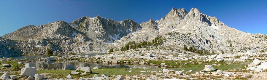
Pano of Evolution Lake #2 - Day 15 650kb
(Image is very wide - scroll to view it (3084 x 800; 650kb) - Click
the image for the full-size image)
|
|---|
|
"When we tug at a single thing
in nature, we find it attached to the rest of the world". - John Muir
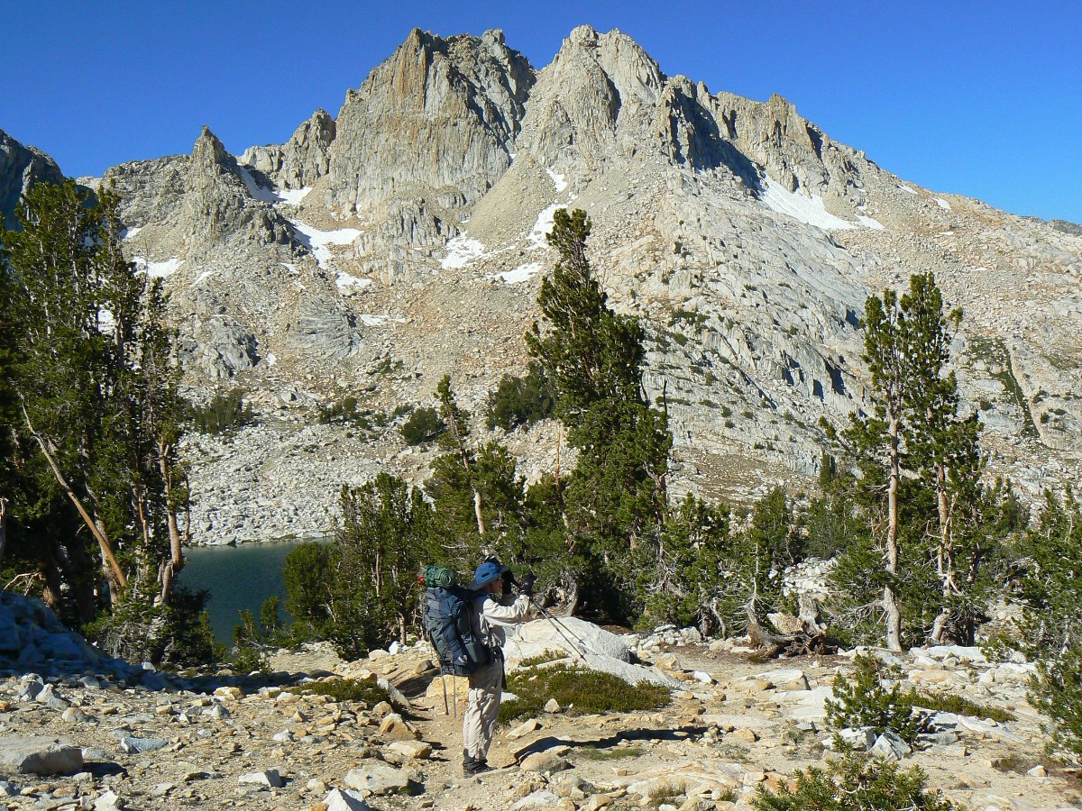
Day 15: Evolving Higher and hitting Double Digits:
To Evolution Lake @ 10,850’. JMT mile 122; 9 mile day; ERM = 14.
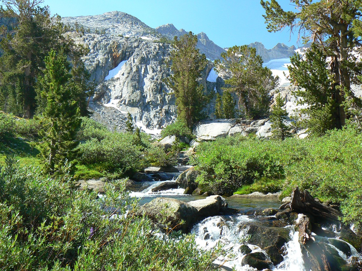
The crystal froth leaps and sprays over consecutive falls and cascades as it hurtles
out of hanging Evolution Valley, mighty and strong. We’re chugging up toward the ford of Evolution Creek and then on
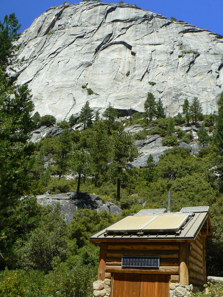
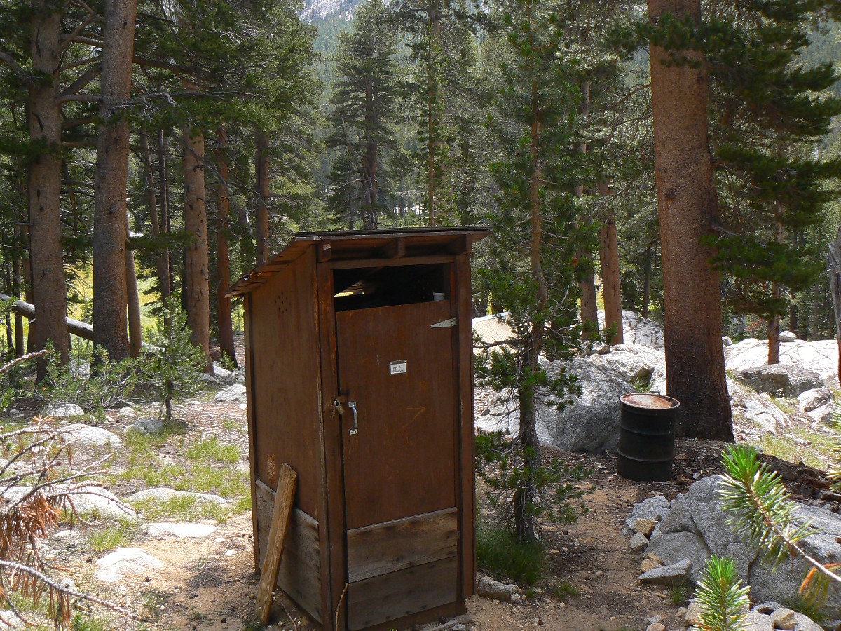
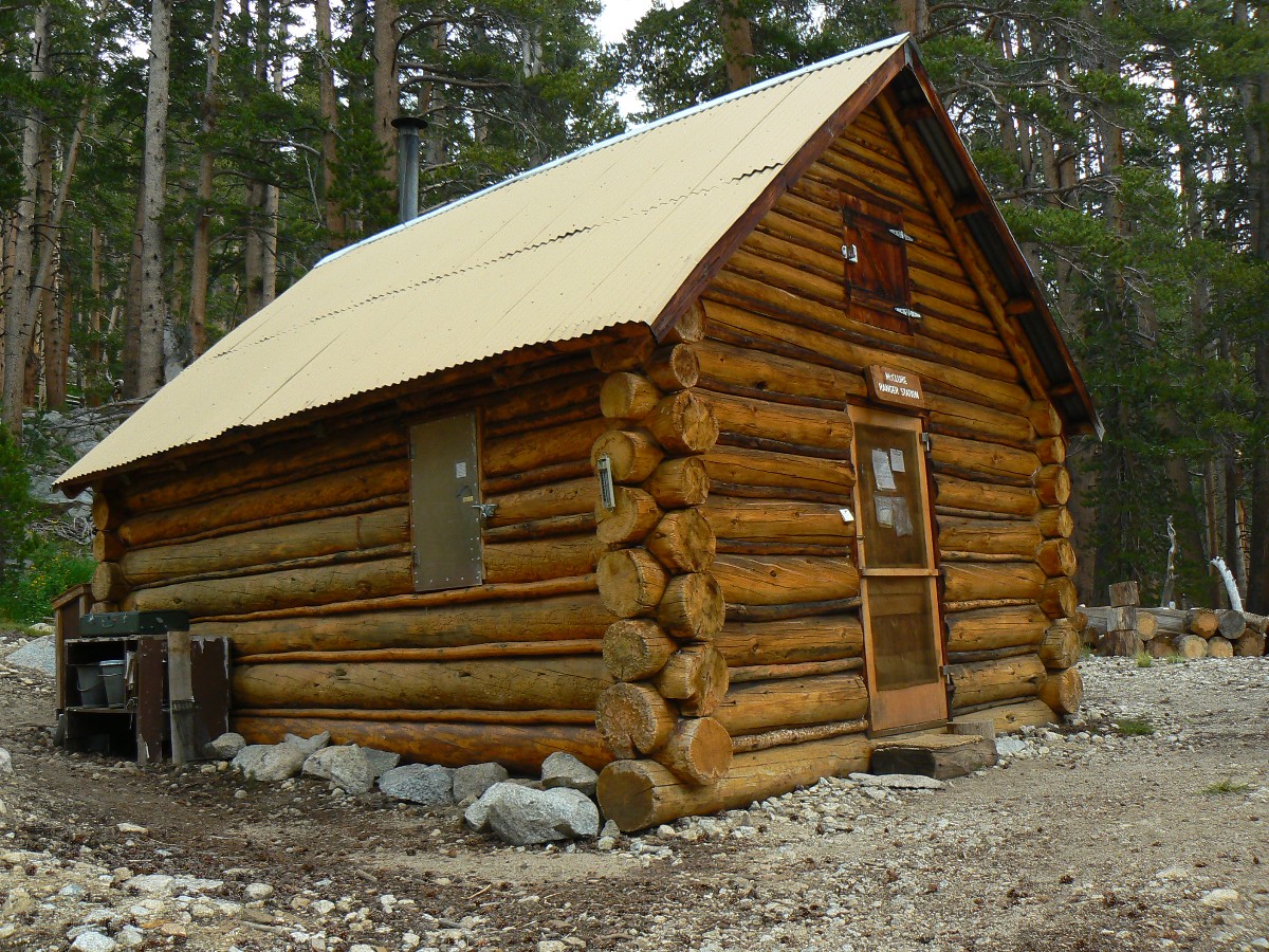
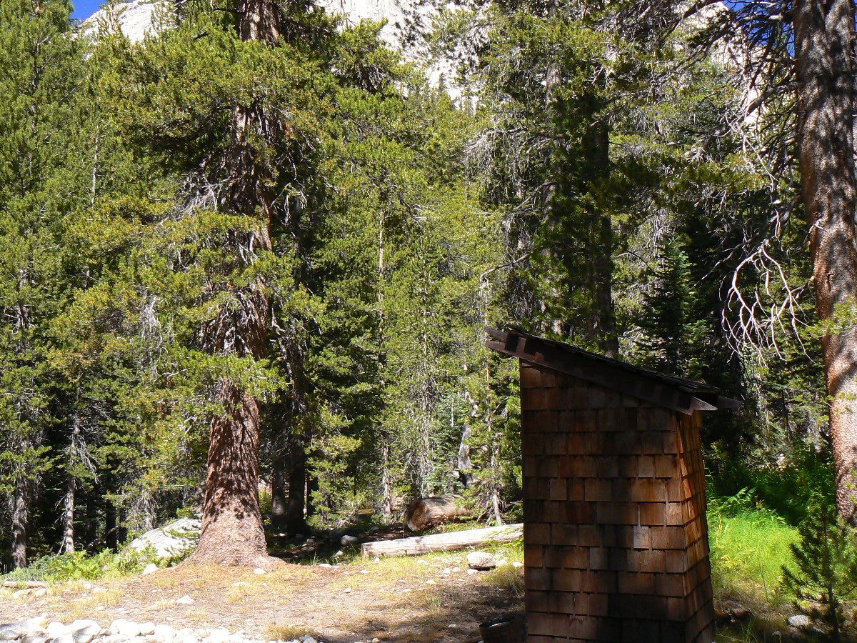
to lunch at McClure Meadow – with its historic patrol cabin and scenic outhouse. Today, the ford is boots off but easy.
Pondering our options and eyeing the building clouds and examining the distances to camping on either side of Muir
Pass – we head for Evolution Lake.
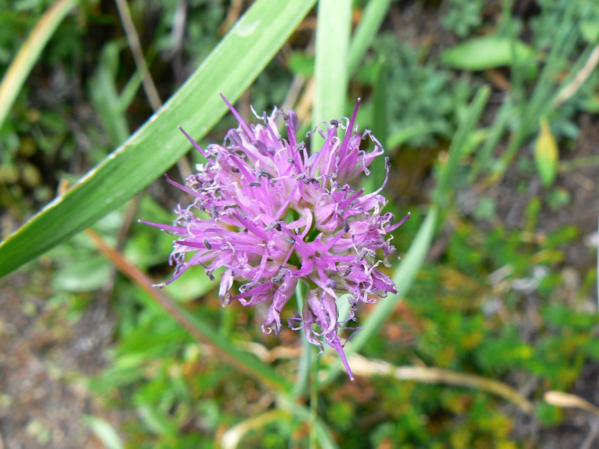
The odiferous aroma of Swamp Onion drifts by as we inch up the switchbacks from Colby
Meadow to the starkly polished basin of Evolution Lake, surrounded by the peaks named for the masters of the universe,
Darwin, Mendel, Huxley, et. al. A panorama of delight, yet a bit crisp – especially with the high wind gusts. The
racing clouds dissipate at sunset, leaving the masters and the moon.
And, hitting double digits because there are about 96 miles to go to Whitney Portal – in the 90’s, double digits. Met
Martin, and talked flowers and presidential jets flying low over the JMT.
|
|---|
Pano of morning at Evolution Lake - Day 16 412kb
(Image is very wide - scroll to view it (3332 x 800; 412kb) - Click
the image for the full-size image)
|
|---|
|
JJ of the JMT - Day 16 Photos by Rob
|
|---|
Pano - approaching Muir Pass (Muir Hut on left low in pass) 180 degree pano - Day 16 1.7mb
(Image is very wide - scroll to view it (6278 x 800; 1.7mb) - Click
the image for the full-size image)
|
|---|
|
"Writing is like the life of a glacier;
one eternal grind". - John Muir
Day 16: Muir Day:
Over Muir Pass and nearly to Pig Pete Meadow @ 9400’. JMT mile 143.2; 11 mile day; ERM = 18.
The day dawns cold with a nearly totally wet tent and a rim of frost on the bag.
Ick. Down canyon, sunrise peeks through a smoggy inversion. Too many people, it’s just not sustainable. Certainly
and absolutely we are breeding ourselves into extinction, and geometric progression is speeding us to a crescendo of
catastrophe.
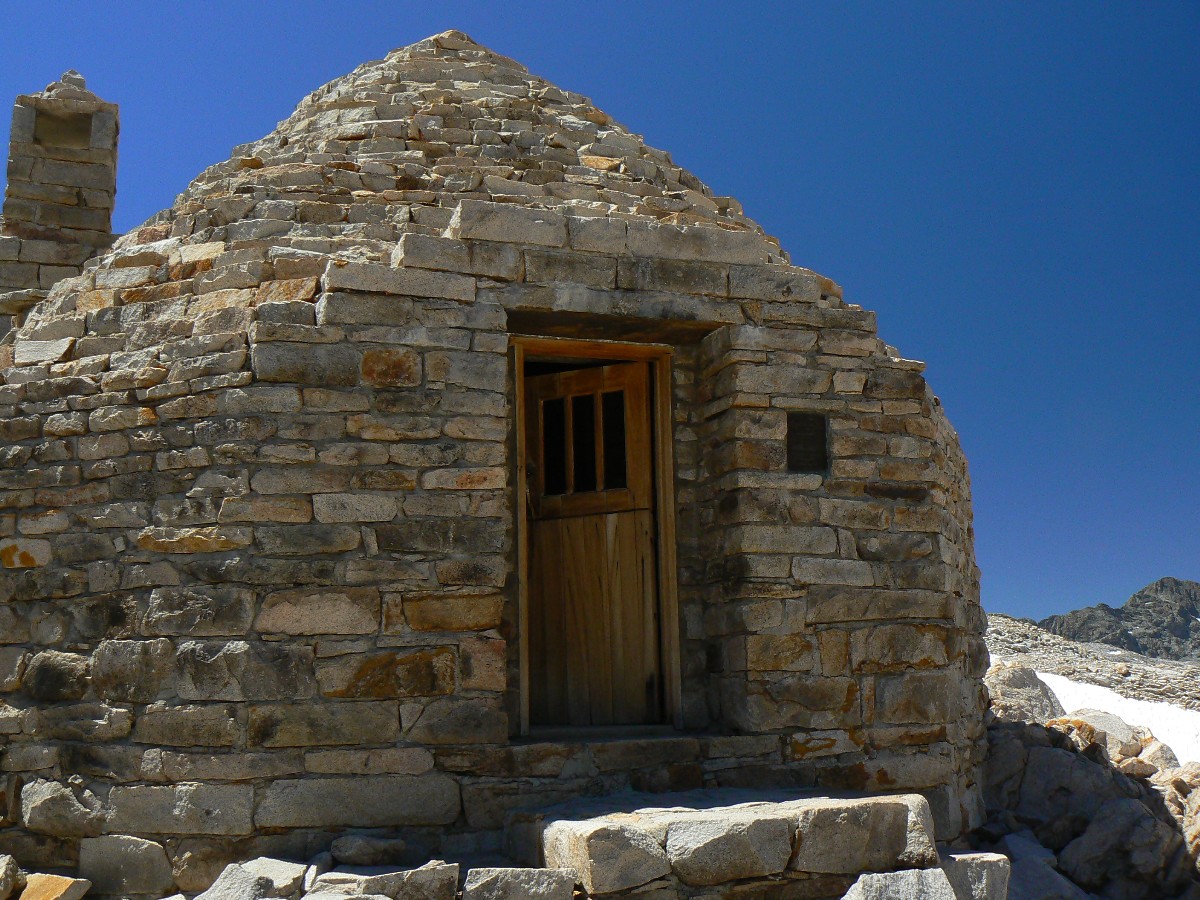
Yet, the views of Evolution burst bright and luxurious. It’s a stellar roll through
Evolution Basin and up to Muir Pass, where the Muir Hut is circled with hikers. High, at nearly 12,000’, the air is
just noticeably rare.
We find some nicely polished granite slabs to dry bags and tents, then continue down
this, the King River drainage – which apparently never reaches the sea – all diverted for the too many. I see froggies
and pollywogs in an unnamed lake. No froggies ply the shores of once Tulare Wetlands because now they more resemble a
dustbowl than a wetlands. Cadillac Desert. Humankind, if it is to survive much longer, needs population reduction help
from all religionists.
Then, we drop alongside nearly constant cascades toward Big Pete Meadow, feet becoming
more tender and bruised as we go. Marginal camps are passed and we pick an OK camp – apparently just short of the
meadow. Tomorrow will probably elucidate how close we are to Big Pete, or a better camp. Yet, at least the brief
mosquito attack is finished. The mice come out to investigate as I finish putting away the Caldera stove.
A doe and two fawns browse through camp.
From the PBS series Cadillac Dessert: “William Mulholland emigrated from Ireland in
1878, and worked as a ditch digger for the L.A. water system. He quickly taught himself hydraulic engineering, rose
quickly through the ranks, and soon became superintendent. He tried desperately to make the exploding population conserve
water, but growth sabotaged everything he did, and soon the city sucked dry the little Los Angeles River, its only
source of water. Mulholland knew he would have to find new water, and turned to the remote Owens Valley, 230 miles north
of L.A….”
As a common theme in all honest books about our increasingly more catastrophic
environmental, social, judicial, spiritual, and economic problems, is the unreported fact that all conservation efforts
will be outpaced and overrun by population growth. Again, from Cadillac Dessert: “Mexico City, struggling to provide
water for its growing population, is sinking -- in some sections up to 12 inches a year -- due to overdrawn aquifers.
Here, wealthy families get affordable piped water, while poor families must pay high prices for water brought in by
truck. In the developing world, 80 percent of illnesses such as cholera, typhoid and dysentery are related to the lack
of clean water and sanitation.”
|
|---|
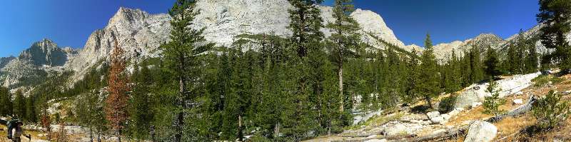
Pano - Dave hiking down Le Conte Canyon, along MF Kings River - Day 17 921kb
(Image is very wide - scroll to view it (3212 x 800; 921kb) - Click
the image for the full-size image)
|
|---|
|
JJ of the JMT - Day 17 Photos by Rob
|
|---|
Pano - Sunset near Palisade Lake - Day 17 404kb
(Image is very wide - scroll to view it (3261 x 800; 404kb) - Click
the image for the full-size image)
|
|---|
|
"I only went out for a walk, and finally
concluded to stay out till sundown, for going out, I found, was really going in".
- John Muir
Day 17: Lilting LeConte:
To the Golden Staircase @ 10,300’. JMT mile 145; 12 mile day; ERM = 20.
The day dawns much more comfortably than at Evolution Lake, dry and warm. Lovely.
We pack slowly and continue past obscure Big Pete Meadow to an overlook of Little Pete Meadow and the LeConte area,
looking down the busy Middle Fk of the Kings River. Down we hike, pausing for scenic toilet photos at LeConte R.S.
The sign-in list at this junction with the Bishop Pass Trail contains “Budig, 8-19.” Dave and I had initially planned
to hike with Budig, yet opted out because we wanted to see more than high mileage days and the tops of our boots.
I muse that I can recall what color my boot laces are, so don’t wish to study them for hours each day – I enjoy being
among the walking meditators, ambulating the wilderness.
The trail continues to drop, and a reading of the Rapture in the Book of Wenk enlightens
us that we are at the lowest point from here to past Whitney when we turn from the Middle Fk and start up Palisade Creek
toward Mather Pass.
Leaving the sky seekers along LeConte, we hike the easy up section of the trail through
the remains of ghost trees from a 2002 lighting strike fire to the braided crossing of Glacier Creek – in the hot sun and
temps of the lowlands. With over 4000’ of elevation gain to Mather Pass, we abandon our intention to camp near the base
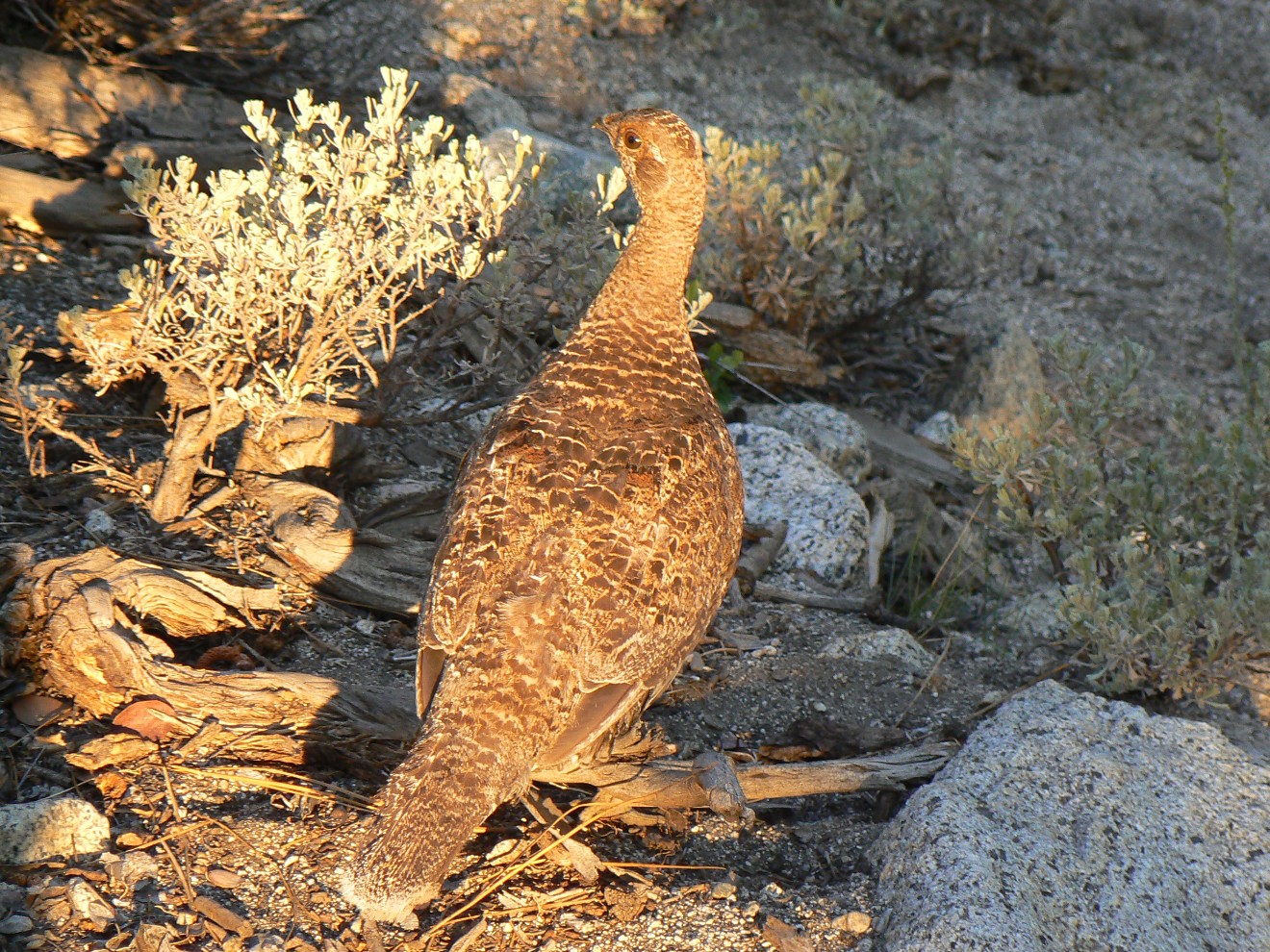
of the Golden Staircase and start up the switchbacks, gaining altitude, losing warmth. A pika comes out to bark at me as
I inch upward. Believing there is limited camping at the Palisade Lakes, we shoehorn into a nook of red heather and
stunted whitebark pines, a few hundred feet and possibly a trail mile below Palisade Lake. Alpenglow on the naked
ramparts of the North end the sunlight but not our camp tasks.
We meet Eric and Lori, students from San Francisco.
|
|---|
Pano - looking South into Upper Basin from Mather Pass - Day 18 632kb
(Image is very wide - scroll to view it (3763 x 800; 632kb) - Click
the image for the full-size image)
|
|---|
|
JJ of the JMT - Day 18 Photos by Rob

|
|---|
Pano - circular (360 degree) panorama from Upper Basin, with Mather Pass on left - Day 18 2.1mb
(Image is very, very wide - scroll to view it (10278 x 800; 2.1mb) - Click
the image for the full-size image)
|
|---|
|
"We all travel the Milky Way together,
trees and men". - John Muir
Day 18: Mostly Mather :
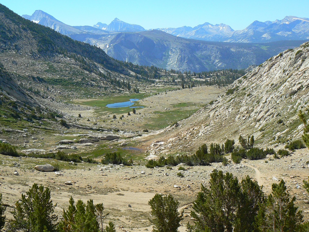
Mather Pass to crossing of S Fk Kings River @ 10,000’. JMT mile 154.8; 9.8 mile day; ERM = 17.4.
We’re lurching up the beginning switchbacks above Upper Palisade Lake when the Coyote
chorus breaks loose from the rockfield to the East. Song Dog. A cool wind is building as we climb interminably endless
switchers. I pause and a Pika pops out and poses. Delightful Connie. A sharp crack followed by a boom announces a
big rockfall in the basin. Finally, Mather Pass at 12,100’, and a suddenly open view of Upper Basin – I suppose of
the S. Fk. Kings – explodes. More wind, and now with racing banks of clouds tagging along. Yikes – what are we in
for? Down the well-graded and impossibly positioned switchers to the flats of Upper Basin. It seems like tundra
country – almost no plants higher than 3 inches – barren like.
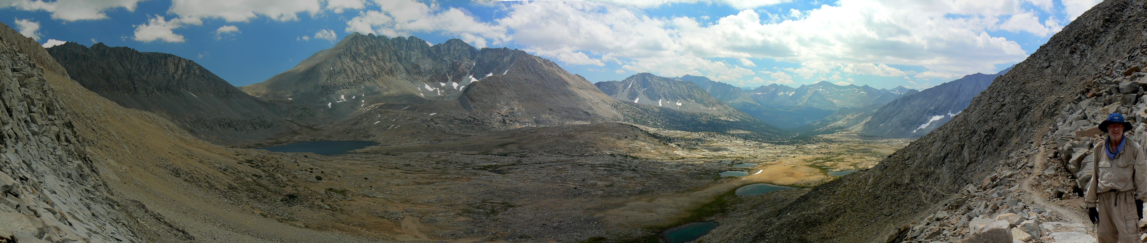
I try a circular pano. (You can see the results above --
Mather Pass is on the left of the pano, the trail down to S Fk King is in the center of the pano, and the trail (again)
coming down from Mather is on the right, bringing us back to the view from the left side of the pano. Yes, I know
there are some blurry spots in the pano - yet this was taken with altitude issues, gusts of wind, and unseady
disequilibrium...)
Growing tired, we roll down into tree cover and start hopping tributaries. This
social trail is mostly quiet today, and we see only about 10 people. We are seriously out of gas and fearing bad
weather so we camp after the first crossing of the main S. Fk. Kings. It’s cool, so I’m finished writing for
today – especially because it’s Pinchot Pass (12,130’) tomorrow.
In our haste to establish camp due to clouds darkening and darkening and temperature
dropping and dropping, I fail to notice the degree to which this is horse shit heaven – huge piles of partially
obscured road apples, apparently poorly processed by wranglers.
|
|---|
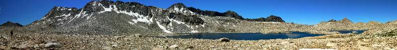
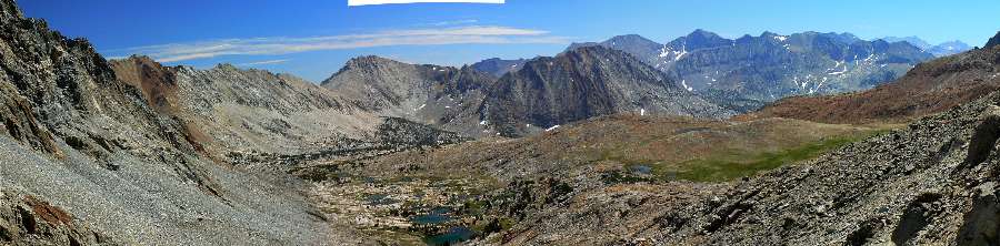
Pano - looking North from Pinchot Pass - Day 19 832kb
(Image is very wide - scroll to view it (4131 x 800; 832kb) - Click
the image for the full-size image)
|
|---|
|
JJ of the JMT - Day 19 Photos by Rob
|
|---|
Pano - looking South from Pinchot Pass - Day 19 844kb
(Image is very wide - scroll to view it (3239 x 800; 844kb) - Click
the image for the full-size image)
|
|---|
|
"The sun shines not on us but in us".
- John Muir
Day 19: Pulling Pinchot:
To Sawmill Pass Junction-Woods Creek @ 10,350’. JMT mile 163.1; 8.3 mile day; ERM = 17.3.
Pulling Pinchot indeed. Starting out with a brisk, sometimes pack-turning wind
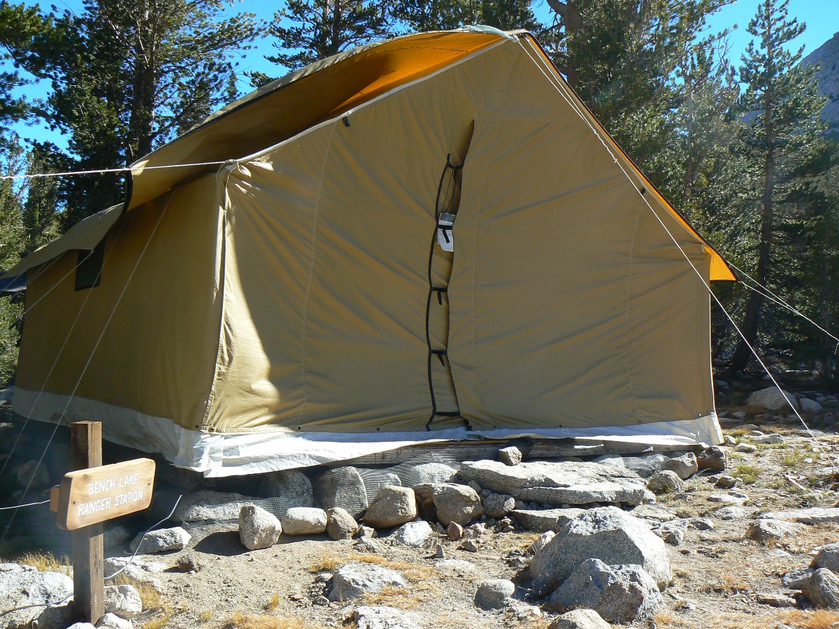
which would stay with us into the late afternoon, I pause at the sign indicating Bench Lake R.S. Yet, hardly a
hint of a trail can be seen. I follow a vague track of smashed groundcover plants and find a wall tent, yet,
sadly, no scenic toilet. Continuing past Lake Marjorie, we are above 11,000’ and pulling to 12,130’. I find it
an easier pass than Mather, even with the wind “helping.”
I’m sitting in a rock depression bordered by willows, and mostly hiding from the
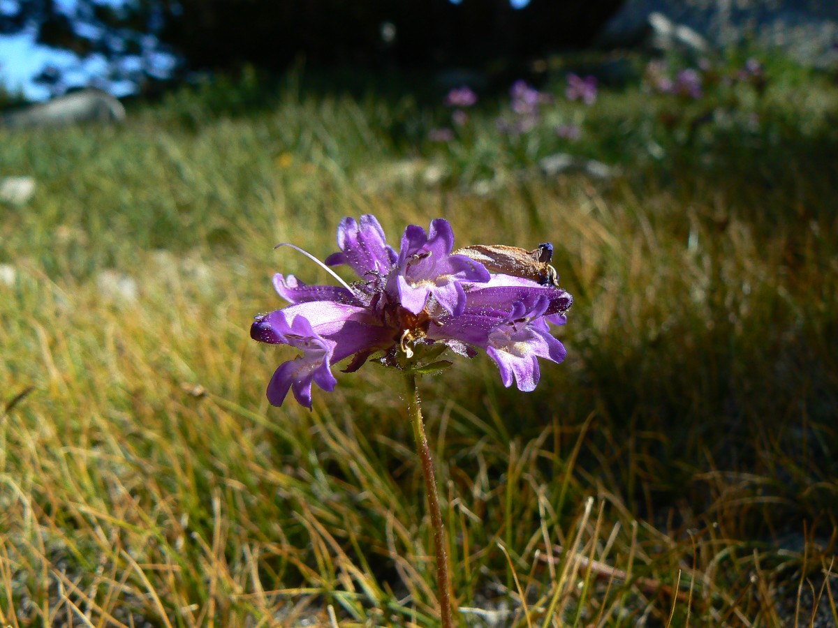
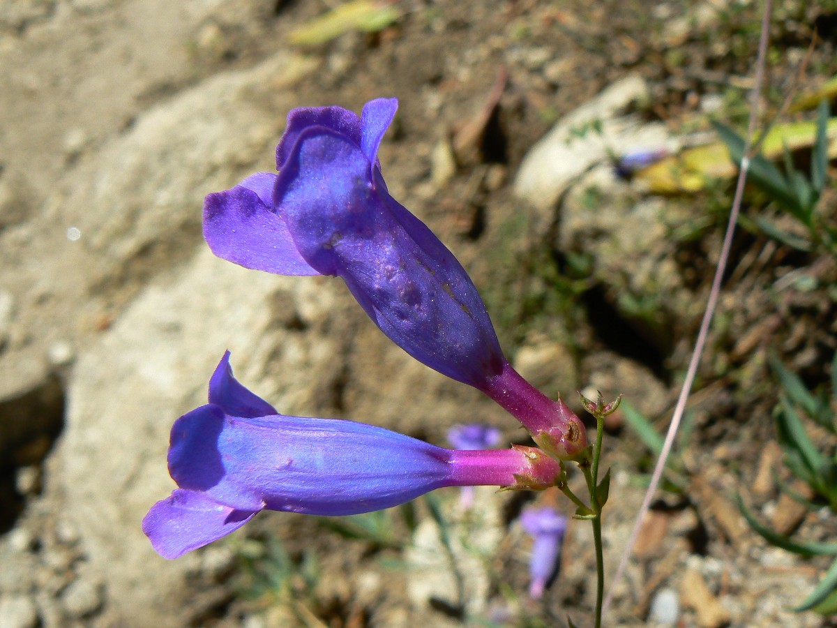
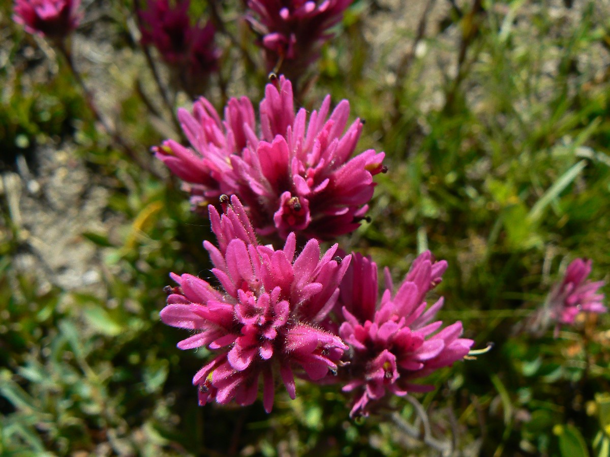
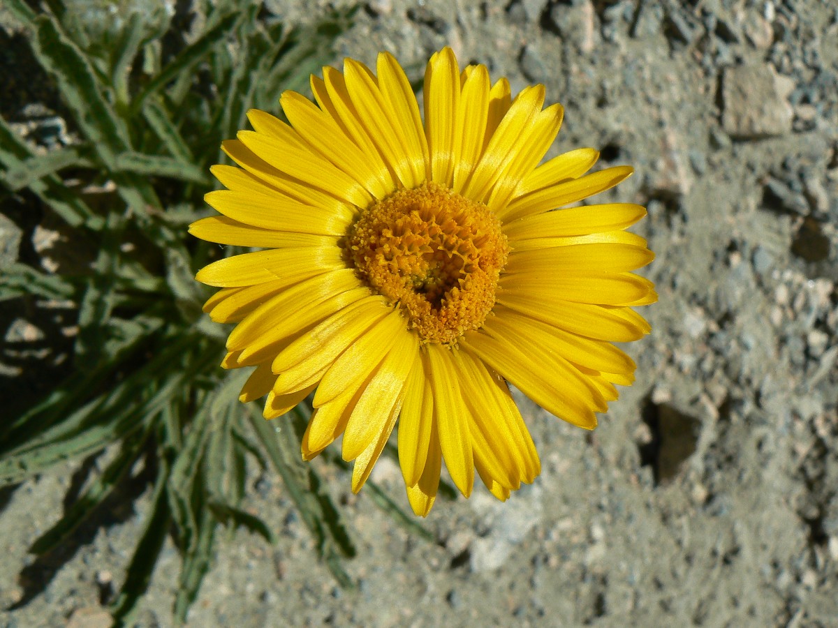
wind while admiring the rock garden in a nearby polished granite face. A plant resembling cinquefoil, a bright
fuschia penstemon, phlox of white, and gentian of blue. Artistic. And a plump marmot to prune them all.
The base rock turns from the igneous granite to a dark metamorphic as we reach
the pass and meet Jeremy and Jim, who plan to be on Whitney in 4 days. And, bursting out at the top – grand vistas
choked with hulking metamorphic monsters surrounding the Woods Creek basin. Tremendous.
Leaving the pass, we roll easily down graded switchbacks, first through flower-studded
meadows, then entering Whitebark Pines before intersecting Sawmill Pass junction. We camp just up this trail.
Jeremy and Jim – photo from Pinchot Pass on Day 19.
|
|---|
Movie of Dave on the Golden Gate of the Sierra - Day 20, 6.4 mb
(Click the image to see the short video - 6.4 MB)
|
|---|
|
JJ of the JMT - Day 20 Photos by Rob
"The clearest way into the Universe is
through a forest wilderness". - John Muir
Day 20: Wondrous Woods:
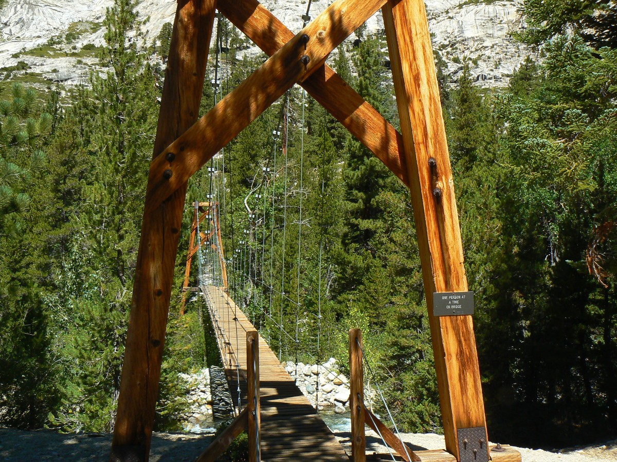
End of Section 3 of the JMT Jaunty Juggernaut. To Woods Creek Junction @ 8495’. JMT mile 166.6; 3.5 mile day; ERM = 7.5.
The surface is swaying, twisting, then undulating like shaking out a Navajo rug in a
side breeze. Twist, sway, undulate, yahoo. Yikes and yoweee. I’m on the swinging suspension bridge called the
Golden Gate of the Sierras, and it’s a deluxe experience swaying over Woods Creek. Wondrous. After strapping on
my hat and matching step to sway, I’m across and immediately into the bear box, trampled camp area where we will
meet Dave Cash tomorrow, or so plan A goes.
Eating lunch, and a huge green cone from a towering Jeffrey Pine explodes near our
feet, hitting the ground so hard it splits. A few feet over and Dave or I might have enjoyed a tremendous head
ache or the end to our JMT quest.
The day dawned cool near Sawmill Pass Junction, prompting me to hit the trail.
But first, a brief basking in the new sun, understanding why sun worship makes eminent sense compared to other
man-created religions (of course, all religions are man created). It’s a short, nearly all downhill short day
to the junction, alongside occasionally careening, slaloming Woods Creek as it negotiates the granitic luge run
over the 2000’ drop.
Bucket laundry and a partial rest day. Wondrous and priceless.
(End of Section 3 of the Jaunty Juggernaut – hiking the JMT.)
JJ of the JMT - Day 21 Photos by Rob
|
|---|
Pano - Castle Domes - Day 21 765 kb
(Image is very wide - scroll to view it (2980 x 800; 844kb) - Click
the image for the full-size image)
|
|---|
|
"When one tugs at a single thing in
nature, he finds it attached to the rest of the world". - John Muir
Map - JMT Section 4: Click here to go to
Section 4: Woods Creek to Whitney Portal
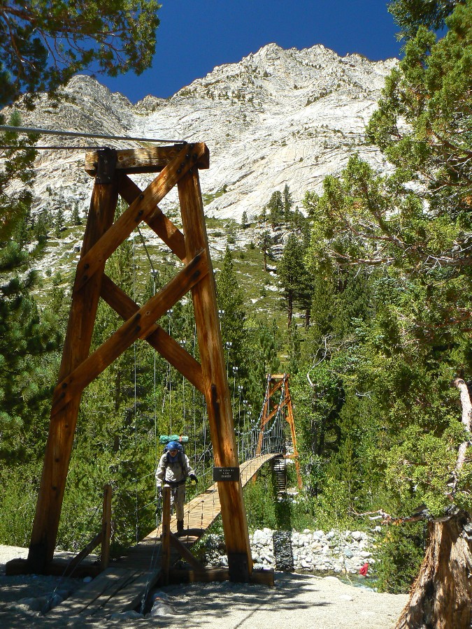
Day 21: Casharama; or Lucky 21:
Upper Paradise resupply. Back to Woods Creek Junction @ 8495’. Start of Section 4 of the Jaunty Juggernaut.
JMT miles = 0. 11 miles to Paradise. ERM = 18.5.
The early sun paints the pointy granite teeth so they look like flames rising from
the grey below. I’m on my way across the rippling Golden Gate of the Sierra and over to the scenic toilet. It’s
warm, then cold air plunges down canyon fleeing the sunlight. Dave R. and I enjoy a leisurely morning, for we await
lucky 21 (day 21) and a generous resupply by Dave and Steve C. Cashorama?!
We are hoping to see Dave and Steve by noon, wait another hour, then pack up and start
down Paradise Valley. People we pass report there is no one matching Dave’s description below, and we wonder if
something prevented Dave from making the trip. Perhaps the fires had briefly closed the roads? Finally, hikers
report Dave C. and brother Steve are at Upper Paradise Camp and will wait until 3 or 4 and then leave the resupply.
I give some of my equipment to Dave R. and lope down to Upper Paradise Camp to find Dave C. writing a departure
note. Quick repacking and hugs and Dave C. and Steve must start the 9 miles to the TH. Because they were unable
to get enough time off to make it all the way to Woods Junction, they had climbed higher into Paradise. A high
degree of Paradise, indeed, thanks to Dave and Steve.
I find my pack difficult to carry and I lurch up the trail and back to the Golden
Gate of the Sierra a bit after sunset, hoping the Cash brothers made it out in the light. Tired, strained muscles.
It’s warm, so the after dark thirty re-setting of camp, cleaning up, cooking go OK.
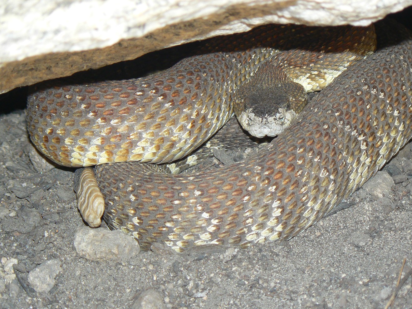
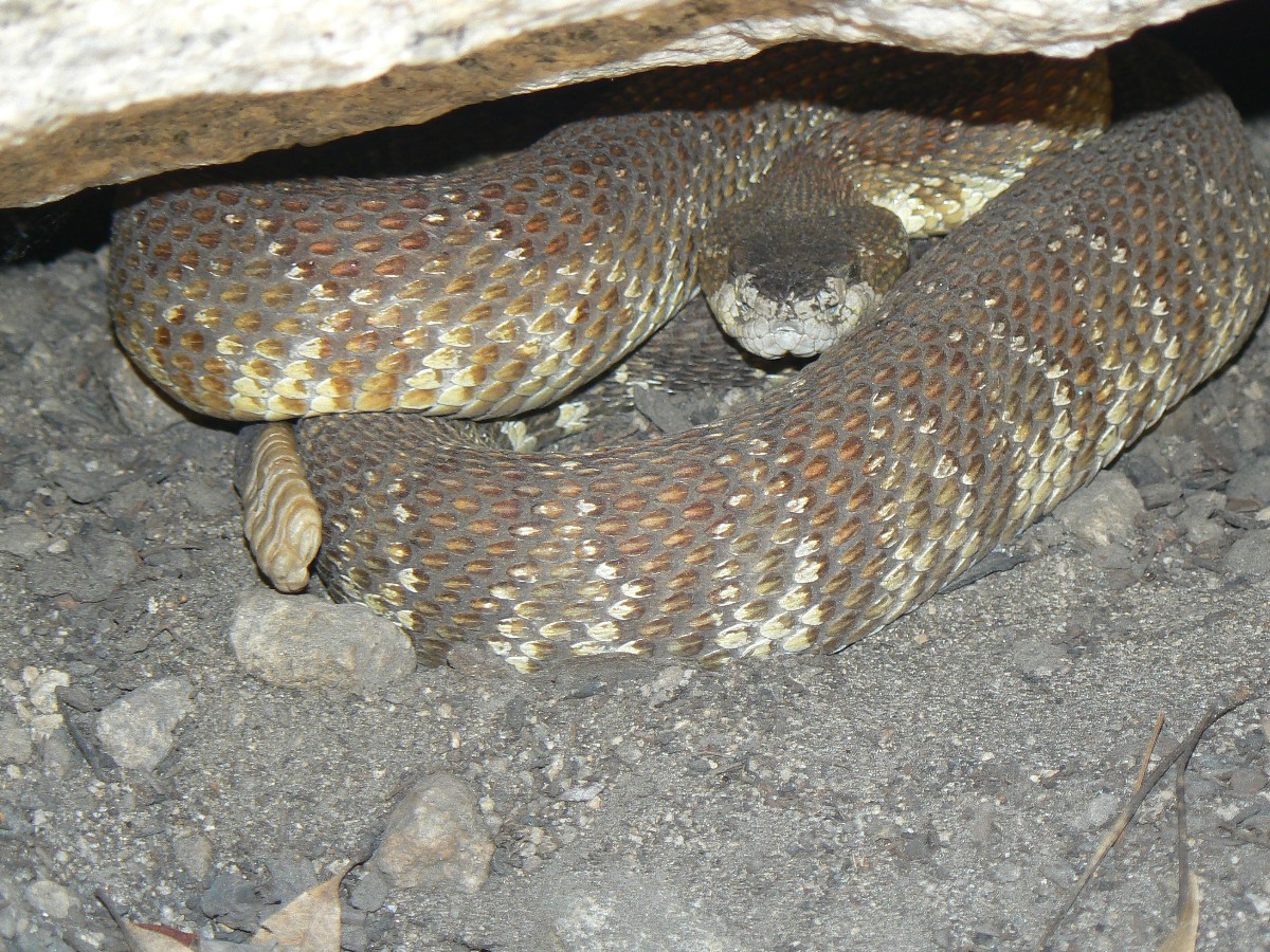
On the way back to Woods, I see a Blue Grouse while a rattler is seen on the way
down. It’s a very late to bed at 10:40 to a bright full moon. Thanks to you, Dave and Steve!
JJ of the JMT - Day 22 Photos by Rob
|
|---|
Pano - Glen Pass from Rae Lakes - Day 22 720 kb
(Image is very wide - scroll to view it (3879 x 800; 720 kb) - Click
the image for the full-size image)
|
|---|
|
Day 22: A Rae of Hope:
To Upper Rae Lake @ 10,550’. JMT mile 173 (45 to go); 6.4 mile day; ERM = 15.5.
The three lovely skinny dipper women whoop and chortle as they brave Dollar Lake.
We’re too late to be invited to the pool party, so we admire the scenery, including Fin Dome, and continue into the
Rae Lakes basin, pausing at a very pathetic looking Rae Lakes RS – yet with a stellar scenic outhouse.
It’s a relatively short day as we set up to go over Glen Pass (11,978’) tomorrow.
Besides, after the Cashorama, we’re again hauling full packs at the start of this, the last JMT section (for us),
Section 4.
Now in late afternoon, I’m in my Rock Squirrel damaged Henry Shires and actually
getting some brief rest, except my twitching muscles prevent real rest, there is a natural quiet-busting female a
few erratics over, and the gathering clouds have brought swatches of smoke from the fires near Cedar Grove and perhaps
others too.
JJ of the JMT - Day 23 Photos by Rob
Day 23: This Bubbs for You:
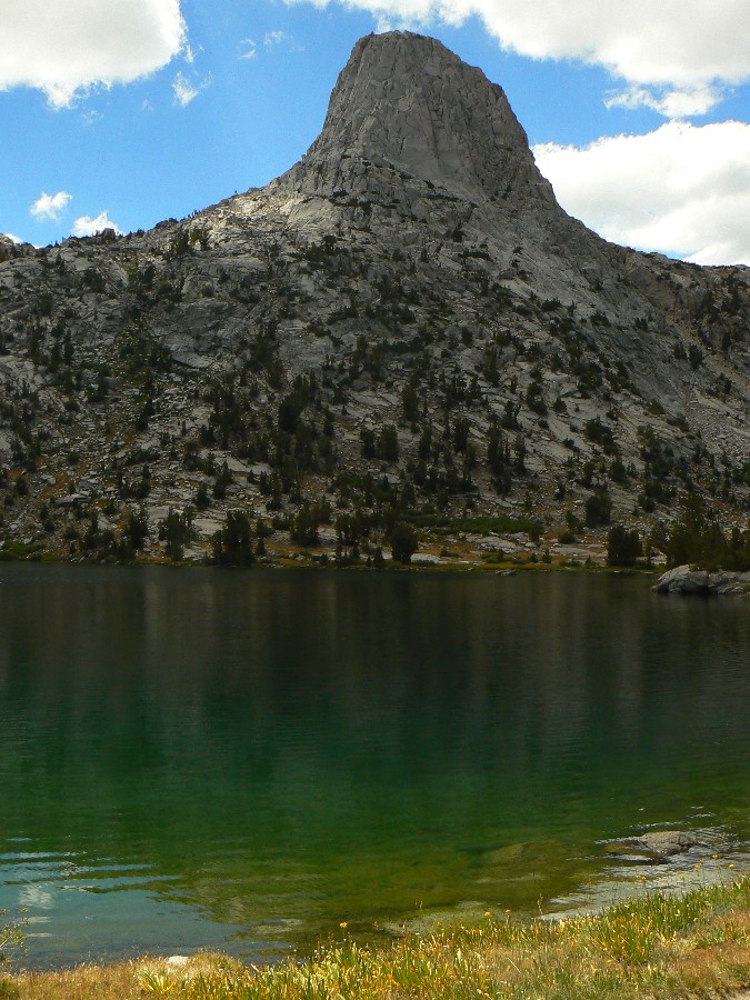
Over Glen Pass and to near Golden Bear Lake Outlet @ 10,500’. JMT mile 182.5 (35 to go); 9.5 mile day; ERM = 19.
The clouds are already rallying as we huff toward Glen Pass (11,978’). It’s
not too difficult because we had staged ourselves fairly high in the Rea Lakes basin yesterday. I stop to watch
for boulders with legs, Bighorn Sheep. None to see – well, I do see lots of boulders, just none with legs. At
the pass, I see cloud towers grow as apparently moist air hits the high Sierra, the clear blue (well, except for
the smoke from fires and what else, overpopulation) bubbles into clouds and into tall clouds nearly overhead. With
threatening weather and cold wind, I shoot a quick panorama looking N and head down. Dave and I put up the light
tarp once, but no real rain develops.
Down, down to the Kearsarge Pass junction with its puzzling five-way spread of trails
spidering out from a central gravel opening, then down to Bubbs Creek, which today feels low.
Then, up alongside Bubbs, attempting to get in a better position to go over
the massive Forester Pass at 13,180’. Because the Book of Wenk tells us there are few trees above the “center
crossing,” we stay here, looking up at nearly 3,000’ more climbing in the morning. And, the temperature has
dropped dramatically, as I’m cooking alpine spaghetti with three layers of clothing and a down jacket on the
top and two layers on the bottom, a wool hat and wanting a few more layers.
Notes – we started the day with condensation and dew engulphing the tents. I met
Doug and Mary – who were out day hiking from their Kearsarge camp, and realized that K and I had met them on our
Sawtooth Figure-8 last Summer. Amazing. The smoke rolls up the valley below and the cold air settles on us.
here is a link to the Phantasmagorical Figure-eight in the Sawtooth Wilderness
|
|---|
Pano - Looking South from Forester Pass - Day 24 692 kb
(Image is very wide - scroll to view it (2229 x 800; 692 kb) - Click
the image for the full-size image)
|
|---|
|
JJ of the JMT - Day 24 Photos by Rob
|
|---|
Pano - Looking South from Forester Pass #2, Dave on left - Day 24 744 kb
(Image is very wide - scroll to view it (2287 x 800; 744 kb) - Click
the image for the full-size image)
|
|---|
|
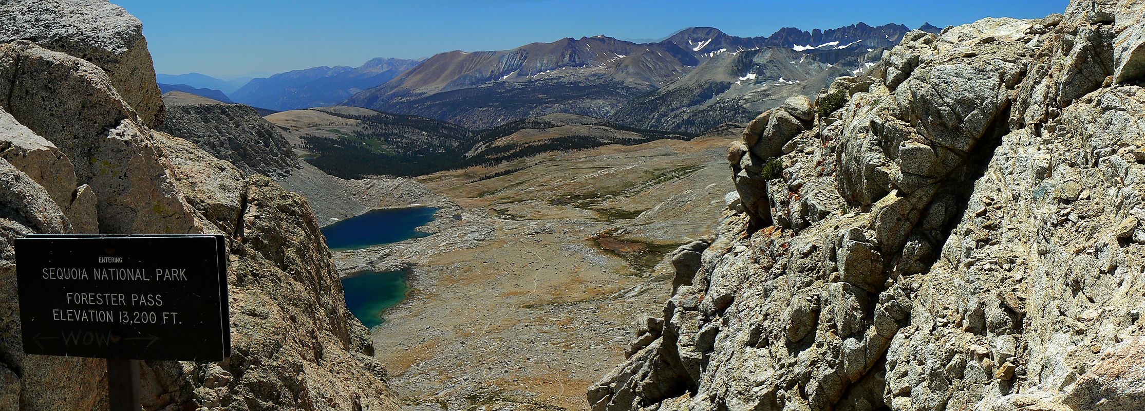
Day 24: Forester Furlong:
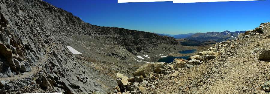
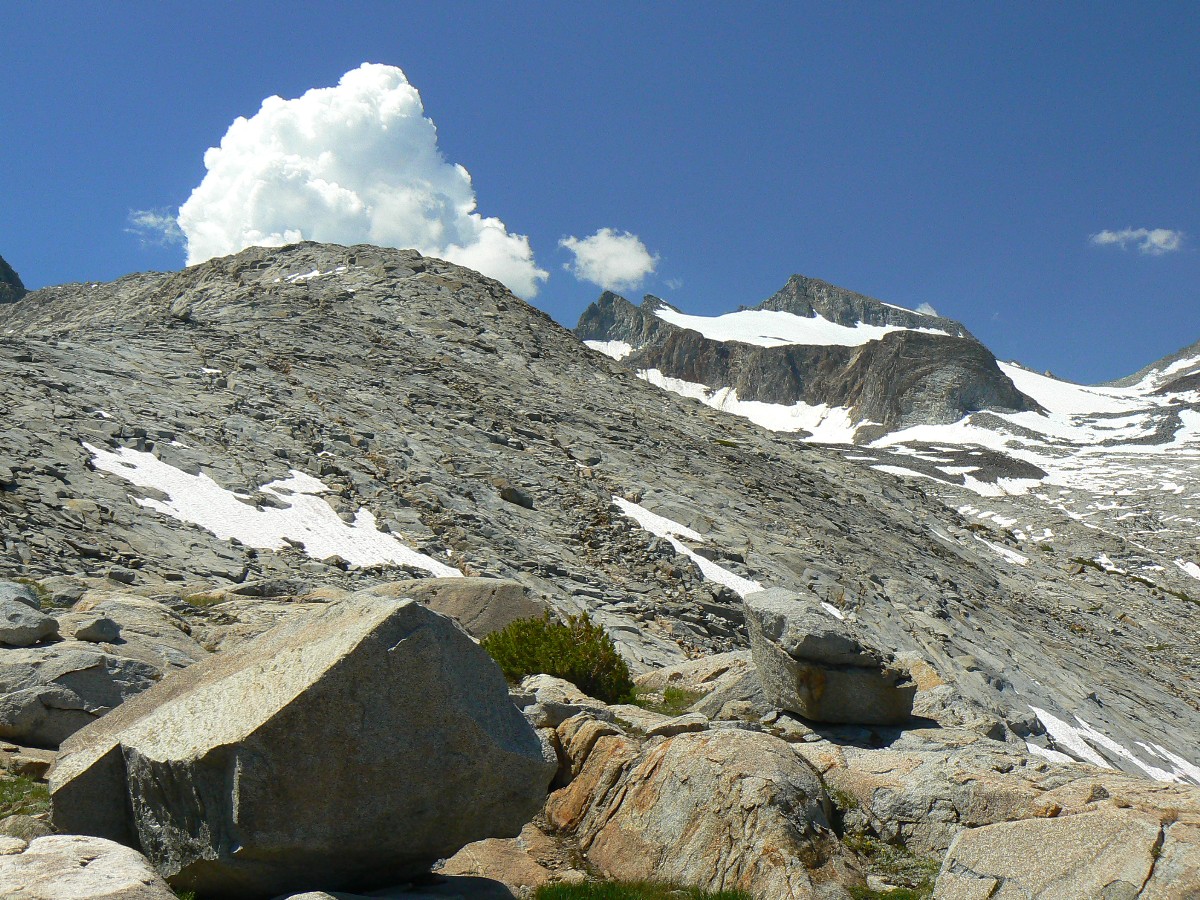
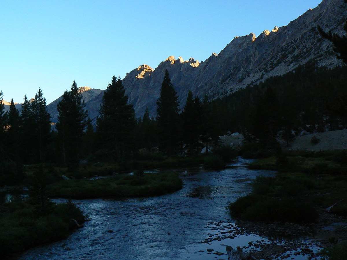
Over Forester Pass at 13,180’ and to Tyndall Frog Ponds @ 11,200’. JMT mile @ 192 (26 to go); 9.5 mile day; ERM = 19.5.
The thick lustrous fur ripples in the wind on the pot-ready baking marmot as he
rustles delicate forbs (a pre-seasoned fat boy marmot) on the roving switchbacks to Forester Pass. Dave and I are
on our way to the rare air a bit over 13,000’, a pass higher than many (most?) state’s high points. It’s an excellent
trail into the land of the Sky Pilot and other high alpine delights – far above timberline. Exposed. I’m moving
along slowly and achieve the pass after about three hours of climbing, to meet a wind funnel. Rest. Gawk. Then
down a trail not recommended for those with a fear of heights or edges. The switchbacks are blasted into a rock face.
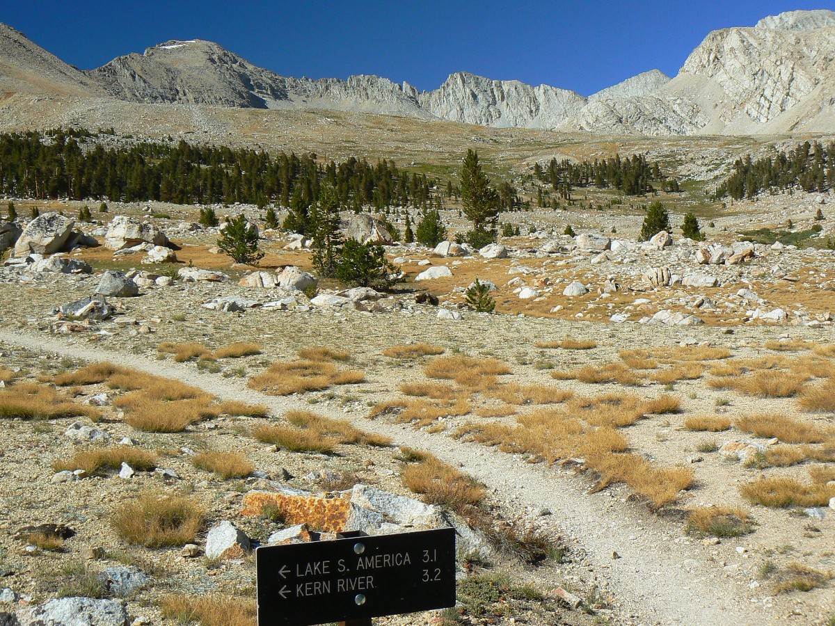
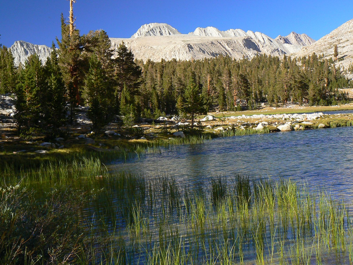
Then, another three miles of arctic tundra walking until finally entering tree line near the Lake South America
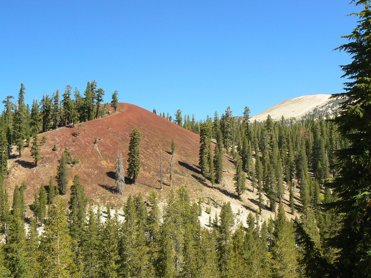
junction. My toes are cold (in sandals and wool socks) as the last light fades from Diamond Mesa and the Tyndall
Frog Ponds.
JJ of the JMT - Day 25 Photos by Rob

|
|---|
Pano - Bighorn Plateau - Day 25 2.6 mb
(Image is very, very wide - scroll to view it (9716 x 800; 2.6 mb) - Click
the image for the full-size image)
|
|---|
|
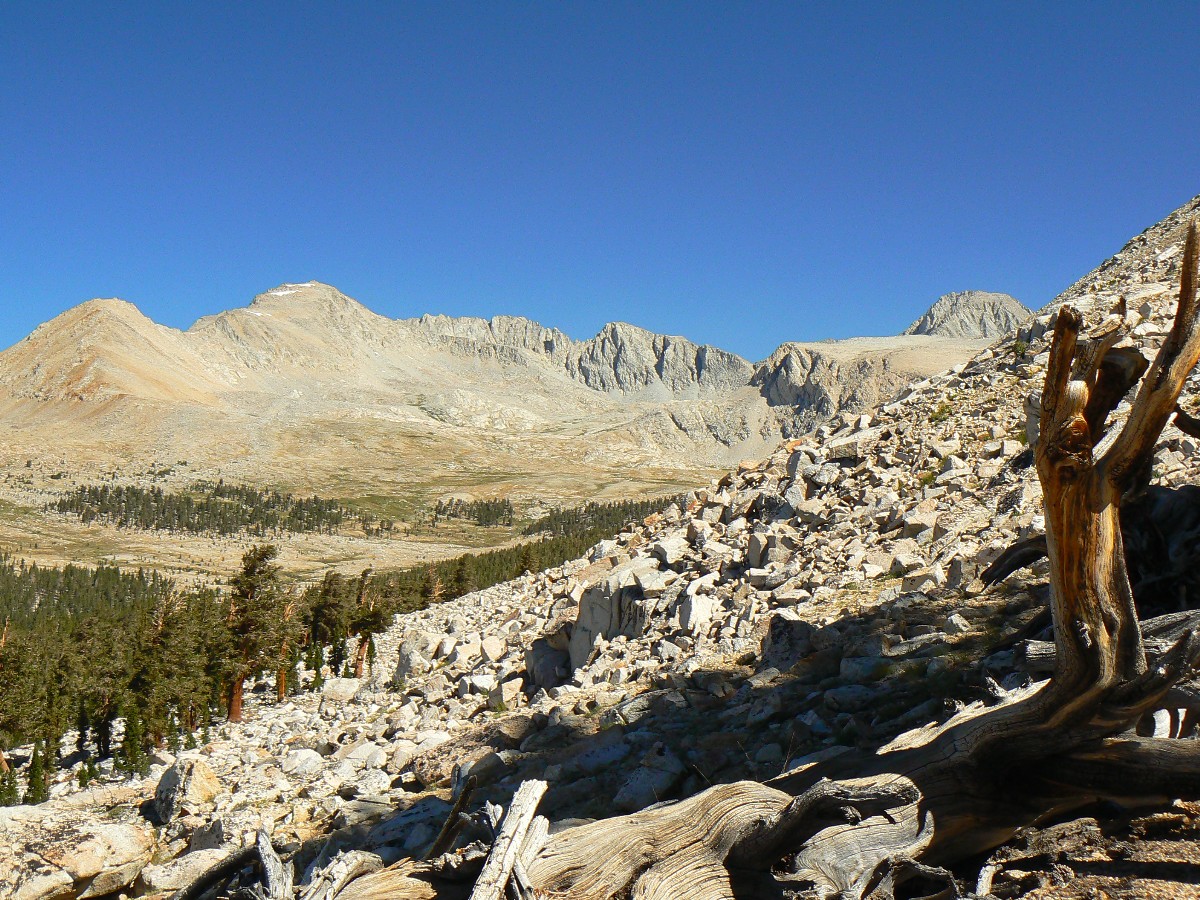
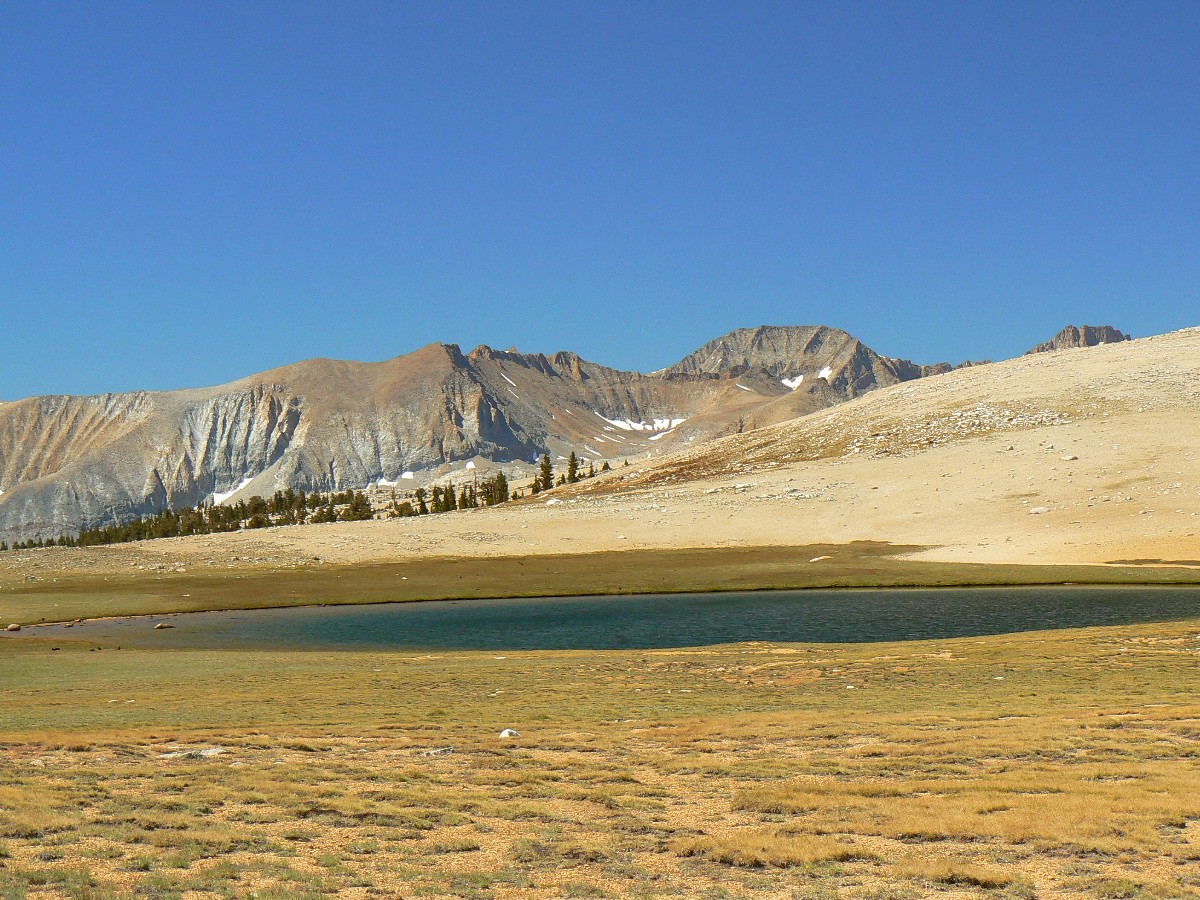
Day 25: Chilly Crabtree:
To Crabtree RS area @ 10,600’. JMT mile 200.7 (17.8 to go); 7.3 mile day; ERM = 14.5.
Burrr, beyond chilly burr. I’m wearing everything I have: light underwear, hike pants,
rain pants, boots with wool socks, 3 layers of light capilene on top plus a down jacket, and anorak and a wool hat,
mitten shells when dexterity is not absolutely needed. The angst of the lenticular clouds has pounced. Dave and I
opt for the alpine spaghetti meal because it has olive oil and parmesan cheese for longer burn time, and because we may
have less cooking time the last two nights of the JJ.
We awake to dry tents yet frost on the meadow at the scenic Tyndall Frog Ponds. Camped
at the edge of Foxtail Pines, the sun found a cleavage in the mountain and we warmed OK. During the first rays of sun,
we see a halo of snow flurries high and near the ridge, yet none reach us. It is never really warm today – one of the
first days on the JJ that I have not worn shorts for much of the day. We hike over the Bighorn Plateau, an austere
place where never a sheep would roam. In and out of drainages, Wright and Wallace, where we intersect the High Sierra
Trail, headed for Kern Hot Spring, a HS I could use now to defrost my toes. Glimpses of Whitney are seen through the
sparse forest, while the view to the West reveals the angst of lenticulars, signaling a front change.
We depart from the PCT as we approach Crabtree, and whisper goodbye to this epic trail.
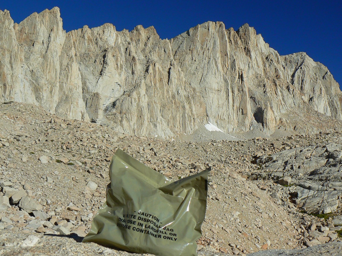
Dave and I pause at the scenic box of wag bags (for toilet use while in the Whitney Zone) and contemplate continuing
to Guitar Lake to attempt to beat the worst of the front going over Whitney, yet we stay at Crabtree when we hear talk
from Ranger Rob of temperatures in the teens tonight and a possible snow shower tomorrow. Burr.
A visit to the RS and two scenic toilets helps warm the bones a bit. As I finish
these notes in my bag, inside the tarptent, with my toes curled around a hot water bottle – all seems well in the
Sierra.
JJ of the JMT - Day 26 Photos by Rob
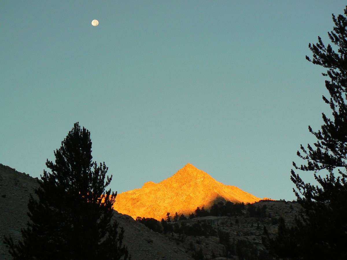
Day 26: Ice Age Glaciation:
To Guitar Lake @ 11,490’ JMT mile 203.4 (15.1 to go); 2.7 mile day; ERM = 4.7.
I breath out and tiny ice crystals fall back on my face. I put on glasses and they
immediately steam over. Sticking my head out the tent door clears glasses, making the situation more obvious – there’s
a thin coating of ice at the apex of the tent peak. Another of the all-night intermittent chills runs up my torso –
like cold wind rippling across the surface of the lakes below Pinchot Pass. It’s been a water bucket freezing night at
Chilly Crabtree.
The sun is direct and warms old bones while Dave and I cook a late breakfast and move
at glacial speed to move camp to Guitar Lake. The cold wind is with us all day. After relocating to Guitar, we nap
in lovely warm tents and watch huge cloud towers constantly building over the ring of Whitney mountains, then move East.
Later, back home, as the water in the bird bath freezes, I watch part of "The National
Parks" PBS series by Ken Burns. There is a section about how Muir describes his observations and conclusions that
glacial action is significant in the features seen in Yosemite to Whitney. Whitney, a so-called geologist, begins a
campaign to discredit Muir, and later, because of politics and money (can you say "republican;" can you say "re-writing
the history of ronny reagan or bushco?") had Mt. Whitney named for himsel and many nearby features named for relatives
and others who had never visited the area.
pano-jmt-day-27-mt-whitney-view1
|
|---|
Pano - View 1 from Mt. Whitney - Day 27 1.74 mb
(Image is very wide - scroll to view it (6921 x 800; 1.74 mb) - Click
the image for the full-size image)
|
|---|
|
|
|---|
Pano - View 2 from Mt. Whitney - Day 27 1.96 mb
(Image is very wide - scroll to view it (6741 x 800; 1.96 mb) - Click
the image for the full-size image)
|
|---|
|
JJ of the JMT - Day 27 Photos by Rob

|
|---|
Pano - View from near Trail Crest - Mt. Whitney - Day 27 748 kb
(Image is very wide - scroll to view it (2954 x 800; 748 kb) - Click
the image for the full-size image)
|
|---|
|
|
|
|---|
Movie from Mt. Whitney - Day 27 - 32 MB
(Click the image to see the short video - 32 MB)
|
|---|
|
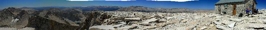
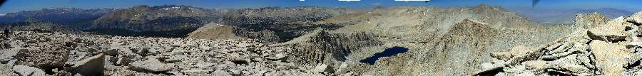
Day 27: The Rare 21% or Sky Pilot to Whitney:
To Mt. Whitney (14,495’) and Trail Camp @12,000’. JMT mile 212.6
(5.9 to Portal); 9.2 mile day; ERM = 21.8.
The Sky Pilot shudders in the cold wind at 13’000’ and near the junction of the trail
to Mt. Whitney/Trail Crest. These are the first Pilots with full flowers we’ve seen – unless you count the single
wind-bruised Pilot on Forester Pass. Just down the breathless trail to Whitney, I see another high altitude gorgeous
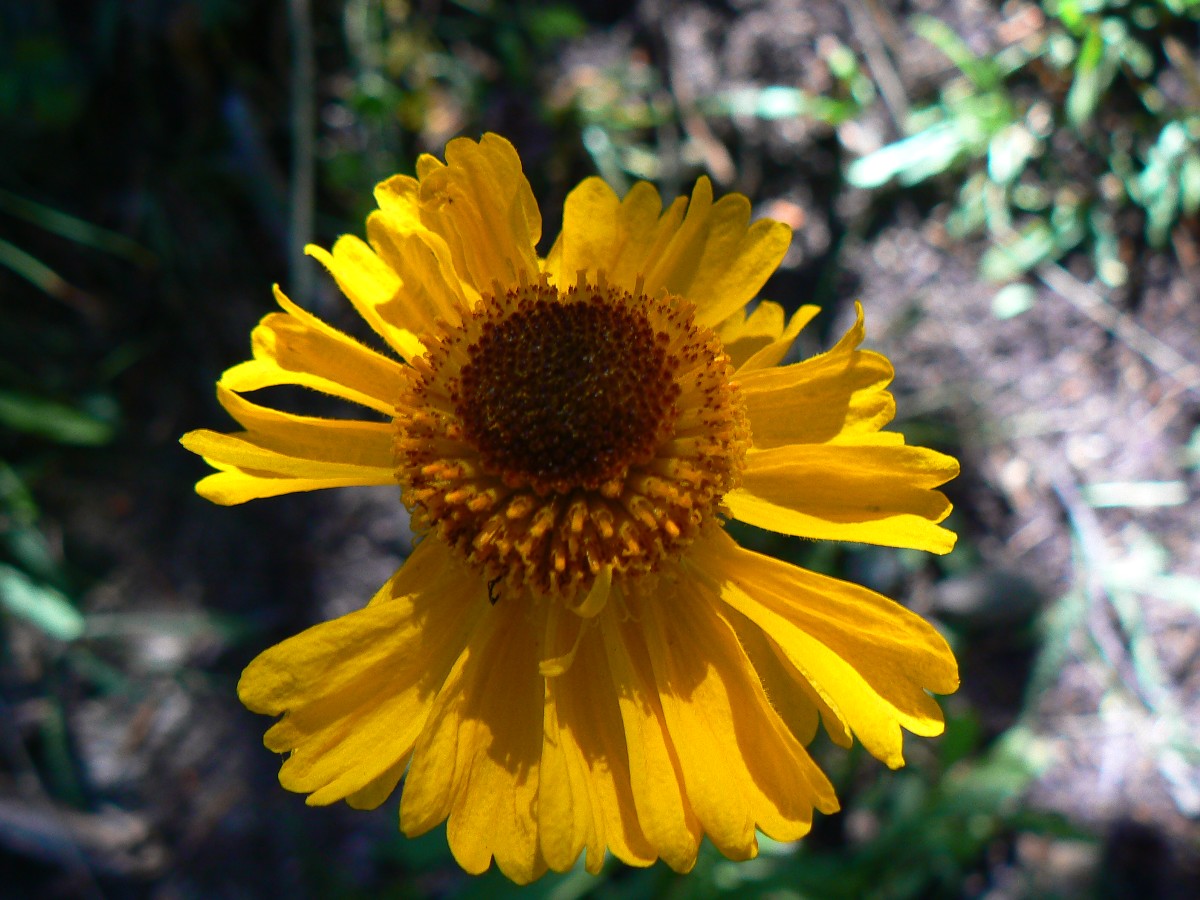
girl, Alpine Gold. The air, oxygen that is, is rare – yet supposedly the same density as at sea level, 21% oxygen.
My lungs attempt to locate this 21%.
On to Whitney, which of course should have been named for John Muir. Ego knows no
bounds. Finishing the lead-footed slog to the broad peak, I see Jim and Kristi and we enjoy a fond re-acquaintance.
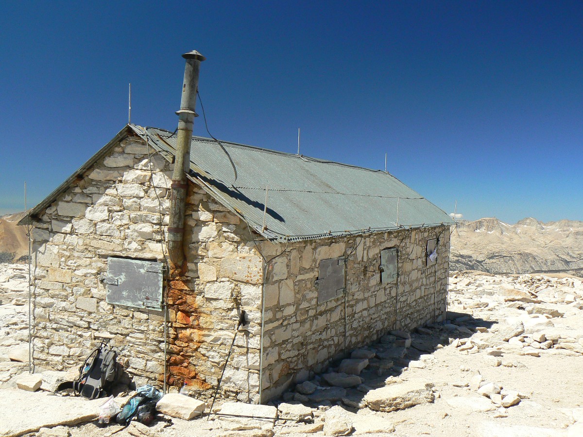
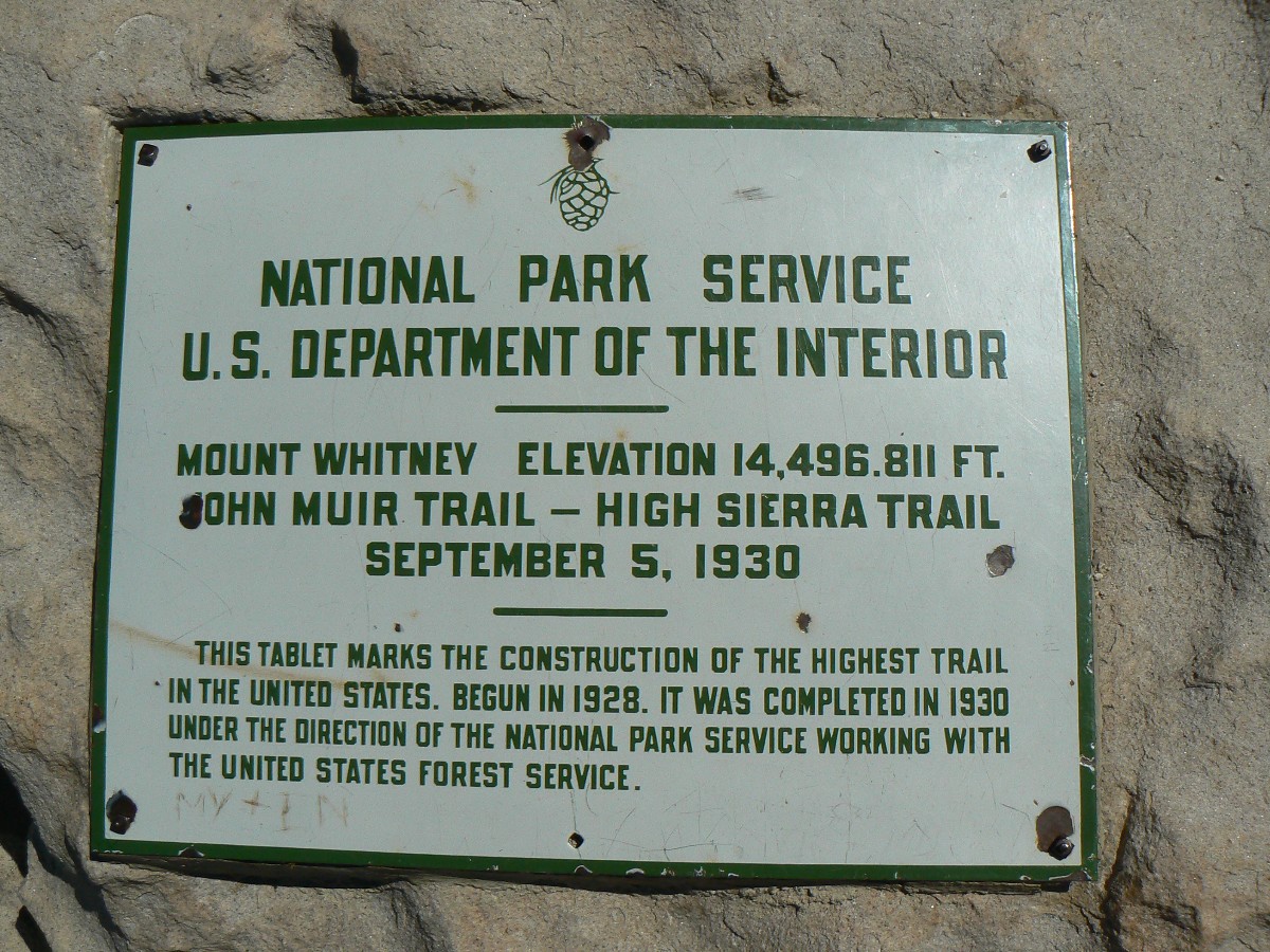
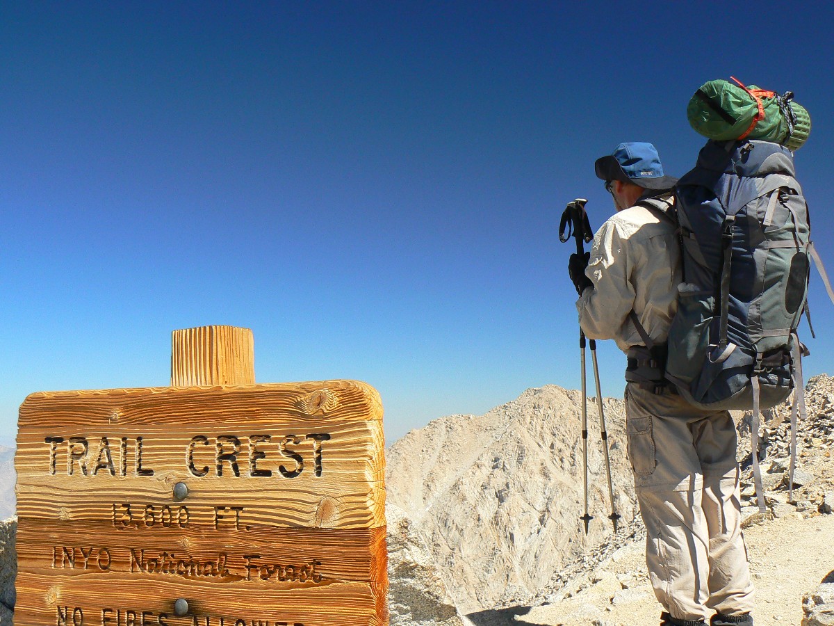
Mt. Whitney (14,495’) – high point of the lower U.S., end of the JMT! After a brief tour of the summit, Dave and I
head down and continue over Trail Crest, highest pass on the JMT at 13,650’, back into the John Muir Wilderness, and
onto the endless switchbacks to Trail Camp, where we stop for the night with probably a hundred of our closest
associates, and a mormon of Marmots. At the summit, we finished the JMT! yet like Mallory and Irvine, it doesn’t count
until you get out to the TH.
Now, as I write these notes hiding from the cold wind that froze my toes and now
flaps the tent, I wonder how come we didn’t slog and flog it to the lower Outpost Camp – which, on the map, looks
like it is in the trees, unlike this barren cirque of cold air.
A note about Whitney. Whitney, as was noted earlier in this report, was a
so-called geologist. Famously, he tried to discredit John Muir and his explanation about the role of glaciers in
forming the current Yosemite. Later, Whitney is infamous for doing the republican thing - he was paid off by wealthy
political elite to declare sloping ground "mountainous" so railroads could get $48,000 per mile of construction from
the federal government, not the lesser amount for sloping ground. Among the payment for this republican-style lie was
naming the big mountain Whitney instead of Muir (after all, we now have corporations voting, no transparency for
corporate money buying elections, and republicans working to derail social security, destroy health care reform, and
eliminate puny limits on banks and green-belters (money around a republican belt is a "green belt")).
republican outcomes
JJ of the JMT - Day 28 Photos by Rob
"Wilderness is not only a haven for native plants
and animals, but it is also a refuge from society. It's a place to go to hear the wind and little else, see the
stars and the galaxies, smell the pine trees, feel the cold water, touch the sky and the ground at the same time,
listen to coyotes, eat fresh snow, walk across the desert sands, and realize why it's good to go outside of the city
and the suburbs.".
- John Muir
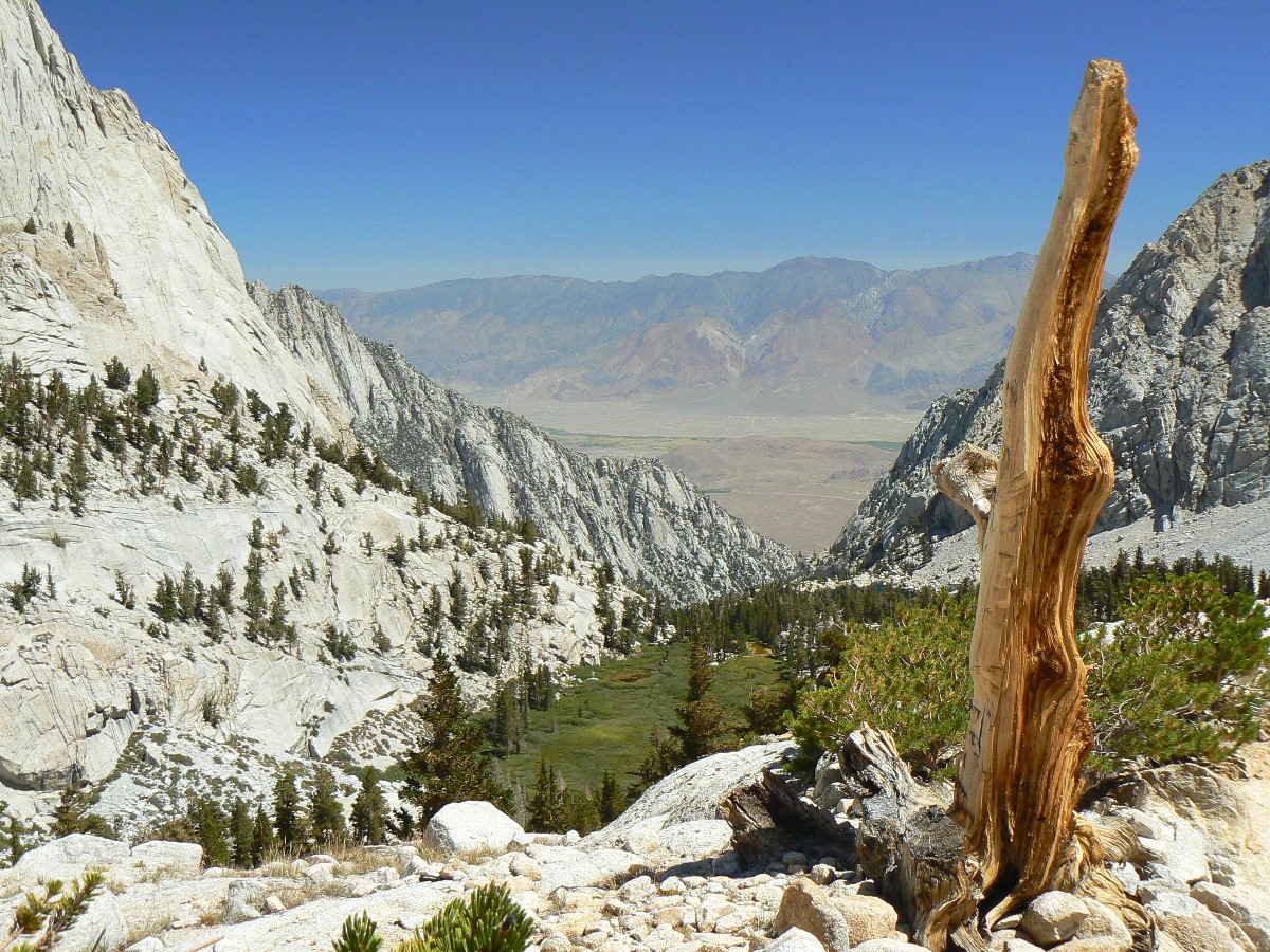
Day 28: Jaunty Juggernaut – or Noise Portal:
@ 8365’ to Whitney Portal and TH. JMT Mile 0; 5.9 mile day; ERM = 12.5.
The CHP copter clatters around the canyon for perhaps the 20th time, bullhorn bellowing
“David arganovithcok, lost hiker, check in at a checkpoint; this is the California Highway Patrol Search and Rescue,
check in now” over the echoing flood of unnatural noise. Noise over more noise, starting with the noise of apparently
oblivious Whitney day hikers, interrupting the natural quiet of this busy corridor, a mini-replica of CA, crowded,
polluted, with diminishing water and air quality and decreasing opportunities for connection with the natural world.
Trail Camp itself mimics the sprawl and difficult issues wrought by overpopulation. Help! religionists, I believe
the Truth, that via overpopulation you can create your self-fulfilling prophecy of the end of days. Maybe One, a
prophetic and more rational book by Bill McKibben, should be required reading by all couples, and adopted as doctrine
by all religions and cults. Of course, the first action would be to remove all economic rewards for breeding ourselves
into extinction, such as tax exemptions for more than one child and all religion-owned properties. Can economists
restore the subtraction keys to their computers? Will they? Is it past too late to match our overbreeding behavior
to sustainability? Will religionists continue their policies of breeding to dominance?
It’s a difficult re-entry to this so-called civilization, replete with the rot and
decay related to overpopulation and directly causing social and environmental problems. Yet, the stroll down is lovely,
between assaults upon natural quiet. Down, a long way down to Noise Portal, ending the Jaunty Juggernaut. Food!
Attempting to sleep in a bed. Negotiating public transportation. Argh.
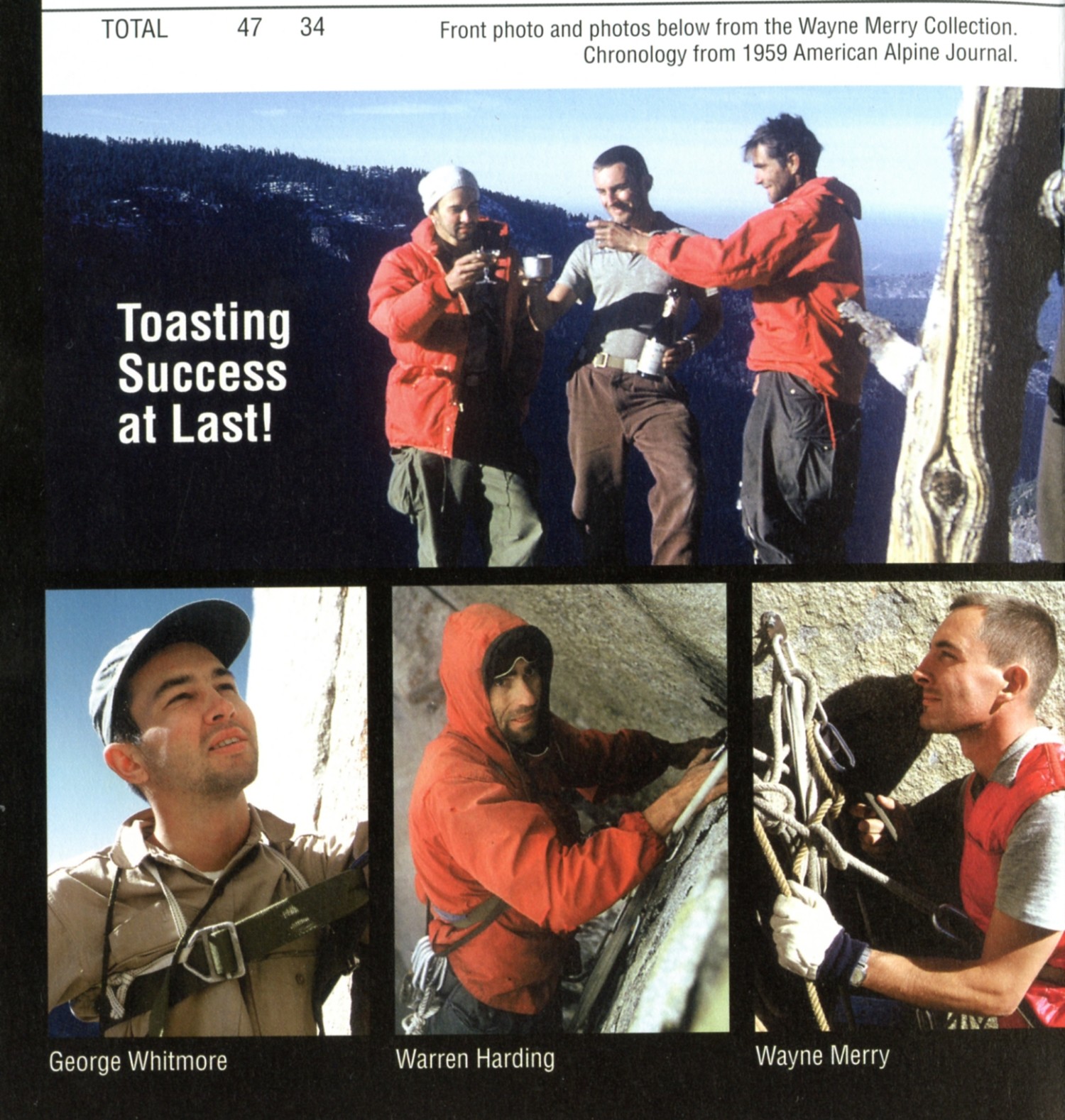
And, a special thanks to the iconic George Whitmore, friend and current defender of Yosemite,
for rescuing me from the clutches of public transportation miscues at the end of this delightful and deluxe journey. Of course,
final thanks are due Dave and Steve Cash for the Cashorama! resupply for Section 4.
And the memories, the experience of the JJ on the JMT. Amazing, and it’s still public
land, somewhat wild, at least for now.
(End of Section 4, and the end of the Jaunty Juggernaut – hiking the JMT.)
Total Trail Miles –> 218.5 JMT miles + 14 resupply, etc. = 232.5 total trail miles.
Total ERM = 427.2 (best estimate), nearly twice the trail miles.
"Climb the mountains and get their good
tidings. Nature's peace will flow into you as sunshine flows into trees. The winds will blow their own freshness
into you, and the storms their energy, while cares will drop away from you like the leaves of Autumn".
- John Muir
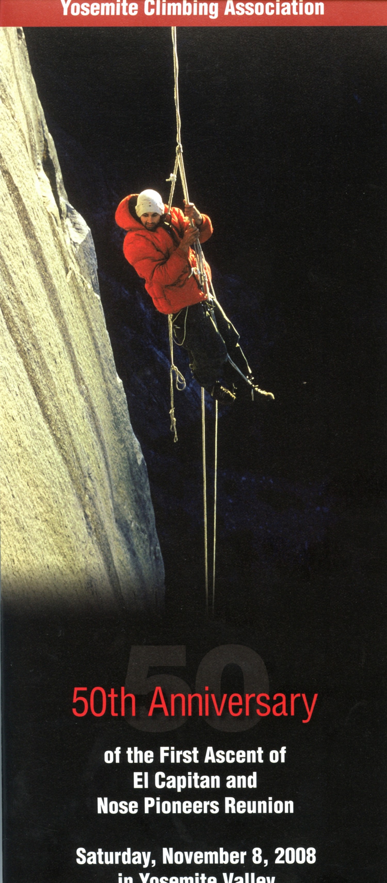
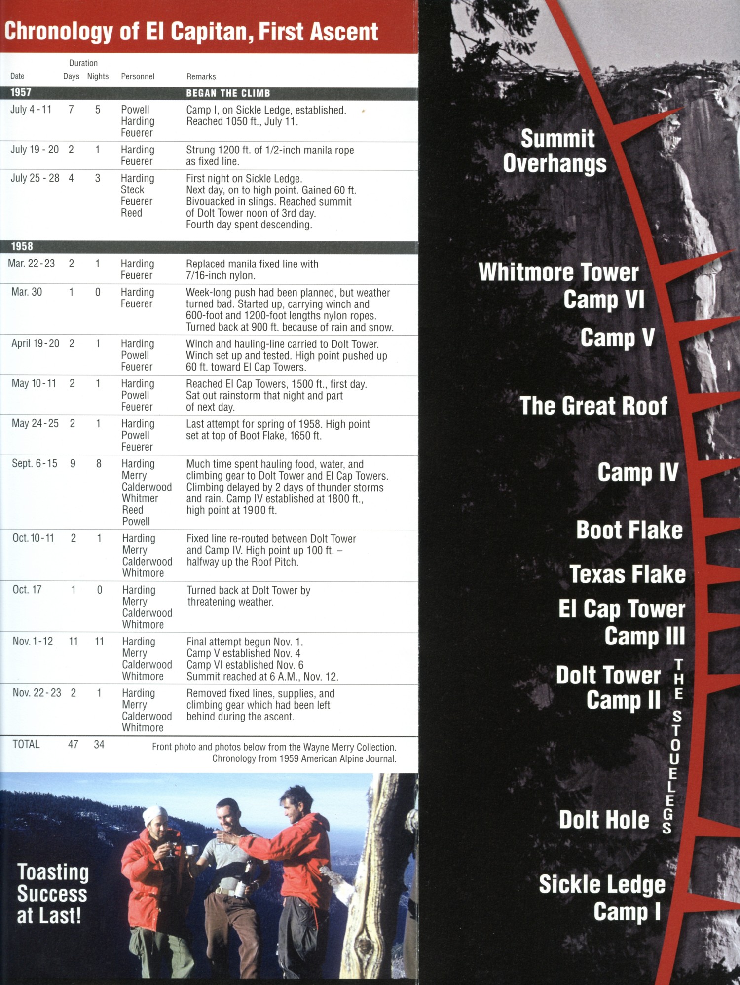
Now, a respectful look at the first ascent of El Capitan - yes, that's the George Whitmore mentioned above.
First Ascent of El Capitan: 50th Anniversary, followed by 1959 article
|
|
|---|
First ascent of El Capitan (Argosy article, 22mb)
(Click the 10 page pdf - 22 MB)
|
|---|
|

Links and books:
All WV PCT, JMT, Sierra hike reports:
Click here or on the PCT trail marker to go to all WV reports about The PCT, JMT, Sierra hikes
|
|---|
Looking for All Wilderness Vagabond trip reports about the PCT, JMT, Sierra hikes?
Click the image to go to All WV reports about The PCT, JMT, Sierra hikes
|
|---|
|
Click here to: see the First ascent of El Capitan, Argosy Magazine, 1959 (10 pages) 22 MB.
Marc Reisner (1993) Cadillac Desert: The American West and Its Disappearing Water,
Revised Edition, Penguin Books
Elizabeth Wenk & Kathy Morey (2007) John Muir Trail, 4ed, Wilderness Press
Data (GPS points, etc.) for/from above book: The Essential Guide to Hiking America's Most Famous Trail, by
Elizabeth Wenk with Kathy Morey
Bill McKibben – suggested books include: Maybe One, Eaarth, The End of Nature
Pacific Crest Trail – Plan your hike site
Half-mile site: Pacific Crest Trail Maps and GPS Information - a terrific resource
Bear Boxes in the Sierra Nevada
JMT map pack by Harrison Maps (commercial site)
Post Holer site - maps and resources for planning (PCT site)
Pacific Crest National Scenic Trail Website (FS, NPS, etc. site)
About the PCT - has info about equipment (semi-commercial site)
Maps:
Map - All JMT sections: Click here to go to (all sections) my GPS track
backpacking The Jaunty Juggernaut, the JMT. It
will appear as a Google map on a USGS topo background. Change the scale of the map (the "+")
to better see the route. Move around on the map with the 'hand.'
Click here to enjoy a full-screen view. Enjoy
Map - JMT Section 1: Click here to go to (Section 1) GPS track
backpacking The Jaunty Juggernaut, the JMT. It
will appear as a Google map on a USGS topo background. Change the scale of the map (the "+")
to better see the route. Move around on the map with the 'hand.'
Click here to enjoy a full-screen view. Enjoy
Map - JMT Section 2: Click here to go to (Section 2) GPS track
backpacking The Jaunty Juggernaut, the JMT. It
will appear as a Google map on a USGS topo background. Change the scale of the map (the "+")
to better see the route. Move around on the map with the 'hand.'
Click here to enjoy a full-screen view. Enjoy
Map - JMT Section 3: Click here to go to (Section 3) GPS track
backpacking The Jaunty Juggernaut, the JMT. It
will appear as a Google map on a USGS topo background. Change the scale of the map (the "+")
to better see the route. Move around on the map with the 'hand.'
Click here to enjoy a full-screen view. Enjoy
Map - JMT Section 4: Click here to go to (Section 4) GPS track
backpacking The Jaunty Juggernaut, the JMT. It
will appear as a Google map on a USGS topo background. Change the scale of the map (the "+")
to better see the route. Move around on the map with the 'hand.'
Click here to enjoy a full-screen view. Enjoy
WV Movies:
Click here to: see a Movie of Nevada Falls - Day 1 - 14 MB.
Click here to: see a Movie of a Tuolumne Cascade - Day 4 - 6 MB.
Movie of sluicing Bear Creek - Day 12 - 5 MB.
Movie of mighty Evolution Creek #1 - Day 15 - 23 MB.
Movie of mighty Evolution Creek #2 - Day 15 - 20 MB.
Movie of Dave on the Golden Gate of the Sierra - Day 20, 6.4 mb.
Click here to: see a Movie from Mt. Whitney - Day 27 - 32 MB.
Other Movies:
Click here to: see a movie about Yosemite Glaciers (what's left of them).
movie about Yosemite Big Trees (again, what's left of them).
movie about Yosemite Wildflowers.
Panos:
Click here to: see a Panorama of Long Meadow, Day 2
Panorama of Cathedral Group, Day 2
Pano of Ritter Range from Donohue Pass - Day 5 430kb
Pano from Silver Pass - Day 10 2.3mb
Pano of Evolution Lake #2 - Day 15 650kb
Pano of morning at Evolution Lake - Day 16 412kb
Pano - approaching Muir Pass (Muir Hut on left low in pass) 180 degree pano - Day 16 1.7mb
Pano - Dave hiking down Le Conte Canyon, along MF Kings River - Day 17 921kb
Pano - Sunset near Palisade Lake - Day 17 404kb
Pano - looking South into Upper Basin from Mather Pass - Day 18 632kb
Pano - circular (360 degree) panorama from Upper Basin, with Mather Pass on left - Day 18 2.1mb
Pano - looking North from Pinchot Pass - Day 19 832kb
Pano - looking South from Pinchot Pass - Day 19 844kb
Pano - Castle Domes - Day 21 765 kb
Pano - Glen Pass from Rae Lakes - Day 22 720 kb
Pano - Looking South from Forester Pass - Day 24 692 kb
Pano - Looking South from Forester Pass #2, Dave on left - Day 24 744 kb
Pano - Bighorn Plateau - Day 25 2.6 mb
Pano - View 1 from Mt. Whitney - Day 27 1.74 mb
Pano - View 2 from Mt. Whitney - Day 27 1.96 mb
Pano - View from near Trail Crest - Mt. Whitney - Day 27 748 kb
Related Sites:
Click here to see The Archman's site on
Utah and area arches.
Has Conservatism Lost Its Soul?
The Tea Party passions are the rancid emissions of class-based greed disguised with flags and Christian symbols.
Phantasmagorical Figure-eight in the Sawtooth Wilderness
The Jig Is Up: Supplies of oil and gas are running out
We Are Breeding Ourselves to Extinction (click here for full article)
or at:
Breeding ourselves to extinction?
All measures to thwart the degradation and destruction of our ecosystem will be useless
if we do not cut population growth. By 2050, if we continue to reproduce at the current
rate, the planet will have between 8 billion and 10 billion people, according to a recent
U.N. forecast. This is a 50 percent increase. And yet government-commissioned reviews,
such as the Stern report in Britain, do not mention the word population. Books and
documentaries that deal with the climate crisis, including Al Gore’s “An Inconvenient
Truth,” fail to discuss the danger of population growth. This omission is odd, given
that a doubling in population, even if we cut back on the use of fossil fuels, shut
down all our coal-burning power plants and build seas of wind turbines, will plunge
us into an age of extinction and desolation unseen since the end of the Mesozoic era,
65 million years ago, when the dinosaurs disappeared.
We are experiencing an accelerated obliteration of the planet’s life-forms—an estimated
8,760 species die off per year—because, simply put, there are too many people. Most of
these extinctions are the direct result of the expanding need for energy, housing, food
and other resources. The Yangtze River dolphin, Atlantic gray whale, West African black
rhino, Merriam’s elk, California grizzly bear, silver trout, blue pike and dusky seaside
sparrow are all victims of human overpopulation. Population growth, as E.O. Wilson says,
is “the monster on the land.” Species are vanishing at a rate of a hundred to a thousand
times faster than they did before the arrival of humans. If the current rate of extinction
continues, Homo sapiens will be one of the few life-forms left on the planet, its members
scrambling violently among themselves for water, food, fossil fuels and perhaps air until
they too disappear. Humanity, Wilson says, is leaving the Cenozoic, the age of mammals, and
entering the Eremozoic—the era of solitude. As long as the Earth is viewed as the personal
property of the human race, a belief embraced by everyone from born-again Christians to
Marxists to free-market economists, we are destined to soon inhabit a biological wasteland.
Click here for -- A note about tin-can tourists.
Click here for -- Social responsibility and the a (or a the) church.
Click here for -- buschco tells all about Iraq, a war of choice and religious values.
Click here for -- A report about the climate bill (not!).
Click here for -- American energy sacrifices.
Click here for -- patience of the average American
Click here for -- fossil fools.
Trickle down economics.
Corporations get to vote for you.
Our shrinking habitat.

|
|---|
Repulsican ideas for human (and other) population control
(Click the image for the full-size image)
|
|---|
|

|
|---|
A final note from bushco
(Click the image for the full-size image)
|
|---|
|


