|
|---|
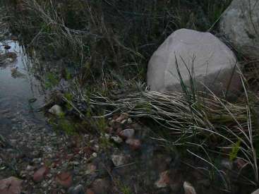
movie 2 sounds of Natural Quiet - The River
(Click the image to listen - 6mb)
|
|---|

|
|---|
movie 3 Natural Quiet - destroyed by air tour terrorists
(Click the image to listen - 6mb)
|
|---|
|
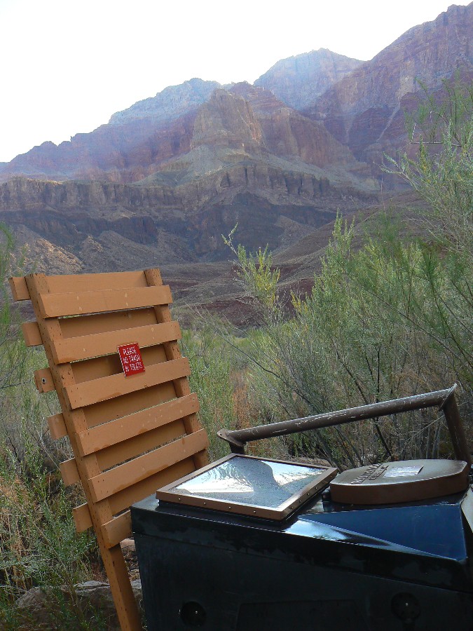
Total trip miles hiked = 51.6, ERM = 103.1.
ERM = Energy Required Miles. A mile is added for every 500' elevation gain or loss.
It's a very serviceable method of estimating energy required miles.


|
|---|
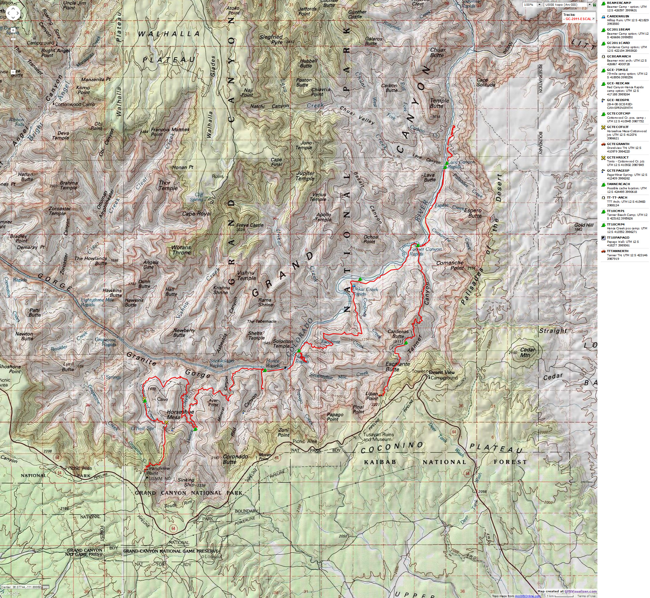
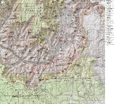
Map - GC: Tanner - Beamer - Esacalante - Tonto - Grandview; 2011; 52 miles
(Click the image to see the map)
|
|---|
|
 Click here to go to our Google planning map of this trip. Click here to go to our Google planning map of this trip.
Click here to see Alum Water
treatment for GC hikers (pdf by John Ladd)
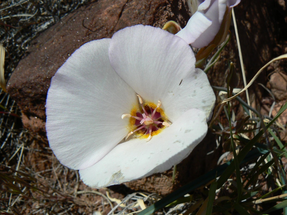
Evocative Escalante Photos - Day 1
(There are - More photos below the trip narrative.)
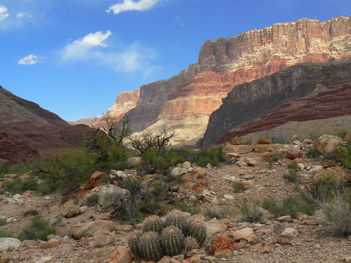
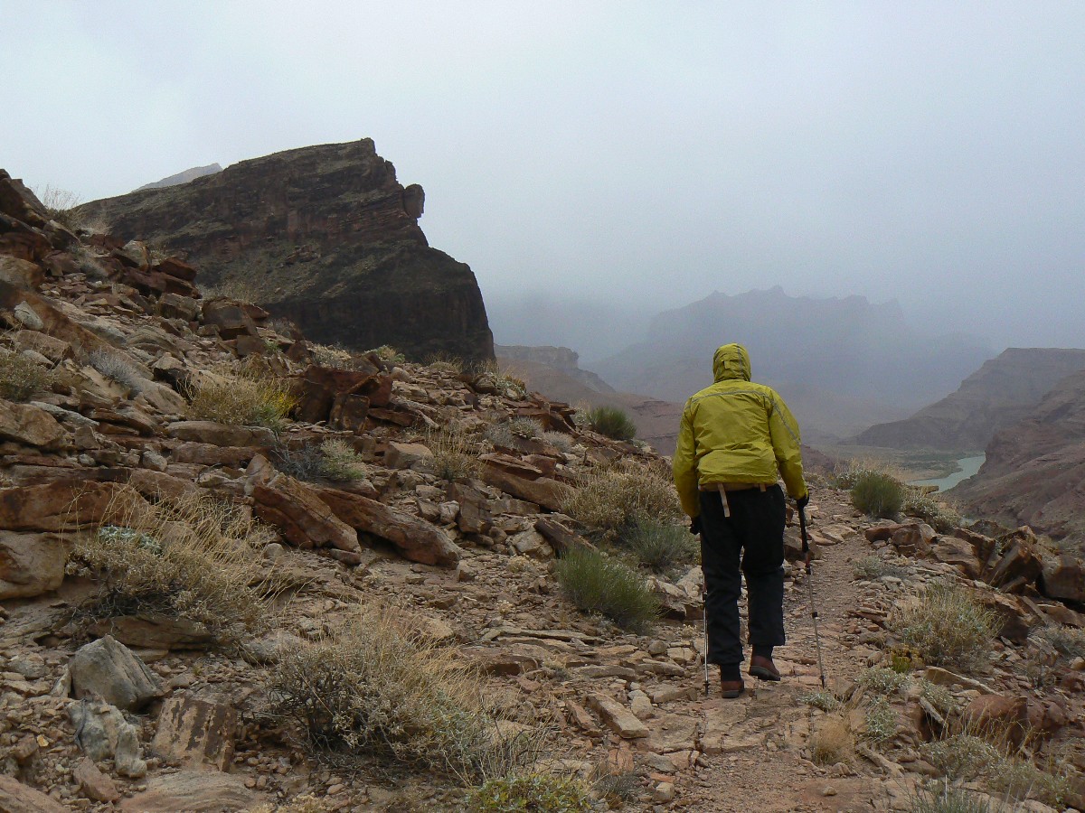
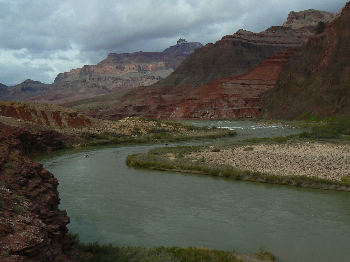
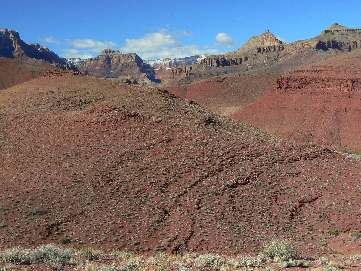
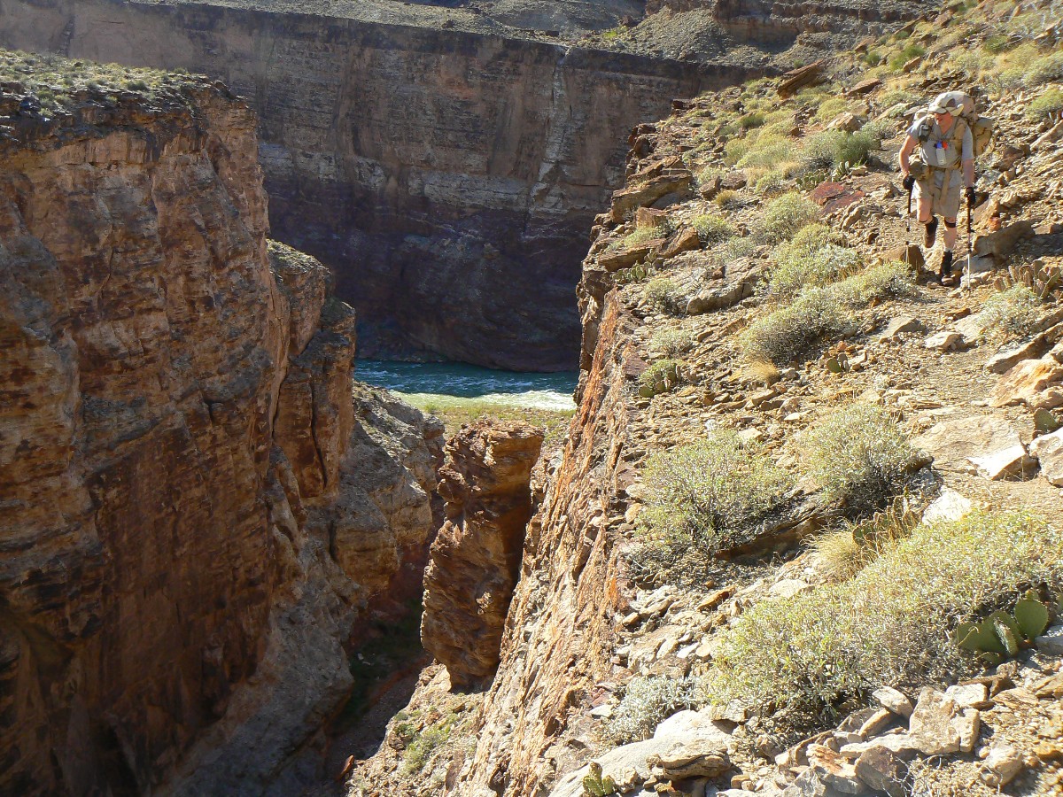
Day 1: Tanner Trudge - To Tanner Beach.
8.3 miles; elevation gained 881'; elevation lost 5000'; ERM = 19.5.
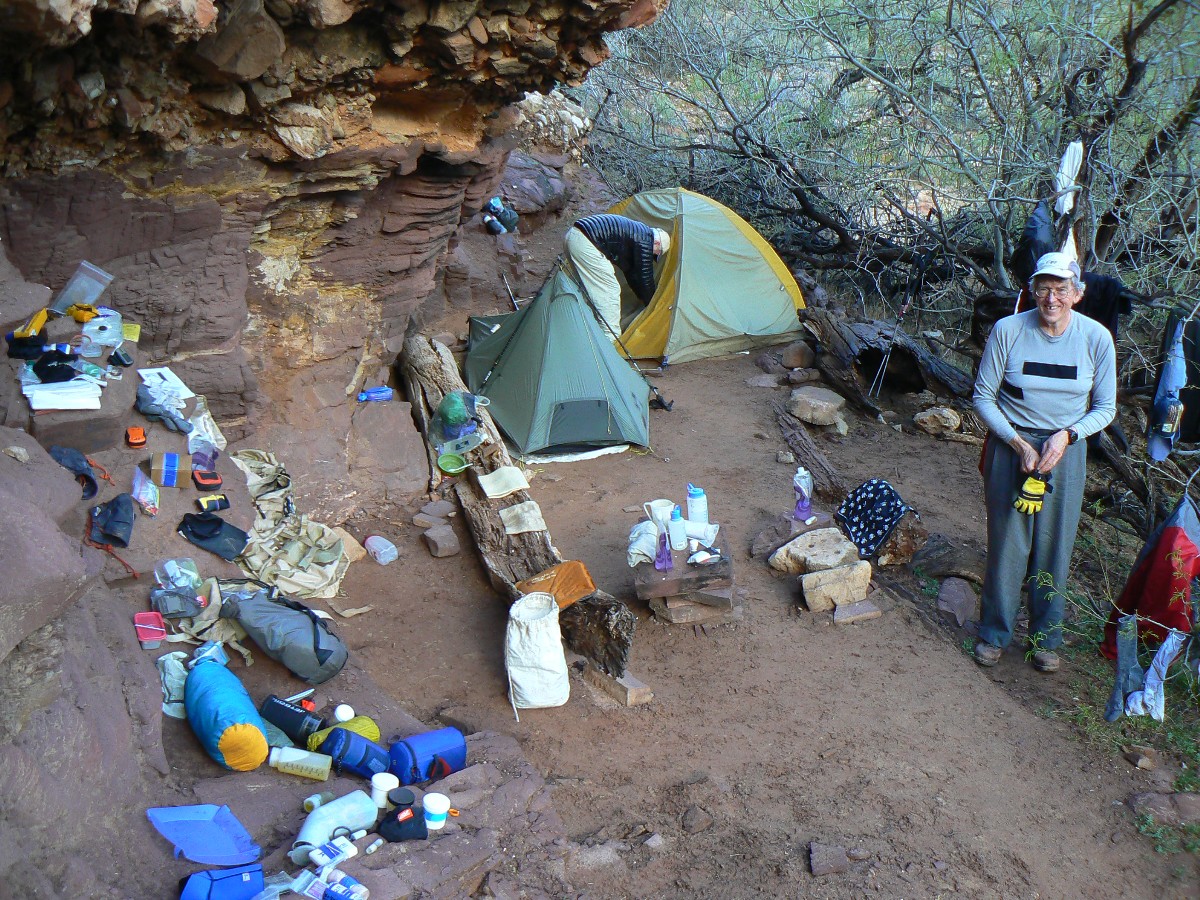
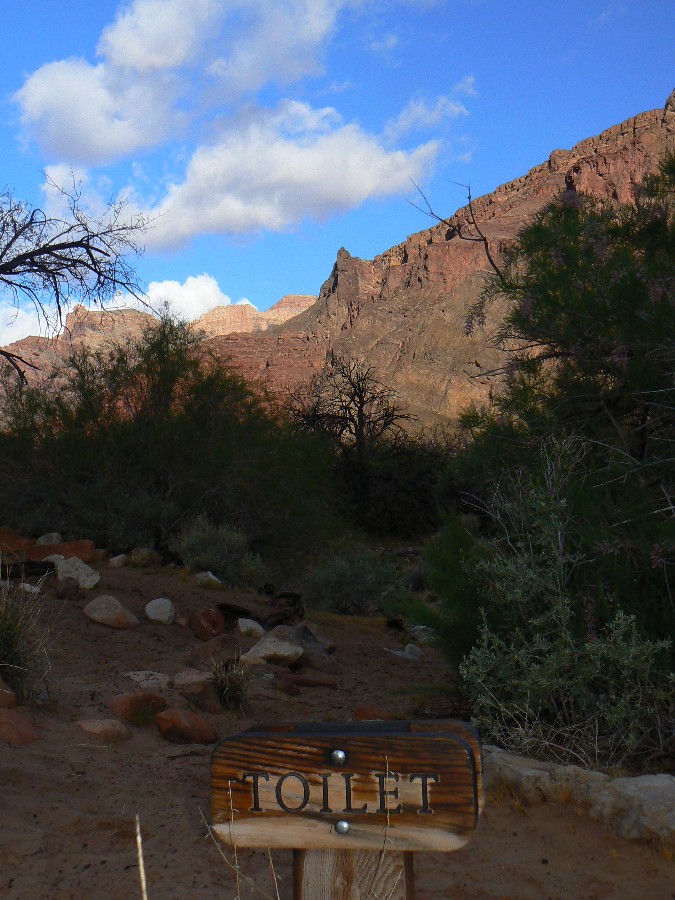
I'm squatting impatiently in the drizzle and dark at the Tanner Scenic Toilet.
Not so scenic in the gathering gloom and swirling rain drops. Argh.
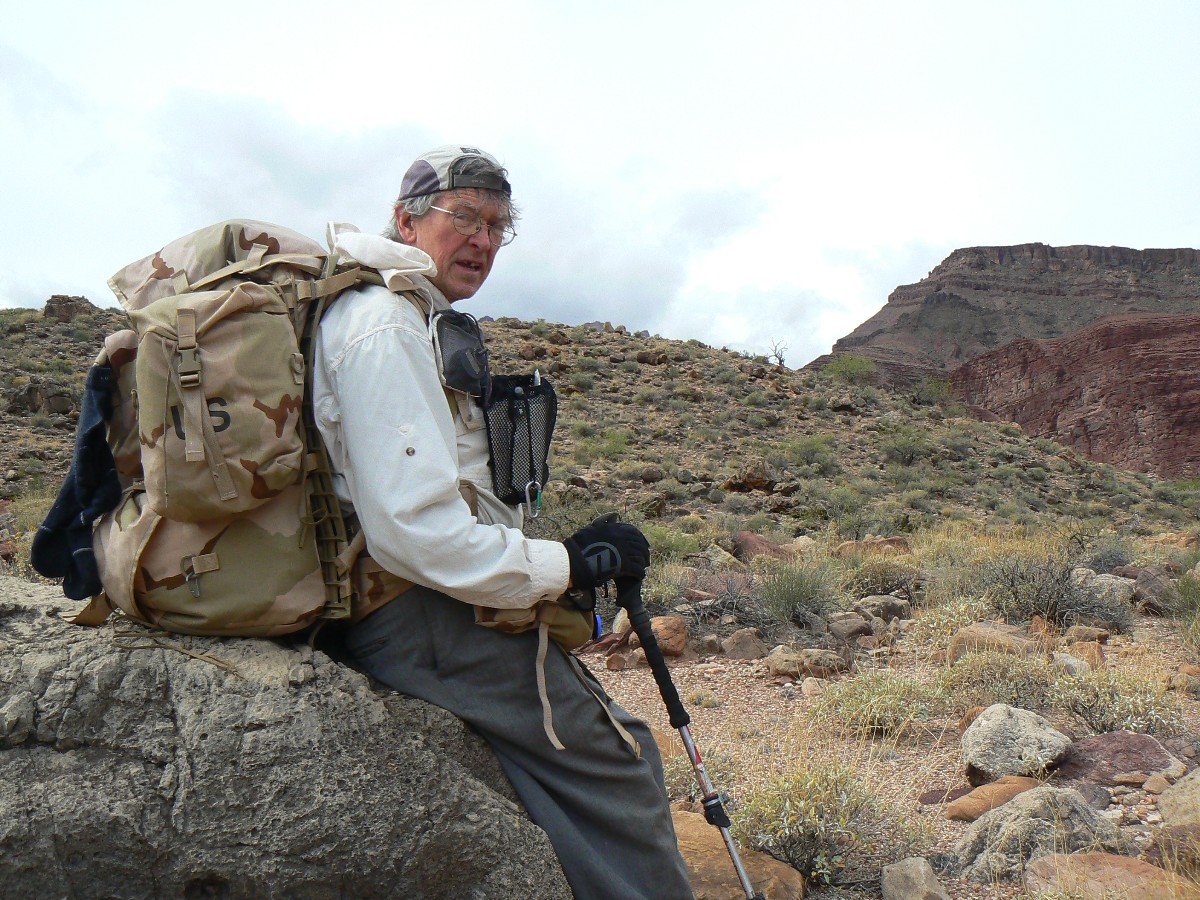
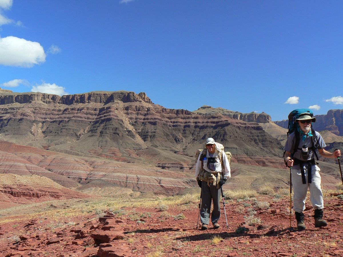
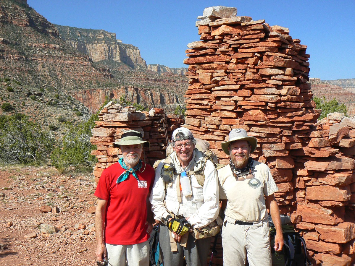
It's been a long day dropping big elevation on the Tanner Trail. We, John Ladd,
Zig Sondelski, and I, had rendezvoused for an excellent Kathleen dinner and sorted equipment too late in last evening.
A bit tired today because we are up early and driving to Grandview TH and then to Lipan/Tanner TH and off into the
great abyss of the Grand Canyon. Yahoo.
Drizzle continues on half my TarpTent as I jot these notes by headlamp - Tanner
Rapids competing with the occasional wind gust for aural supremacy. Only half the tent because Zig and I have tents
partially under an overhang, while John is camping out exposed to the full sky.
No snow on the trail today - quite a change from last year at the start of the TTT
( Transcendental
Trans-Tonto - link here).
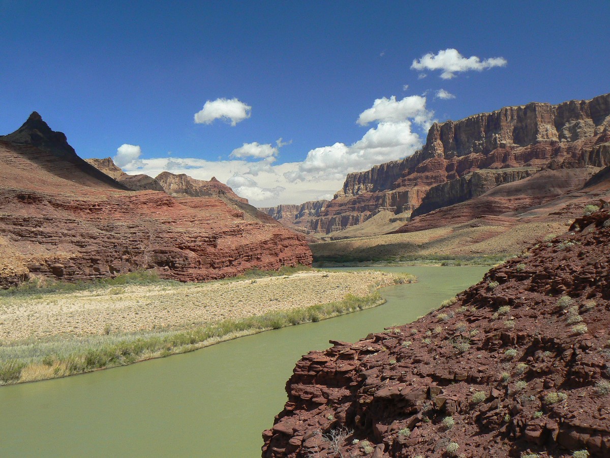
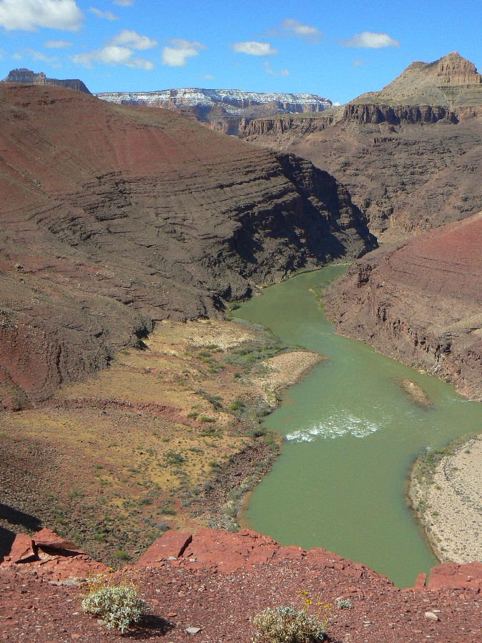
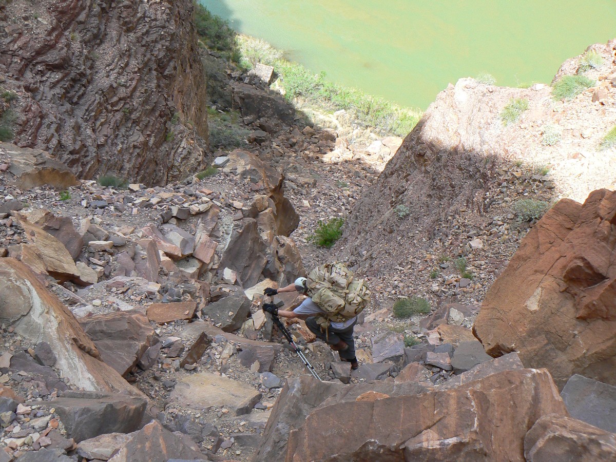
Yet, lots of slow negotiation downhill on the Tanner. Mostly, it's wind that accompanies us down and down, until
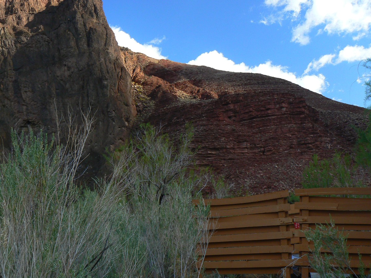
the rain blusters in behind us as we roll down the Dox Sandstone ? to the foot of the trail and Tanner Beach.
Click here to see the Escalante Escalade.
Click here to see the Transcendental Trans-Tonto.
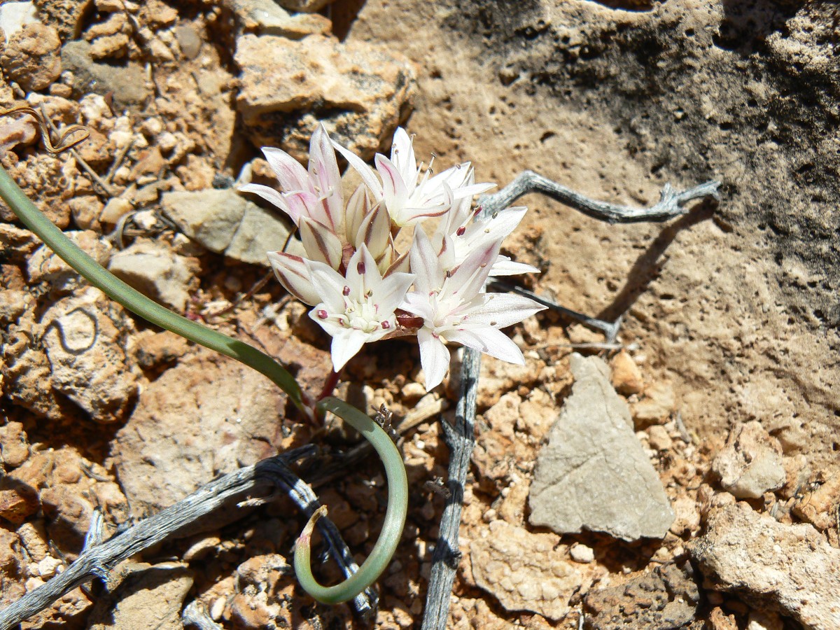
Evocative Escalante Photos - Day 2
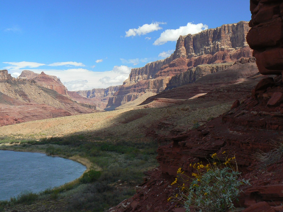
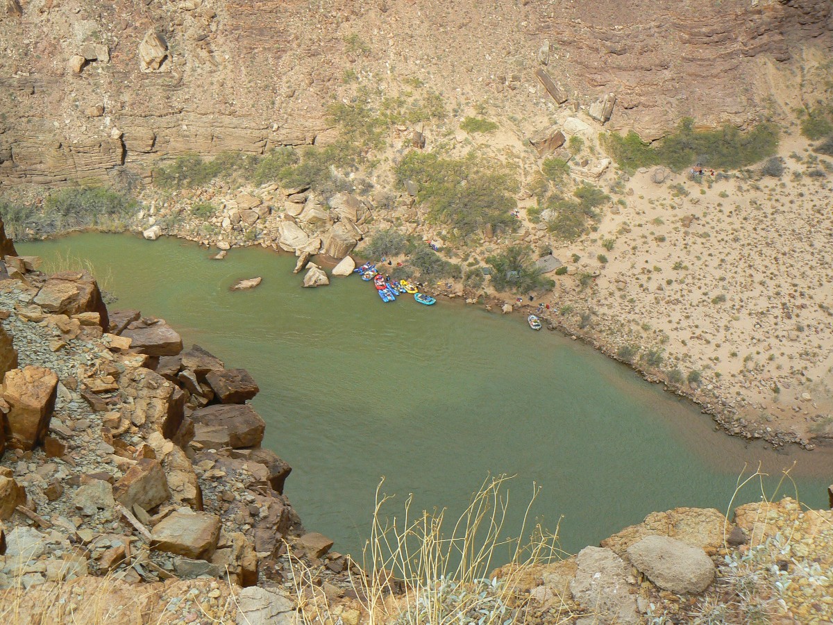
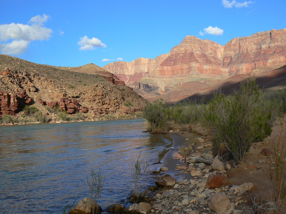
Day 2: Beamer Bottom - to Palisade. 4.0 miles; up 860; down 831; ERM = 7.0.
The rain was more than it seemed last night. John's bag is wet from condensation and direct drip.
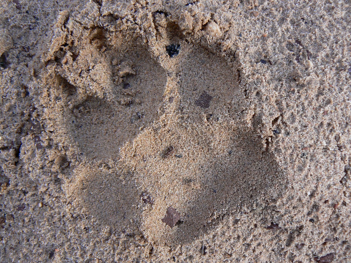
A huge, probably the world's largest, coyote has left tracks deep in the sand near the scenic toilet. Finally, the sun sneaks through
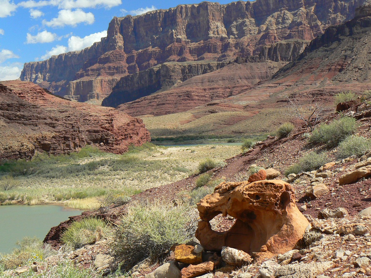
the clouds and it warms. After caching a rat sack load of food, we climb above the Colorado and edge along the deep red rust-colored roseate
rock layers, then drop down to the colluvium - where a glorious assortment of stream-eroded and polished rocks abound. We edge around another
cliff face and into the flats leading to the bottom of the Beamer Trail. Along the way, I encounter a USGS babe in tight black tights dancing
down the rock slope carrying a transit after taking plant observations. Infatuating.
After finding the old camp - of Bodacious Beamer era, I find yet another camp nearby at the bottom of the
Beamer - not as scenic, yet a superior cloister - in the mesquite and tamarisk, which superbly breaks the piercing wind. As Zig tries a
River bath, yet another storm front blasts in and the temperature drops. Rain spit accompanies dinner.
Evocative Escalante Photos - Day 3
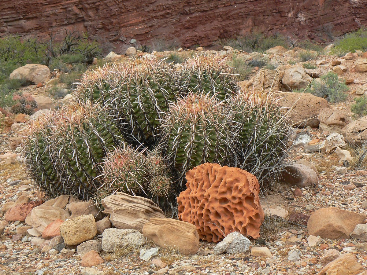
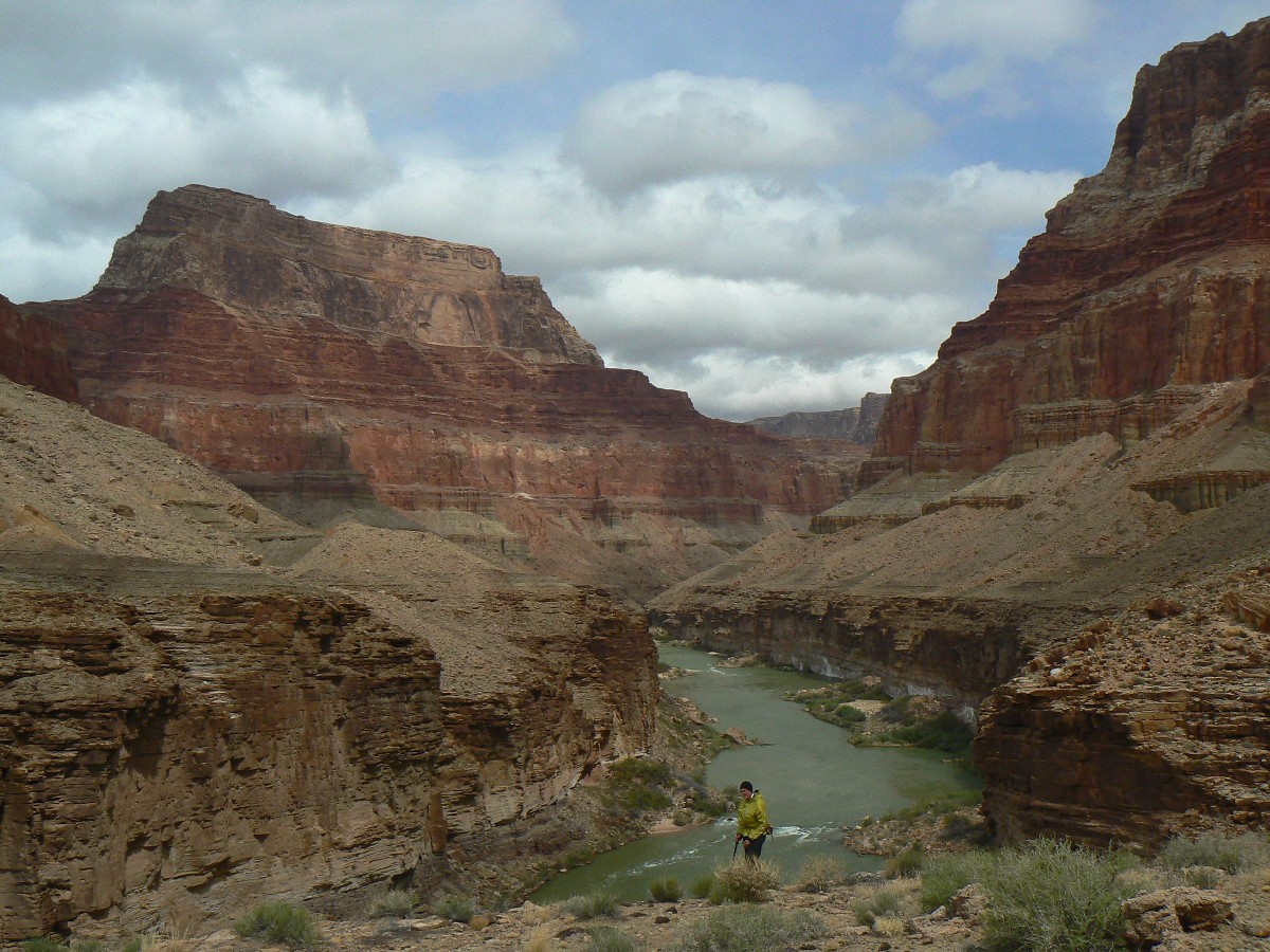
Day 3: Beamer Blast - day jaunt on the Beamer; 4.1 miles; up about 1700'; down
about 1700'; ERM = 10.5.
The blast of wind nearly takes off my tied on hat and does John's. Yowee - nearly over the edge. I'm glad
it's not one of us taking the air dive into the rock-hard waters far below. John retrieves his hat and we contemplate continued walking along
the narrow edge above the Colorado abyss. We do continue, the horrific blasts of wind pummeling us from downstream. Poor rowing today.
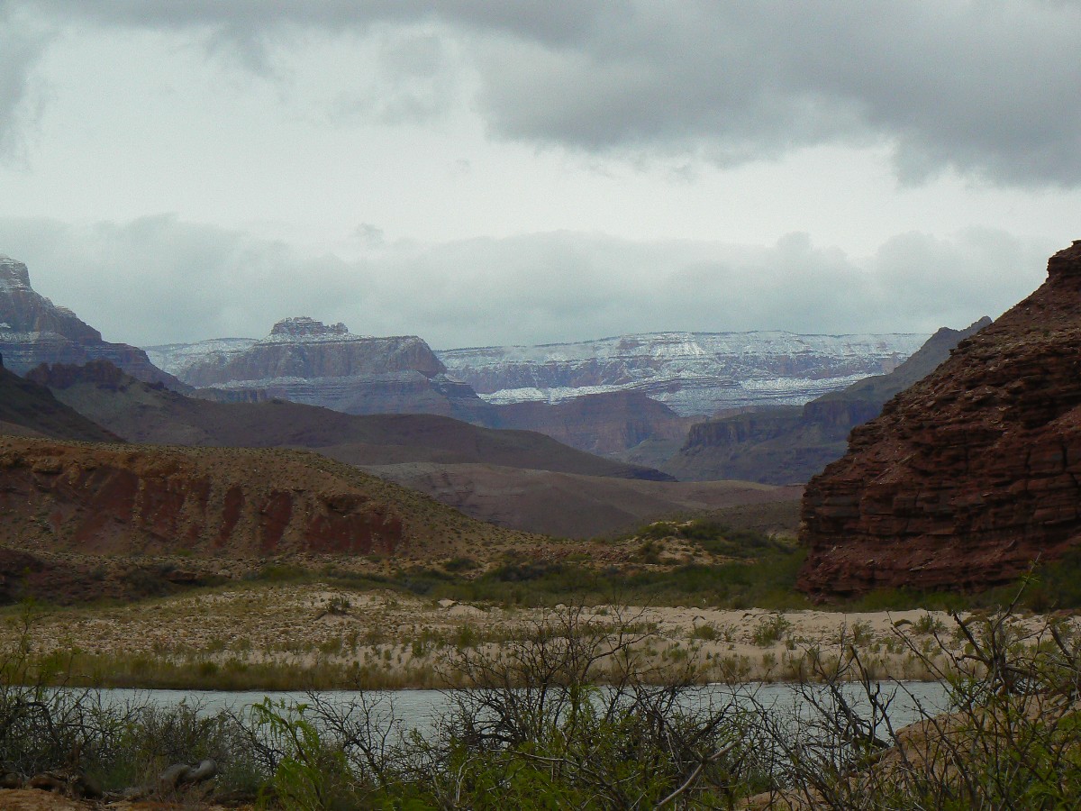
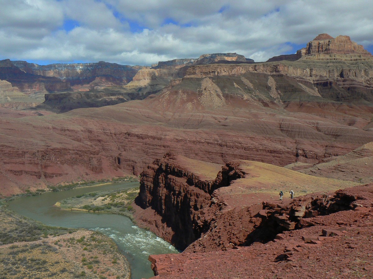
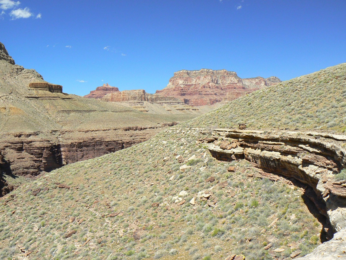
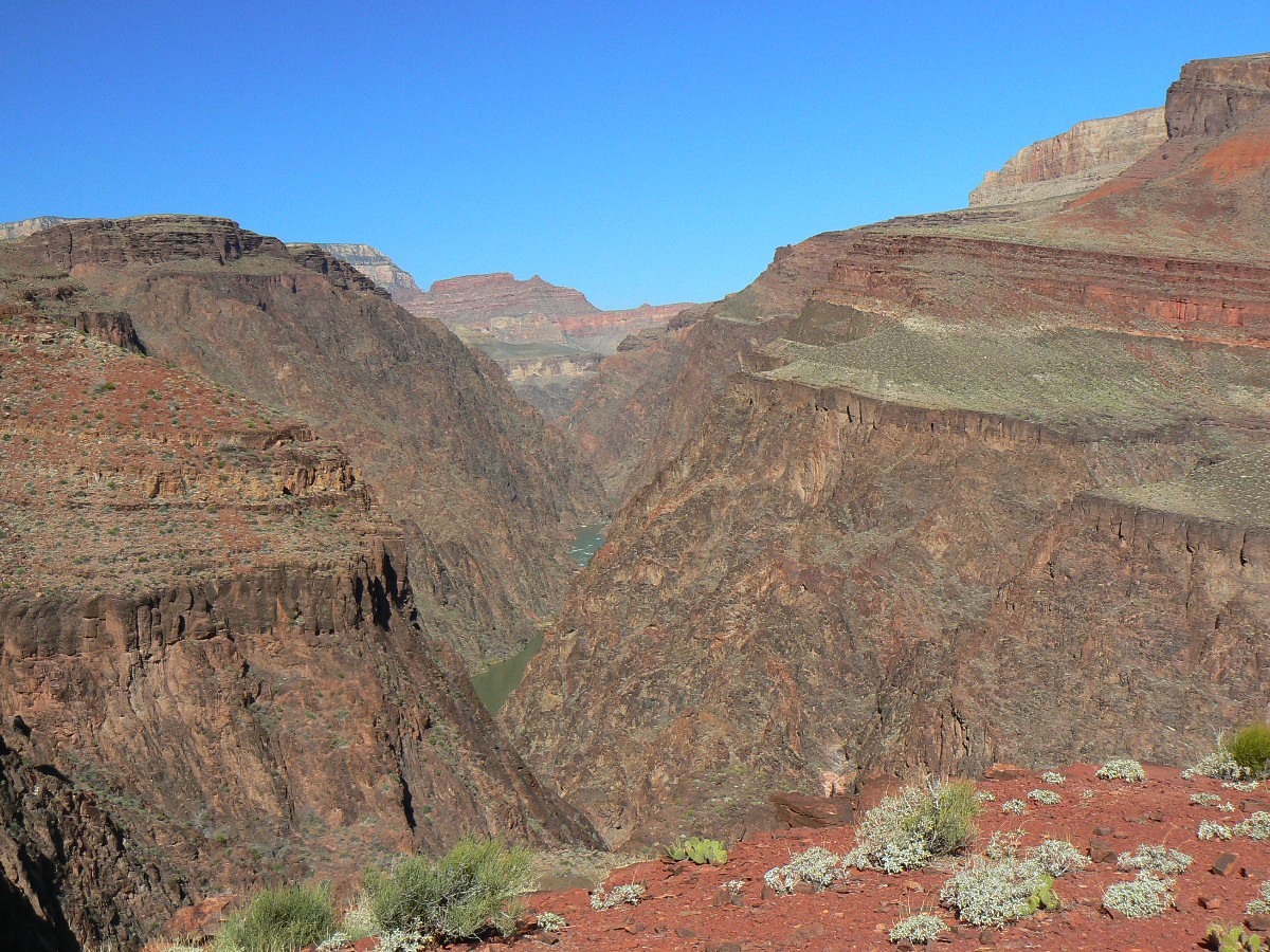
Reaching a vantage point where we can look upriver at the narrow gash and Chuar Butte, we decide it's not worth going all the way to the
LCR (Little Colorado River), especially since it's reportedly flowing brown and not the dazzling blue for which it's famous. It rains
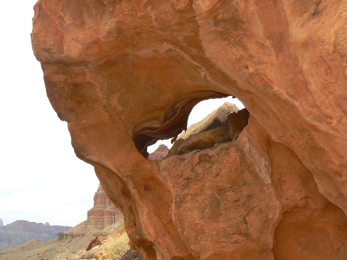
intermittently on our return to camp. I see Beamer's Loophole Arch along the way, a tiny boulder arch
(Beamer's Loophole Arch; UTM 12 S 426867 4000728). I'm happy to be off the edge and back
in our camp cloister.
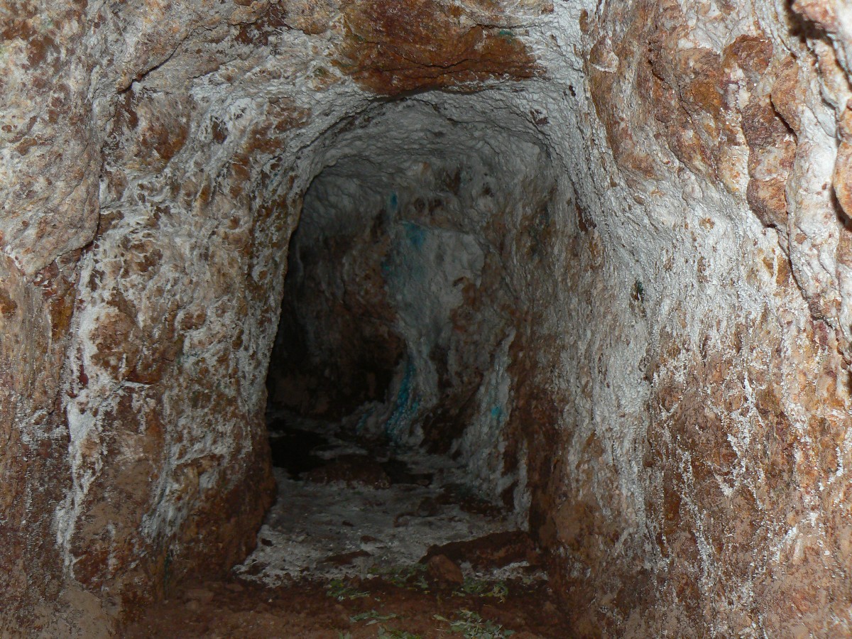
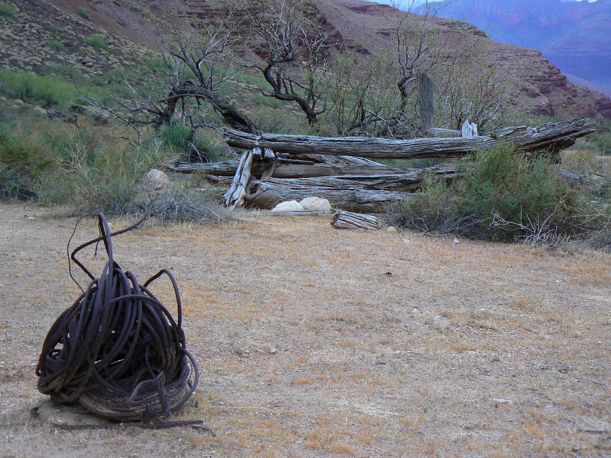
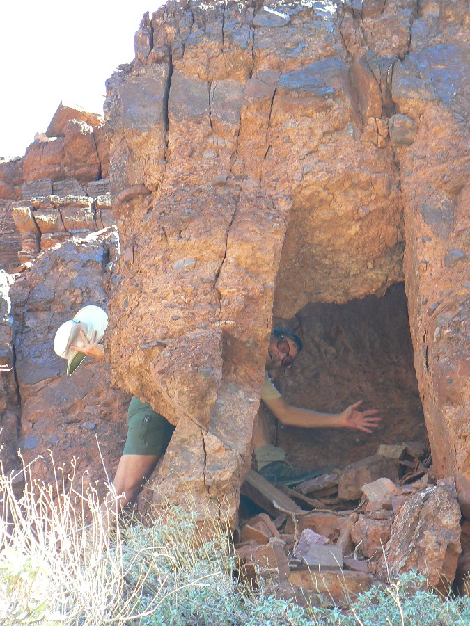
A bit more rain, followed by an early dinner (fearing more rain), then a walk to examine the mine (closed
by steel gates - bat habitat, maternity, not hibernating, habitat), the old cabin - apparently made of driftwood from a past massive flood
- now floods are prevented by damnation, Lake Foul, the evaporative sewage pond. Yet, I see no sign of a kiva or other structure (see video
links below). Drat. I do see a USGS sand and temperature monitoring station and lots of interesting displaced boulders and rocks.
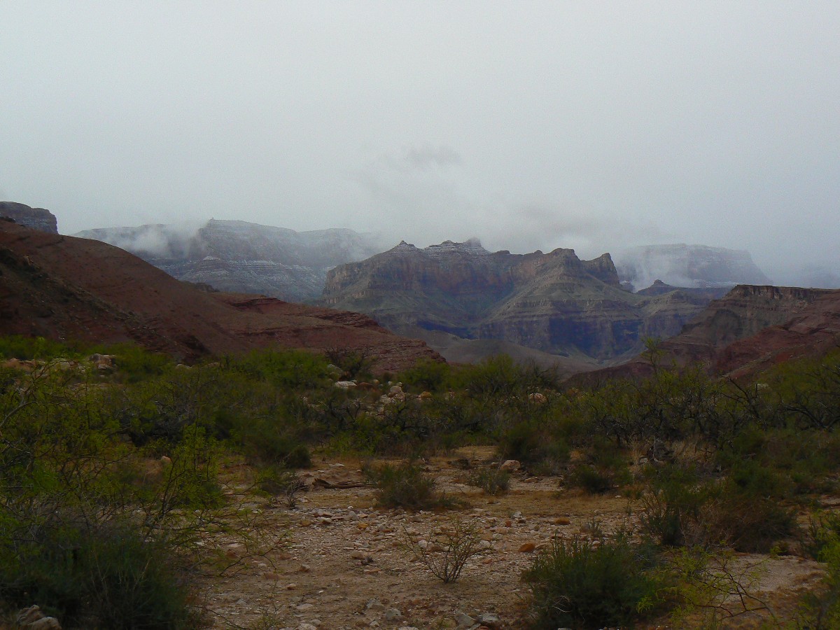
Layers of snow clog both the North and South Rims, and can be seen between cloud swirls. Will we experience
a heavy rain? Some snow? Tune in tomorrow to find out.
Now, at 7:30p, I'm ensconced in my TarpTent, there's currently no rain pattering, the air is cool yet not
cold, and the wind is screaming up the river channel.
Click here -
Bodacious Beamer report.
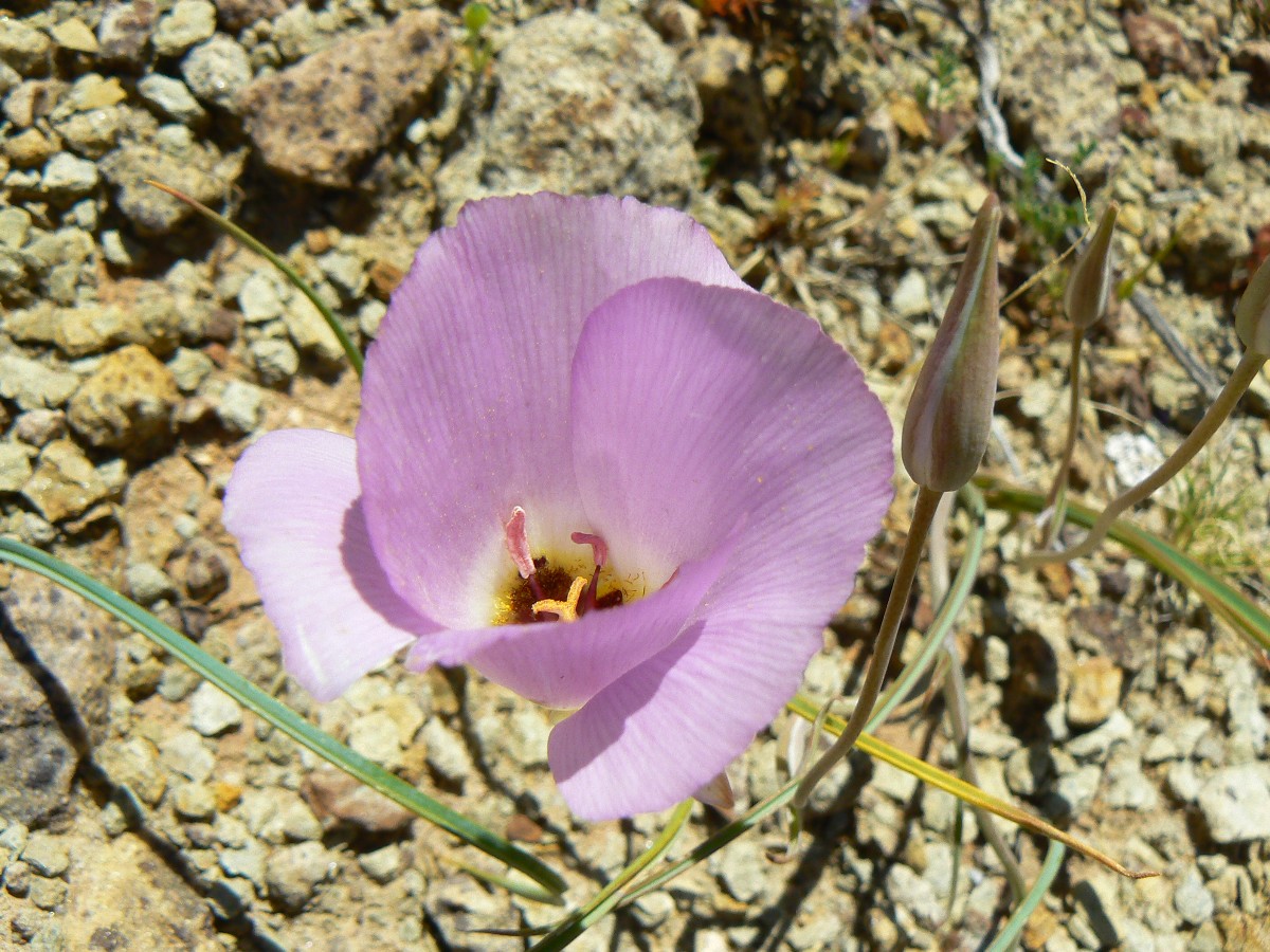
Evocative Escalante Photos - Day 4
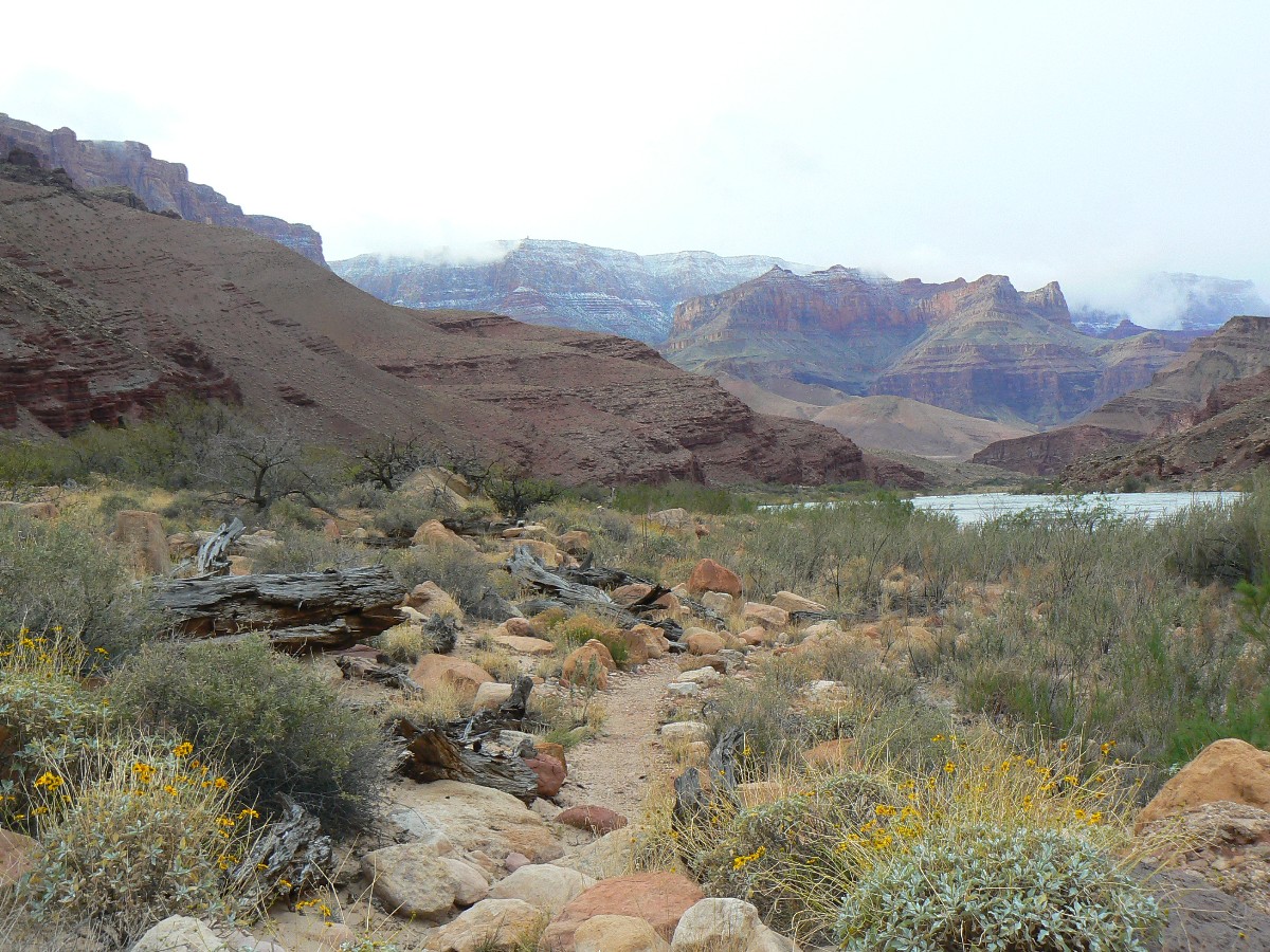
Day 4: Cardenas Cloister - to Cardenas Creek; 6.7 miles; up about 990'; down
about 1140'; ERM = 10.7.
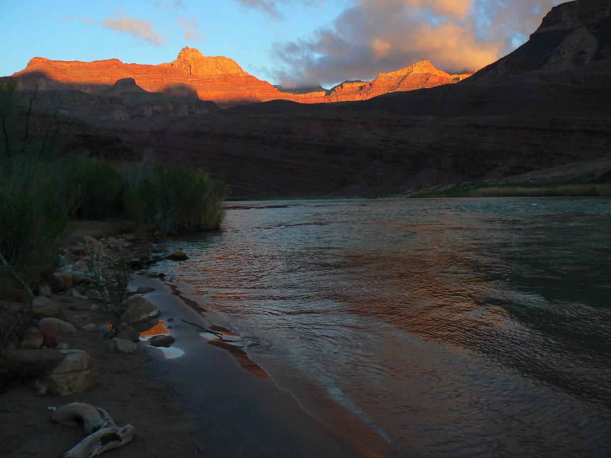
Snow blows past the high South wall as we walk the variegated reds of Cardenas flats. Almost to Cardenas
Cloister by The River.
We start early from the sheltered Beamer Camp and retrace our way across the Palisades boulder rubble field,
along the rubiginous ledges near The River side channel, then over the climby bump and back to the scenic toilet of Tanner Beach. Arriving
with the cache, we're wearing gloves and wool hats and wind shirts or jackets - burr. The sun comes out for lunch at Tanner foot before playing
hide and seek along the way to Cardenas.
There's no one at Cardenas, and we have our pick of the sheltered camps. Trying for a quick bath to intersect
with the occasional sun is like benefiting from republican trickle down economics - 0% success.
Overall, it's been a better day than the long-term prediction - we have wind and yet no rain and walk in awe
of how low the snow bands extend from the Canyon rims. We hear that it has not been a better day vis-ŕ-vis republicans increasing our vast
federal deficits via more tax breaks to the few wealthy elite and corporations - having difficulty balancing the budget on the backs of the
poor and soon to be poor because, hey, there has been profit only for the wealth few for a long time, and little more to wring from the
starving masses. Wimpy democrats capitulate and the gains go to the rich, while more debt is socialized to the many who have little.
It continues cold into dinner, where I am wearing everything but sleeping bag and rain pants.
|
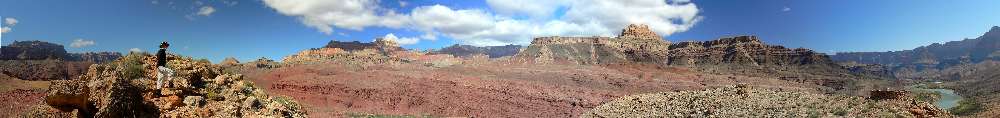
|---|
pano from Hilltop Ruin - scroll L-R to view it all (7651 pixels
wide; 1.85mb)
(Click the image for the full-size image)
|
|---|
|

|
|---|
movie 1 from the Escalante Route
(Click the image to view - 24mb)
|
|---|
|
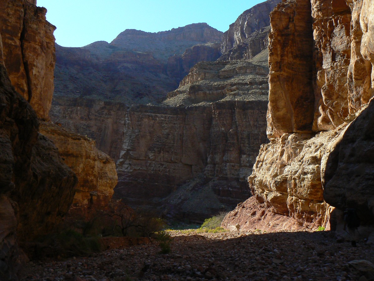
Evocative Escalante Photos - Day 5
Day 5: Seventy-five Skidoo - to 75-mile; 8.4 miles; up 2000'; down about 2000';
ERM = 16.5.
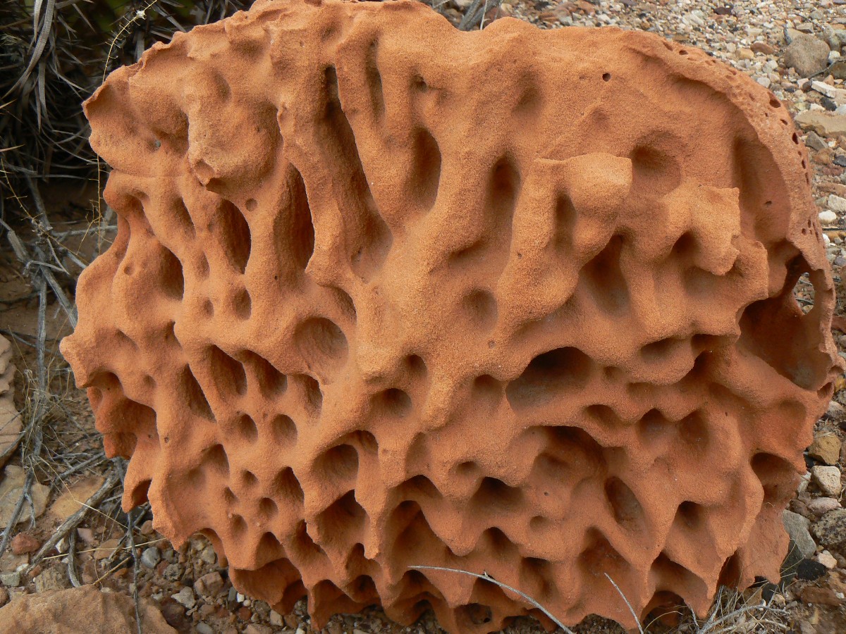
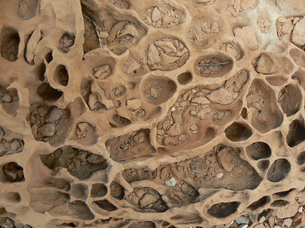
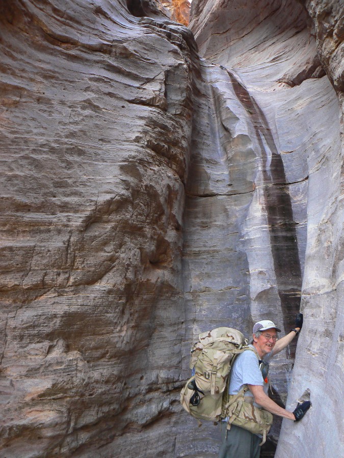
Slipping down the Shinamu Quartzite slot evokes memories of Beowulf and mystic elves. Delightful.
A bit eerie. Natural quiet, so rare in this GC wild zone, terrorized by air tour terrorists, creating national security risks by using
all that oil for no reason but to increase our health care costs (obesity, cardiac and lung atrophy, no child or adult left outside) and
benefit the wealthy elitists who will privatize our precious public lands.
Down the slot, a distant roar builds from a whisper. It's The River, and we can hear it now - unlike
above Unkar Rapids, which deep melody was decimated and drowned by the air tour terrorists.
We slip along the canyon wall and into sheltering willows and tammies, and enjoy 75-mile camp without
interruption. Ahh.
The dull roar of Nevill's Rapids reverberates along the deeply shadowed, sinuous republican
hide. The polished Shinamo Quartzite looks
like elephant (republican) hide. Sadly, true republicans (who do not support wasting all
our resources on an unprovoked, immoral war, who do not support the gushing transfer of
wealth from the once-middle class to the very few wealthy elite) are as endangered as
elephants. From Bill Moyer's June 13, 2008 broadcast:
"The United States is the most economically stratified
society in the western
world. As THE WALL STREET JOURNAL reported, a recent study found that the top .01% or
14,000 American families hold 22.2% of wealth — the bottom 90%, or over 133 million
families, just 4% of the nation's wealth."
Click here -
Read and listen
to the entire Bill Moyer's piece on "Gilded Ages," the ever-growing economic inequality
and iniquity, that is - the wealthy elite and corporate welfare.
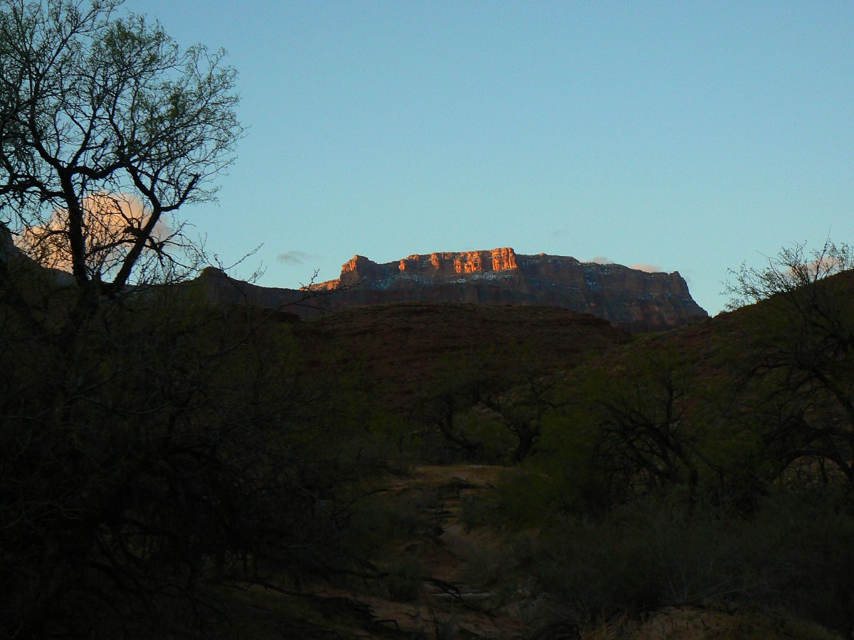
It's a cool evening - down into the mid-thirties - yet generally clearing skies after the stormy first four days.
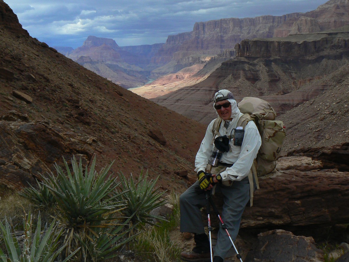
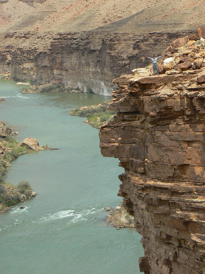
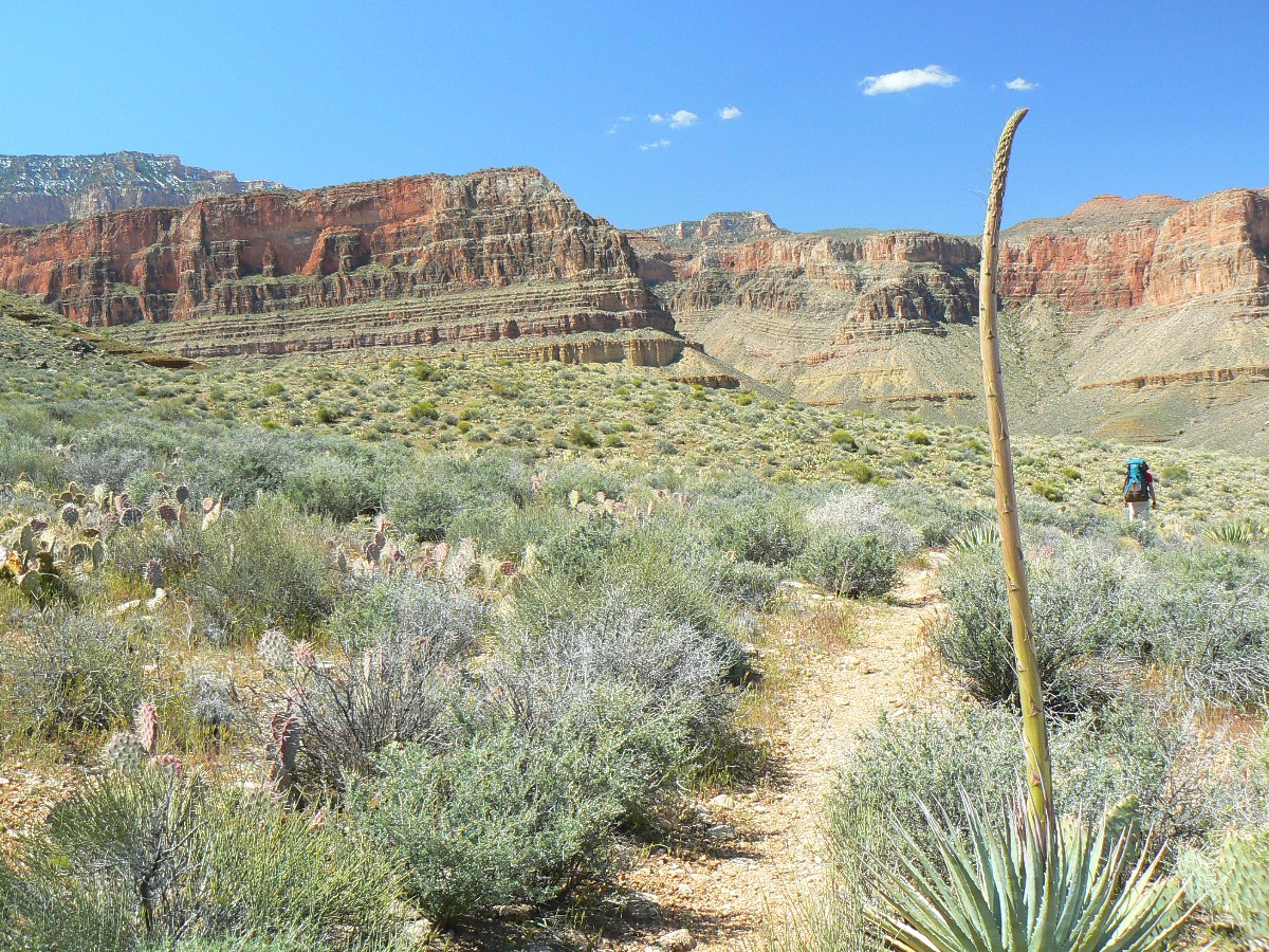
Earlier today - Wind accompanies us as we trudge over petrified seashore ripples on our way to Hilltop Ruin. What manner of ceremony and
celebration happened here? Warmongering or womanizing? War or peace? Bushco or Obama?
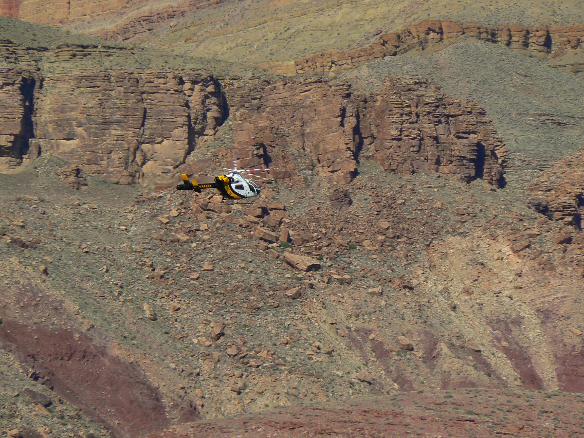
Then, along the gash high above Unkar - where an NPS chopper skillfully circles in for an injured rafter.
Onto the boot-width Escalante Route proper. One leg gets shorter with all this hill slope rambling. Finally, we drop into the Escalante
drainage and then onto the ramp rising from the River and delivering us to the Shinamu slot. Local sunset collapses on us before a decent
bath is procured. We see one hiker today and one river group. The rodentia come out to chew the rat sack as I finish these notes. Scraping
their chisel teeth on the stainless steel mesh and fussing like a banker who is asked to pay taxes.
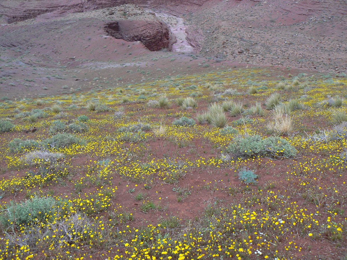
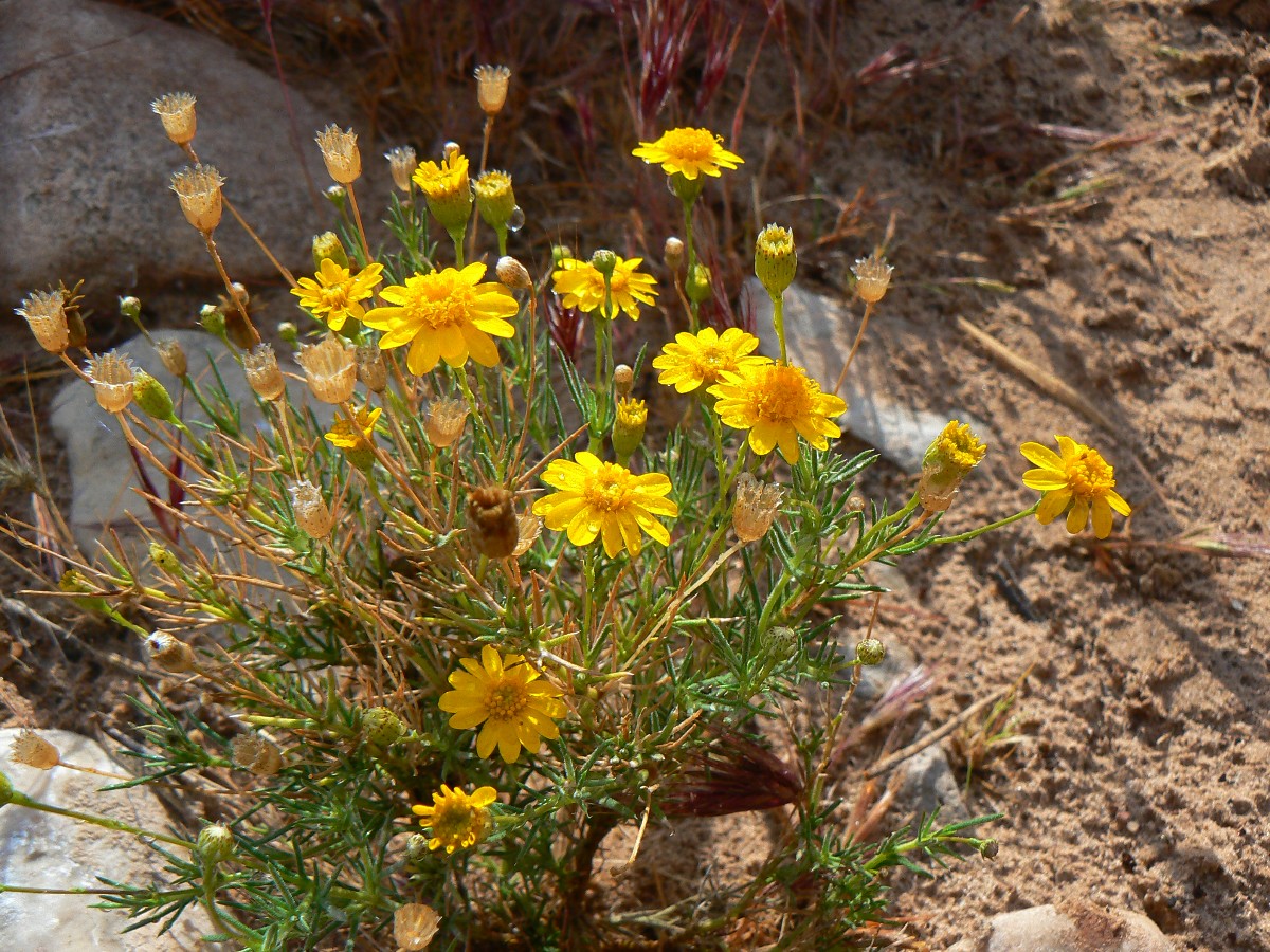
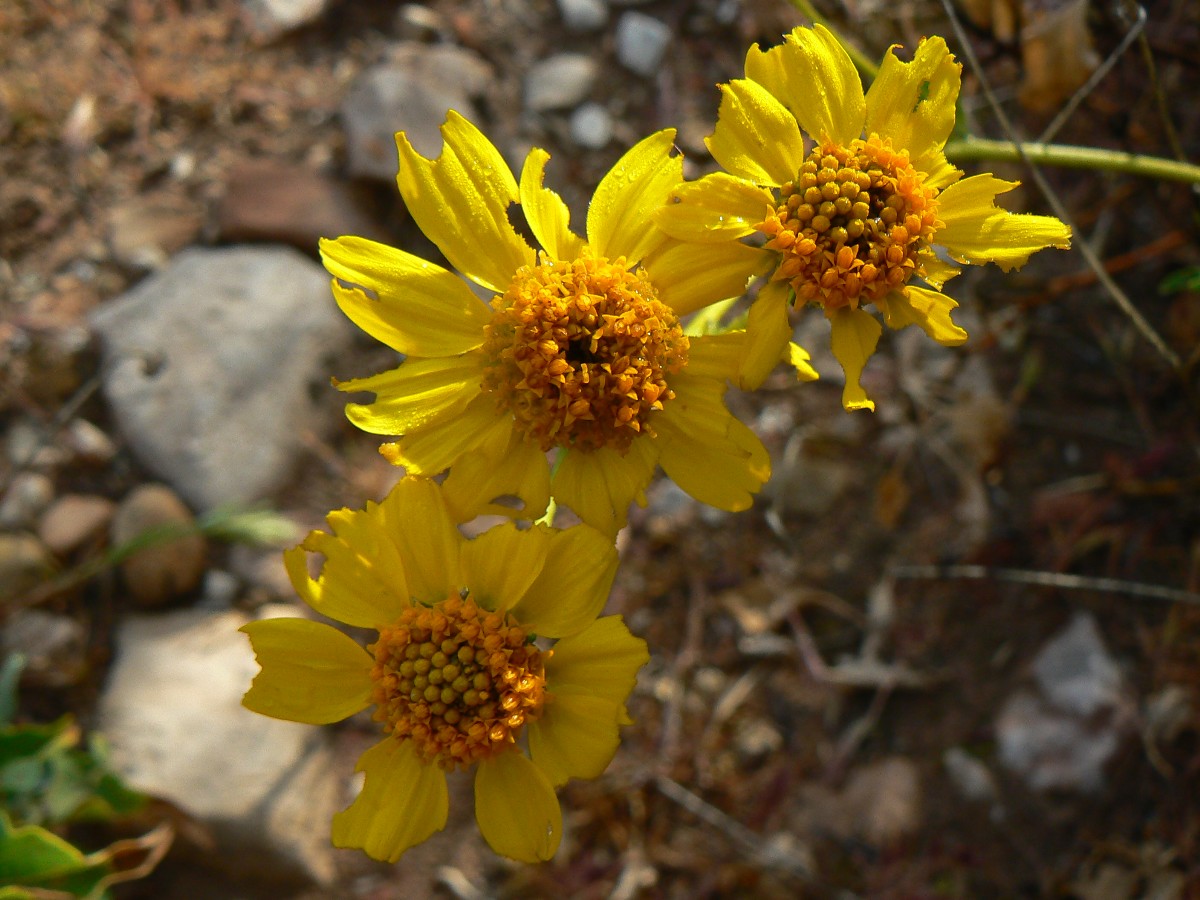
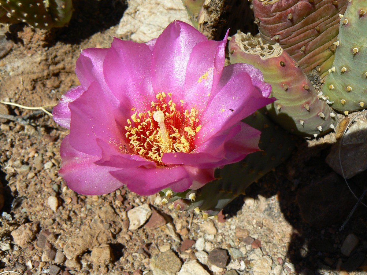
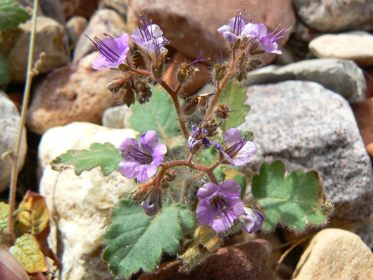
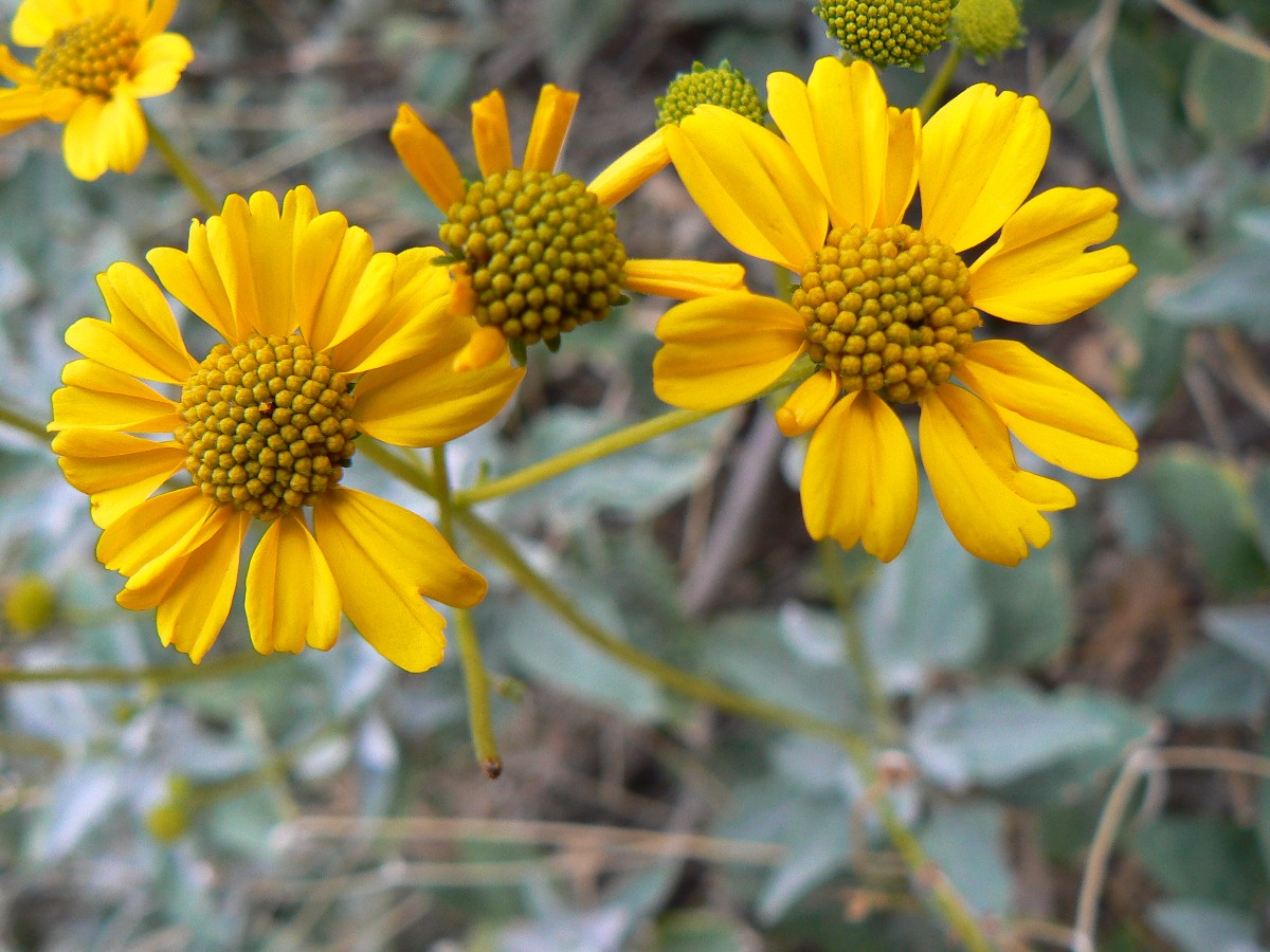
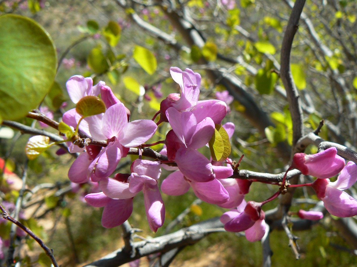
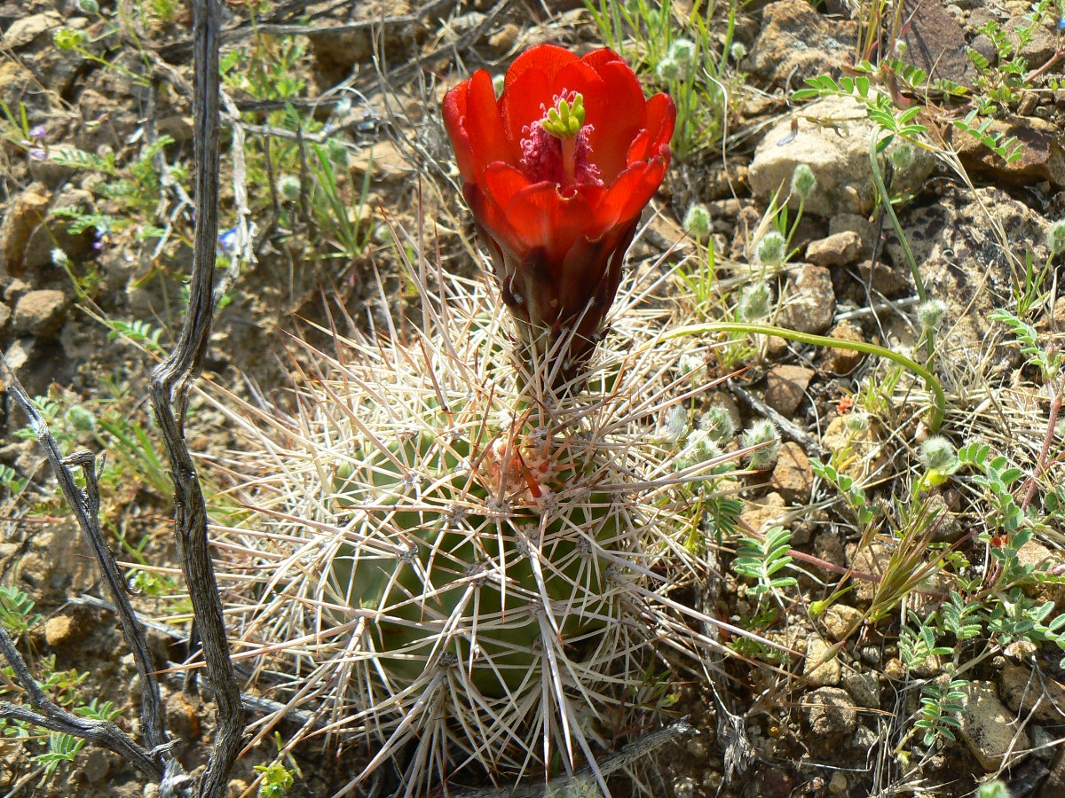
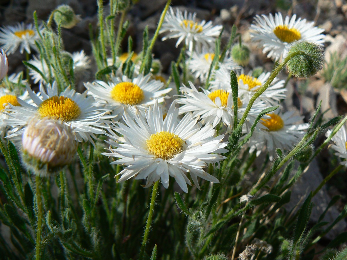
The lavender sprig from my hat stinks up the tent in the most glorious way. Lavender, paintbrush, brittlebush,
Apache Plume, and a few vagrant cactus are blooming - blooms seem late this year. The raucous thunder burble of 75-mile rapids makes for
interesting dreams, staring McNulty and his red-headed women of The Wire.
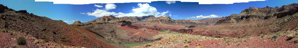
|
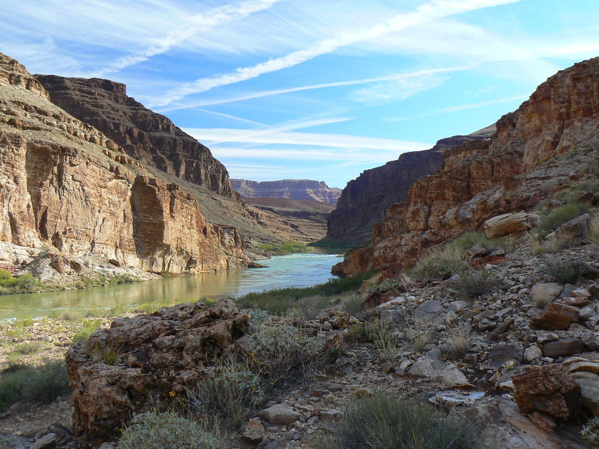
|---|
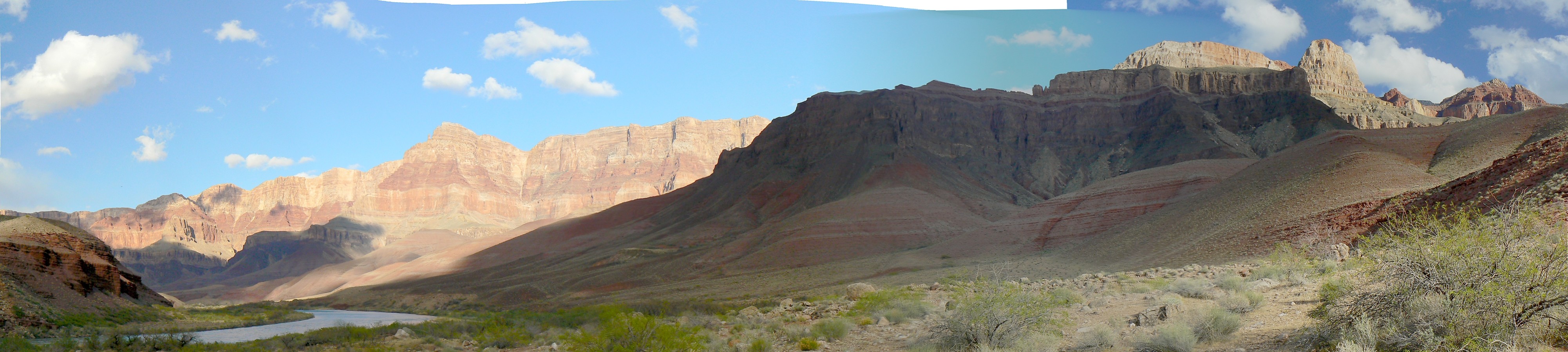
pano from Escalante Route above Unkar Rapids - scroll L-R to view it all (5591 pixels
wide; 1.6mb)
(Click the image for the full-size image)
|
|---|
|
Evocative Escalante Photos - Day 6
Day 6: Red is Right - Papago Plunge - to Red Canyon; 3.1 miles; up and
down about 350'; ERM = 4.5.
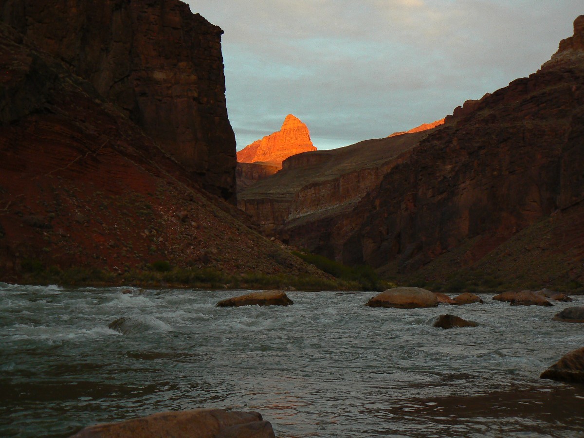
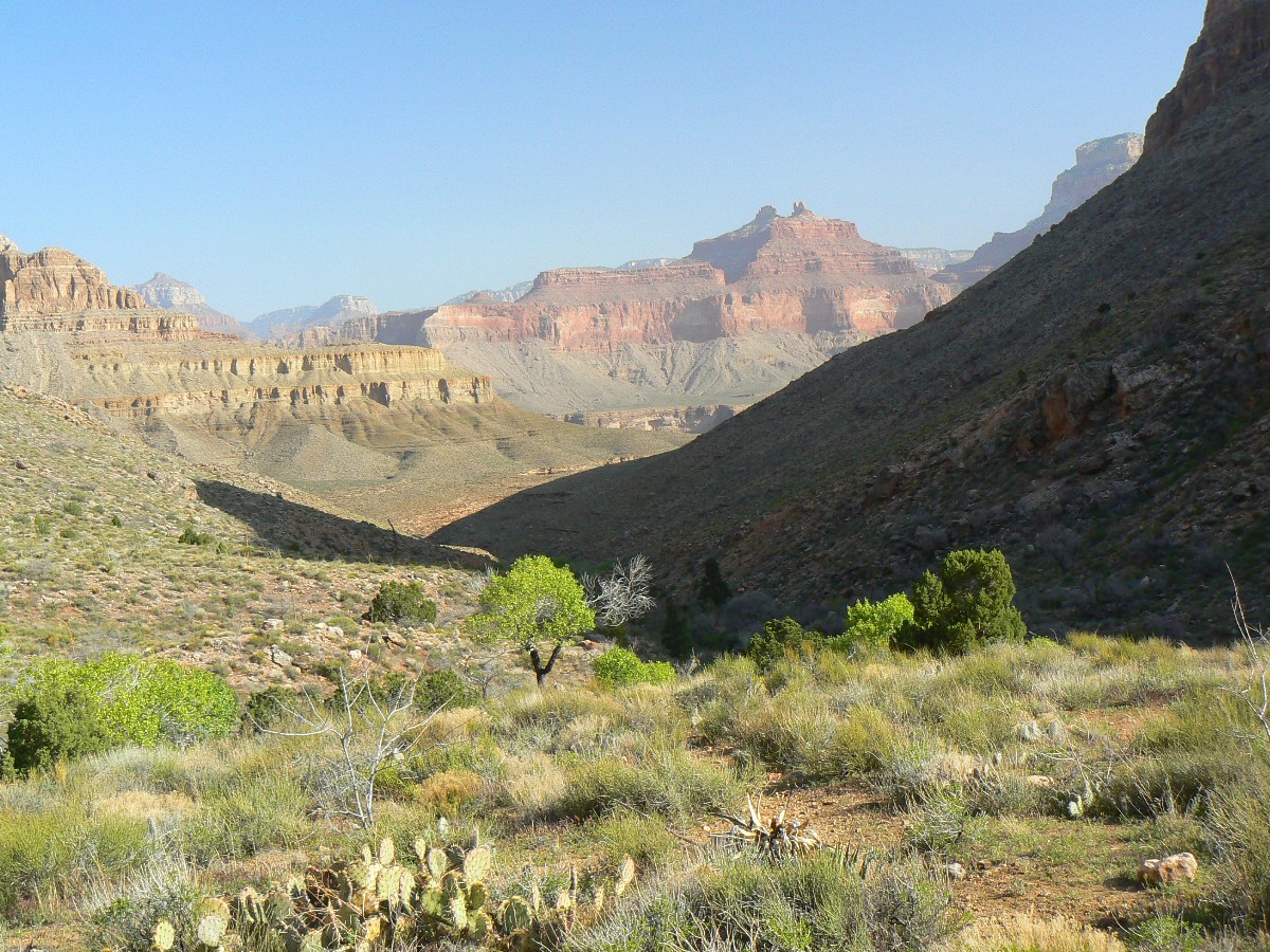
The light of local sunset fades from hurrying Hance Rapids, red thinly bedded rock impaled by an ebony
black dike. Red is right - finally temperatures "right" for a GC trip rather than an arctic jaunt. Red Canyon is populated tonight -
seeming the impending government shutdown has been averted by wimpy democrats caving in to elitist wealthy republicans, passing more debt
to what remains of the middle class (and people who falsely believe or aspire to being middle class) and producing an even greater income
disparity, if possible. Privatizing gain for the wealthy, slogans and socializing the loss for everyone else. Isn't this a great country or what?
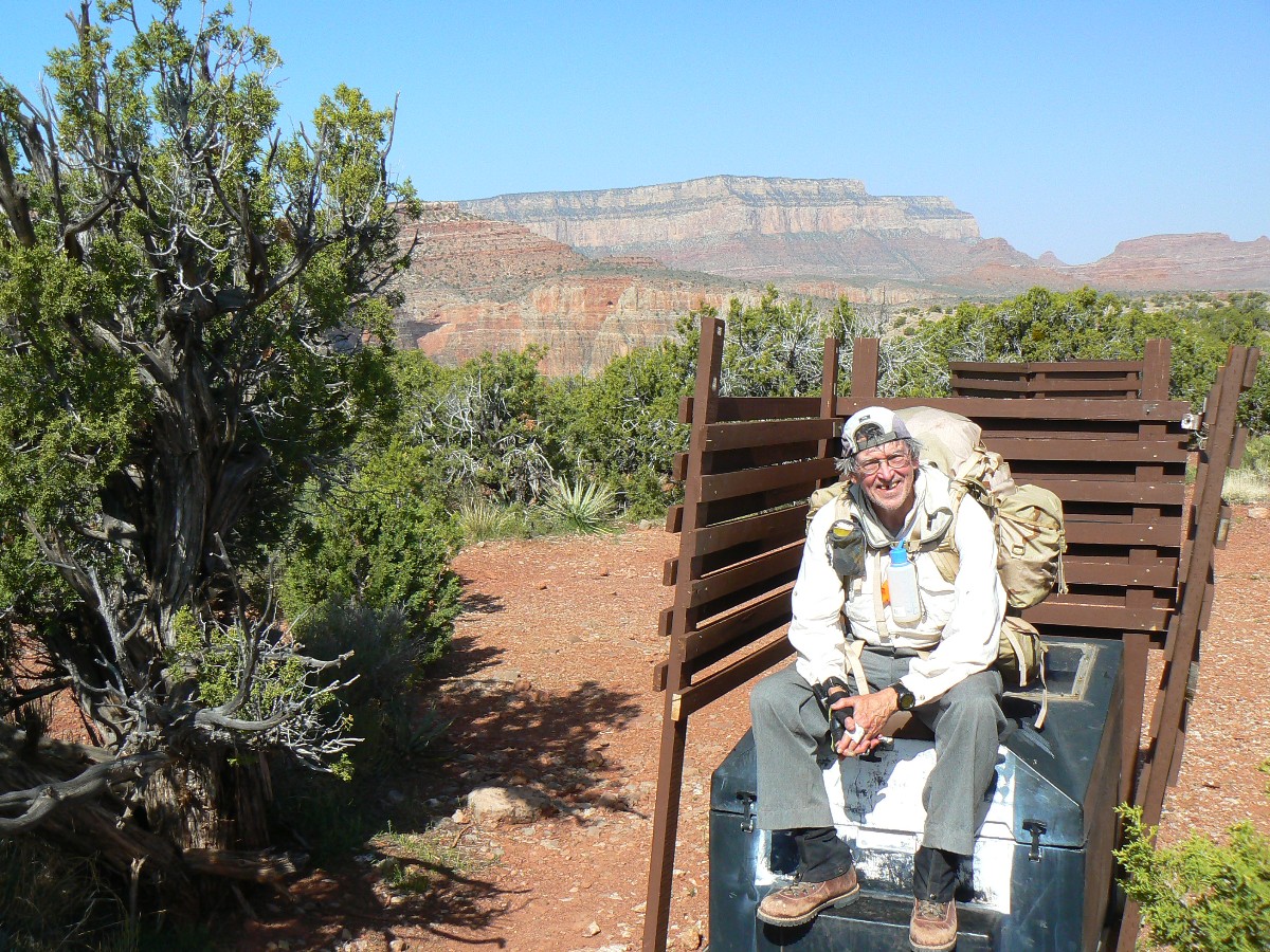
John starts off early and travels to Papago, where he meets the USGS crew for coffee. He takes the low route
to Papago and Zig and I take the high route, arriving just as the USGS babes and guys pull their well-stocked sausage-shaped boats from shore
and back into the fidgeting flow of The River.
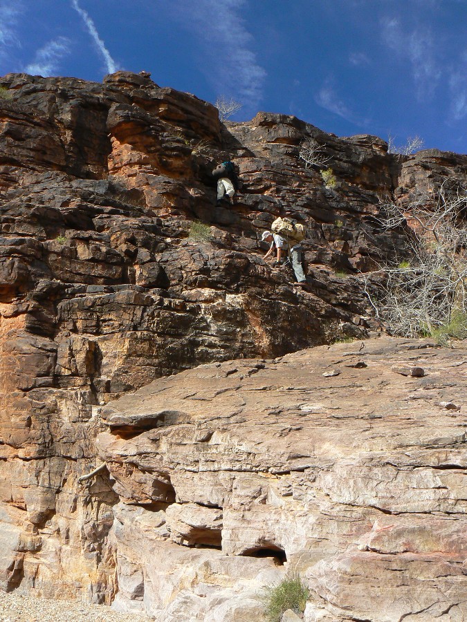
We find a gov. radio and add it to the packs with which we claw over Papago Wall and slip down the Slide.
Slow and steady.
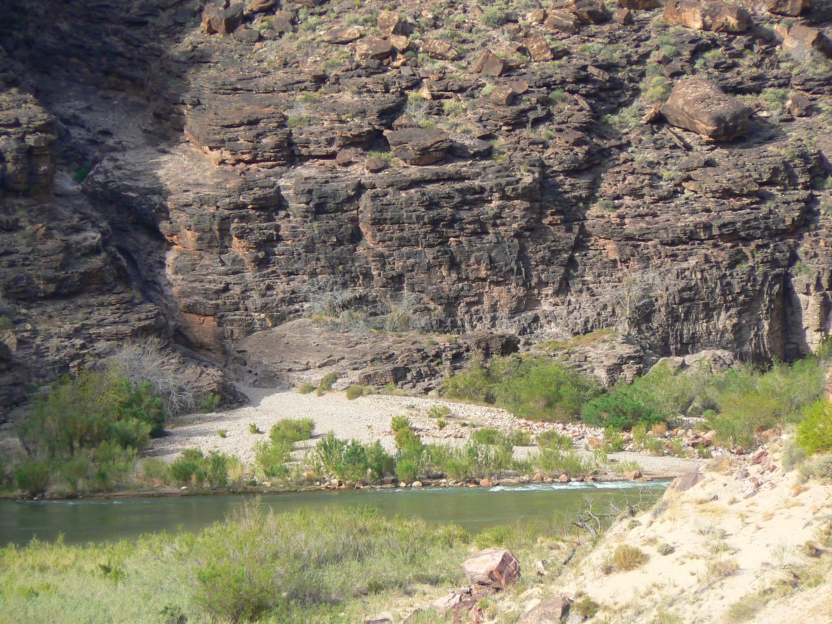
At Red Canyon, John goes over the hill downstream, and onto the Tonto Trail, and sees the USGS boats - and
trades the radio for avocado, onion, tomato, a lime, and a few tortillas. Guacamole? A brief exploration of Red Canyon, some talking with
Mike, Mary, John of the far East, a river bath, and we're back to local sunset, camped in the veranda, pathetically awaiting a prophetic pork
chop a la the last Escalante Route trip. No boaters show to provide.
|
|---|
movie - sounds of Natural Quiet - froggies in Hance Cr.
(Click the image to listen - 10mb)
|
|---|
|
|---|
movie - Natural Quiet - froggies in Hance Cr.
(Click the image to listen - 15mb)
|
|---|
|
Evocative Escalante Photos - Day 7
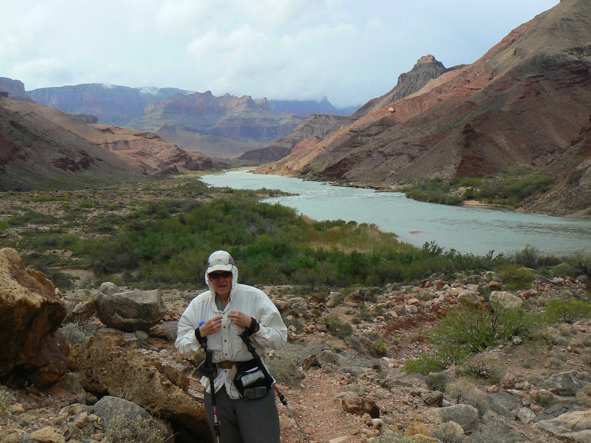
Day 7: Tontour Return - to Hance Creek; 6.5 miles; up 1650'; down 775'; ERM = 11. Camp at About 3675'.
Waltzing the Tontour, which holds up the contour. Deluxe. We've hiked up from River level to a view of
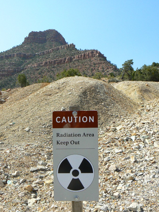
Hance Asbestos Mine and his decidedly perilous trail back to the rapids. Climbing more, we nose around into Mineral Canyon and then the
contour of the Tontour past TTT Arch. The refreshing (and unusual that cool would be refreshing on this hike) cool of the East side of Mineral
fades as the sun filters over the rim. It’s actually a warm day. Around and into Hance Creek and the joy of froggies. Froggies, tuning up for
what would become a cacophony of amphibian aural acrobatics of the Canyon Tree Frog. A warm sunshine, warm poaching rock bath delights.
John slices the webbing between his fingers while fixing guacamole from the USGS bonanza - requiring camp
medical attention. Horrible.
Some chips, a bit of sautéed onion, a touch of avocado and John's rooster hot sauce and the day is especially
good on top of superb. Asleep to clear skies and a chorus of froggies.

|
|---|
pano from Tonto below Horseshoe Mesa - scroll L-R to view it all (10957 pixels
wide; 3.3mb)
(Click the image for the full-size image)
|
|---|
|
Evocative Escalante Photos - Day 8
Day 8: Curve of the Horseshoe - to Cottonwood Creek; 5.4 miles; up 2000';
down 500'; ERM = 10.4. Camp at 3800'.
The wind blast flattens out Zig's tent, pancaking it, and sending assorted equipment flying up canyon.
Then calm, followed by a down canyon gust of equal MPH. Yikes. It's nearly impossible to keep on one's hat. Piercing.
The day started with the long arc around the North plateau arms of Horseshoe Mesa - at the Tontour level.
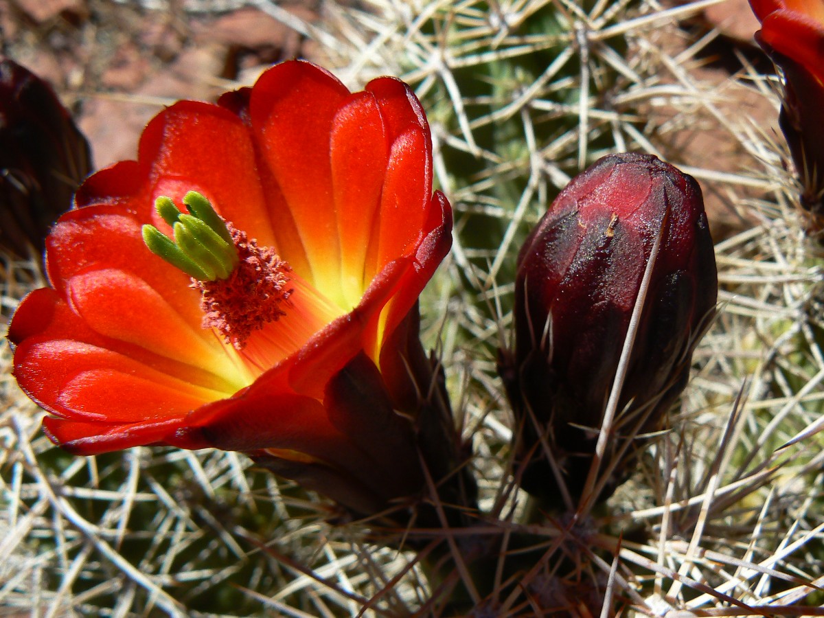
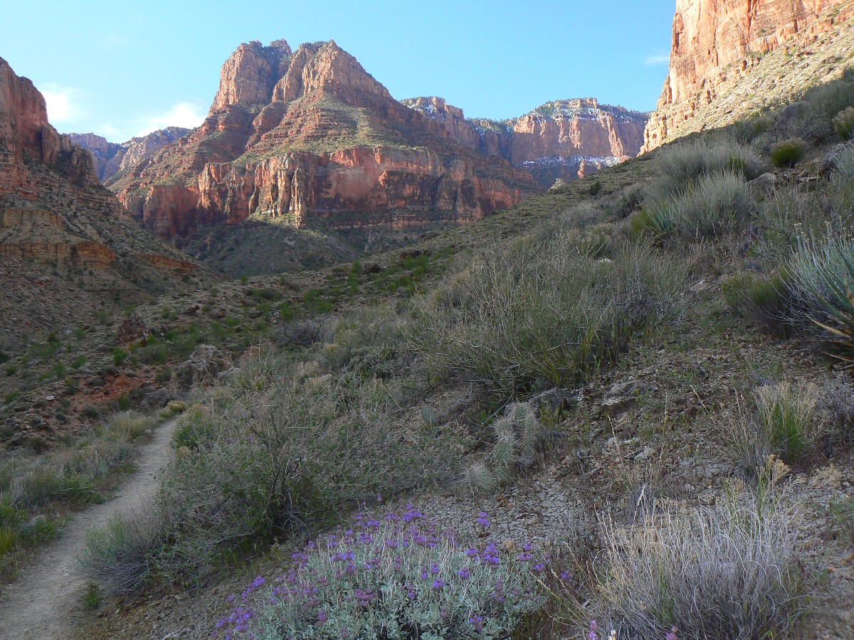
More cactus flowering, brittlebush, a few mariposa. Shorts and T-shirt most of the day once we climb out of Hance Creek. Hooray.
The wind gusts continue so violent that the froggies fail to sing.
Evocative Escalante Photos - Day 9
Day 9: Grand Review - to Grandview TH; 5.1 miles (total trip = 51.6 miles);
up about 3700'; down about 200'; ERM = 13.0. To 7400' at rim.
John and I stare at the electronic cocaine screens, attempting to complete field surveys about the horrid
air tour terrorist noise intrusion that shreds natural quiet in The Grand Canyon. Frustrated by the poor contrast on the screen, we press
on for science and to register our bit about these elitist offenders to the purpose of National Parks everywhere. The NPS folks are gathering
noise impact opinions from backcountry users. We give them our opinions, emphatically. Natural quiet or noise park?
We’ve hiked up in the early morning light from Cottonwood Creek camp to Horseshoe Mesa, where we briefly visit
the scenic toilet before continuing up. As we approach the snow level near Grandview Point, day hikers begin to appear. A few turns below the
point, we encounter what’s left of the earlier snow, packed into ice in a few locations. Not bad.
Walking the last two turns to the Point, we are met with uncomprehending stares and glances from the shutter-bug
many who have ventured several yards from their tin cans. Tin can tourists, giving us the grand review.
So quickly, we are whisking away to complete our shuttle. Zig begins the low flight to the land of smog and
propagation while John and I roll the Ponderosa Pine pavement of Northern Arizona. Later, John continues to
the politically sensible Bay area, to contemplate more early snow trips in the Sierra. Me? I'm preparing for my first
junket to Royal Arch with the iconic Dave Rumbellow and Mike Garvey. Joy, shipmates of natural quiet, joy.
More truth than joke
Links:

MAPS:
|
|
|---|
Map - GC: Tanner - Beamer - Esacalante - Tonto - Grandview; 2011; 52 miles
(Click the image to see the map)
|
|---|
|
Click here to go to our Google planning map of this trip.
MOVIES:
Click here to see the destruction
of natural quiet over the Grand Canyon (youtube video - 4.5 min.)
OK, it's audio only, yet: Hear the committee in support of natural quiet in the GC. (MP3 file; 192kb)
movie - sounds of Natural Quiet - The River
movie - Natural Quiet - destroyed by air tour terrorists
movie 1 from the Escalante Route
movie - sounds of Natural Quiet - froggies in Hance Cr.
movie - Natural Quiet - more froggies in Hance Cr.
Supportive Information:
Click here to: Hear the committee in support of natural quiet in the
GC. (MP3 file; 192kb)
Click here to see and hear
the destruction
of natural quiet over and in the Grand Canyon (youtube video - 4.5 min.
Click here to see Alum Water
treatment for GC hikers (pdf by John Ladd)
Click here to see Doug's Rock Garden site about the Escalante Route.
Grand Canyon River Archeology
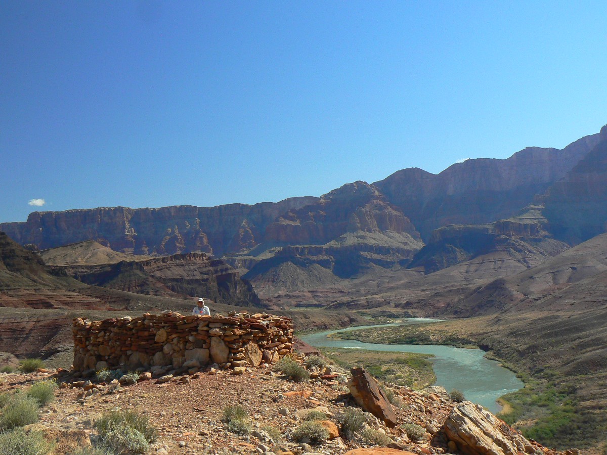
Virtual Tour starting with Hilltop Ruin.
Click here to see the NOAA forecast for the high country.
Other WV reports about the Grand Canyon:
Click here
to see the report about the first exploration of part of this section. The Escalante Escalade!
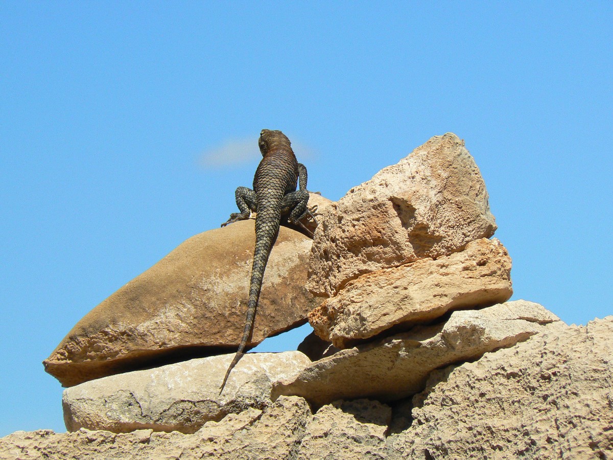
Click here or on the Looking Lizard to go to all WV reports about The Grand Canyon

|
|---|
Looking for All Wilderness Vagabond trip reports about the Grand Canyon?
Click the image to go to All WV reports about The Grand Canyon
|
|---|
|
| |