|
|---|
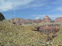
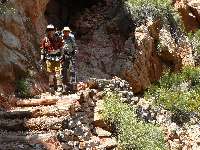
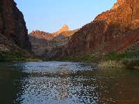
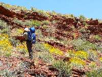
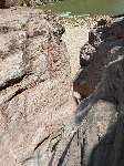
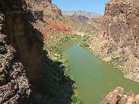
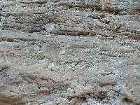
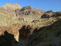
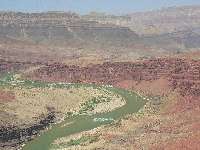
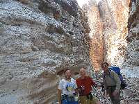
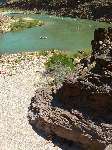
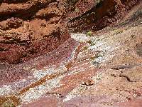
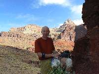
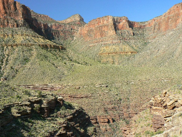
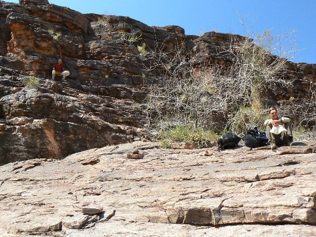
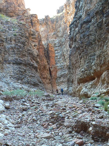
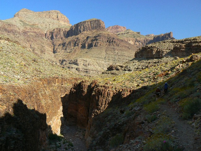
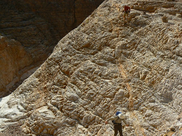
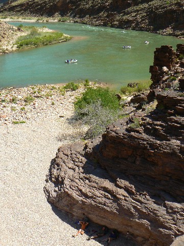
coming out on the Tonto
(Click the image for a full-size view)
|
|---|
|
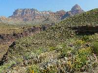
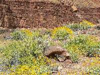
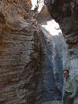
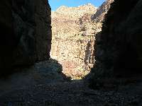
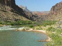
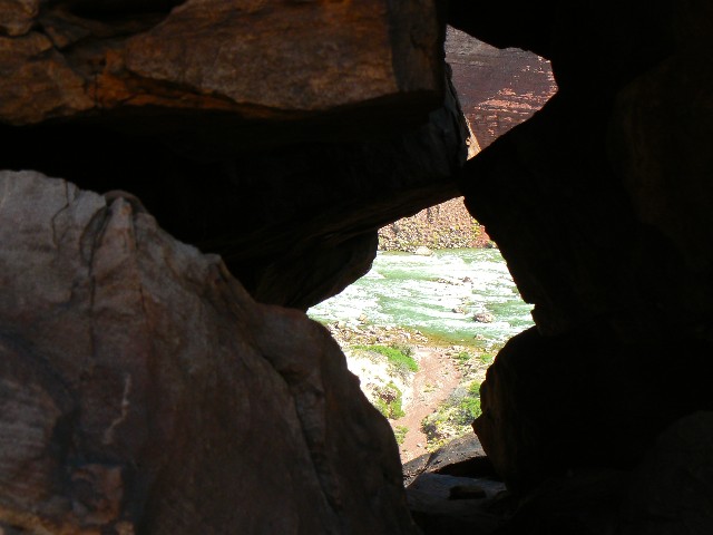
|---|
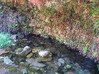
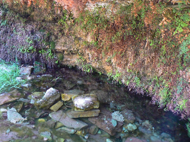
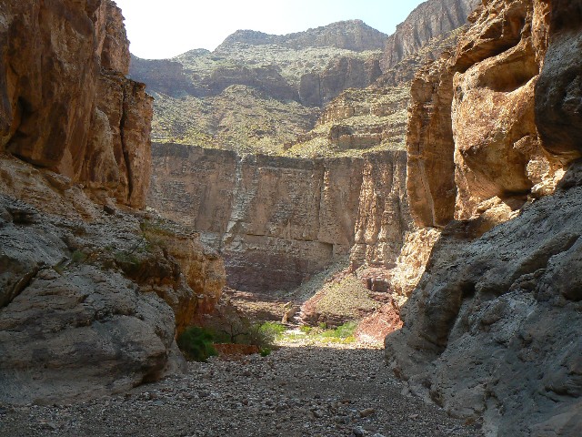
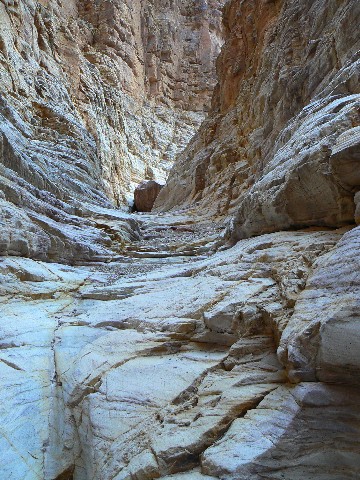
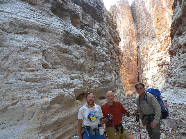
into Hance Cr.
(Click the image for a full-size view)
|
|---|
|
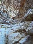
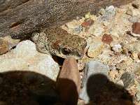
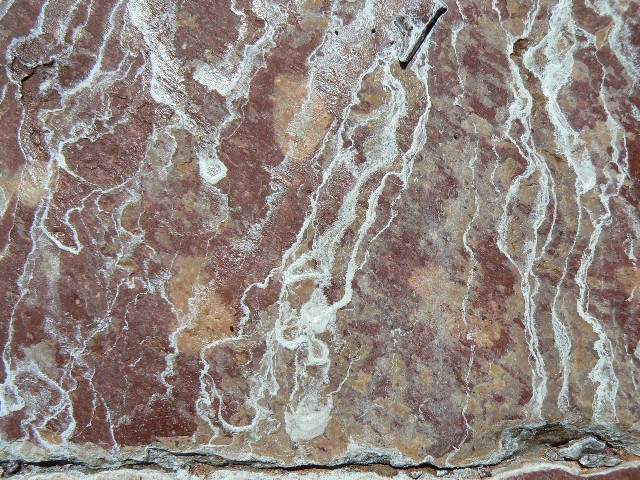
|
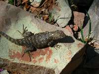
|---|
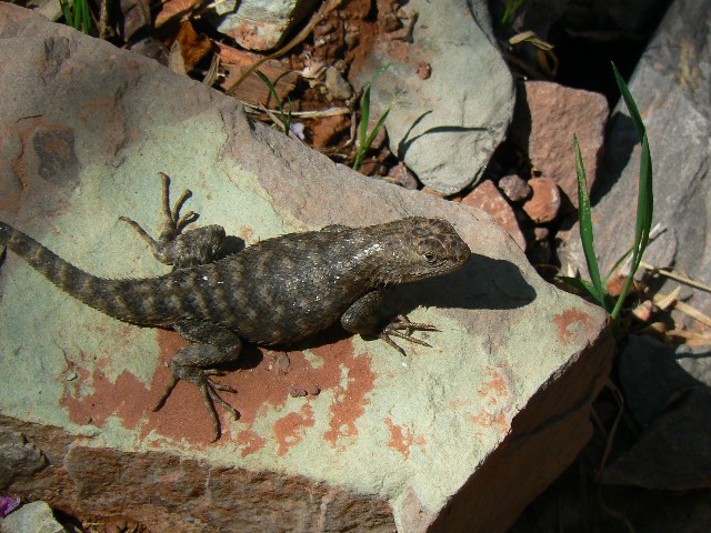
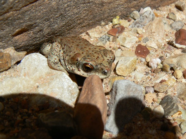
spiny lizard
(Click the image for a full-size view)
|
|---|
|
|
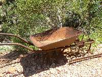
|---|
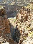
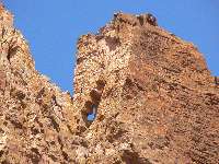
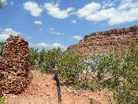
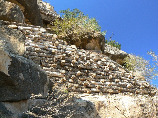
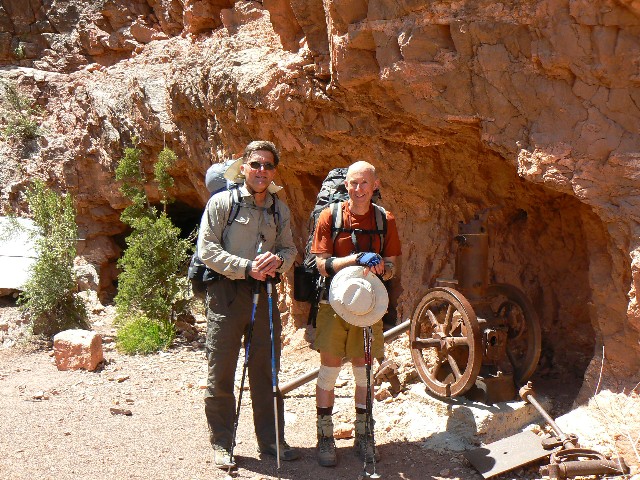
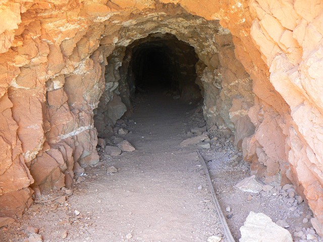
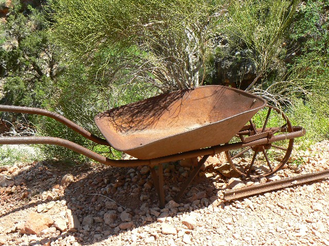
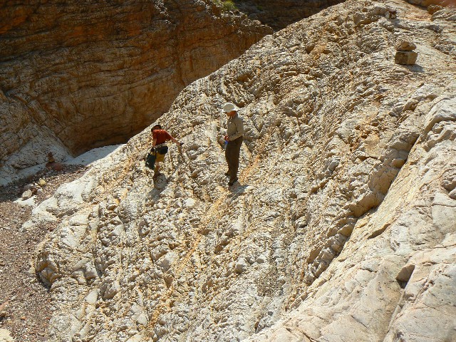
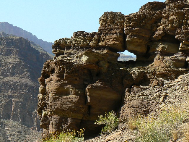
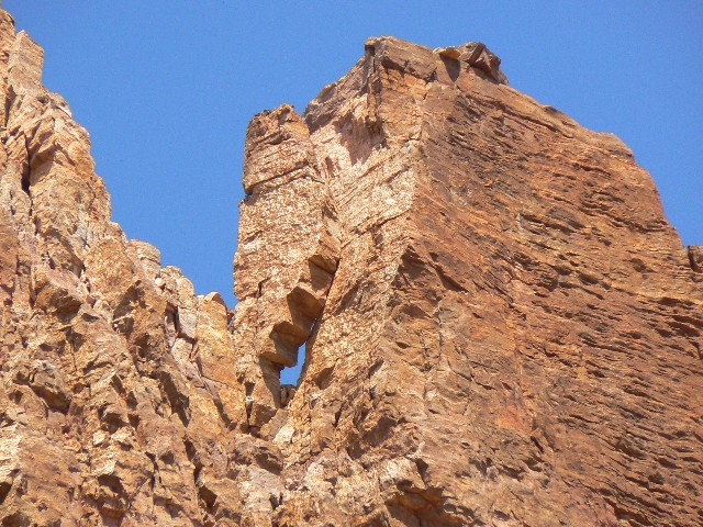
more - Last Chance Mine
(Click the image for a full-size view)
|
|---|
|
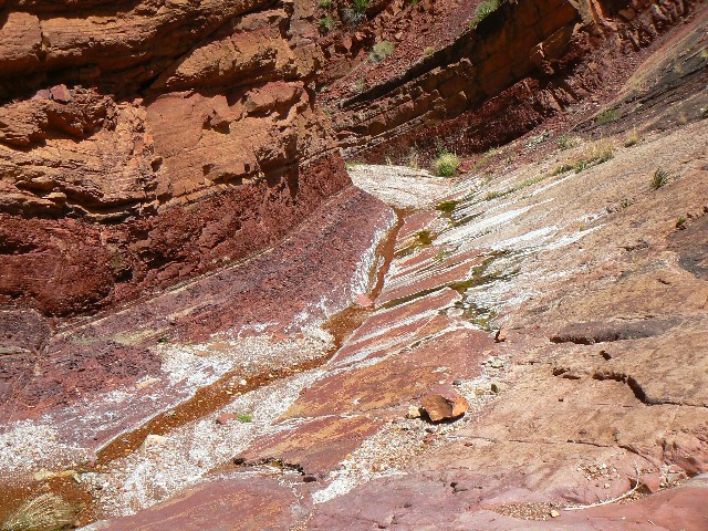
|
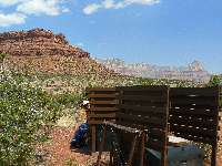
|---|
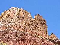
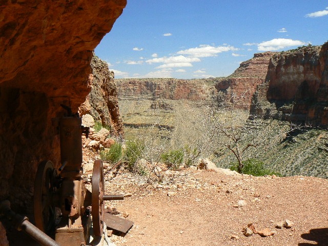
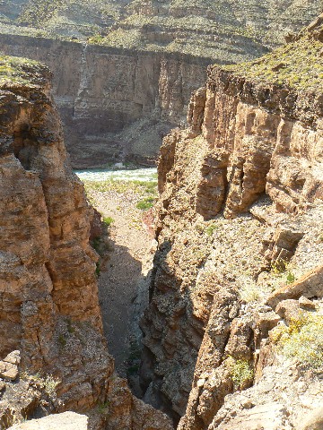
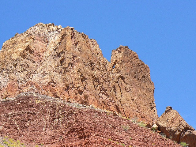
route - Last Chance Mine
(Click the image for a full-size view)
|
|---|
|
|
|---|
Page or Miner sp.
(Click the image for a full-size view)
|
|---|
|
(There are - More photos below the trip narrative.)
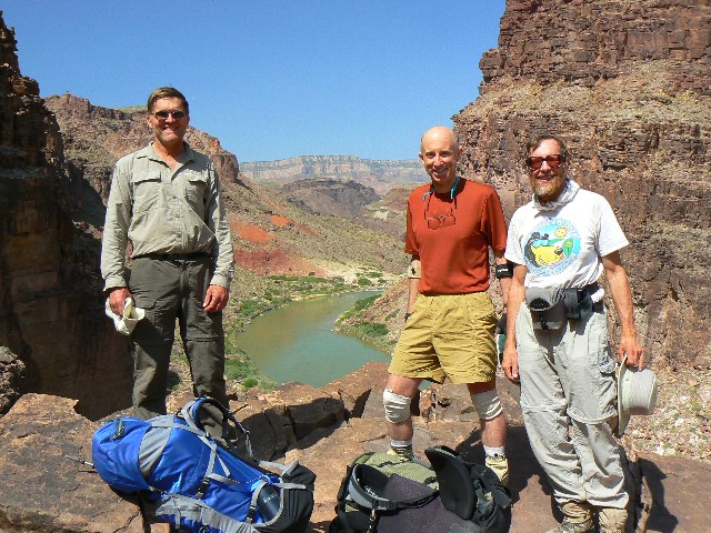
Day 1: Sheepish Plummet: Grandview TH to Hance Creek
Hurricane. 6.0 miles, ERM = 15.0.
Mountain Sheep-sounding frogs bleat and utter their
amphibian utterances as Bob G. soaks spaghetti and Craig M. prepares for the nightly
reading of Desert Solitaire. Gusts of Hance Hurricane whisk Cottonwood leaves about
our camp in Hance Cr. Canyon, below the wandering Tonto Trail.
Click here to: Hear the committee in support of natural quiet in the GC. (MP3 file; 192kb)
We started at a reasonable hour, Craig and I having
hiked out from the Bright Angel (Indian Gardens) less than 24 hours ago, on the
Hermit Hiatus.
Click here to see the Hermit Hiatus.
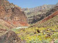
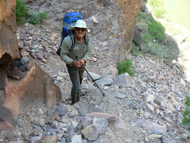
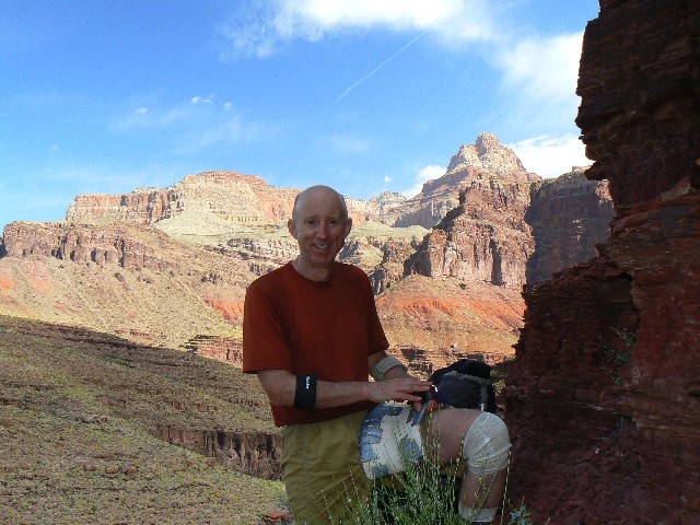
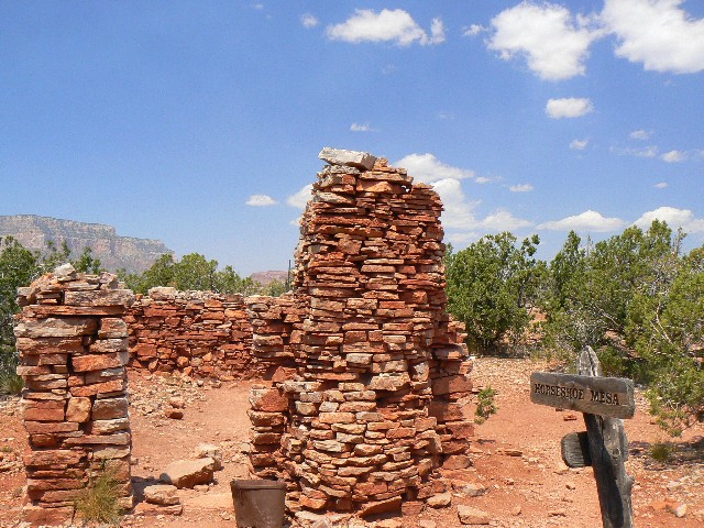
Plunging on the Grandview Trail, we three tote
large packs and make good use of our poles. Finally, Horseshoe Mesa, where we
peel off the East side and really descend - through the Redwall layer, past Last
Chance Mine (tunnel, old gas engine), and to lunch at Miner's Spring. Down more
to meet the Tonto - then into and down Hance Cr., far enough to escape the flying
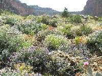
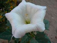
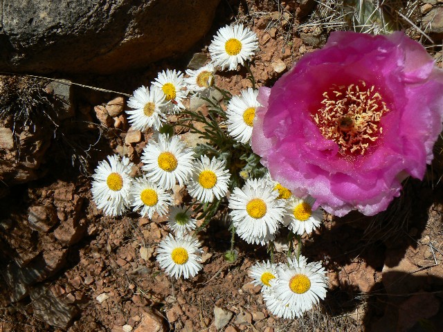
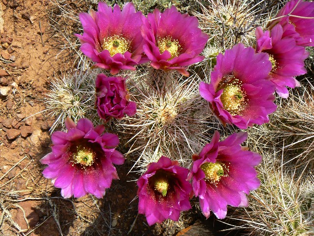
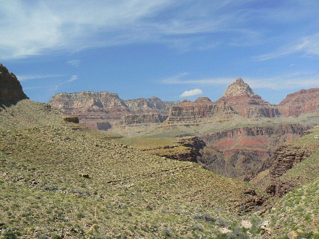
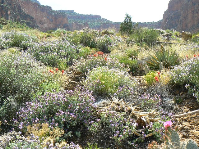
sand of the upper camps. The Tonto layer is replete with flowers and a fragrant
Lavender/sage combo drifts by with the hat-sailing breeze.
Now, nestled in the folds of Tapeats SS, Bob and I
enjoy Craig reading from Abbey's seminal work while a surround-sound of froggies bleat.
It's cool enough for long pants and a pile top.
Click here to: Hear the committee in support of natural quiet in the GC. (MP3 file; 192kb)
|
|---|
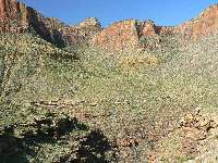
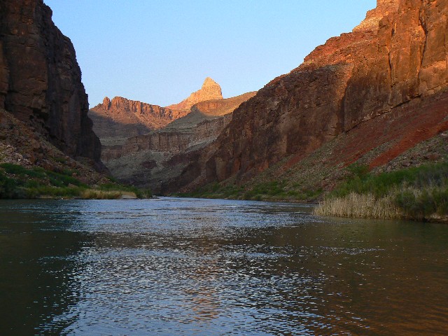
day 1-view across Tonto
(Click the image for a full-size view)
|
|---|
|
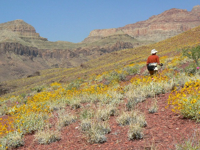
|---|
day1-bouquet4
(Click the image for a full-size view)
|
|---|
|

|
|---|
day2 Escalante Butte1
(Click the image for a full-size view)
|
|---|
|
|
|---|
day2 Escalante Butte2
(Click the image for a full-size view)
|
|---|
|
|
|---|
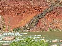
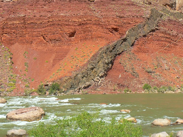
Fault & dike Red Can1
(Click the image for a full-size view)
|
|---|
|
|
|---|
Fault & dike Red Can2
(Click the image for a full-size view)
|
|---|
|
|
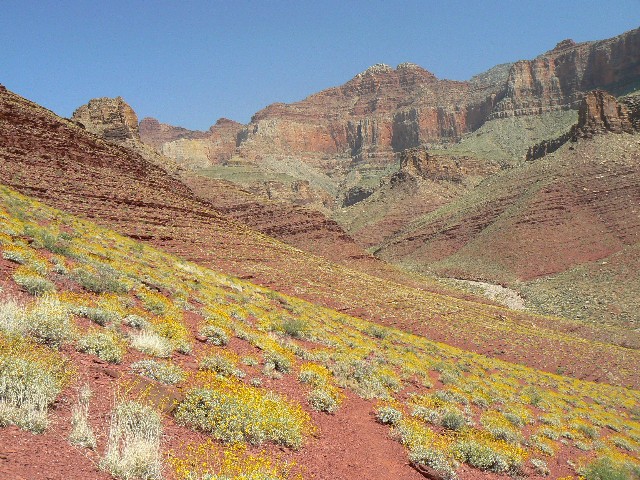
|---|
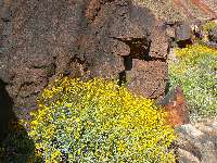
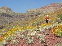
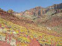
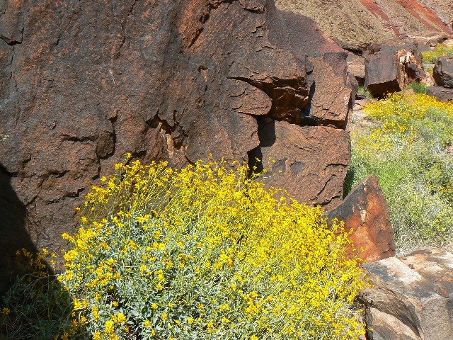
flower contrast
(Click the image for a full-size view)
|
|---|
|
|---|
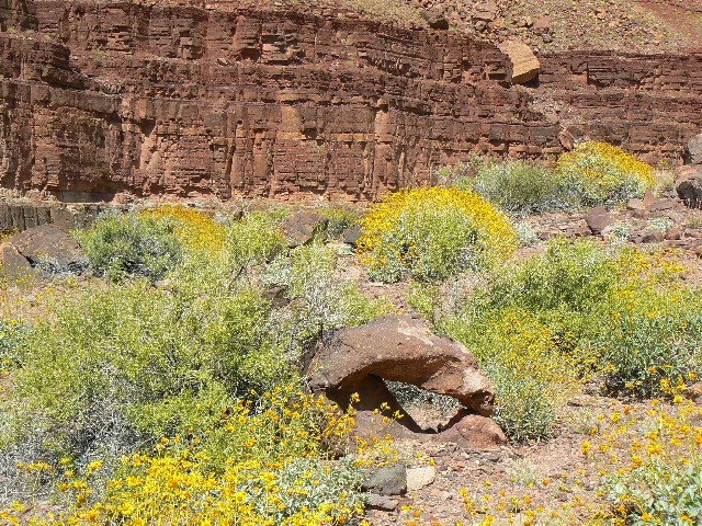
flower terraces
(Click the image for a full-size view)
|
|---|
|
|
|---|
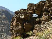
day2 Snapper Arch
(Click the image for a full-size view)
|
|---|
|
|
|---|
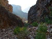
West of Red Can.
(Click the image for a full-size view)
|
|---|
|
|
|---|
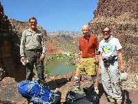
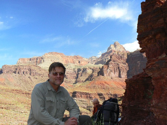
day3 - 3 guys - top of Papago
(Click the image for a full-size view)
|
|---|
|
|
|---|
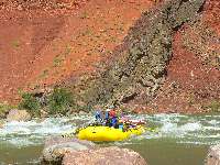
day3 Papago mouth
(Click the image for a full-size view)
|
|---|
|
(There are - More photos below the trip narrative.)
Day 2: Tonto Terminus: Hance Creek to Red Canyon.
6.9 miles, ERM = 13.
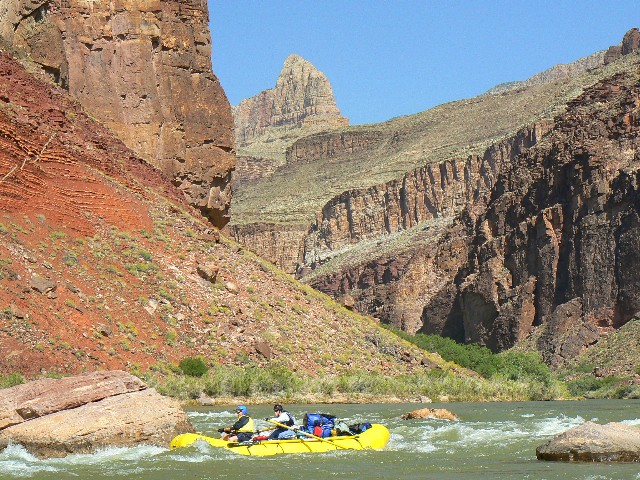
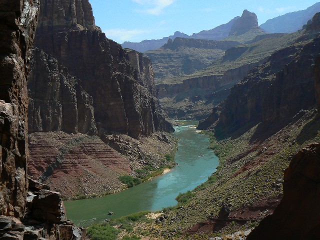
The River roars through the rocks of Hance Rapids at
the mouth of Red Canyon and the wind shifts sand at the small upper beach. We are
reclining in the boulders' shade as local sunset approaches.
Today, we cached a dinner and some breakfast and
lunch bits in a tin as we climbed out of Hance Cr. and began the Tonto roll. Beneath
Ayers Point we contoured, then dipped through the saturated red seashore rocks of the
Dox layer into Mineral Canyon for lunch. Flowers galore! A field of burnt-looking
boulders preceded our descent into Red Canyon, where we see the first people of the day.
Some boaters scouting the rapids and a hiker looking for companions who have slogged
across the Escalante Route from Cardenas Creek.
A coldest water on earth quick dip and some laundry
and it's journaling time. Wild rice pilaf.
|
|---|
day3 Papago mouth - Bob
(Click the image for a full-size view)
|
|---|
|
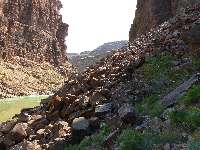
|---|
day3 Papago Slide1
(Click the image for a full-size view)
|
|---|
|
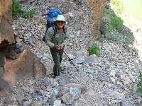
|
|---|
day3 Papago Slide2
(Click the image for a full-size view)
|
|---|
|
|
|---|
day3 Papago Slide view
(Click the image for a full-size view)
|
|---|
|
|
|---|
day3 Papago Wall1
(Click the image for a full-size view)
|
|---|
|

|
|---|
day3 75-mile1
(Click the image for a full-size view)
|
|---|
|
|
|---|
day3 75-mile2
(Click the image for a full-size view)
|
|---|
|
|---|
day3 75-mile3
(Click the image for a full-size view)
|
|---|
|
|
|---|
75-mile tapestry
(Click the image for a full-size view)
|
|---|
|
|
|---|
day4 75-mile1
(Click the image for a full-size view)
|
|---|
|

|
|---|
day4 75-mile2
(Click the image for a full-size view)
|
|---|
|
|
|---|
day4 75-mile3
(Click the image for a full-size view)
|
|---|
|
(There are - More photos below the trip narrative.)
Day 3: Hide of republican (republi-hide); Papago Wall
and 75-mile: Red Canyon to
75-mile beach. 2.3 miles + 2 miles exploration = 4.3 miles, ERM = 6.
The dull roar of Nevill's Rapids lilts up the deeply shadowed, sinuous republican
hide 75-mile canyon as we take turns toting the 2.5 gallons of mineral-laden water from
"Della" Spring back to our private beach at 75-mile. The polished Shinamo Quartzite looks
like elephant (republican) hide. Sadly, true republicans (who do not support wasting all
our resources on an unprovoked, immoral war, who do not support the gushing transfer of
wealth from the once-middle class to the very few wealthy elite) are as endangered as
elephants. From Bill Moyer's June 13, 2008 broadcast:
"The United States is the most economically stratified
society in the western
world. As THE WALL STREET JOURNAL reported, a recent study found that the top .01% or
14,000 American families hold 22.2% of wealth — the bottom 90%, or over 133 million
families, just 4% of the nation's wealth."
Click here -
Read and listen
to the entire Bill Moyer's piece on "Gilded Ages," the ever-growing economic inequality
and iniquity, that is - the wealthy elite and corporate welfare.
We started the day hiking leisurely through tammies and willows to the boulder
scree ramp around the Shinamo Quartzite protrusion into the River - a cliff face. A short
dalliance, accompanied by a bit of pure gription, leads us to the top of the famed Papago Wall.
We passed down packs, then scrambled easily down to the
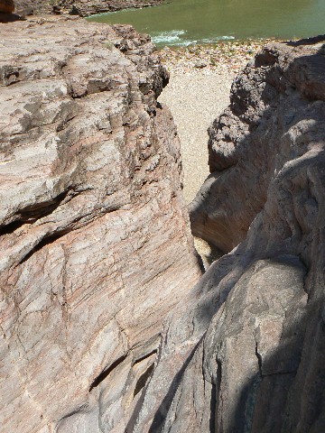
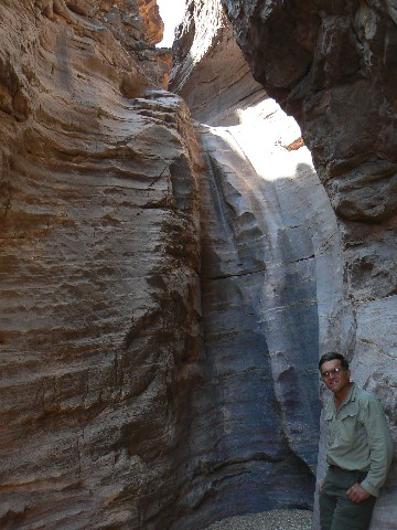
narrow, polished quartzite opening of Papago Creek. It's narrow and cool directly below
this dry fall - an excellent spot for a snack. Then, up on sloping ledges and over to
the extended rocky beach below 75-mile. No real beach - so we won't be fed by rafters.
The would-be-a-beach front is clogged with vegetation, providing a screen from the sun
and wind, yet no good rafter access.
We hike up 75-mile, looking for the next obstacle -
a delightful canyon. A half
mile or so up the canyon we come to a low falls (4' today - reputed to be an obstacle
at times) and above it the route goes out by the fading trickle of a spring. The climb
is a stair-step and easy. The route then loops back Tonto-like to high above the mouth
of 75-mile, and beyond.... The difficult part turned out to be the "Papago Slide" West
of the Wall. The crux of the crux day. Spaghetti with pesto sauce, olive oil and
parmesan cheese.
|
|---|
day4 75-mile4
(Click the image for a full-size view)
|
|---|
|
|---|
day4 75-mile5
(Click the image for a full-size view)
|
|---|
|
|
|---|
Mooner
(Click the image for a full-size view)
|
|---|
|
|
|---|
Escalante Completion
(Click the image for a full-size view)
|
|---|
|
|
|---|
Escalante Completion
(Click the image for a full-size view)
|
|---|
|
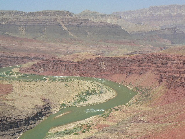
|
|---|
Unkar View
(Click the image for a full-size view)
|
|---|
|
|
|---|
day4 75-mile return
(Click the image for a full-size view)
|
|---|
|
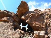
|---|
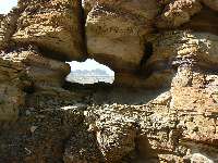
dryfall arch1
(Click the image for a full-size view)
|
|---|
|
|
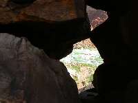
|---|
dryfall arch2
(Click the image for a full-size view)
|
|---|
|
|
|---|
3 guys in 75-mile
(Click the image for a full-size view)
|
|---|
|
|
|---|
day4 mouth of Escalante Cr.
(Click the image for a full-size view)
|
|---|
|
|
|---|
day5 GC Froggy
(Click the image for a full-size view)
|
|---|
|
(There are - More photos below the trip narrative.)
Day 4: Escalante Completion: Day hike 75-mile
to trail end from last year (see
the Bodacious Beamer report). 11 miles, ERM = 23.
The two vultures float overhead, touch down around the bend in the
trail, then soar back for more inspection. Do I smell that bad? Do they see
something I cannot? Rolling around the rocks, I'm approaching the spot in the
trail where we hiked from Tanner foot last year on the Bodacious Beamer. There
it is - Escalante Route Completion! Jubilation.
Click here -
Bodacious Beamer report.
It's been a long day already - up and out of 75-mile, along
the Tonto
look-alike above 75-mile and over to Escalante Creek, where we turned up canyon
and hiked to the low dry falls, then turned West and headed up and around a large
dry falls in the West arm of Escalante. See the map below.
Up and up we roll around and through the arm far above, then continue
climbing up reddish slopes decorated with Brittle Bush. Around a nose and to a
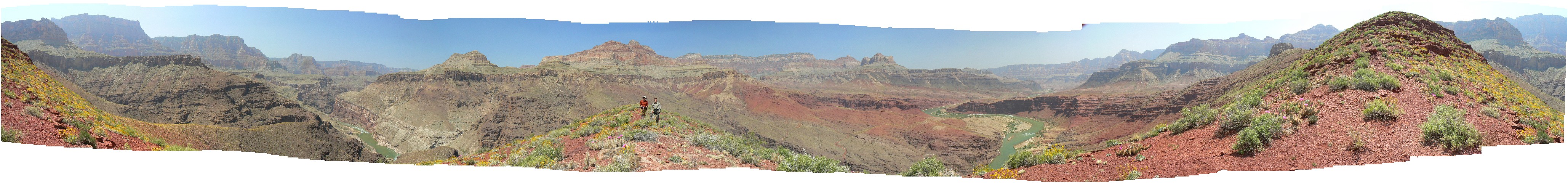
fabulous view - see the opening panorama from Hance Rapids to Unkar, points galore.
Then, the narrow route, edged into the slope (the fabled "boot width" trail),
continues below a toothy ridge towards its descent to the Unkar overlook and
Cardenas and finally the foot of Tanner Trail. I make it to where it becomes
more civilized as it heads for the ruin above Unkar (see the Bodacious Beamer
report for a panorama including this ruin). Craig and Bob have headed back
and I feel enervated as I begin returning over the long red slope bump into
the Escalante drainage. There is an archlette by the high dry falls.
Spaghetti a la Bob with sausage. Yum.
|
|---|
day5 Papago Wall view
(Click the image for a full-size view)
|
|---|
|
|---|
day5 view from Papago Wall
(Click the image for a full-size view)
|
|---|
|
|
|---|
day6 Rabbit Arch1
(Click the image for a full-size view)
|
|---|
|
|
|---|
day6 Rabbit Arch2
(Click the image for a full-size view)
|
|---|
|
|
|---|
day6 Red Can. alkali
(Click the image for a full-size view)
|
|---|
|
|
|---|
day6 Red Can. spring
(Click the image for a full-size view)
|
|---|
|
|
|---|
Red Can. Zigzag Arch1
(Click the image for a full-size view)
|
|---|
|
|---|
Red Can. Zigzag Arch2
(Click the image for a full-size view)
|
|---|
|
|
|---|
view from Rabbit Arch
(Click the image for a full-size view)
|
|---|
|

|
|---|
day7 Vishnu view - Bob
(Click the image for a full-size view)
|
|---|
|
|
|---|
day7 Vishnu view - Craig
(Click the image for a full-size view)
|
|---|
|
|
|---|
day8 Horseshoe Mesa1
(Click the image for a full-size view)
|
|---|
|
(There are - More photos below the trip narrative.)
Day 5: Papago Slide: 75-mile to Red Canyon. See Day 3
for distances.
Today we begin the return to Grandview Point.
The moderate weight of the pack pulls back, but it's
the front-mounted
camera that pushes me out from the native rock, causing me to literally grind to
a stop on the top move of the Papago Wall. Argh. I slip off the pack and boost
it to the top of the move, switch the camera to my back and slither up the last
course of the Wall. Climbable with a moderate pack, I conclude. Craig and I
explore up Papago Canyon, going a bit high on the West wall at the Papago entrance
to surmount the series of polished dry falls. Its a gorgeous canyon, but not
comparable to the delight of 75-mile. A red-spotted toad (?) greets us, yet
otherwise this is a quiet area. Continuing around the corner, we are again
entertained by the Papago Slide - which we christen the crux move of the trip
because it's basically a giant talus slope at a high angle of repose.
We lounge in the quiet coolness against the wall at
the foot of the
Slide before continuing to Red Canyon. This time, we camp in the Mesquite
veranda just East of the canyon outlet, wonderful except that we have no view
of the tiny beach at the head of Hance Rapids - a place where sandwich scows
might pause for lunch. We did procure 3 beers from the AZRA group that stormed
our camp as we were leaving this morning.
As of now, we have used 3 water treatment
methods: UV steri-pen, filter, aquamira.

|
|---|
day8 Horseshoe Mesa2
(Click the image for a full-size view)
|
|---|
|
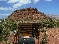
|---|
Horseshoe Mesa scenic toilet1
(Click the image for a full-size view)
|
|---|
|
|
|---|
Horseshoe Mesa scenic toilet2
(Click the image for a full-size view)
|
|---|
|
Day 6: Dead Redconing: Day hike Red Canyon to
spring, also Red Rabbit Arch.
6.5 miles, ERM = 12.
Tinkling sounds of clear water greet me as I
approach the lone Cottonwood
in the polished red slate (?) stream course. Ahh, a spring near where the New Hance
"trail" meets Red Canyon drainage. Refreshing.
Tinkling sounds of clear water greet me as I approach
the lone Cottonwood
in the polished red slate (?) stream course. Ahh, a spring near where the New Hance
"trail" meets Red Canyon drainage. Refreshing.
I started out the day by hiking 500' up and over .5 mile
to photograph 'Red
Rabbit Arch,' which can be seen (especially in the late afternoon) from where Red
Canyon meets the River. Whew.
Then, up the canyon to explore - Craig spies another
arch - no climbing to
it. A short nap in the shade of the skimpy tree, then down in the heat to camp
for a wash in the River and to filter mass quantities of water for tomorrow.
Sheltered fairly well in our veranda camp, we enjoy the beer
procured at
75-mile - which has been luxuriously cooled in a rat sack in the cold Colorado.
As the song goes "Wild country, warm woman, cold beer, and a song." Most we have.
Craig and I go down to the beach to talk with rafters
and we are invited
to pork chop dinner. Yahoo. Heavenly pork chops of biblical proportions.
With baked beans, cole slaw and applesauce. Yum.
It was a warm night and there must be rain in the home
of the Dine'
- because the river turns a split pea color overnight.
Day 7: Tonto Burning? Red Canyon to Hance Creek
Smoke Out. See Day 2 for distances.
The walls turn orange as another billow of smoke
plows by overhead, and
breathing becomes a bit more republican (health restricted for a few). We are
back at our Cottonwood camp at Hance Creek, serenaded by the vocal tree frogs.
Today, we again joined the Eastern terminus of
the Tonto and hiked the
flower-infested ramps to Hance Creek. Several yuccas began blooming since we
were last here. It is a hot day. Bob says "don't be down here after Hitler's
anniversary - he was married on April 29th" and it's hot to remind folks of hell
on earth, as in Hitler and bushco.
Wind howls down canyon and smoke puffs by as we
enjoy vegetarian lasagna
and couscous soup. And, another in our series of a swig for Zig - he's bicycling
the Southern Tier Route.
Click here to see Zig on the
Southern Tier. Riding across the southern US, 2311 miles.
Day 8: The Long Way Home. 9.2miles, ERM = 20.5.
The trail is quiet out here on the Tonto sweep and
the wind shrieks -
literally blowing me off the trail as we loop the Tonto around to the North side
of Horseshoe Mesa. We climb quickly, then we are on the historic switchbacks to
the mesa. A scenic toilet. Photogenic. Rest, then start the grind to the top.
Up and up, seeing only 4 hikers - because of
the fire? We are mobbed by
Chinese tourists - who all want their photos taken with Bob. Quite a jolting
return from an excellent adventure to the land of motors and the disruption of
natural quiet by electronics of all shapes.
Links:

Click here
to see the first part of this GC adventure series. The Hermit Hiatus!
Click here to: Hear the committee in support of natural quiet in the
GC. (MP3 file; 192kb)


|
|---|
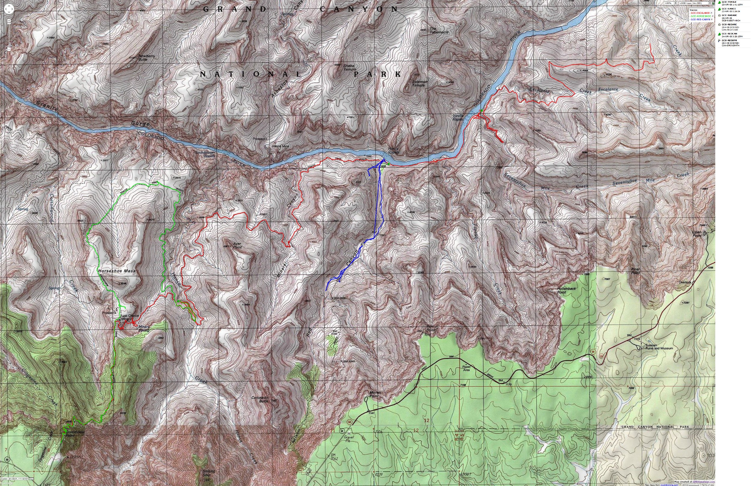
Map - GC: Grandview to Escalante Route; 2008; 53 miles
(Click the image to see the map)
|
|---|
|
If you want to view a full-resolution map, click here. Caution - do not use this map or gps track for
navigating the route.
Click here to see Doug's Rock Garden site about the Escalante Route.
Click here to see Zig on the
Southern Tier. Riding across the southern US, 2311 miles.
Other WV reports about the Grand Canyon:
Click here or on the Looking Lizard to go to all WV reports about The Grand Canyon

|
|---|
Looking for All Wilderness Vagabond trip reports about the Grand Canyon?
Click the image to go to All WV reports about The Grand Canyon
|
|---|
|
| | | | | | | | | |


