|
Transcendental Trans-Tonto (TTT):
Tanner TH to South Bass ¢ about 114 miles (*ERM = 173; Energy Required Miles)
Transnavigation of the Tonto Trail and Escalante Route in The Grand Canyon - Tanner Beach / 75-mile / Red Canyon / Hance Creek / Grapevine / Lone Tree / Indian Garden (x 2) / Monument / Hermit Creek / Boucher Creek / Slate / Turquoise / Ruby / and South Bass
April 3 ¢ 18, 2010
Text
© copyright by Rob; and Photos © copyright by Rob
|
 |
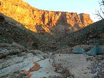
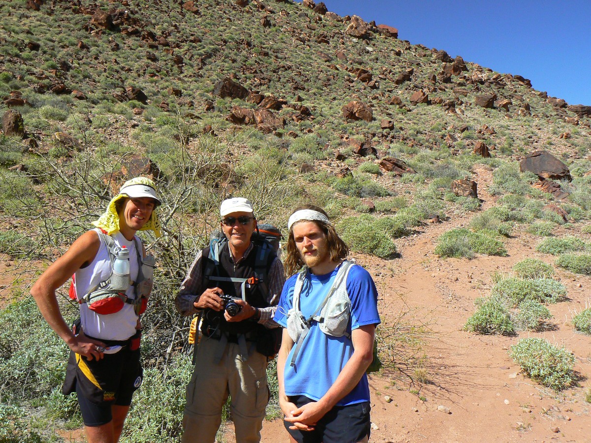
Co-Adventurers: Chris Winter (first section),
Dave Rumbellow and Mike Garvey (second segment), and Rob (entire TTT)
|
|---|
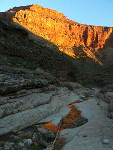
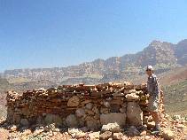
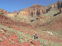
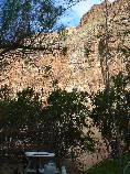
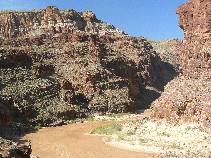
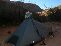
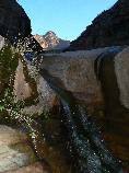
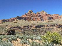
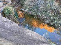
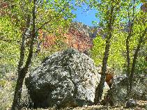
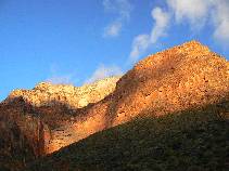
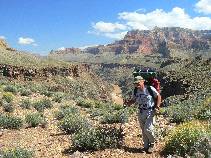
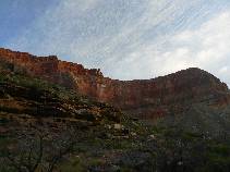
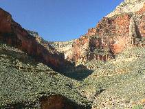
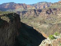
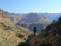
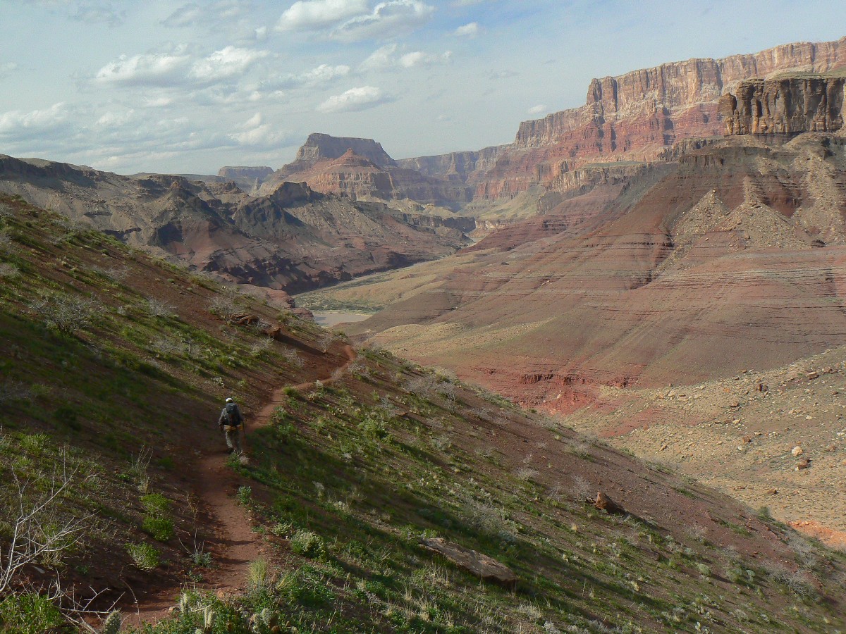
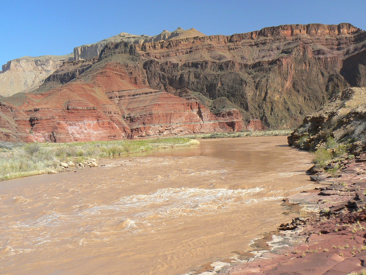
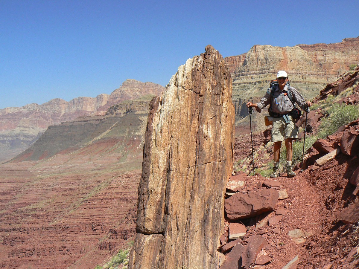
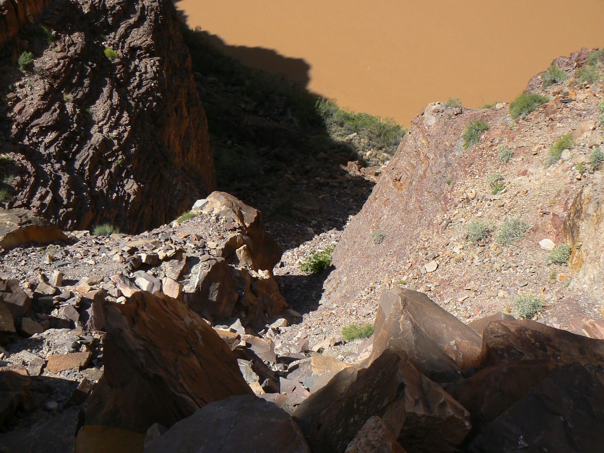
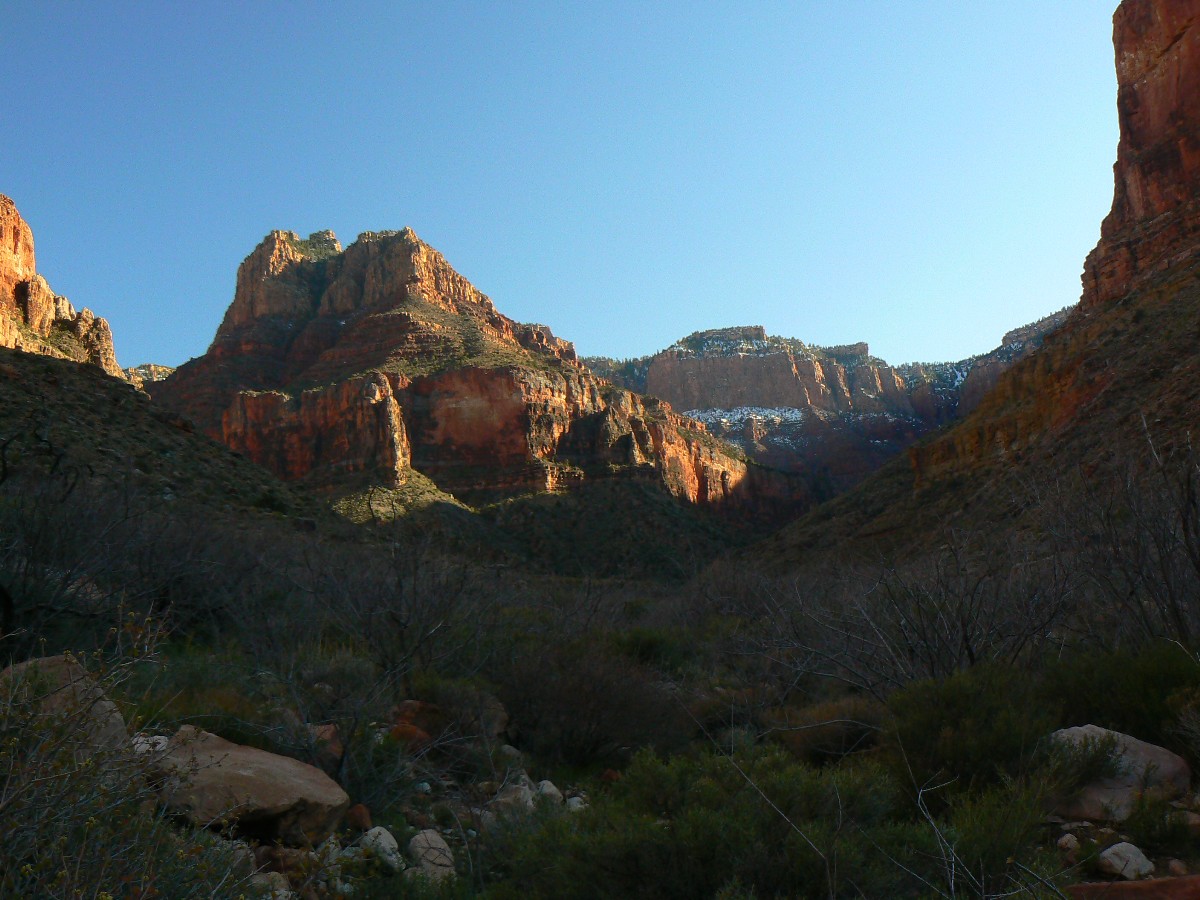
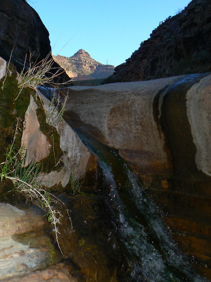
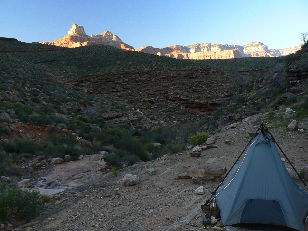
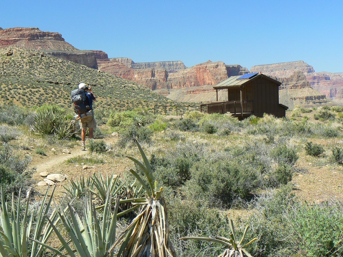
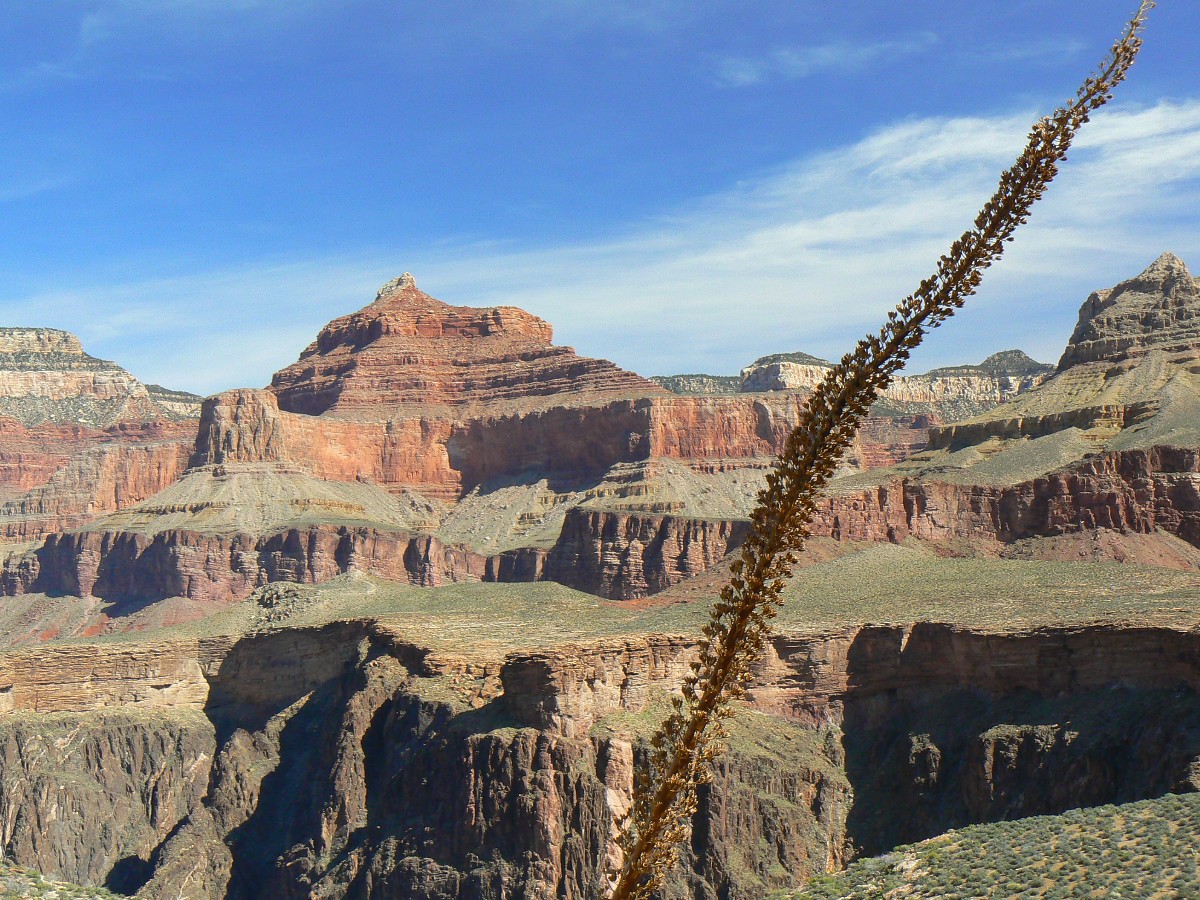
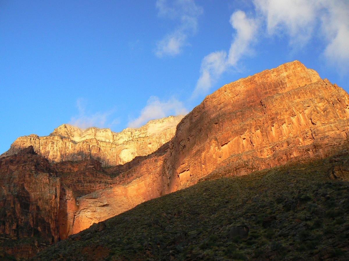
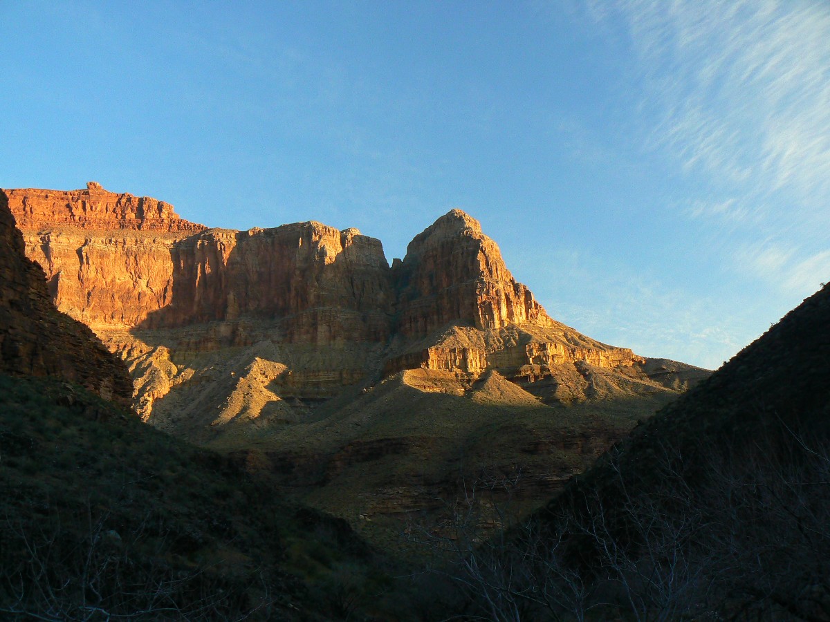
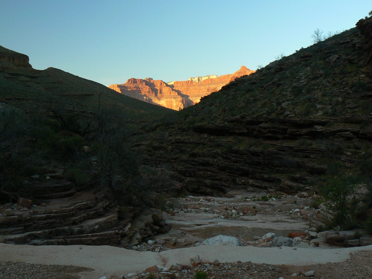
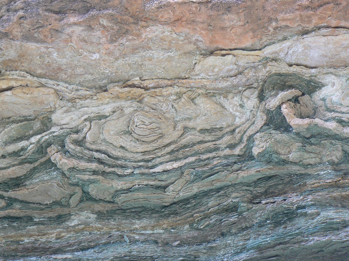
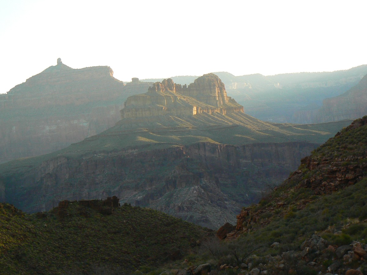
Morning at Grapevine on the Tonto East - Day 6
(Click the image for the full-size image)
|
|---|
|

|
|---|
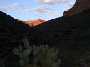
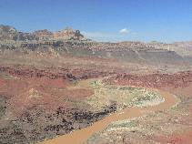
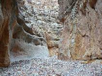
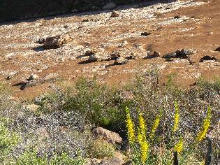
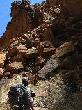
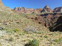
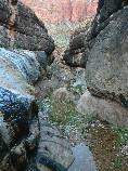
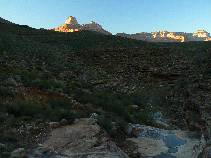
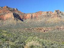
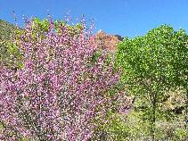
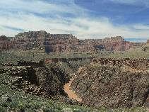
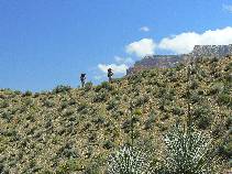
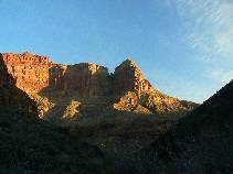
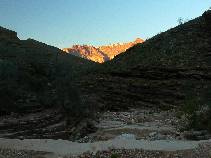
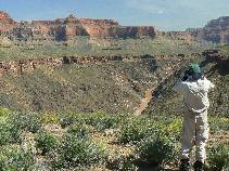
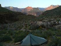
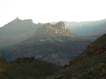
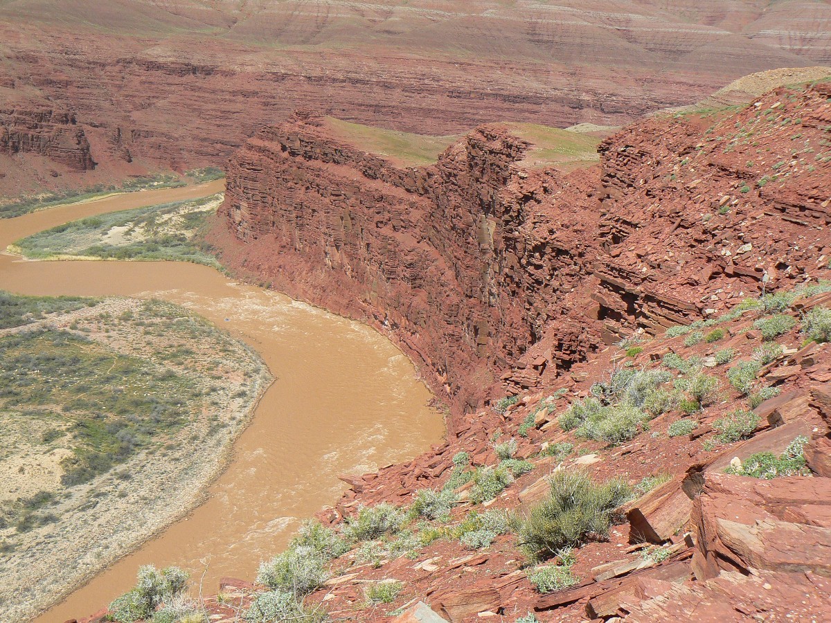
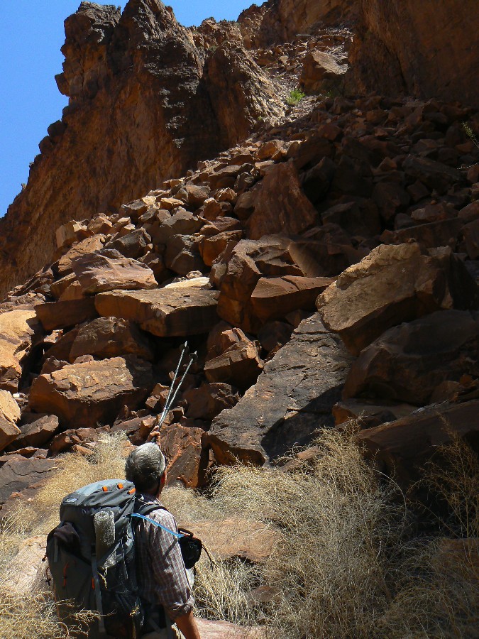
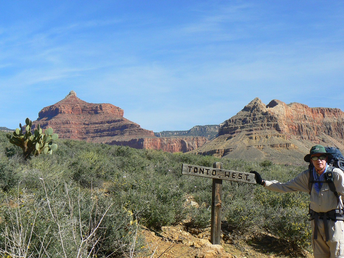
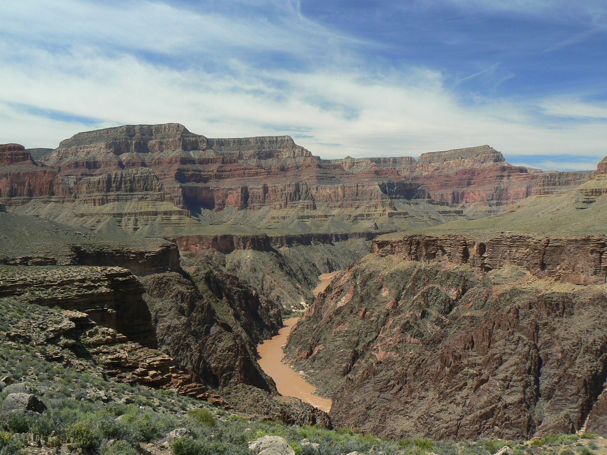
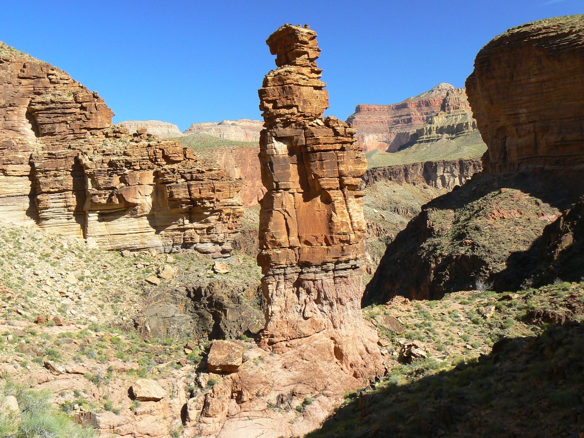
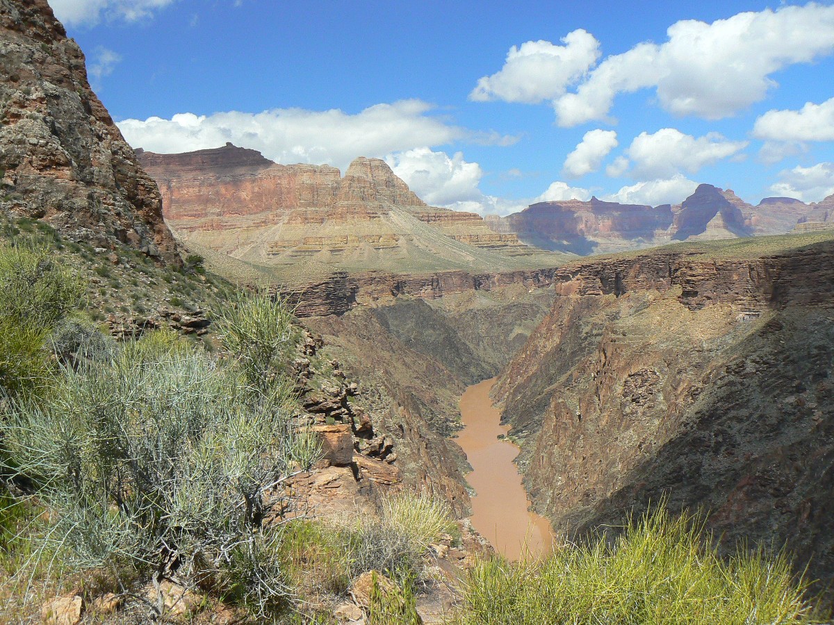
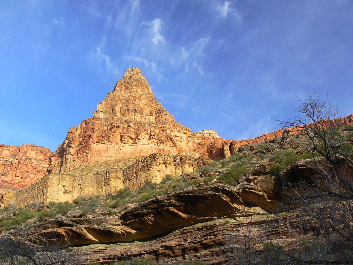
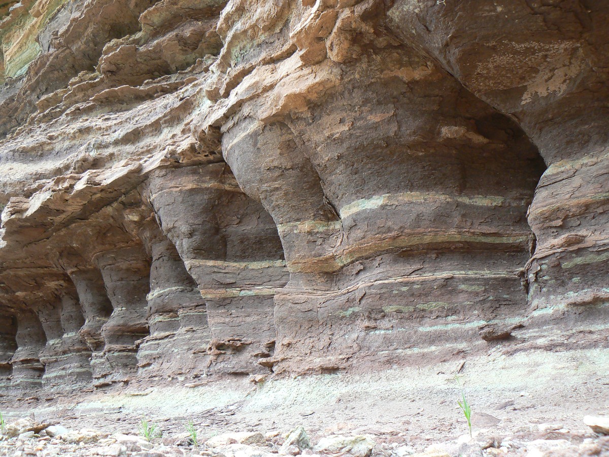
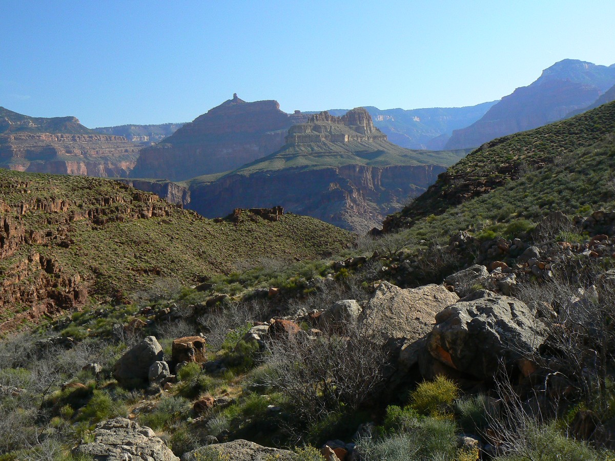
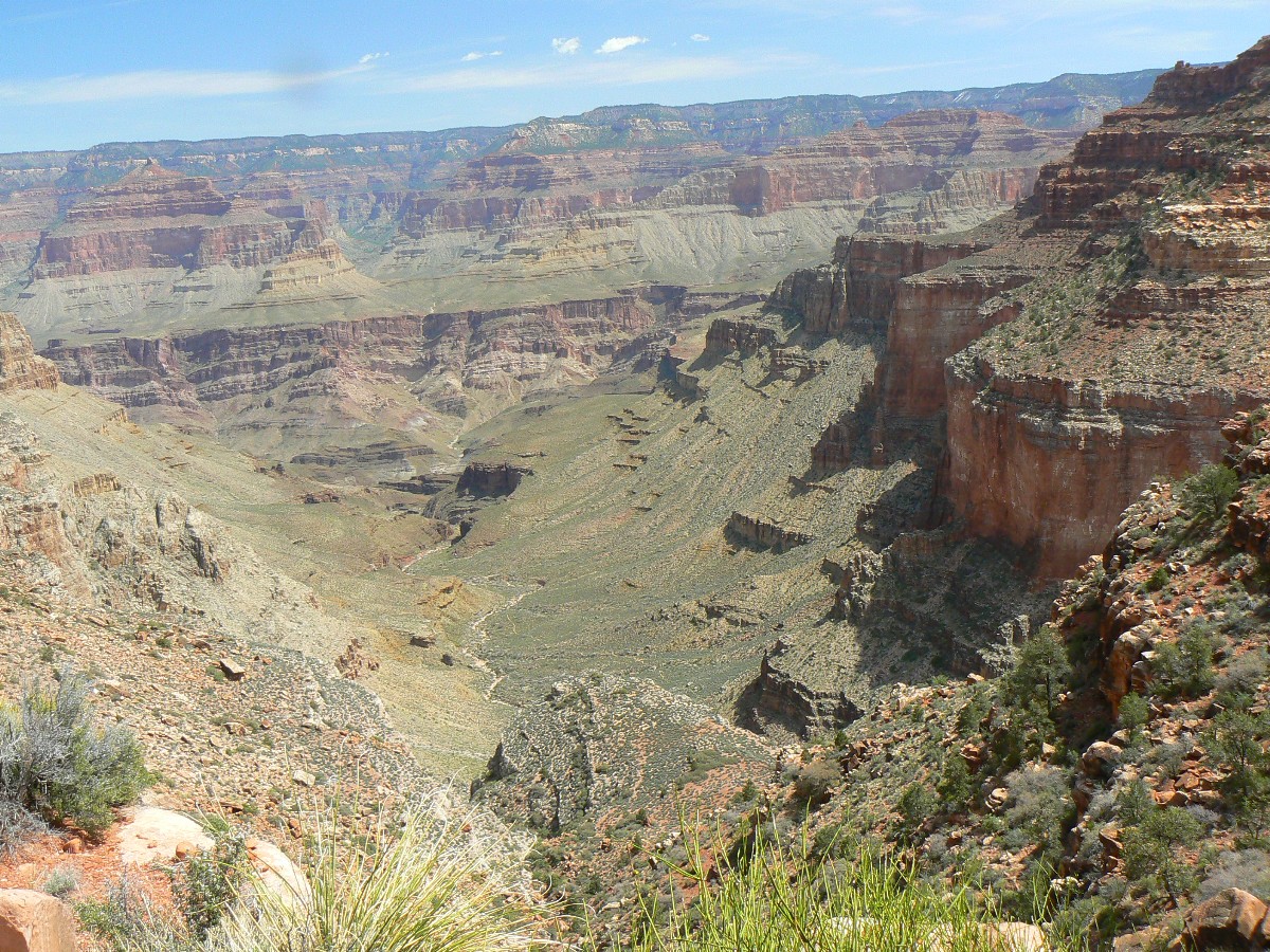
Transcendetnal Trans-Tonto - near Turquoise on the Tonto West - Day 13
(Click the image for the full-size image)
|
|---|
|
|
|---|
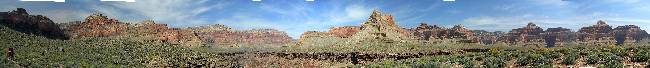
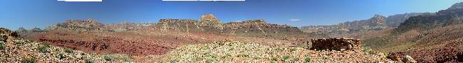
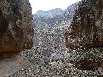
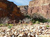
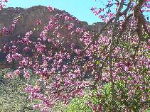
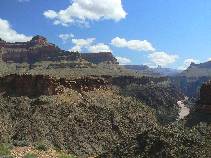
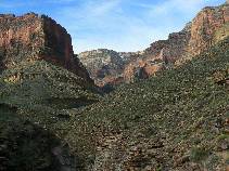
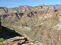
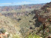
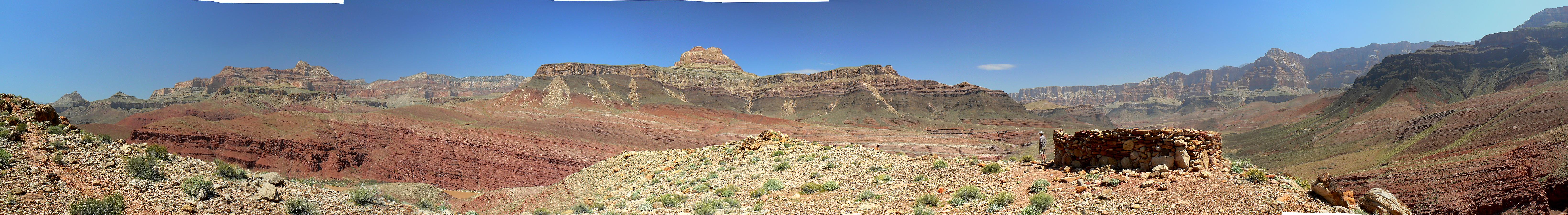
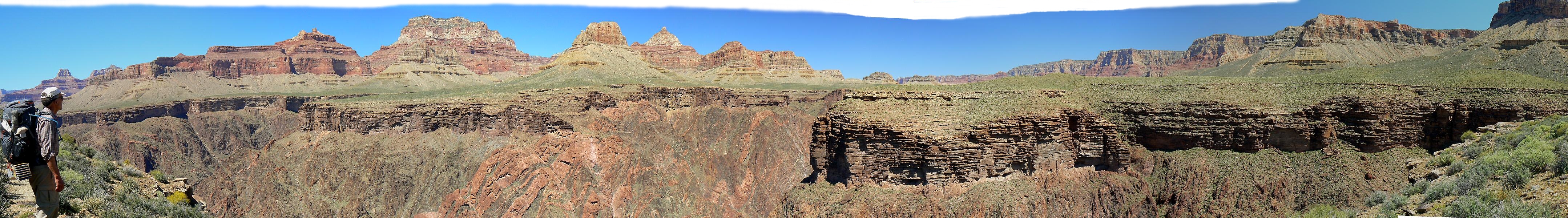
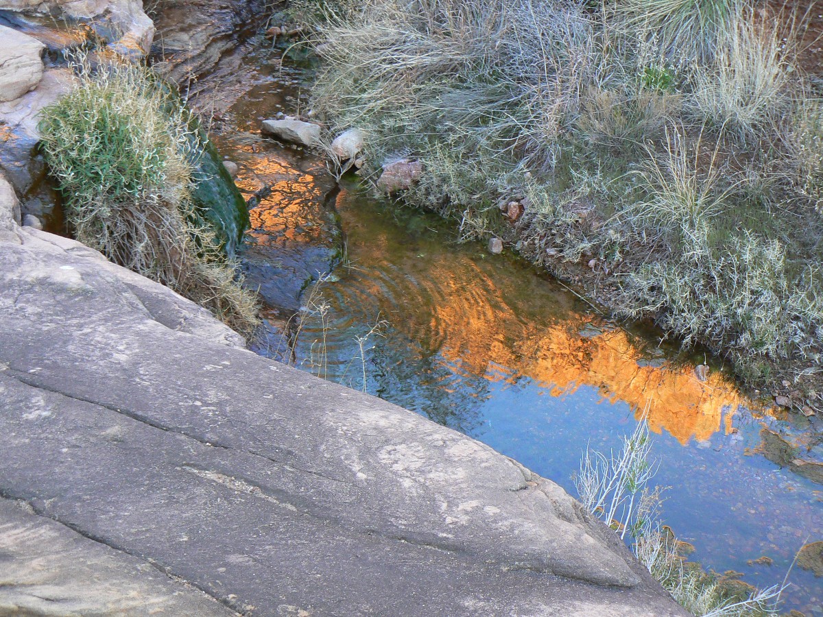
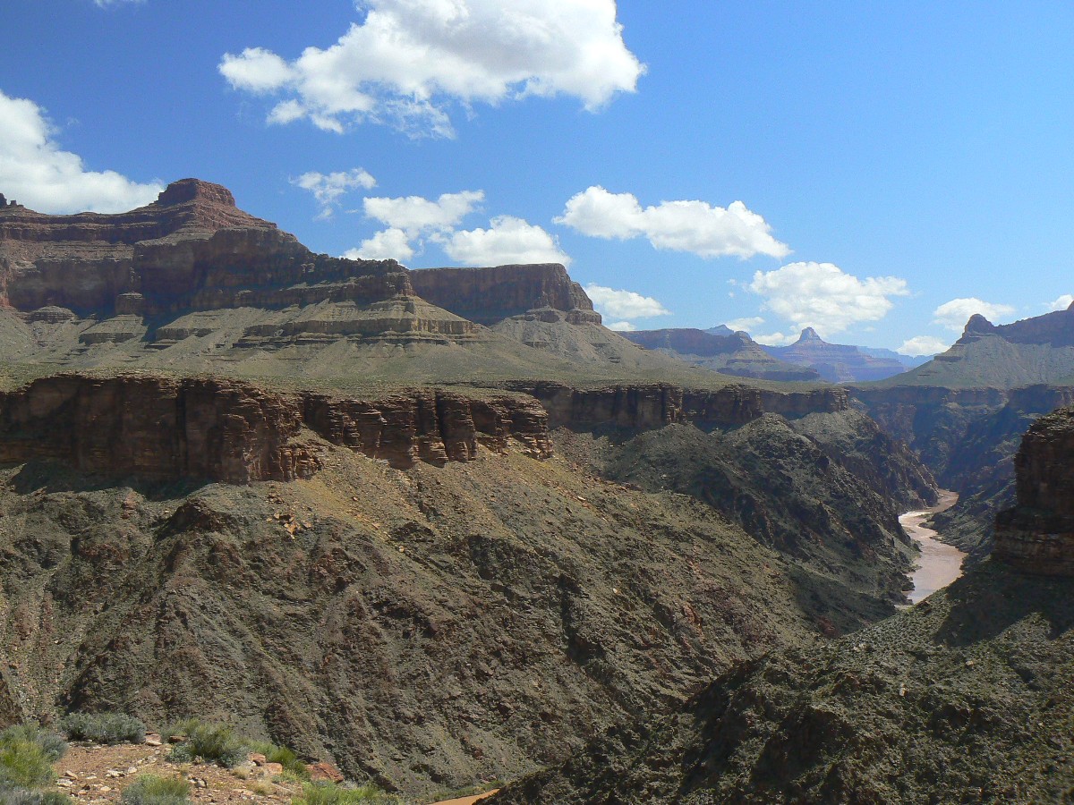
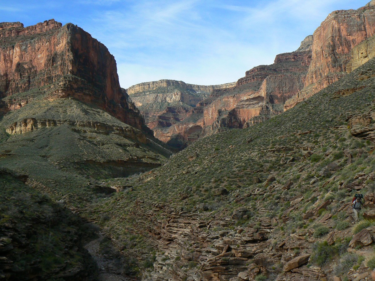
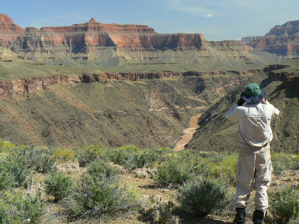
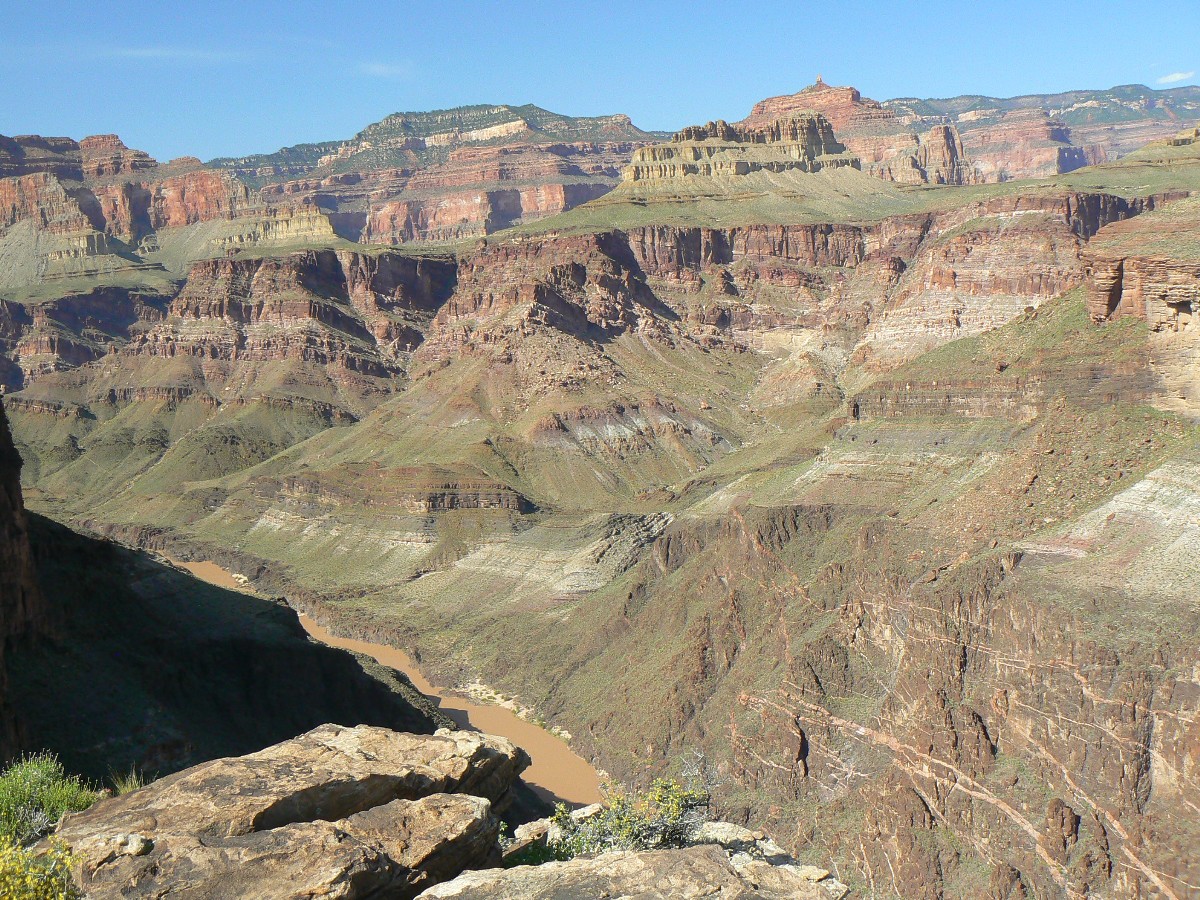
Panorama of The Tonto - from Day 13- near Turquoise Canyon
(Image is very wide and the file large - scroll to view it (8600 x 900; 1.8mb)
- Click the image for the full-size image)
|
|---|
|
ōIn every walk with nature one
receives far more than he seeks.ö
John Muir
ōThose who do, can.ö
Idaho Joe Smegma
|
|---|
Movie of Ruby Canyon near sunset - Day 14 - 28 MB
(Click the image to see the short video - 28 MB)
|
|---|
|
(There are - More photos below the trip narrative.)
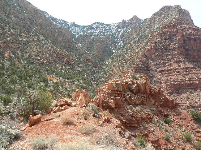
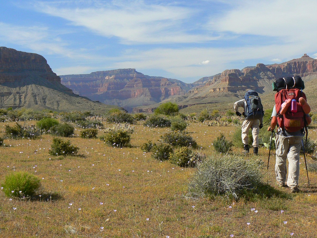
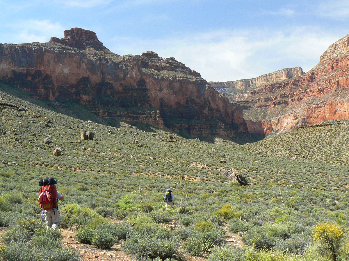
Overview: This is a report about backpacking the
Escalante Route (Tanner to Red Canyon) and almost all of the Tonto Trail
(Red Canyon to South Bass ¢ see notes about the whole Tonto in Day 16). For much of the way,
itÆs a lovely, lilting trail supported by the Tapeats Sandstone (see below), which allows
it to contour. Or, as I call it, to Tontour. Tanner to South Bass, a Transcendental ¢Trans
Tonto experience.
183 photos
3 panoramas
2 videos
1 map
1 (2 page) mileage chart
2 cartoons
5 arch directions
Transcendental = being beyond ordinary or
common experience, thought, or belief;
supernatural.
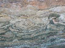
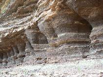
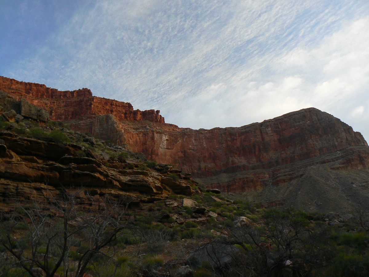
Tapeats Sandstone This layer averages about 545
million years old and is composed of medium-grained and coarse-grained sandstone.
Ripple marks formed by ocean waves of an early Cambrian sea are common in the upper layer.
The Tapeats is similar to the Redwall in that it forms a barrier between upper and lower
reaches of the Canyon that can only be traversed where a fault has caused its collapse. The
color of this layer is dark brown and it contains fossils of trilobites. brachiopods, and
trilobite trails.
Total miles = 114; ERM = 173. The hike up to the rim and back to
Indian Garden camp (resupply hike) is not counted in the mileage.
ERM = Energy Required
Miles. A mile is added for
every 500' elevation gain or loss. It's a very serviceable method of estimating
energy required miles.
A note about the mileages:
Distances are estimated rumsfeldian fashion, not accounting for known knowns or unknown
knowns or unknown unknowns, yet knowing that tall Canyon walls attenuate GPS accuracy
because that all-important horizon satellite cannot be "seen" by the receiver.


|
|---|
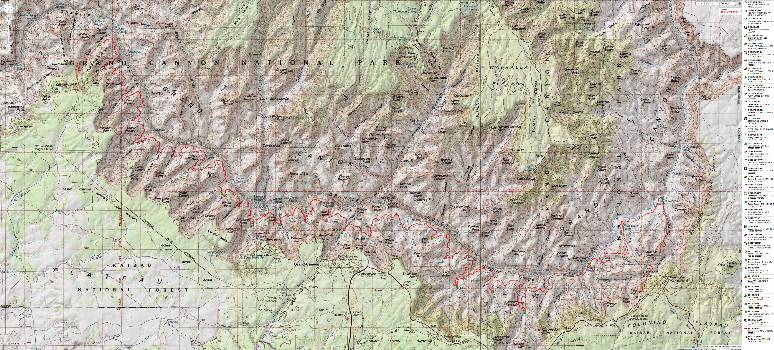
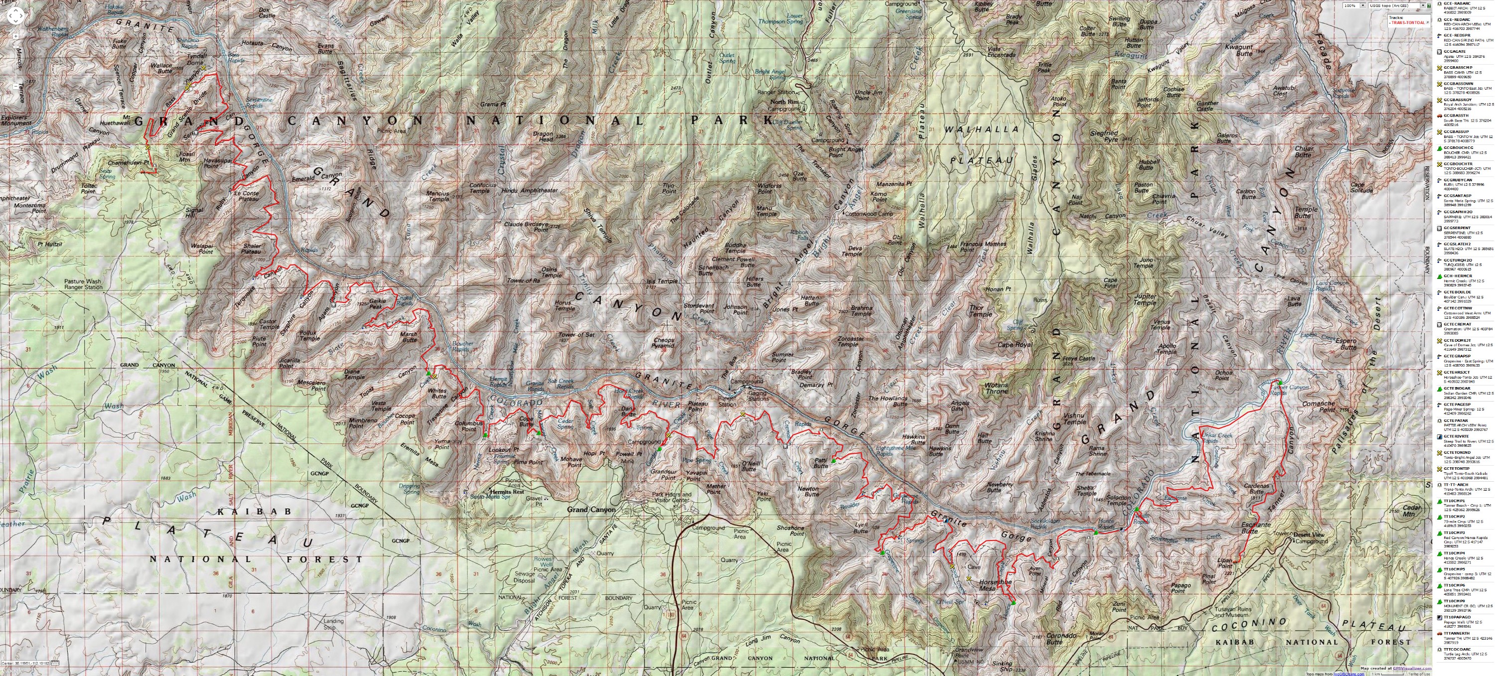
Map - GC: Transcendental Trans-Tonto; 2010; 114 miles
(Click the image to see the map)
|
|---|
|
for a full-resolution map, click here. Caution - do not use this map or gps track for
navigating the route.
Pre hike and start of Day 1:
I decided to hike the TTT because GC Park is changing
its permit process, and it will no longer be likely to get a trip of this duration with
as seamless a schedule. Sure, I've been contemplating the TTT for awhile....
Chris meets Kathleen and me at the GC backcountry office
and I shuffle food bags (stored in a rat sack) into the back of his truck. These food bags
and replacement gear (fuel, sunscreen, TP,
etc.) will be retrieved after the first trip segment. Kathleen shuttles us to Lipan Point (Tannner
TH) where the "real" existential experience begins.
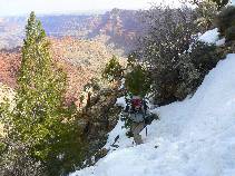
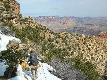
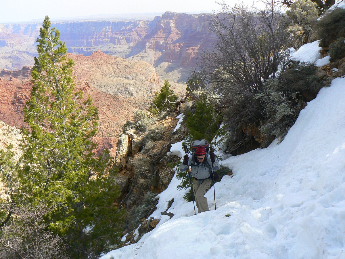
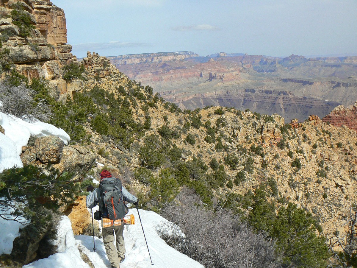
Day 1: Tenuous Tanner:
Tanner TH to The River;
8.2 miles; down 4850Æ; up 726Æ; estimated *ERM = 19.2.
The packed snow provides some foot holds and clues to where
others have post-holed their way into The Canyon. Right off the rim, Chris W. and I strap on
instep crampons and edge down into the great abyss. A half mile or so later we shed crampons,
gloves, insulation layers, and continue to negotiate the jarring steepness of the Tanner Trail.
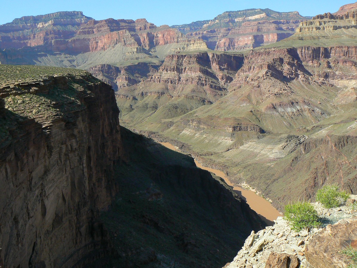
From vantage points, we see into the Beamer section, our
throats clogging while viewing the deep chocolate of River. With the Little Colorado River
(LCR) flowing strong, surging with snow melt, we are in for a ōwater situationö the first
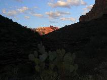
few nights of the TTT (Transcendental Trans-Tonto). Ick!
This morning - Chris W. and I meet at the backcountry office
and, after sorting equipment, Kathleen drives us to Lipan Point and the TH. We start the snow
slide sometime after 9 a.m., and are resting our bruised puppies a bit after 4 p.m. amidst the
warm wind and gathering clouds, backset by chocolate River, waiting for sediment to settle
from the water. Even with the addition of alum, we are waiting. Waiting while soaking up,
relishing in, the gritty ambiance of The Canyon. Chris and I sleep like river rocks, lulled
easily to sleep by the background throb of natureÆs heartbeat, today embodied by the Tanner
Rapids.
*ERM = Energy Required Miles. ERM was initially used in
Trails of the Tetons (long out of print) by Paul Petzold, founder of NOLS. It's a wonderfully
useful concept and application. Add one mile for each 500' up AND down to distance = ERM. I
use ERMs to calculate what the actual day is like.
Distances noted in this report are taken from my Garmin GPSmap 60CS,
and are not presumed to be entirely accurate. We are in The Canyon, after all, which attenuates
signals at times, notwithstanding the sampling errors inherent in field GPS units. Also, yes my
math is rounded and not totally true. Then again, I talked with Lon of the Backcountry Office who
noted that some of the distances in their chart are produced by estimation.
Click here to see the NPS trail distance estimates (two pages) for the Tontour.
Note: The first portion of this hike, from Tanner to Red Canyon,
is along the Escalante Route. The Tonto Trail begins at Red Red canyon and continues to Garnet
Canyon, West of South Bass. So, this hike includes the Escalante Route and almost all of the
Tonto Trail.
|
|---|
Day 1 - Snow start on Tanner Tr.
(Click the image for a full-size view)
|
|---|
|
|---|
Day 1 - Chris in snow on Tanner Tr.
(Click the image for a full-size view)
|
|---|
|
|
|---|
Terra Firma - snow view
(Click the image for a full-size view)
|
|---|
|
|
|---|
snow view
(Click the image for a full-size view)
|
|---|
|

|
|---|
Tanner Bound
(Click the image for a full-size view)
|
|---|
|
|
|---|
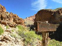
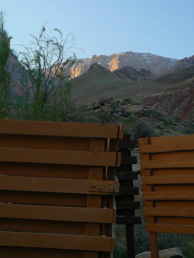
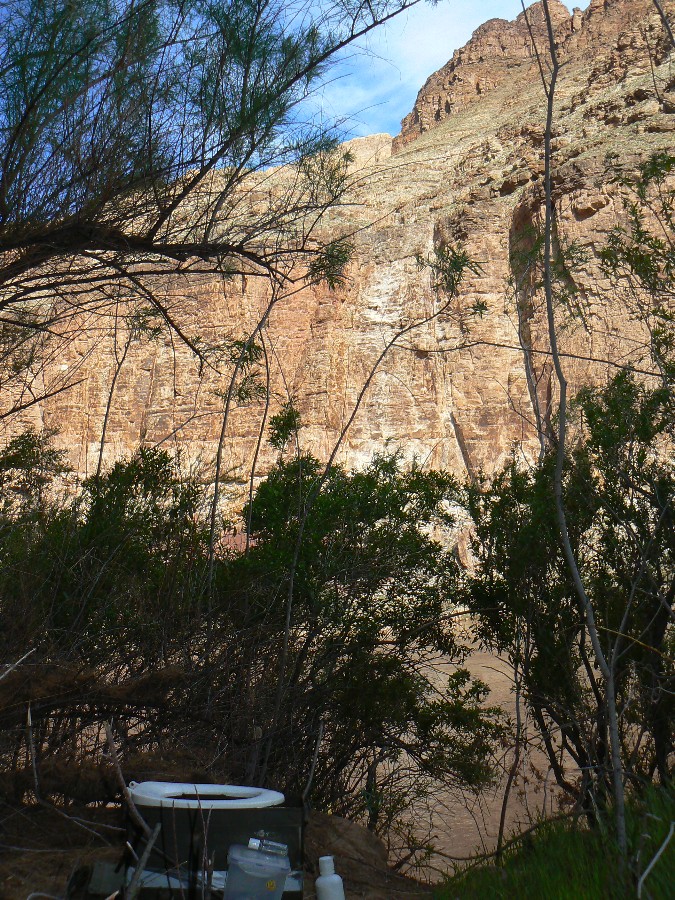
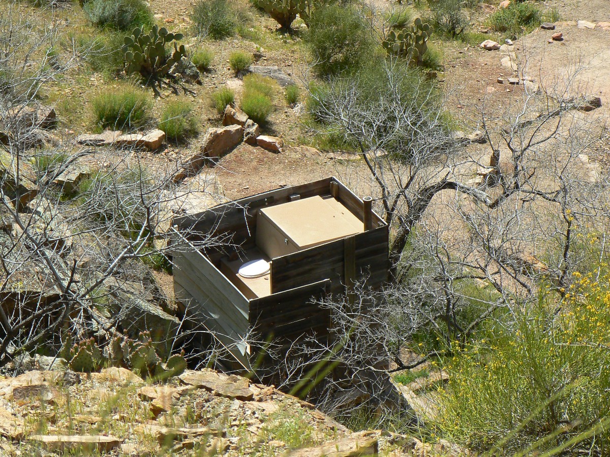
Tanner scenic toilet1
(Click the image for a full-size view)
|
|---|
|
(There are - More photos below the trip narrative.)
Day 2: Seashore Strolling.
to 75-mile Creek. 11.0 miles (19.2 total trip miles); down about 3000Æ
(total descent so far ¢ 7872Æ); up about 3000Æ (total ascent so far ¢ 4093); ERM = 23.
Walking the angled sea shore jutting from the contour of
the Escalante Route above Cardenas Creek, weÆre strolling on eons of petrified history.
ItÆs a history of seas rising, falling, sands blowing. Or, according to sarah palin,
6,000 years of geologic bible belt, with the end of days hastened in by over propagation
and resource destruction.
Today, Chris and I enjoy the signal or ritual ruin overlooking
the Unkar area and continue the slog toward the stegosaurus plates above the fabled boot-width
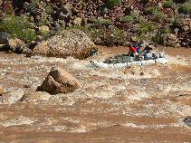
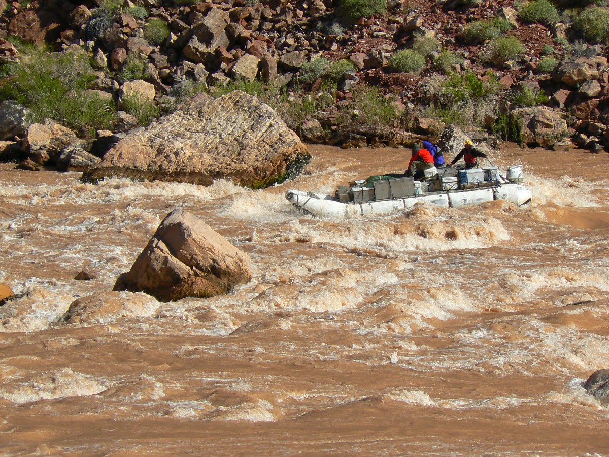
Escalante Route, gazing at a pair of tiny blue and yellow rafts battling the flow and the wind
as they sweep through Unkar Rapids. Unkar, far below the grand and sheer precipice we had
recently edged around.
Finally on the nose high between Cardenas and Escalante
Creeks, the gale forces a shortened foot break. That, and our concern about getting to a
camp in time to set up. Down into Escalante, where water flows from the spring, to the
chocolate thunder. Wind, so no good camp is apparent today. Up and above 75-mile to disappointment
¢ a feeble flow from the spring where the trail drops into 75-mile. Down the gorgeous quartzite
slot and to the The River camp where we meet salvation ¢ Ray, Kathy, and Mike share clear and crisp
water, a beer, and fruit cups. Deluxe. They captain the yellow and blue rafts seen earlier today.
ItÆs late to bed amidst a summoning gale of wind. We are
ensconced in the tammies, near the wall, so we are mostly out of the gale. I make these notes by
headlamp.
|
|---|
Panorama of Escalante Route - Cardenas ruin - Day 2
(Image is very wide and the file large - scroll to view it (6560 x 900; 1.4mb)
- Click the image for the full-size image)
|
|---|
|
|
|---|
Day 2 - Tanner Scenic Toilet
(Click the image for a full-size view)
|
|---|
|
|---|
Day 2 - upstream view of Tanner
(Click the image for a full-size view)
|
|---|
|
|
|---|
Chris at Cardenas Ruin
(Click the image for a full-size view)
|
|---|
|

|
|---|
Unkar Rapids from Escalante Route
(Click the image for a full-size view)
|
|---|
|
|
|---|
Day 2 - Unkar Delta
(Click the image for a full-size view)
|
|---|
|
|
|---|
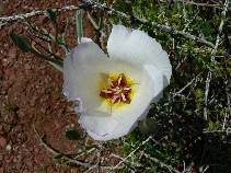
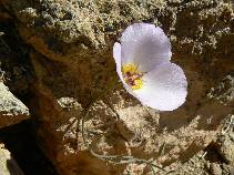
Mariposa
(Click the image for a full-size view)
|
|---|
|
|
|---|
Day 2 - Escalante Route
(Click the image for a full-size view)
|
|---|
|
|---|
Escalante Route
(Click the image for a full-size view)
|
|---|
|
|
|---|
75-mile photo 1
(Click the image for a full-size view)
|
|---|
|
|
|---|
75-mile photo 2
(Click the image for a full-size view)
|
|---|
|
|
|---|
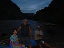
Kathy, Ray, Mike
(Click the image for a full-size view)
|
|---|
|
|
|---|
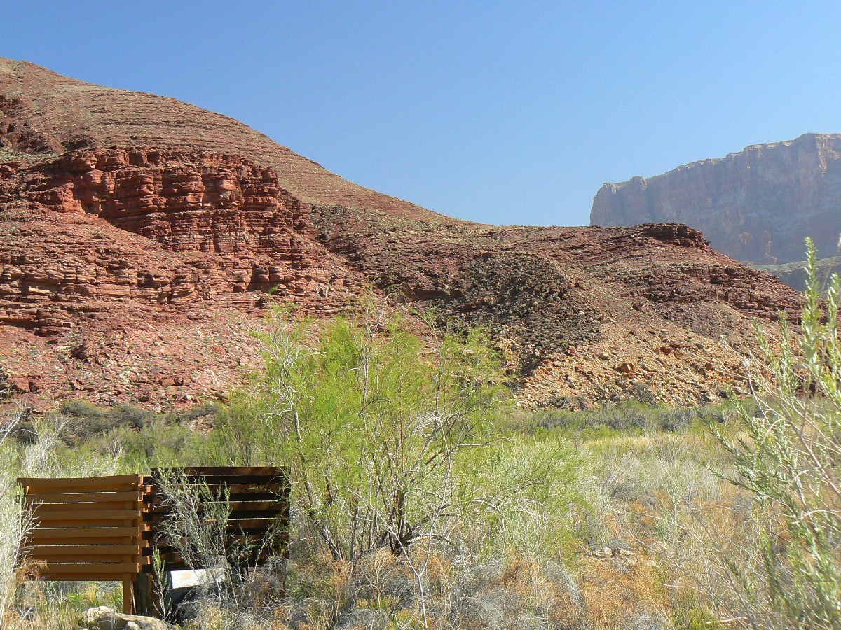
75-mile Scenic Toilet
(Click the image for a full-size view)
|
|---|
|
(There are - More photos below the trip narrative.)
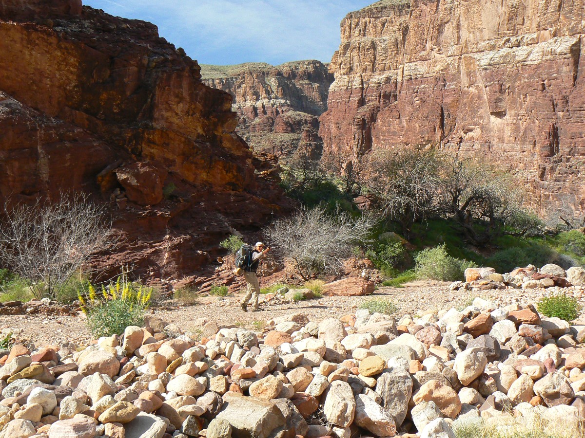
Day 3: Papago Potpourri: Wind Ruckus to Red Canyon:
1.8 miles (21.0 total miles); down (8617Æ total); up (5710Æ total); ERM = 5.
There are those that come searching for something - perhaps
respite from the relentless intrusion of artificial noise, the glut of so many people?
Congestion!
Species extinction. Soon us. Others come because they have found something
- perhaps a connection with the real world?
What is needed is help from religions, not the mindless
hindrance and over-focusing on divisive issues like abortion - but true population reduction.
Man-dominated religion, or course, is a thoughtless,
self-fulfilling prophecy. We will
certainly get the predicted carnage and brimstone, and it will be directly caused by us,
overpopulating. Overpopulating some more. Because The Canyon is only 6,000 years old,
another can certainly be easily built by alien overseers cleaning up our mess.
As Pogo said "We have met the enemy
and he is us." Walt Kelly (from "Pogo")
"We have found the sources of hazardous
waste and they are us." US EPA, from "Everybody's Problem: Hazardous Waste"
"It isn't pollution that's harming the
environment. It's the impurities in our air and water that are doing it."
Dan Quayle, former US vice president
Fine sand settles into all open orifices, choking me and prompting
me to wrap a handkerchief over my face. The howling wind and sandstorm sweeps into our camp at
Red Canyon from the West, tossing billows from the sand dune on the far side of the canyon.
Today has been a Papago potpourri, resplendent with a climbing
wall, a scree slide descent, a brief tamarisk thrash, and now a sand swirl. Not to worry, as we
are cooking dinner, a rampant rainstorm rolls in and dribbles into dark. After sweeping out several
cups of sand from the Tarptents, Chris and I realign our tents and ease them up from their
semi-collapsed positions (to help the wind glide over, and lessen the sand deposition) ¢ now
that the sand is wet and condensation/rain has taken over from wind and sand in this, the land
of sand.
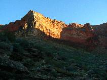
Across the chocolate thunder of the rapid, a black dike
diagonals through rust red layers. The wind and the chocolate thunder vie for auditory
supremacy. Thunderous natural quiet rules the night.
|
|---|
Movie of chocolate thunder at Hance Rapids - Day 3 - 13 MB
(Click the image to see the short video - 13 MB)
|
|---|
|
|
|---|
Day 3 - to Papago
(Click the image for a full-size view)
|
|---|

|
|---|
Day 3 - to Papago
(Click the image for a full-size view)
|
|---|
|
|
|---|
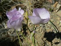
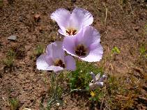
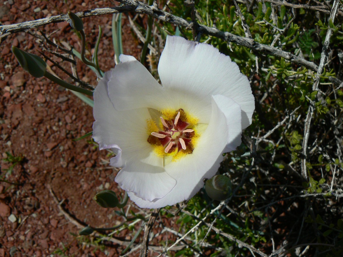
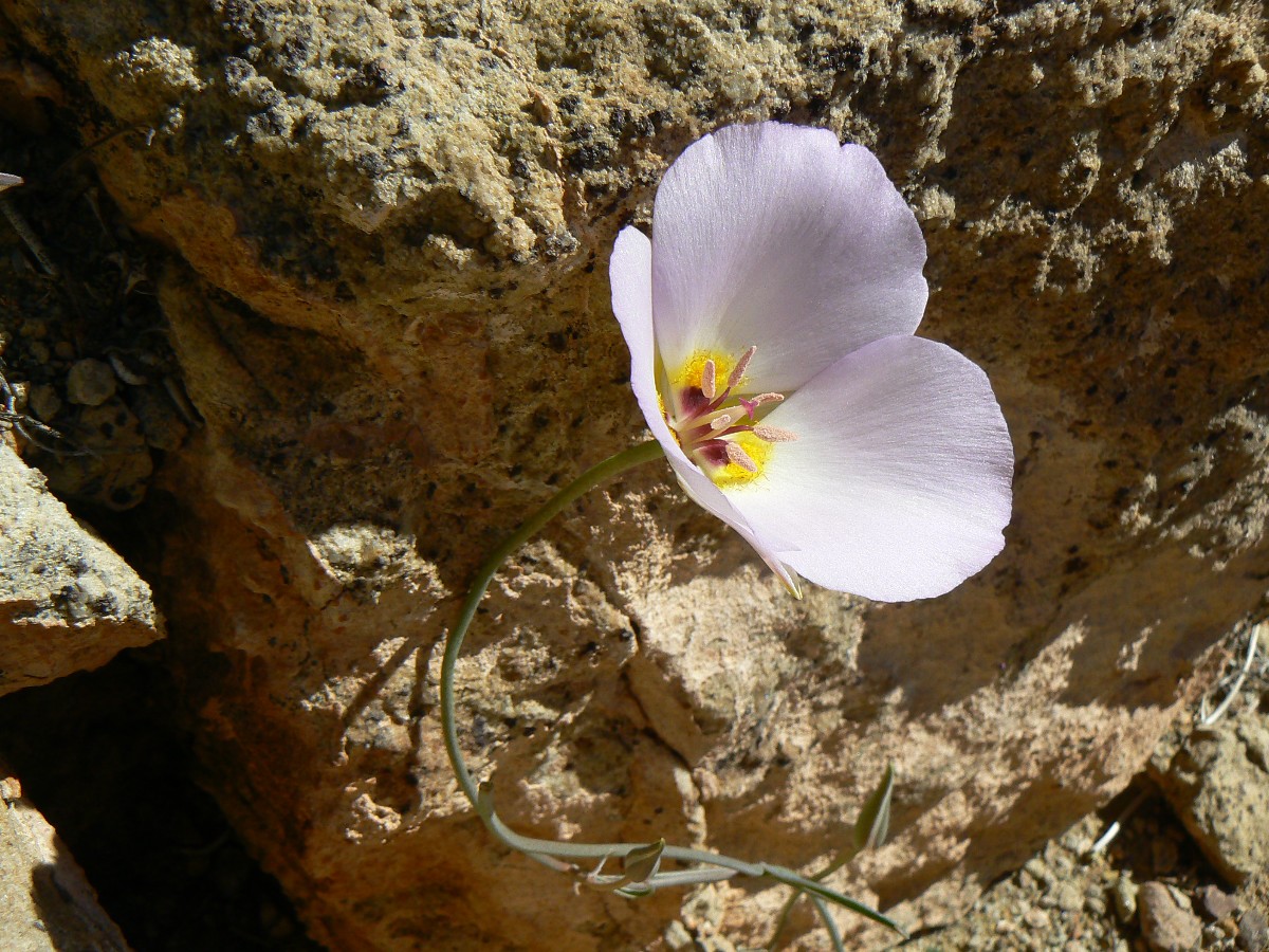
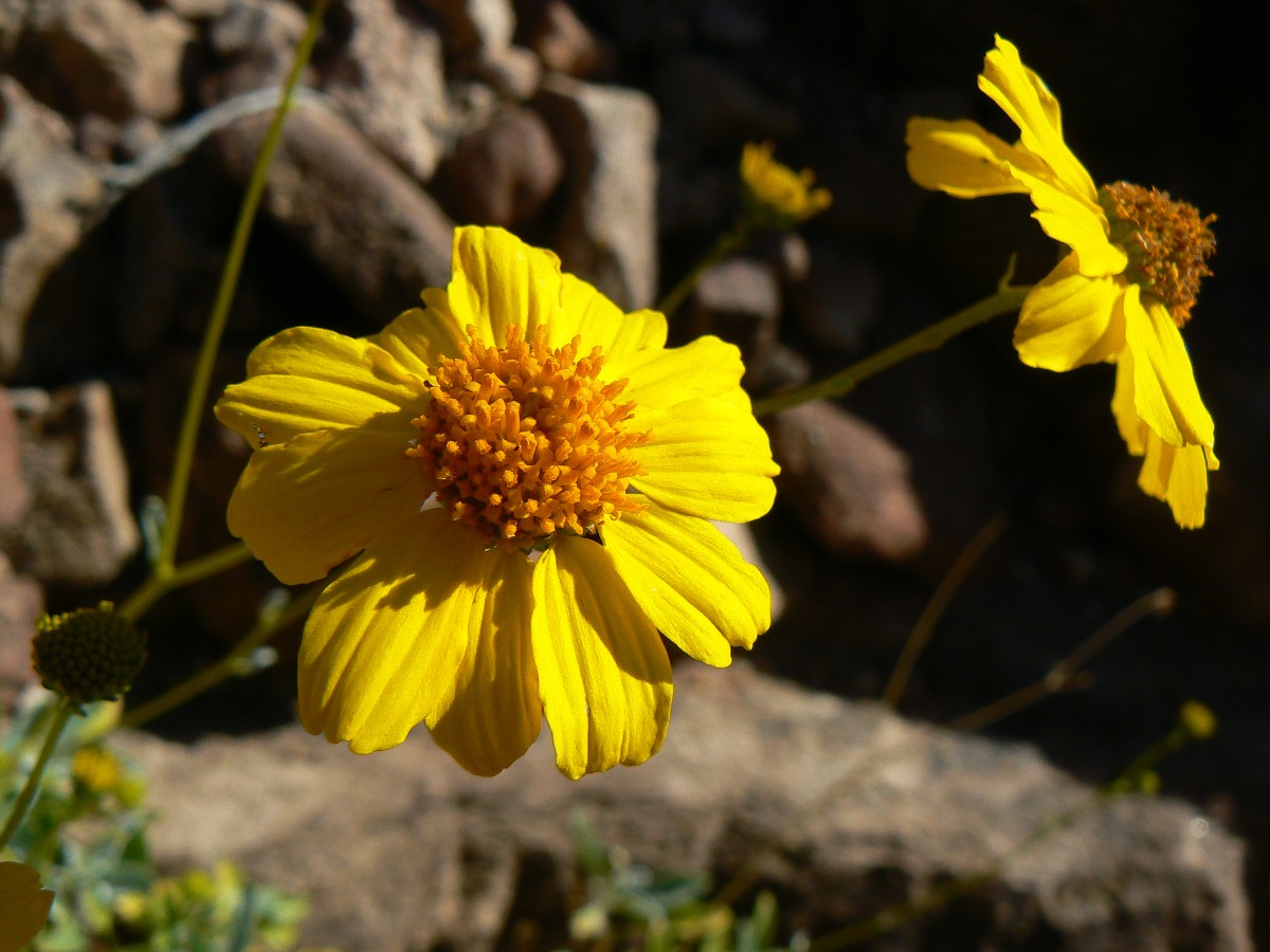
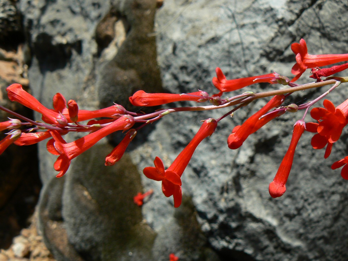
Mariposa or Sego Lily
(Click the image for a full-size view)
|
|---|
|
|
|---|
Papago Wall
(Click the image for a full-size view)
|
|---|
|
|
|---|
Papago Wall
(Click the image for a full-size view)
|
|---|
|
|
|---|
Papago Slide
(Click the image for a full-size view)
|
|---|
|
|
|---|
Papago Slide
(Click the image for a full-size view)
|
|---|
|
|---|
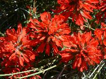
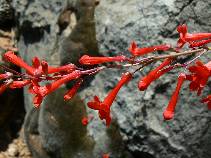
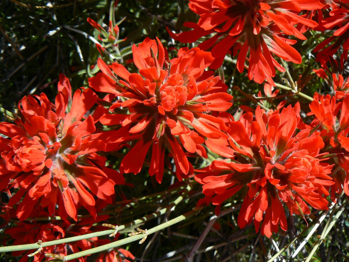
Indian Paintbrush
(Click the image for a full-size view)
|
|---|
|
|
|---|
Running Hance
(Click the image for a full-size view)
|
|---|
|
(There are - More photos below the trip narrative.)
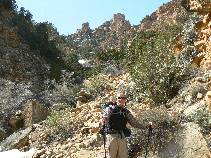
Day 4: Hat Trick ¢ to Hance Creek.
6.6 miles (27.6 miles total); 800 down (9419 total descent); 1700 up (7407 total ascent);
ERM = 11.6, camp at 3640Æ.
The vagrant vicious gust rips off my hat and sends it like
a frizzby, floating over the abyss, then quickly dropping out of sight. ōNo-o-o-o!ö I yell
as it disappears somewhere down below, somewhere in this arm of Hance. As I pop up from my
lunch seat, my sitting pad also sails, then plummets off the edge. ōNo-o-o-o!ö
I quickly put on boots and look for a viable way down. But,
how far? Is my hat lost forever? Certainly, this would not be good, hatless in the GC. I
find a way through the sheer layer cake of the canyon and scramble down and luck out. Then,
we continue walking the stark and delightful Tonto, the Tontour, rounding into Hance Creek camp.
Today we encounter Scott and Joe, who are running continuously
from South Bass, 30+ hours so far, and headed out the New Hance Trail. ōIÆll never travel
this trail again,ö one exclaims.
Sun sets rapidly ¢ local sunset that is, and I barely get a
bucket bath by racing up toward the rim on the sunny side. Yet, ahh, precious clear water,
so luscious. Cooling toward cold, I eye the snow on the North face of near Grandview and head
to bed after these notes.
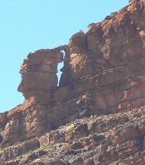
We pass the TTT Arch (Transcendental Tonto Arch) on the East
side of Mineral Canyon today. A cold night ¢ poor sleeping.
|
|---|
Day 4 - Scott and Joe
(Click the image for a full-size view)
|
|---|

|
|---|
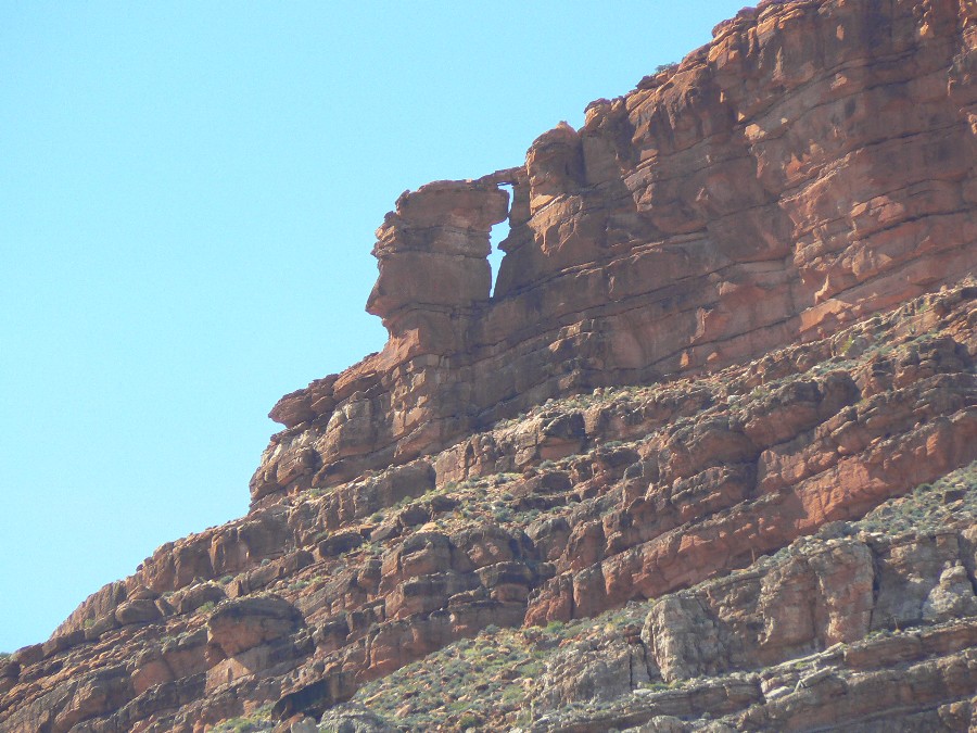
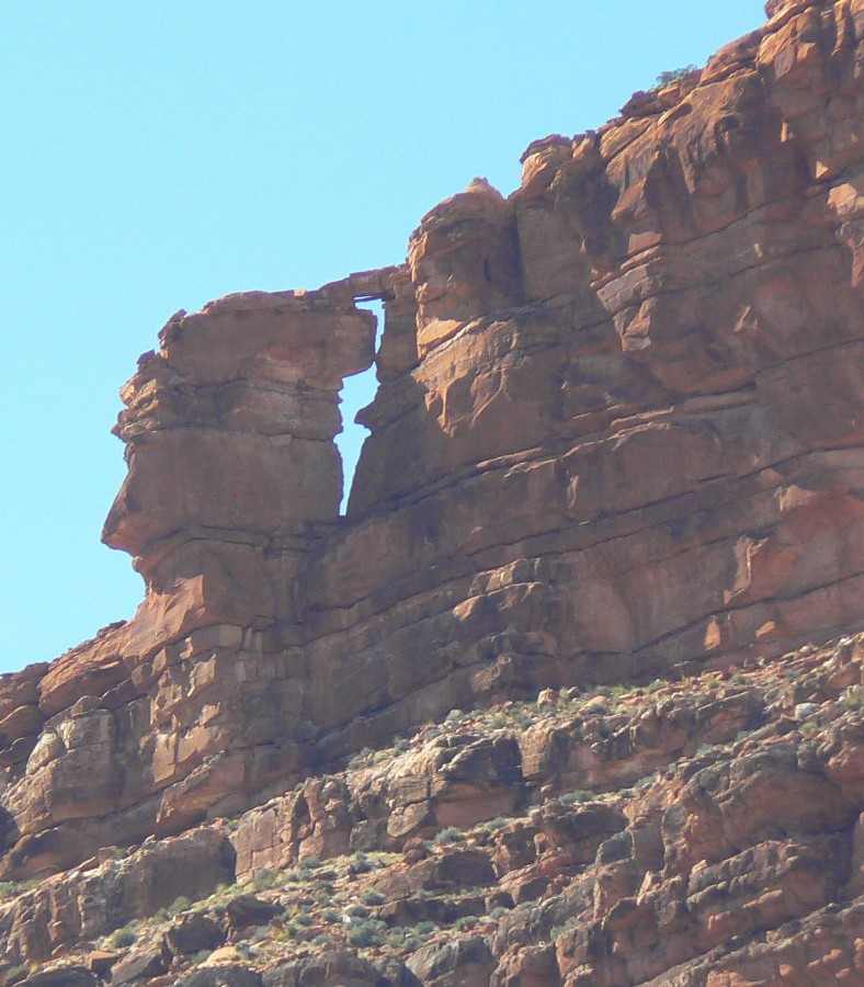
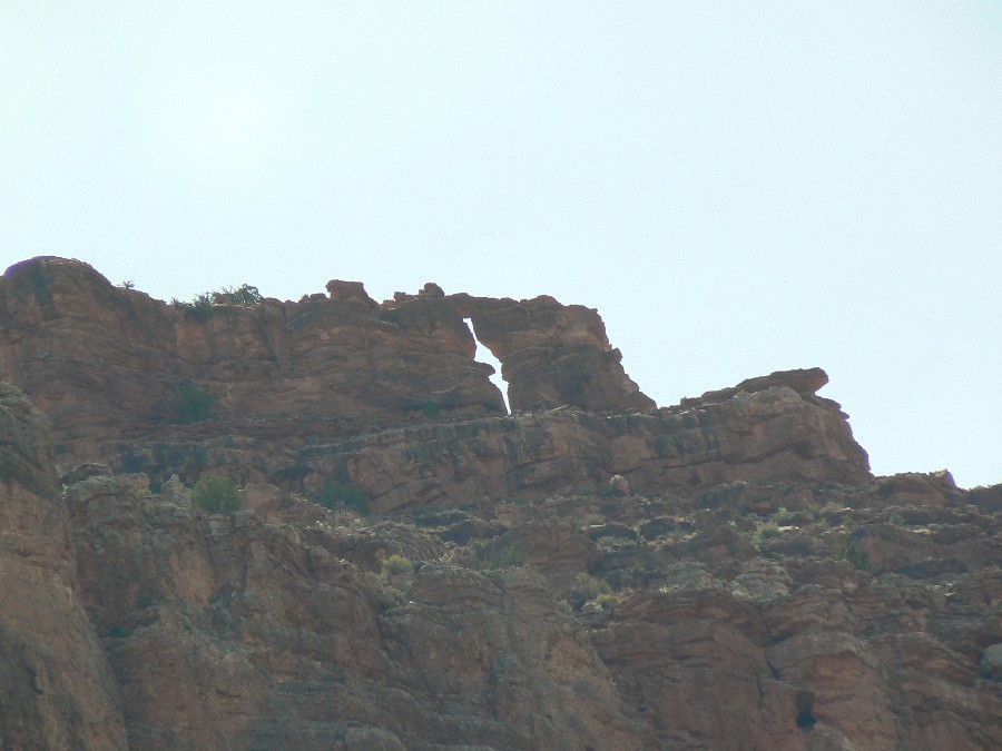
Day 4 - TTT Arch 1
(Click the image for a full-size view)
|
|---|
|
|
|---|
TTT Arch 2
(Click the image for a full-size view)
|
|---|
|

|
|---|
TTT Arch 3
(Click the image for a full-size view)
|
|---|
|

|
|---|
Day 4 - Hance Can.
(Click the image for a full-size view)
|
|---|
|
|
|---|
Day 4 - Hance Cmp.
(Click the image for a full-size view)
|
|---|
|
(There are - More photos below the trip narrative.)
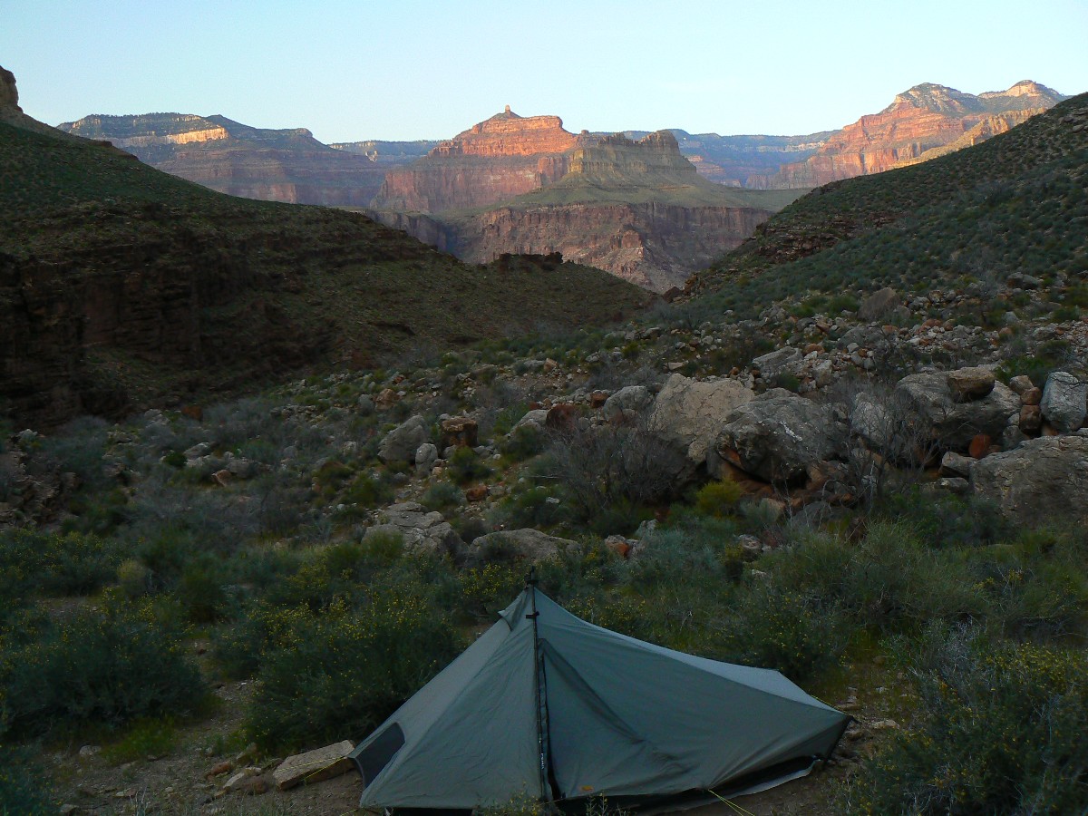
Day 5: Grapevine Galleria Redux ¢ to Grapevine Canyon.
10.6 miles (38.2 total); down 1100Æ (down 10,563 total); up 1100 (up 8543Æ total); ERM = 15.
The water of the glorious galleria courses and slithers across
the luge run of polished, naked sandstone. The Canyon Tree Froggy Choir trembles the low
frequency range of auditory splendor. Chris and I are reclined near the two Tarptents, which
are pitched on naked rock, downstream of a large group of old guys. We, of course, are not old,
we are just slowly deteriorating in our boots.
After a cold start, we warm along the long contour around the
nose of Horseshoe Mesa, adding water to our ballast at Cottonwood before continuing into the
West Fork of Cottonwood and the long looping contour into the head of Grapevine. Basement
rocks glitter and a panoply of panoramas beckon. ItÆs a Tontour indeed.

|
|---|
Panorama Tonto Trail edge (near old Grandview Tr. descent to River
- Day 5
(Image is very wide and the file large - scroll to view it (4315 x 600; 2.4mb)
- Click the image for the full-size image)
|
|---|
|
|
|---|
Day 5 - around Horseshoe Mesa
(Click the image for a full-size view)
|
|---|
|
|---|
Day 5 - Grandview Tr. Jct.
(Click the image for a full-size view)
|
|---|
|

|
|---|
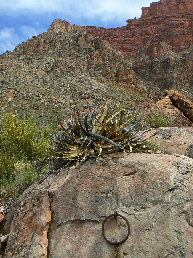
Cactus on Day 5
(Click the image for a full-size view)
|
|---|
|
|
|---|
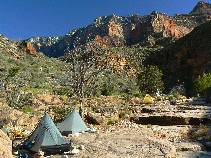
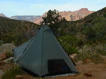
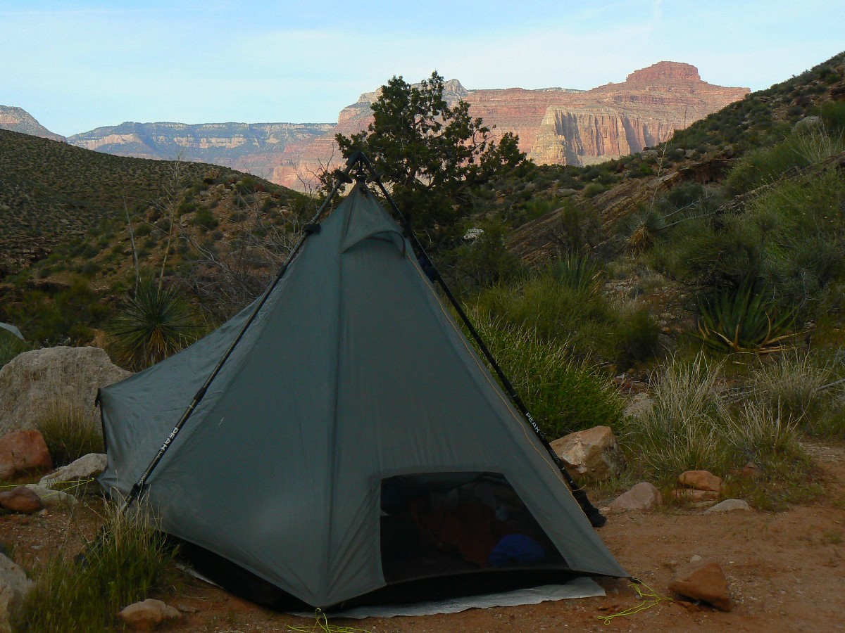
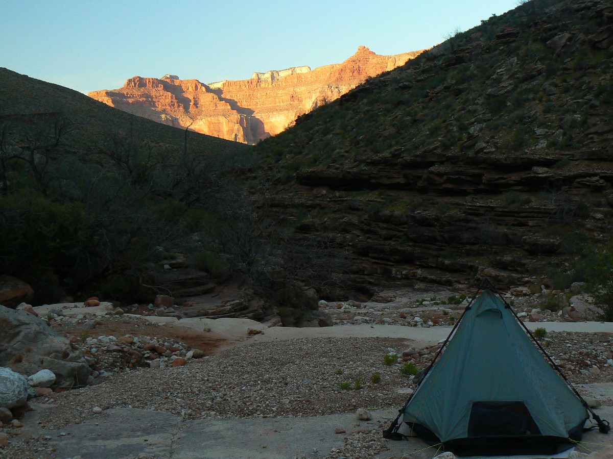
TarpTents at Grapevine
(Click the image for a full-size view)
|
|---|
|
|
|---|
Grapevine!
(Click the image for a full-size view)
|
|---|
|
|
|---|
Grapevine!
(Click the image for a full-size view)
|
|---|
|
|
|---|
Grapevine!
(Click the image for a full-size view)
|
|---|
|
|---|
Grapevine!
(Click the image for a full-size view)
|
|---|
|
|
|---|
Slinky Sego
(Click the image for a full-size view)
|
|---|
|
(There are - More photos below the trip narrative.)
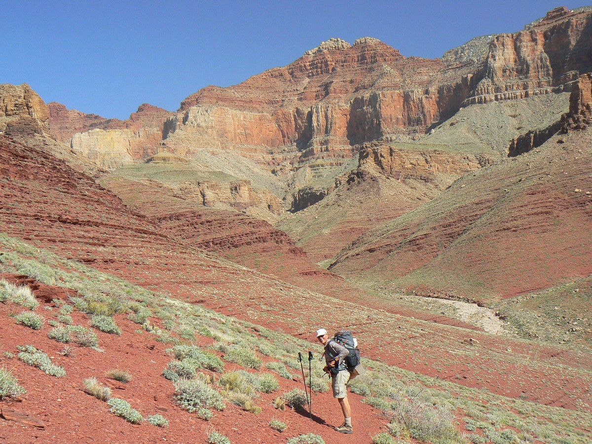
Day 6: Lone to Lone Tree ¢ to Lone Tree Canyon.
9.0 (47.2 total miles); down 700Æ (11,271Æ descent total trip); up 900Æ
(9437Æ ascent total trip); ERM = 12.
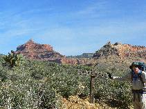
The Tontour contours, maintaining homeostasis, equilibrium,
transcendental bliss as it wanders near the basement rock abyss, its flanks studded with
violet mariposa and ruby Indian Paintbrush. The Tonto sustains energy by holding to the line,
perched upon the sturdy Tapeats SS (Sandstone). An occasional canyon imbalances the contour
today, yet not much.
Pausing at Boulder Canyon, we enjoy a long break, marveling
at views of Zoroaster Temple, Brahma Temple, and backed by the sweep of Redwall Limestone
behind us. We meet Randy Burns, who is walking the other direction fueled by countless
cups of coffee. We learn a bit more from Randy about Cheryl S. and their plans to hike the
Slickhorn/Grand Gulch loopo, and wish them well.
ōOur culture runs on coffee and
gasoline, the first often tasting like the second.ö Ed Abbey
After 9 miles of Tontour, we pull into a lone camp at Lone
Tree to the deafening natural quiet of Canyon Tree Froggies, bleating in earnest. ThereÆs
just enough time before local sunset for a slickrock bath. The Tree Frog Choir continues
into dusk, into dark. Chris reports that a clump of frogs directly below him, in a swirl of
Grapevine, sound like ghetto blasters ¢ their love songs amplified by the symphonic rock hall.
|
|---|
Day 6 - to Lone Tree
(Click the image for a full-size view)
|
|---|

|
|---|
Day 6 - Lone Tree
(Click the image for a full-size view)
|
|---|
|
|
|---|
Day 6 - Lone Tree
(Click the image for a full-size view)
|
|---|
|
|
|---|
Day 6 - Lone Tree
(Click the image for a full-size view)
|
|---|
|
|
|---|
Day 6 - Lone Tree
(Click the image for a full-size view)
|
|---|
|
|
|---|
Day 6 - Lone Tree
(Click the image for a full-size view)
|
|---|
|
(There are - More photos below the trip narrative.)
Day 7: East Meets West ¢ to Indian Garden.
10.4 miles (57.6 total miles); down 700Æ (total descent 11,271Æ); up 900Æ
(total ascent 9437Æ); ERM = 12.
The 180 degree crescent of canyon rim graces our Lone Tree
backyard, and is crowded with billions and billions of stars. IÆm gazing out of the
porthole of my Henry Shires and listening to the raucous froggies cavorting for sex.
Transcendental.
Morning comes and we head toward Cremation, where the
luxurious Tontour uncharacteristically dips and climbs, and does more before we reach the
scenic toilet at the Tonto-South Kaibab junction, where Chris and I eat a second lunch
with the intrusive Rock Squirrels. A platoon or more of hikers are left behind as we lilt
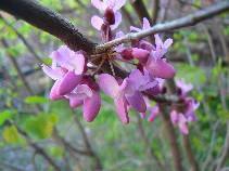
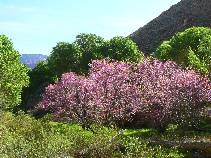
toward Indian Garden. Pausing at Pipe Creek, we enjoy Red Buds, red walls, green Cottonwood
leaves, and an occasional frog snort.
|
|---|
Day 7 - Pattie Butte Arch
(Click the image for a full-size view)
|
|---|
|
|---|
Day 7 Cremation
(Click the image for a full-size view)
|
|---|
|

|
|---|
Tipoff Scenic Toilet
(Click the image for a full-size view)
|
|---|
|
|
|---|
Day 7 - Pipe Spring
(Click the image for a full-size view)
|
|---|
|
|
|---|
Red Buds at IG
(Click the image for a full-size view)
|
|---|
|
|
|---|
Red Buds at IG
(Click the image for a full-size view)
|
|---|
|
(There are - More photos below the trip narrative.)
Day 8: Resupply Blues ¢ to the South Rim for food
and back to IG.
9 miles. Not counted in TTT mileage or elevation.
The difficulty starts before Chris and I reach the rim.
A Rock Squirrel (probably) is chewing through my tent, gashing side panels and shredding
several sections of netting. And, punctuating her work with a small hole in my sleeping pad.
Up on top, a quick call to Kathleen, gear and food bag
exchanges, meet Dave Rumbellow and Mike Garvey for lunch, say goodbye for now to Chris, and
get ready to go back down.
Hiking from the backcountry office to the rim to start back
down, I was fixated on a lovely who, wearing almost nothing, had come out of the bath house
and ¢ crash, I tripped over a branch and tore up both legs. Then, the descent down to find
the shredded tent, etc. Oh well.
The intrusive lights positioned somewhere near the lodge on
the rim disrupt the night, and I recall someone saying -
ōYou can't study the darkness
by flooding it with light.ö Ed Abbey
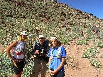
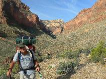
Day 9: Monumental Monument ¢ IG to Monument Camp.
beginning the second segment with Dave Rumbellow. Mike G.
joins us at Hermit.
11.1 miles (68.7 total miles); 1800Æ down (total descent 14,555Æ);
up 1300Æ (total ascent of 12,745Æ); ERM = 14; camp at 3000Æ.
The springs gurgle and soft female voices burble amidst the
blush of Red Buds contrasted against the saturated green of new leaf Cottonwoods, all wrapped
in the morning glow of several hundred vertical feet of sheer Redwall Limestone. Dave R. and I
are easing out of Indian Garden camp, bound for the monumental Monument of Monument Creek.
Our packs are stuffed with newly filled food bags and enough water for a ten+ mile shuffle of
the Tontour with bruised feet. Glorious.
Contouring the Tontour, sans air tour terrorist tympanic tyranny,
we route to Salt Creek for lunch. Quieter now, we pass an Auschwitz trail runner girl, perhaps
seeing something above her low-top shoes? Might she see as much as an air tour terrorist?
I muse to Dave - "there is more to life than increasing its speed" (I believe initially said by
Gandhi).
Finally, we drop into Monument, which is filled with frog noises
and slithering water. Wind and total clouds, that dissipates by evening. Mildly cool and froggy.
|
|---|
Day 9 - Tonto/BA Red Bud
(Click the image for a full-size view)
|
|---|
|
|---|
Day 9 - Red Bud
(Click the image for a full-size view)
|
|---|
|
|
|---|
Day 9 - Red Bud
(Click the image for a full-size view)
|
|---|
|
|
|---|
Day 9 - to Monument
(Click the image for a full-size view)
|
|---|
|
|
|---|
Day 9 - to Monument
(Click the image for a full-size view)
|
|---|
|
|
|---|
Day 9 - to Monument
(Click the image for a full-size view)
|
|---|
|
|
|---|
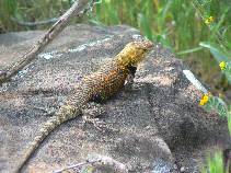
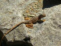
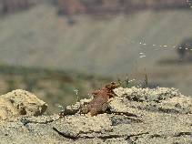
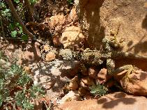
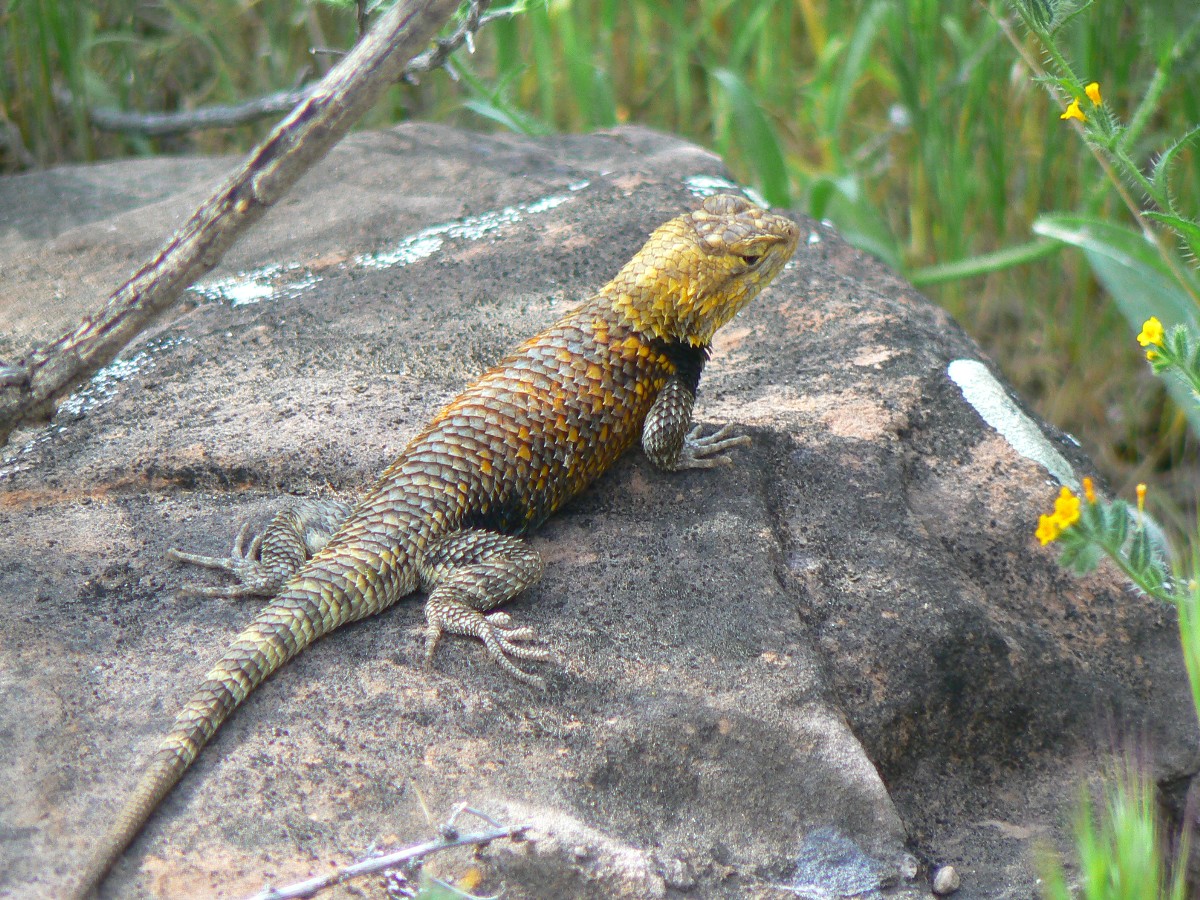
Spiny Lizard
(Click the image for a full-size view)
|
|---|
|
|---|
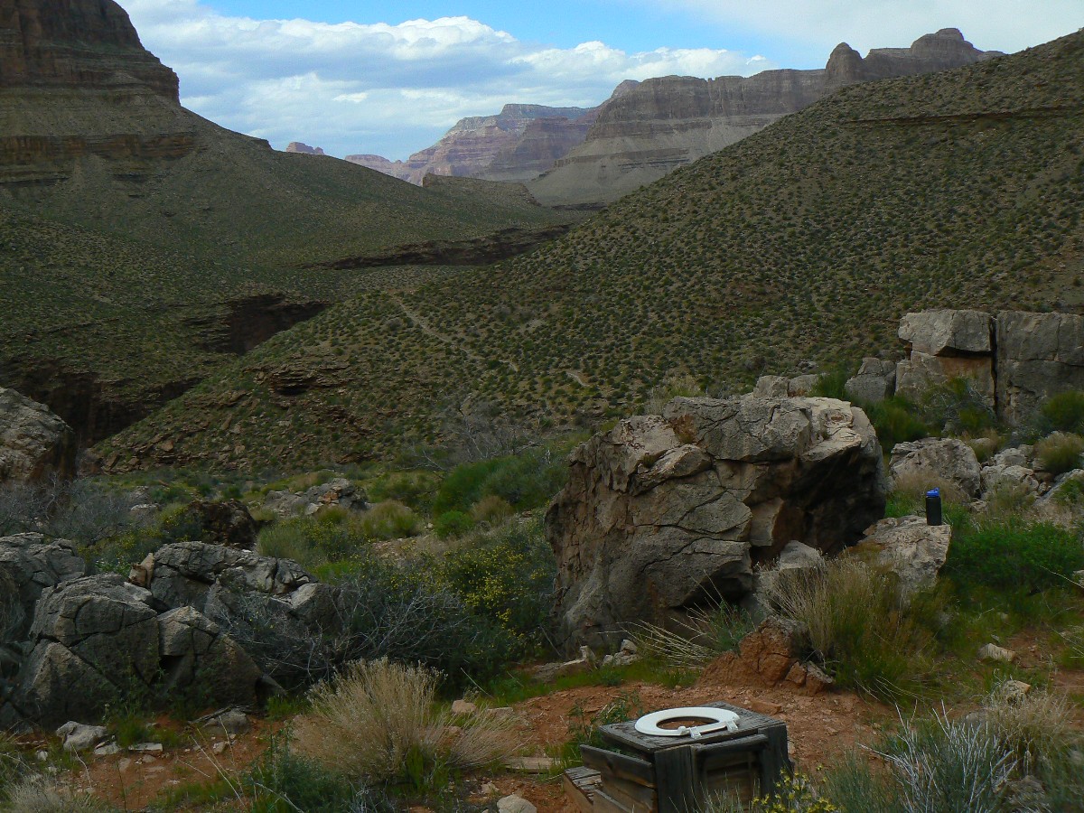
Day 9 - Monumental Scenic Toilet
(Click the image for a full-size view)
|
|---|
|
|
|---|
Day 9 - Monumental Scenic Toilet
(Click the image for a full-size view)
|
|---|
|
(There are - More photos below the trip narrative.)
Day 10: Hermit Hurricane ¢ to Hermit Creek Camp.
3.3 miles (72.0 total TTT miles); down 900Æ (15,450Æ descent
total); up 900Æ (13,660Æ of total ascent); ERM = 7.0.
I turn back up Hermit Creek Canyon to say something to Dave
and my mouth fills with sand and tiny rocks sting my face, soon followed by a hint of rain.
A storm is upon us, terminating our exploration of Hermit Creek toward The River. So, we
scurry back to camp under the overhang, precious overhang, and find Mike Garvey recouping
from the pounding trail down from HermitÆs Rest. A drizzle sets in as I write these notes,
and the temperature continues to plummet. ItÆs a Spring cold front in the GC. When the gale
passes, I hear the continuous drone of air tour terrorists, and sometimes one of the gray/bronze
froggies belts out a love song. One side of the tent is dry while the other is soaked by
swirling skiffs of drizzle. This moisture will help by quieting the sand and it wonÆt blow
around much.
|
|---|
Day 10 - out of Monument
(Click the image for a full-size view)
|
|---|
|
|---|
Day 10 - out of Monument
(Click the image for a full-size view)
|
|---|
|
|
|---|
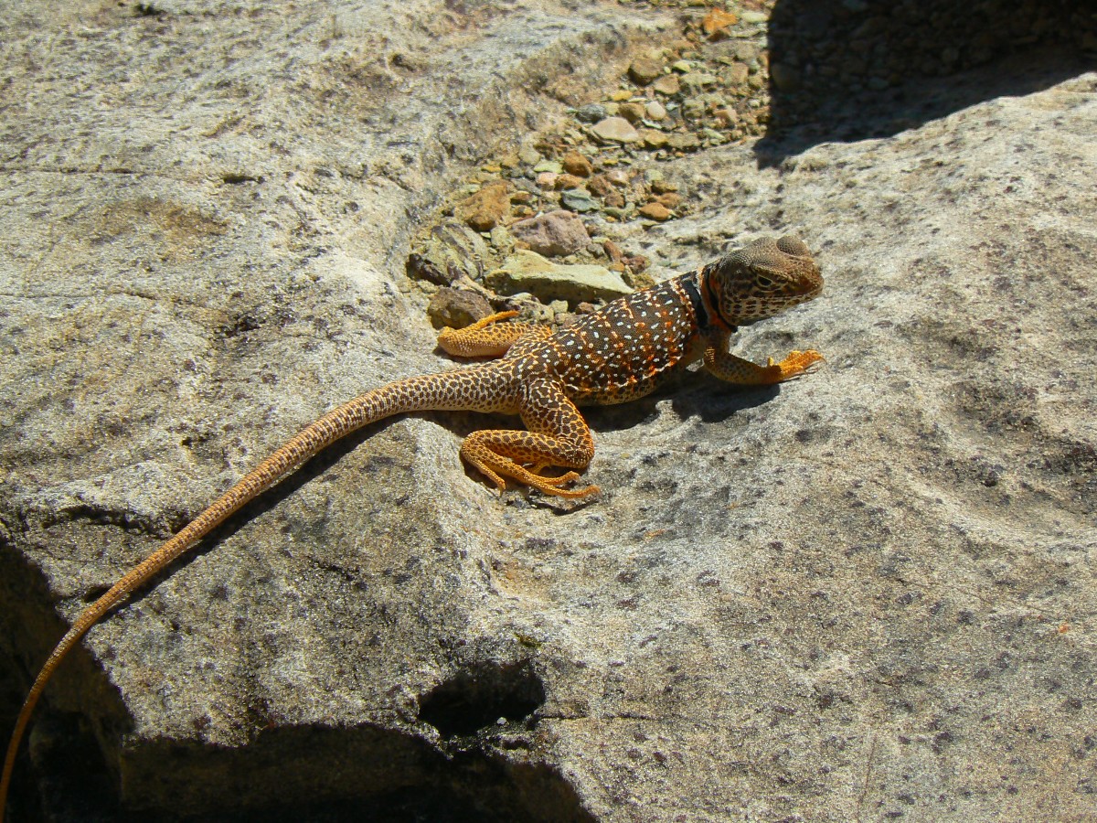
Collared Lizard
(Click the image for a full-size view)
|
|---|
|
|
|---|
Hermit Camp Scenic Toilet
(Click the image for a full-size view)
|
|---|
|

|
|---|
Old Hermit Camp Scenic Toilet
(Click the image for a full-size view)
|
|---|
|
|
|---|
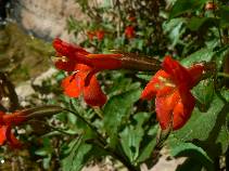
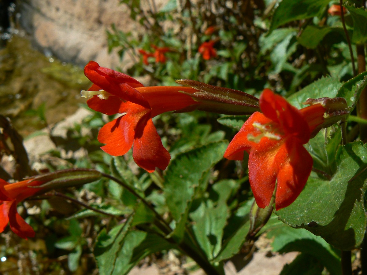
Monkey Flower
(Click the image for a full-size view)
|
|---|
|
|
|---|
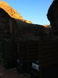
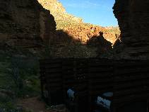
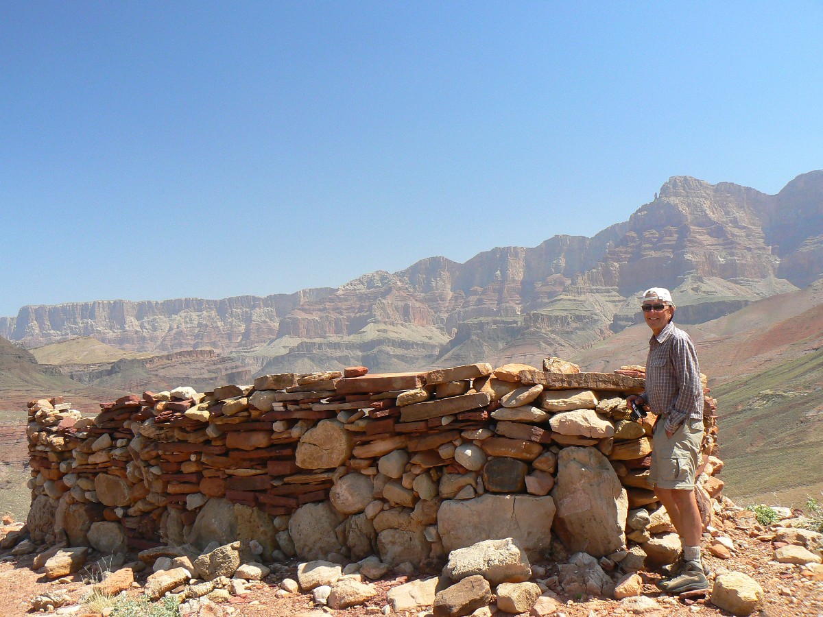
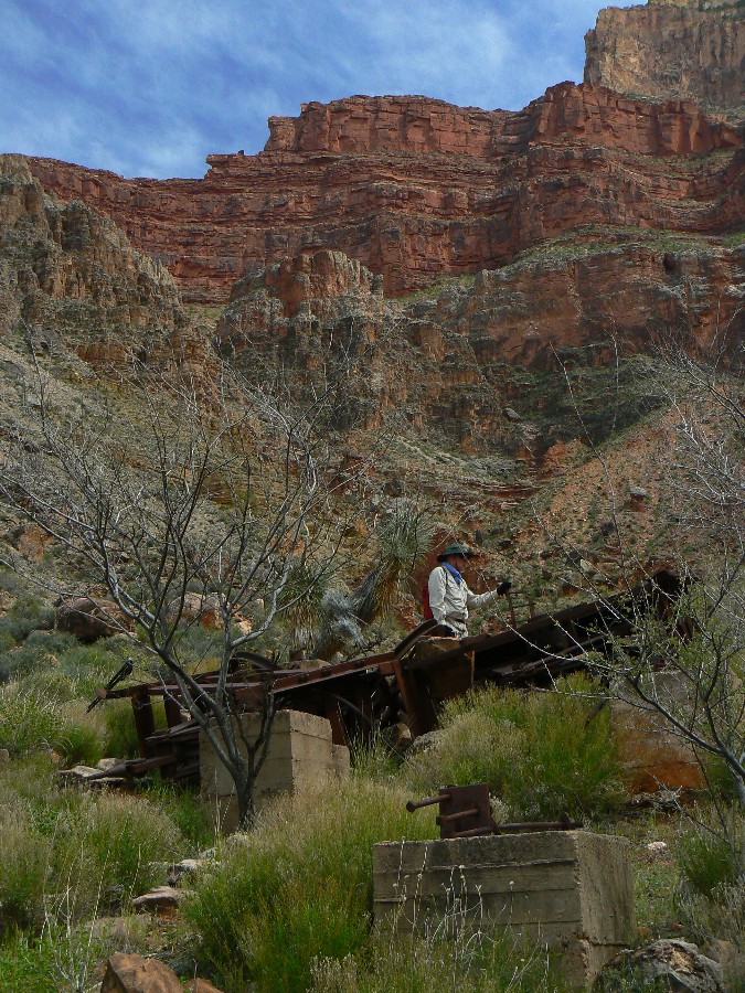
Dave explores cable works - Old Hermit Camp
(Click the image for a full-size view)
|
|---|
|
|---|
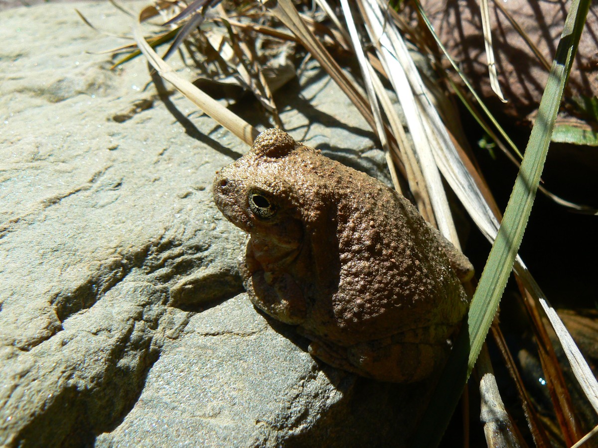
bronze Tree Froggy
(Click the image for a full-size view)
|
|---|
|
|
|---|
Day 10- Old Hermit Camp
(Click the image for a full-size view)
|
|---|
|
(There are - More photos below the trip narrative.)
Day 11: Another TTT (Travertine Tympanic Trauma)
¢ to Boucher.
5.2 miles (77.2 total miles); down 1000Æ (total descent of
16,440Æ); up 1000Æ (total ascent of 14,650Æ); camp at 2800Æ; ERM = 9.2.
ōLetÆs stop for a foot break,ö I shout to Mike and Dave as
we reach the floor of Travertine Canyon. Attempting to shout over the aural attack from the
conveyor belt of air tour terrorists, increasing our dependence on foreign oil, increasing fear
(fly that flag of fear, republicans, after having created the conditions for fear), increasing
health care costs, costs via obesity, the capitalism of stupidity, a real sarah palin.
Overflight Nazis. Not paying the environmental costs of capitalism. And today itÆs Travertine
Tympanic Trauma.
We awoke to blue skies punctuated by puffy clouds. ItÆs a
flower laden ramble to Boucher, and the flowers of the day are Mariposa Lilies, paintbrush,
some lavender, and the beginnings of Brittle Bush.
The trail contours out to the rim, to a nearly vertical vista
of Hermit Rapids, followed by the creep into Boucher.
|
|---|
Day 11 - Hermit after storm
(Click the image for a full-size view)
|
|---|

|
|---|
Day 11 - To Boucher
(Click the image for a full-size view)
|
|---|
|
|
|---|
Day 11 - To Boucher
(Click the image for a full-size view)
|
|---|
|
|
|---|
Day 11 - looking upstream
(Click the image for a full-size view)
|
|---|
|
|
|---|
triple Mariposa
(Click the image for a full-size view)
|
|---|
|
|
|---|
Mike - To Boucher
(Click the image for a full-size view)
|
|---|
|
(There are - More photos below the trip narrative.)
Day 12: Genuine Gems ¢ to Slate.
5.5 miles (82.7 total miles); down 600
(total descent 17,010Æ); up 900Æ (total ascent 15,550Æ); ERM = 8.5.
We slip into the Boucher riparian area, into the cool shade
before local sunrise, then climb out of Topaz and up to the top of the Tapeats SS, where we
continue the Tontour toward Slate Canyon. Growing hot, we pause to overview Crystal Rapids,
yet no boaters do we see sliding the chocolate milkshake. We edge into Slate and I note an
arch perched on the top of the ridge continuing SW from Geikie Peak, which I call Karabiner
Arch because it has that shape and looks as if it has a gate at the top. We encounter Dave
Cash and crew and talk tales of the John Muir Trail and wild canyons. Dave R. and I explore
down canyon a bit and see tiny Tree Root Arch. The gnats come out to hassle us after local
sunset. The water is adequate. Our first day in the canyons named for rocks.
As dark-thirty (8 p.m.) arrives, I bed down in my tattered
Tarptent and enjoy the sweet smell of Cliffrose and a backdrop of chortling froggies.
|
|---|
Day 12 - Morning at Boucher
(Click the image for a full-size view)
|
|---|

|
|---|
Day 12 - Brittlebush
(Click the image for a full-size view)
|
|---|
|
|
|---|
Day 12 - Slate Camp
(Click the image for a full-size view)
|
|---|
|
|
|---|
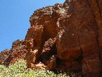
Karabiner Arch
(Click the image for a full-size view)
|
|---|
|
|
|---|
Karabiner Arch
(Click the image for a full-size view)
|
|---|
|
|
|---|
Karabiner Arch - West side
(Click the image for a full-size view)
|
|---|
|
(There are - More photos below the trip narrative.)
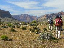
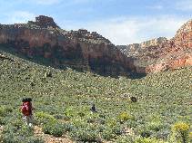
Day 13: Through to Turquoise ¢ Slate to Turquoise.
9.5 miles (92.5 total TTT miles); 1000Æ down (18,020Æ total
descent); 1050Æ up (16,610Æ total ascent); ERM = 13.5.
ōWe can learn from a tree how
to exist in ecstasyö ¢ from the morningÆs Yogi tea bag.
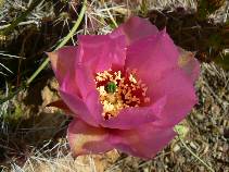
The shaley green of the Tontour is graced with a sparkling
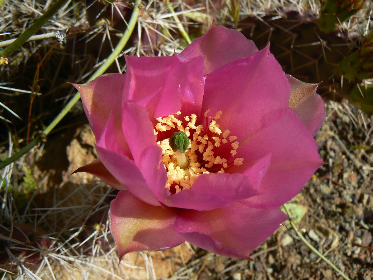
of lilies, and a few brilliant pink cactus flowers. And, for the background ¢ The GC.
WeÆre rounding the contour of the Tontour, heading for the
long lateral along Turquoise and hoping for good water and few bugs. We get the water in
pockets and a smattering of gnats and mosquitoes. A delightful venue, solo in Turquoise,
with a deluxe narrow canyon vista looking down canyon.
Today we started off fairly early from Slate and roamed
through desiccated Agate Canyon before finding a good flow in Sapphire, where we rested
under a ledge while the hotter period of the day lapsed. We have seen no one since early
morning at Slate ¢ yet we continue to be harassed by mechanized ass hole air tourist fuel
wasters, an unnatural disruption of natural quiet.
Distant froggies croak from tanks below and I finish these
notes in the dark, by headlamp.
In the morning ¢ the tea will be Tazo Honeybush, which by
name sets off thoughts of home. A warm and quiet night.
|
|
|---|
Panorama of The Tonto - from Day 13- near Turquoise Canyon
(Image is very wide and the file large - scroll to view it (8600 x 900; 1.8mb)
- Click the image for the full-size image)
|
|---|
|
|
|---|
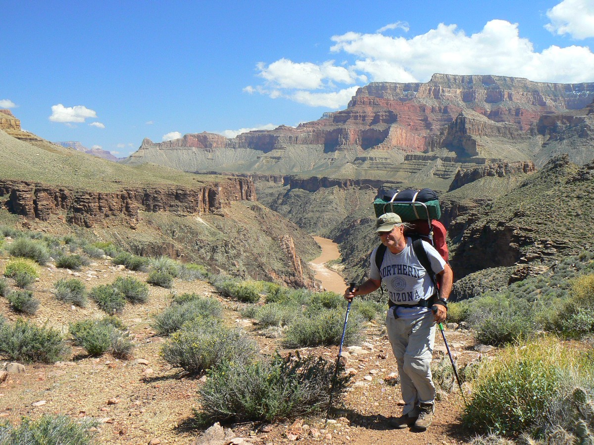
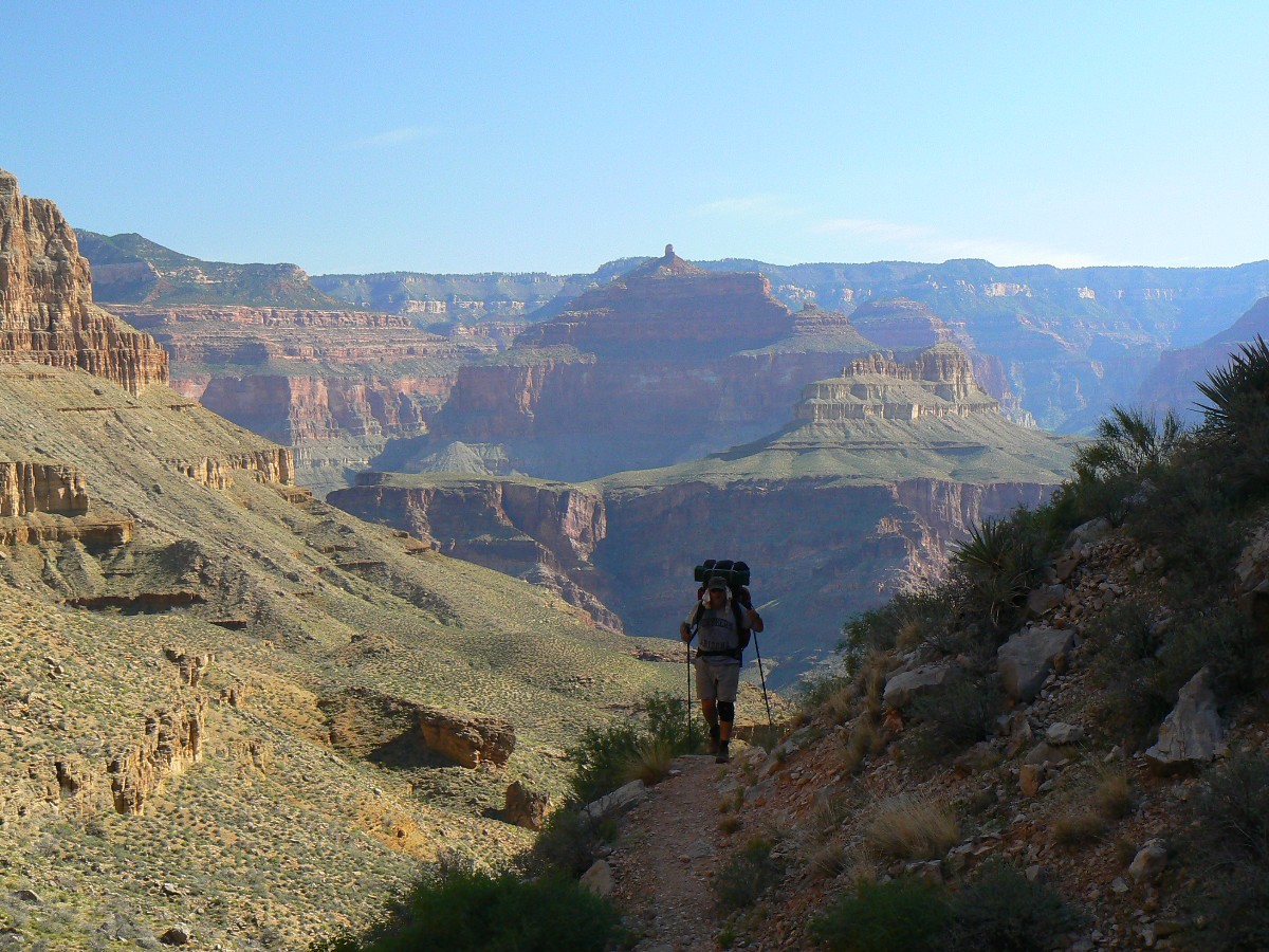
Day 13 - Mike
(Click the image for a full-size view)
|
|---|
|
|---|
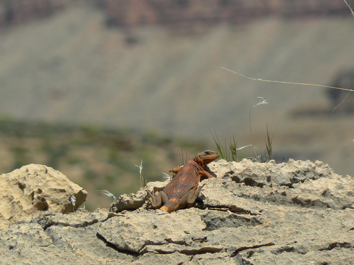
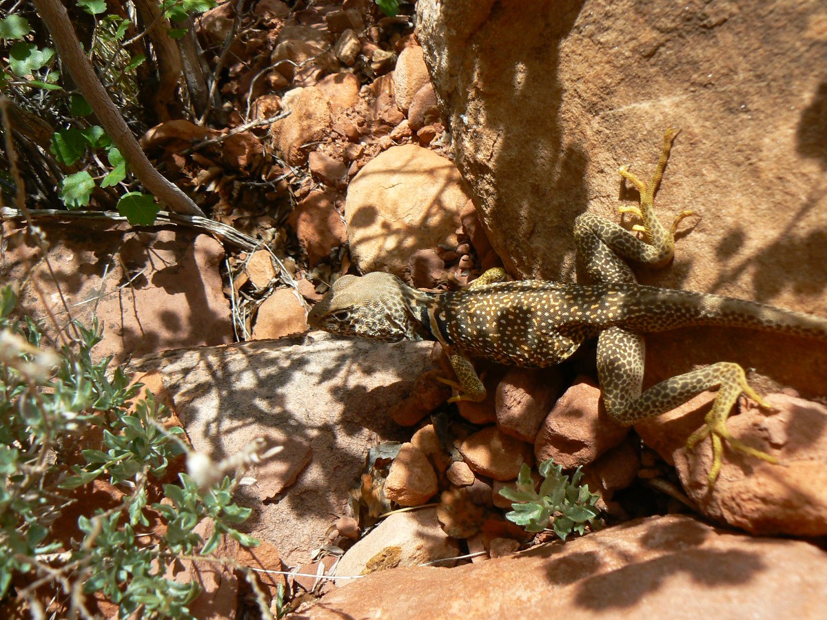
Day 13 - Cautious chuckwalla
(Click the image for a full-size view)
|
|---|
|
|
|---|
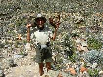
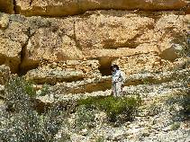
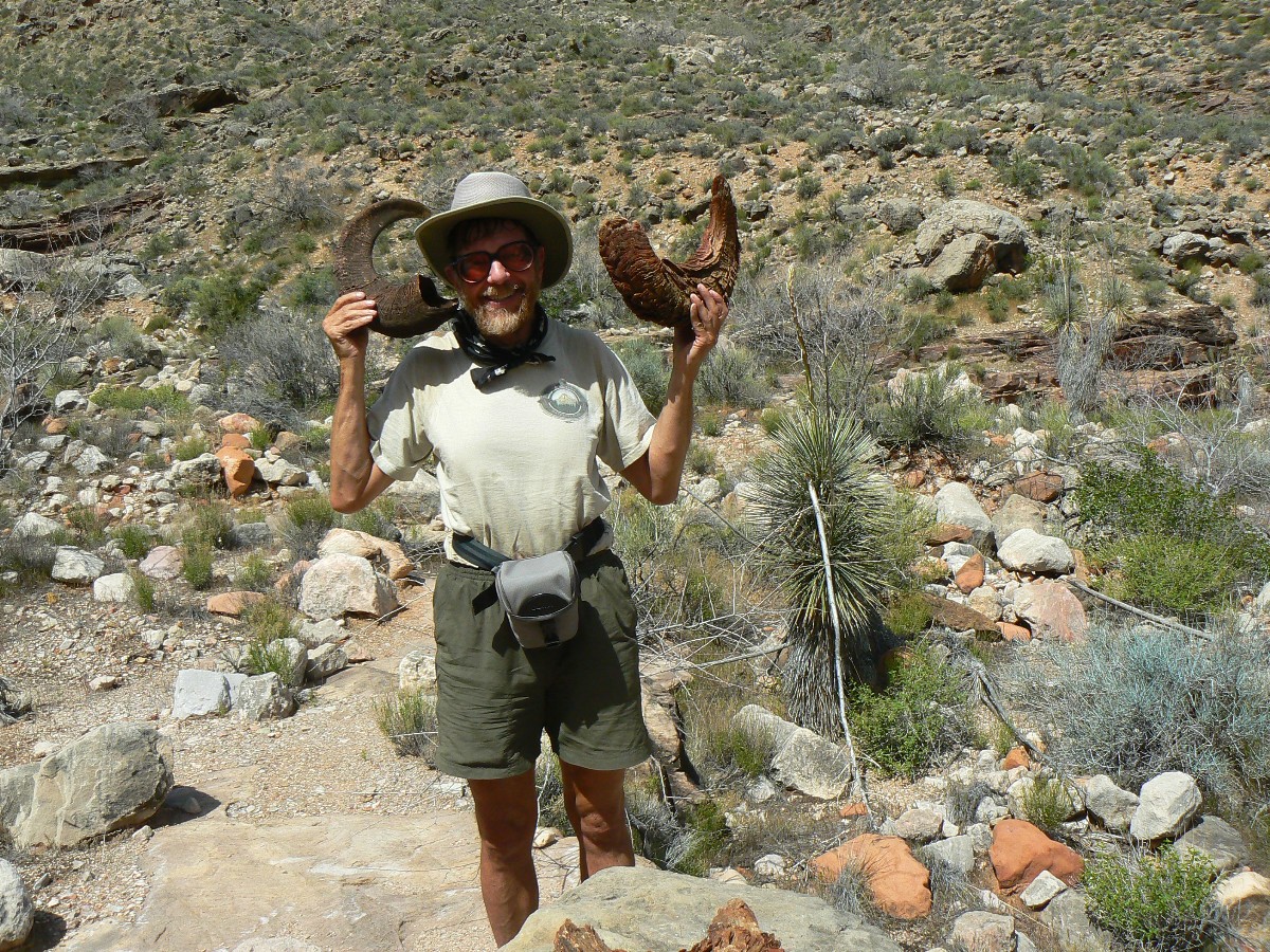
Rob as Desert Bighorn
(Click the image for a full-size view)
|
|---|
|
|
|---|
Day 13 - Cactus
(Click the image for a full-size view)
|
|---|
|
|
|---|
Dave and Mike to Turquoise
(Click the image for a full-size view)
|
|---|
|
|
|---|
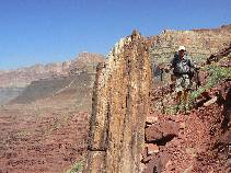
Day 13 - Turquoise
(Click the image for a full-size view)
|
|---|
|
|
|---|
Day 13 - Turquoise
(Click the image for a full-size view)
|
|---|
|
|---|
Day 13 - Turquoise
(Click the image for a full-size view)
|
|---|
|
|
|---|
Day 13 - Turquoise
(Click the image for a full-size view)
|
|---|
|
(There are - More photos below the trip narrative.)
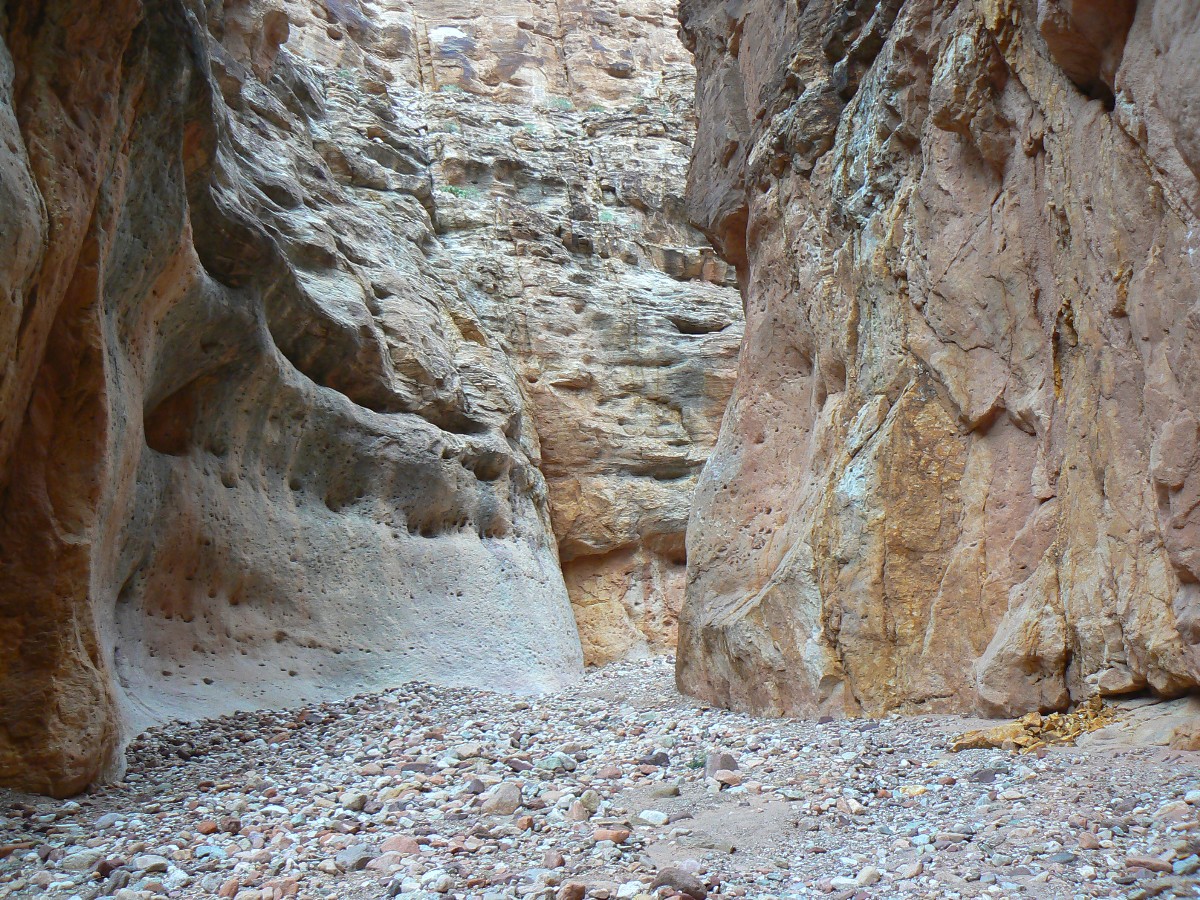
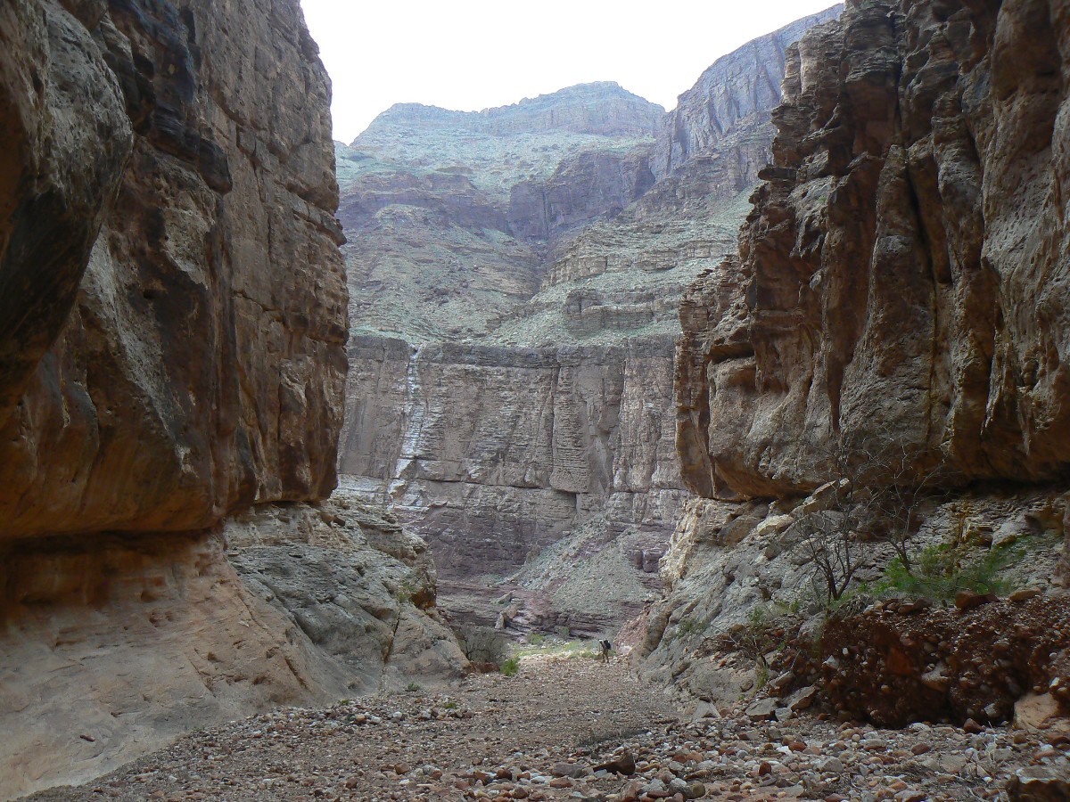
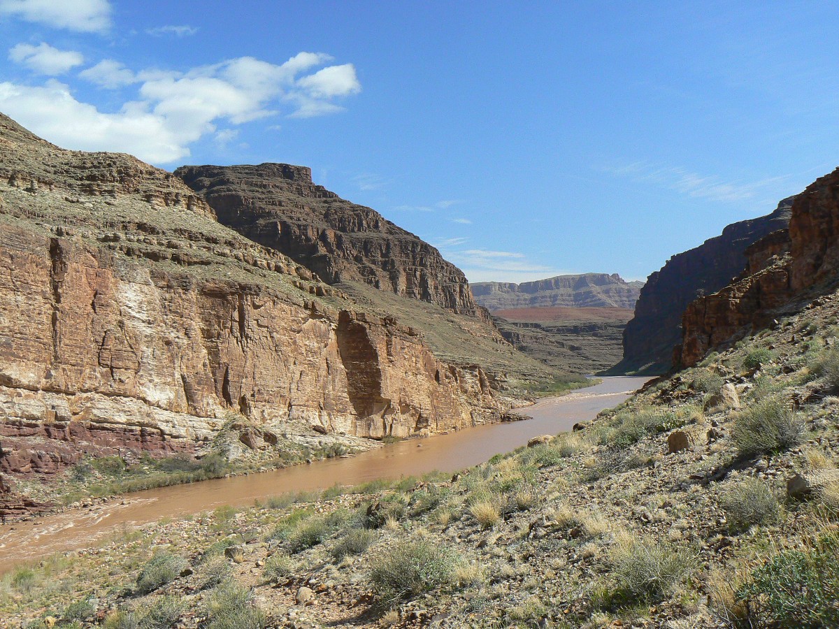
Day 14: Cairnage to Ruby? - Turquoise to Ruby.
6.8 miles (99.3 total miles on the TTT); down 730Æ (18,750Æ
total descent); up 850Æ (17,460Æ total ascent); ERM = 10; camp at 3100Æ.
The crystal water swirls through polished slickrock sluice
slots and over sculpted pour-offs as it travels down Ruby Canyon. Frogs bark and bah and
chortle a chuckle. Water and frogs are the natural quiet because weÆre finally far enough
away from and around enough rock peninsulas to quiet the unnatural noise pollution and
intrusions of air tour terrorists. No wind, and after local sunset ¢ behind the huge
Western wall ¢ only the bugs bug us.
We see one group of two on our jaunt from Turquoise, and
lose the main trail in one of the unnamed and rock-cluttered drainages. Cairnage to Ruby?
Often, there are duplicate or unclear routes. ItÆs humid and cloudy and so far without
rain. The Shaler and LeConte Plateaus provide scenic and wide-open cruising as we marvel
at the variegated basement rocks, ebony schists and gneiss injected with squirms of pink
Zoroaster Granite.
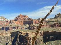
The down canyon challis (V-shape) view highlights the
staircase that is the North Rim of the GC, and the relief is of reds, grays, whites,
greens, salmon, and other hues, fading into the subtle nightly cast.

|
|---|
Day 14 - to Ruby
(Click the image for a full-size view)
|
|---|
|
|---|
Day 14 - to Ruby
(Click the image for a full-size view)
|
|---|
|
|
|---|
Day 14 - to Ruby
(Click the image for a full-size view)
|
|---|
|
|
|---|
Day 14 - to Ruby
(Click the image for a full-size view)
|
|---|
|
|
|---|
Day 14 - to Ruby
(Click the image for a full-size view)
|
|---|
|
|
|---|
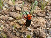
Luminous Beattle
(Click the image for a full-size view)
|
|---|
|
(There are - More photos below the trip narrative.)
Day 15: Ruby Slippers Take Me Home, or Transcending the TTT.
8.9 miles (108.2 total miles); down 1170Æ (20,080Æ total
descent); up 1300Æ (18750Æ total ascent); ERM 13.5; camp at 3200Æ.
The rubiginous rubescent reds of Ruby, embodied in the huge swaths
of Redwall, glow with morning low-angle light as the froggies sign out and the tinkling burble
of streamlet remains.
Rolling around the canyons, unnamed and Serpentine are tedious
because of rocks in all the small side drainages. And, itÆs growing toward hot. Finally,
weÆre around the Grand Scenic Divide and marveling at long views up and down river. This roll
along the contours is delightful. Then, the drop into South Bass, ending this Transcendental
Transnavigation of the Tonto Trail and Escalante Route. Yes, the Tonto officially continues
West to Garnet, where it is pinched out, and walking the Esplanade is the passable route.
But not for me, at least not today.
We search for water in rock pockets of Bass Canyon and find
enough to obviate a journey down to the Bass Tanks. A late camp near the Tonto going West
junction will do for tonight, sans froggies and burbling tinkles. ThatÆs it for and from the TTT.
|
|---|
Day 15 - to South Bass
(Click the image for a full-size view)
|
|---|
|
|---|
Day 15 - to South Bass
(Click the image for a full-size view)
|
|---|
|
|
|---|
Day 15 - to South Bass
(Click the image for a full-size view)
|
|---|
|
|
|---|
Day 15 - to South Bass
(Click the image for a full-size view)
|
|---|
|
|
|---|
Day 15 - to South Bass
(Click the image for a full-size view)
|
|---|
|
|
|---|
Day 15 - to South Bass
(Click the image for a full-size view)
|
|---|
|
|
|---|
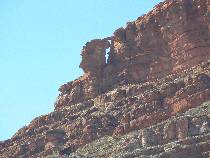
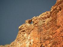
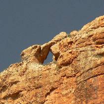
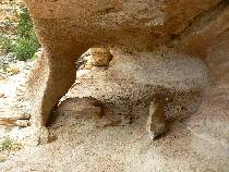
Falcon Head Arch
(Click the image for a full-size view)
|
|---|
|
|---|
Falcon Head Arch
(Click the image for a full-size view)
|
|---|
|

|
|---|
Falcon Head Arch
(Click the image for a full-size view)
|
|---|
|
(There are - More photos below the trip narrative.)
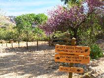
Day 16: Bassamatic TTT ¢ out to South Bass TH and home.
5.6 miles (113.8 total miles); down 260Æ (total trip descent
is 20,340Æ); up 2900Æ (total trip ascent is 21,840Æ); ERM = 11.6.
WeÆre grinding up into the shady slot before the glorious
stone steps, the stairway to heaven. The steps lead to a lilting trail swirl of the Supai
group. And then, a panoply of Pinyon Pines on the Esplanade plaza, leading to the junction
with the Royal Arch route.
Mike previously stored water here, and we relish in the
low mineral concentration water before the last leg up to the rim, passing the questionable
ruin and Turtle Leg Arch along the way.
The rim! A paisley profusion of emotions clot my mind.
Ending this version of the TTT via the Bassamatic.
|
|---|
Day 16 on the Bassamatic
(Click the image for a full-size view)
|
|---|

|
|---|
Day 16 on the Bassamatic
(Click the image for a full-size view)
|
|---|
|
|
|---|
Day 16 on the Bassamatic
(Click the image for a full-size view)
|
|---|
|
|
|---|
Day 16 on the Bassamatic
(Click the image for a full-size view)
|
|---|
|
|
|---|
Day 16 on the Bassamatic
(Click the image for a full-size view)
|
|---|
|
|
|---|
Day 16 on the Bassamatic
(Click the image for a full-size view)
|
|---|
|
|
|---|
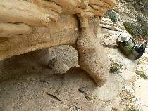
Turtle Leg Arch
(Click the image for a full-size view)
|
|---|
|
|---|
Turtle Leg Arch
(Click the image for a full-size view)
|
|---|
|
|
|---|
Terminus of the TTT
(Click the image for a full-size view)
|
|---|
|
"Night and day the river flows. If time is the mind of space,
the River is the soul of the desert. Brave boatmen come, they go, they die, the voyage flows
on forever. We are all canyoneers. We are all passengers on this little mossy ship, this
delicate dory sailing round the sun that humans call the earth. Joy, shipmates, joy."
Edward Abbey, The Hidden Canyon -- A River Journey

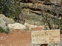
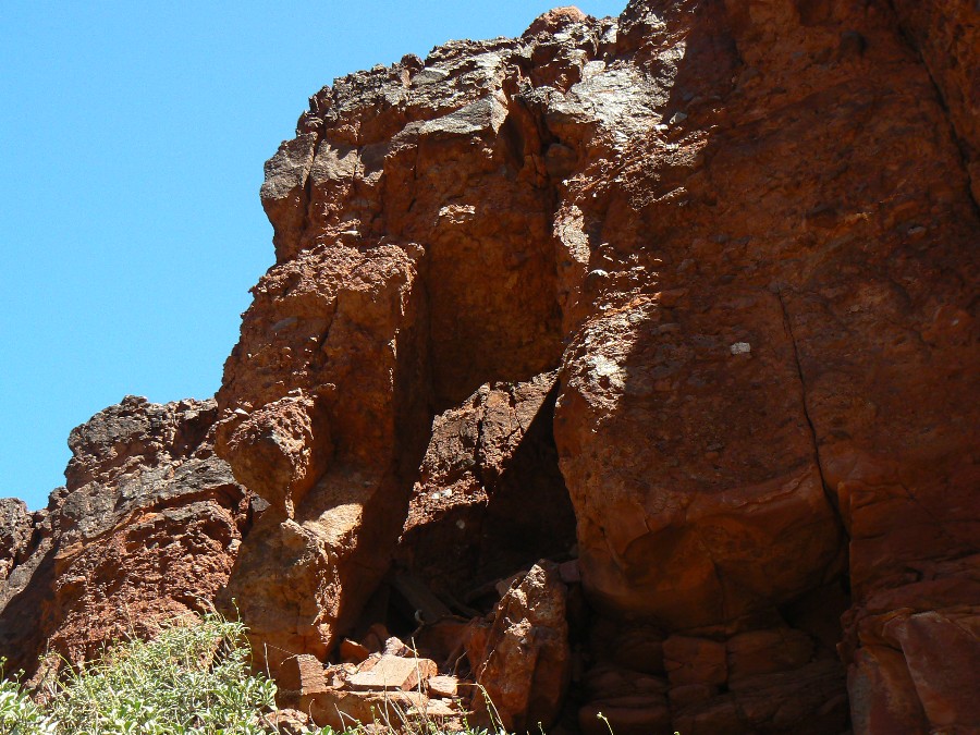
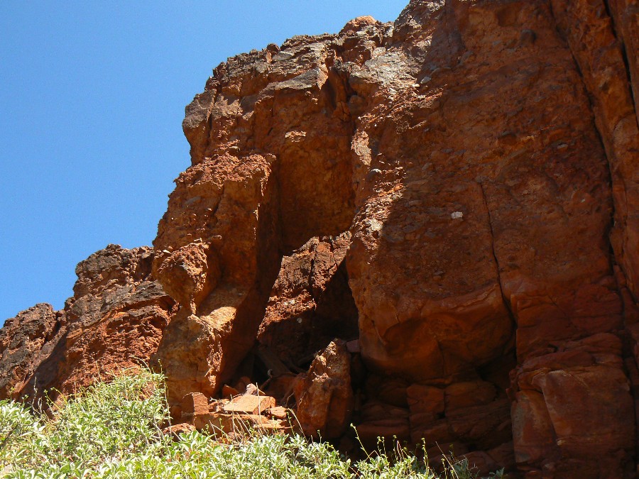
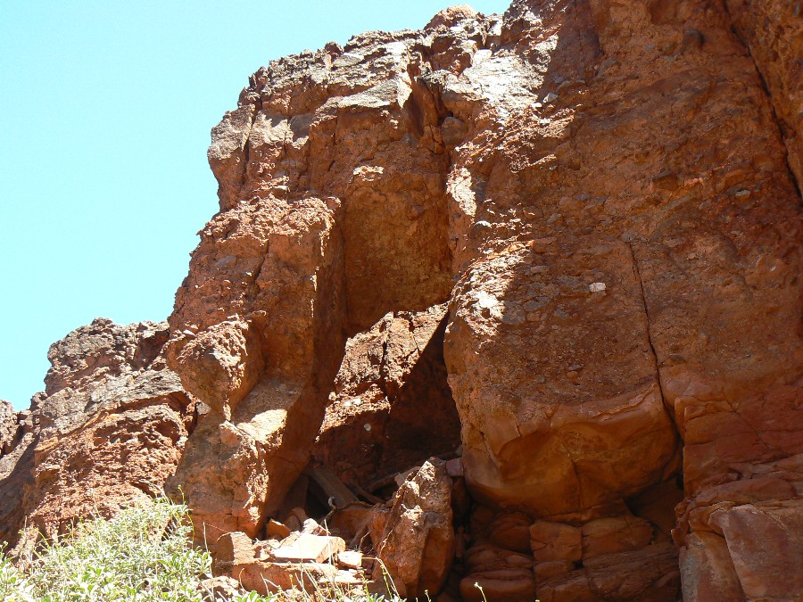
Arches of the TTT
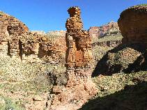
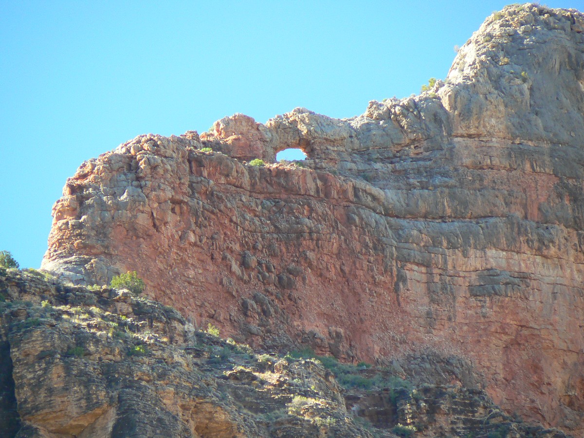
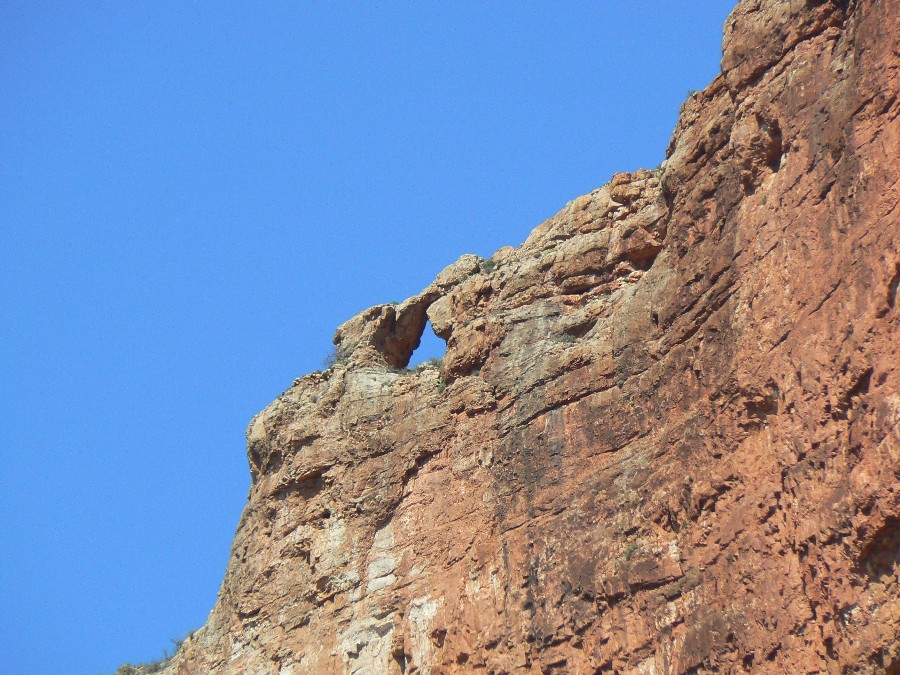
TTT Arch (Transcendental Trans-Tonto Arch):
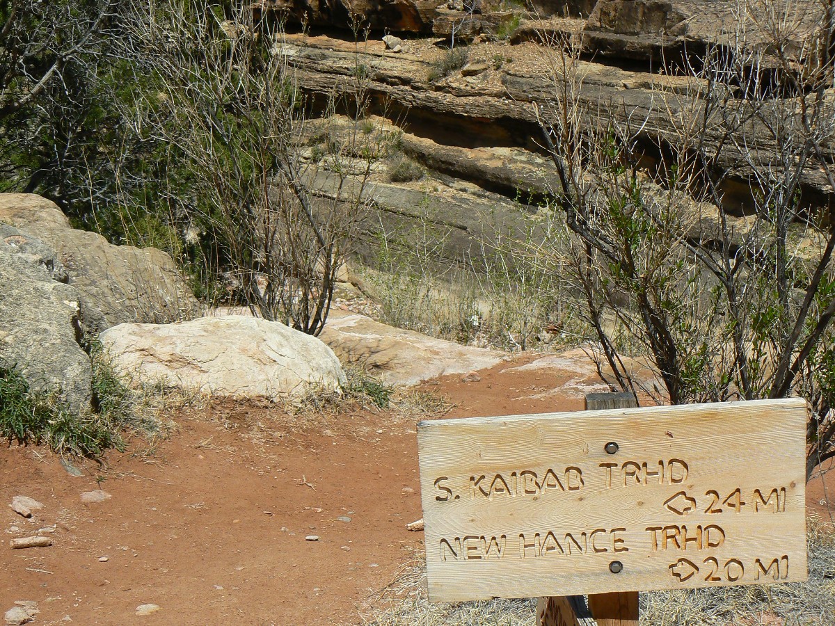
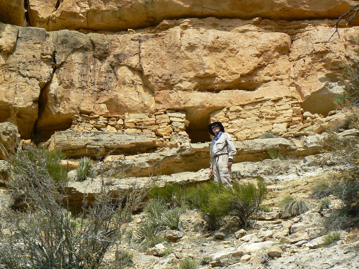
This arch is on the East side of Mineral Canyon on the Tonto Trail in the Grand Canyon. It is approximately 0.3 miles from where the Tonto Trail crosses Mineral Canyon, and is about five feet above the trail level. It was spotted during the Transcendental Trans-Tonto backpack, and thus its name.
You can see the arch location at the map included in this report.
Trans-Tonto Arch: UTM 12 S 415483E; 3988124N; WGS84
Pattie Butte Arch:
The viewpoint for Pattie Butte Arch is between Lonetree and
Cremation Canyons. Look high in the Redwall Limestone layer for this arch, which spans about 30 feet.
Coordinates for this viewpoint are UTM 12 S 405339E; 3993767N; WGS84.
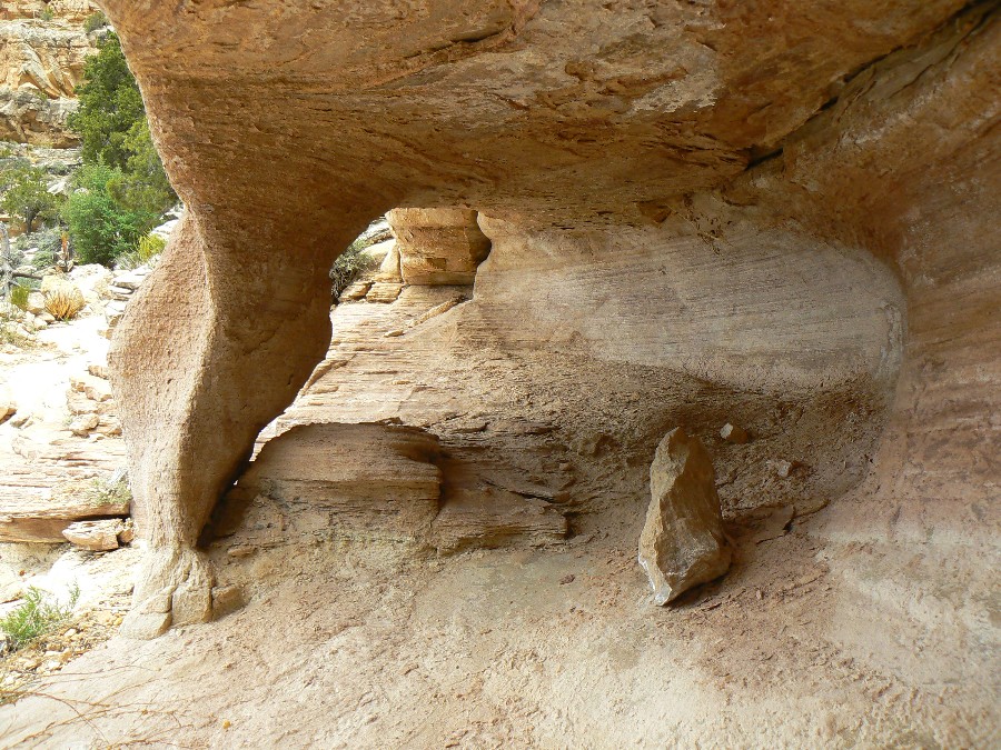
Karabiner Arch:
Karabiner Arch can be seen when entering Slate Canyon from the East on the Tonto Trail. This arch is perched on the top of the ridge continuing SW from Geikie Peak. It is called Karabiner Arch because it has that shape and looks as if it has a closed rope gate at the top. Once you get close to Slate Canyon Creek, you can no longer see the arch, and you a hike up the low ridges to the South will be needed to get another view. The arch can also be seen from the Agate Canyon side of Geikie Peak.
Estimated coordinates of Karabiner Arch:
UTM 12 S 384912E; 3998675N; WGS84
Note ¢ my original plan was to call this Carabiner Arch, yet this name was already taken. So, I used the German spelling, Karabiner.
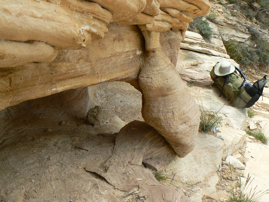
Falcon Head Arch:
While hiking the Tonto Trail in the Grand Canyon between Ruby Canyon and Serpentine Canyon, look high on the Redwall East of Havasupai Point from the unnamed drainage East of Havasupai Point (first unnamed drainage N of Ruby Canyon) for Falcon Head Arch. ItÆs a good place for soaring falcons.
A good arch view point along the trail is near UTM 12 S 380218E; 4005712N; WGS84.
The very approximate (estimated) location of the arch is:
UTM 12 S 379620E; 4006050N; WGS84.
Turtle Leg Arch:
Turtle Leg Arch is about 0.75 miles down the South Bass Trail in Grand Canyon National Park. It is in the lower portion of the Coconino layer (white sandstone). This arch is right beside the trail and can be seen at the UTM coordinates of:
Turtle Leg Arch: UTM 12 S 376737E; 4005470N; WGS84

|
|---|
BP Metaphor - what happens with continued overpopulation
(Click the image for the full-size image)
|
|---|
|
Postscript:
A Safe Operating Space for Humanity? Or
Death by Over Population?
Nature.com has weighed in on over population and the end of
nature. At the core of nearly every (all?) environmental and social problem is reducing
human population.
link to - blogs at nature.com
LIMITS TO GROWTH: NOW ITÆS CALLED "PLANETARY
BOUNDARIES". It seemed to many of us that the culture police must have outlawed any
mention of Earth's ultimate problem. The word "population" is now rarely mentioned by the media.
This week in Nature, the population problem is given a new name. "A Safe Operating Space for
Humanity" is the Feature in today's issue. ItÆs an edited summary of a longer paper available
at the Stockholm Resilience Centre. The study was led by Johan Rockstrom. To facilitate debate
and discussion, Nature is simultaneously publishing a number of linked commentaries from independent
experts. It may be the most important project Nature has ever undertaken. Numerical boundaries
to human activity beyond which our planet would risk not recovering are: anthropogenic climate
change, ozone depletion, ocean acidification, biodiversity, freshwater, the global
nitrogen and phosphorus cycles, and change in land use. In the case of anthropogenic climate
change and human modification of the nitrogen cycle we may already have crossed the boundary.
It could be argued that the boundaries are simply surrogates for the overriding problem of
reducing human population.
POPULATION: WHERE IS MALTHUS WHEN WE NEED HIM?
Even as Nature featured the problem of "planetary boundariesö (WN 25 Sep 09), a special issue of
New Scientist asked, why isn't population control a key priority. Paul and Anne Ehrlich,
clearly thought it should be. They note, as Malthus did 200 years earlier, that we have a choice
between a falling birth rate and a rising death rate. Jesse Ausubel, however, argued that
technology will save us. Where has he been? We already have the technology to save us; the
pill has no side effects, is 100% effective, and is cheap as aspirin. Reiner Klingholz worried
that problems in Europe will grow as the European population shrinks. It's been shrinking for
years, and the last time I checked Europe was doing great. Fred Pearce blamed overconsumption.
The poor half of the worldÆs population, he says, is responsible for just 7% of the world's
emissions. Perhaps he's suggesting that we should make sure they remain poor lest they
exacerbate warming.
ōAbolition of a woman's right to
abortion, when and if she wants it, amounts to compulsory maternity: a form of rape by
the State.ö Ed Abbey
ōGrowth for the sake of growth is
the ideology of the cancer cell.ö Ed Abbey
|
|---|
tea baggers - your definition of hypocrisy
(Click the image for the full-size image)
|
|---|
|
Links:

Map and Mileage Table:
|
|
|---|
Map - GC: Transcendental Trans-Tonto; 2010; 114 miles
(Click the image to see the map)
|
|---|
|
for a full-resolution map, click here. Caution - do not use this map or gps track for
navigating the route.
 Click here to see the NPS trail distance estimates (two pages) for the Tontour.
Movies: Start downloading one, or two, while you read the above text....
Movie of Ruby Canyon near sunset - Day 14 - 28 MB
Movie of chocolate thunder at Hance Rapids - Day 3 - 13 MB
Panoramas:
Panorama of Escalante Route - Cardenas ruin - Day 2 - scroll to view it (6560 x 900; 1.4mb)
Panorama Tonto Trail edge (near old Grandview Tr. descent to River
- Day 5 - scroll to view it (4315 x 600; 2.4mb)
Panorama of The Tonto - from Day 13- near Turquoise Canyon - scroll to view it (8600 x 900; 1.8mb)
Other WV reports about the Grand Canyon:
Click here or on the Looking Lizard to go to all WV reports about The Grand Canyon

|
|---|
Looking for All Wilderness Vagabond trip reports about the Grand Canyon?
Click the image to go to All WV reports about The Grand Canyon
|
|---|
|
Related Links:
Scenic Toilets of Inner Earth
the geology of the Grand Canyon by the NPS
| | | | | | | | | | | | | | | | | | | | | | |


