Text and photos © copyright by Rob Jones

Co-adventurers: Dave Rumbellow, Mark McKenzie, Mike Garvey, and Rob
Total miles = 76; Total trip *ERM = 118
In this report, you will see 17 panoramas, 138 photos, 1 map, and 7 cartoons.
| ||||

Total miles = 76; Total trip *ERM = 118
In this report, you will see 17 panoramas, 138 photos, 1 map, and 7 cartoons.
| ||||
Total trip miles hiked = 76; ERM = 118 (estimated).
Grandioso = grand and imposing.
in a broad, commanding style.
*ERM = Energy Required Miles. A mile is added for every 500' elevation gain or loss. ERM was initially used in Trails of the Tetons (long out of print) by Paul Petzold, founder of NOLS. It's a wonderfully useful concept and application. Add one mile for each 500' up AND down to distance = ERM. I use ERMs to calculate what the actual day is like. It's a very serviceable method of estimating energy required miles.
Estimated mileage and ERM for this trip - GPS trip total of 76 miles with an elevation change of 10,500' up and the same down, for an ERM of approximately 118.

| ||||
"Take the time to listen to the ambience of the sounds of nature surrounding you. You are a mere cog in the wheel of chaotic coincidences that drive evolution."
Peter Francis Tassoni (2001, pg. 170) A Hiking Guide to Cedar Mesa: Southeast Utah, University of Utah Press."Before you criticize someone, you should walk a mile in his shoes. That way, when you criticize him, you are a mile away from him and you have his shoes."
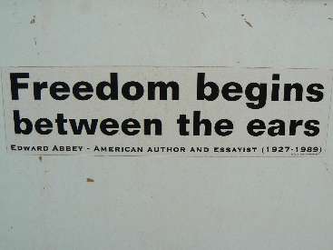
- Idaho Joe Smegma."Freedom begins between the ears."
- Ed Abbey, 1927-1989."Reality has a well-known liberal bias."
- Stephen Colbert.
Day 1: Junction Jaunt:
to Junction Ruin; 3.7 miles; ERM = 6.7
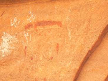
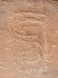
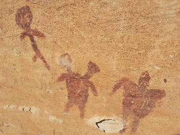
The red snake slithers toward the pueblo balanced on a slab of Cedar Mesa SS
(sandstone). Frozen in motion, this pictograph (picto) is the first typically seen when entering The Grand
Gulch (GG) via the Kane Gulch access. Yes, frozen is the correct descriptor for today - we started out wearing
lightweight long johns, pants, thermal shirt, long shirt, ear band or hat, with gloves and other items added
as needed. It's nearly May, praise the lord for overpopulation and global climate change. Water froze in water
bottles left outside the tent last night.
We accomplished the car/cache placement at Collins TH last night, then the
same for Slickhorn #1 this morning - getting a late start from Kane RS. John and Janet (long time GG volunteers,
now of the BLM) entertained those of use waiting for the shuttle to be completed. Highs in the 50Fs and lows in
the 20Fs. Burr.
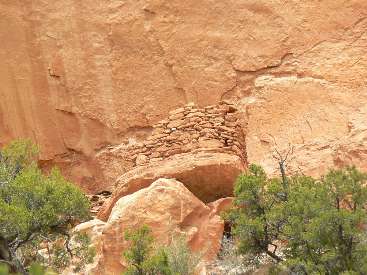
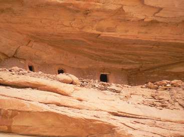
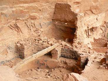
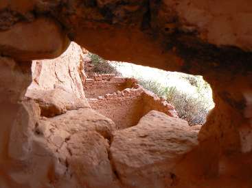
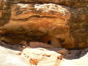
After a bit of warmth provided by proper placement of the Junction Ruin, dinner,
and soup, we all opt for the warmth of the bags in the cold wind and decreasing temps brought by local sunset.
Burr. Welcome to GG.
| ||||
 |
 |
 |
 |
 |
 |
 |
 |
 |
 |
 |
 |
 |
 |
 |
Day 2: Tracking the Ruins: to Split Level; 6.0 miles, ERM = 8.0.
The piercing Peregrine cries dominate the morning wind and echo from
ruin alcove to sun-dappled canyon walls. Eeii, eeii! It's another teeth-chattering cold morning and
it stays cold until well after lunch and then creeps in again with local sunset. Burr, seems to be the
mantra of the trip so far. That and "ruination."
I get off my thermal shirt for the first time this trip, then layer it and
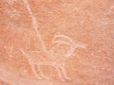
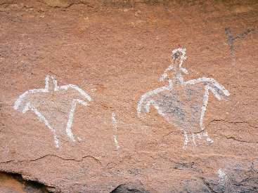
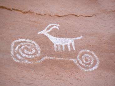
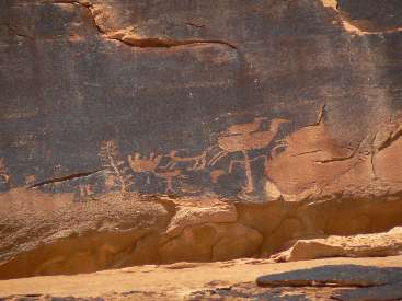
other items on as sunset approaches. Yet, what a day ruins and ancient artwork. Deluxe! Turkey Pen, Sheep
on a Bicycle, Todie Canyon, Lion Track (with the panoply of green masks), and Split Level are the major stops
today.
The aura and ambiance of ancient artists and craftsmen whispers across the
eons, the message is there - "keep your population low - along with your personal inflation rate (no loans,
etc.) - keep your corn, beans, and squash dry and your pack light." Far wiser words than those screamed by
religionists, who call for more, more children, more war (there is, after all, only one religion - all others
are false -- so, can any be 'true?,' more stuff so you can donate more to the a
church, etc. Elect those republicans, forget what the kind parts of the bible says about helping the poor
(mentioned about 180 times) and instead focus on the awful stuff (steal from and marginalize the poor to benefit
the rich, terror over gays, honor the money changers, etc., mentioned about 7 times). Yes, there were once
republicans who cared about the social good of all. No more. The modern day republican is focused only on
transporting all money into the hands of a few, cascade up, cascade up. A trickle down? No, unAmerican. Socialize
loss, privatize gain, Yes. Republicans talk about religion, but behave like the greedy, selfish, despots they are.
The data are that... "The United States ranks last in child income poverty,
has the largest
difference in ratio between the richest 10% and poorest 10%, and has the highest percentage of people living
below 50% of the country’s median income." ... yet it is not PC or patriotic to talk about data, only
flag-waving and religious symbols are important, a tea-bagger mainstay.
See the rest of the report, including this
summary: "The United States is the least developed of the developed countries in most areas. The US
has high personal income, high productivity, large houses, and ample higher education, however, it is the
most militarized nation, has the highest population growth, the most uneven distribution of income,
mediocre basic education, the lowest health status, the highest health care costs, much higher crime,
less leisure time, more abortion & teen pregnancy, and a lower status for women. The United States is
the least environmentally sustainable of the developed nations, the most polluting, and the most dependent
on fossil fuel.
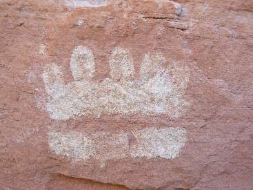
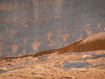
Somewhere at Todie is a descriptive gem - bear tracks, duck decoys (or
headdresses?) on figures, time swirls, and more. A great diversity greets us at Lion Track, including a
host of green pigment masks, doodles of petroglyphs (petros), anthropomorphs, and of course, Lion tracks.
The broken metates are fringed by pot shards of several construction types - less disturbance, it seems this
site is less well-known. Of course, the Wetherills and other subsequent pot hunters have looted and vandalized
all the GG sites.
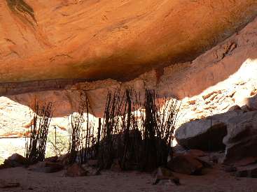
On a bit more to camp and a brief bath on a solar slickrock - then on go the
layers as camp is shadowed by local sunset.
| ||||
| ||||
| ||||
| ||||
 |
 |
 |
 |
 |
 |
 |
 |
 |
 |
 |
 |
 |
 |
 |
Day 3: Perfect Kiva: to Bullet-GG confluence, 5.6 miles; day
hike to Perfect Kiva, 5.4 miles; ERM = 16.
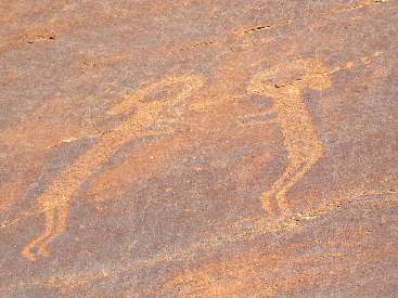
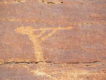
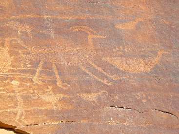
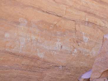
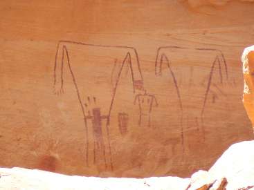
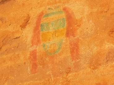
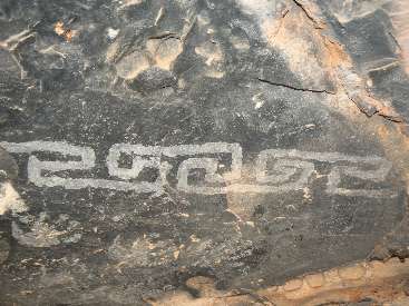
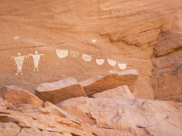
Yellow vacant eyes, framed by ochre and green, stare out from eras past at
the Sheik Canyon panel. The infamous Green Mask, set aside from the women with large breasts, the breach
birth scene, and a plethora of line images, grimaces from the past. The Green Mask panel is the most significant
site we see today.
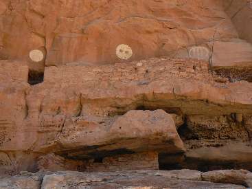
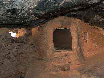
Dropping packs at the confluence of GG and Bullet, I hike lightly up Bullet to
Jail House Ruin (and flowing spring) and around on the shelf from Jailhouse to The Perfect Kiva. Climbing
into the ebony-walled darkness of the Kiva, one can easily envision the men's group chanting or telling stories
or planning their next artistic event.
It's been a pleasant day and I actually hiked without thermal apparel today. Yahoo.
| ||||
| ||||
| ||||
 |
 |
 |
 |
 |
 |
 |
 |
 |
 |
 |
 |
 |
 |
 |
 |
 |
 |
Day 4: Corn Man in the Jungle:
to Polly's Canyon; ERM = 15.
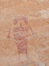
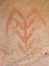
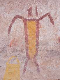
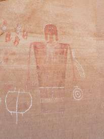
The heart of the Corn Man is yellow, with a husk of red. Sort of like
the republican or tea-bagger farmer, banker, rich elite, yellow inside and a red socialist core - socialize
loss (farm subsidies, bank bail-outs, no taxes for the rich) and privatize gain. The a good book teaches
"live simply so others can simply live," yet republicans and their carry water tea-baggers simply take it all.
Red arms of the Corn Man look more like wings - a flying maize man.
We've waded the jungle clogging this section of GG, with entrenched paths so deep I've shortened my
hiking poles to where they are kid length.
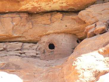
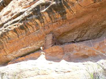
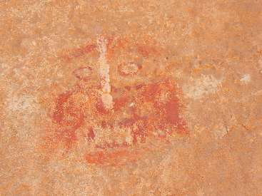
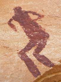
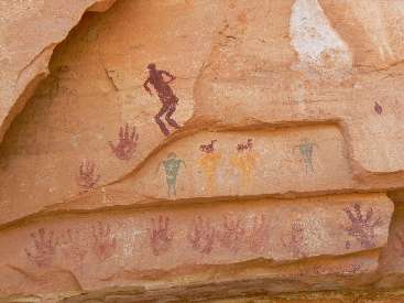
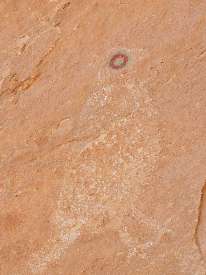
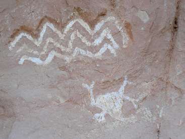
Ahh, the ruins and rock art - deluxe! A green-eyed quail down panel from
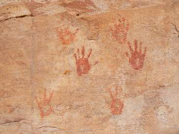
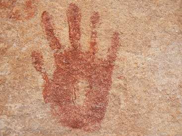
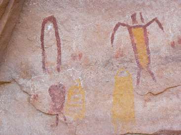
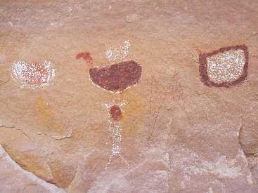
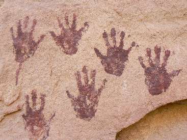
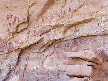
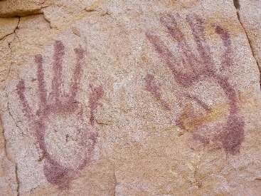
an angry-looking owl mask. A skier and handprints of all forms and in many colors. Duck decoys or headdresses
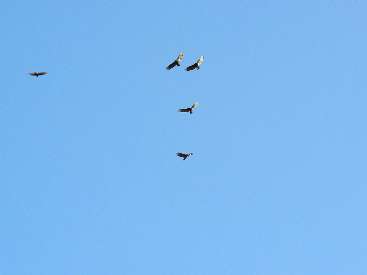
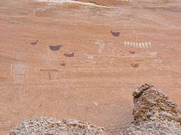
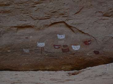
on anthropomorphs. Ghost-like figures, then a panel of multi-colored birds grace a narrow slot of The Gulch.
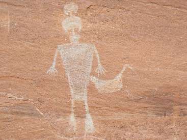
And, of course, there's the Big Man Panel before the completion of the foot-thumping sand walk to Pollys and water.
Sunset lingers pink as we complete camp chores in this abandoned meander.
Rincon. A corner of rock. A few mosquitoes come out to dine as the temperature dips drastically from our
first t-shirt day.
Good night from Pollys Island in The Gulch.
| ||||
| ||||
 |
 |
 |
 |
 |
 |
 |
 |
 |
 |
 |
 |
 |
 |
 |
 |
 |
 |
 |
 |
 |
 |
 |
 |
Day 5: Railroaded to Bannister:
to Bannister Ruin; 7.7 miles; ERM = 10.0.
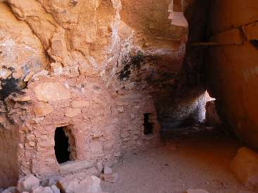
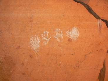
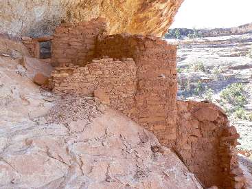
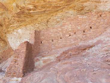
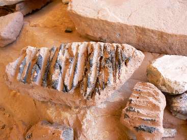
Chipped and pecked deep in the robust desert varnish, the train-resembling
figure is flanked by what might be a representation of the transcontinental trunk line (aerial long-distance
phone line). What a wondrous find, the so-called Railroad Panel glows ebony, a sandstone canvas of yore.
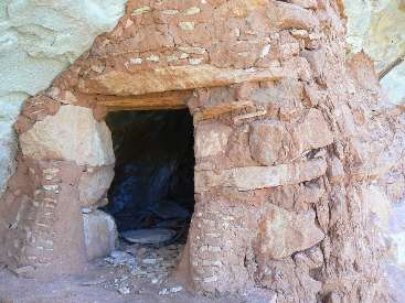
We start out with a visit to a ruin and old charcoal signatures from times
unknown - up the abandoned meander forming Pollys Island. Then, we clomp down canyon in a sand slog to
Fortress Ruin - apparently named for the position (high in an alcove) and the many angled spear (or whatever)
ports in the walls.
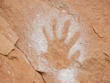
Continuing on, we see the Railroad Panel and Round House before filling water
bottles at the Big Pour Off and discussing whether all want to try for the whole circuit to Slickhorn.
Ominous harbinger.
Deciding to move things along to preserve options, we flog along to camp
near Bannister Ruin - where pleasant temperatures continue past sunset.
Spirits of old lurk throughout the night - making dreams interesting.
Perhaps it's the shrill of the froggies and toads or the timid hoot of a small owl in the Cottonwoods?
| ||||
 |
 |
 |
 |
 |
 |
 |
 |
 |
 |
 |
 |
Day 6: Collins Cacherama:
resupply at Collins TH; 7.2 miles; ERM = 10.5.
The wild Salmon slithers and slips sinuously down into my gullet; as their
wild kin once did up and down the Columbia, the Snake, the Middle Fork Salmon, to the headwaters of the MF in
Central Idaho prior to the damnation of these once-wild rivers. And, here I am, eating canned wild Salmon
cached at Collins TH, and thinking sandstone, yet also thinking about those once-wild Salmon, development
arrested at some salmon farm, far from their anadromous ways. Flipping foul.
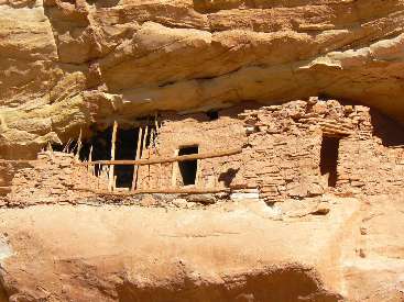
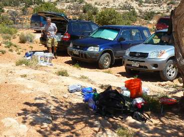
The Collis cache, in Mike's car, includes some other goodies along with a new
supply of fuel, dinners, lunches, breakfast items, sunscreen, soap, and a change of socks and a t-shirt.
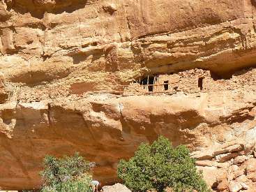
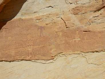
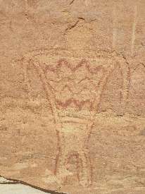
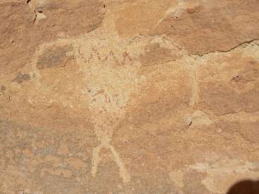
We start the day visiting Bannister ruin and then continue down canyon to find
the blanket men and the two-headed picto. We pass the rincon near Collins Canyon, not pausing to look for the
duck-head and other pictos hiding there. The sun is hot as we sag back into The Gulch loaded with more supplies.
Cache-arama. The verdant green Cottonwood leaves, the azure sky, and the reddish sections of Cedar Mesa SS
form a natural color wheel. Acrobatic bats ply the air after sunset and with the silencing of the hearing-hampering
stoves, natural quiet settles over our sand camp at the mouth of Collins like a comfy and fluffy blanket.
 |
 |
 |
 |
 |
 |
 |
 |
 |
 |
 |
 |
Day 7: Grand Snowstorm?
to Grand Arch; 11.2 miles; ERM = 17.
White fluffy piles swirl about my boots, a great deal more careens laterally
through the air. A tiny dust devil whips the white fluff into a pygmy tornado. Grand snowstorm? No. The
seeds of many Cottonwood are dispersing - an interesting approach to propagation, a bit like the nearby mormons.
We've pulled out of the sun and into the full shade of an overhang for a snack.
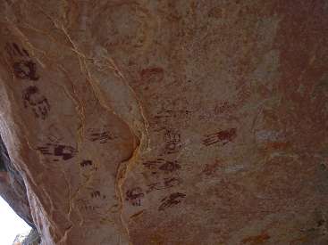
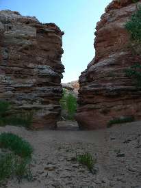
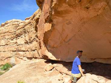
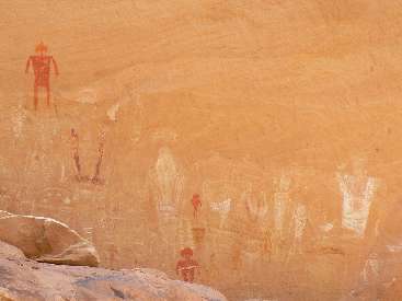
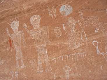
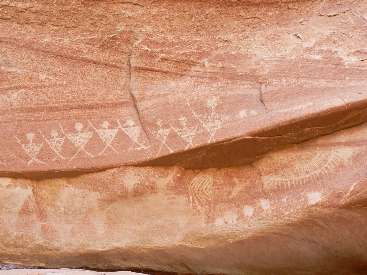
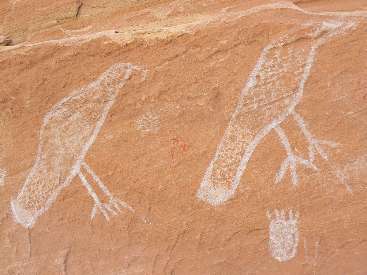
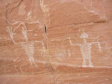
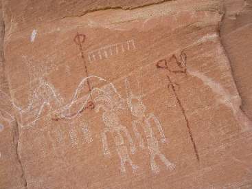
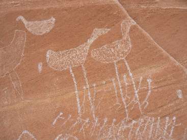
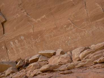
Soon, Mark sees pictos in a narrow and high alcove. Hand and footprints. The
next corner holds the "100 hands" and some feet pictos. Ranging along, the canyon walls growing taller, we
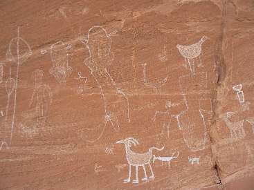
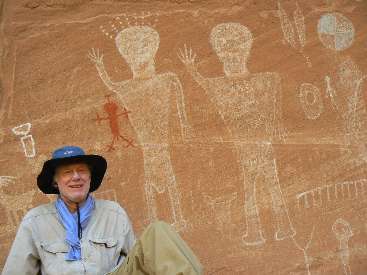
encounter the Big Panel #2, with anthropomorphs engaged in a ceremonial séance. Somehow, I walk past Big Panel
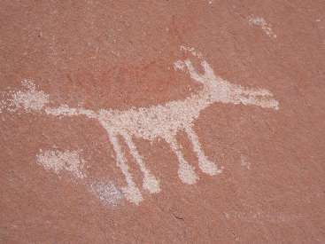
#1 and have to return and climb up onto the broad, then narrowing bench to view the spacemen surrounded by
ravens, sheep, bear prints, coyotes, and lots of spirit worldly creatures. Few structures grace today's
foot-flattening trudge, yet we're fortunate to have water pockets along the way and damp sand and rocks in
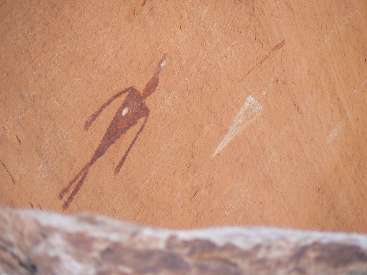
places - which makes the walking a bit easier. Passing Red Man Canyon, I note a small solitary red figure at
the junction with The Gulch.
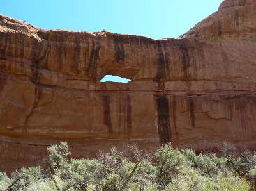
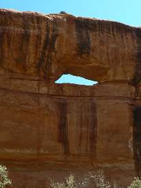
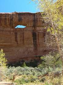
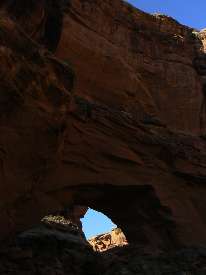
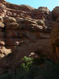
Now, the slogging becomes a flogging, and we eventually reach Grand Arch and
see a buttress adorned with hand and other prints. A sliver of new moon grows as dark descends and leg muscles
begin to twitch goodnight.
| ||||
| ||||
| ||||
 |
 |
 |
 |
 |
 |
 |
 |
 |
 |
 |
 |
 |
 |
 |
 |
 |
 |
 |
 |
 |
 |
 |
 |
Day 8: Rincon Roundup, or Disappointment Di jour:
to pour-off and retreat up canyon; 7.4 miles; ERM = 9.5.
I'm sitting on my rock ledge where I've anchored the TarpTent with rocks,
writing notes in the last minimal light of day about the disappointment di jour. The plan was to camp
today as near the San Juan as possible - perhaps even be "invited" to share the boater beach, then tomorrow
find and hike the route between GG and Slickhorn and then continue to Slickhorn #1 TH, where we staged Mark's
truck. However, after slogging from the arch, the slow, boulder-infested (last 1/2 mile) distance to the pour-off,
all others decided to quit without a close look at the route around the pour-off. Astonishment. I walked the
route a few times and found the "perception of danger" reported by Lon A., wise sage of the GC backcountry office.
So, the distant perception ruled and the loopo was cancelled in favor of a return slog back up GG. Disappointment.
Puzzlement. How could the perception of danger overrule the short challenge? We've hiked many more difficult
sections to get here.
(Note to reader - beware, this could monkey-wrench your trip.)
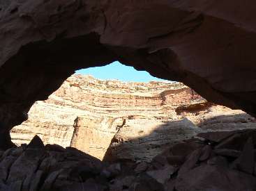
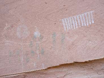
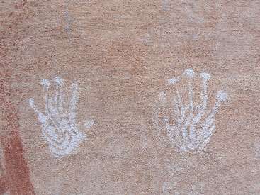
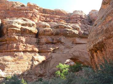
The day started well enough, with a closer examination of the many stylized
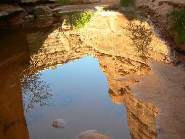
hand prints and a few pictos on the arch buttress. Then, rock and wet sand walking to Shangri-La Canyon,
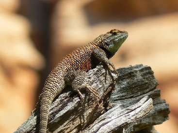
where water seems permanent - as indicated by the cattails, rushes, and green froggies. Water is prevalent
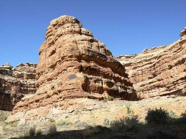
to the pour-off and perhaps beyond. Ah, the "perhaps" again. Along the way, we pass a number of rincons. So,
as the up canyon froggies begin their nightly chorus, I go to bed with a heavy heart.
| ||||
 |
 |
 |
 |
 |
 |
 |
 |
 |
 |
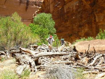 |
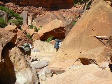 |
 |
 |
 |
Day 9: Windy Rewind:
to above Red Man Canyon; 9.8 miles; ERM = 11.8.
The screaming, shrieking wind barely ripples my TarpTent nestled in a nook of
tammies, Cottonwood, and Rabbit brush. A suitable windbreak as the shrieking continues through the night. It
began to blow shortly after we start hiking today. I stowed my camera inside the pack to protect it from
flying sand and dust. It's a good thing most of the wind comes from the South, and thus at our backs rather
than in our faces.
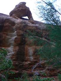
Today is a rewind of 2 days ago - although, of course, the landscape looks
different hiked another direction. It's cooler too - somewhat easier hiking. Ensconced in camp (several
possible camps were rejected because they are wind tunnels and/or without water nearby), I see an arch perched
on the wall when getting out of the tent. A quick bath and my hair is quickly blow-dried. Just before camping,
we meet Aaron and Nancy - happy and headed for the arch and points beyond. The night sky is murky with a man in
the moon gazing down.
| ||||
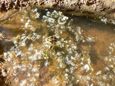 |
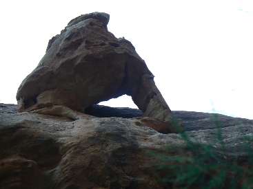 |
 |
Day 10: Full Flush?
to Collins TH and home; 7 miles (GPS trip total of 76 miles with an elevation change of 10,500' up and the same
down, for an ERM of approximately 118).
I've gone out to see a man about a horse, found a bench far enough from the
drainage and am about to do my business when... The thunder rumbles through the canyon and a rash of water
and hail descend. Yikes. Channels of water and rocks spurt off the slickrock slot above. Yikes some more.
I'm pinned flat against the sandstone wall as rocks and water spout above, mostly missing me. A brief respite
in the storm and I run for my tent, quickly rolling up the wet tent and slamming it and my other gear into the
pack. I bury the camera in the pack liner - it's not a safe place for cameras right now.
The waterfalls boom off the cliffs, adding enough water quickly, enough that
water backs upstream, creeping over the sand and rocks like a silent and frothy ghost. Previously passable
channels are submerged. Slogging ensues. Just walking through the long grass soaks my precious Lowa boots,
leather lining growing in weight.
The Narrows! I try to recall the depth of the drainage through The Narrows.
Fearing a Zion Swim Team experience (named after a floaterama through the Zion Narrows following a rainstorm
- where I discovered that a pack lined properly (in this case a river bag liner) will float the wearer as long
as you balance the buoyancy by sticking out your legs just the right amount), I repack my pack so that the food
bags and all important items are in the pack liner. By the time I do this, Mark has waded out and found that
the water is knee-deep in The Narrows.
The sun returns as Mark and I get to the bottom of the Collins Trail. A while
later, Dave and Mike arrive, and we walk to the TH without further water issues. So, not a full flush. We meet
some hikers entering GG, and I give Thomas what alum I have to help the group settle silt stirred by the rains.
See John Ladd's summary of alum use to settle turbid water.
Click here to see Alum water treatment for backpackers - summary by John Ladd.
Sailing along the highway to undo the shuttle placement seems surreal.
Much too fast. Then, the long drive back to Northern Arizona for Mike and me, and back to the land of smog and
propagation for Dave and Mark.
Grandioso Grand Gulch!
And - as I finish typing my notes, I note that today (May 17, 1903) is the anniversary of when President Teddy Roosevelt camped with John Muir in Yosemite.
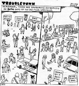
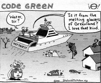
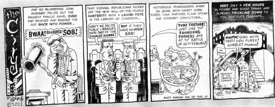
And, while we're on the topic of floods - this article popped up, written by Bill McKibben, author of "The End of Nature" about global climate change:
| ||||
 |
 |
 |
 |

| ||||
Peter Francis Tassoni (2001) A Hiking Guide to Cedar Mesa: Southeast Utah, University of Utah Press.
Bucolic Butler Wash: Ruins or ruination? Butler Wash – Cedar Mesa area, Utah, 2009
Cedar Mesa Somewhere - Hiking the Trails of the Ancients, 2001
Click here to see Alum water treatment for backpackers - summary by John Ladd.
Bill Mckibben - climate change and the flood this time.
Click here to see The Archman's site on Utah and area arches.
Abbey's Web -- The man who is Desert Solitaire.
Ben's Scenic USA - Picture of the Day.
Steve's excellent photos - birds in flight, panoramas, etc.
We Are Breeding Ourselves to Extinction (click here for full article)
All measures to thwart the degradation and destruction of our ecosystem will be useless if we do not cut population growth. By 2050, if we continue to reproduce at the current rate, the planet will have between 8 billion and 10 billion people, according to a recent U.N. forecast. This is a 50 percent increase. And yet government-commissioned reviews, such as the Stern report in Britain, do not mention the word population. Books and documentaries that deal with the climate crisis, including Al Gore’s “An Inconvenient Truth,” fail to discuss the danger of population growth. This omission is odd, given that a doubling in population, even if we cut back on the use of fossil fuels, shut down all our coal-burning power plants and build seas of wind turbines, will plunge us into an age of extinction and desolation unseen since the end of the Mesozoic era, 65 million years ago, when the dinosaurs disappeared.
We are experiencing an accelerated obliteration of the planet’s life-forms—an estimated 8,760 species die off per year—because, simply put, there are too many people. Most of these extinctions are the direct result of the expanding need for energy, housing, food and other resources. The Yangtze River dolphin, Atlantic gray whale, West African black rhino, Merriam’s elk, California grizzly bear, silver trout, blue pike and dusky seaside sparrow are all victims of human overpopulation. Population growth, as E.O. Wilson says, is “the monster on the land.” Species are vanishing at a rate of a hundred to a thousand times faster than they did before the arrival of humans. If the current rate of extinction continues, Homo sapiens will be one of the few life-forms left on the planet, its members scrambling violently among themselves for water, food, fossil fuels and perhaps air until they too disappear. Humanity, Wilson says, is leaving the Cenozoic, the age of mammals, and entering the Eremozoic—the era of solitude. As long as the Earth is viewed as the personal property of the human race, a belief embraced by everyone from born-again Christians to Marxists to free-market economists, we are destined to soon inhabit a biological wasteland.
 |
 |
 |
|
Wild Vagabond Main |
Trip Report Index  |
Caveat  |
|---|