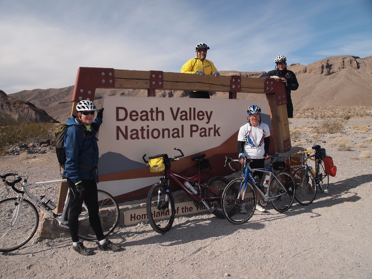
Biking and Hiking Death Valley
Biking Bad Water and Artist Loop, Stove Pipe Wells, and the Armagosa Crest
Hiking Golden and Gowen Canyons, Sidewinder Canyon, and Wildrose Peak
| ||||
Death Valley Dreaming 2012
 |
 |
 |
| ||||
| ||||
|
|
|
| ||||
Photos are scattered throughout this report.
Keep scrolling.
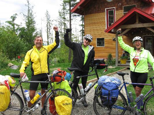
This trip was organized by Cheryl Soshnik and others of the Wasatch Mountain Club.
Preliminary: First, Kathleen and I drive to Fresno, see Gordon and Beth, have a 4-hour lunch with George Whitmore and Nancy. Then, Kathleen stays in Fresno while I head to DV.
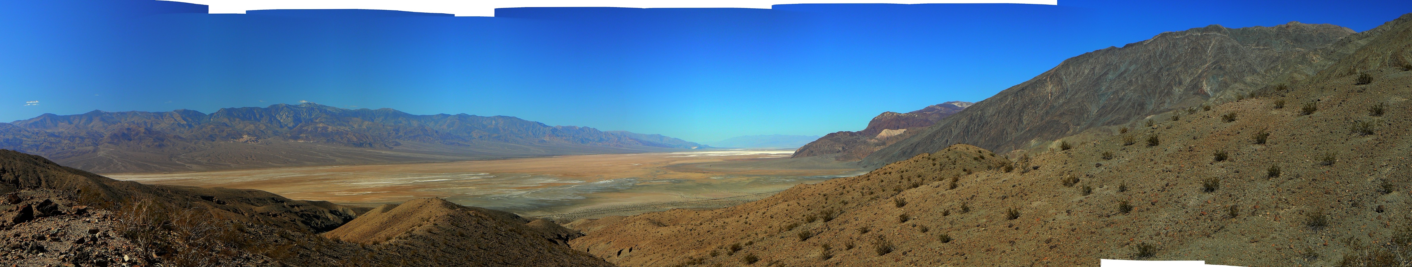
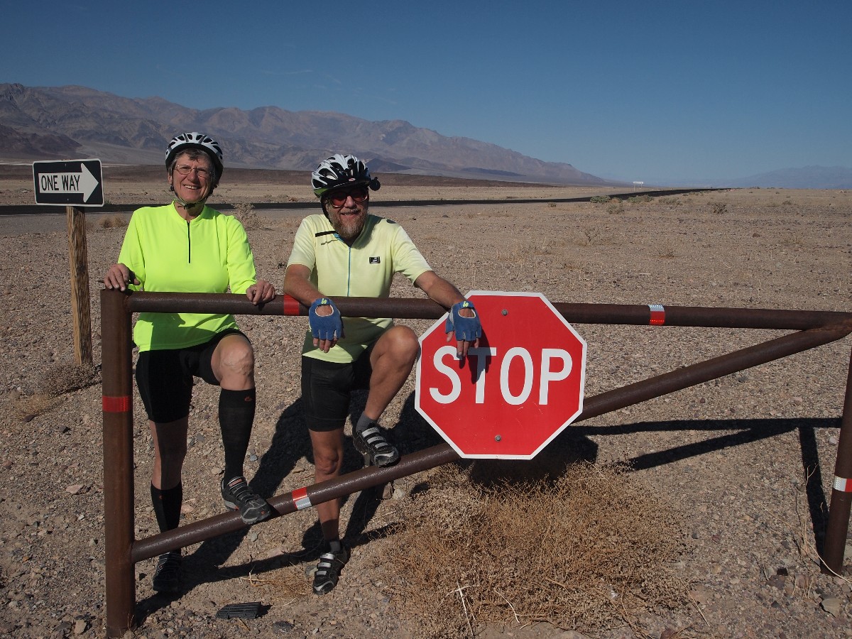
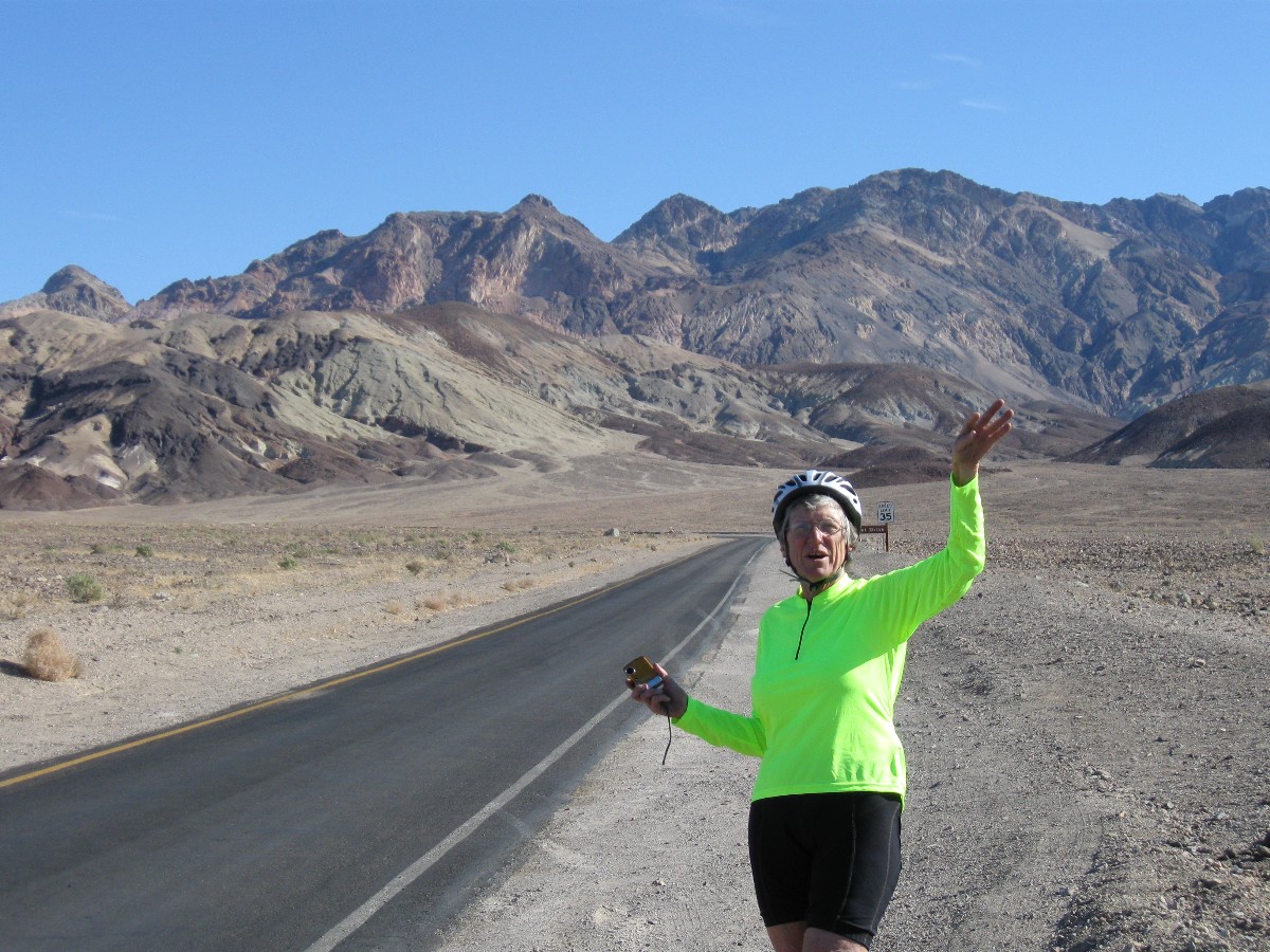
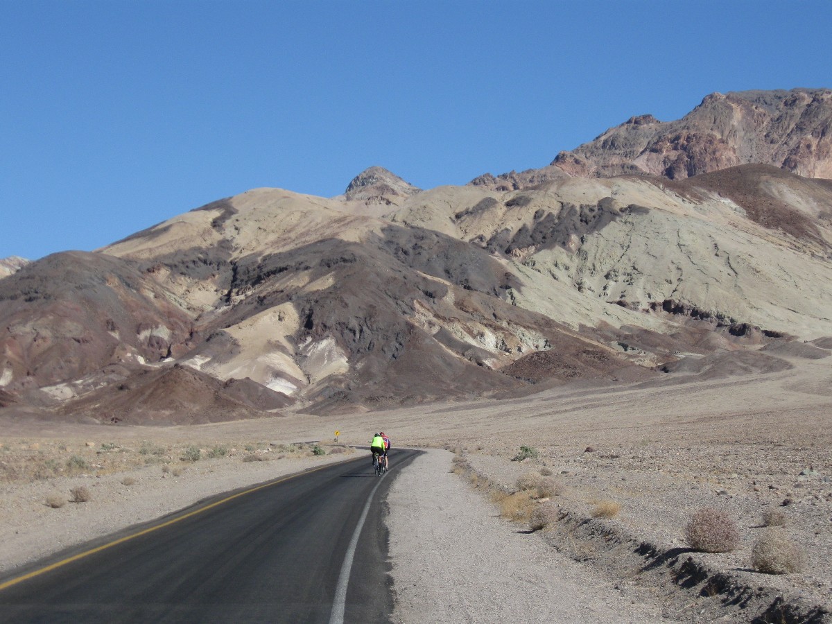
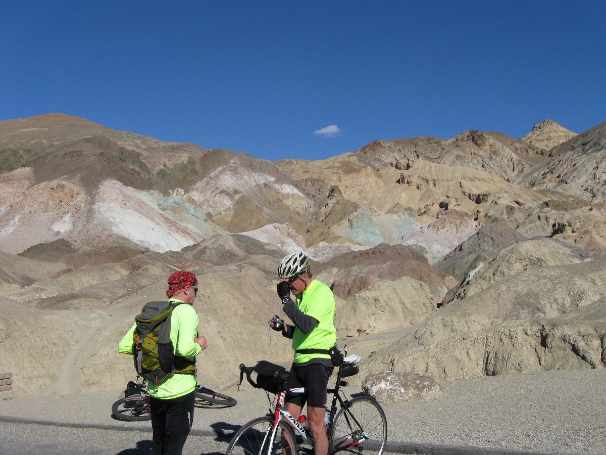
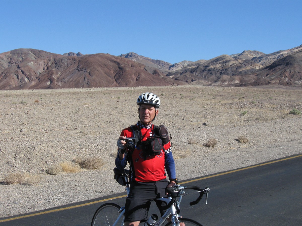
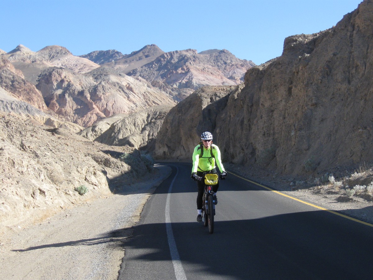
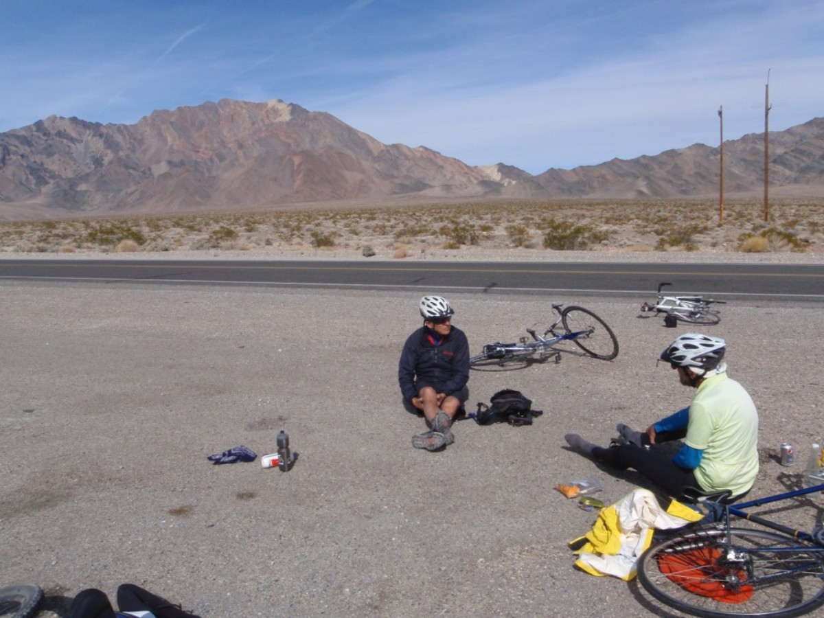
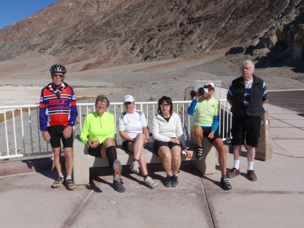
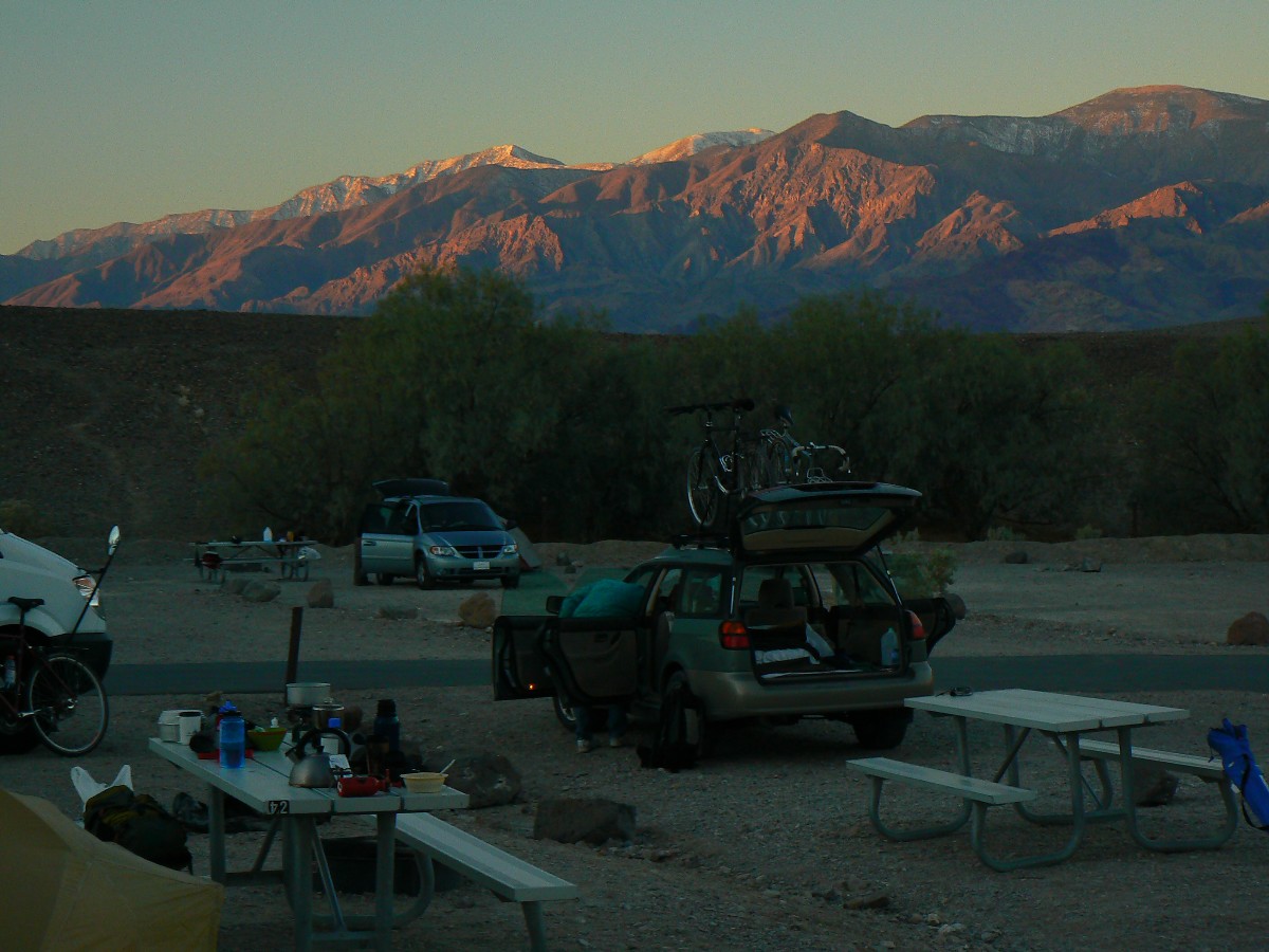
Day 1: Bad Water and Artist Loop 41 miles.
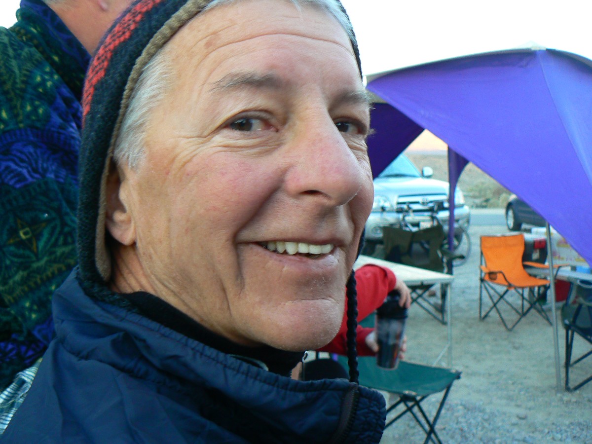
When I arrived in DV yesterday afternoon - I find a throng of Wasatch Mountain
Club (WMC) bikers swirling around the vagrant tamarisks (evil interlopers, invasive species that have decimated
the Colorado River drainage, having the effect on water sort of like bushco had on the Democratic budget surplus
- gone). New people to meet, and some old friends with whom to catch up. Glorious. Warmish and with calm winds,
I somehow missed the gale two days ago. Fortunate.
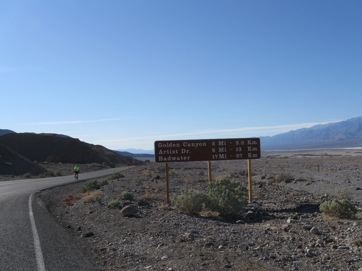
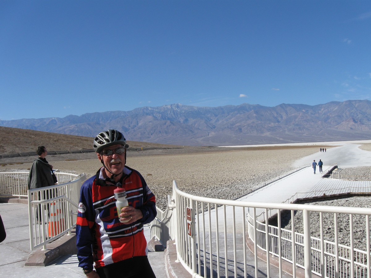
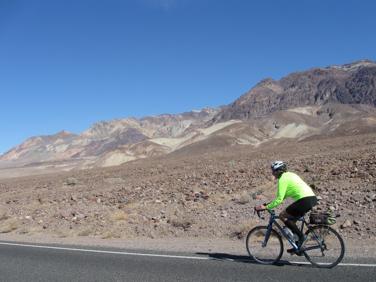
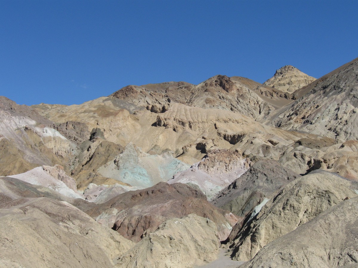
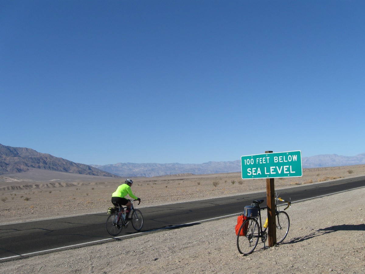
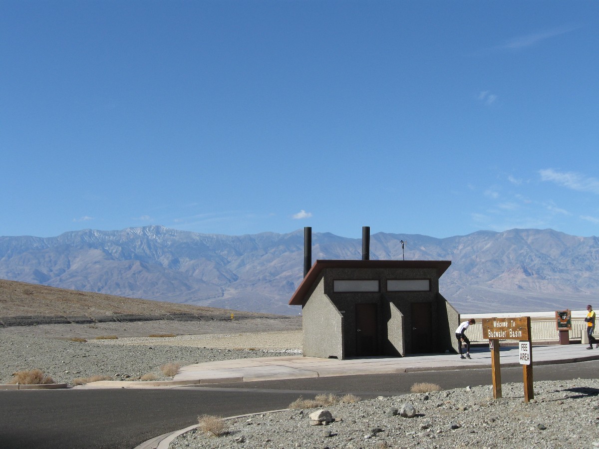
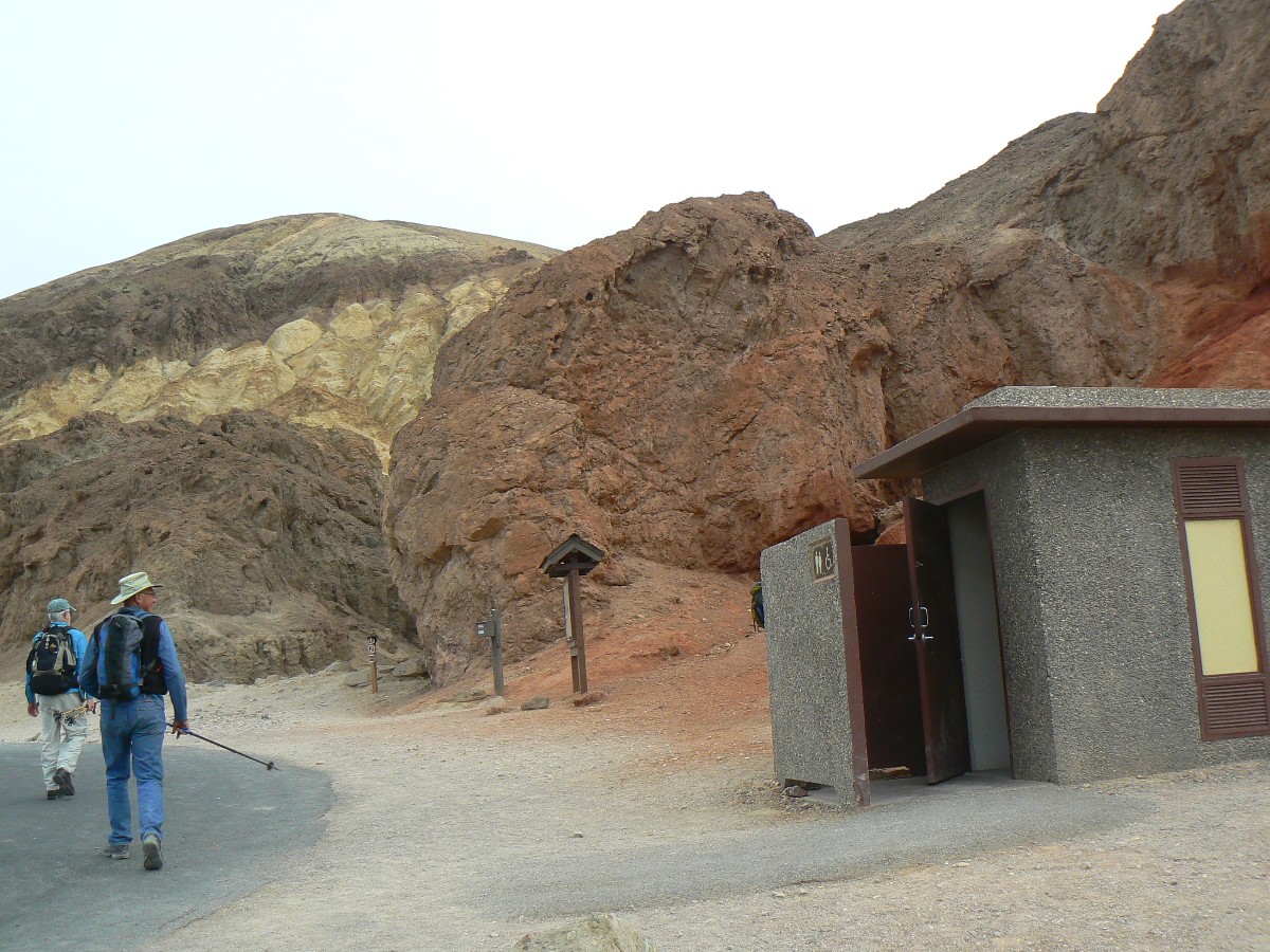
Back to today: Our first ride is to Bad Water, well below sea level, then back
and up and up the Artist's Drive to Artist’s Palette. It's about 18 miles out to the salty low spot for the first
break. Then, on the return, we climb and climb (low gears burning, well, muscles burning anyway) to the scenic
toilet and the Palette. Another good spot for a break.
Down. Approaching 30 MPH and cool enough to produce goose bumps. Perhaps the
goose bumps rise from the terror of negotiating the hairpin turns and anticipating gravel on the narrow road?
The second law of bicycling comes into play, what goes down must go up (it's a
unidirectional law), as, following a 180 degree turn, we are again climbing, then finally more down to the Bad
Water Road.
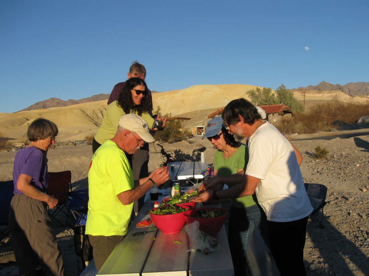
Slowly back to texass Spring CG, where a delightful sun shower awaits - taking
advantage of those tamarisk shower trees (useful for something after all), and Dutch oven meal of chicken,
potatoes, carrots, onions. Yum.
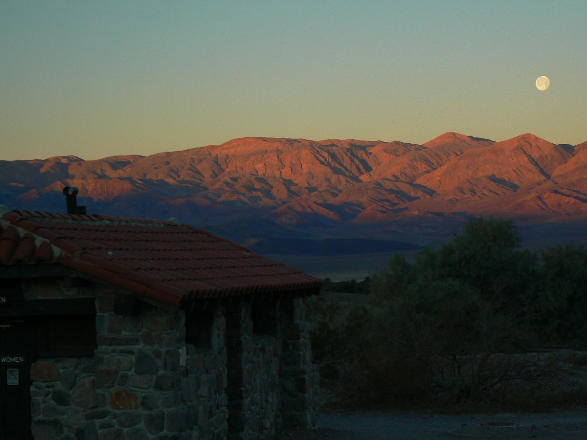
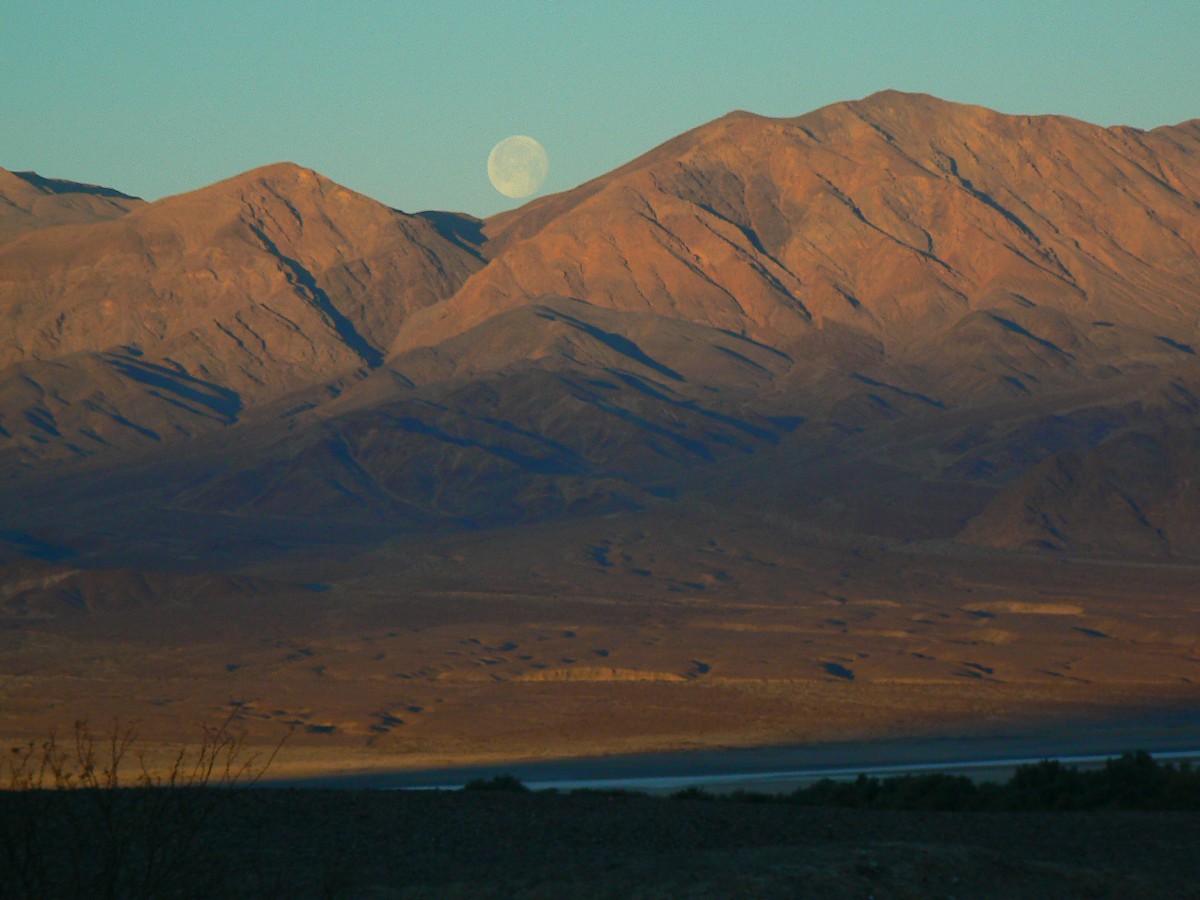
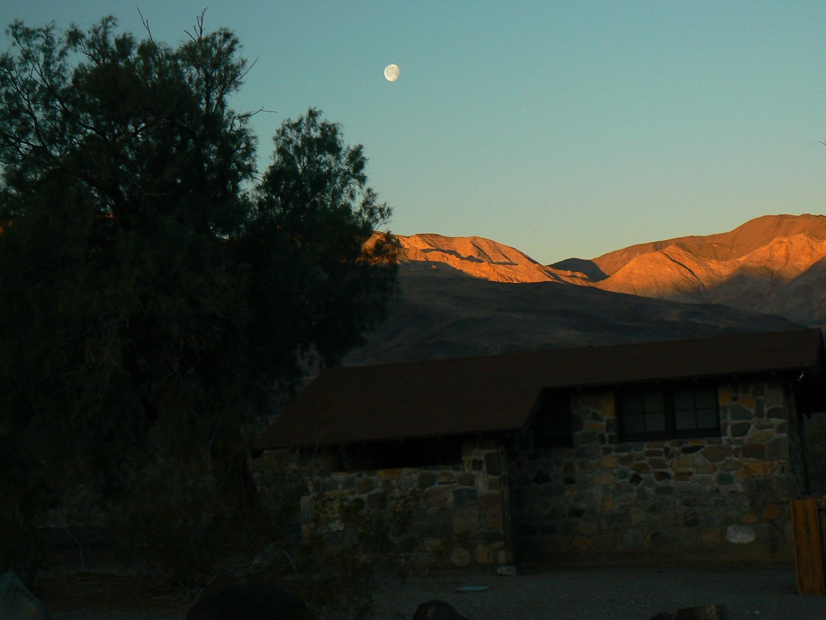
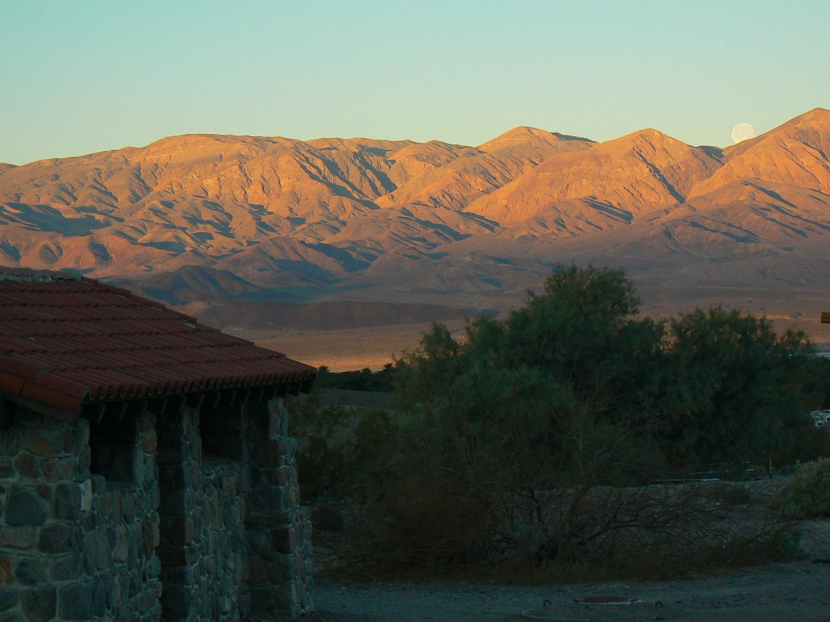
Full moon approaches, and the lights seem on during the short night.
![]() See the map of today's Bad Water and Artist Loop
ride at: (click here)
See the map of today's Bad Water and Artist Loop
ride at: (click here)
 wDV-2012-day1 Chery-Rob at Artist Loop Start by Chris Winter1.jpg |
 |
 |
 |
 |
 |
 |
 |
 |
 |
 |
 |
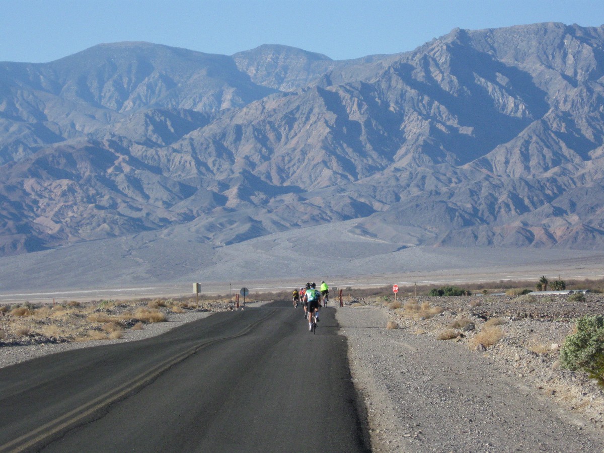
Day 2: Skulking to Stove Pipe Wells. 50 miles.
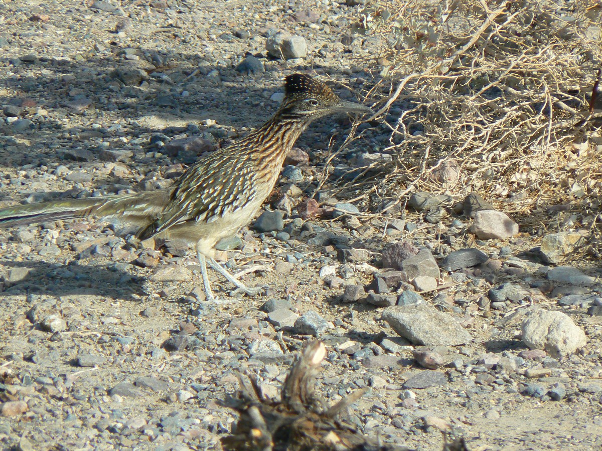
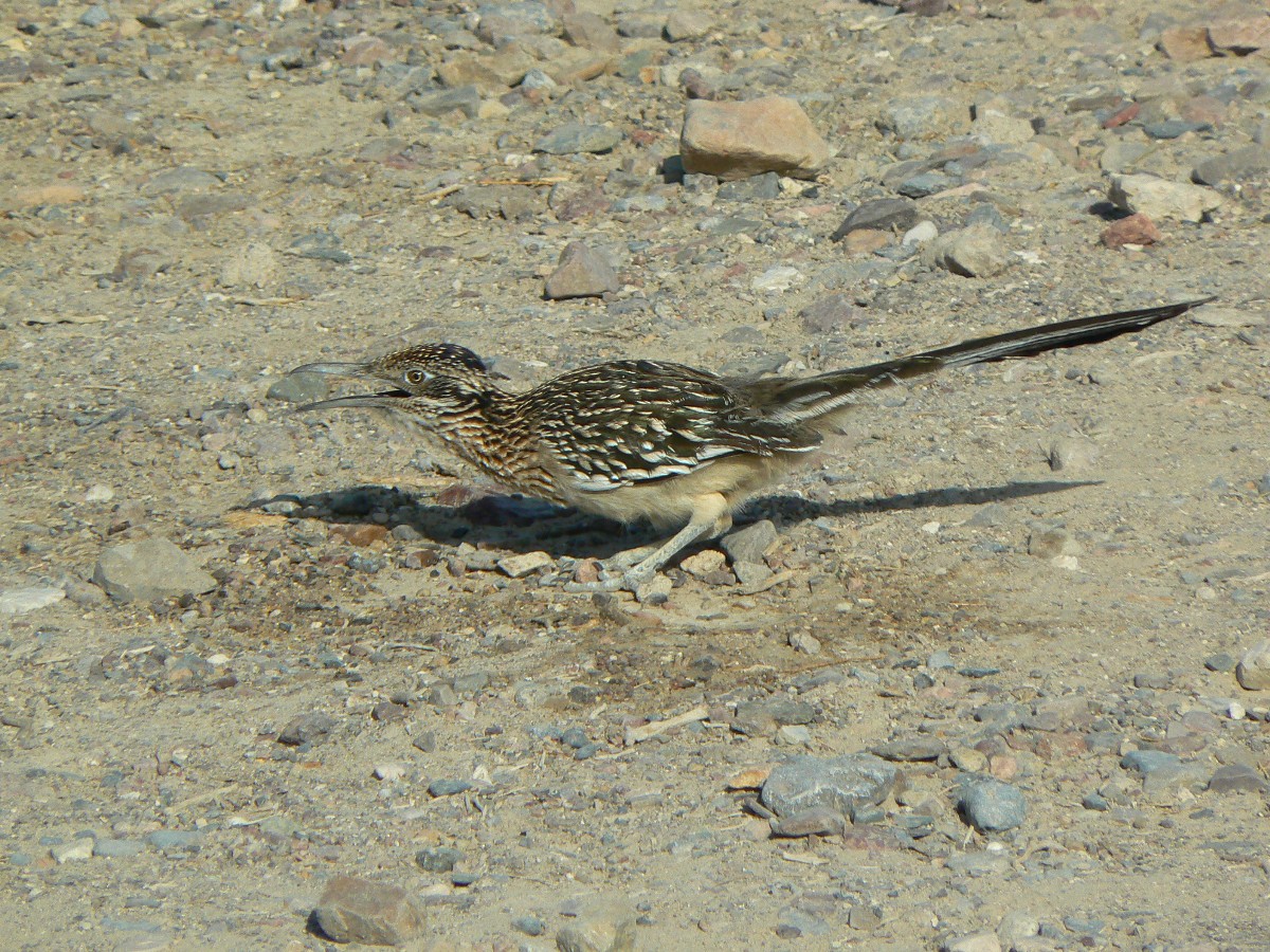
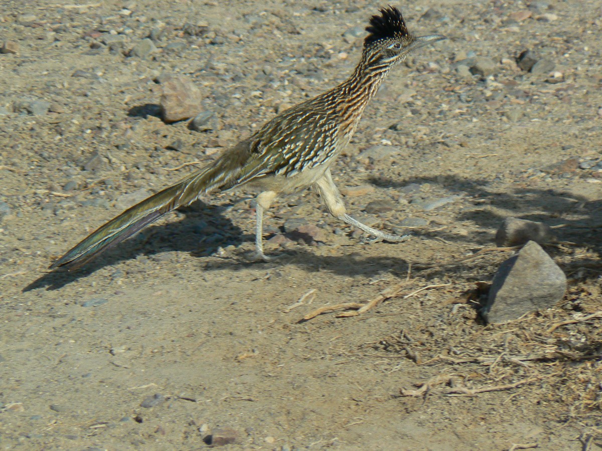
The Roadrunner dashes between empty Dutch ovens, flushing bugs from around the
pots from last night's oven-baked delights. Cleaned up today, the ovens will hold cornbread and brownies,
complimenting Cheryl's chili concoction - yum, again).
I try for a photo between darting dashes of the Roadrunner.
The day starts cool, so we all enjoy more coffee as the world warms. Lovely.
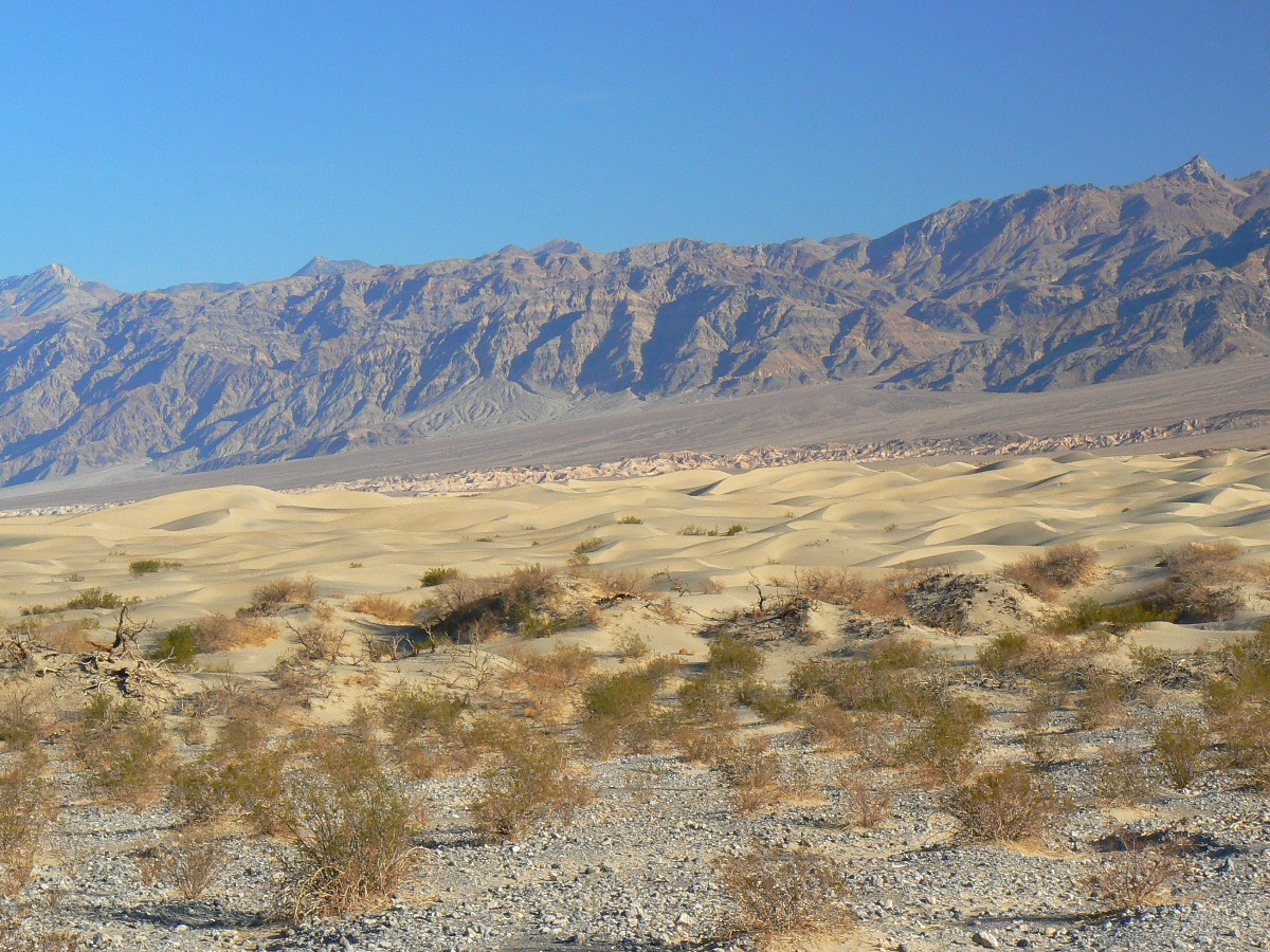
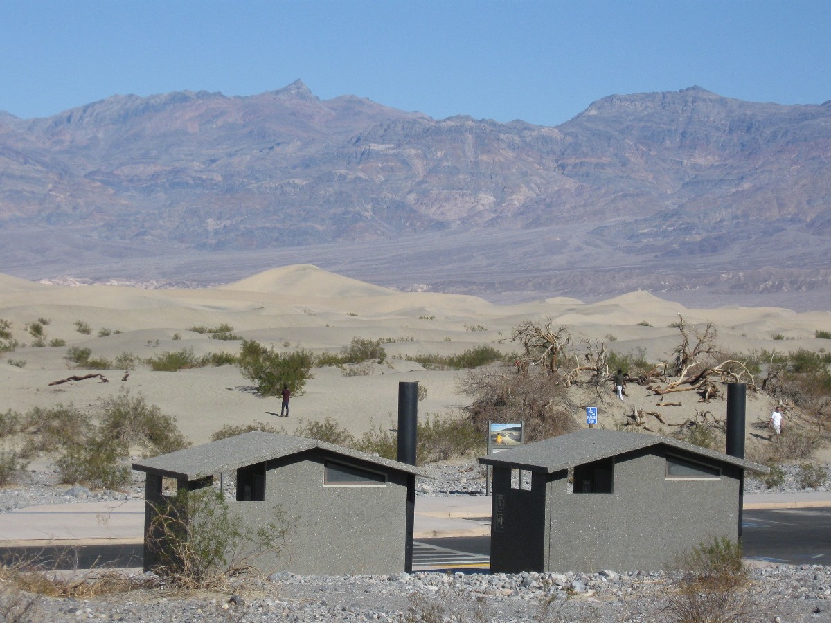
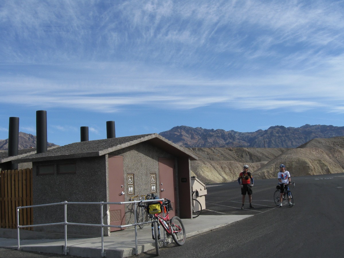
It's a working breeze on the way to Stove Pipe Wells, passing the Devil's Cornfield and the Mesquite Dunes
(replete with scenic toilet). After the lunch break, the ride back is more enjoyable, thanks to a bit more
downhill and down breeze.
Shower time, cocktail hour, a bit of evening fire while preparing dinner and
the 70F degree temps leave with the lowering sun.
![]() See the map of today's Stove Pipe Well ride at: (click here)
See the map of today's Stove Pipe Well ride at: (click here)
 |
 |
 |
 |
 |
 |
 |
 |
 |
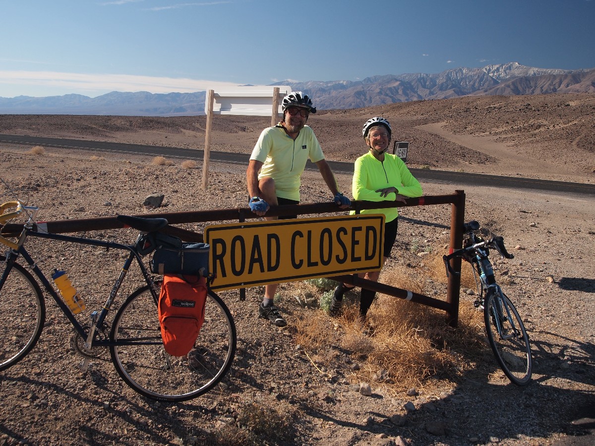
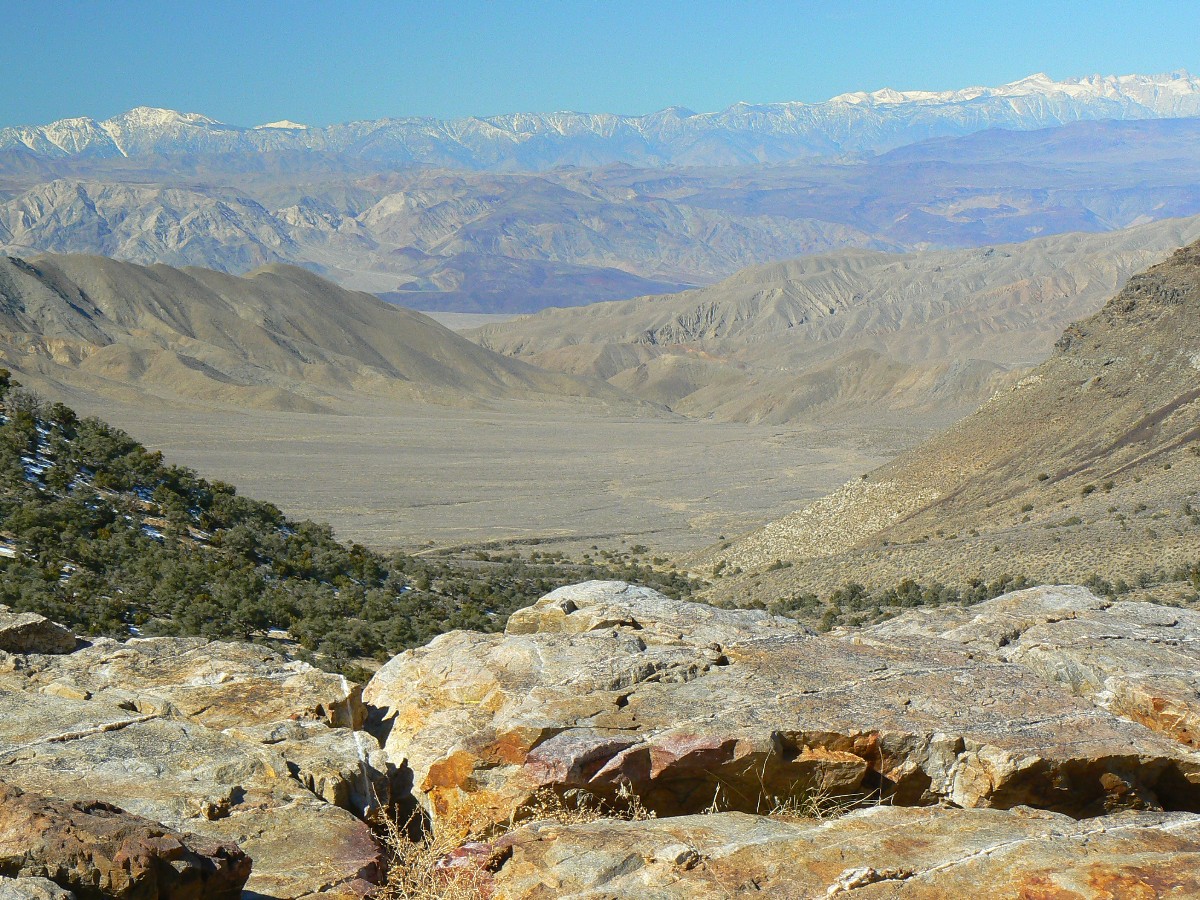
Day 3: Crestival - Amargosa Crest. 40 miles, plus and minus 3000', from below sea level to the pass.
After 20 miles, almost exactly, from texass Springs CG, the steady grade relaxes
and we're lolling dips. This must be the unmarked summit. We passed the 3000' mark just a short distance back.
I continue to MP (milepost) 130, and the road begins to roll dips, down. Dave, Chris, Kneel, and I enjoy a snack,
then the route down is quick and cool and tights and wind jacket are mandatory. It's easy to roll along at 20 MPH,
more if extra power is applied. It's a good ride because one just turns around when tired, and rolls back most of
the way to camp. It's a grand descent.
It's a partially cloudy day and the temperatures are lower due to the obscured sun.
At breakfast, we watch a fluffy Coyote walk the low ridge above camp, skylined. Apparently spotting the best camps
to visit later, best as in most likely to produce food scraps.
![]() Map -
A map of this GPS track/map of bicycling the Amargosa Crest can be seen below. Change the map type (topo, terrain, etc.) and alter the scale
as you wish. Click "bigger map" text below map if you want a larger map.
Map -
A map of this GPS track/map of bicycling the Amargosa Crest can be seen below. Change the map type (topo, terrain, etc.) and alter the scale
as you wish. Click "bigger map" text below map if you want a larger map.
DV photos - Day 3 Most by Dave Rumbellow
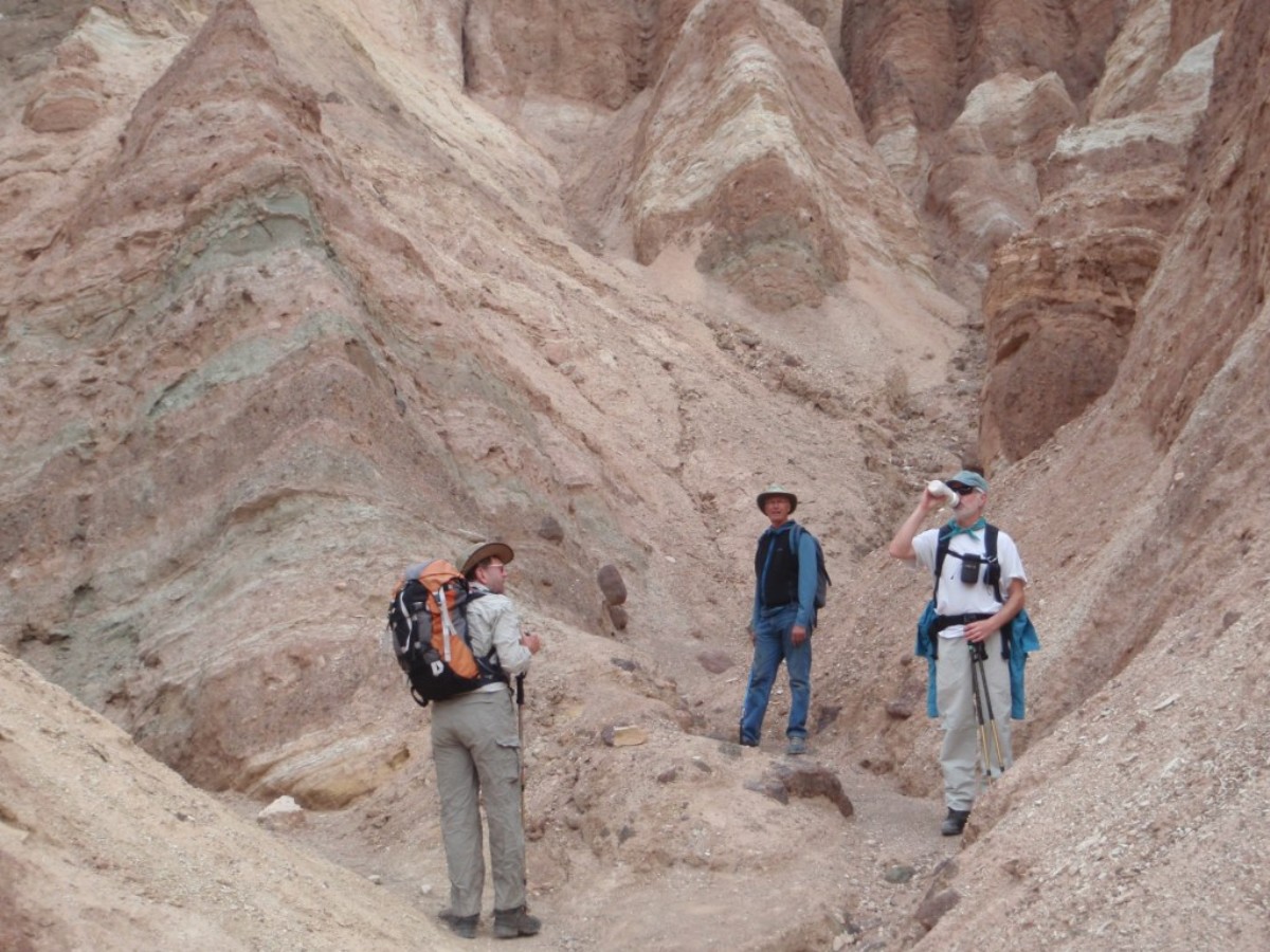


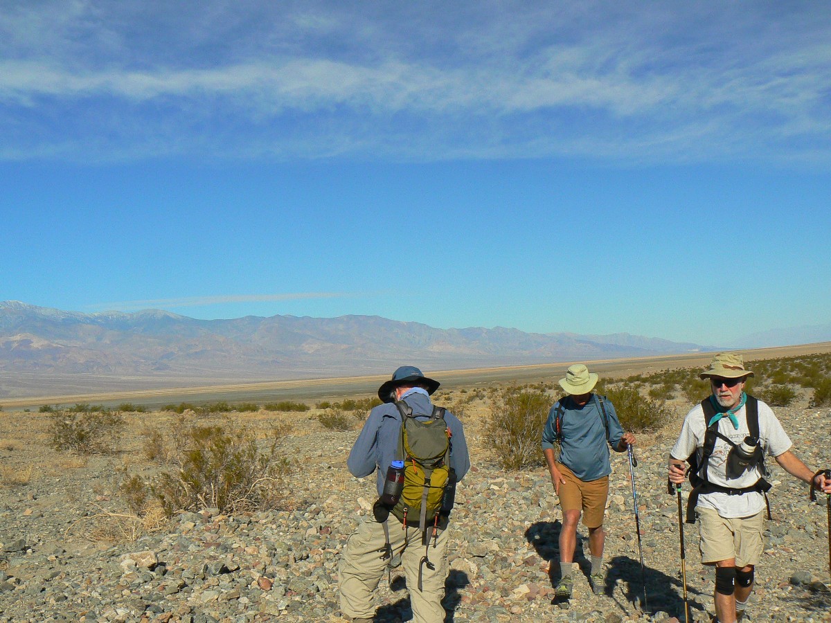
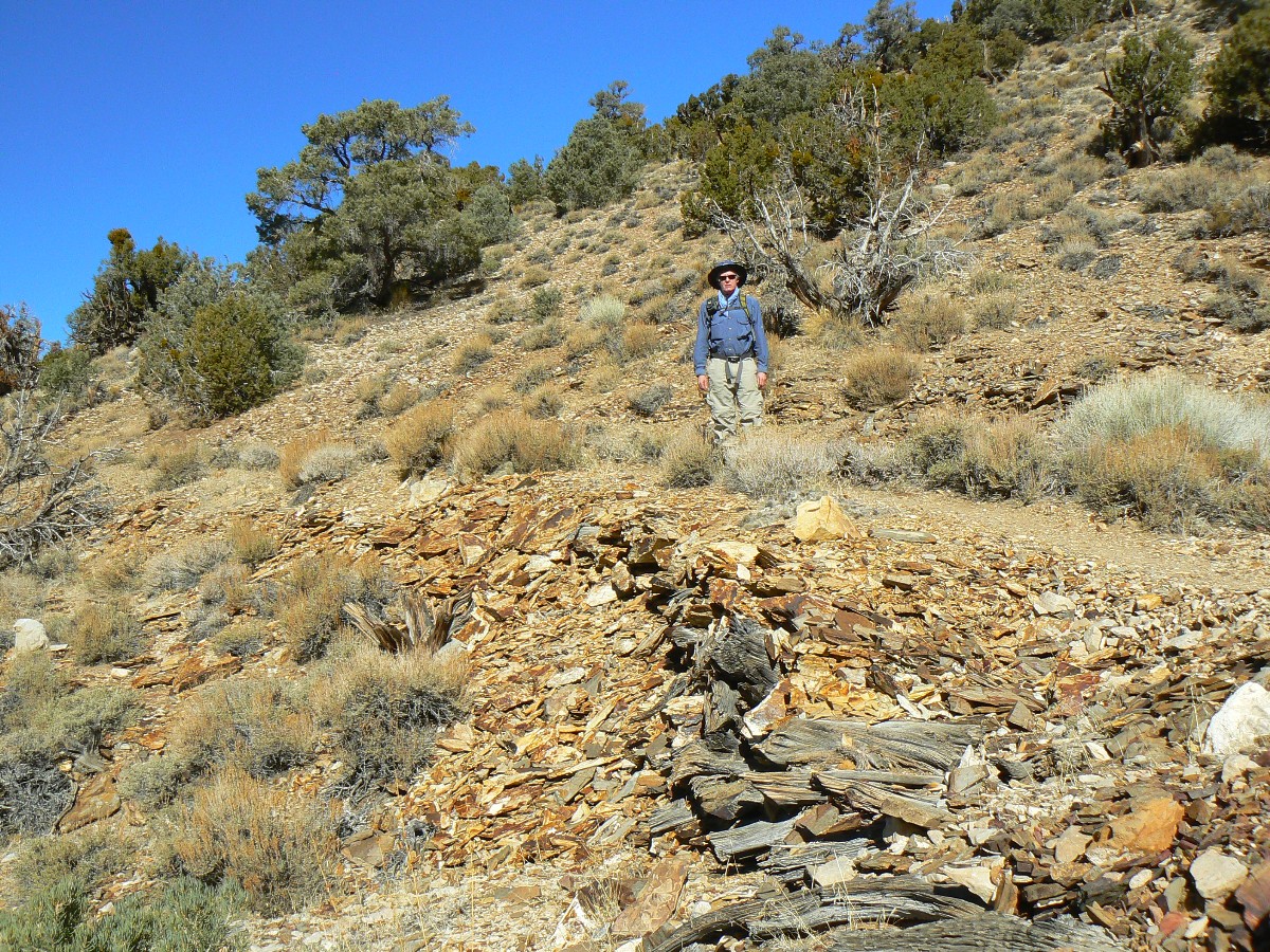
Day 4: Golden and Gowen Canyons to Zabriskie Point and around About 6.5 miles.
Hiking now, the bike is in the back of the car.
Now, there are four of us after the majority of the WMC folks clear out for the
land of Smog (Smog Lake, utah), Zig, Dave, Randy, and me. We relocate to a central camp and, after saying goodbyes
to the WMC riders, we think about our hiking options.
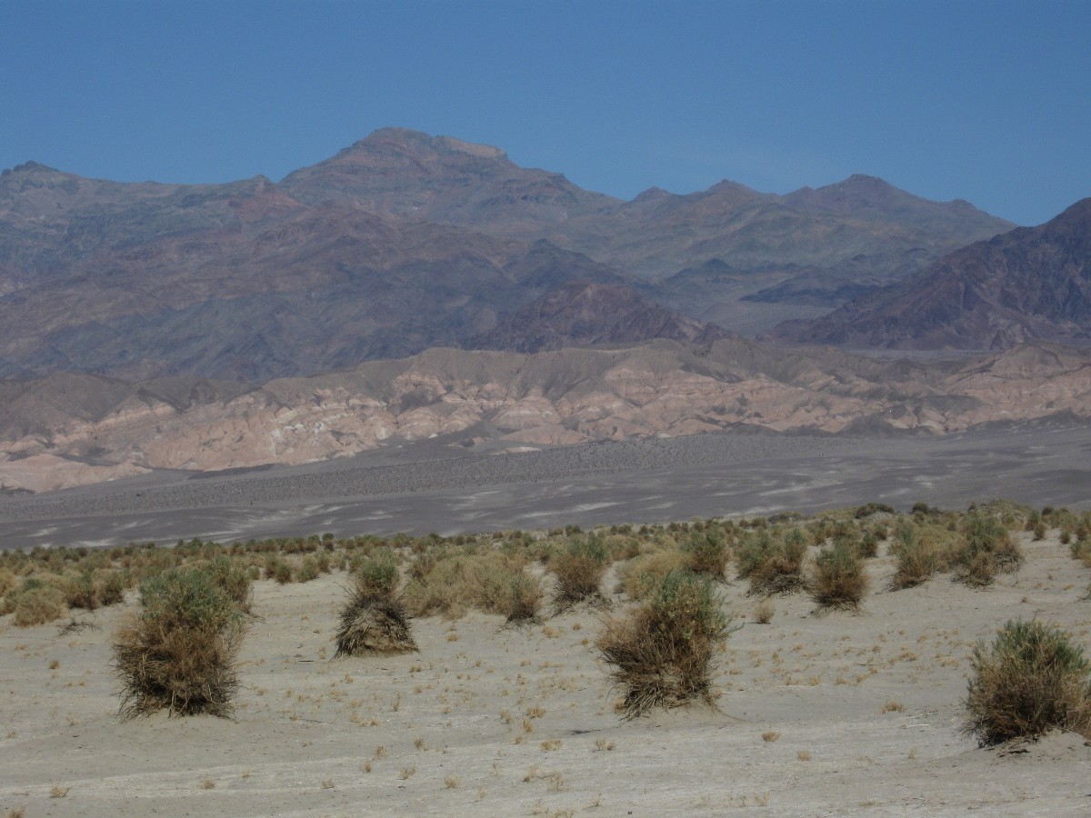
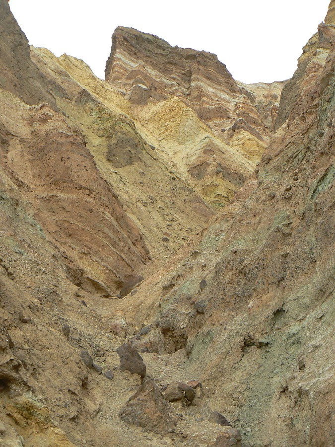
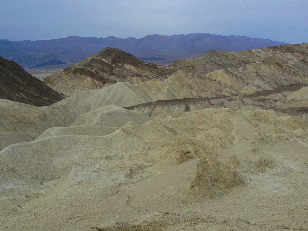
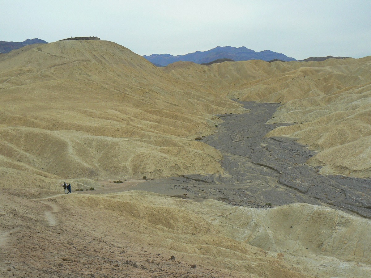
The polished conglomerate swirls down canyon with side bands of oxidized blood-red
and coppery-green layers twisted into a geologic Gordian knot. Fabulous geology!
We start up Golden Canyon and scale the yellow silts to the rampart below Manly
Beacon to Zabriskie Point, where a flock of Germans have been disgorged from a tour bus and now ramble about the Point.
Back around in Gower Gulch, amidst more twisted geology, we are hiking the completion of this lovely loop. Delightful.
A veil of clouds descends on Telescope Peak and the weather front craters our
temperatures - into the 40F's.
 |
 |
 |
 |
 |
 |
 |
 |
 |
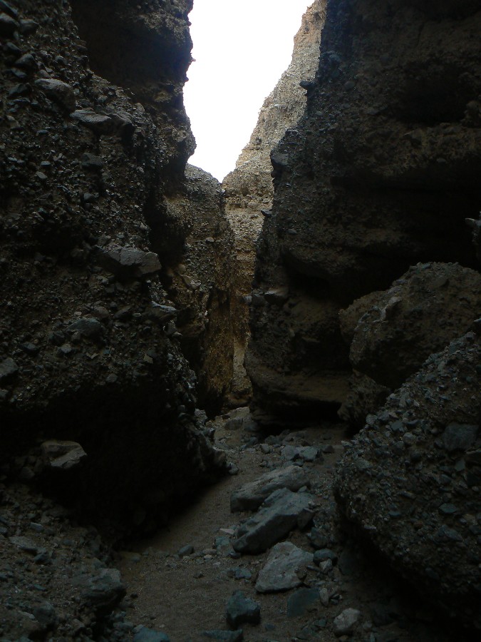
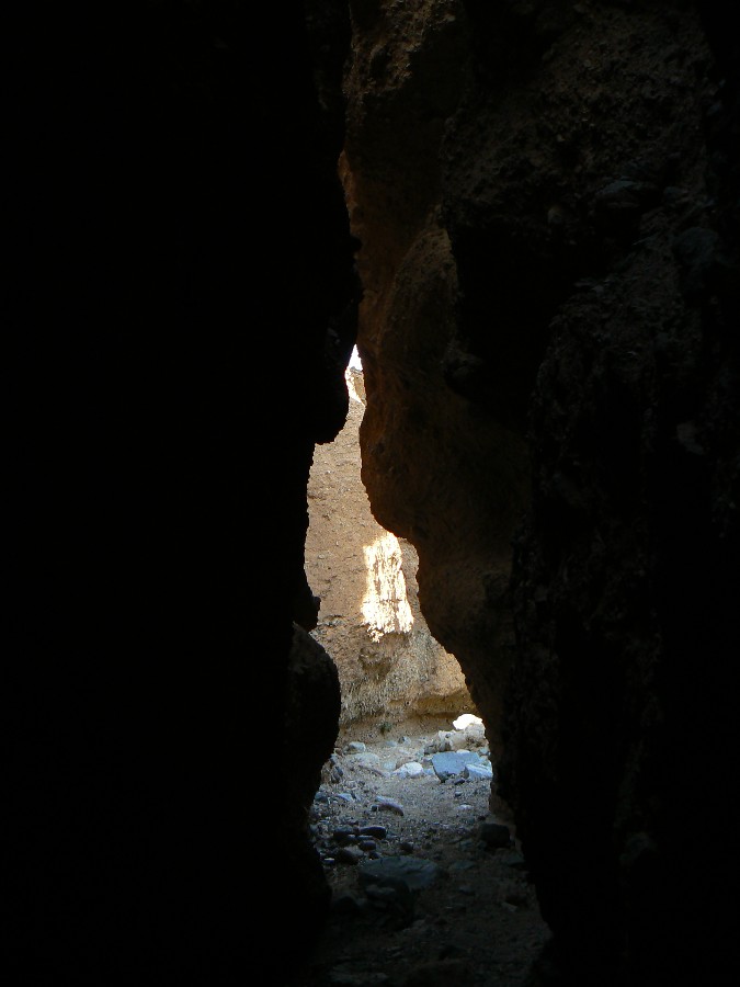
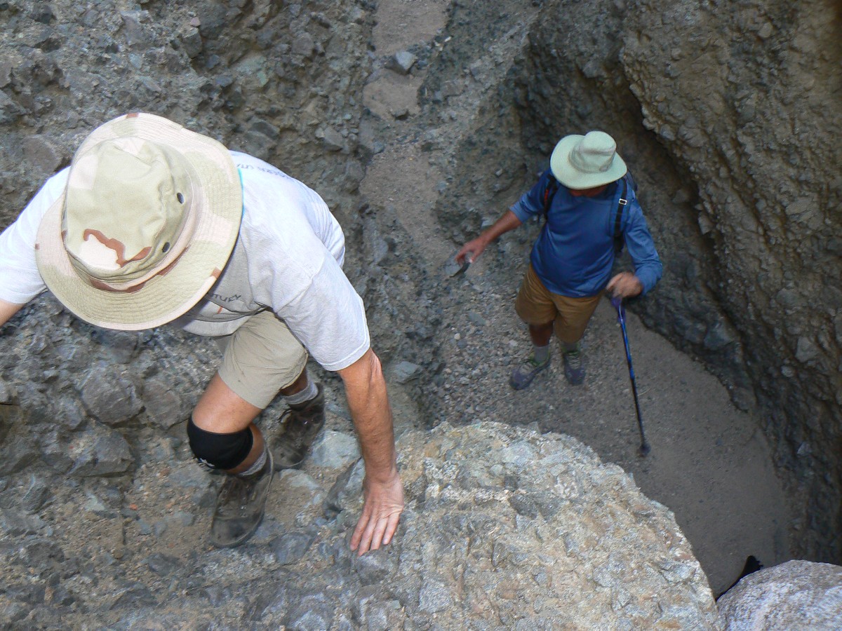
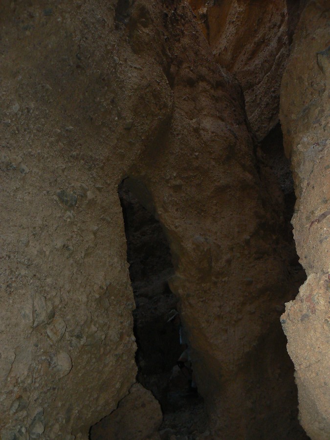
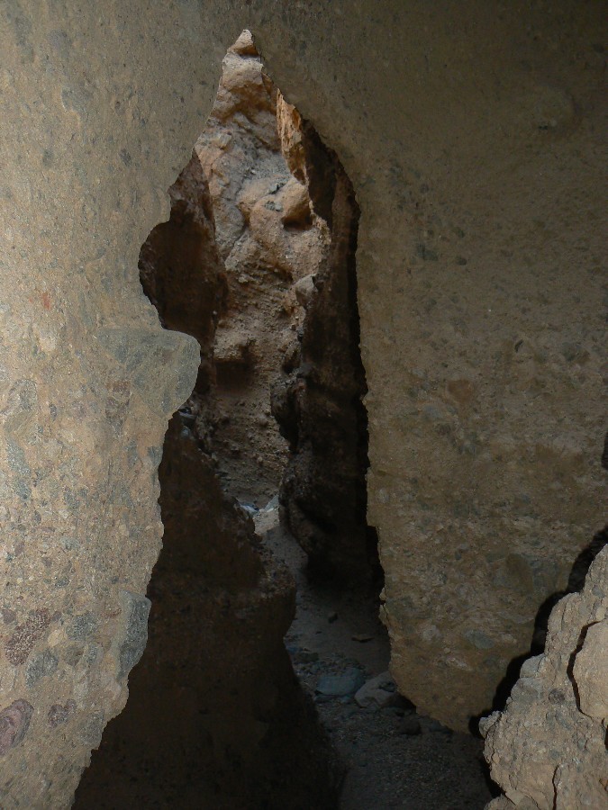
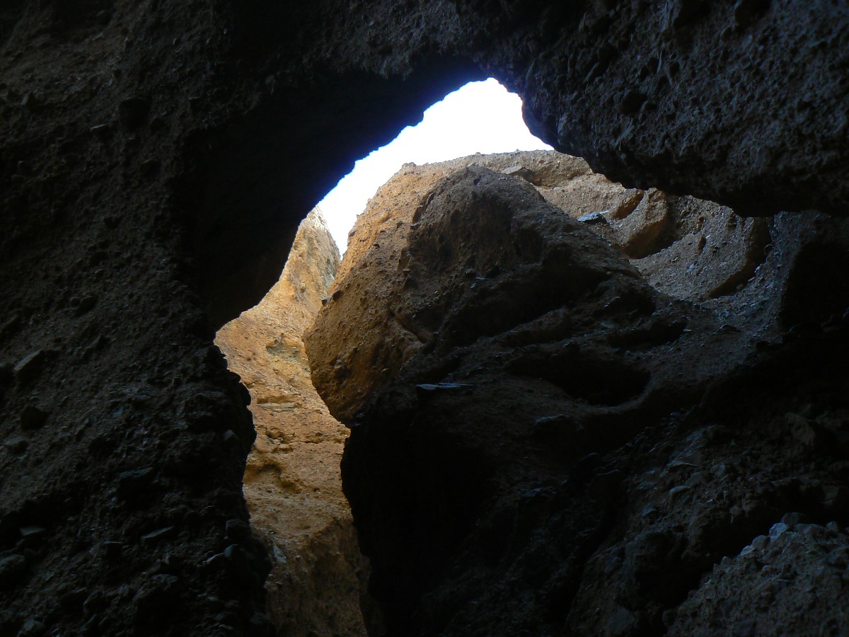
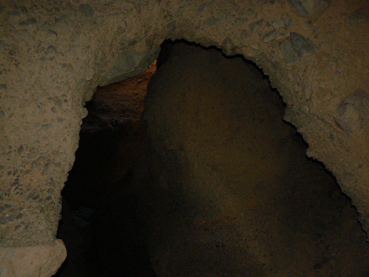
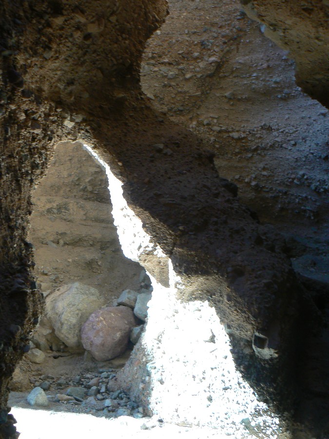
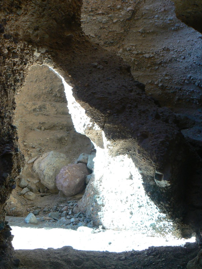
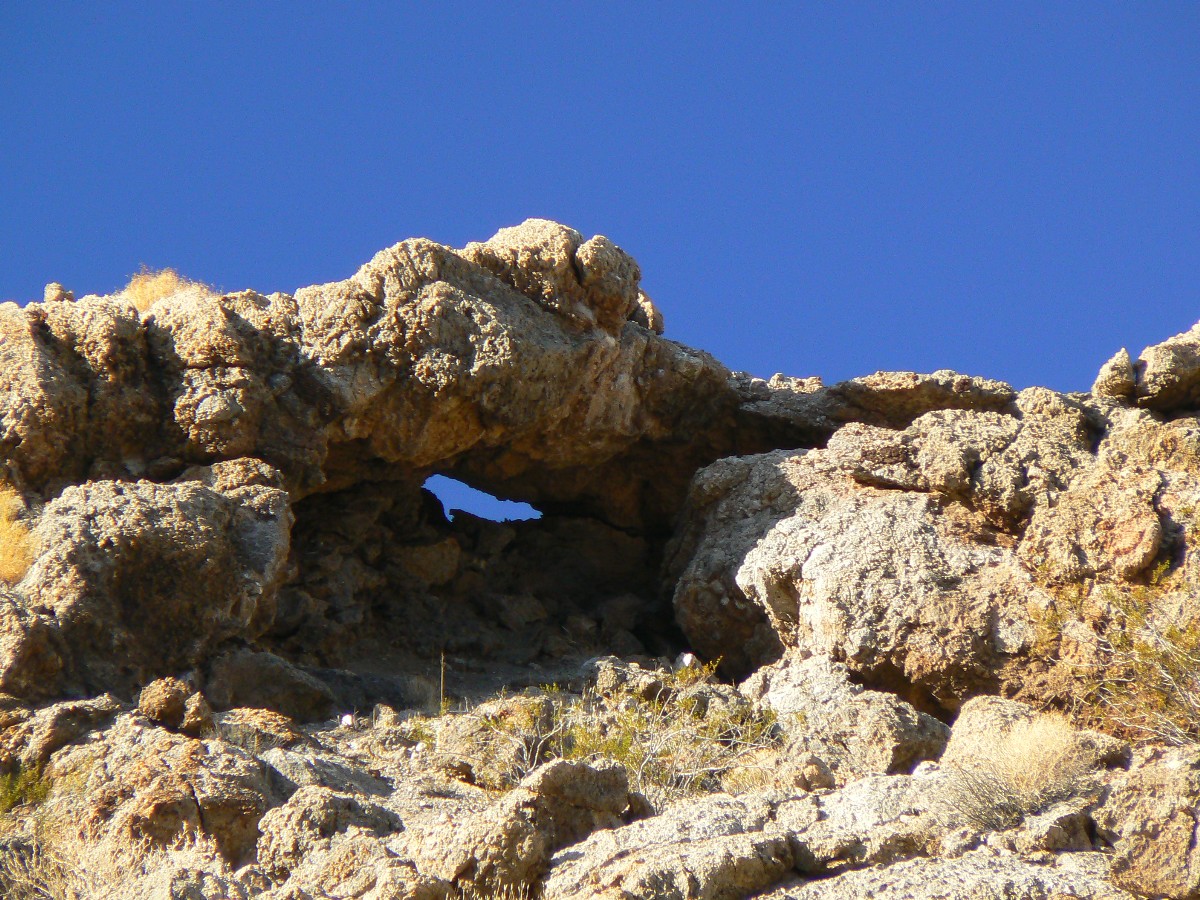
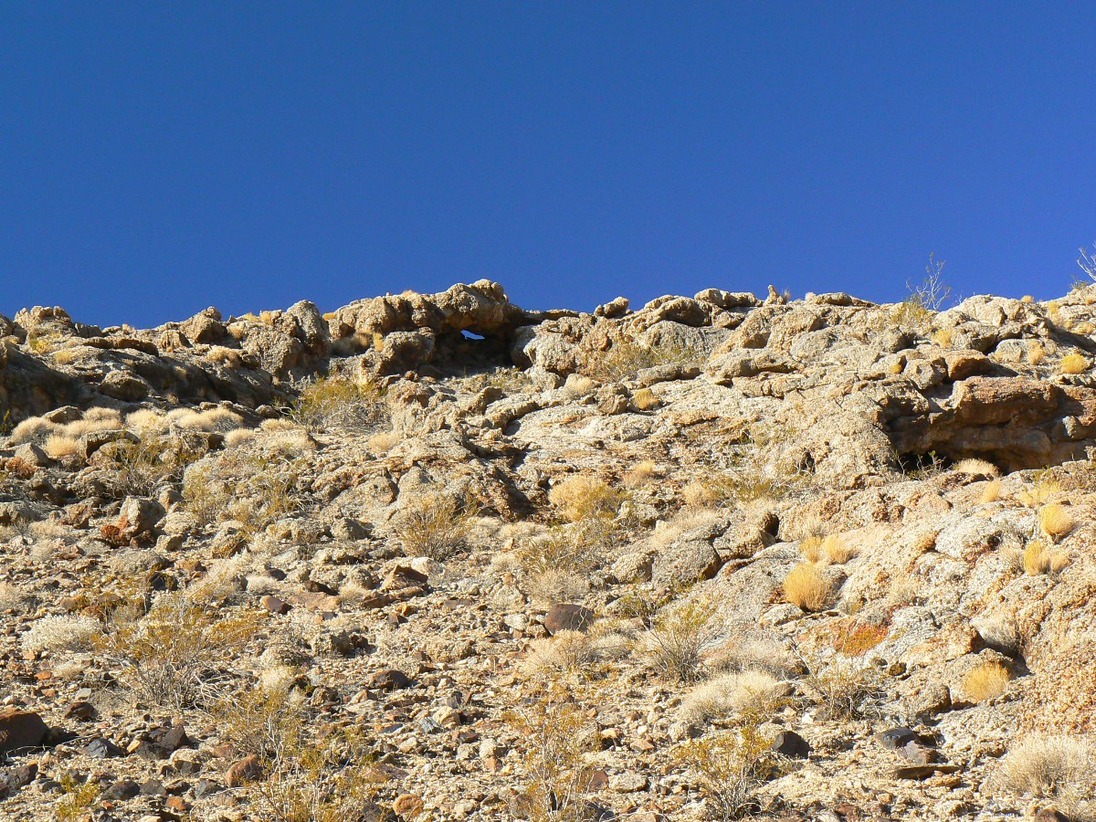
Day 5: Slotting the Sidewinder. about 6 miles, ERM of about 10.
The slot slips left, then right, corkscrews and sidewinds, the flutes above are
nearly connecting. Then, a natural bridge arches over the conglomerate gulch, drilled through by floods of yore
and last year. Yowee. We're in one of the slots that branches off Sidewinder Canyon, about MP 31.5 on the Bad
Water Road. Another slot, another two natural bridges and some climby stuff too.
Continuing up canyon, we clamber out of the canyon, then wander a low and
descending ridge and then along the crest of Willow Canyon. Apparently, there may be a route into Willow,
not far from the car park. And, what about a route into the upper section of Willow? We don't invest time
looking for an upper route, yet, judging by the plethora of sheep trails, it looks like the Bighorns may have
found a way to the rumored water in Willow. Today, it's grand to stay on the crest, where vistas are broad and
the hiking quite decent. Sheep trails abound, and we see a few sheep scurrying out of view. What exactly do
these agile ungulates eat out here while scampering about on nearly unclimbable terrain? We finally find a passable
route off the crest, yet we are nearly back to the car park by this time.
Back to texass Creek CG, where it's warm and the sun is full.
![]() Map -
A map of this GPS track/map of the hike of Sidewinder Canyon can be seen below. Change the map type (topo, terrain, etc.) and alter the scale
as you wish. Click "bigger map" text below map if you want a larger map.
Map -
A map of this GPS track/map of the hike of Sidewinder Canyon can be seen below. Change the map type (topo, terrain, etc.) and alter the scale
as you wish. Click "bigger map" text below map if you want a larger map.
DV photos - Day 5


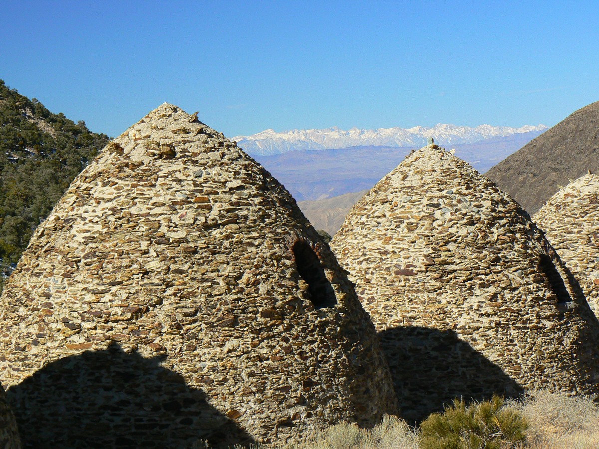
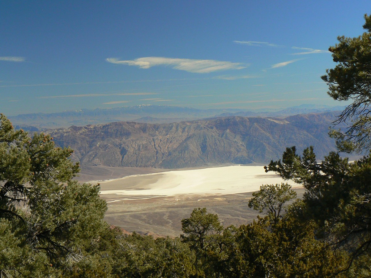
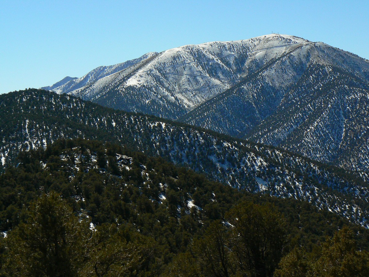
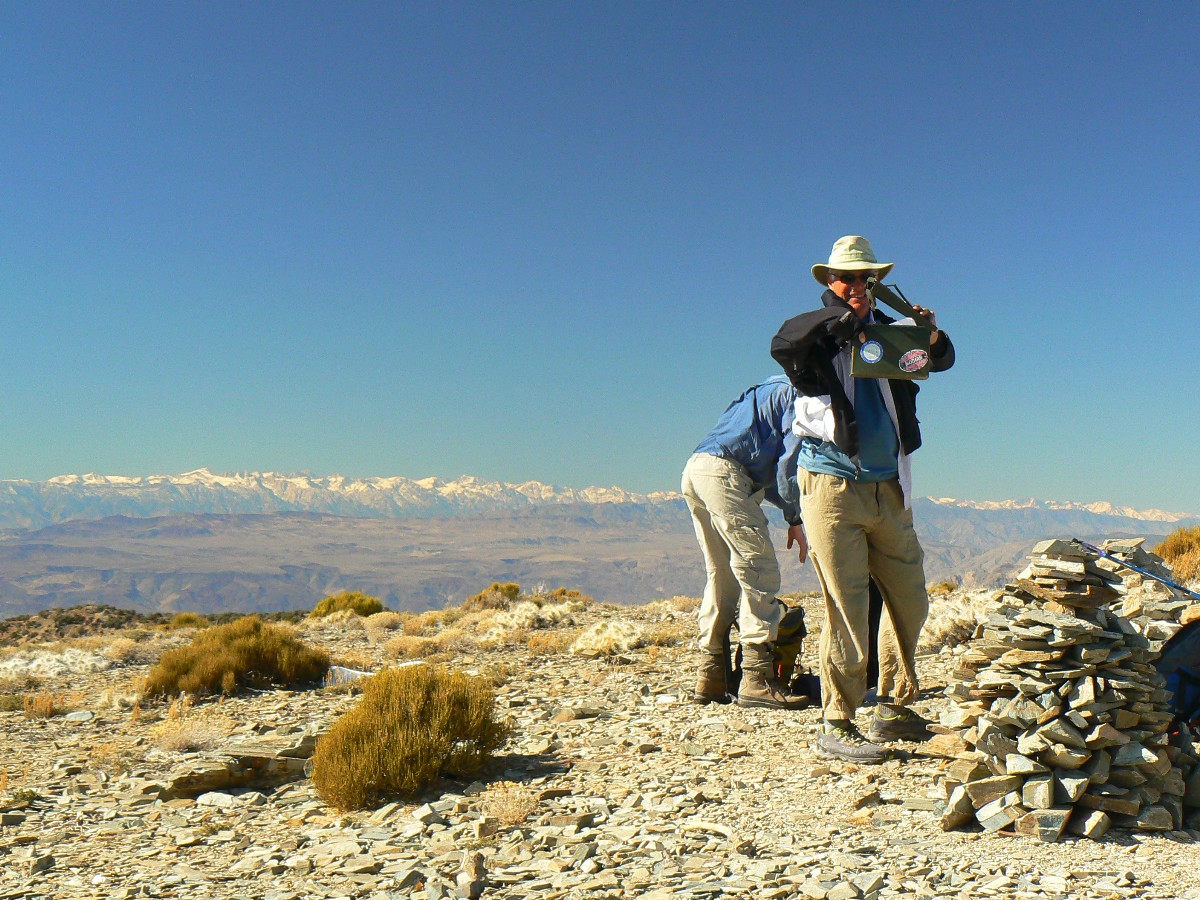
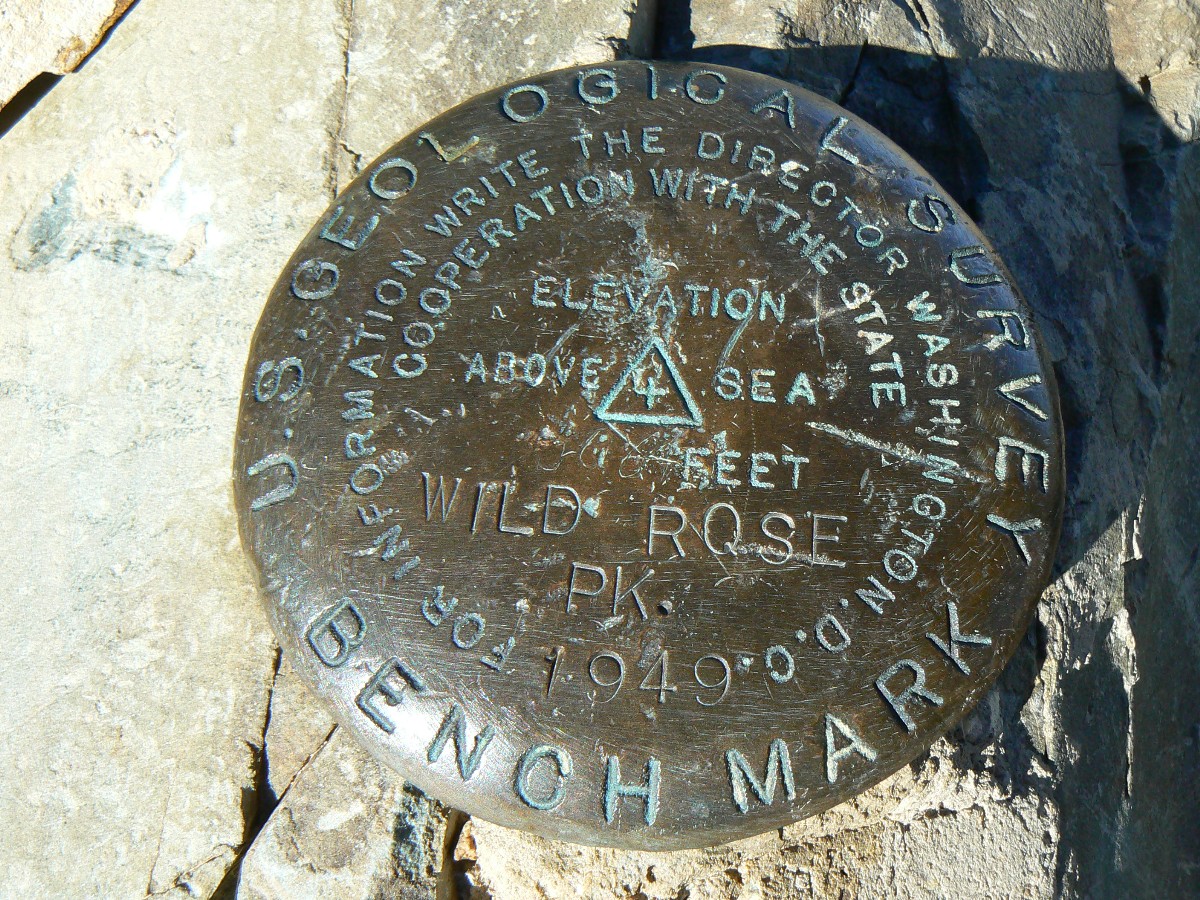
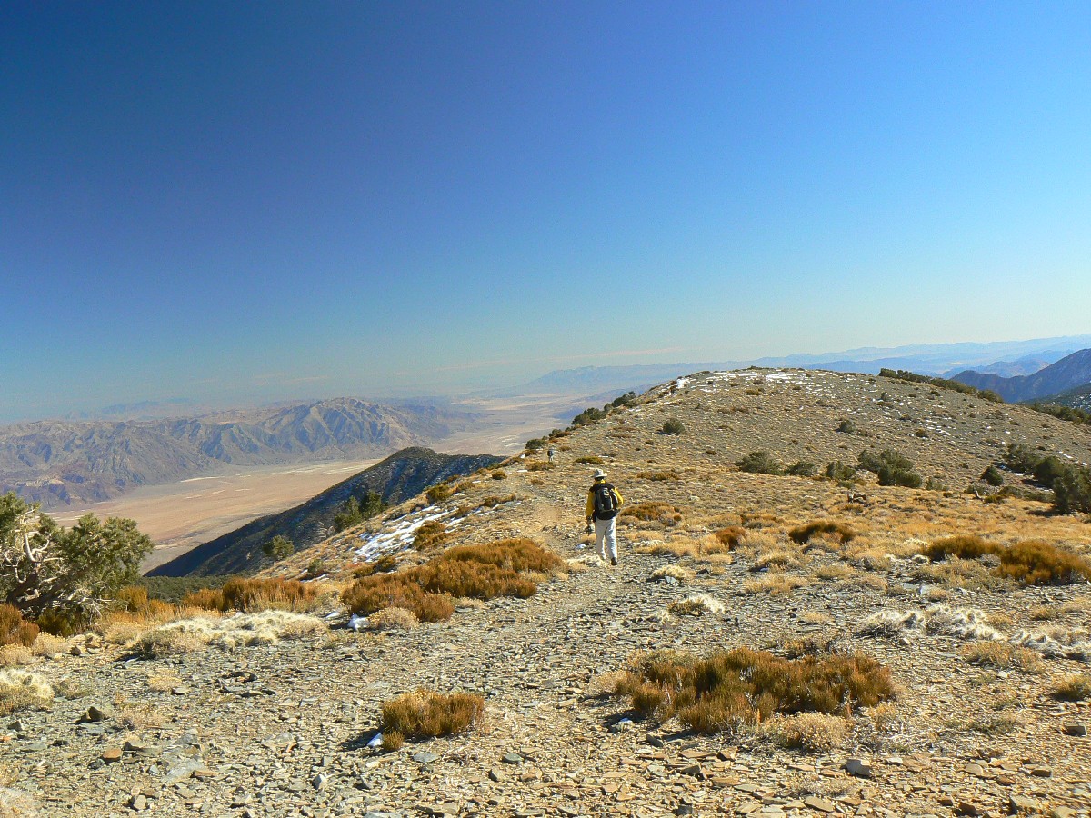
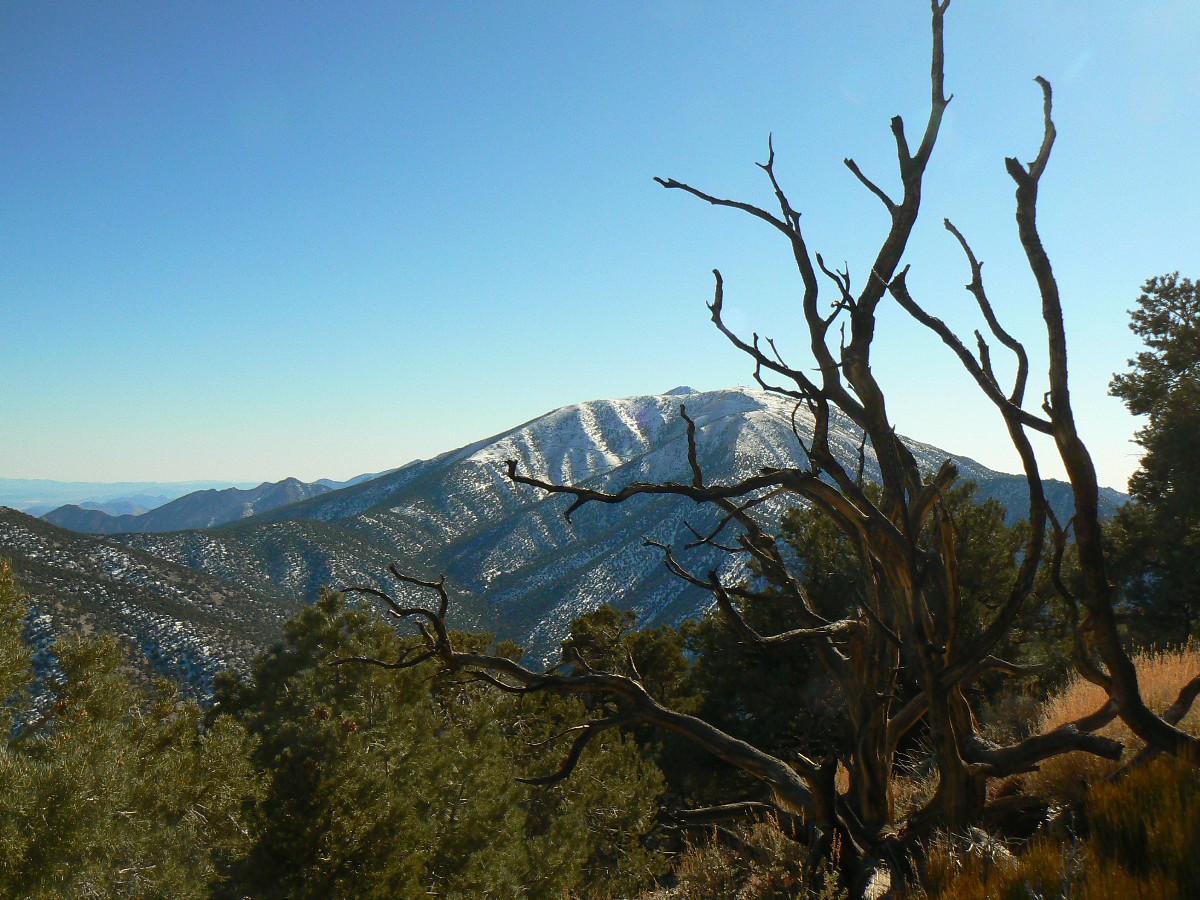
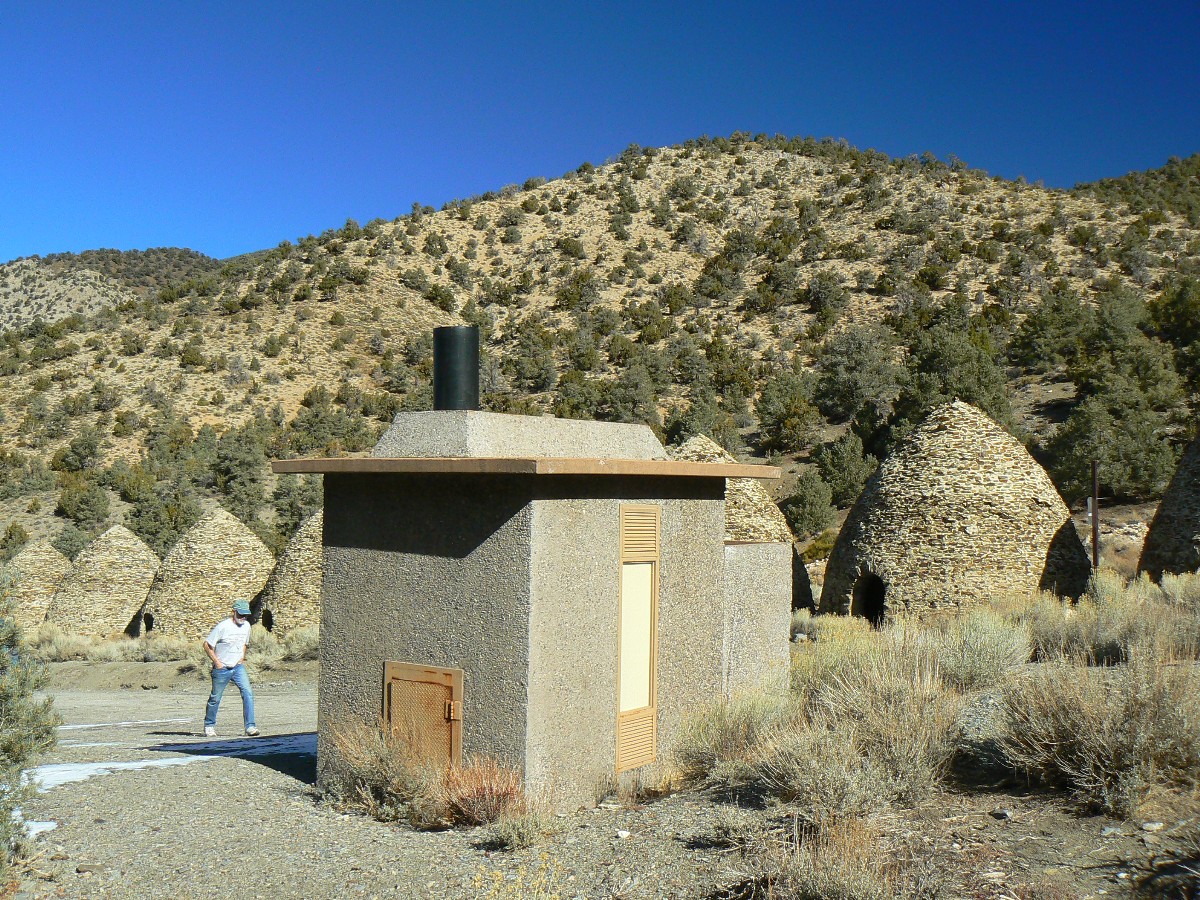
Day 6: Wildly Wildrose Peak. The eyes have it! about 8.7 miles, ERM of 18 (up about 2300', to 9065'); and Charcoal Kilns.
The High Sierra, soaring summits shrouded in snow form the Northern skyline, while
views to the green dot that is the oasis of Furnace Creek and the salt depression below sea level and the crenulated
mountains and ranges range across the Easterly view. A hint of Telescope Peak and the zig-zag road scar of Rogers
(with radio tower) and Bennett dominate the South. Up here, amid skiffs of snow and an ancient pygmy forest, views
abound and astound.
We started the day by moving to Emigrant Camp at about 2000' above sea level.
After quickly throwing a few camp items into place, we empty the contents of Zig's vehicle into the tents and all
jump in for the drive to the charcoal kilns and trailhead for Wildrose Peak. It's over 4000' of climbing to get
to the TH, and the weather is a bit different up here. I suspect in many years, it would be impossible to make this
drive, let alone this hike, this time of year.
The trail takes the direct route to the peak, first on a graded route apparently
left over from the clear-cutting of the pygmy forest about 140 years ago - clear-cut to feed the numerous kilns.
After about a mile and a half, the trail leaves this route and climbs steeply to a ridge overlooking the Eastern
side of the range, then, after a short length of relatively leisurely walking, again takes the direct route on
short switch-backs to the false summit, after which one gladly strides an undulation to the 'real' peak.
The wind is cold and bites right through our wet clothes, prompting us to done
what we have, including wind jackets. Too much haze for a proper panorama, so I try to memorize the vista.
Because we started late, we arrive late back at Emigrant Camp, with just enough
light to throw the rest of basic camp into place and locate items for dinner. As dark descends, I find a place for
a shower and enjoy it as the breeze subsides.
Finally easing into my well-trashed chair for dinner, I note we and fellow campers
are not alone. Shiny turquoise eyes glow from the creosote brush, blinking an uninterpretable Morse code into the
night. Dave and I try to isolate the owners of these eyes, yet without success. Finally, one silently waltzes
into camp, and right past Zig's tent, and, it's a Kit Fox, a whole family of Kit Foxes. Yowee. Yet, no photos
because there is no light in this time prior to moon rise. And the eyes have it for this last night in Death
Valley National Park, looking forward to your next visit.
From the NPS:
Wildrose Peak is the northernmost summit of the Panamint Mountains. A rewarding hike
on its own, it is also a good alternative when winter conditions prevent hiking Telescope Peak. The trail starts at
the north end of the charcoal kilns and climbs steadily up a drainage thick with pinyon pine and juniper. Watch for
weathered stumps of trees cut more than 100 years ago to be made into charcoal at the kilns. The final two miles of
trail meanders along a forested ridge and switchbacks up the peak, revealing increasingly spectacular views. Other
than a few scattered stands of limber pine, the rounded summit is exposed and windswept. Pinyon pine and juniper
woodlands above 6000 feet provide habitat for mule deer and mountain lion, while rugged canyons and lofty ridges are
home to bighorn sheep. The highest summit in the park, Telescope Peak crowns the range at 11,049 feet. Its windswept
slopes are home to ancient bristlecone pine trees, some as old as 3000 years. Maintained trails lead to the tops of
Telescope Peak and 9064 feet high Wildrose Peak. They are a cool refuge from the desert's heat, but can be covered by
deep snow in winter and spring.
wDV-2012-day6-9 view of DV from first ridge of Wildrose Trail.jpg![]() Map -
A map of this GPS track/map of the hike to Wildrose Peak can be seen below. Change the map type (topo, terrain, etc.) and alter the scale
as you wish. Click "bigger map" text below map if you want a larger map.
Map -
A map of this GPS track/map of the hike to Wildrose Peak can be seen below. Change the map type (topo, terrain, etc.) and alter the scale
as you wish. Click "bigger map" text below map if you want a larger map.
DV photos Day 6 - Wildrose Peak


| ||||
 |
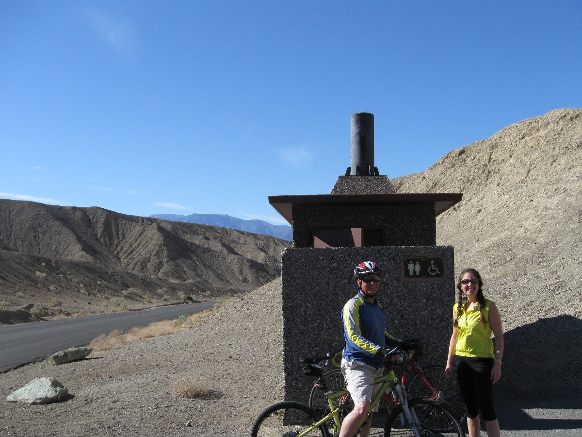 wDV-2012-scenic-toilet2 Mike and Alyson at Artist Palett.jpg |
 |
 |
 |
 |
 |
 |
 |
 |
 |
 |
![]() See the map of the Bad Water and Artist Loop
ride at: (click here)
See the map of the Bad Water and Artist Loop
ride at: (click here)
![]() See the map of the Stove Pipe Well ride at: (click here)
See the map of the Stove Pipe Well ride at: (click here)
![]() See the map of the Armagosa Crest ride at: (click here)
See the map of the Armagosa Crest ride at: (click here)
![]() See the map of the Sidewinder Canyon hike at: (click here)
See the map of the Sidewinder Canyon hike at: (click here)
![]() See the map of the Wildrose Peak hike at: (click here)
See the map of the Wildrose Peak hike at: (click here)
Death Valley Dreaming: Biking and Hiking Death Valley - 2011
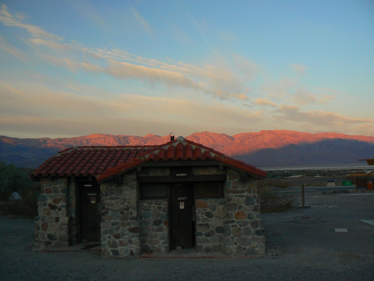
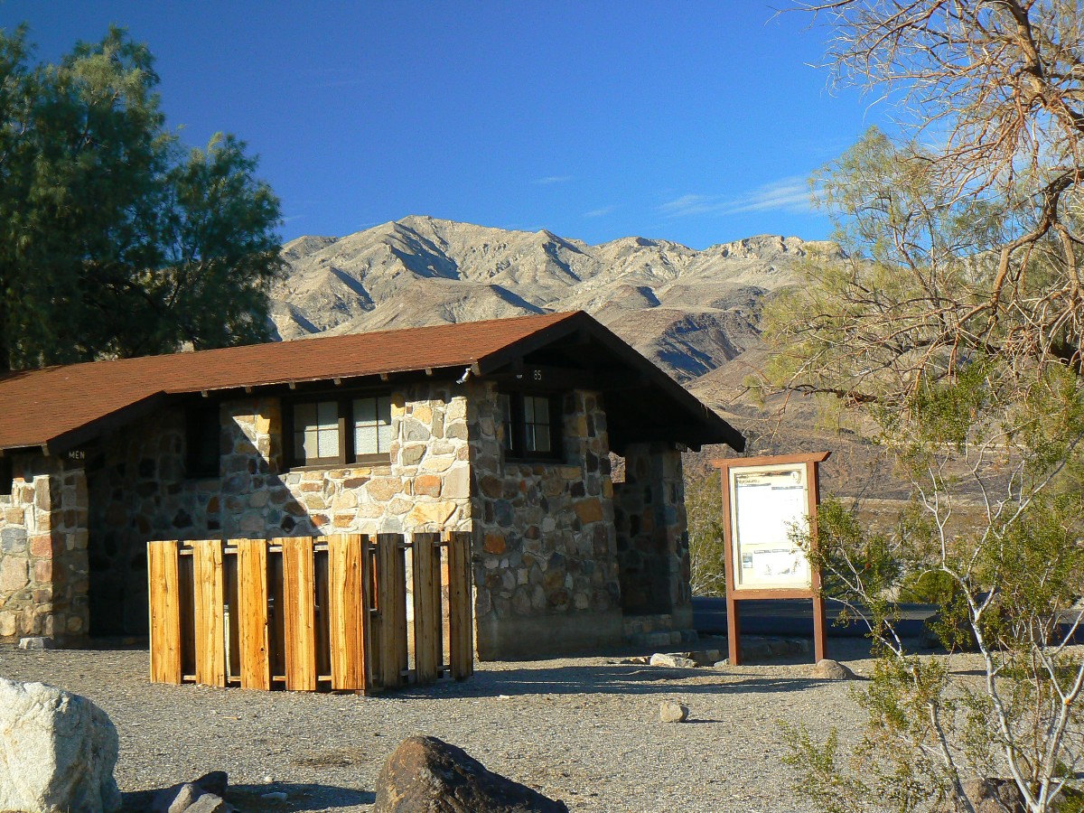
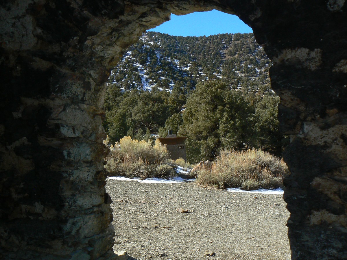
Scenic Toilets of Inner Earth.
Click here for -- USGS article about measuring the span of arches.
Click here or on the happy cyclists to go to all WV reports about Bicycle Touring
| ||||
| ||||
| ||||
 |
 |
 |
| ||||
 |
 |
 |
| ||||
 |
 |
 |
| ||||
| ||||
Link to below Onion article (click here).
Scientists: 'Look, One-Third Of The Human Race Has To Die For Civilization To Be Sustainable, So How Do We Want
To Do This?'
26 Jan. 2012 | ISSUE 48•04
Scientists say at least 2 billion dead bodies will be burned and converted into fossil
fuels.
WASHINGTON—Saying there's no way around it at this point, a coalition of scientists
announced Thursday that one-third of the world population must die to prevent wide-scale depletion of the planet's
resources—and that humankind needs to figure out immediately how it wants to go about killing off more than 2 billion
members of its species.
Representing multiple fields of study, including ecology, agriculture, biology,
and economics, the researchers told reporters that facts are facts: Humanity has far exceeded its sustainable
population size, so either one in three humans can choose how they want to die themselves, or there can be some
sort of government-mandated liquidation program—but either way, people have to start dying.
And soon, the scientists confirmed.
"I'm just going to level with you—the earth's carrying capacity will no longer
be able to keep up with population growth, and civilization will end unless large swaths of human beings are killed,
so the question is: How do we want to do this?" Cambridge University ecologist Dr. Edwin Peters said. "Do we want to
give everyone a number and implement a death lottery system? Incinerate the nation's children? Kill off an entire
race of people? Give everyone a shotgun and let them sort it out themselves?"
"Completely up to you," he added, explaining he and his colleagues were "open to
whatever." "Unfortunately, we are well past the point of controlling overpopulation through education, birth control,
and the empowerment of women. In fact, we should probably kill 300 million women right off the bat."
Because the world's population may double by the end of the century, an outcome
that would lead to a considerable decrease in the availability of food, land, and water, researchers said that,
bottom line, it would be helpful if a lot of people chose to die willingly, the advantage being that these volunteers
could decide for themselves whether they wished to die slowly, quickly, painfully, or peacefully.
Additionally, the scientists noted that in order to stop the destruction of global
environmental systems in heavily populated regions, there's no avoiding the reality that half the world's progeny will
have to be sterilized.
"The longer we wait, the higher the number of people who will have to die, so we
might as well just get it over with," said Dr. Chelsea Klepper, head of agricultural studies at Purdue University,
and the leading proponent of a worldwide death day in which 2.3 billion people would kill themselves en masse at the
exact same time. "At this point, it's merely a question of coordination. If we can get the populations of New York
City, Los Angeles, Beijing, India, Europe, and Latin America to voluntarily off themselves at 6 p.m. EST on June 1,
we can kill the people that need to be killed and the planet can finally start renewing its resources."
Thus far, humanity has been presented with a great variety of death options,
among them, poisoning the world's water supply with cadmium, picking one person per household to be killed in the
privacy of his or her home, mass beheadings, and gathering 2.3 billion people all in one place and obliterating
them with a single hydrogen bomb.
Sources confirmed that if a death solution is not in place by Mar. 31, the U.N.,
in the interest of preserving the human race, will mobilize its peacekeeping forces and gun down as many people as
necessary.
"I don't care how it happens, but a ton of Africans have to go, because by 2025,
there's no way that continent will be able to feed itself," said Dr. Henry Craig of the Population Research Institute.
"And by my estimation, three babies have to die for every septuagenarian, because their longer life expectancy means
babies have the potential to release far more greenhouse gases going forward."
While the majority of the world's populace reportedly understands this is the only
option left to save civilization, not all members of the human race are eager to die.
"I personally would rather live, but taking the long view, I can see how ensuring
the survival of humanity is best," said Norwich, CT resident and father of three Jason Atkins. "I guess if we were to
do it over again, it would make sense to do a better job conserving the earth's finite resources."
"Hopefully, the people who remain on the planet will use the mass slaughter of their
friends and loved ones as an incentive to be more responsible going forward," he added.
|
Wild Vagabond Main |
Trip Report Index  |
Caveat  |
|---|