Biking and Hiking Death Valley
Biking Bad Water and Artist Loop, Dante Delight, and Stove Pipe Wells
Hiking Hole in the Wall and Fall Canyon
| ||||
| ||||
| ||||
| ||||
Photos are scattered throughout this report.
Keep scrolling.
This trip was organized by Cheryl Soshnik and others of the Wasatch Mountain Club.
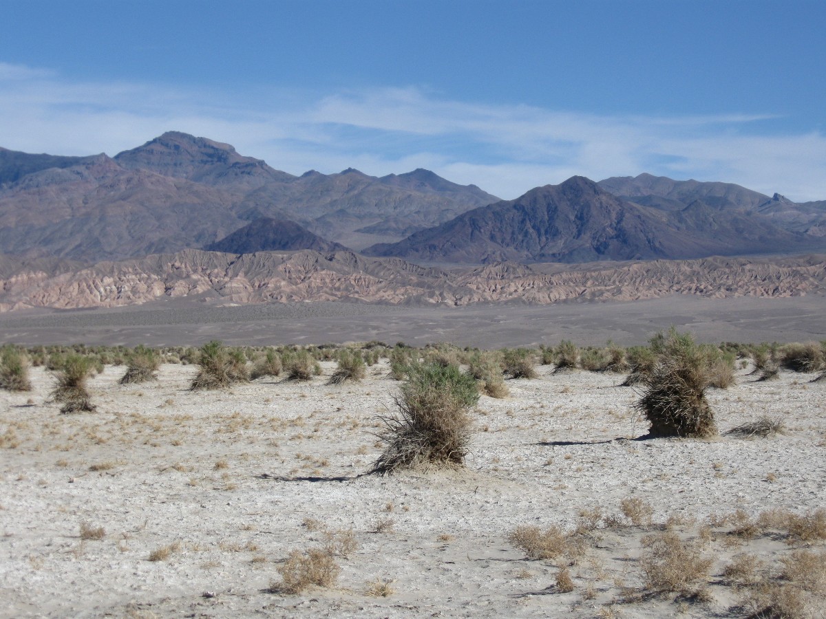
Preliminary: Driving 380+ miles to Death Valley (DV) from Northern Arizona. Out of the land of glaciers to the land of salt brush and sand, where I arrive to greet old friends from prior treks. Lovely. Pink sunset over bare hills.
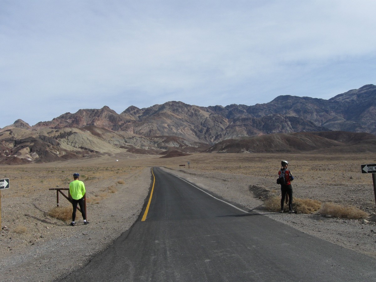
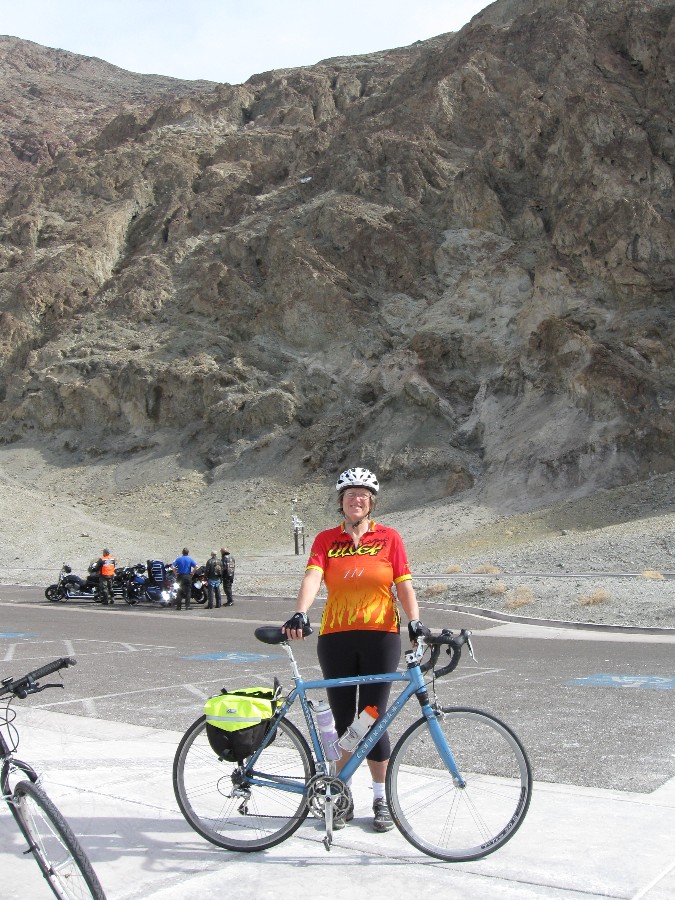
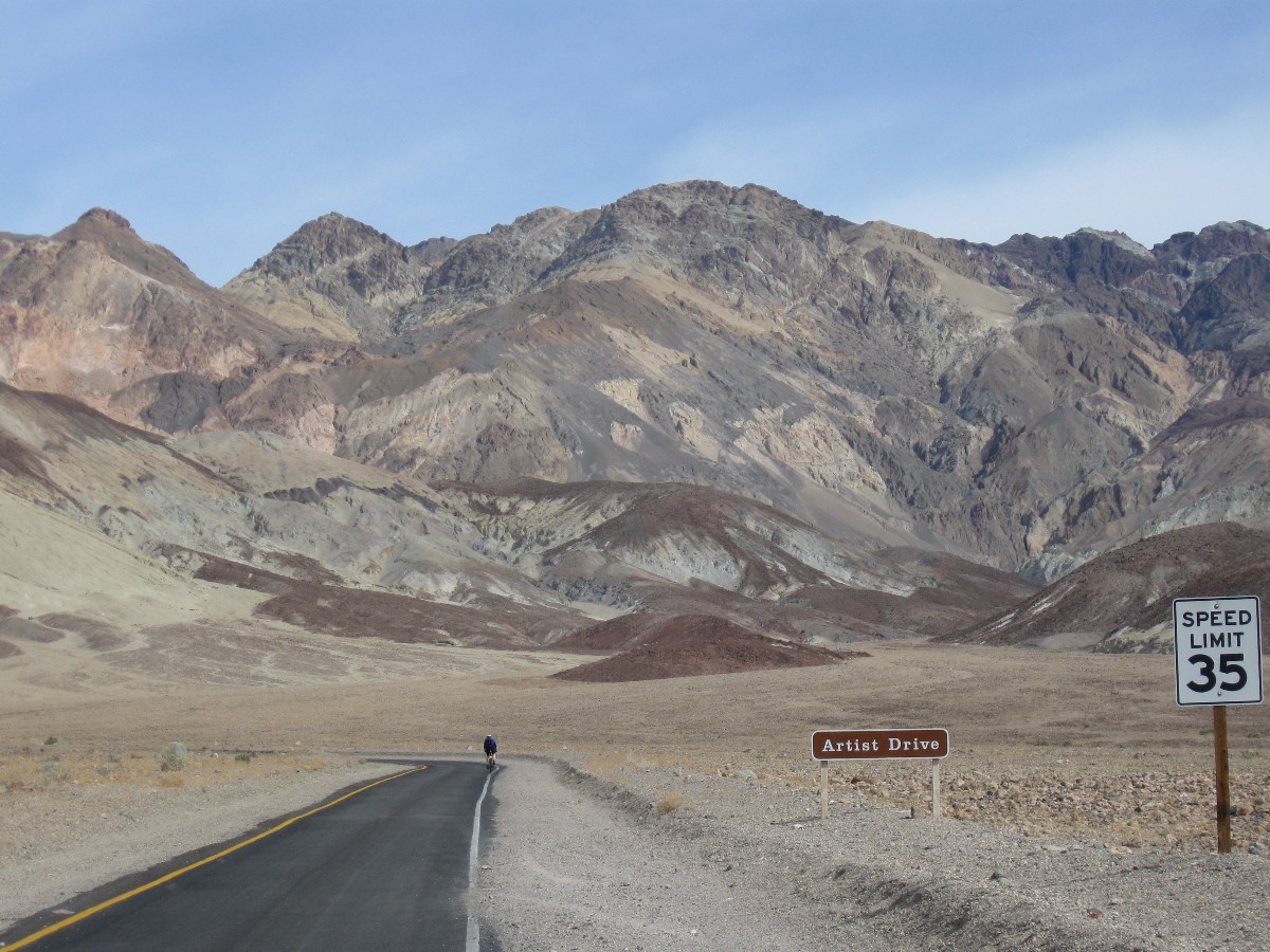
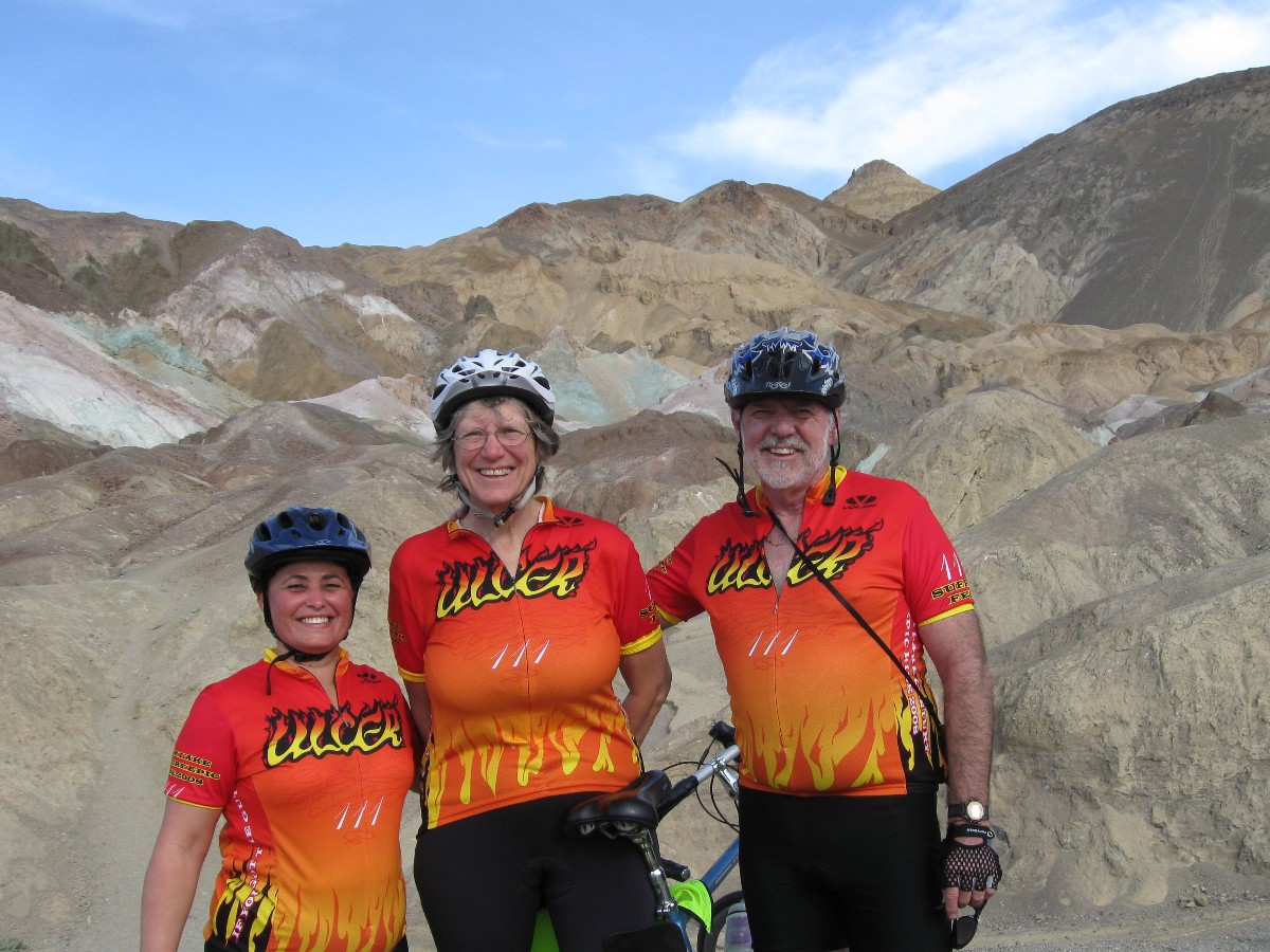
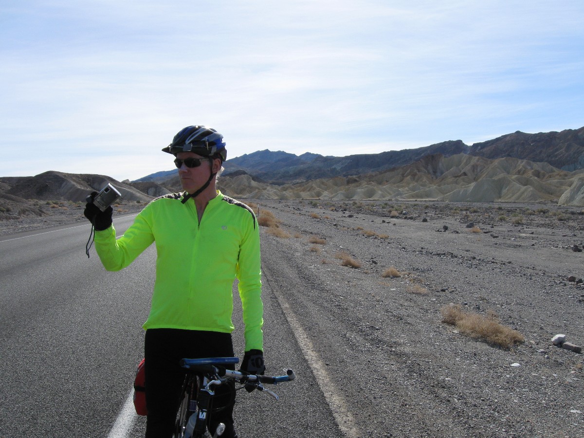
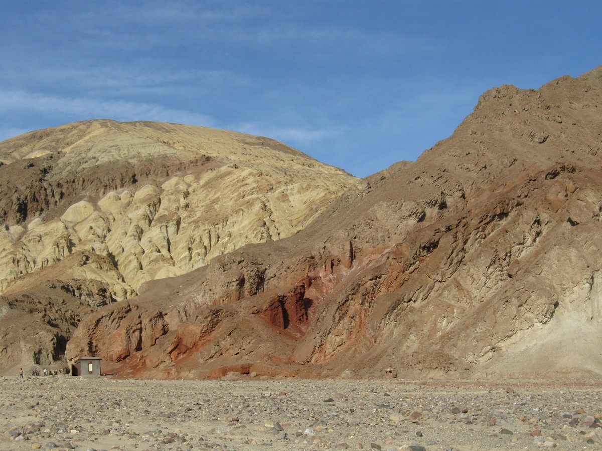
Day 1: Bad Water and Artist Loop Biking. 42 miles.
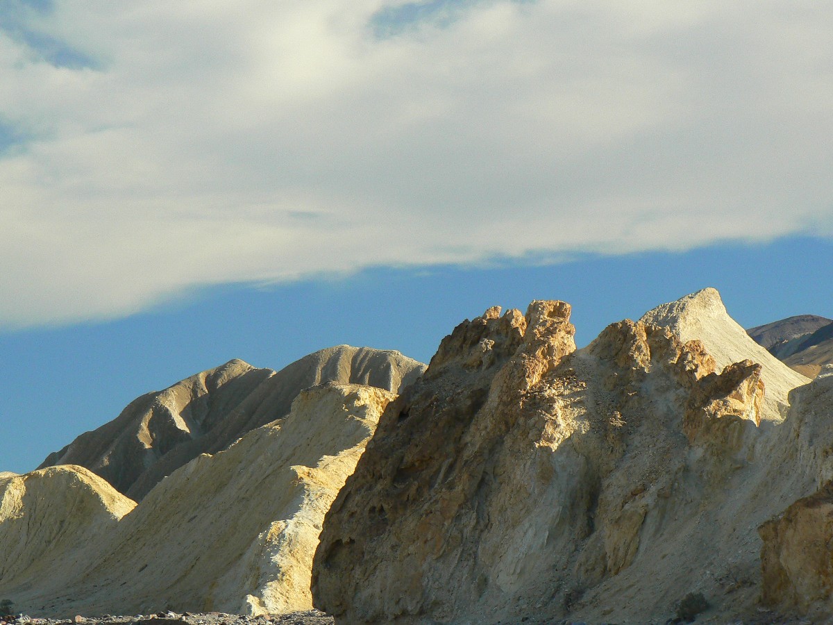
The salt dust flows into my mouth as I careen downhill, finally, from the Artist Pallet.
The rock walls crowd the wash through which the road is laced. Faster. Lean the turns. 30. 35 MPH. Back-off,
perhaps there's gravel on a blind turn? This loop is a tough ride - steep and short, a quick decline followed by
more up and then down to rejoin the Badwater Road.
The day started with a slow awakening and lots of catch-up talk around the coffee
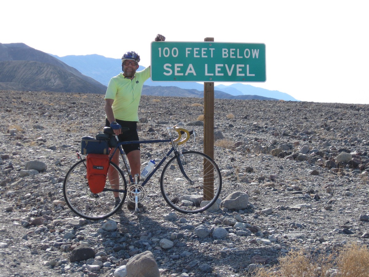
pot. Then, on the road to Badwater, passing Chris Rock along the way. The road rolls - rolls past alkaline flats
and a pooling mirage as we ride like the housing market, underwater? no, below sea level. Turning around at the low
point, we ride the return leg, and that's when we climbed the Artist Drive.
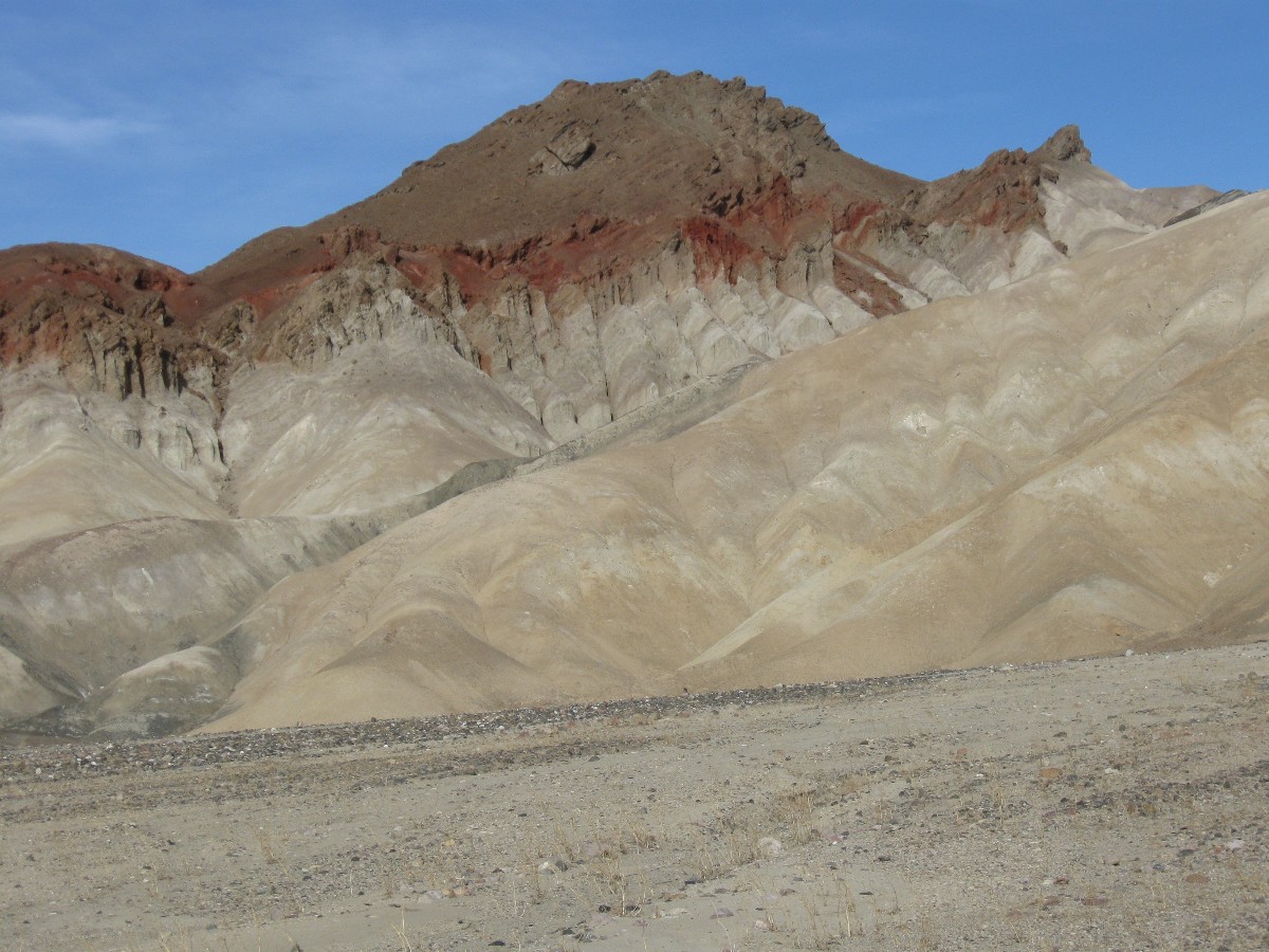
Corrugated nude hills flank the ribbon of tarmac on the 10% climb.
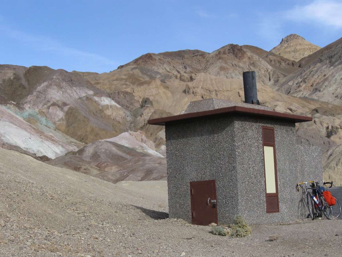
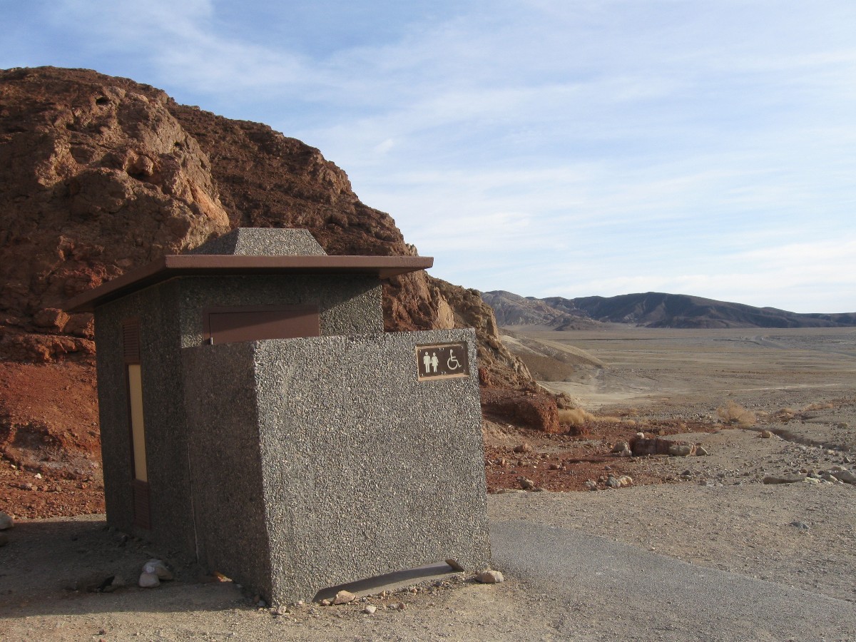
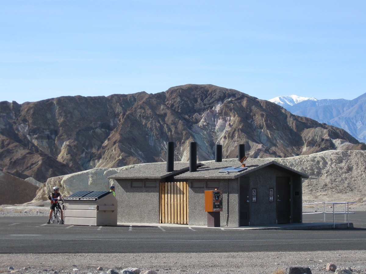
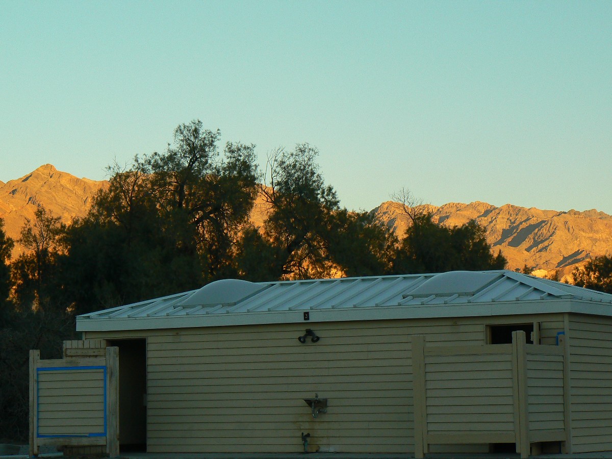
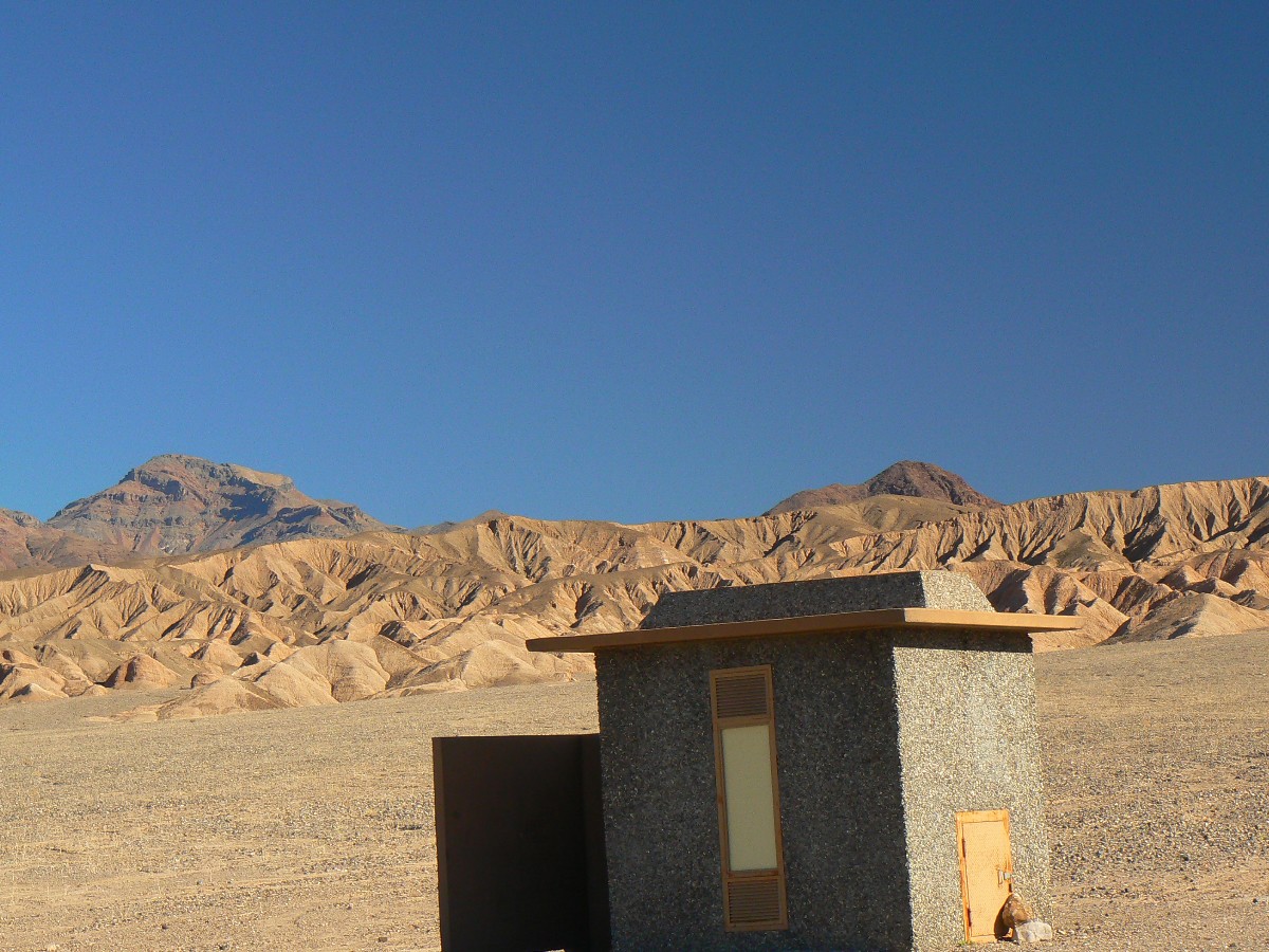
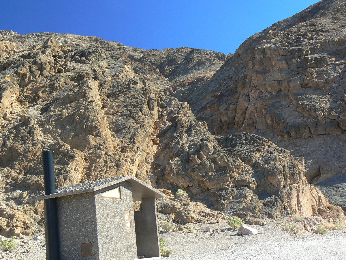
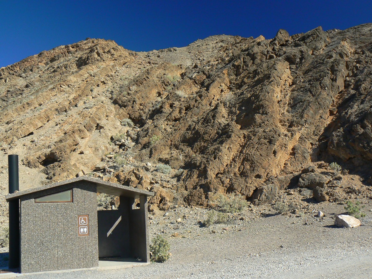
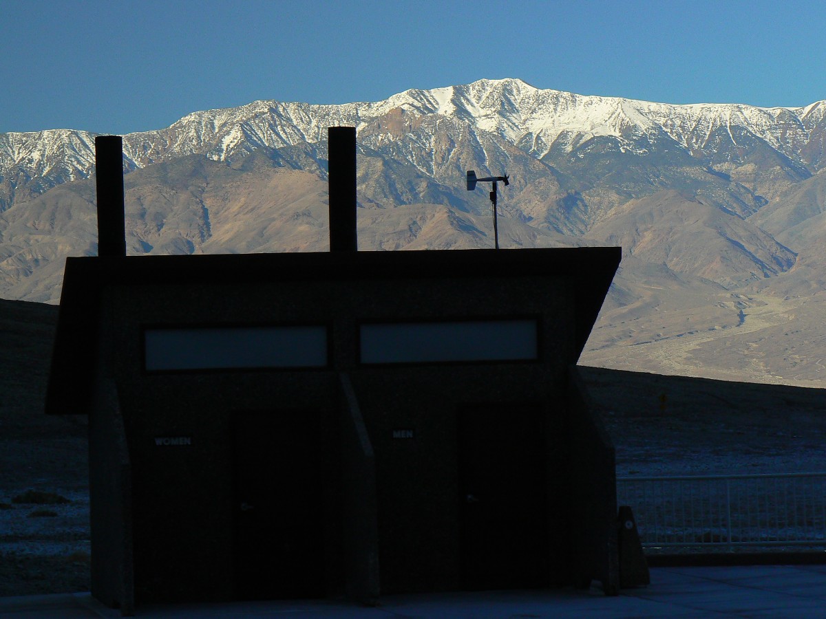
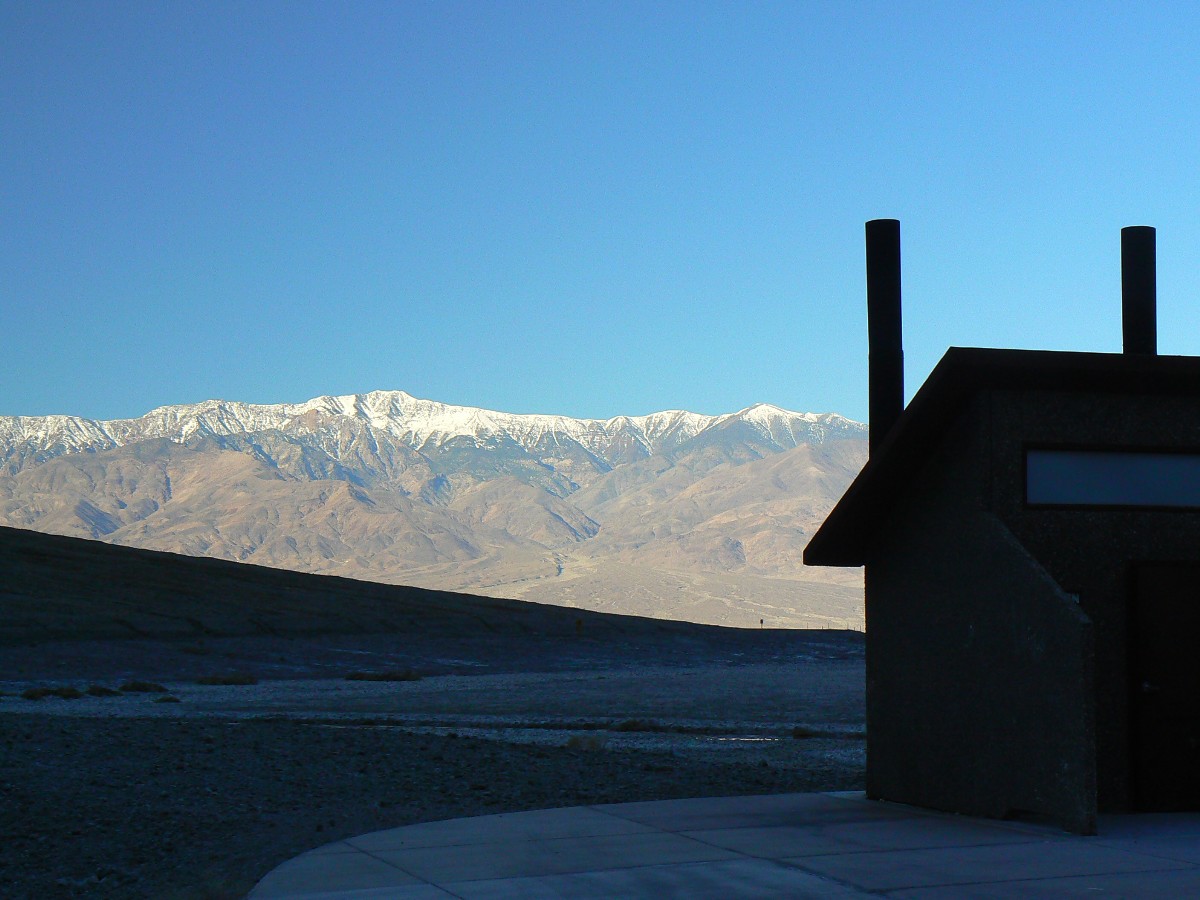
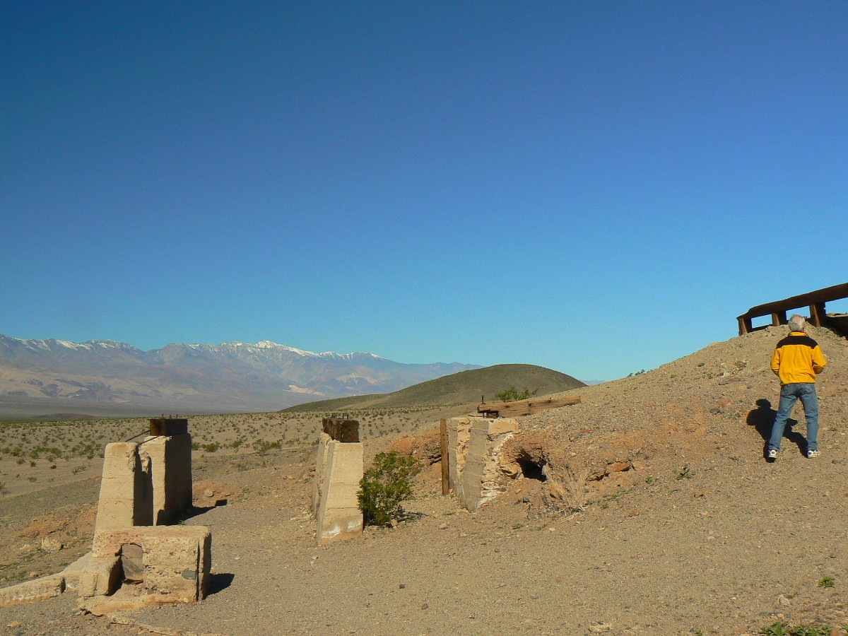
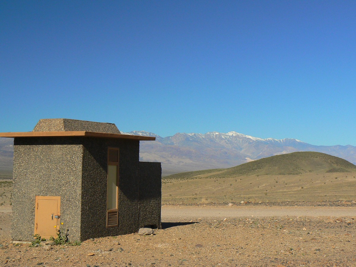
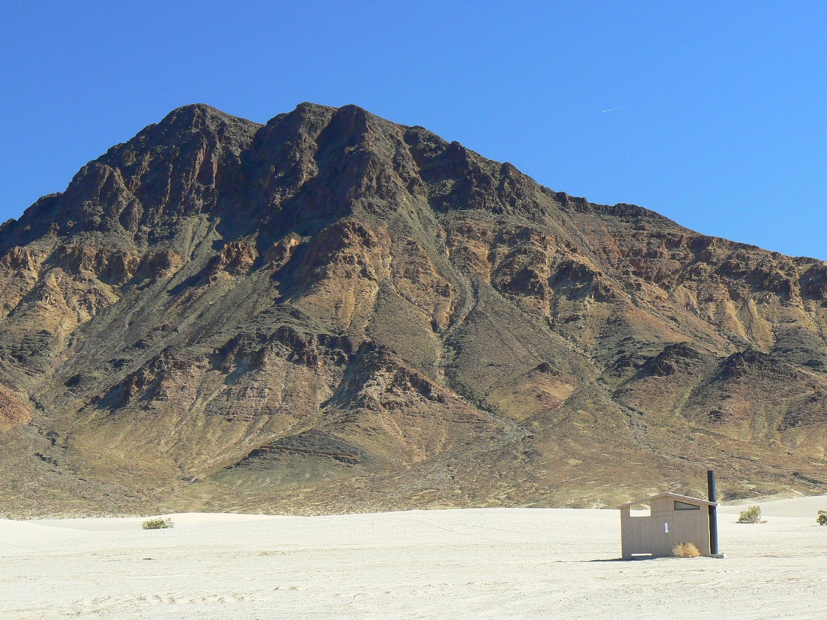
Fading power, the ride ends in a bit of a grind. Scenic toilets are seen at Golden
Valley and Artist Palette. Zig reports there are dates (from date palms) on the ground on the playa between camp and
the Furnace Creek pool and showers.
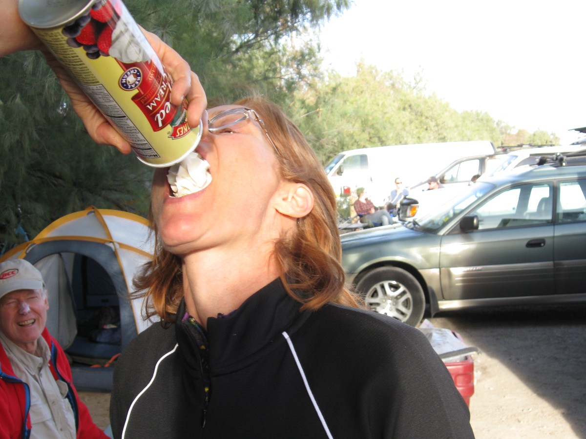
Light fades as we await Robert Turner's Dutch oven chicken with salad and strawberry
shortcake and rhubarb compote. Yummy.
![]() See the map of today's Bad Water and Artist Loop
ride at: (click here)
See the map of today's Bad Water and Artist Loop
ride at: (click here)
 |
 |
 |
 |
 |
 |
Day 2: Dante Delight. 36 bike miles + 3000' elevation gain.
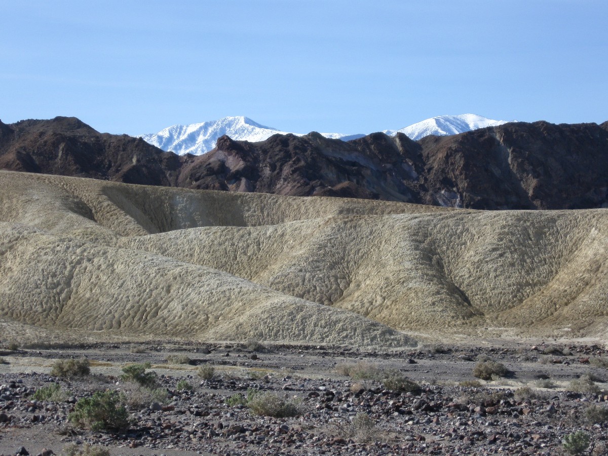
Telescope Peak peeks out above the terrace of light and dark highly textured frontscape.
Telescope - coated with snow while we're experiencing fairly warm temps in the lowlands. Lowlands indeed, we (Chris W.
and Dave R., and I) start the day below sea level and grind and grind up, past Zibriskie Point and on, on to the Dante
Point turn-off and then more up on this road. Chris faded back towards camp, followed shortly by me, then Dave kept
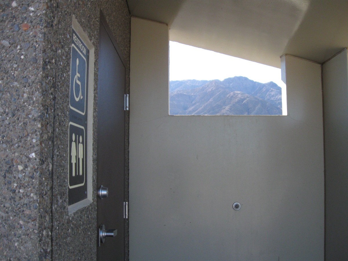
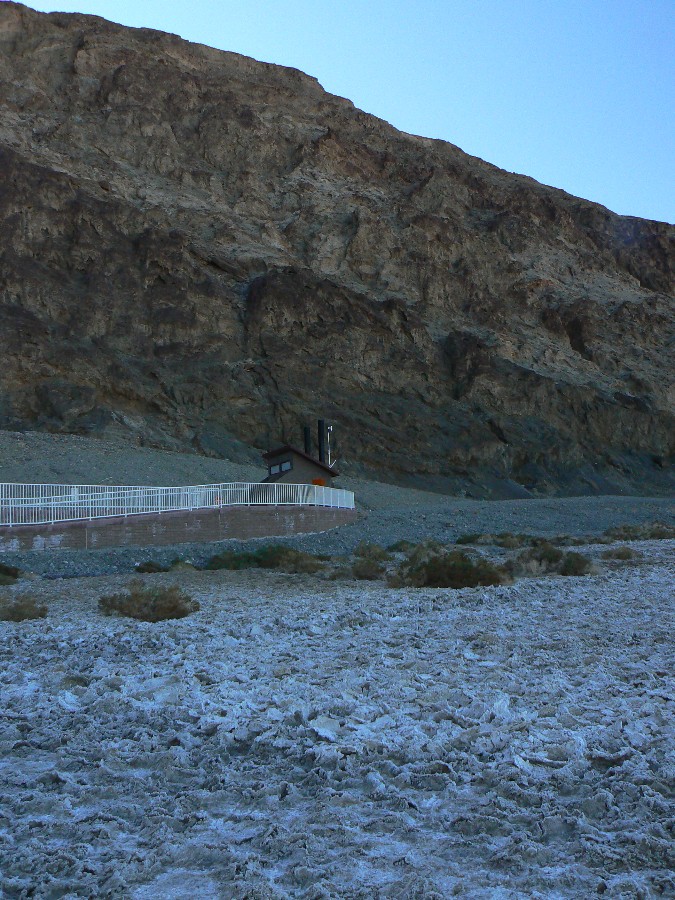
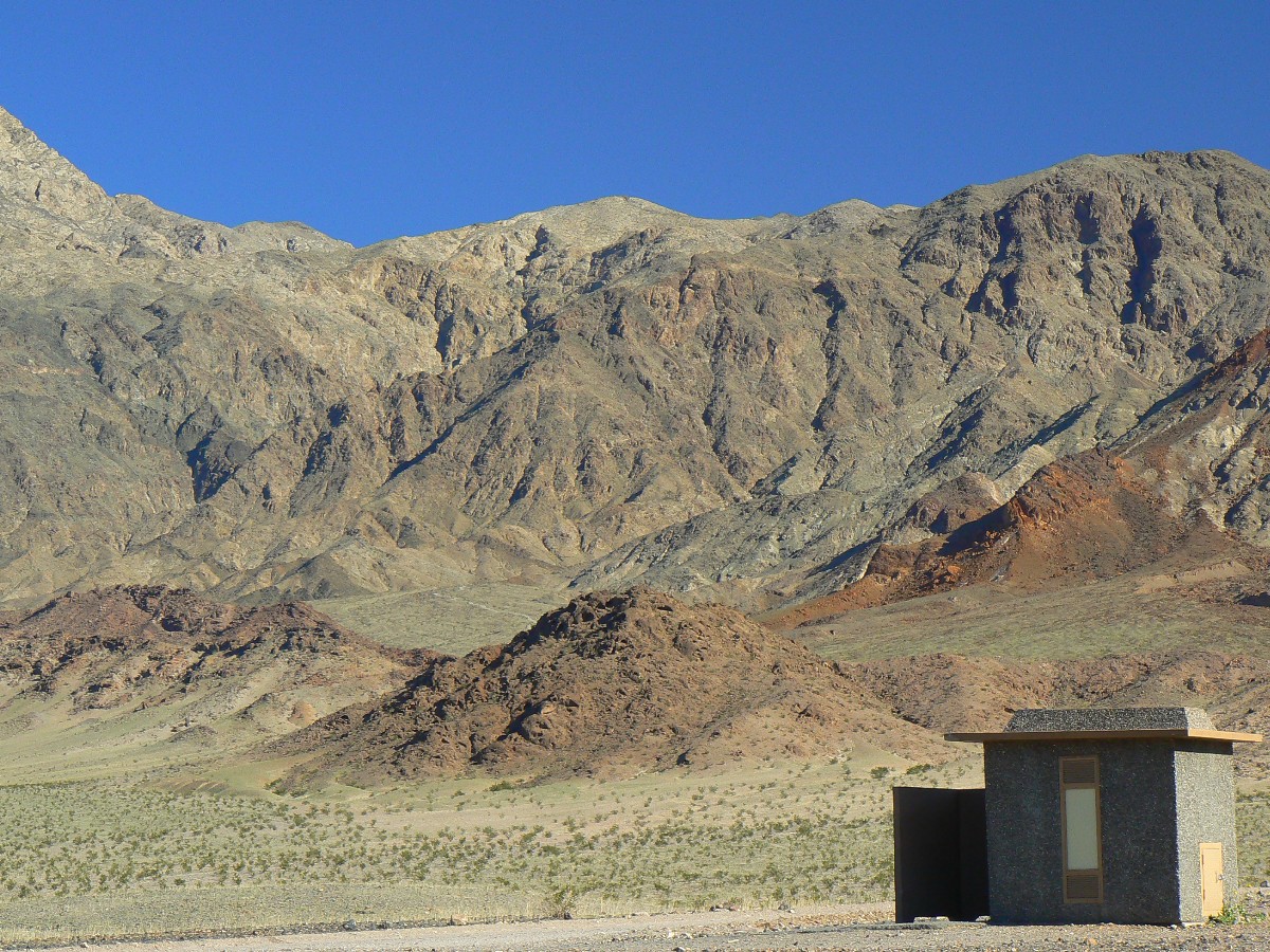
climbing, with the last bit listed as a 15% grade. A scenic toilet view, but not at the high point.
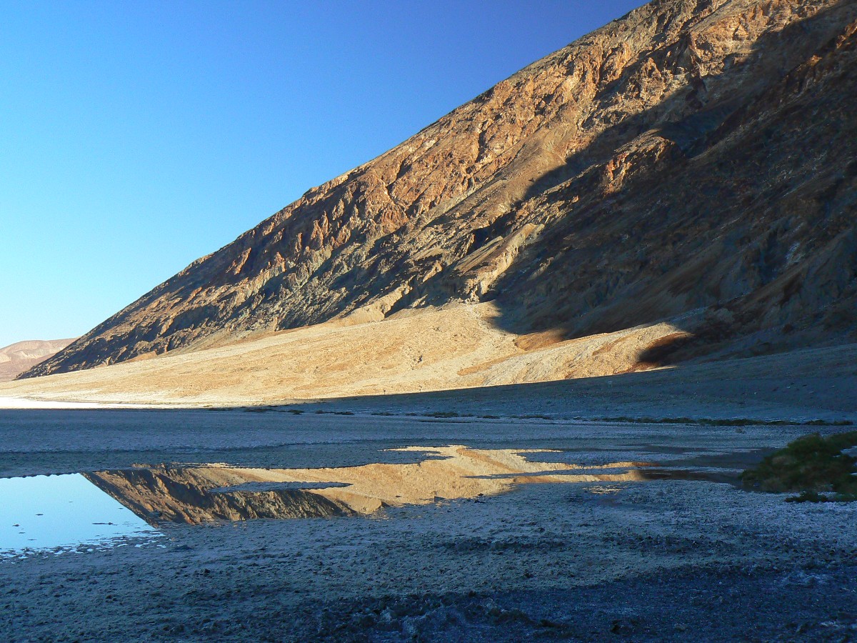
I returned to camp to find Cheryl without equipment because the vehicle traveling to
The Racetrack experienced a torn tire. Tough times on the playa called The Racetrack, where rocks are blown across
the slickened mud. Sometime after dark the Racetrack group returns to camp. A calm evening ensued.
![]() See the map of today's Dante Delight ride at: (click here)
See the map of today's Dante Delight ride at: (click here)
 |
 |
 |
 |
 |
 |
Day 3: Stove Pipe Wells. 49 bike miles.
The forest hawk, apparently a Coopers Hawk, zips low over the monarch tamarisk -
headed for the date palm rows bordering the unnatural tailored lawn where oddly dressed people ride around on electric
carts and hit small white balls to lure out exotic golfs. They carry an amazing assortment of clubs to dispatch any
golf foolish enough to chase the white balls. So much water goes to so few in this land of heat and almost negative
humidity in the quest to bash golfs. Of course, this waste and abuse is miniscule compared to the terror-supporting
winnehogos, burning as much fuel oil as possible, even courteously running generator motors all night.
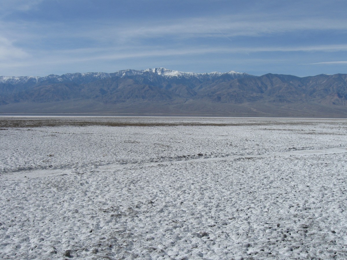
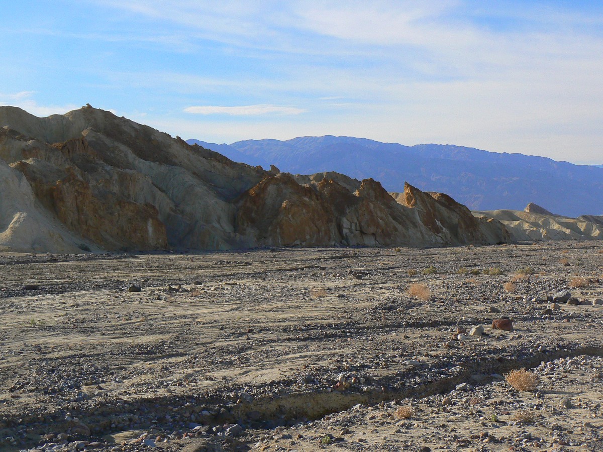
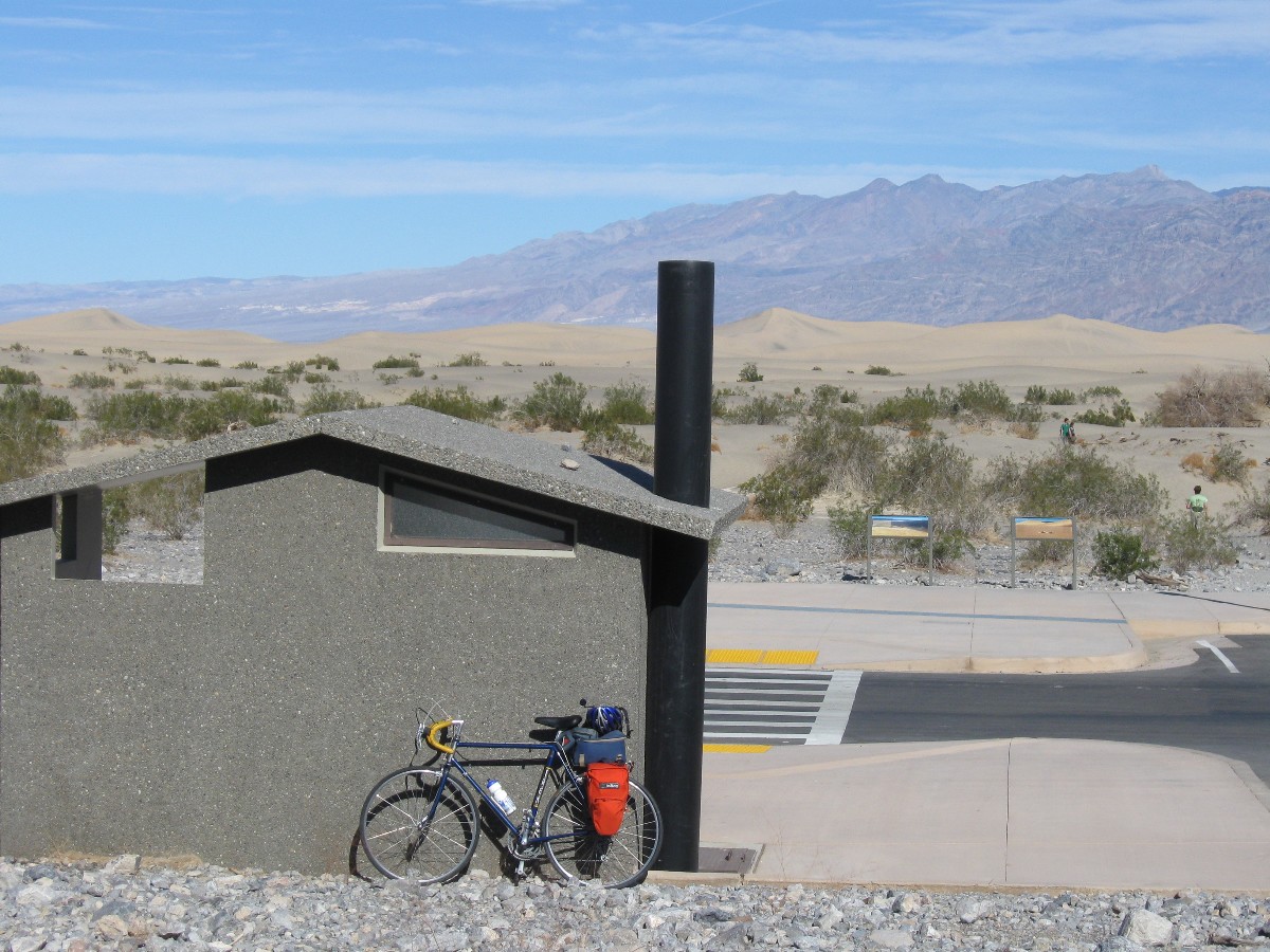
Today, many of us ride to Stove Pipe Well, below then above, then below (etc.) sea
level. A glorious tour past the Devil's Corn Field and Mesquite Sand Dunes, backed by fluted, rumpled, corrugated
mountains with a foreground of salt beds.
![]() See the map of today's Stove Pipe Well ride at: (click here)
See the map of today's Stove Pipe Well ride at: (click here)
 |
 |
 |
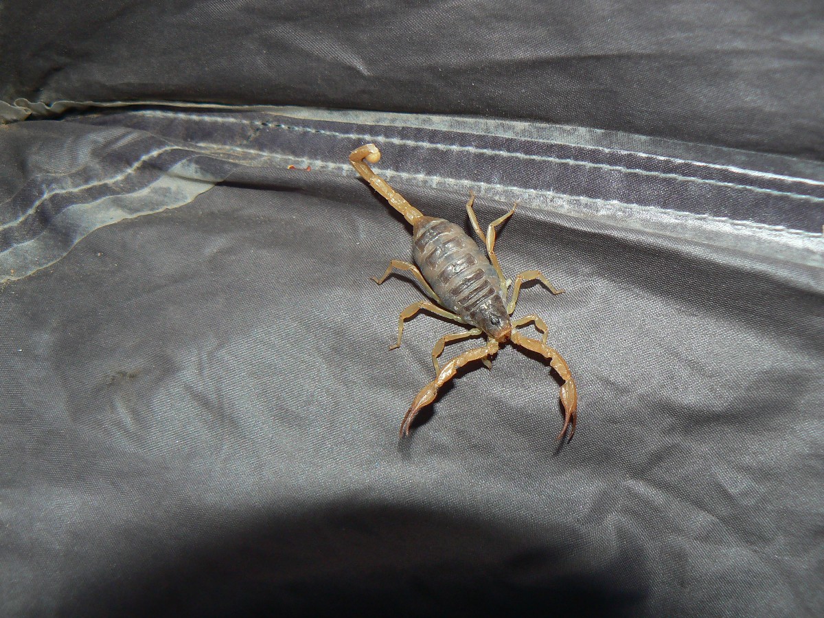
Day 4: Hole in the Wall or Your Head? Upper Hole-in-the-Wall hike. 15.5 miles;
+ and - 2000', 4 arches 1 set of pictos. ERM = 23. Store the bike, get out those hiking boots...
The sun has long ago set behind the near horizon and the first stars of the night
are glowing. Yet, I'm still pounding along on well-bruised feet and failing, flabby, faltering sewing-machine legs,
on a car quest in the gathering gloom. OK, it's not that desperate, yet the old body is protesting and I've been out
of water since joining the circle of the loop portion of this lollipop hike. Lollipop because the hike is a circle
shape with a stick, a lollipop.
Finally, I see the faint shape of the truck shell - seeing the shell, not the rest
of the truck, in this light. Recall the Moody Blues "Cold-hearted orb that rules the night, removing color from our
sight..." A group of modern day psycho-physicists?
OK, I started this hike a bit late in the day, then compounded the challenge by
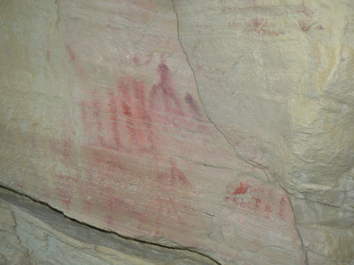
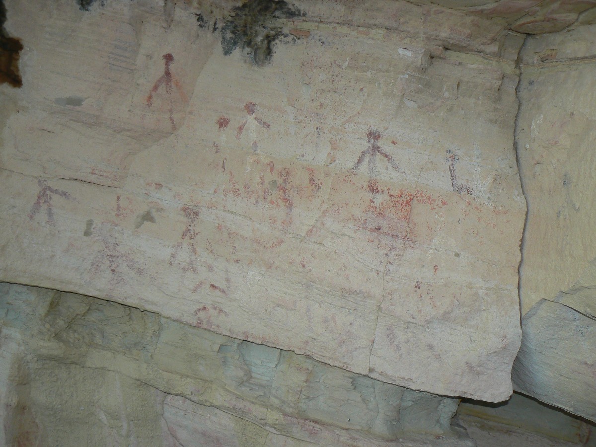
parking nearly 2 miles from the end of the road. Before long, I was negotiating the smoothest wash sections,
stumbling along to the primitive pictos - not far from the old quarry area for the Furnace Creek Inn - you'll
recognize the distinctive golden rock. No track or trail, I head up into the limestone narrows and spy the second
arch of the day - the first was an extreme distant skyline arch to the South. I'm cool, as the wind is ripping
down-canyon and in places the canyon is already in the shade. Another arch near mile 4 (nearly 6 miles for me).
After hiking over the divide and crossing into the canyon to the North, I see two
more small arches. I am able to increase my hiking speed as the sun dips low. Will it go as low as the moral
equivalent of a tea-bagger? No, because this is the new standard in low, representing class warfare carried for
the elitist rich, camouflaged with christian symbols and poor or no knowledge of the constitution. (For example,
denying or ignorant of the 'common welfare' section of the constitution.) It's truly amazing how many can be
persuaded to vote against their own interests by cleaver framing of words and flag-waving slogans, which take the
place of reason and thought.
Finally, I'm bouncing back down the coluvial fan to a late shower and a delightful
snack.
![]() See the map of today's Upper Hole-in-the-Wall hike at: (click here)
See the map of today's Upper Hole-in-the-Wall hike at: (click here)
 |
 |
 |
 |
 |
 |
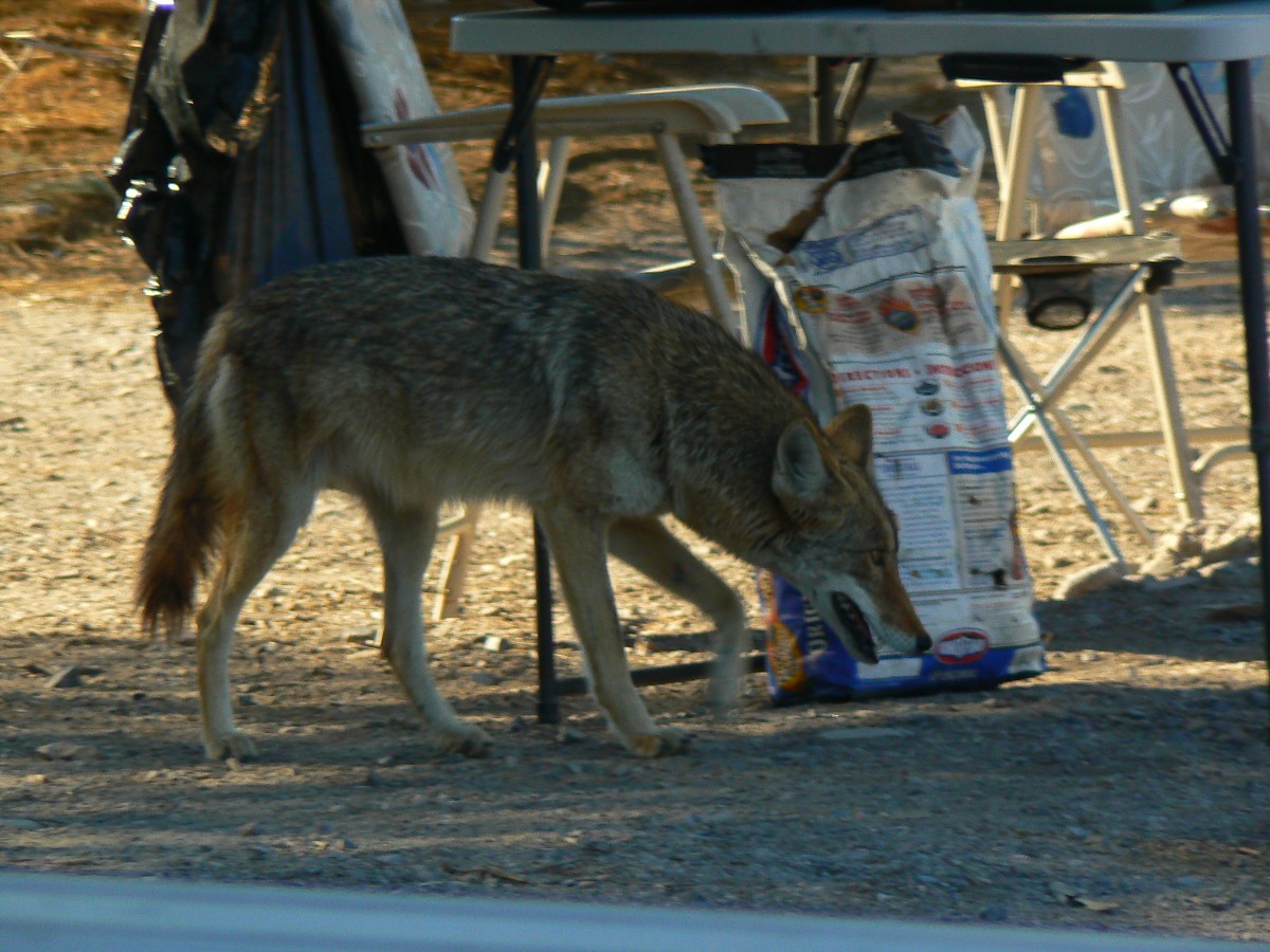
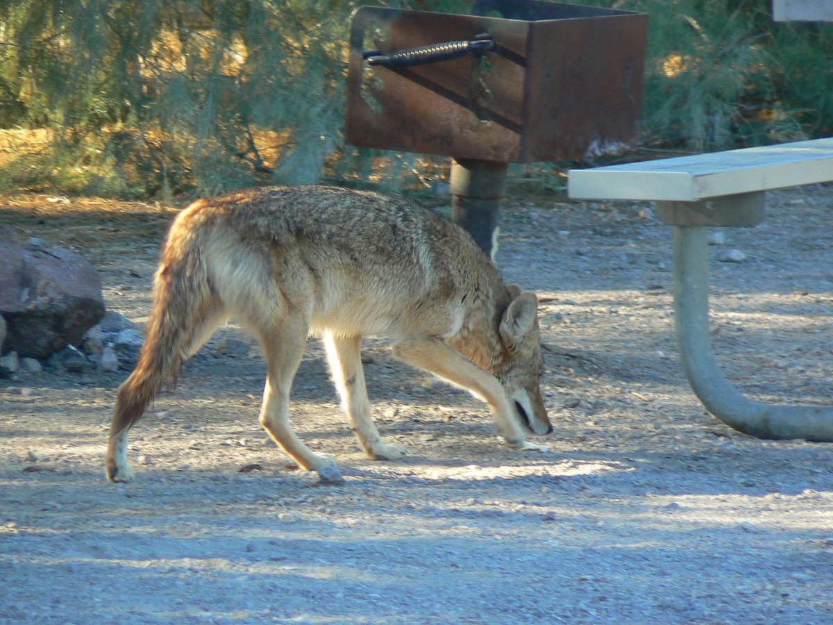
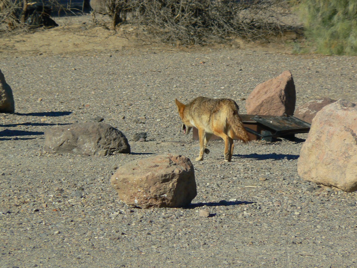
Day 5: Rest-A-Rama.
A Dave Rumbellow-style day of culture - visiting the museum, reading, exploring
local exhibits. I'm interrupted in my reading by a Coyote - who walks into camp inspecting things. Chris Winter,
having left for the quiet of back road camping, just missed Mr. Coyote.
 |
 |
 |
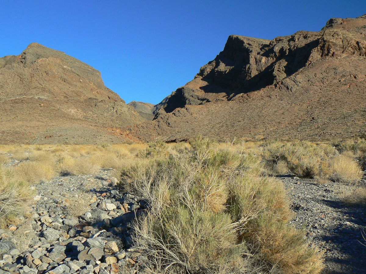
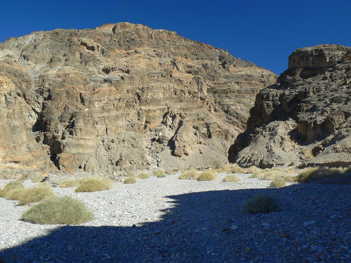
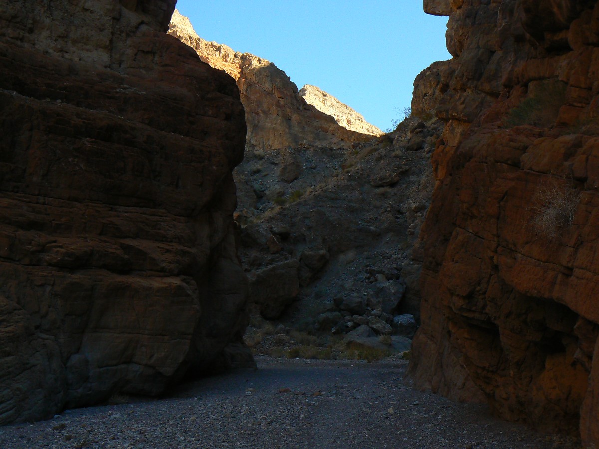
Day 6: Fall Canyon. 7.5 miles.
Upcanyon, the tortured, contorted, folded mountain frames what appears to be
a box canyon. Really, it's a turn in this twisting Fall Canyon, as I hike up the soft gravel incline to the dry
falls, through limestone narrows. Nice. I see a tiny NB and an arch nearby, then an arch on high from the brief
side canyon. Fall Canyon is adjacent to Titus Canyon - a famous drive-through of sheer walls.
![]() See the map of today's Fall Canyon hike at: (click here)
See the map of today's Fall Canyon hike at: (click here)
Up next - Joshua Tree Junket Backpack
Click here to go to the report of the Joshua Tree Junket.
 |
 |
 |
 |
 |
 |
 |
 |
 |
 |
 |
 |
 |
 |
 |
 |
 |
 |
 |
 |
 |
 |
 |
 |
![]() See the map of today's Bad Water and Artist Loop
ride at: (click here)
See the map of today's Bad Water and Artist Loop
ride at: (click here)
![]() See the map of today's Dante Delight ride at: (click here)
See the map of today's Dante Delight ride at: (click here)
![]() See the map of today's Stove Pipe Well ride at: (click here)
See the map of today's Stove Pipe Well ride at: (click here)
![]() See the map of today's Upper Hole-in-the-Wall hike at: (click here)
See the map of today's Upper Hole-in-the-Wall hike at: (click here)
![]() See the map of today's Fall Canyon hike at: (click here)
See the map of today's Fall Canyon hike at: (click here)
Click here for -- USGS article about measuring the span of arches.
Click here for -- fossil fools.
Click here or on the happy cyclists to go to all WV reports about Bicycle Touring
| ||||
|
Wild Vagabond Main |
Trip Report Index  |
Caveat  |
|---|