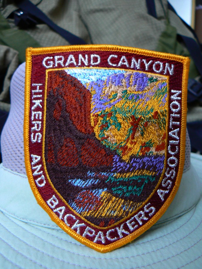
Grand Canyon Trip Report - Volunteering at the bottom of The Canyon / Grand Canyon Hikers and Backpackers Ass. (GCHBA) / at Bright Angel Campground
(October 18 - 24, 2011)
Text © copyright by Rob; and Photos © copyright by Rob

|
Grand Canyon Volunteer Vamoose:
Grand Canyon Trip Report - Volunteering at the bottom of The Canyon / Grand Canyon Hikers and Backpackers Ass. (GCHBA) / at Bright Angel Campground (October 18 - 24, 2011) Text © copyright by Rob; and Photos © copyright by Rob |
|
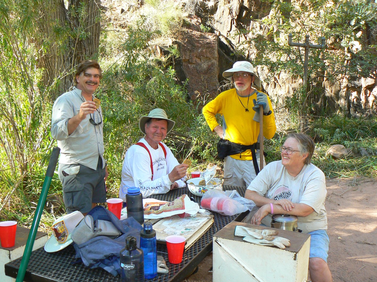
Co-Adventurers: Becky Ryder, Janie Honeycutt, Kathy Hayes, Kurt Sedler, Lynn Davis, Mason Honeycutt, Melvin Weber, Mike Hayes, Pat Davis, Randy Freund, Rob Jones, Steve Nelson, Tim Kane, Wendy Lotze; Organized by Chris Forsyth and Doug Nering; food courtesy of GCHBA. Mule packing by packers of the NPS (National Park Service). Site-based planning by Sjors, permanent volunteer at Bright Angel Camp.
Note: the opinions in this report are not necessarily those of the GCHBA or its Board.
|
| |||||
| |||

|
| ||||||
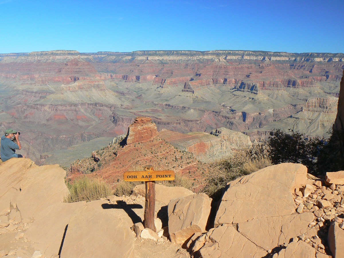
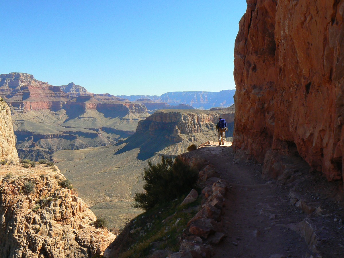
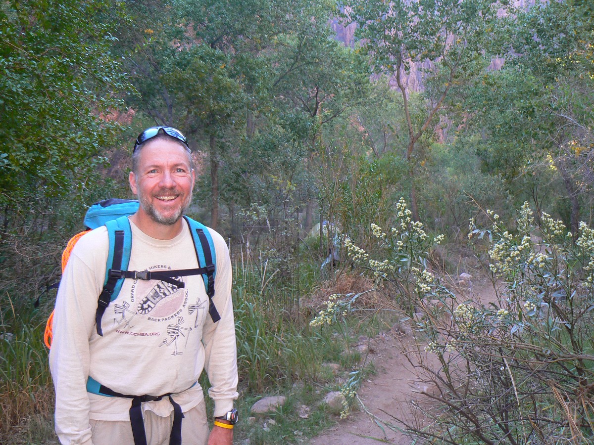
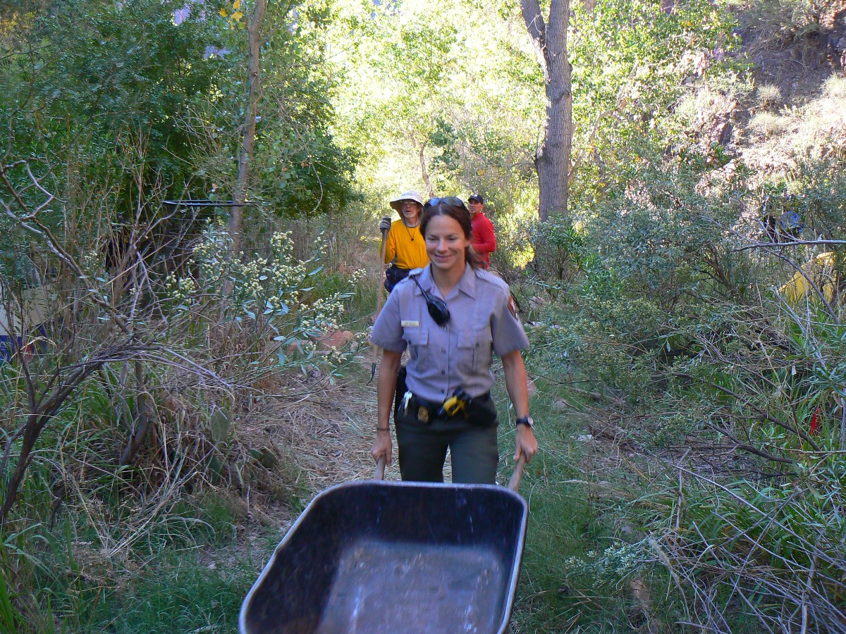
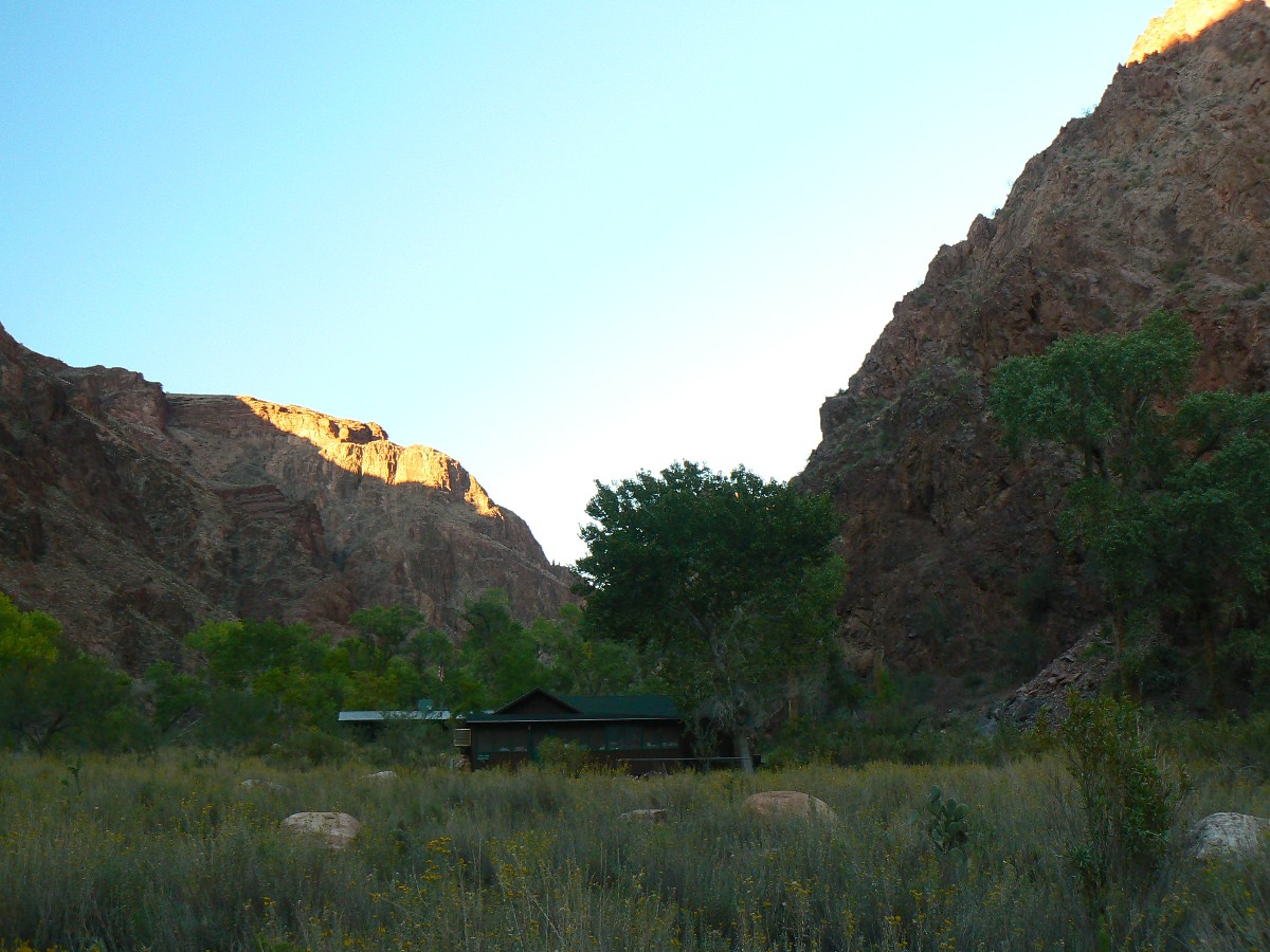
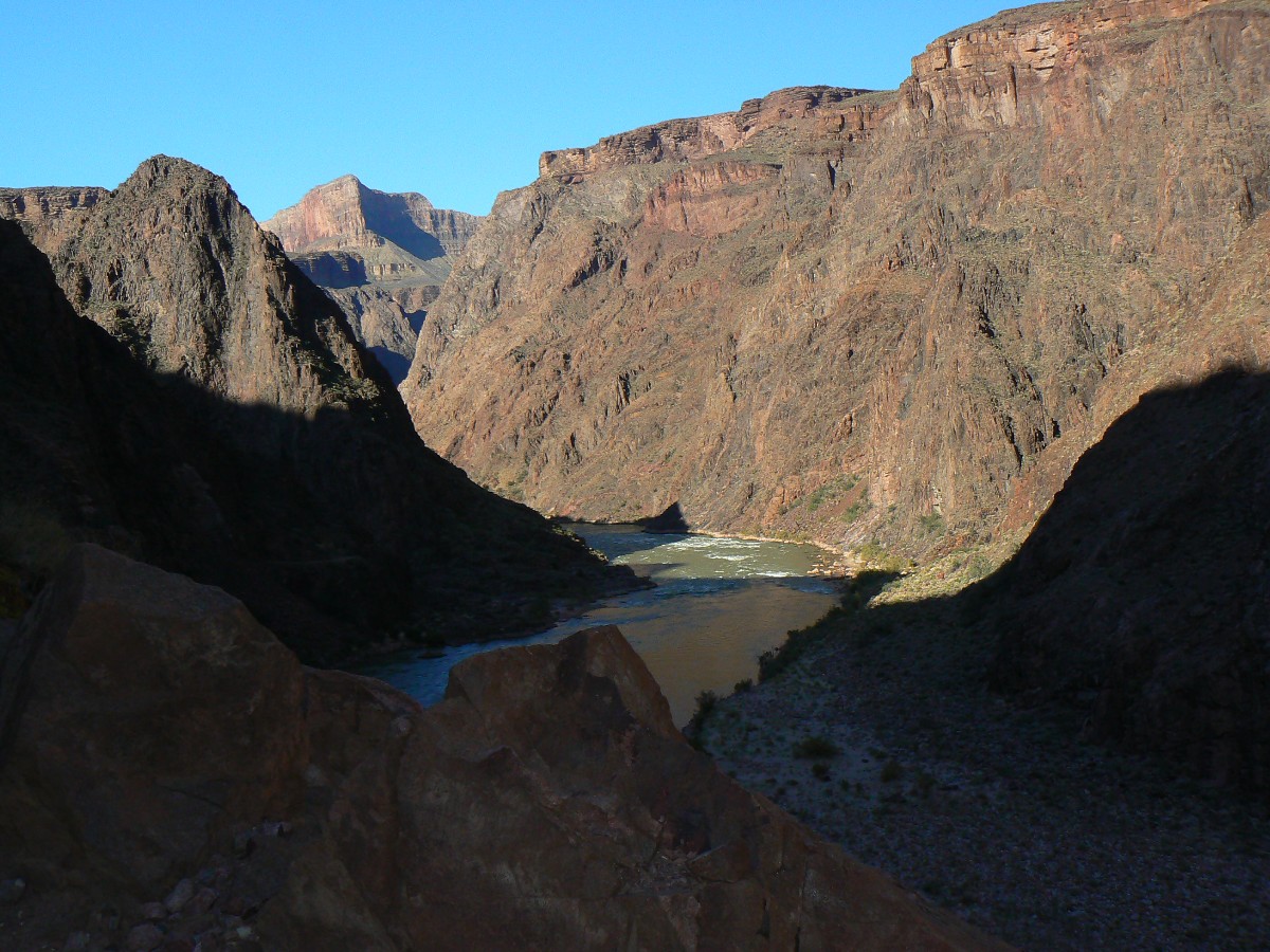
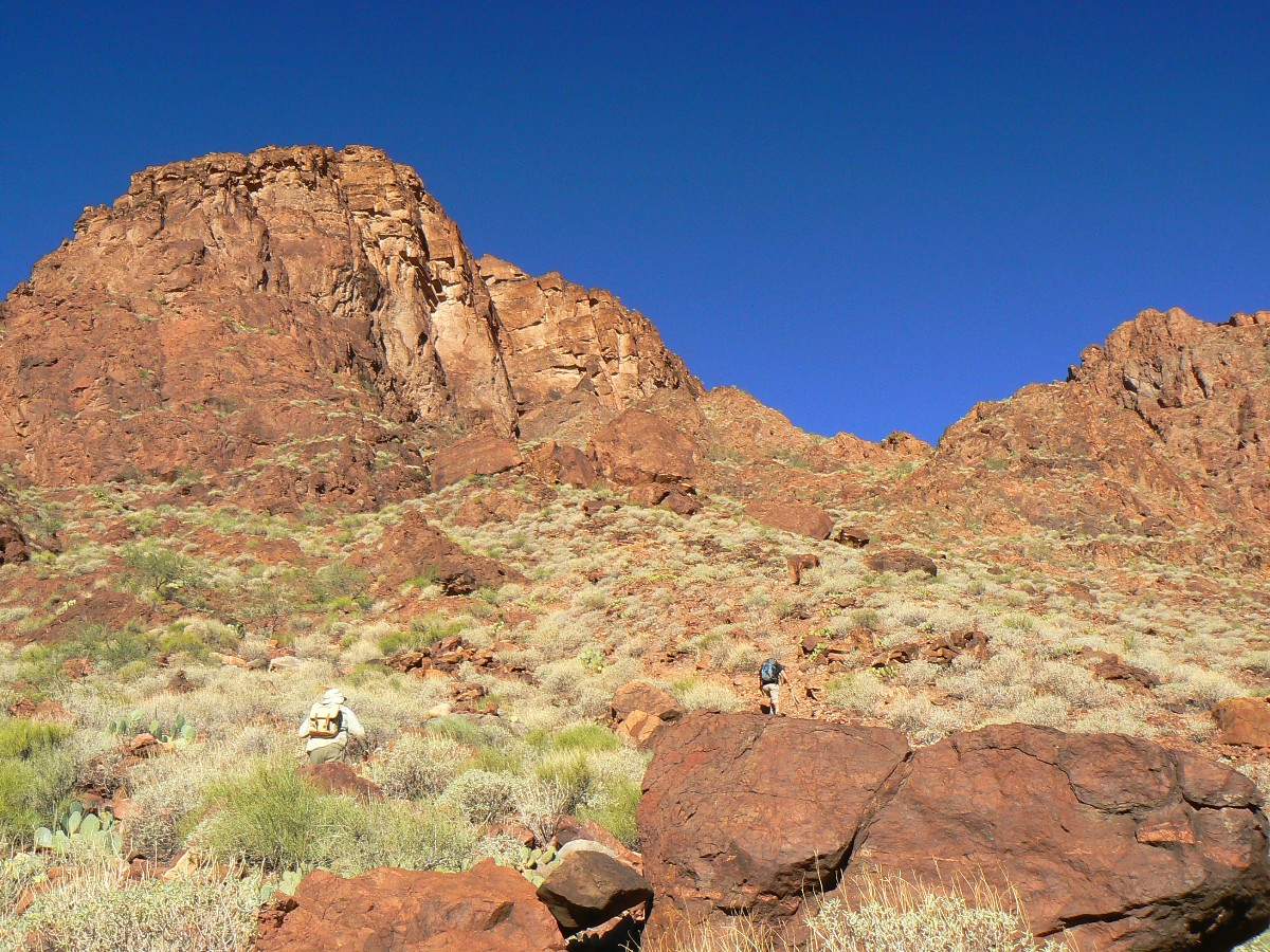
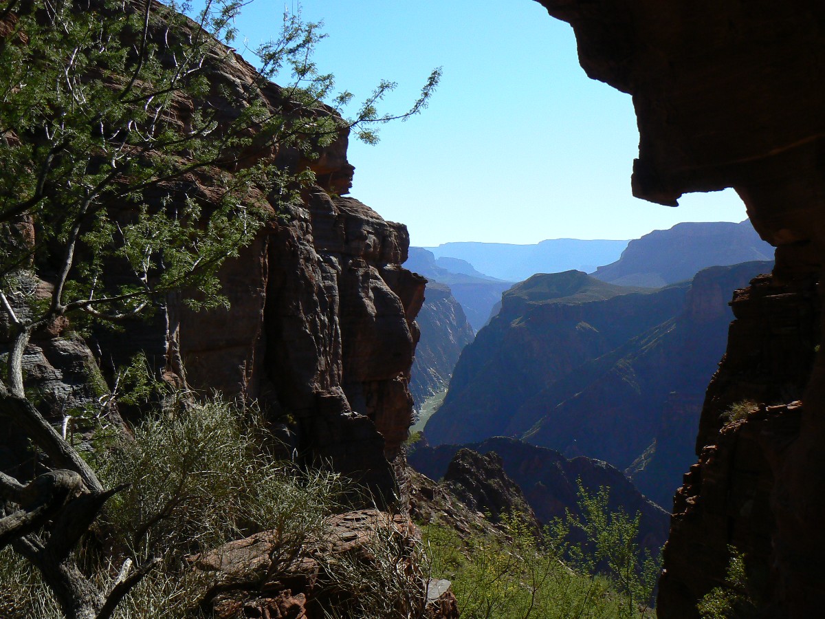
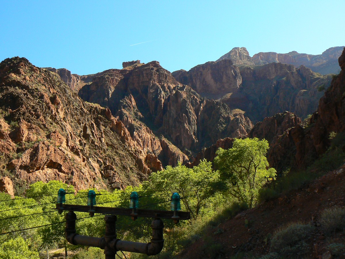
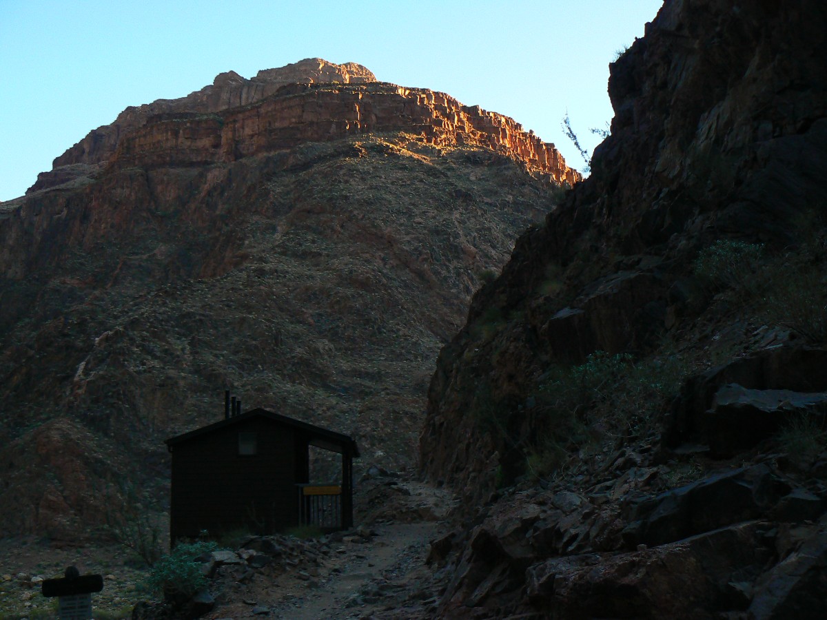
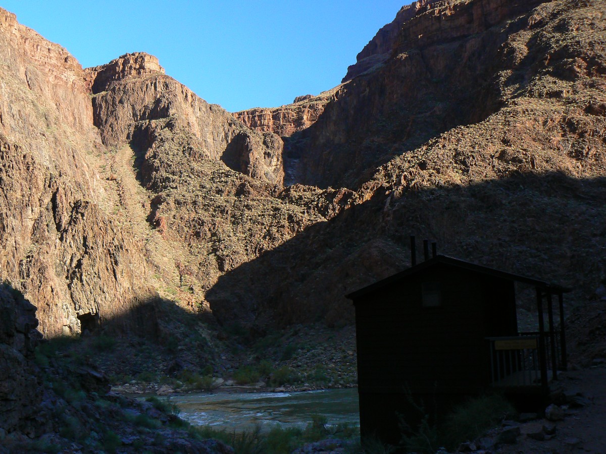
Day 1: South Kaibab Slog: to BA (Bright Angel). About 7.5 miles.
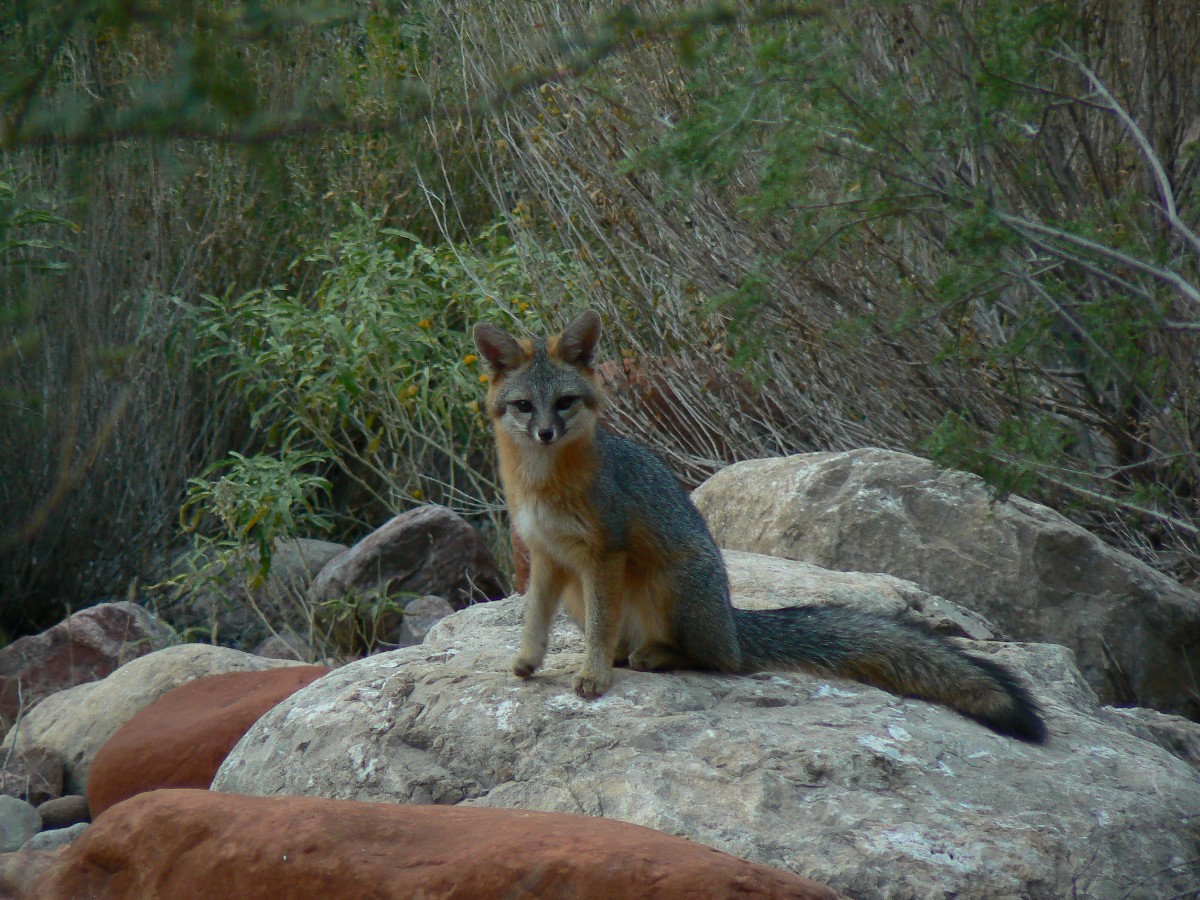
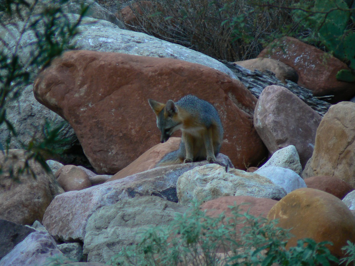
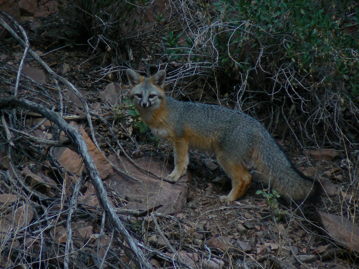
The prim chestnut and gray fox stands quietly in the brush near the bunk house (BH)
in BA, apparently waiting for rodents to move through the dry grass and leaves, thus revealing their location
for dinner. Stealthy. There's too little light for a good photo. Drat.
Earlier.... Steve Nelson, who arrives via train - and I meet a bit after 5 a.m.
and we head for The Canyon. The air is clear and The Canyon is as gorgeous as ever. Sadly, it's not as gorgeous
when obscured by smog from the nearby coal-fire generating plant, or smog from cities that should not be (e.g.,
Las Vegas).
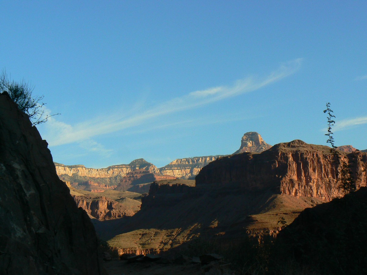
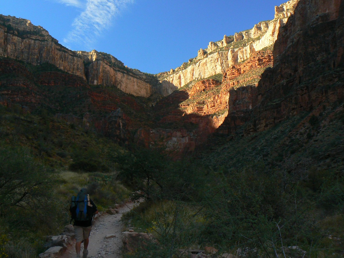
Down the South Kaibab Trail we hike, on our way to rendezvous with other volunteers
at the trail crew BH in the BA/Phantom Ranch area. Even without food and some equipment weight, my pack is 38
pounds - or so says the scale in the GC BIC (Grand Canyon; Backcountry Information Office).
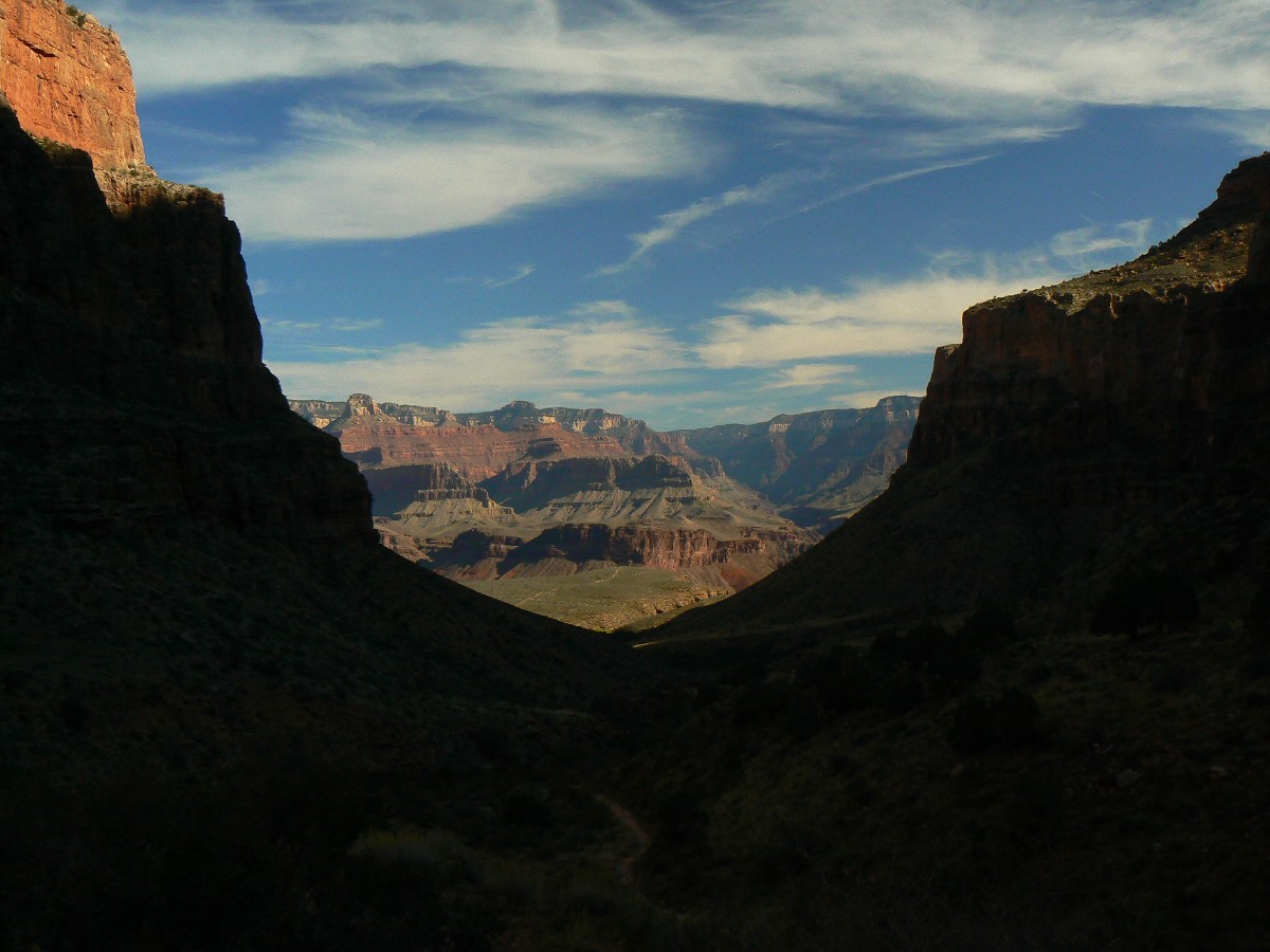
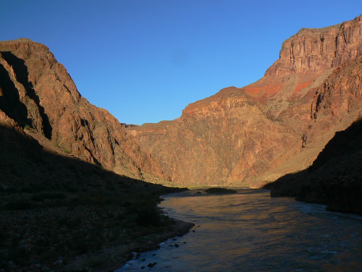
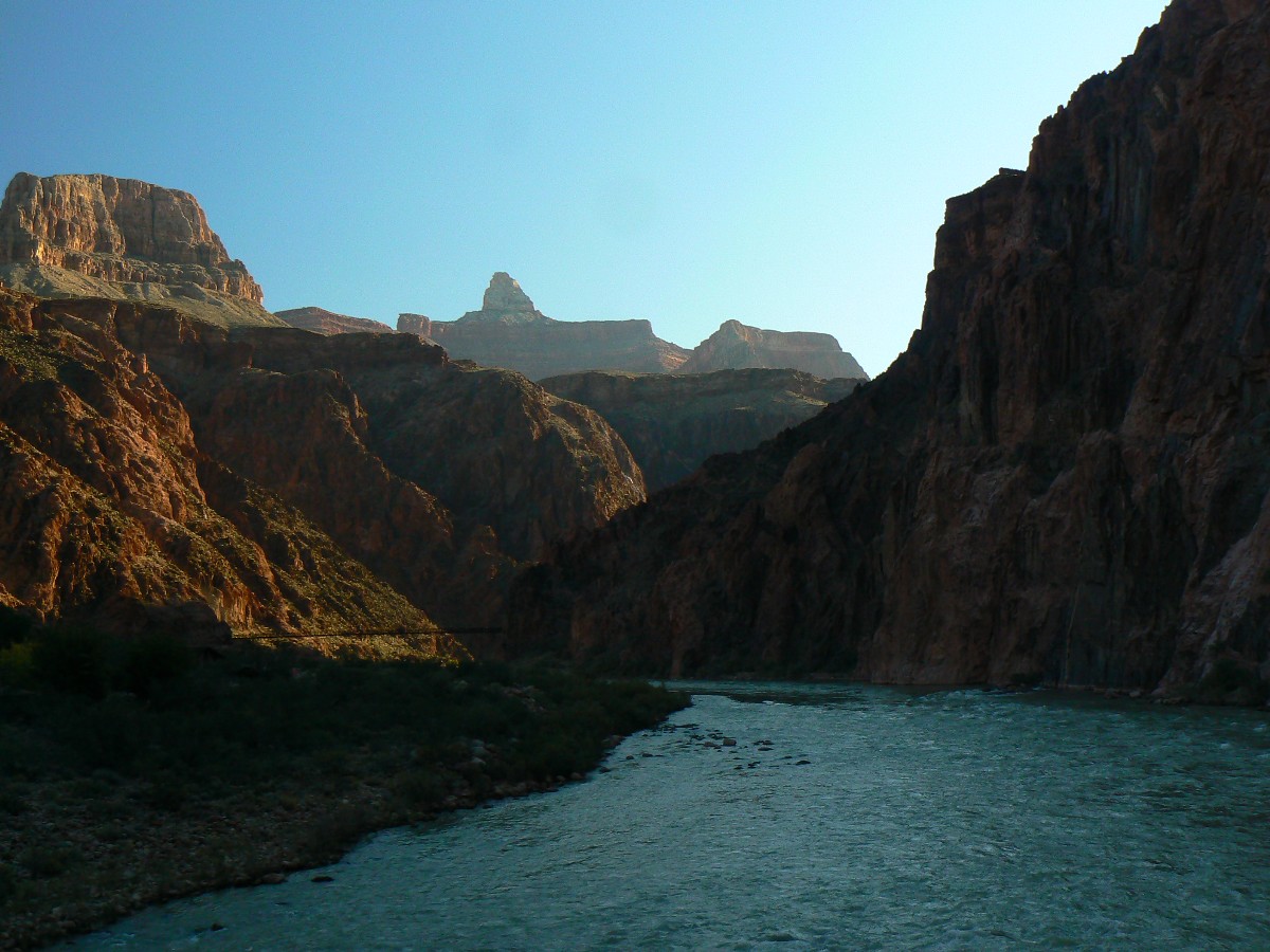
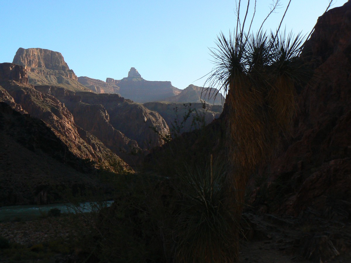
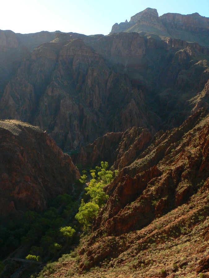
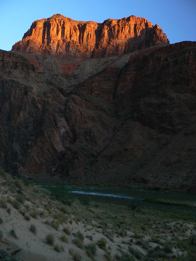
The River throbs and resonates below as we eat lunch in the shade of a muffin
rock at The Tipoff. The lush green sinuous swath alongside the North Kaibab Trail, and dotted with the roofs
of ranger house, et al., contrasts with the radiant red of basement rocks. Then, down into the realm of basement
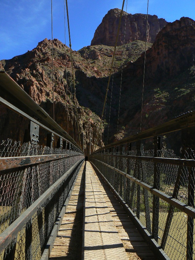
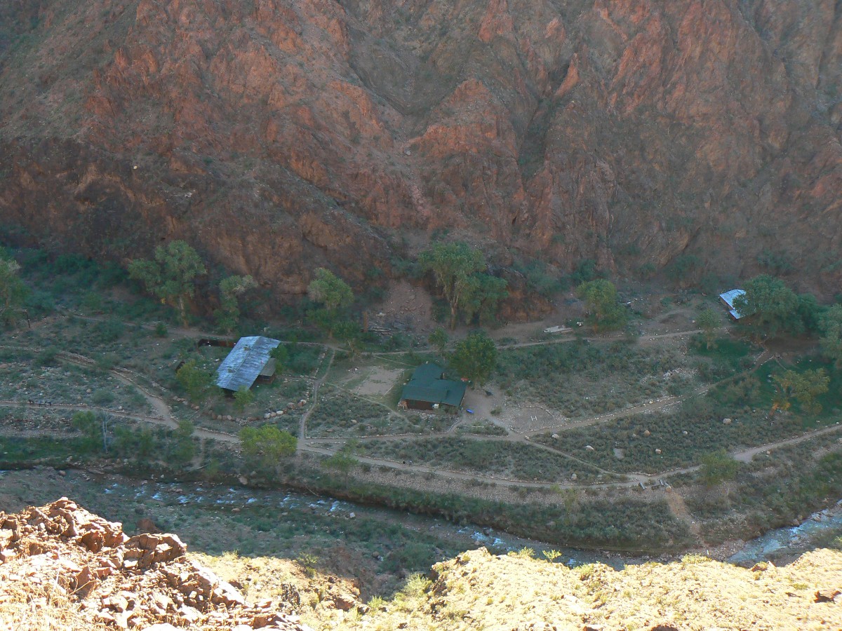
rocks, and then slither across the black bridge and into the community of the BA.
Several of us volunteers haul boxes and cooler bags of food from the corral storage
to the BH and sort veggies, eggs, and other delectables soon to be enjoyed.
Now, following a long day, I go off to the TarpTent (the BH is shared by biology
babes for the first few nights - so several of us volunteer to camp in the BA CG (camp ground) and enjoy the
peaceful burble of BA Creek and the billions and billions of stars preceding the moon.
 |
 |
 |
 |
 |
.jpg) |
 |
 |
 |
 |
 |
 |
| ||||
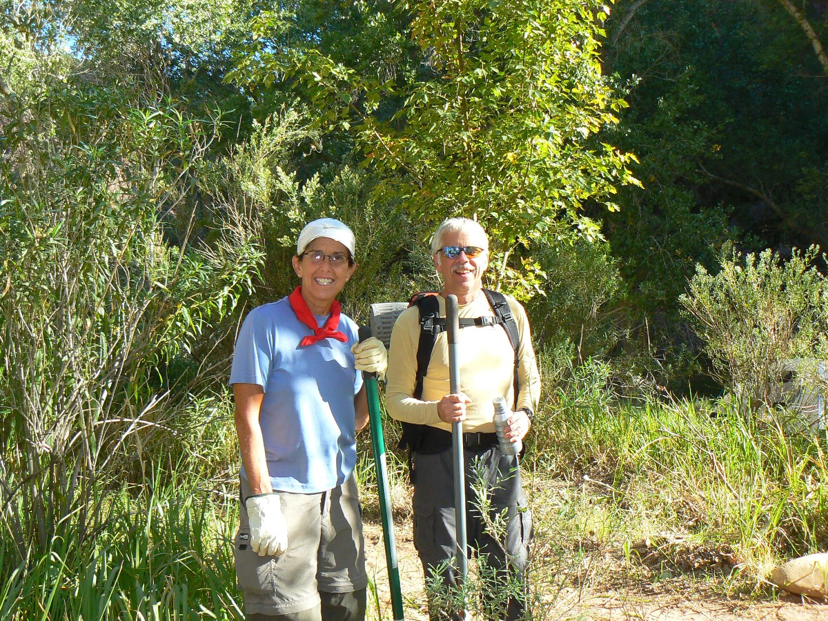
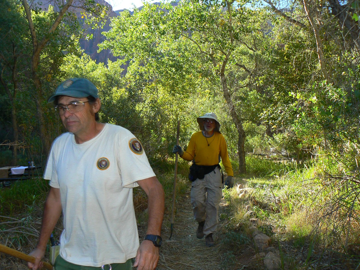
Day 2: Ho-Ho-Hoe Irrigation Insight.
"Snick-snick; grub-grub." We are cleaning the BA CG irrigation ditches of
grass, rocks, excess dirt, sticks, other stuff. The GCHBA team cleans all the camp ditches in time for an early
lunch break. Following clean-up and lunch, there's not enough time to test water our work, so this will wait
until tomorrow.
"How come an irrigation system in the park?" you might ask. Well, without
the system, there would be limited trees to provide shade in BA CG. I believe Sjors is largely responsible
for developing and keeping the irrigation system operational. The huge Cottonwoods are being phased out in
preference for Ash, which have a lower tendency to drop massive limbs on camper's heads. The irrigation
system helps the trees get established and to thrive.
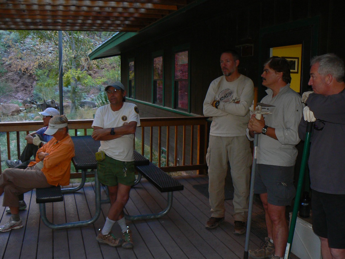
Chris and Doug make an appearance before heading back to the rim to talk
with Park management about hiker issues. We grubbers say our thanks for the organization and get back to
the ho-ho-hoe of it all.
During a cookie break, Lynn tells how a beyond inquisitive
Ringtail Cat woke him last night by hanging on the screen of the BH porch and demanding to come in for a snack.
Insistent rascal.
The iridium flare is bright albeit brief as the cosmos fills with stars,
planets, constellations, meteors, and passing planes. The Iridium satellites (Iridium LLC Corporation) are
relatively small telecommunications satellites in a low Earth orbit that reflect sunlight if their solar panels
align properly to your viewpoint. Of course, the cascade of money from corporations is always reflected into
the coffers of lobbyists and congressional uptakers who will endeavor to keep funding of national parks and
forests at far less than what is needed to provide the most basic of maintenance. Cascade up, cascade up.
 |
 |
 |
 |
 |
 |
 |
 |
 |
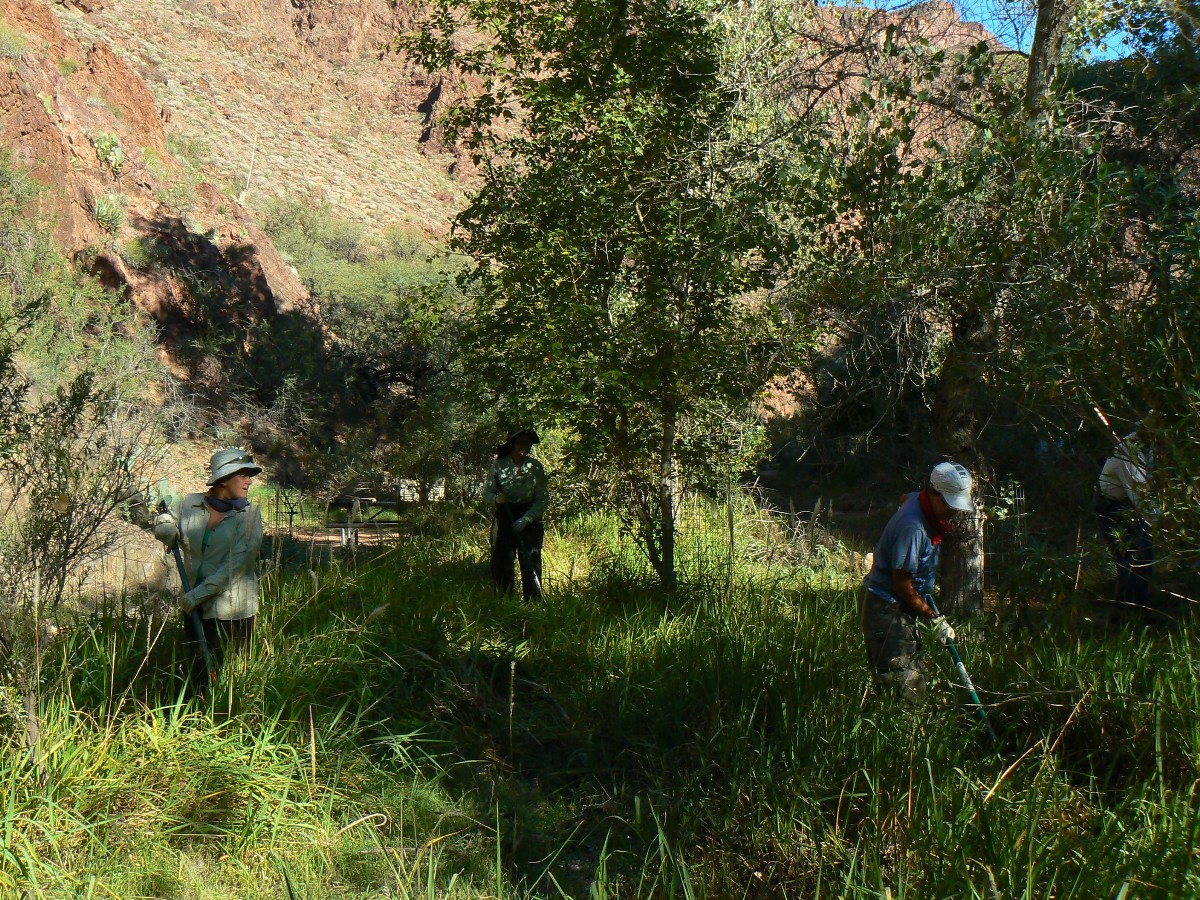
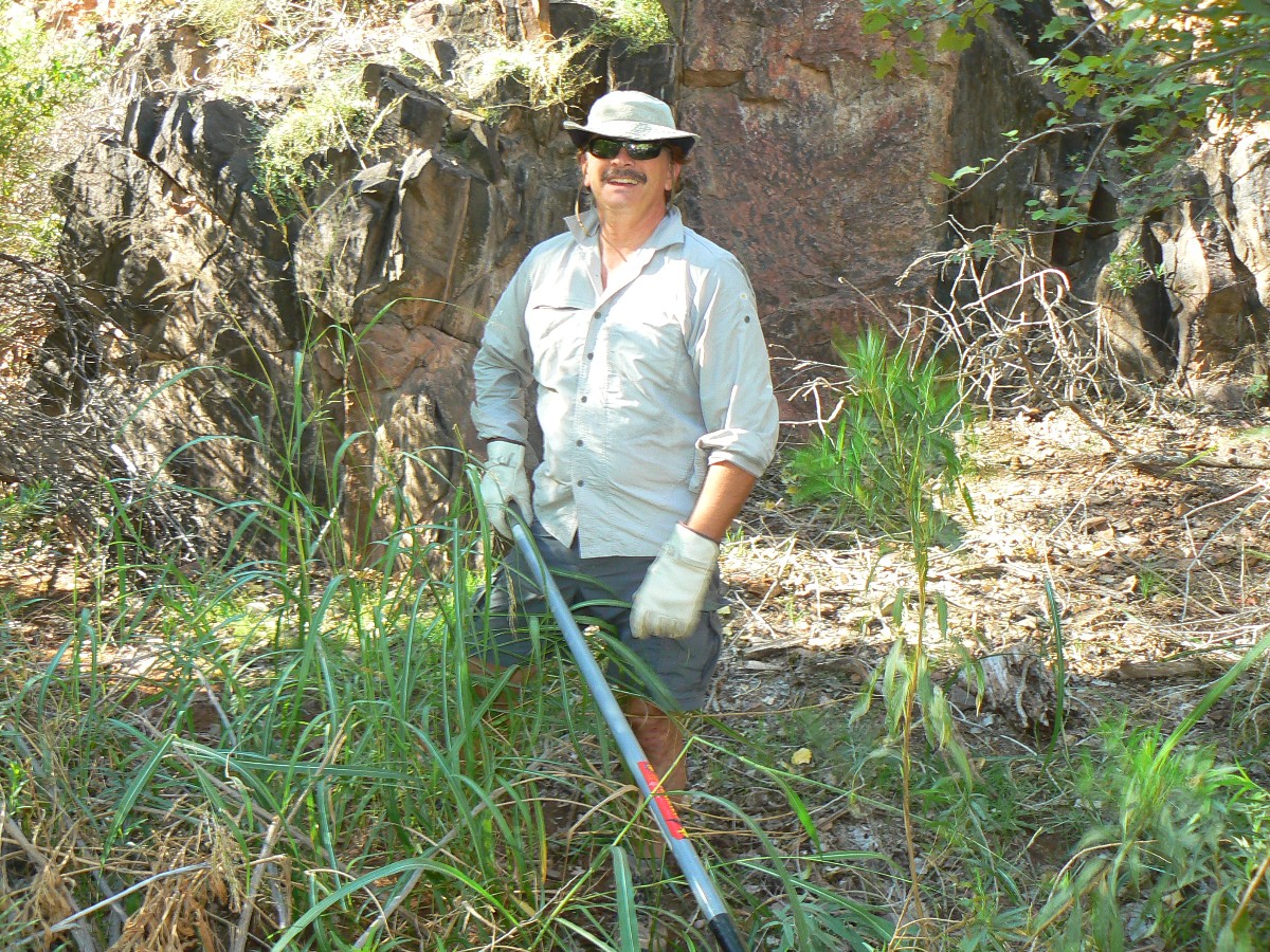
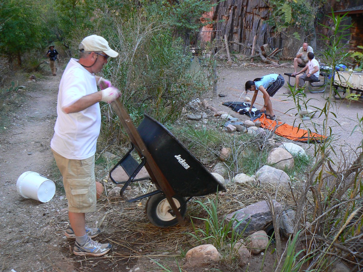
Day 3: Go with the flow
"Hustle!" urges Sjors the permanent BA volunteer, as we ditch riders precede
and follow the flow - the virgin run of the newly restored irrigation system. "Move quickly or obstructions
will cause #9 to flood!" Hoes and hands in action, Randy, Mike, Tim, Sjors, Kathy, Becky and I work the channels
removing grass, leaves, mud, a few items of trash. Because of good work yesterday, it's a trouble-free task.
Later, Janie, Becky, Wendy, and I finish applying linseed oil to the ranger house
fence, while Tim, Randy, Mason, and Melvin remove hiker-created dams and fallen trees from BA Creek, and Steve
and Wendy lop Mesquite and other trees in the CG.
Kristen, red-headed trail crew member, heads out to the boater beach and her next
assignment. The botany babes have hiked back to the rim. For awhile, the BH and CG are nearly vacant and a peaceful
aura descends.
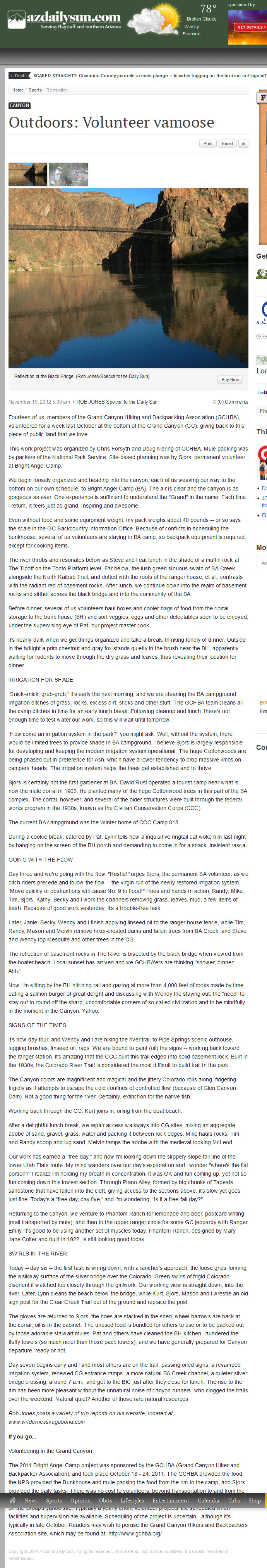
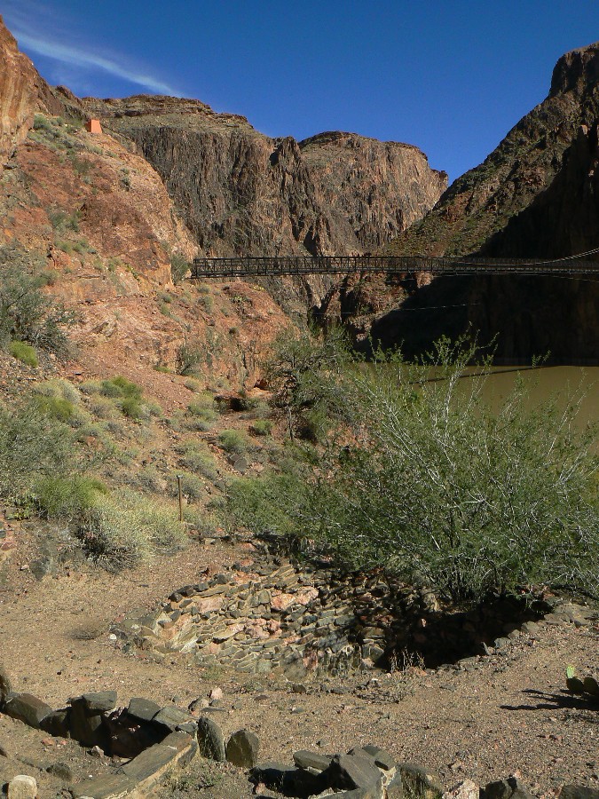
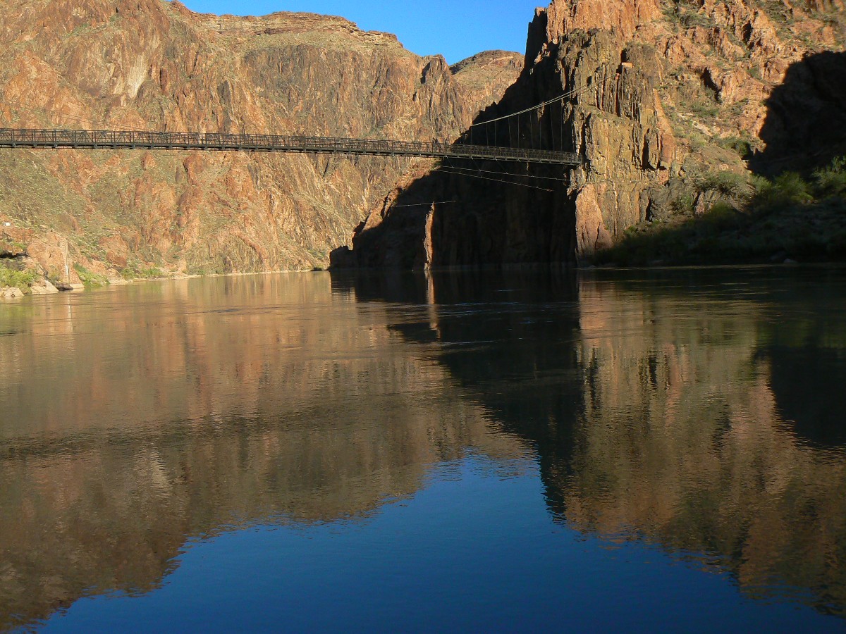
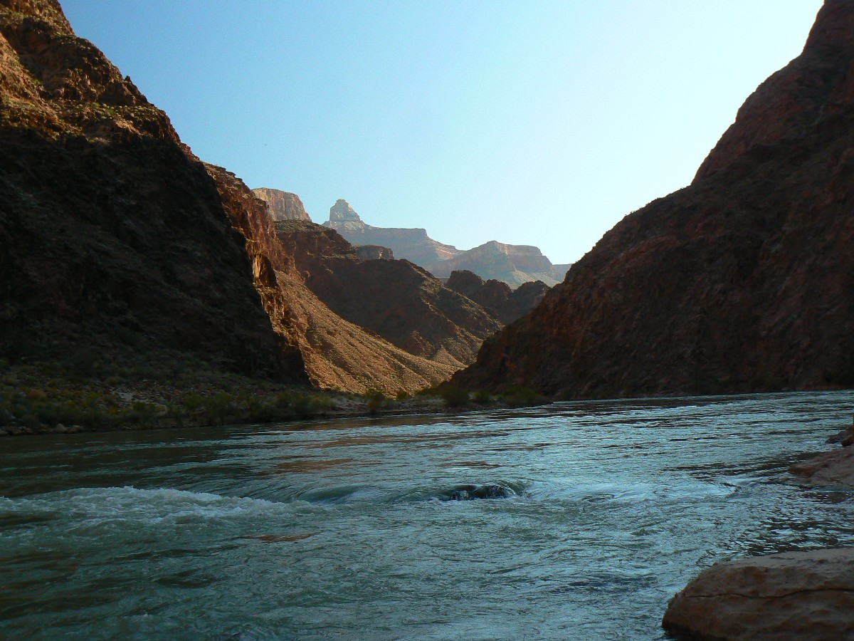
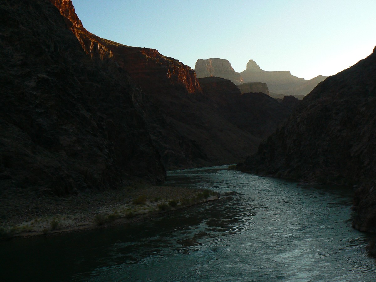
The reflection of basement rocks in The River is bisected by the black bridge when
viewed from the boater beach. Local sunset has arrived and we GCHBA'ers are thinking "shower; dinner; Ahh."
Now, I'm sitting by the BH hitching rail and gazing at rocks made by time, eating
a salmon burger of great delight, and discussing with Wendy the staying out, the 'need' to stay out to round off
the sharp, uncomfortable corners of so-called civilization and to be mindfully in the moment in The Canyon. Yahoo.
 |
 |
 |
 |
 |
 |
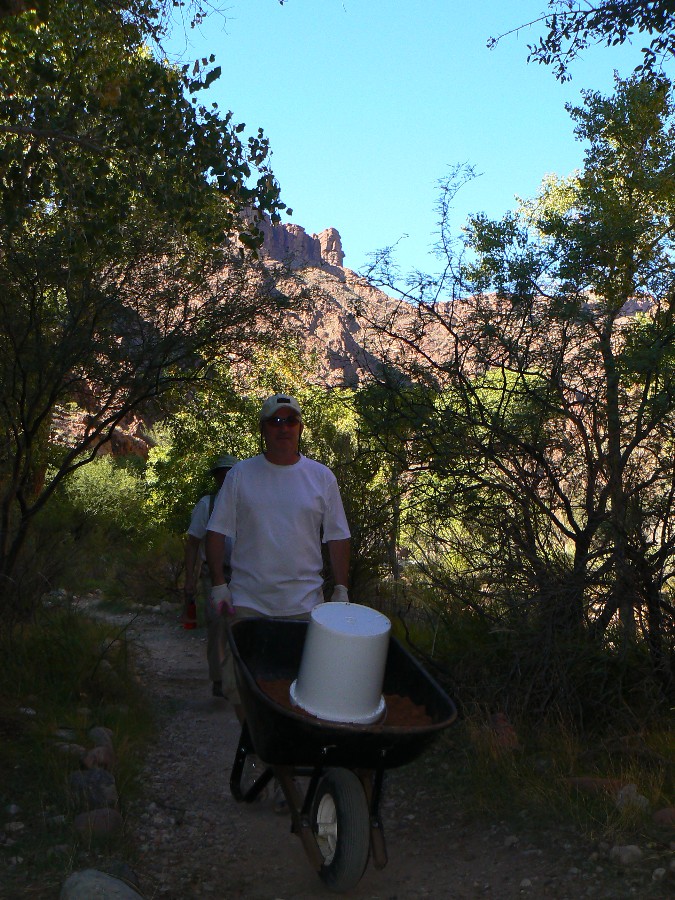
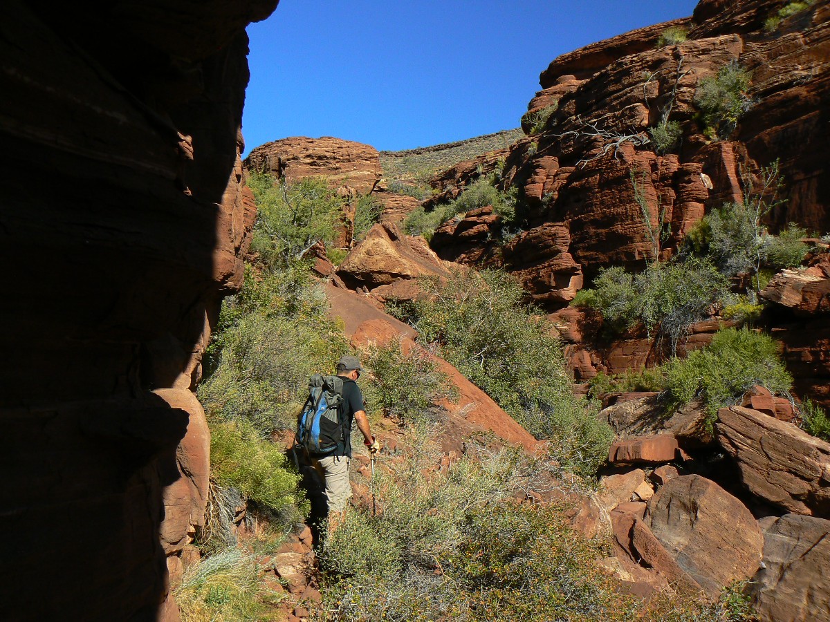
Day 4: Pipe Dreams
Wendy and I are hiking the river trail to Pipe Springs scenic outhouse,
lugging brushes, linseed oil, rags. We are bound to paint (oil) the signs - working back toward the ranger station.
The Canyon colors are magnificent and magical and the jittery Colorado roils
along, fidgeting frigidly as it attempts to escape the cold confines of damnation. Cold, with flow controlled.
Not a good thing for The River. Certainly, extinction for the native fish.
Working back through the CG, Kurt joins in, oiling from the boat beach.
After a delightful lunch break, we repair access walkways into CG sites, mixing
a Caucasian aggregate adobe of sand, gravel, grass, water and packing it between rock edges. Mike hauls rocks,
Tim and Randy scoop and lug sand, Melvin tamps the adobe with the medieval-looking McLeod (The McLeod has a
large hoe like blade on one side and tined blade on the other and is a forest fire tool common in America's
western mountain ranges).
Fairly tired, I move my camp into the BH (feeling the need to try it because
this may be the only chance to do so) and go out looking for the fox. I get interested in the mules and briefly
forget about the fox. The fox slinks behind me and I get a low light photo.
A terrific baked chicken and quinoa dinner is followed by Irish songs by melodic Wendy.
 |
 |
 |
 |
 |
 |
 |
 |
 |
 |
 |
 |
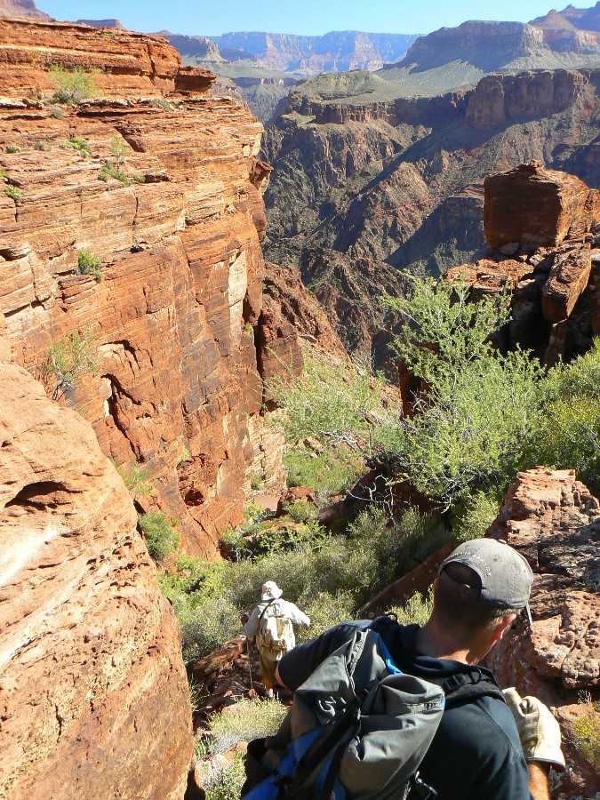
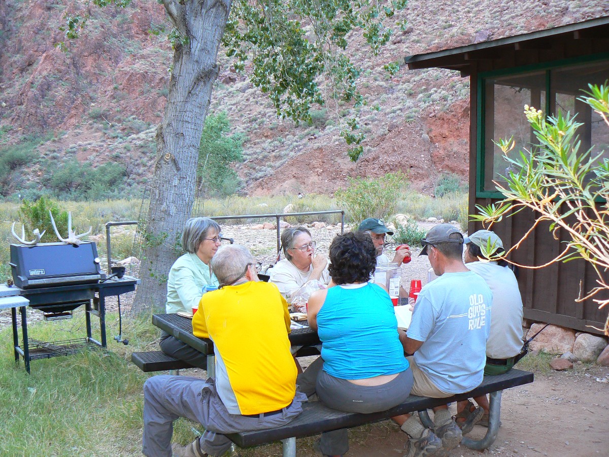
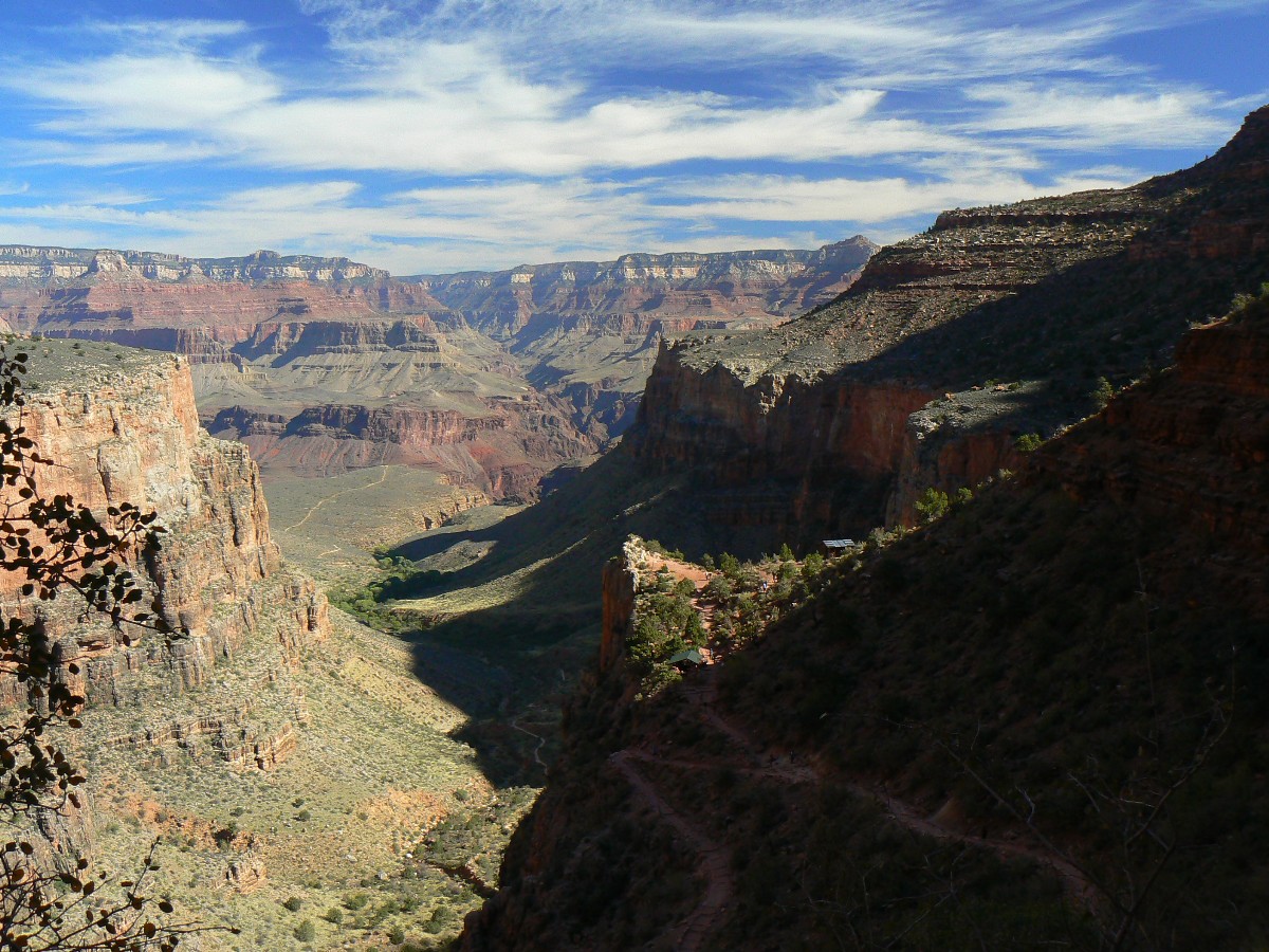
Day 5: Utah Flatulence About 6 miles or more.
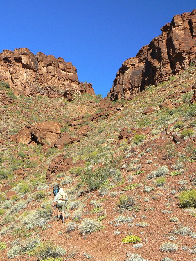
Looking down the slippery slope fall line of the lower Utah Flats route,
my mind wanders over our day's exploration and I wonder "where's the flat portion?" I realize I'm holding
my breath in concentration. It was OK and fun coming up, yet not so fun coming down this lowest section.
Through Piano Alley (formed by big chunks of Tapeats SS (sandstone) that have fallen into the cleft giving
access to the sections above the Tapeats layer, it's slow yet goes just fine. Today's a 'free day,' and I'm
wondering - "is it a free-fall day?"
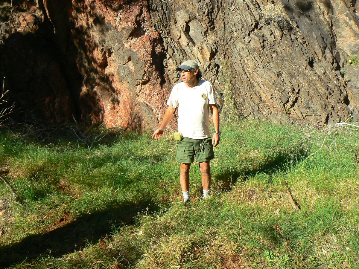
Kurt, Lynn, Steve, and I hike up through Piano Alley and around the red rock
bowl and over the first two or three rises to an overview of Phantom Canyon. Because we started late, there's
not enough time to get to the creek. Yet, we do find a lithic circle - chips and chunks knocked off the parent
rock, apparently while making arrow points or scrapers, or such. A Redtail Hawk circles low and two Ravens appear
to keep a close watch on our progress.
Returning to the BH, we venture to Phantom Ranch for lemonade and beer, postcard
writing (mail transported by mule), and then to the upper ranger circle for some GC jeopardy with Ranger Emily.
I get a couple of questions correct, and win a Condor tatoo, which I intend to apply to Kathleen's loveliness.
Today, Tim, Randy, Janie, Becky, and Mason hike to Ribbon Falls, while Melvin
observes birds, and Wendy enjoys some River Time.
 |
 |
 |
 |
 |
 |
 |
 |
 |
 |
 |
 |
| ||||
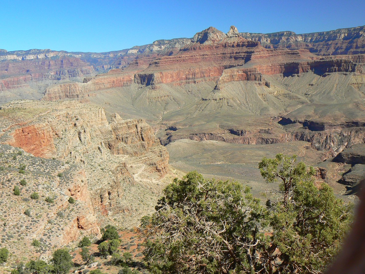
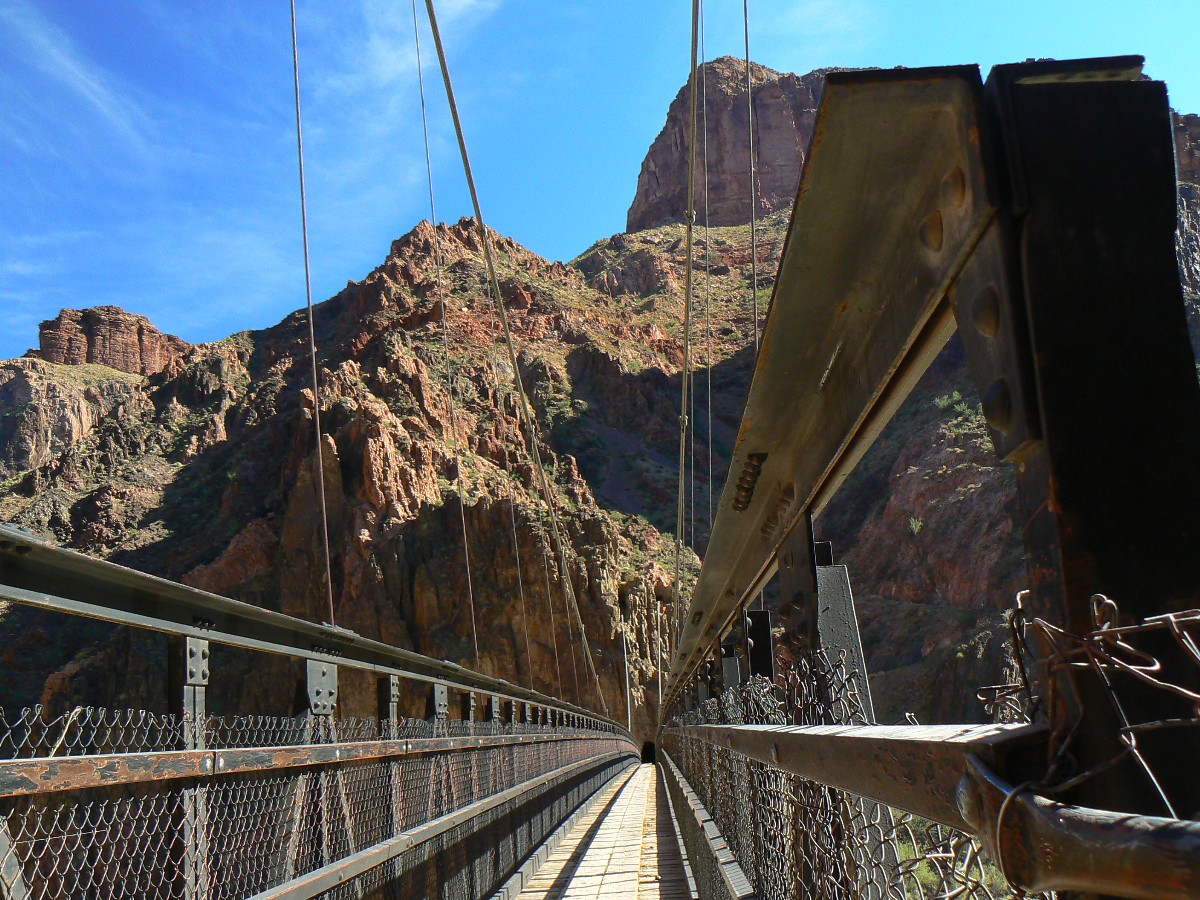
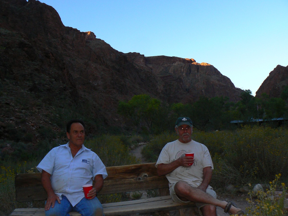
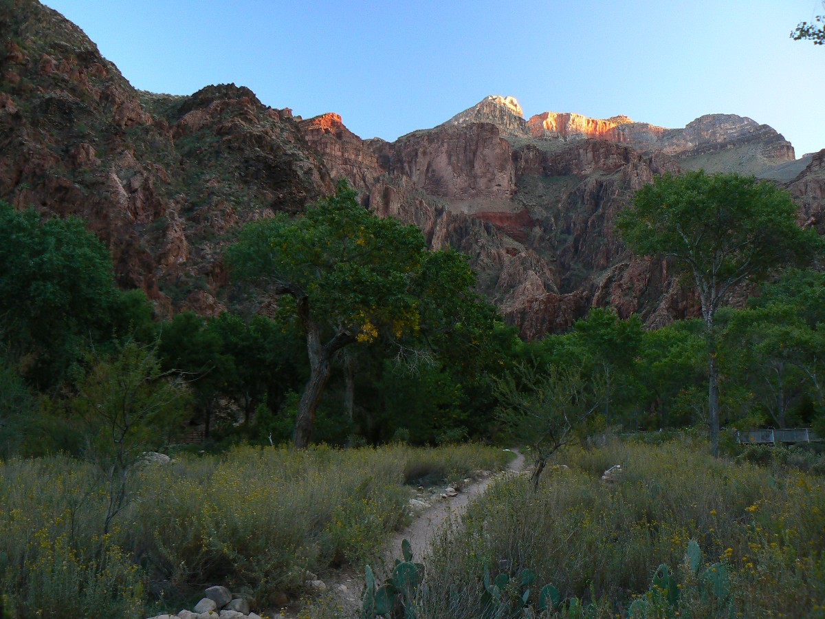
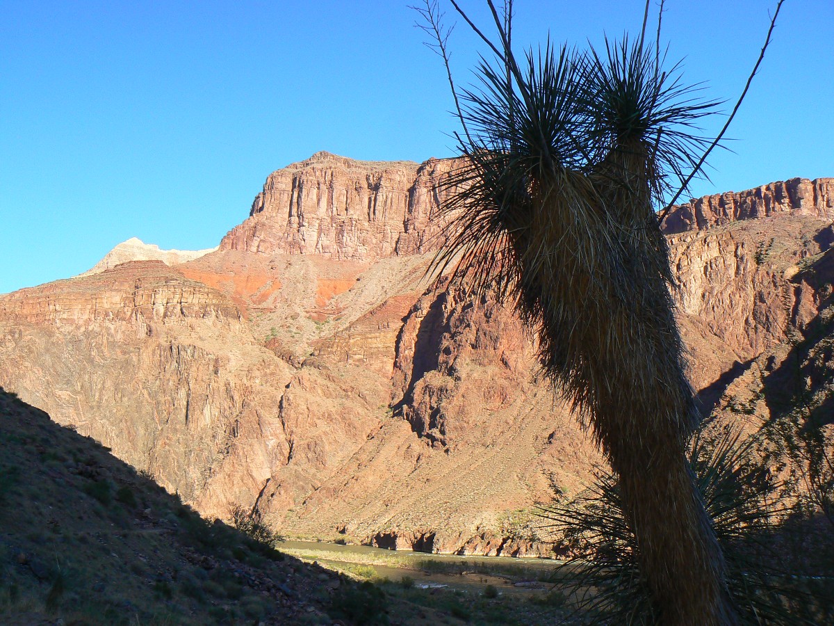
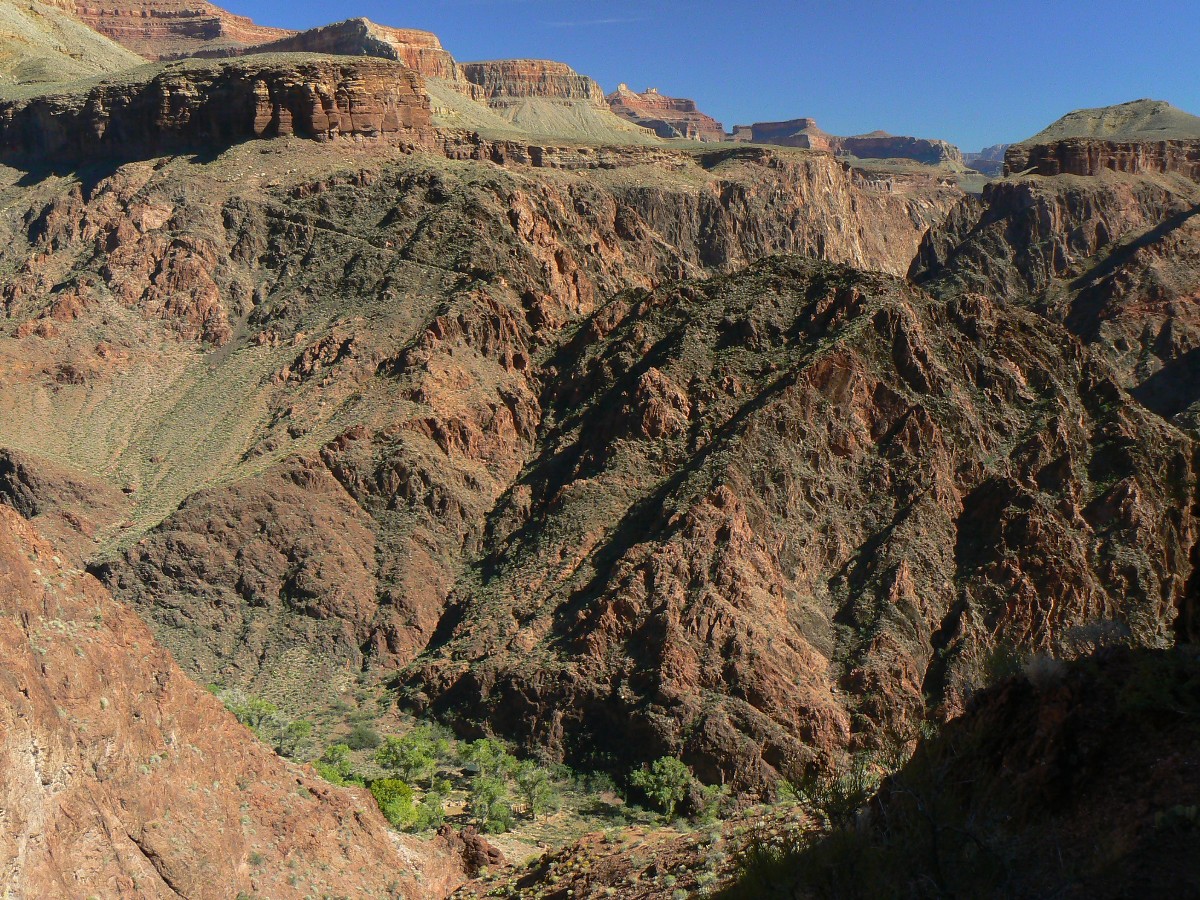
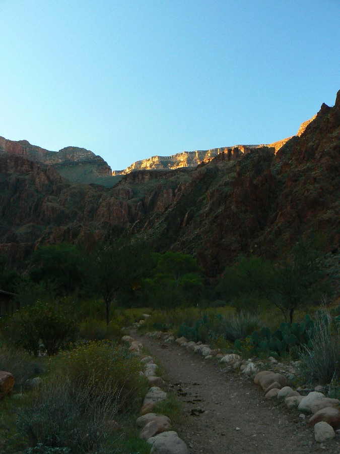
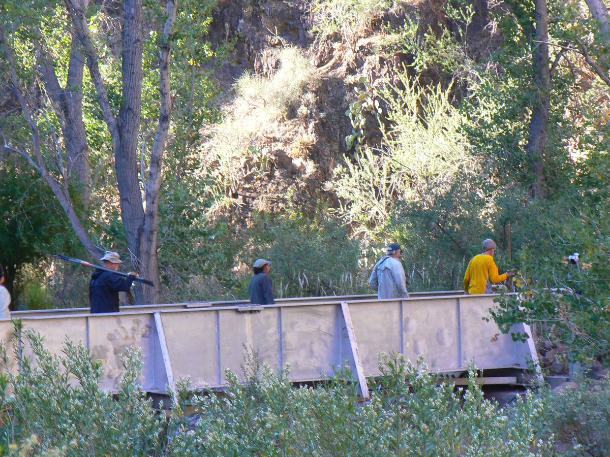
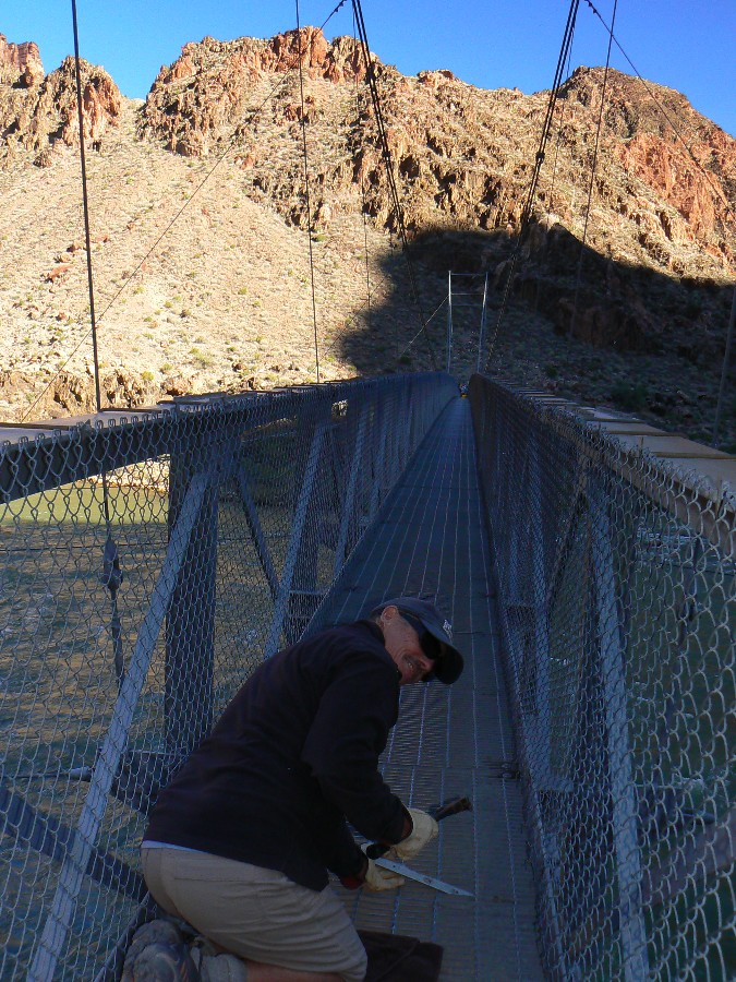
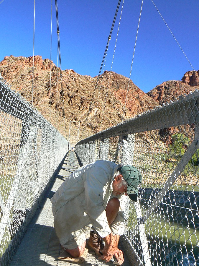
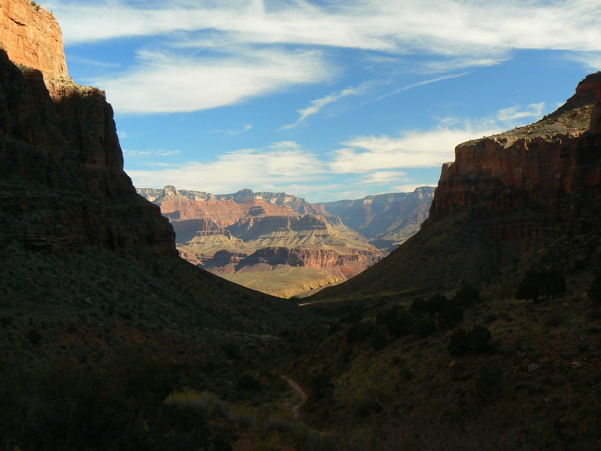
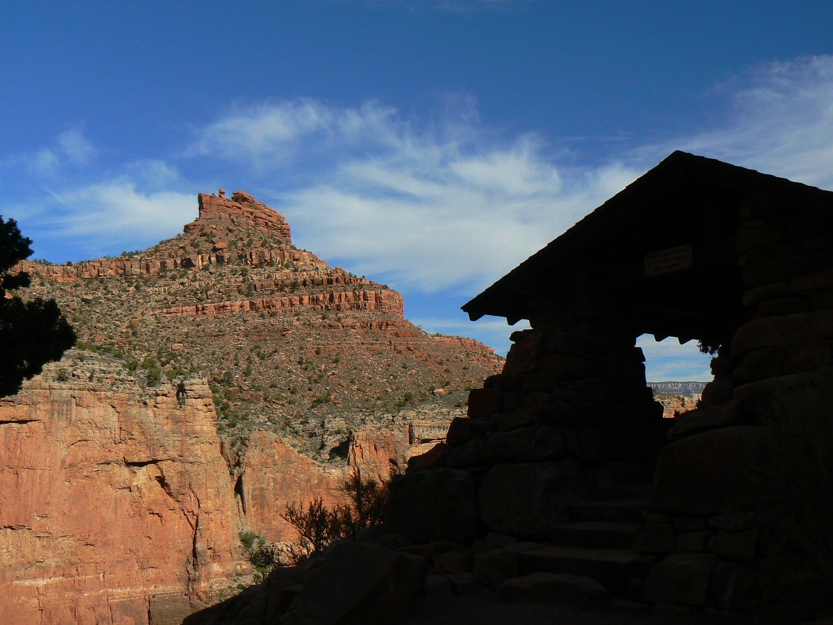
Day 6: Bridging Seasons
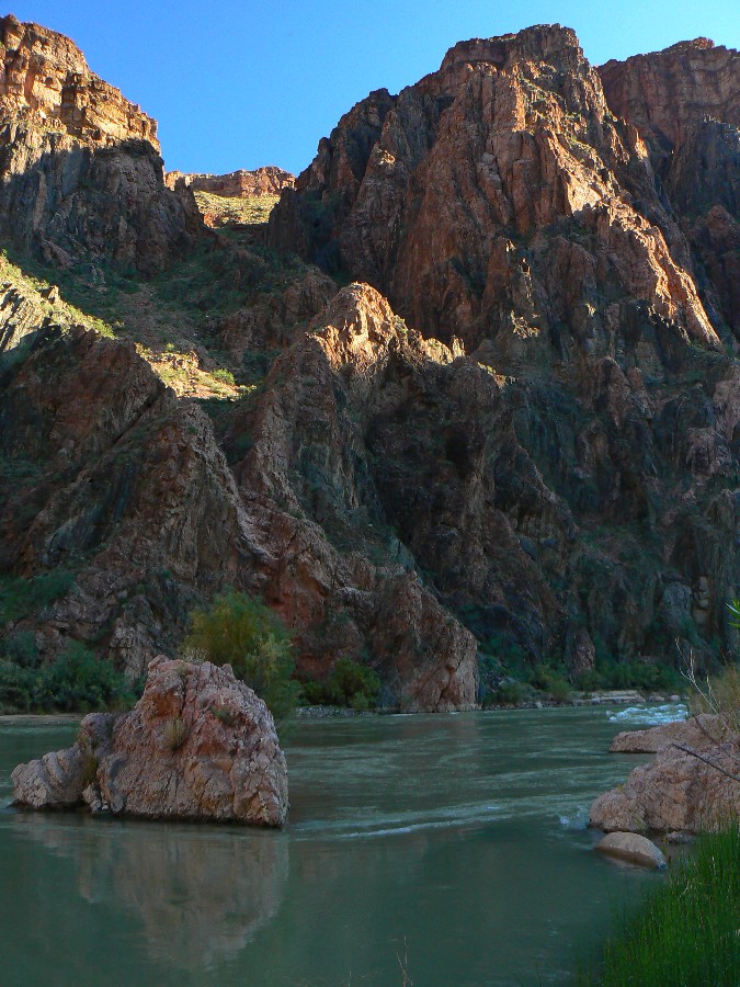
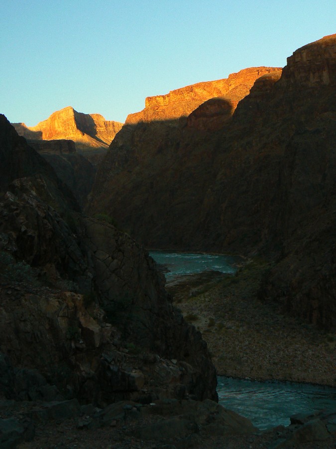
It's approaching sunset, certainly, we are well into local sunset in the
enveloping natural folds of this, The Canyon, and I'm looking up through rocks made by time, up through the
variegated pink Zoroaster Granite and black Vishnu Schist basement rocks to the cliff-forming, Tonto Platform
supporting Tapeats SS, the slope of Bright Angel Shale and Muav Limestone, the starkness of Redwall loftiness,
the Supai, the caucasian tree-fringed Coconino SS, blurred into creamy Toroweap, topped by the Kaibab, a canyon
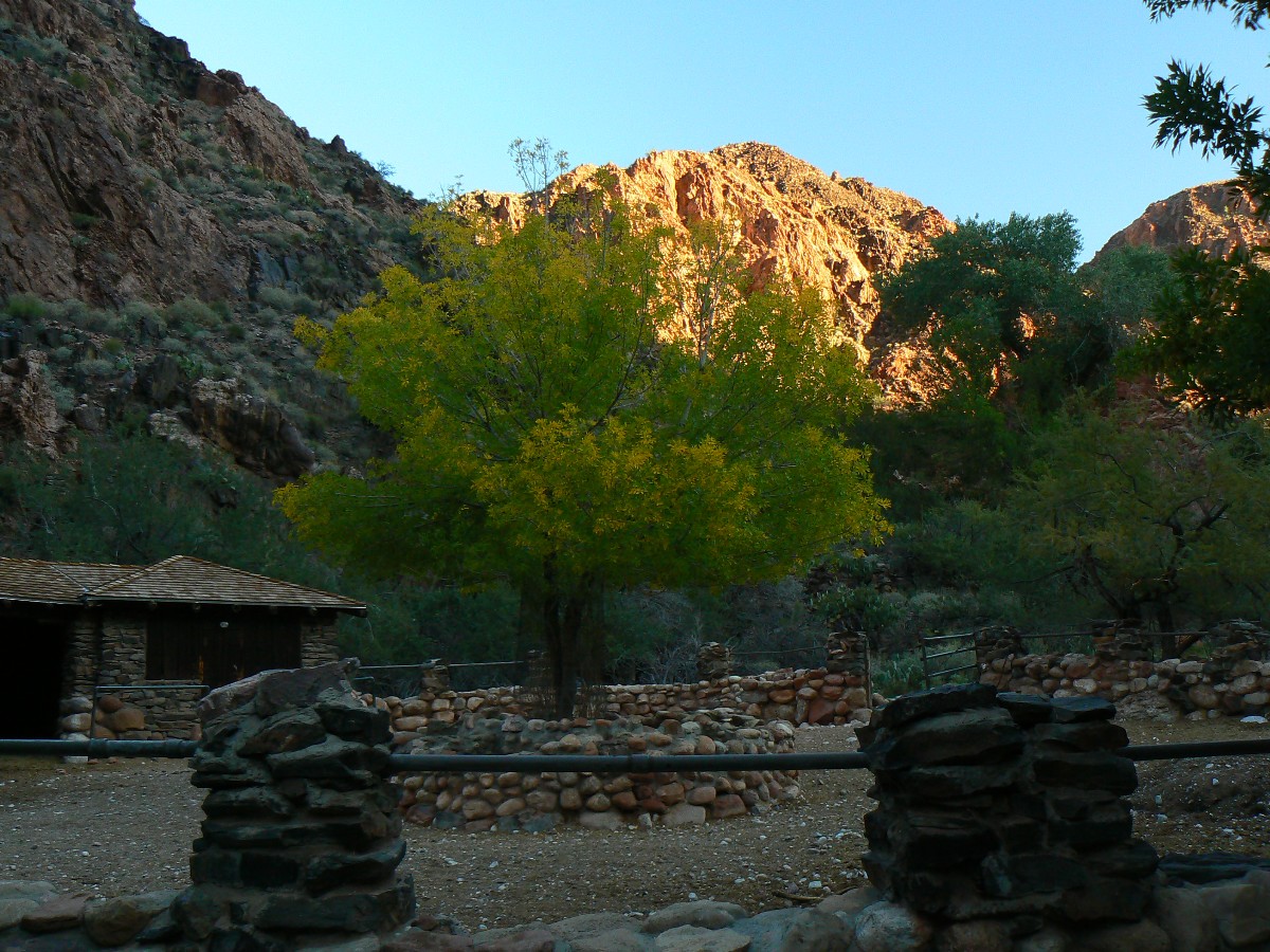
wall worth repetitive gazing and admiration. A touch of Fall yellow fringe adorns the Cottonwood tree below the BH.
Now, Redwall glows a rubiginous sheen, as low angle light tenderly touches upper Canyon regions.
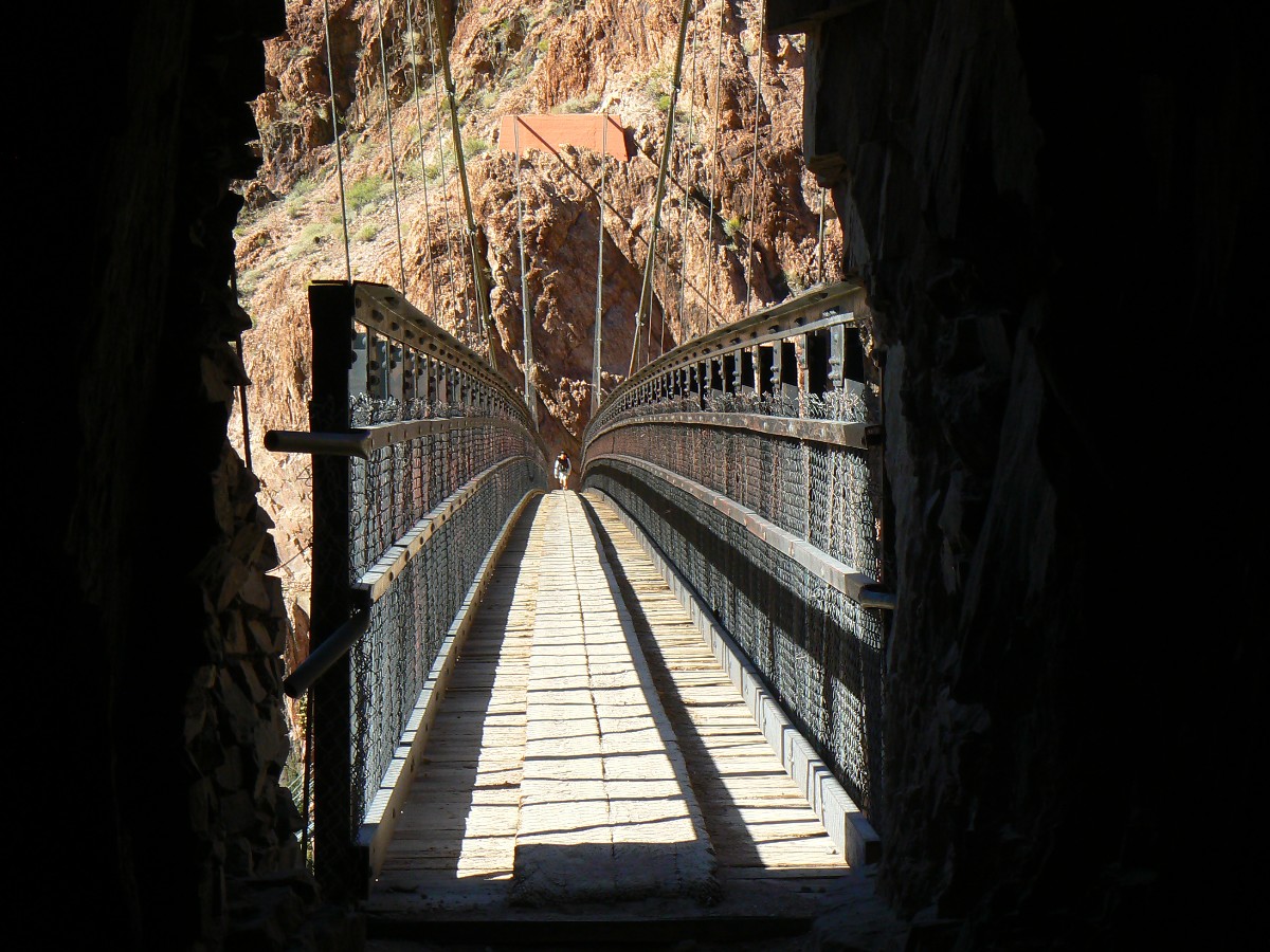
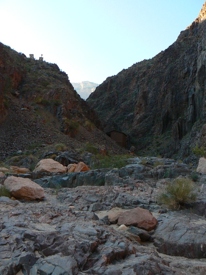
Today, the first task is wiring down, with a rancher's approach, the lose grids
forming the walkway surface of the silver bridge over the Colorado. Green swirls of frigid Colorado disorient if
watched too closely through the grillwork. Our working view is straight down, into The River. Later, Lynn cleans
the beach below the bridge, while Kurt, Sjors, Mason, and I wrestle an old sign post for the Clear Creek Trail out
of the ground and replace the post.
Swilling mango margaritas, I see the silver apparition fox glide through brush,
pausing to listen. For what? K-rat early risers? Other crepuscular rodents? I slop along after the fox, again
attempting to procure a photo.
Some volunteers (Randy, Tim, Steve) leave this morning for the rim, and I've acquired
some forgotten gear - a haul rope here, a t-shirt there, etc. and my pack will weigh more going out than when I hiked
into The Canyon. Leave The Canyon? Yikes, yes, yet soon a return, I hope.
The gloves are returned to Sjors, the hoes are stacked in the shed, wheel barrows are
back at the corral, oil is in the cabinet. The unused food is bundled for others to use or to be packed out by those
adorable stalwart mules. The group has cleaned the area, and we have generally prepared for Canyon departure, ready or not.
The mnemonic goes like this (read down, use first letter of starting word as a reminder - from the rim, down):
Know - Kaibab Limestone
The - Toroweap Formation
Canyon's - Coconino SS
History - Hermit Shale
Study - Supai Group (including the Esplanade)
Rocks - Redwall Limestone
Made - Mauv Limestone
By - Bright Angel Shale
Time - Tapeats SS
Know The Canyon's History, Study Rocks Made By Time.
 |
 |
 |
 post removal.jpg) wGCHBA-day6-4 Mason Sjors, Kurt (Janie supervises) post removal.jpg |
 |
 |
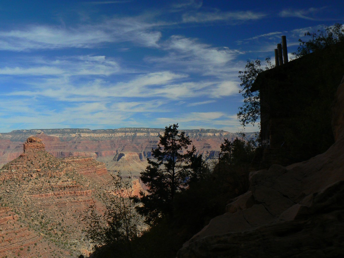
Day 7: Out of It
BA Trail to Rim, about 9.5 miles (5 hours).
I'm circling the BA corkscrew in the quiet time of day, passing Monkey Flowers hanging
from weeping walls and admiring the changing glow on The Canyon layers. Briefly in the sun where Garden Creek
plummets into the abyss, Kurt rolls past in a blur. I was doing OK, I muse, yet this youngster zips past and
rapidly disappears around the bend. After six decades, am I out of it? No, just hiking out of It, The Canyon.
The day begins early and I and most others are on the trail, passing oiled signs,
revamped irrigation system, renewed CG entrance ramps, a more natural BA Creek channel, a quieter silver bridge
crossing, around 7 a.m., and get to the BIC just after they close for lunch. The rise to the rim has been more
pleasant without the unnatural noise of canyon runners, who clogged the trails over the weekend. Natural quiet?
Another of those rare natural resources (soundscape, natural quiet) controlled by the wealthy elite and corporations.
Might the new overflight rules place the noise over the corridor trails, where all commercial activities can
collectively enjoy one of the downsides of their commercialization? Not likely, the noise will remain, and grow
exponentially over wild, primitive, and threshold zones, leaving the crowded corridors the (relatively) quietest
parts of The Canyon. Of course, it's another version of the golden rule - those with the gold, rule. Another
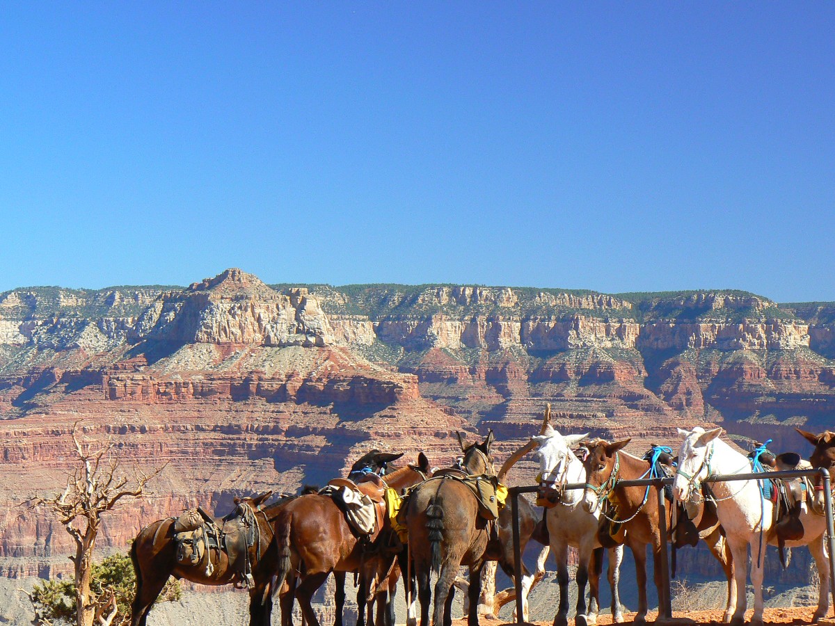
Canyon use issue has enjoyed a more reasonable solution. That is, the tremendous mule impact on the trails.
The day route to Plateau Point has been discontinued, and traded for rides on the rim to overlooks of The Canyon.
Sadly, the recently gloriously rebuilt South Kaibab Trail is now experiencing some decimation from mule use.
The mule use would not be such an issue if there were sufficient funding for the park. Do mules belong in The
Canyon? Certainly. Do overflights? No, not unless restricted to the area above the corridor trails.
Now, I'm looking for Kurt - to hand off Chris' haul rope I hauled out of The
Canyon, and for Steve - who has left food for a follow-up backpack and other stuff in my vehicle. Then, when
the trip ends, it ends fast. I'm out of the park and on my way home in time to enjoy a late snack, still thinking
and feeling Canyon Time.
 |
 |
 |
 |
 |
 |
 |
 |
 |
 |
 |
 |
 |
 |
 |
Links:
| ||||
Panos:
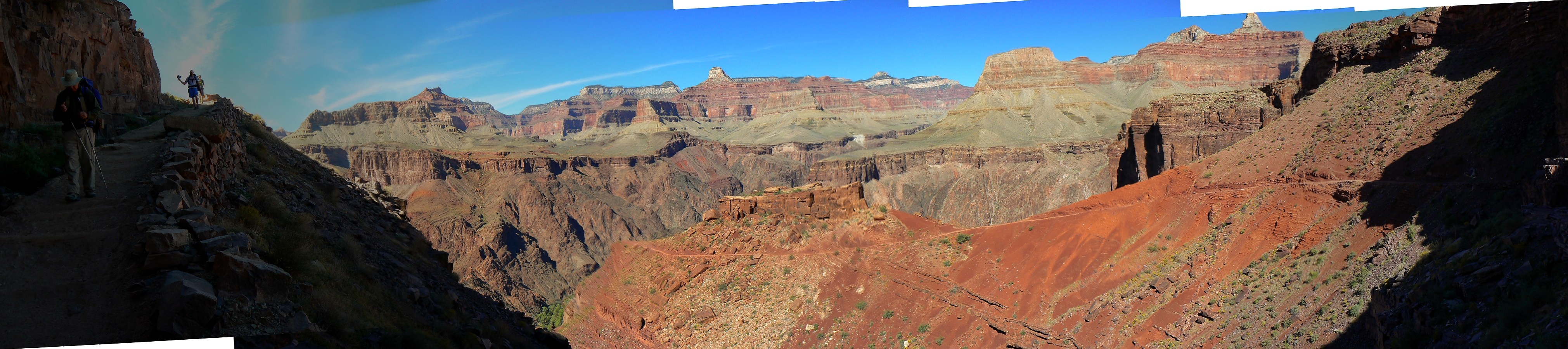
pano from the South Kaibab Trail, below the Tipoff (4042 x 900 pixels, 980kb)
pano of Utah Flats (5376 x 900 pixels, 1.7mb)
Other WV reports about the Grand Canyon:
Click here or on the Looking Lizard to go to all WV reports about The Grand Canyon
| ||||
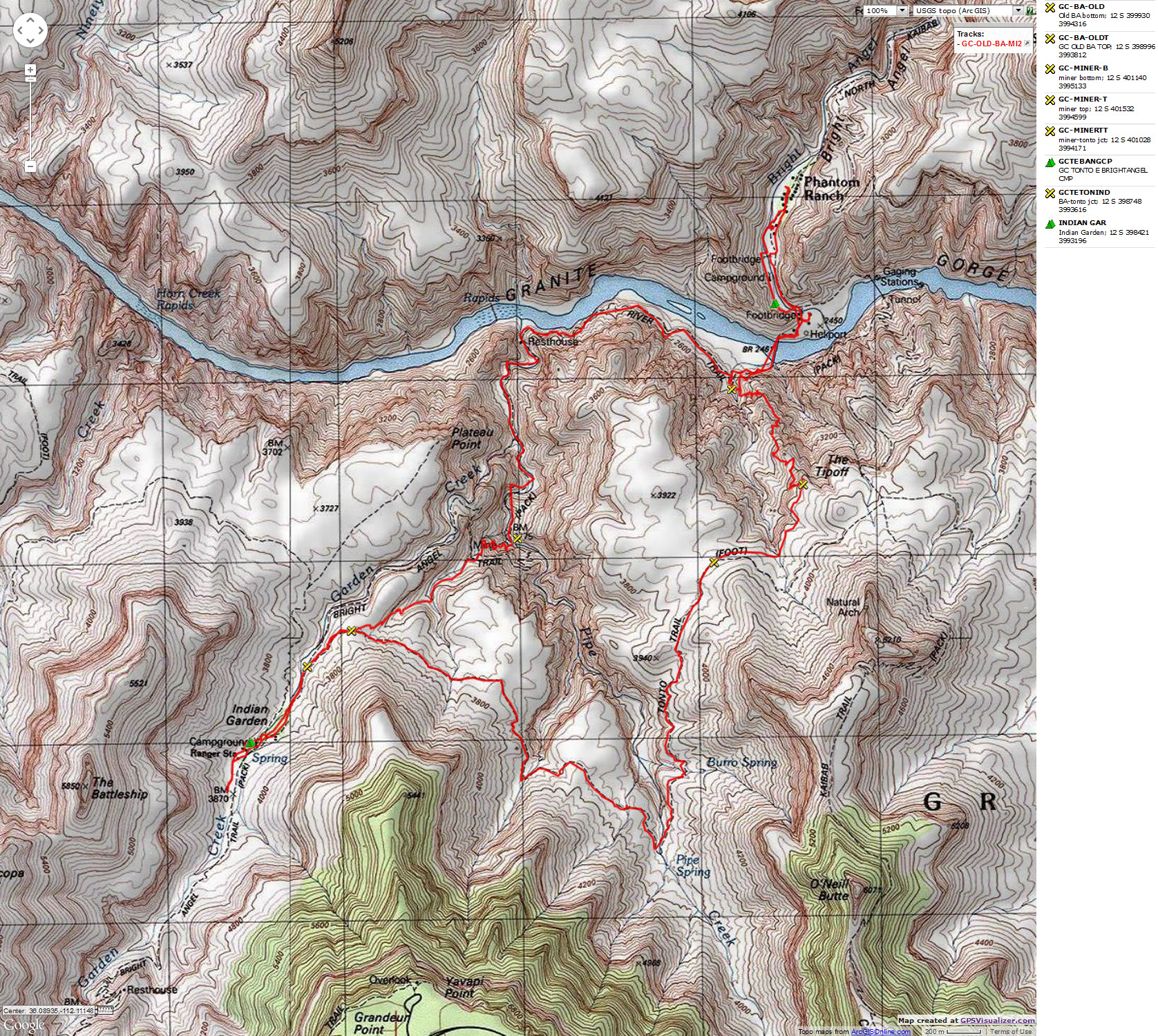
Maps:
|
| ||||||
Related Links:
the geology of the Grand Canyon by the NPS
the geology of the Grand Canyon by Bob Ribokas
More Truth Than Joke:
| ||||
| ||||
| ||||
| ||||
| ||||
|
Wild Vagabond Main |
Trip Report Index  |
Caveat  |
|---|