Rounding Out 769 Volunteer Hours for 2019 in The Canyon with the Venerable NPS /
Ditching Winter at the Bottom of The Canyon
(November 4th to 10th, 2019 )
Text © copyright by Rob; and Photos © copyright by Rob Jones

|
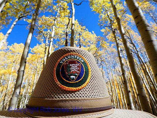
VIP Winter Rounder at Phantom Ranch:
Rounding Out 769 Volunteer Hours for 2019 in The Canyon with the Venerable NPS / Ditching Winter at the Bottom of The Canyon (November 4th to 10th, 2019 ) Text © copyright by Rob; and Photos © copyright by Rob Jones |
|
Co-Adventurer VIPs: Jennifer H., India H., Rob J., Heather W., Tim W., and Jeremy W.
NPS Rangers: Debbie B., Casey M., Todd N., and Elyssa S.
Permanent Volunteer in The Canyon: Sjors
This volunteer service project was supported by the NPS people who put the "Service!" in NPS. Thanks for your stewardship of our precious public lands.
camera: Panasonic DMC-ZS60
Note: the opinions in this report are not necessarily those of the NPS or my fellow VIPs.
| ||||
|
| |||||
|
| |||||
|
| |||||
|
| |||||
|
| |||||
| ||||
ERM = Energy Required Miles. A mile is added for
every 500' elevation gain or
loss. It's a very serviceable method of estimating energy required miles. ERM was initially used in Trails
of the Tetons (long out of print) by Paul Petzold, founder of NOLS. It's a wonderfully useful concept and
application. Add one mile for each 500' up AND down to distance = ERM. I use ERMs to calculate what the actual
day is like. It's a very serviceable method of estimating energy required miles. Remember, however, that the
ERMs are estimates because they depend on GPS satellite coverage and math functions.
Overview: This report is about the third of three
VIP (Volunteer In Park) volunteer service projects to provide stewardship assistance to Grand Canyon
National Park (NPS, National Park Service) during 2019. The current project is in the Inner Canyon. We
stayed at the Indian Garden bunkhouse and tent camped in the Bright Angel (Phantom Ranch area)
Campground while on this tour. During this VIP adventure, we 6 VIPs invested over 170 hours of
volunteer time in service to our public lands and the NPS. See the below list of tasks accomplished.
You may see a complete list of VIP reports, mixed in with other Canyon adventure reports, at
Click here to go to all WV reports about The Grand Canyon
Using ERMs does not account for the 'texture' of the route or trail - that
is, rocky, boulders, no trail, slimy mud, etc., yet does help approximate the route.
See more information about ERMs at the end of this report.
During 2019, we VIPs invested 769.5 hours in stewardship
of Grand Canyon National Park. Thanks to the Rangers who put the "Service!" in NPS. And, thanks
to my fellow VIPs, who made it possible.
This report rounds out nearly a month of VIP investment in The Canyon during 2019 for
me, hence the title "VIP Winter Rounder."
| ||
|
List of Tasks Accomplished 11-2019 VIP (pdf)
(Click the image for the document) | ||
|---|---|---|
Day 1: The Long Way to IG: Today, we're
headed to the Pack & Fly and then to IG (Indian Garden) the long way . 9.5 miles, ERM = 17.
The day begins early with breakfast at Maswik Lodge, where I
enjoy a decent breakfast burrito and skillet potatoes. Yummy. Then, we VIPs (Volunteer In Park) meet
at the BIC (Backcountry Information Center) to repack food for the Pack & Fly before finally getting on
the NPS (National Park Service) bus to the South Kaibab Trail. Our food boxes will arrive tomorrow at the
Phantom NPS corral and at IG courtesy of those adorable NPS mules and stout wranglers. Yes, most of us
VIPs are going the long way, down the South Kaibab to the Tipoff (Tonto Platform level), then West on the
Tonto Trail, undulating along the Tonto to Indian Garden. Tim and Jeremy are late getting to the TH
(trailhead) and hike down the Bright Angel Trail to IG.
Down and down to lunch at Skeleton Point, where sitting atop the
Redwall Limestone we are overlooking a slice of the North side of the Bright Angel Fault where we can see
a bit of the BA (Bright Angel) and Phantom Ranch area across The River and hear the whisper of The River,
yet far below. Down through the Redwall Limestone. To the Tipoff, on the Tonto Platform. I note that there
is a new shade structure at the Tipoff (near the Tipoff Scenic Toilet) and that it is fitted with a water collection
system that collects rain from the roof and stores it in barrels for emergency use. Thanks to the Grand
Canyon Conservancy for bankrolling this project.
Onto the Tonto, hiking West today. It's quiet out here on this busiest
section of the Tonto, and Jen spots a Bighorn ram along the way, not long after we had been chatting about
"when will we see the sheep of the day?" This boulder on legs eases over the ridge of a hill and, sadly, the
photo is into the low angle sun.
We hike into the shadow of the tall walls as we roll through Pipe Creek.
Three bachelor buck deer browse unconcerned as we speed up a bit, admiring the gorgeous sunset that rages
across the North Rim, yet wanting to get to IG (Indian Garden) before it gets dark.
Well, almost. Into the IG zone after dark we stroll, as the Canyon chill drifts
down the Bright Angel fault. Lilting across the Tonto section has been a delightful journey, yet we're happy to
be in for the night. Thanks to Ranger Elyssa S. for securing our accommodations for this volunteer service project.
It's wonderful in the IG Bunkhouse, which we share with Scott, an inspector
for the IG pump replacement project.
Photos - Day 1, VIP Winter Rounder


| ||||
Day 2: BA Bound. To Phantom/BA.
6 miles; ERM = 10.
The jade green River rolls to its next impoundment - yet
another sewage pond, churning under the BA/Silver Bridge as we enter the realm of the Bright Angel
delta and the Phantom area. It feels like coming home.
It has been a delightful morning cruise through the Tapeats
narrows, followed by an off route slide on the corkscrew section of the old BA Trail. Jeremy, Tim, and
I brave the old BA corkscrew along the historic telephone route while Jen, India, and Heather hike the
new version of the BA corkscrew. We all arrive at Pipe Creek at the same time, something I had not
expected. While snacking, we gaze at the squatters' hole gouged in the basement rocks (metamorphic
Vishnu Schist and igneous Zoroaster Granite) while Tim enlightens us about how this shallow hole was
a standard repugnant repulsican ruse by Cameron to keep his mining claim while actually mining
tourists and excluding people from using the BA Trail, which Cameron claimed as a toll road. It took
the efforts of a public institution, the NPS, to return the public land to the public. It's another cautionary
tale about reasons that the government's prime purpose is (should be) to protect us from corporations
and the uber wealthy. Currently, of course, we live in a plutocracy, where corporations write the laws and
buy legislators (at all levels of government) in their inhumane quest for profit.
Now we're setting up camp in a small group campsite at BA Camp,
sharpening hoes, and sorting out the food muled down by the adorable NPS mules and wranglers.
Somewhat civilized (not civil) engineers are clogging up the bunkhouse
as they search for water in BA creek substrata on the delta. They are also interfering with the River Ranger
Station. Not an optimal situation. With some preventive help from Ranger Debbie B., we are back on track to
using the Station for cooking and some showering (luxurious!). Thanks Ranger Debbie.
The drilling into the BA delta is part of an effort to relocate the intake
for the transcanyon pipeline to the delta, abandoning the difficult to maintain section of pipe between Roaring
Springs (the current intake source) and the delta. Flow origin (creek not River) and rates must be established
before the project can continue.
Evening arrives with the background music of burbling BA Creek and
the luxury of a Paco pad from the Station under my regular sleeping pad - ahh.
| ||||
 |
 |
 |
 |
 |
 |
 |
 |
 |
Day 3: Ditch Witching or Ditching the Witch. 3 miles; 3.5 ERM.
Chop, chop, tug, pull, scrape, hack, dig, yank. We're cleaning
the irrigation ditches in the BA Campground. Friendly Canyon Wrens rock hop along the trail and keep
us company. Yes, without these ditches, the bench along the creek would be as bare as when it was
occupied by rows of tents during the CCC (Civilian Conservation Corps) work projects in the 1930s.
Camping would be a torrid experience without the big trees. Ditch witching. And what about the
so-called "witch hunt" currently in progress in the US Congress? Certainly, lots of witches are being
found, tried, convicted, and booted from government. Soon, the head witch will go. Hurrah. Ditching
the witch will save our democracy. Impeach and remove trump to save our democracy from the
continuing crime spree.
Historical perspective: while putting myself through college, I
worked during the Summer for the phone company installing buried phone lines. We had a trenching/pipe
boring machine called a Ditch Witch. Hence, the part origin of today's title.
A Beaver has, in one night, gnawed more than half way through a
14" Cottonwood trunk and the tree now threatens to fall on the lower campground bridge, the bridge
with the transcanyon pipeline slung beneath it. Yikes.
Sjors, the permanent volunteer, wages a days long Beaver battle,
encircling young and old trees with wire mesh. The Beaver seems to be winning the long game.
Tim presents at the 4p.m. program in the Sycamore amphitheater.
His interpretation of Grand Canyon geology is most excellent and attended by about 40 visitors. Thanks Tim!
It's India's birthday, so I bake a pan of brownies for the birthday
girl as she, Tim, and Heather lure bats at the boat beach with recorded bat calls. All of us VIPs gather in
the River Ranger Station to enjoy birthday brownies.
Another coolish evening unfolds as the soothing raucous rolling
BA Creek smothers the unnatural noise of the campground. Natural quiet rules the night.
The CCC: It was 1933 and severe economic depression challenged the confidence of the people of the United States. One in four people was unemployed. Many were homeless. Serious drought gripped large areas of the West and Midwest. The nation’s leaders felt that the economic and social problems demanded immediate action. Franklin Delano Roosevelt was sworn into the presidency on March 4. He called Congress into emergency session on March 9, introduced legislation for the Civilian Conservation Corps (CCC) on March 27. By the end of 1935 the CCC employed more than 500,000 men at over 2,650 camps in every state. The creation of the CCC was a model of speediness - something we do not see today because the repulsicans in the Senate will not advance bills. The CCC program became the most popular of Roosevelt’s New Deal programs. Grand Canyon National Park’s first CCC contingent arrived on May 29, 1933. CCC crews worked on the South Rim, North Rim, and in the inner canyon until 1942. Companies 818, 819, 847, 2543, 2833, 3318, and 4814 served not only at Grand Canyon, but a few companies also under-took projects near Tucson and Phoenix, Arizona during the winter months. The original purpose of the CCC was to put young men to work on worthwhile conservation projects that would benefit the country. Early in its existence, however, the program added emphasis to teach “the boys” skills and trades. Civilian Conservation Corps at Grand Canyon: North Rim and Inner Canyon Projects. Company 818 worked on the higher and cooler North Rim during the summer months. Projects completed included buildings, fences, and roads. The crews also helped fight forest fires when necessary. The men moved to inner canyon areas such as Phantom Ranch during the winter months. Today’s Bright Angel Campground at Phantom Ranch sits on the footprint of the Company 818 camp. More challenging projects included a number of inner canyon trails. The Ribbon Falls Trail, a half-mile (0.8 km) spur off the North Kaibab Trail, still leads hikers to a beautiful waterfall. Part of this trail leads to Upper Ribbon Falls - about a mile from the crossing of Bright Angel Creek. Even more ambitious was the nine-mile (14 km) Clear Creek Trail (1933-36). (paraphrased from an NPS brochure)
 |
 |
 |
 |
 |
 |
Day 4: Ditch Finish, plant trees . 4 miles, 4.5 ERM.
The Bermuda grass holds firm, rhizomes branching deep, far out of
reach. Heather reports that Bermuda grass roots need to be dug out to a depth of two feet to remove them.
Discouraging. The ditch cleaning project is coming to a close, hurrah.
When the ditches are clean, India and I plant trees in the Idaho topsoil,
90% rocks and 10% dirt, while others brush linseed oil on the wood shingles of the info kiosks. Mike and our
crew replaced these roofs during a previous VIP project.
Ranger Debbie B. comes by to check on how we are doing and she
is supplied with brownies.
The moon glows larger and the River rolls. BA Creek saunters past
the well drillers and their now silent machines probing the aquifer for a future water intake, abandoning the
section of troubled pipeline between here and Roaring Springs.
The Beaver stays hidden yet scoping out the succulent shoots of desert
trees, plotting a noctambulistic nocturnal gnoshing.
 |
 |
 |
 |
 |
 |
Day 5: Witching the Ditch. 4 miles; ERM = 5
The test flow of the newly revitalized irrigation ditches
rolls through the campground, flooding #21 because the grass and leaves clog a mini-culvert. Tim,
Heather, and Jen, supervised by the ever moving Sjors rake away the clog and all is well. Success.
More tree planting, garbage combing, brush and tree trimming,
and it's time for another geology presentation by Tim. Most excellent. Tim demonstrates his repertoire
of presentations, this time enveloping theories of formation of The Canyon into the geology story. 25
visitors this time.
A stroll to Boat Beach reveals the nearly full moon reflected in the
chilly subzero water of The River. Gorgeous.
Dinner and a shower and it's time to visit the Phantom Cantina for
evening beverages, followed by a moon lighted walk to camp to slumber until the next Canyon day.
 |
 |
 |
Day 6: Contour on the Tontour. Plus Plateau Point. 12 miles. ERM of 16.
The River rolls jade and growls from the dark depths below Plateau Point.
Gorgeous. It's been a longish hike up the South Kaibab to the Tipoff, then across the Tonto to Indian Garden (again,
the long way to IG), then out to Plateau Point before returning to cook dinner and bake brownies. Yummy.
Along the way, at Pipe Creek, the Cottonwood glow their Fall colors, albeit
cloaked in the early sunset created by the looming Canyon walls.
Back at the IG Bunkhouse after climbing up the South Kaibab and Westward
across the Tonto, I learn that Tim and Jeremy have hiked out of The Canyon, and Mike H., the composter, and Scott
the inspector, are away, so we have the place to ourselves. The last Canyon Brownies of the trip bake as we take
turns in the luxurious shower.
| ||||
| ||||
 |
 |
 |
 |
 |
 |
 |
 |
 |
Day 7: Rising to the Rim. Out of The Canyon via the Bright Angel Trail.
4.5 miles. ERM of 11.
About 300 million years ago, the small pre-amphibian trudges across
the shifting dune, forming diagonal tracks as she slips the crest, her tracks later immortalized in the Supai Formation
of what is now The Grand Canyon. Eons later, researchers wonder "are these the oldest known footprints?" This is as it
is written in the time almanac of repetitive seas and deserts, building limestone and cemented sand dunes (sandstone),
mudstones and shale, over and over. Then the plain becomes a plateau as it is pushed steadily skyward, driven up by
tectonic plates, one grinding (subduction) under the other, vertically lifting what would become the Colorado Plateau
over a mile above sea level. Somehow, the strata of what will become The Canyon remain mostly horizontal. Amazing stuff.
Much later, man comes along and adds rock art to the Coconino Sandstone boulder
that earlier rolled down among the layers of the Supai Formation, with a sheltering beak to keep the elements from damaging the art.
Later still, an aging but still somewhat upright VIP creeps upward through the
accumulated layers, reveling in the Canyon inspiration, enjoying it all except the scourge (a group of Larks is an exaltation;
a group of rim-to-rimmers is a scourge).
 |
 |
 |
 |
 |
 |
 |
 |
 |
 |
 |
 |
"I measure your health by the number of shoes and hats and clothes you have worn out." Ralph Waldo Emerson
"Under the desert sun, in the dogmatic clarity, the fables of theology and the myths of classical philosophy dissolve like mist. The air is clean, the rock cuts cruelly into flesh; shatter the rock and the odor of flint rises to your nostrils, bitter and sharp. Whirlwinds dance across the salt flats, a pillar of dust by day; the thornbush breaks into flame at night. What does it mean? It means nothing. It is as it is and has no need for meaning. The desert lies beneath and soars beyond any possible human qualification. Therefore, sublime." Ed Abbey
 |
 |
 |
*ERM: Energy Required Miles, are there data to support this
mileage adjustment?
Journal of Outdoor Recreation, Education and Leadership
Petzoldt first proposed his theory in his 1976 book “Teton Trails” to
help backpackers plan trips and calculate their energy needs on mountain trails. “Petzoldt defined one
energy mile as the energy required to walk one mile on the flat. He recommended adding two energy miles
for every 1,000 feet of elevation gain, so a person hiking one mile and 1,000 feet upward would use the
equivalent of three energy miles,” Phipps said.
Petzoldt’s energy mile theory was just a reflection of the mountaineer’s
“gut feeling,” Phipps said. The theory had never been tested in a laboratory before the study began in WCU’s
Exercise Physiology Laboratory in the spring of 2010, Phipps said.
To determine the validity of the theory, the study measured the energy cost
and perceived exertion for walking on flat ground, with and without a 44.5-pound backpack, and up an elevation
gain of 1,000 feet, with and without the backpack, through the collection of metabolic data, Phipps said.
Twenty-four student, faculty and staff volunteers, including 12 males and 12
females, went through four testing sessions as the research continued into fall semester of 2010. The study
results showed that the additional energy cost for ascending 1,000 feet ranged from 1.34 to 2.02 energy mile
equivalents, for an average of about 1.6 miles, compared to Petzoldt’s use of two energy miles for each 1,000
feet. The range revealed by the study was due to the “hikers” personal weight differences, Phipps said.
“It is remarkable that Petzoldt’s energy mile theory is so close to the actual energy cost measured during our
study,” Phipps said. “In the field of outdoor education, it’s important for leaders to include an estimation
of energy requirements during the planning of hiking trips.”
Phipps said the energy required for hiking up steep mountain trails would vary
for individuals and groups, and the variables of the trail would also factor in, but he recommends that
backpackers stick with Petzoldt’s idea of adding two energy miles for every 1,000 feet of elevation gain when
planning trips.
The Validity of Petzoldt's Energy Mile Theory, 2010
Authors: Maridy McNeff Troy, Maurice L. Phipps
Publication: Journal of Outdoor Recreation, Education, and Leadership
Links:
|
| ||
|
List of Tasks Accomplished 11-2019 VIP (pdf)
(Click the image for the document) | ||
|---|---|---|
| ||||
Related Links:
You may see a complete list of VIP reports, mixed in with other
Canyon adventure reports here.
Oldest known footprints in the Grand Canyon found
the geology of the Grand Canyon by Canyon Dave
Falter - we've used up our chances, Earth is now Eaarth by Bill McKibben
Other WV reports about the Grand Canyon:
Click here or on the Looking Lizard to go to all WV reports about The Grand Canyon
| ||||
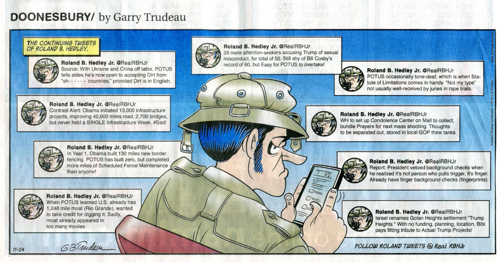
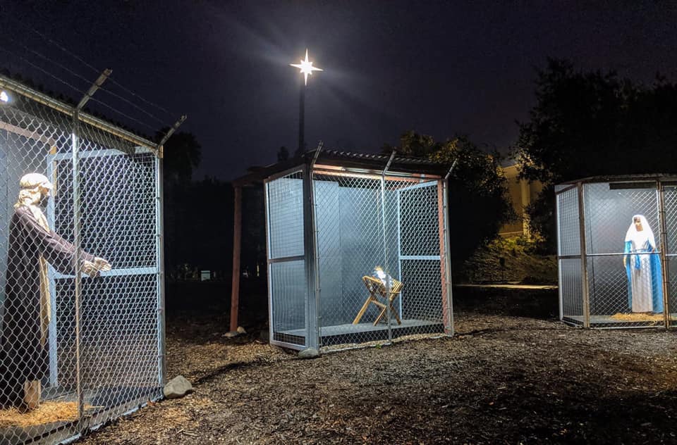
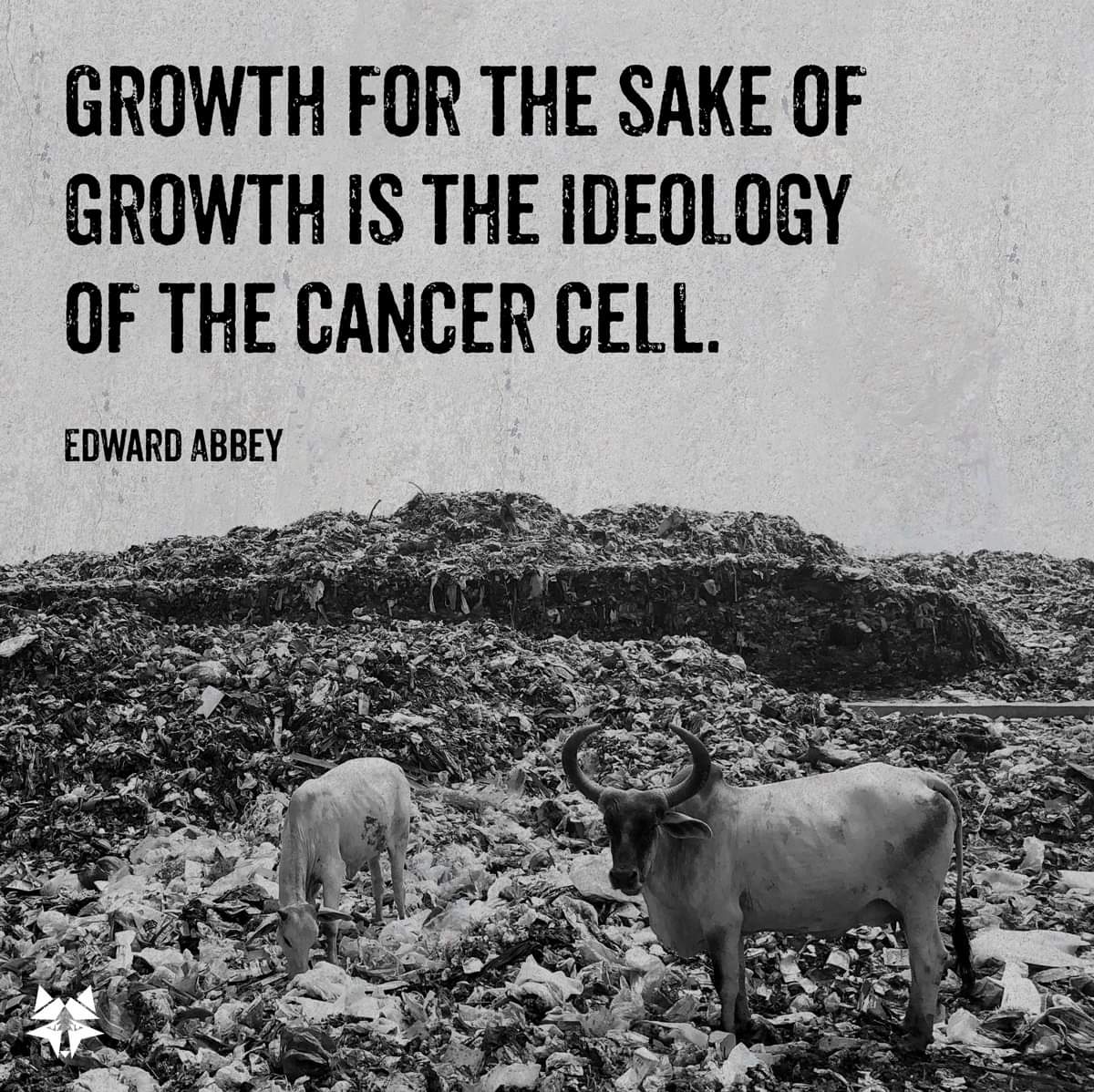
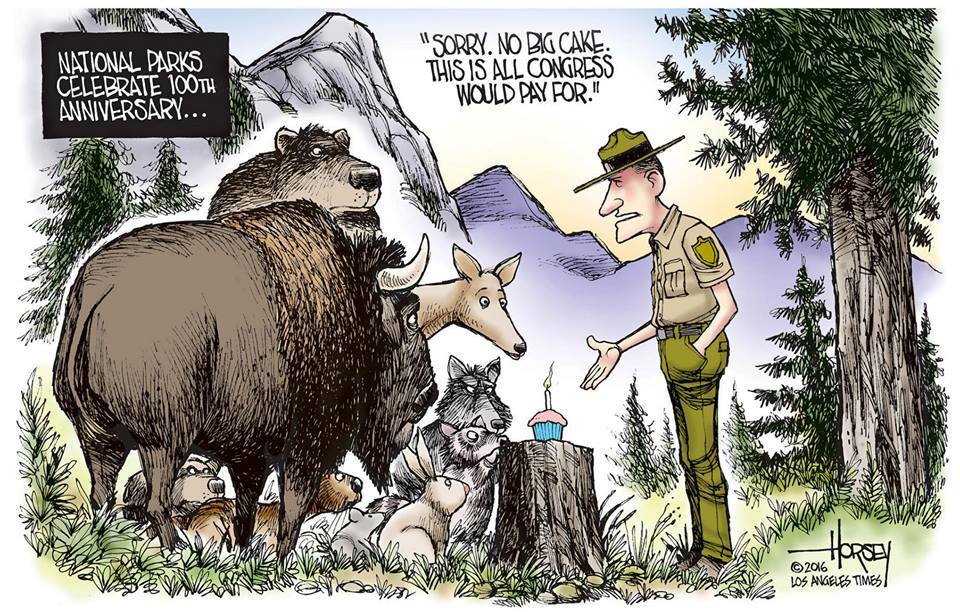
More Truth Than Joke:
| ||||
| ||||
| ||||
| ||||
| ||||
| ||||
| ||||
| ||||
| ||||
| ||||
|
Wild Vagabond Main |
Trip Report Index  |
Caveat  |
|---|