|
|---|
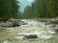
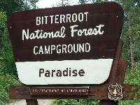
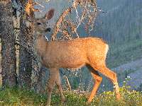
Where is Paradise?
(Click the image for a full-size view)
|
|---|
|
|---|
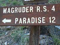
This way to Paradise!
(Click the image for a full-size view)
|
|---|
|
|
|---|
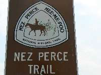
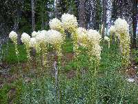
Nodding in agreement
(Click the image for a full-size view)
|
|---|
|
(There are - More photos below the trip narrative.)
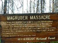
This is a report about a brief exploration of the Magruder
Cooridor and Highway 12,
which parallels some still-wild country. It's Lewis & Clark country. But of course,
first it was and still is home of the Nee-Me-Poo (Nez Perce).
Day 1: Magruder Crossing: I'm again sweeping
MF Salmon sand (click
for report)
from the folding chair and listening to the rustling burble of the slithering,
sinuous Selway River at Magruder Crossing. We're just downstream from the historic
Magruder RS and the only road crossing of the Selway in the upper drainage. True
American values.
An all-american group of ORV riders begins driving
to the nearby toilet after we have set up camp. Terrorists. Wasting gas rather
than walking 100 yards, polluting rather than enjoying the clean air. Bushco in
the woods. Impeachment for both! Absolutely.
After a late breakfast in Salmon, we drove over Lost
Trail Pass, of Lewis and Clark fame, and to the West Fork of the Bitterroot River, then
up this fork to the West Fork RS. After talking with the weekend rangers, we climb to
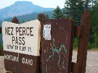
Nez Perce Pass on this, the Magruder Corridor road. This is the callous cherry-stem
road that splits, separates, serrates two magnificent wilderness areas striving to be
whole, to provide an unbroken migration corridor, a place more than an island of biodiversity,
free of mechanized terrorists of all sorts. Not to be, this hoped for linkage of the
Selway-Bitterroot of the North with the Frank Church River of No Return Wilderness of
the South. And, here we hypocritically are, exploring this backcountry byway.
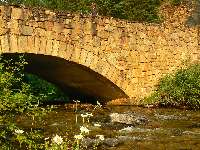
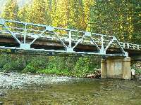
Also of note today is the lovely fire haze altering of
light on the Deep Creek Bridge. This bridge is of arched native cut stone construction
built by Lithuanian stone masons and the CCC in the 1930's - where Deep Creek enters the
Selway and near the Magruder RS. The CCC had a huge and enduring impact on trails and
facilities on public lands in the West.
The speed with which the CCC plan moved through proposal,
authorization, implementation and to operation was a testiment to cooperation among all branches
and agencies of the federal government. Wow, wouldn't this now be wonderful if used for good?
The history of the CCC can be seen here.
Many of the trails, now falling into oblivion
because of poor funding by the bushco administration, were built by the CCC.
FS buildings and campgrounds and other facilities were also created by the CCC.
How about bringing back the CCC?
I vote for assigning all those wall street criminals
to a stint in the CCC, paid for by their fines. After impeachment, bush, cheney, and
the rest of the gang who deceptively dragged us into an illegal, unbelievably costly
(lives, funds - your great grandchildren will still be paying for the war and corporate
welfare wrought by bushco, reputation, creating terrorists and ill-will, etc.), and
unplanned war
should serve several years in the CCC, rebuilding what they have defunded in the interest
of corporate welfare and welfare for the rich. We are in dire need of a statesman of any party
in the congress to properly bring impeachment charges. Are you a supporter of bushco? Then,
imagine Queen Hillary with
the executive powers granted and seized by bushco.
Frightened yet?
Every American should be frightened and taking action to curtail
the seizing of power, hiding of wrong-doing, and use of presidential authority that is fast
leading to king george, queen hillary, etc. Civil liberties? Transparency of government?
Nah, all replaced by fear and deception. We have established a presidency that does not respect
the rules of law. Bush and cheney should be impeached, Now. This country began with reaction
against a king named george. How about it, true Americans!? Are we a nation of laws or kings
and queens? Impeachment is the cure for the current constitutional crisis.
See the case for
impeachment of bush and cheney by a constitutional scholar.
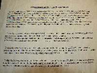
See the pdf file describing the Magruder.
The history of the CCC can be seen here.
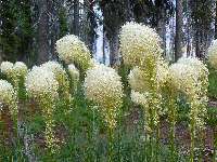
Day 2: Dust Driver. (to Granite Creek CG) Bear
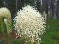
Grass globes light the fire sky dinge. If not for the haze, the background behind the
deer at Dry Saddle would be memorable. It's not a day or week for scenery shots.
Earlier today, we explored downriver, along the Selway,
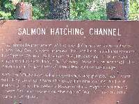
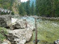
pausing at Indian Creek CG to inspect the hatching channel for salmon, as noted in the
book Indian Creek Chronicles by Pete Fromm, 1993, a guy who stayed here for a Winter,
keeping open these channels for hatching. We hiked trail 10, Indian Ridge and found it
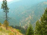
clogged at times with downed trees, and very hot. Nearly 3 miles and 2000' elevation gain
and we had good views of the haze and the Selway, and the trail was still climbing. A fat
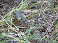
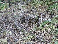
rattler, a buzz worm, lounges in the road when we get back to the trailhead.
We continued the one-lane dirt devil to Paradise,
where floatboating on the Selway begins. There is low water, even after contributions
by the Little Clearwater and Cap Creek. The river gauge appears to read less than a foot.
Back on the "main" road, we're climbing to Observation Point
and beyond and beyond. Mostly a one-lane road, with two rocky and very slow sections.
The sun disappears orange behind gray clouds. Because of reported bear activity at Poet
Creek, we continue to Granite and a late camp.


|
|---|
Map - Magruder Corridor driving: Lost Trail Pass to Red River RS
(Click the image to see the map)
|
|---|
|
If you want to view a full-resolution map, click here. Caution - do not use this map or gps track for
navigating the route.
|
|---|
CCC bridge over Deep Creek
(Click the image for a full-size view)
|
|---|
|
|---|
Bear Grass - Observation Point
(Click the image for a full-size view)
|
|---|
|
|
|---|
More Bear Grass
(Click the image for a full-size view)
|
|---|
|
|
|---|
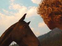
Listening Horse at Magruder RS
(Click the image for a full-size view)
|
|---|
|
|
|---|
Magruder Crossing
(Click the image for a full-size view)
|
|---|
|
|
|---|
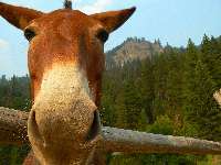
magruder mule
(Click the image for a full-size view)
|
|---|
|
|
|---|
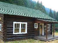
Magruder RS
(Click the image for a full-size view)
|
|---|
|
|---|
About Magruder RS
(Click the image for a full-size view)
|
|---|
|
|
|---|
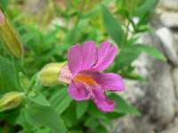
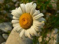
Magruder flower
(Click the image for a full-size view)
|
|---|
|
|
|---|
Selway from Indian Ridge
(Click the image for a full-size view)
|
|---|
|
|
|---|
Mr. Buzz Worm
(Click the image for a full-size view)
|
|---|
|
|
|---|
Mr. Buzz Worm
(Click the image for a full-size view)
|
|---|
|
|
|---|
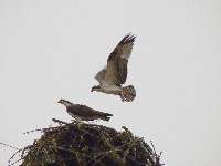
Osprey flying practice - Kooskia
(Click the image for a full-size view)
|
|---|
|
|
|---|
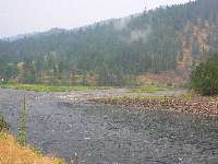
Selway (R) meets Lochsa
(Click the image for a full-size view)
|
|---|
|
|
|---|
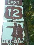
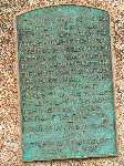
Sign about Lemhi Pass
(Click the image for a full-size view)
|
|---|
|
(There are - More photos below the trip narrative.)
Day 3: Magruder Closure, and on to Highway 12 The
rain pops gently on the tarp as I sit enjoying a partial view of the throbbing Lochsa
River. Today, we completed the long slow drive of the Magruder Corridor and a brief
exploration of Elk City before winding along the American and the South Fork Clearwater
to where the S. Fk. meets the (other) Middle Fork, the Middle Fork of the Clearwater, at
Kooskia.
Earlier, we are entertained by a juvenile Osprey flying
training flights in the wind near the junction of the road from the Kooskia fish hatchery
and Hwy 12. The Lewis-Clark highway (US 12) which parallels the route of the famous
explorers, Lewis and Clark, passes through the rugged Lochsa Canyon. Kooskia was named
for what is now the Clearwater River. The Nez Perce called it Koos-Koos-Kia for the river's
transparent quality. Upstream, the Lochsa and the Selway merge to form the Clearwater.
It's hot. Make that very hot. The Nez Perce Trail and
tribal stories dot the way. We had considered another backcountry byway, the Lolo
Motorway, part of the Lewis & Clark Lolo Trail route - but, after the dust driving of
Magruder, we opted for the more sedate Hwy 12. Rain. We waited and moved to our present
camp to set up the wing so clouds would clear. Worked OK.
What I learned from a little reading and the info signs
along the way is that Lewis & Clark considered canoeing the Main Salmon, hoping to follow
it to the sea. At North Fork, Idaho, where the North Fork joins the Main Salmon and the
Salmon turns West into the canyon, they checked out the terrain. This, apparently, was
the origin of the term "river of no return." They opted for the Northern Lolo Trail, a
trail that was used and known to the Nez Perce and the local Shoshone for decades. This
trail generally ran the ridges, and because of early snow, presented problems for Lewis
& Clark. It is unclear why the Corp of Discovery did not use the lower route that generally
follows the Magruder Corridor, which was also well-known to the local Native Americans.
This, apparently, is the origin of the term "Lost Trail Pass." There is so much more to be
learned, and much that will forever be unknown about the Corp of Discovery.
Click to learn more about
the fascinating adventures of Lewis & Clark
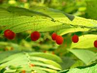
Day 4: Garden of Eatin', to Boulder Creek (10 miles, 14 ERM.) Luscious fruits of
all sorts hang over and line Trail 211 as it winds along, high above, and eventually meets
Boulder Creek. "Sarvis" (Service) Berries, Thimble Berries, Wild Raspberries, and Chock
Cherries, but I won't count these because they are suited for jam, not eating. Yum. Flavor
pregnant, rain-washed sarvis berries. Yum.
Happily, the trail is shaded on and off much of the way
by the thick bushes and tall trees - because it's hot. 90 or above. We see no one on
the trail, but four at the creek. Everyone gathers for a bit of cool water.
A real wilderness, here in the Selway-Bitterroot Wilderness.


|
|---|
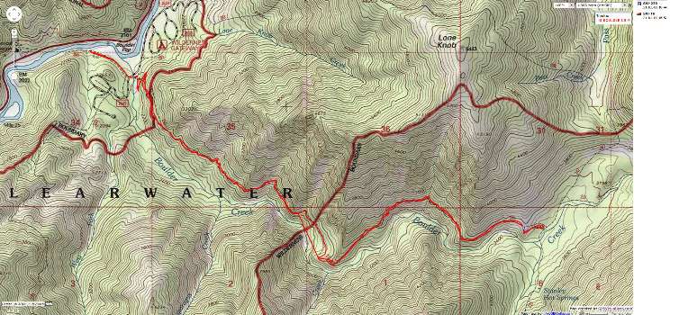
Map - ID: Boulder Creek - 10-miles
(Click the image to see the map)
|
|---|
|
| | |


