|
|---|
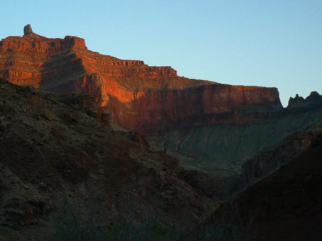
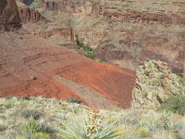
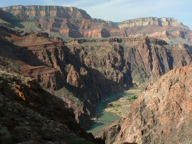
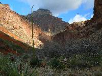
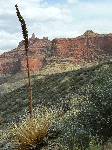
Clear Creek View
(Click the image for a full-size view)
|
|---|
|
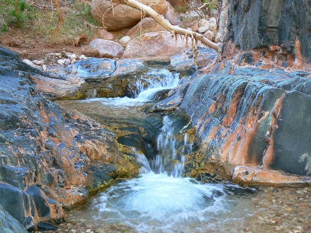
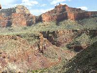
|---|
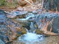
Eponymous Clear Creek
(Click the image for a full-size view)
|
|---|
|
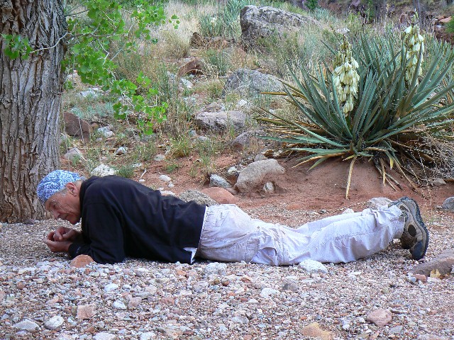
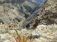
|
|---|
Scenic toilet view
(Click the image for a full-size view)
|
|---|
|
(There are - More photos below the trip narrative.)
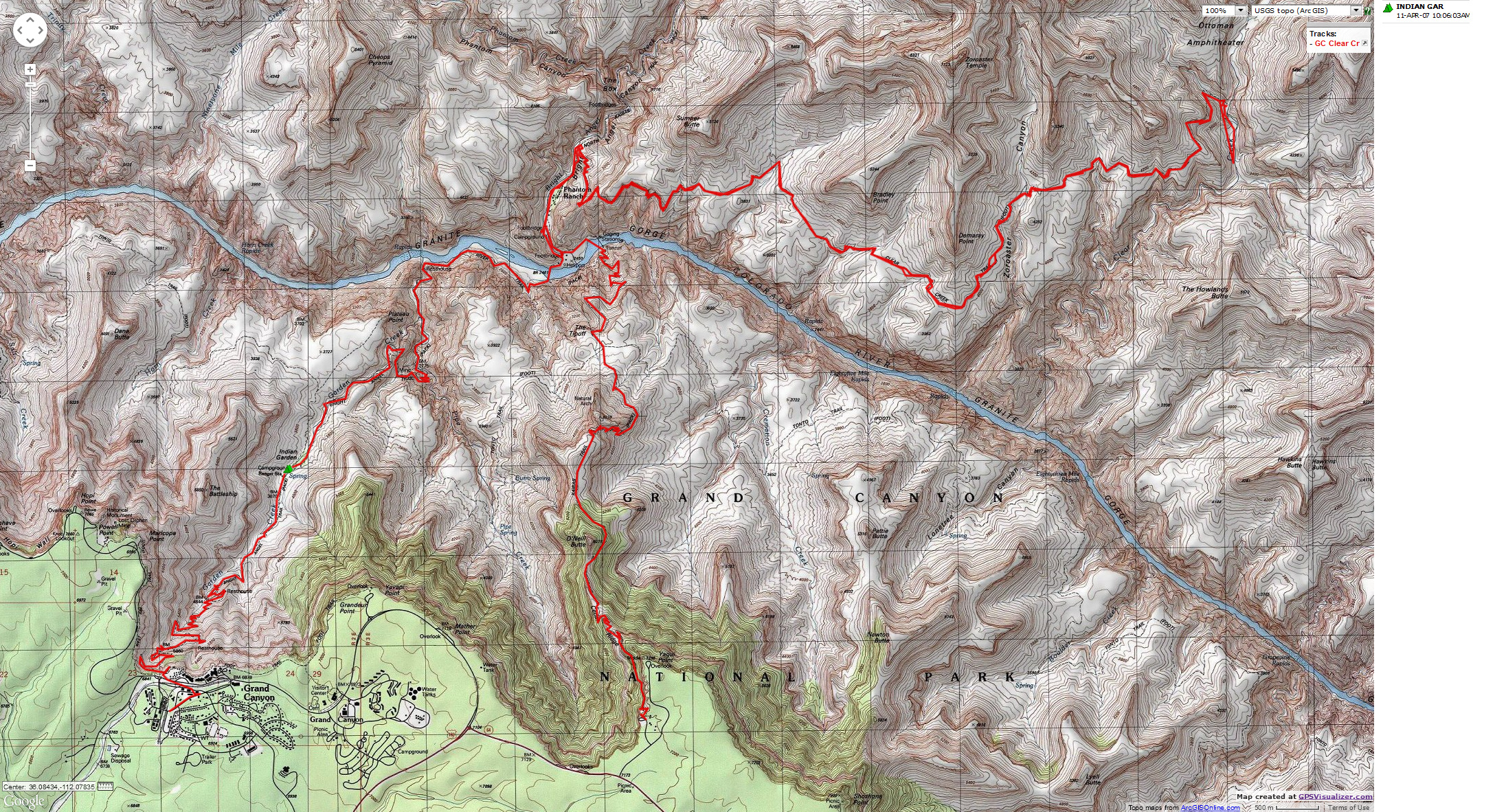
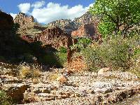
Day 1: To Bright Angel Camp via the South Kaibab
(7.5 miles, 4800’ = 16 ERM; Energy
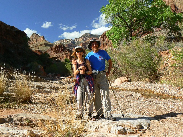
Required Miles). We (Al & Mary H., Aaron J., Kathleen, and I) are sitting at the BA
CG watching bats flitter and listening to the burble of Bright Angel (BA) Creek. Clouds
roll, dark,
and the daylight fades. We were earlier disappointed to learn that there would be no
beer – Phantom Ranch is closed fro 4-8 p.m.
It has been a long day of dropping through billions of
years of rock layers.
(Moroccan Couscous with pseudo sausage.)
Day 2: Flogging to Clear Creek (9+ miles, 8 hours,
2,000’ = 13 ERM). I’m resting on the scenic toilet of Clear Creek, on the morning of
Day 3 and watching clouds swirl around the temple as light plays across the canyon walls.
An hour or more to local sunrise, it’s a calm and restful contrast to the gales, thunder,
lightning, and rain of yesterday afternoon and evening – and, this after a full flogging
along the Clear Creek Trail. Ahhh.
We were hiking from the BA CG a bit after 6 a.m.,
wandering through Phantom Ranch, where dudes were already out playing cards. The N.
Kaibab Trail is already more like a trail than the South Rim interstates as we peel off
and head up and up toward the base of the Tapeats Sand Stone (SS), enjoying the River overlooks provided
by the CCC. A delightful cool morning. We would see one person on our Clear Creek march.
The Colorado is flowing green (chili verde?), a welcome change from the turbid brown I
saw from high above last week. In and out of drainages, or around them we roll through
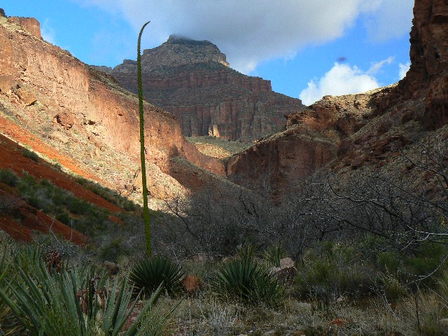
the open country, enjoying the changing vies of Zoroaster Temple. It’s a long day and
we are fortunate to have a cooling breeze some of the way. Finally, after what seemed
like 3 miles more than the full distance, we top a bump and begin the descent through
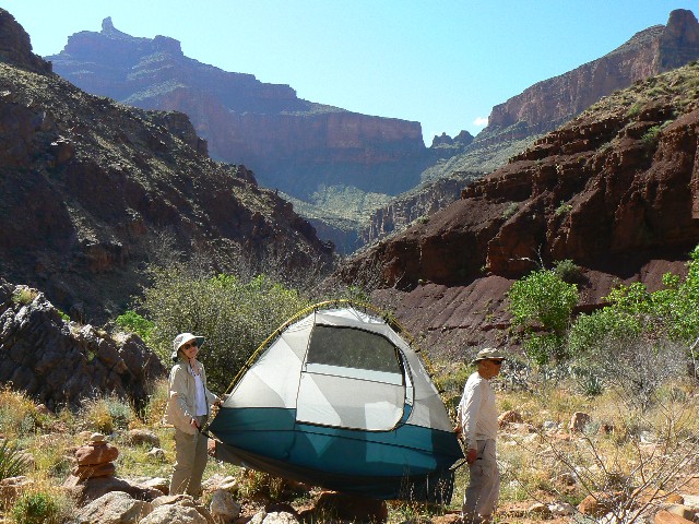
blood-red bands, the trail edged into these bands. Finding a camp below the initial
confluence, the wind starts ramping up to a gale. Al devises a scheme for cooking –
holding bowls over pots to keep out blowing sand. Aaron has difficulty cooking because
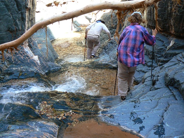
the wind blows away the stove heat. We pause to quickly enjoy the clear (eponymous)
creek and then sweep out the tent and tighten it against the flying sand. (pasta primavera.)
Thunder rumbles, lightening flashes, the wind continues,
and passing low jets sound like flash floods. It rains a little, thankfully mostly steady
to stabilize the sand.
Occasionally, I can hear the burble of Clear Creek.
The narrative continues below this photo bank, followed by
more photos!
|
|---|
Spiraling the Kaibab
(Click the image for a full-size view)
|
|---|
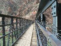
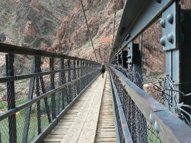
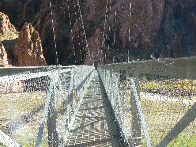
|
|---|
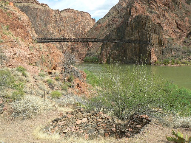
Black Bridge crossing
(Click the image for a full-size view)
|
|---|
|

|
|---|
Kiva along the Colorado
(Click the image for a full-size view)
|
|---|
|
|
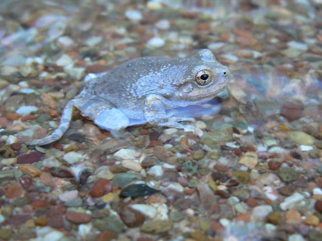
|---|
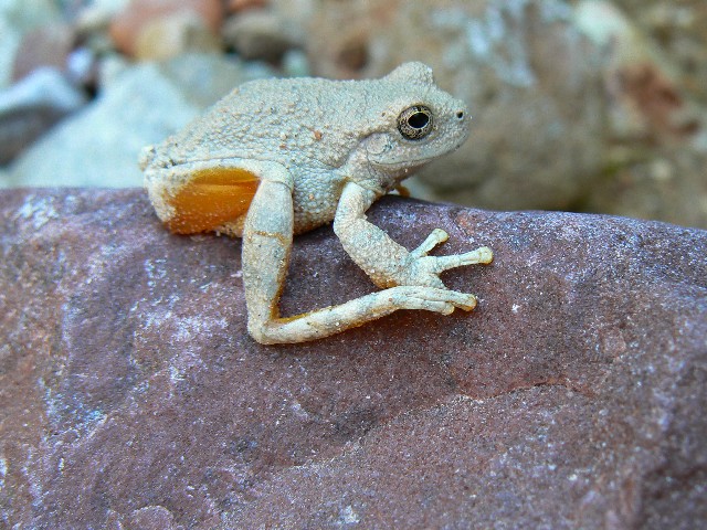
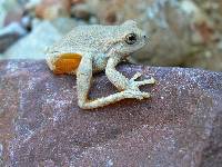
Clear Creek Froggy
(Click the image for a full-size view)
|
|---|
|
|
|---|
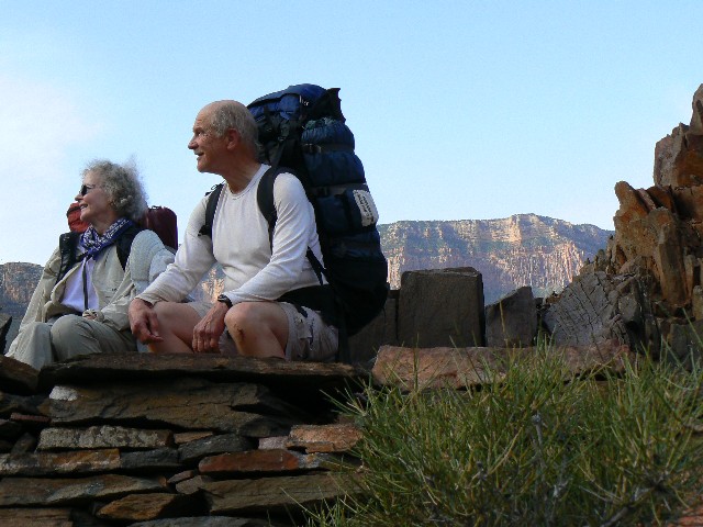
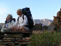
Mary & Al - CCC overlook
(Click the image for a full-size view)
|
|---|
|
|
|---|
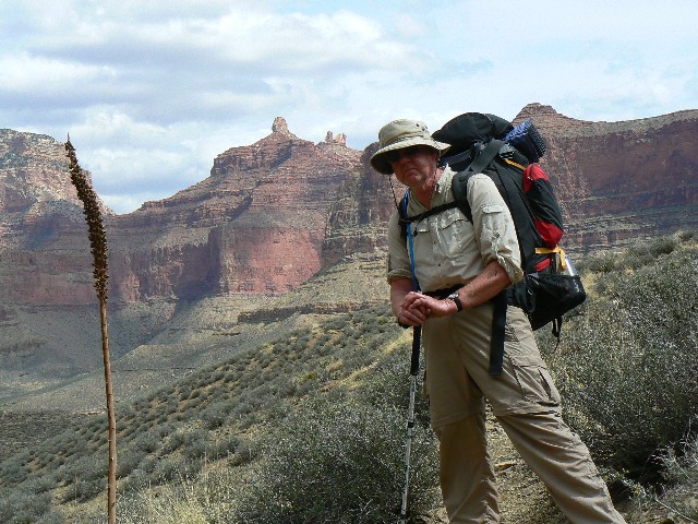
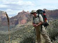
Aaron and Angels Gate
(Click the image for a full-size view)
|
|---|
|
|
|---|
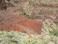
Dropping into Clear Cr.
(Click the image for a full-size view)
|
|---|
|
|---|
Angels Gate
(Click the image for a full-size view)
|
|---|
|
|
|---|
Clear View
(Click the image for a full-size view)
|
|---|
|
|
|---|
Another Clear View
(Click the image for a full-size view)
|
|---|
|
|
|---|
Along Clear Cr.
(Click the image for a full-size view)
|
|---|
|
|
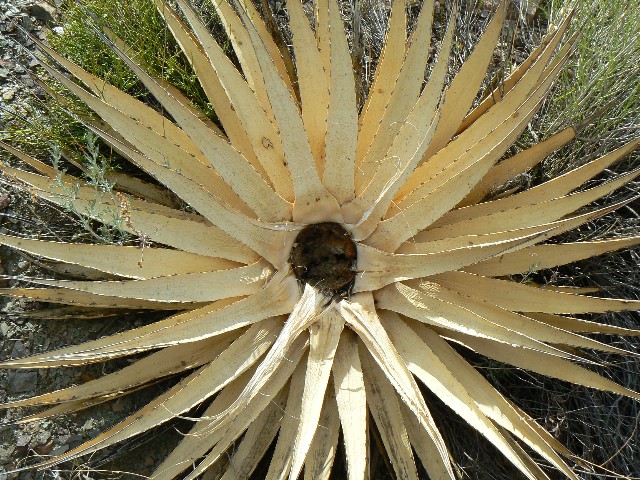
|---|
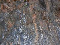
Rock Swirl
(Click the image for a full-size view)
|
|---|
|
(There are - More photos below the trip narrative.)
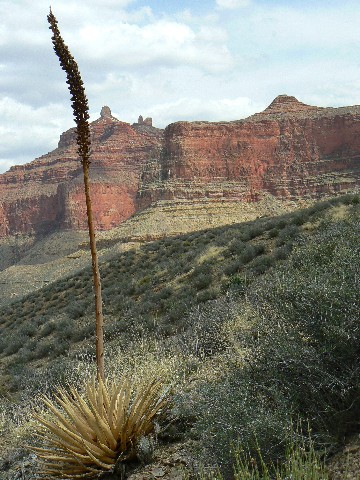
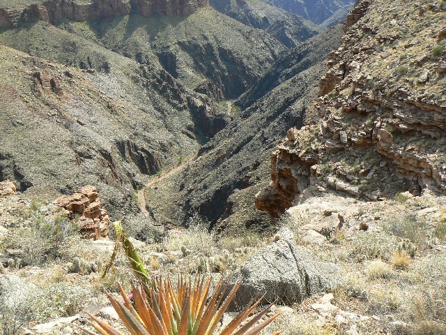
Day 3: Sauntering and Blown Asunder (3 miles). Combing
out the wind knots from my hair and digging out the sand from my ears, I see that the clouds
are rolling out and it’s cool enough for a jacket. I sweep out the tent and then laze away
much of the morning studying the book of rocks. We had initially planned to hike to the
River or up to Cheyava Falls (“intermittent” in Hopi) – which is apparently not running.
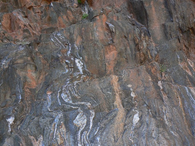
After lunch, we saunter down canyon, deeper into the
basement rocks. According to
religionists, these rocks are at least 6’000 years old. These are the folks who should not
use medical care or technology because they reject science. Situational science, a la bushco.
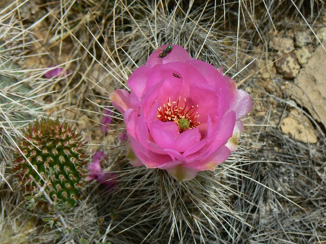
Why are they using medical care to over-populate our one and only planet? The golden reds
of the Zoroaster Granite give way to the mica schists, glittering in the sunlight. We see
canyon froggies and a huge gopher snake in camp. The frogs sound like those at Mountain
Sheep Spring – bleating. The wind is unbelievable again, and keeps me up much of the night.
Day 4: Windy Return (9+ miles, 6 hours, 13 ERM).
The wind had continued all night and at last it is still this morning. There’s no real
way to clean equipment of sand. The zippers on two tents have failed. Sanded. We pack
and head up on the rim to begin the longish roll back to BA CG. The wind continues, making
it easier to keep going. We roll along, and proclaim that the hiking is much easier than
on the way in. We arrive at the busy BA camp and find a shady spot. A delicious, cool
evening ensues. Life is precious without the wind.
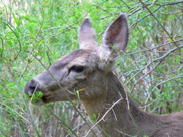
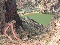
I walk around the camp loop, viewing the fish weir.
Flannel mouth suckers are spawning. Brash deer almost nudge me off the trail.
Day 5: BA Out, Pausing at Indian Gardens (9.5 miles,
ERM). We get a decent early start and head across the silver bridge, then along the river
route to Pipe Creek, where the fun climb begins. Thousands of steps, grind. Warming,
but never hot. We pause at Indian Gardens as train after train of mules roll through,
dusting all around. When we leave, more come by, puffing the finely-ground dust through
the air, where it hangs suspended, to lodge deep in your lungs.
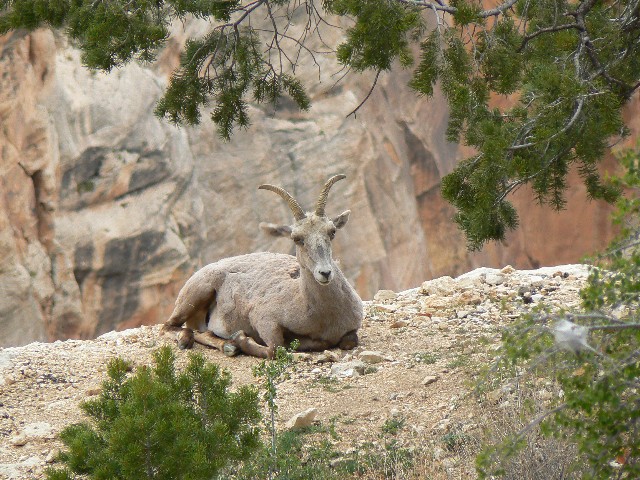
Tourists in their red shoes holding shopping bags,
those huge paper bags, are milling around near the upper rest stop. Yikes. Sheep
lounge below the rim, serving as animal magnets (animal magnetism?) to another throng.
We walk to the backcountry office and there we part….. another delightful adventure.


|
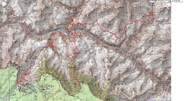
|---|
Map - GC: Clear Creek
(Click the image to see the map)
|
|---|
|
| | |