|
|---|
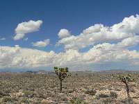
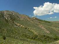
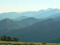
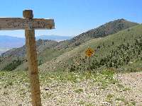
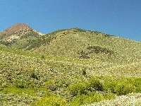
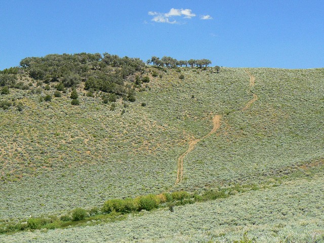
Approaching Tonopah
(Click the image for a full-size view)
|
|---|
|
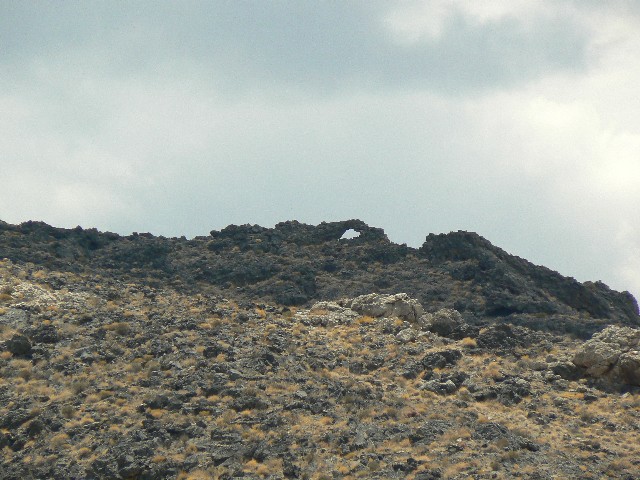
|---|
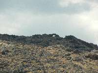
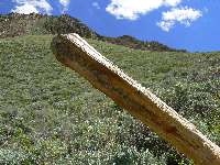
Arch on Hwy 95
(Click the image for a full-size view)
|
|---|
|

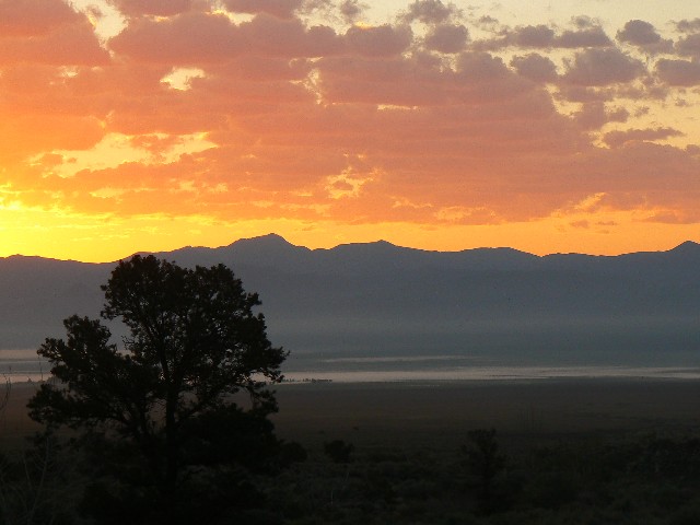
|
|---|
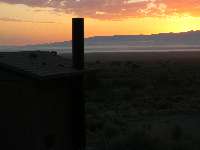
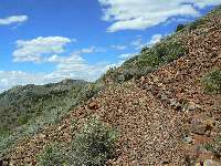
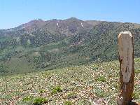
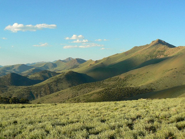
Day 1 Sunrise
(Click the image for a full-size view)
|
|---|
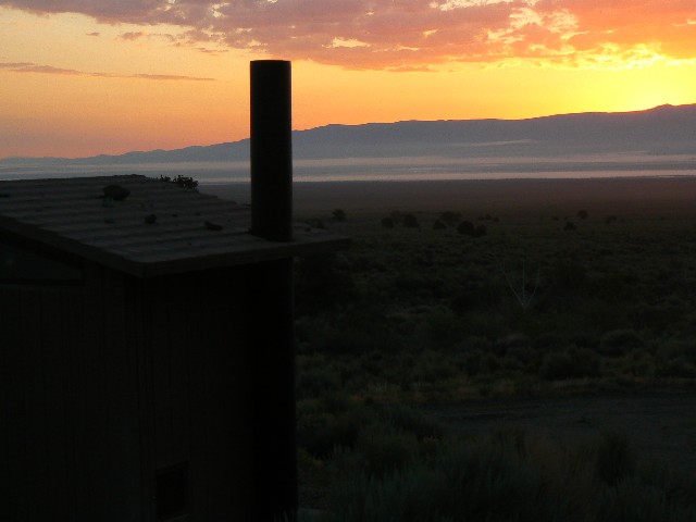
|
|
|---|
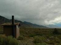
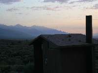
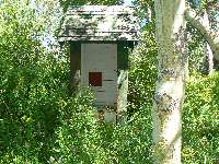
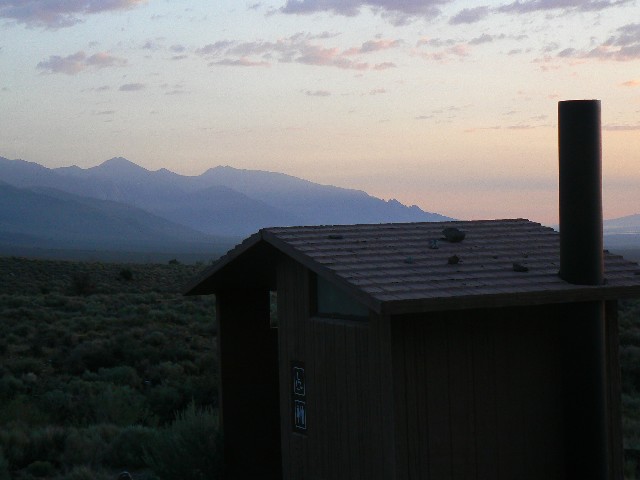
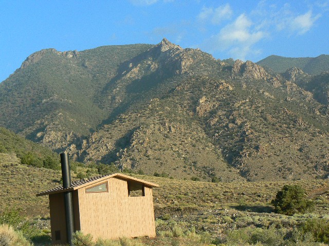
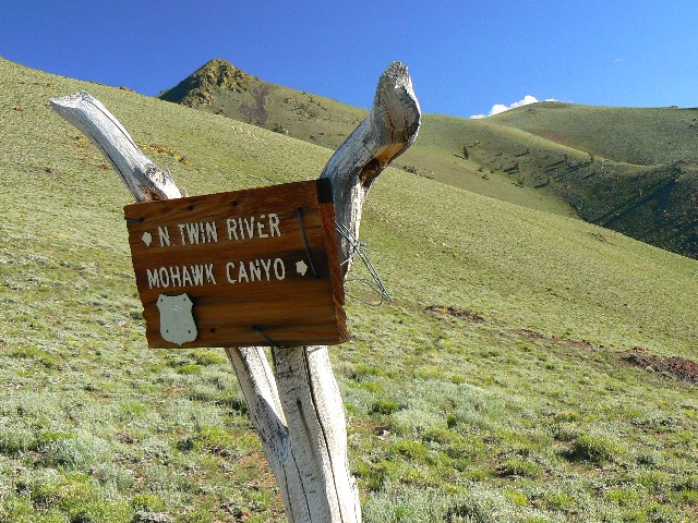
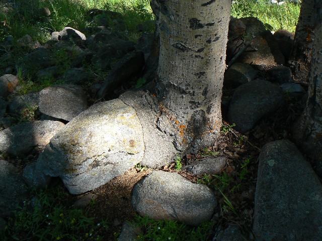
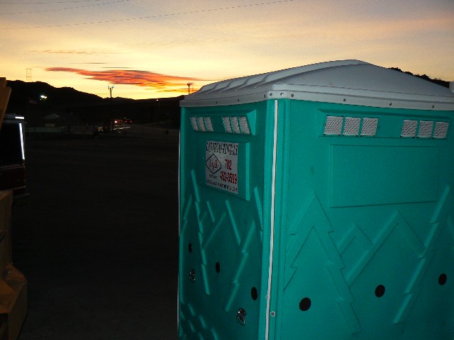
S. Twin Scenic Toilet
(Click the image for a full-size view)
|
|---|
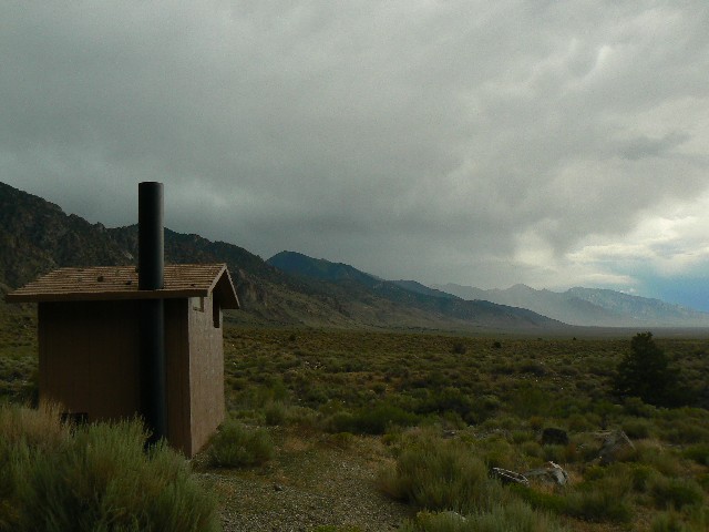
|
|
|---|
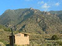
S. Twin Scenic Toilet
(Click the image for a full-size view)
|
|---|
|
|
|---|
S. Twin Scenic Toilet
(Click the image for a full-size view)
|
|---|
|
|
|---|
S. Twin Scenic Toilet
(Click the image for a full-size view)
|
|---|
|
|
|---|
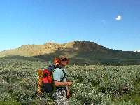
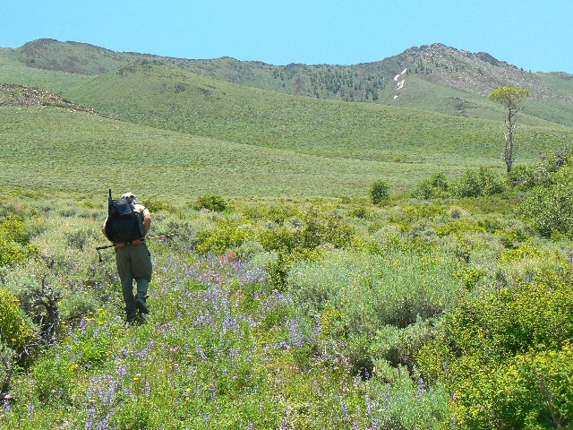
Heading for a ride
(Click the image for a full-size view)
|
|---|
|
|
|---|
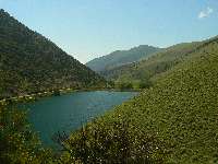
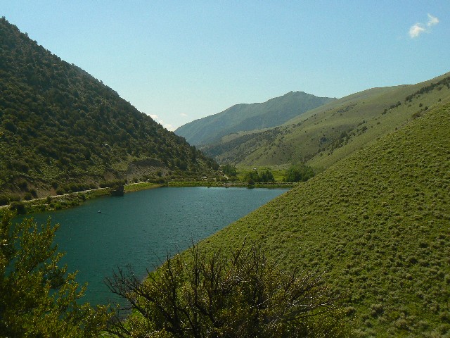
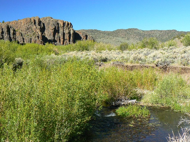
Groves Lake
(Click the image for a full-size view)
|
|---|
|
|
|---|
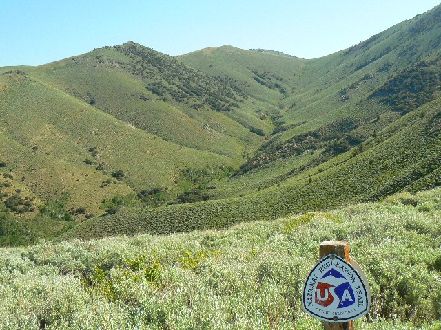
Starting the TC Trail
(Click the image for a full-size view)
|
|---|
|
|
|---|
On the TC
(Click the image for a full-size view)
|
|---|
|

|
|---|
On the TC
(Click the image for a full-size view)
|
|---|
|
|
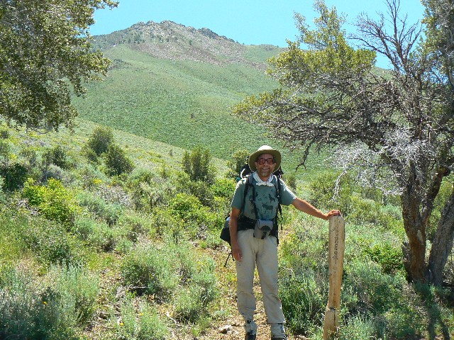
|---|
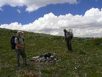
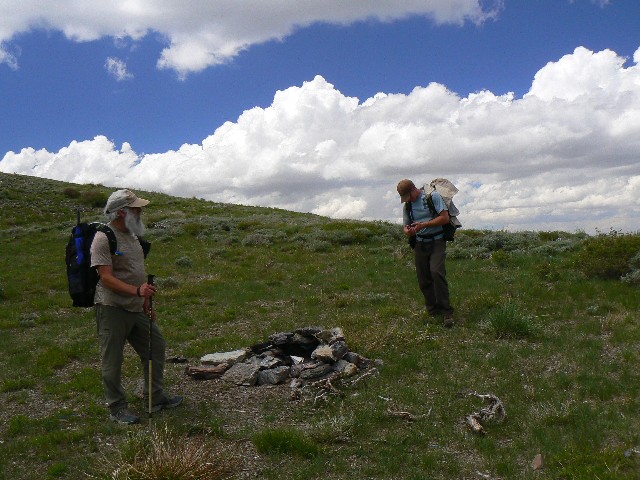
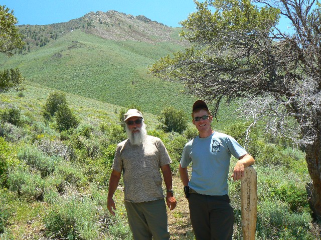
David and Wes
(Click the image for a full-size view)
|
|---|
|
|
|---|
On the TC
(Click the image for a full-size view)
|
|---|
|
|
|---|
Survey of damage
(Click the image for a full-size view)
|
|---|
|
There are more photos with each day of narrative...
The art of adventure implies active visual
exploration that is more mental than physical. The art becomes an adventure and vice
versa. Where there is certainty, the adventure disappears.
Galen Rowell
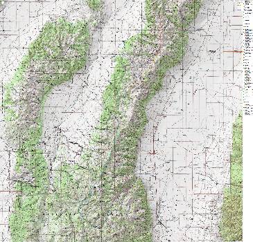
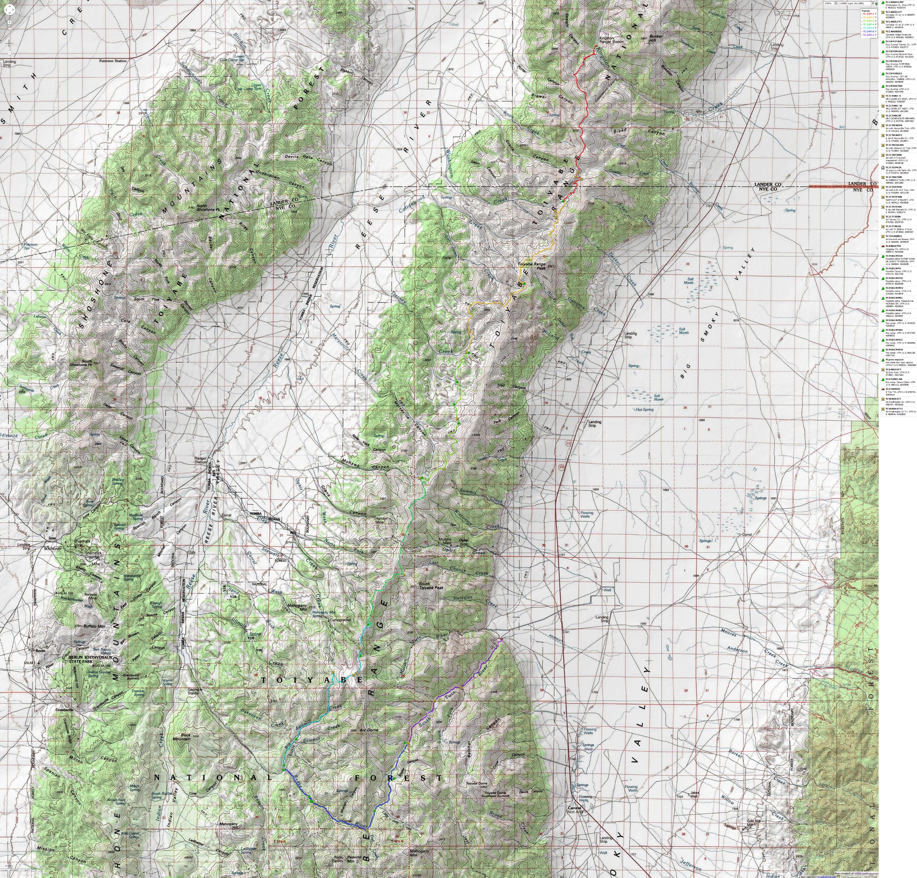
Total trip miles = 71; total *ERM = 137.


|
|---|
Map - NV: Toiyabe Crest; 2009; 71 miles
(Click the image to see the map)
|
|---|
|
for a full-resolution map, click here. Caution - do not use this map or gps track for
navigating the route.
 Map from previous hike --->
Click here to go to my GPS route
of the 2007 Twin Rivers Loop and the day hike to Arc Dome. It
will appear as a Google map on a USGS topo background. Change the scale of the map (the "+") to
better see the route. Move around on the map with the 'hand.' Enjoy Map from previous hike --->
Click here to go to my GPS route
of the 2007 Twin Rivers Loop and the day hike to Arc Dome. It
will appear as a Google map on a USGS topo background. Change the scale of the map (the "+") to
better see the route. Move around on the map with the 'hand.' Enjoy
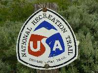
Overview:. This is a report about a mostly solo hike along the Toiyabe Crest - A National Recreation "Trail." I hiked from the Kingston Canyon TH to the South Twin Rivers TH, a distance somewhere in excess of 70 miles. The effort required to hike this sometimes a trail is estimated by calculating Energy Required Miles (ERM).
*ERM - Energy Required Miles - was initially used in Trails of the Tetons (long out of print) by Paul Petzold, founder of NOLS. It's a wonderfully useful concept and application. Add one mile for each 500' up AND down to distance = ERM. I use ERMs to calculate what the actual day is like.
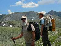
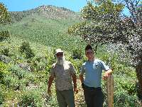
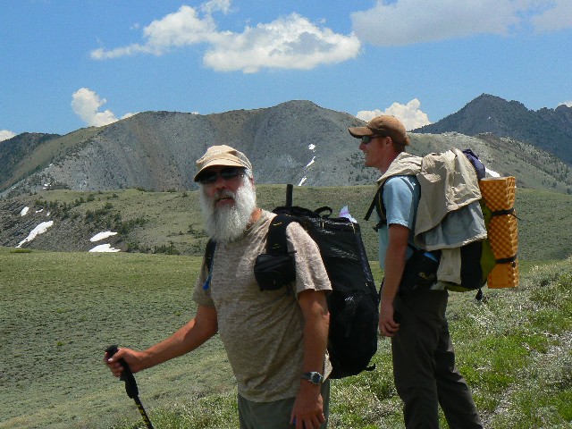
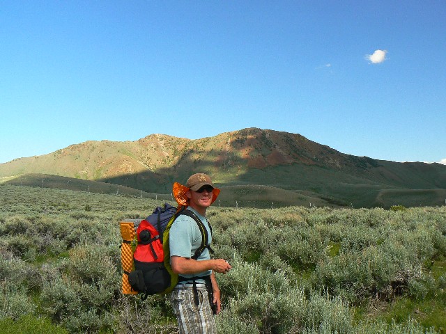
I teamed up with Wes H from Friends of Nevada Wilderness and David K, a trail man from the FS during the first two days of the adventure. They were the only hikers or people I saw over my 7-day adventure.
Toiyabe Crest pros and cons: Pros: you can leave your shorts at home because the brush forces one to wear pants, solitude, terrific diversity, sometimes a trail, amazing views, flower infestation, benign neglect by the FS.
Cons: carrying that face guard and welding gloves for brush-beating, Toiyabe Moose, sometimes a trail, ORV incursions, benign neglect by the FS.
Note: There is little in-depth information about the Toiyabe Crest. For many, this is part of the attraction of this National Recreation "Trail." It's part of how come I chose the title, "Tempting Toiyabe." The book by Bruce Grubbs includes little information beyond that which can be obtained from the FS (Forest Service - see links section). In addition, the Grubbs book lists incorrect mileages, no reference to effort required (as in ERMs), and is written as if the trail was not hiked in preparation for the guide because it contains no information about absent trail sections, alternative routes (as in the section near Tierney Creek), feasible camping areas, etc.
My advice - get to know the fine people at Friends of Nevada Wilderness (click here for link), study the maps of the Toiyabe (a starter map is in this report), and go out there on a volunteer activity with Friends to get a feel for the area. Then, start hiking while you continue your wild activism. If you want resources - get some USGS topo quads and the FS area map. Leave the Grubbs book on the shelf. If you really want a reference book, I suggest you consider Nevada Wilderness Areas, 1997, by Michael C. White (Wilderness Press). It is superior, yet covers only the portion of the Crest in the Arc Dome Wilderness.
Mileages listed in this report are given with rumsfeldian caveat -- Distances are estimated rumsfeldian fashion, not accounting for known knowns or unknown knowns or unknown unknowns, yet knowing that brush and poor signal reception (GPS) attenuates GPS accuracy. This said, my estimates were very close to those obtained from Wes' GPS and an entirely different method used by David K. - meticulously measuring the trail on the topo using a string, with a correction for altitude (maps are two-dimensional, after all). My use of a map wheel (+ adding a percentage for 3-dimensional and uncaptured wiggles) on the USGS quads produced similar results - none of which compared to those by Grubbs.
Now, let's get on with the trip report!
Pre-hike: Rain Wrangler. Nevada.
I'm slouched against my pack in the back of the pick-up, rain pattering gently, the sound nearly drowned out by the burbling South Twin River. It seems far later than 6:30 p., because of the full cloud cover.
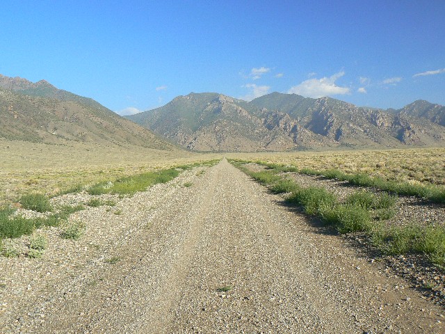
It's about 550 miles to this trailhead (TH) from Northern Arizona - a full driver day. I was hoping to walk the 3 miles out to Hwy 376 and catch a ride to the Kingston G.S., and stay the night at the Kingston G.S. with David K (FS temp) and Wes H (Friends of Nevada Wilderness), both of whom I telephoned but have not yet met. The hour and the drizzle change this plan.
The longest journey begins with a single step,
not with a turn of the ignition key.
Edward Abbey
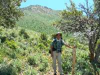
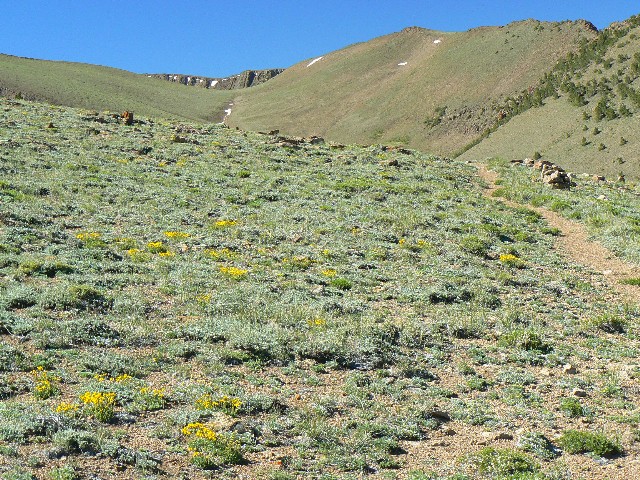
Day 1: Wishful Washington (July 3rd): Kingston TH to Washington Creek. 9.75 miles, up 3150', down 2280'; ERM = 20. (plus 3 miles road walking, not counted in distances).
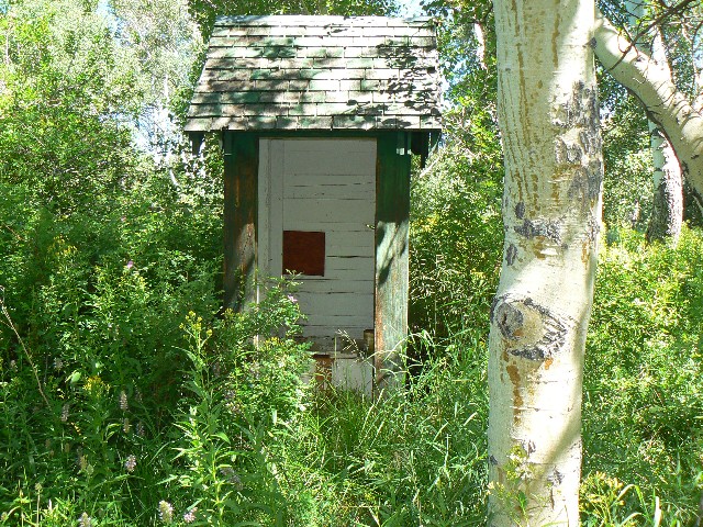
The sun blossoms as I wrestle equipment and prepare for a long trip. Scenic Toilet!
link to -- Scenic Toilets
of Inner Earth. Indeed. After parking at S. Fk. Twin, I walk the 3 miles to Hwy 376 and wait for a ride, getting one after an hour. And, then only to Kingston. Soon, Joe from Fallon drives me up the canyon to the supposed TH. Crossing the creek, the trail launches into a steady climb up brush-choked slopes.
Eventually, I encounter Wes and David and we lilt along the Toiyabe Crest, a National Recreation Trail (at least a trail in name). We hike off the end of the trail into thick sage once we drop into Washington Creek basin. There is no trail in much of the basin prior to our camp (see map). It is difficult to find a camp and the slight sidehill in the fringe of Aspen has been visited by cattle. Flatish feet, a touch of rain, an exhausted me. (Note - better camping can be found along the stream N of the camp - see map.)
But of course a happy man's true paradise is his own good nature.
Edward Abbey
This, after all, is largely a solo hike.
|
|---|
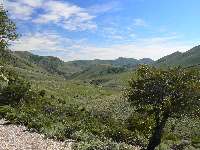
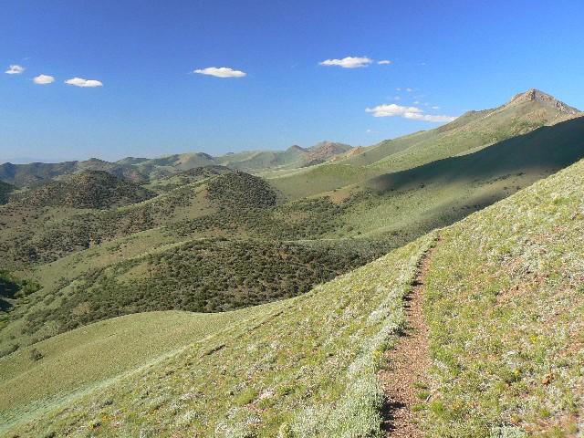
Day 2 on the TC
(Click the image for a full-size view)
|
|---|
|
|---|
Day 2 on the TC
(Click the image for a full-size view)
|
|---|
|
|
|---|
Day 2 on the TC
(Click the image for a full-size view)
|
|---|
|
|
|---|
Day 2 on the TC
(Click the image for a full-size view)
|
|---|
|
|
|---|
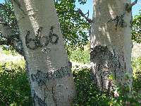
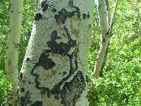
CCC Artistry
(Click the image for a full-size view)
|
|---|
|
|
|---|
Wes and French Peak
(Click the image for a full-size view)
|
|---|
|
There are more photos with each day of narrative...
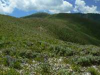
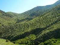
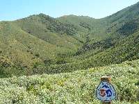
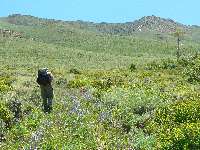
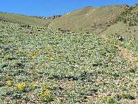
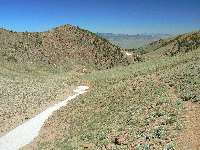
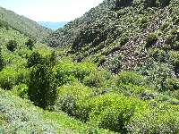
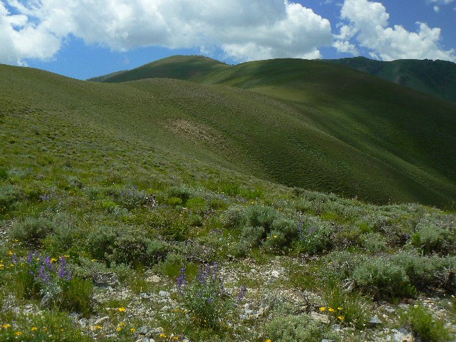
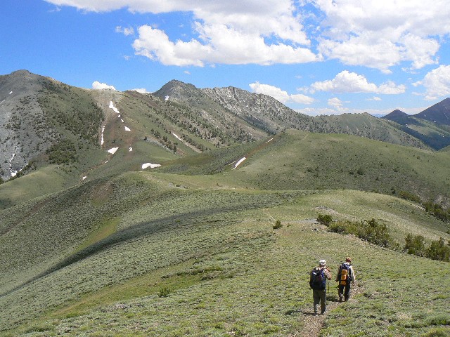
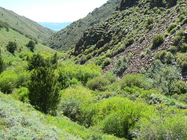
Day 2: Tyrannical Tierney: Celebrating Nature on the 4th of July: Washington to Tierney Cr. 13.0 miles, up 1825', down 2546'; ERM = 21. Camp at 7800'
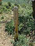
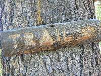
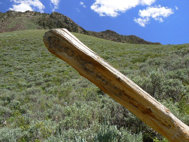
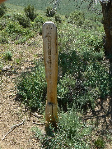
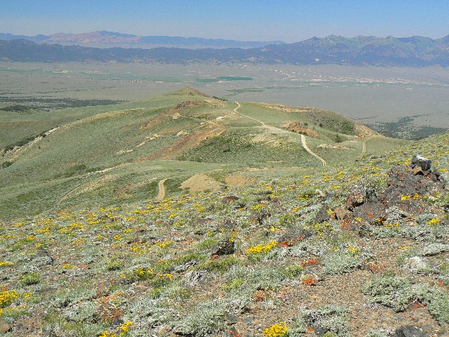
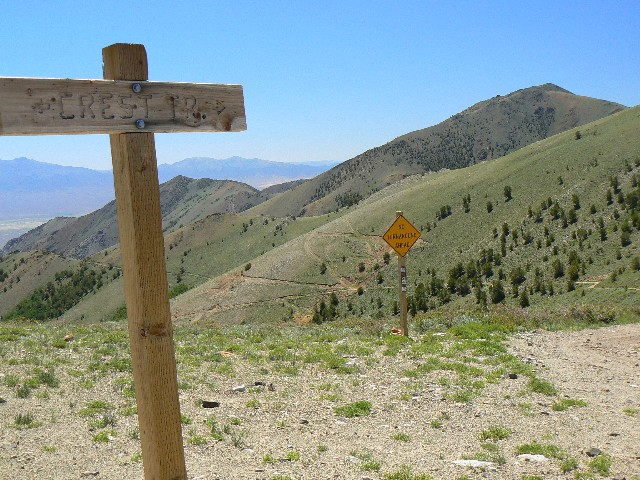
The Toiyabe Crest (TC) sign hangs askew, routed letters ravished by years of wind, snow, sun. We've found another section of the TC Trail that hikes like a trail. Yahoo. Open, rolling terrain, scuttling around major drainages, minor ones too.
A phalanx of Toiyabe Moose greets us with republican bellowings as we switchback into Tierney. Tyranny of Tierney. As they run up - much as so-called conservatives of the bushco and reagan eras ran up the deficit - a family of Coyotes yip into a yodel. Song Dog. Melodious.
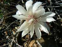
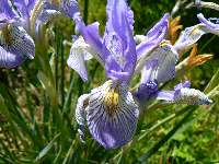
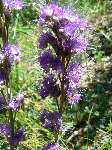
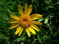
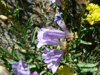
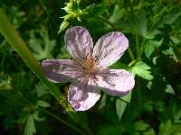
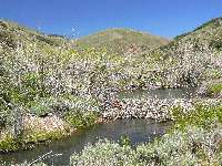
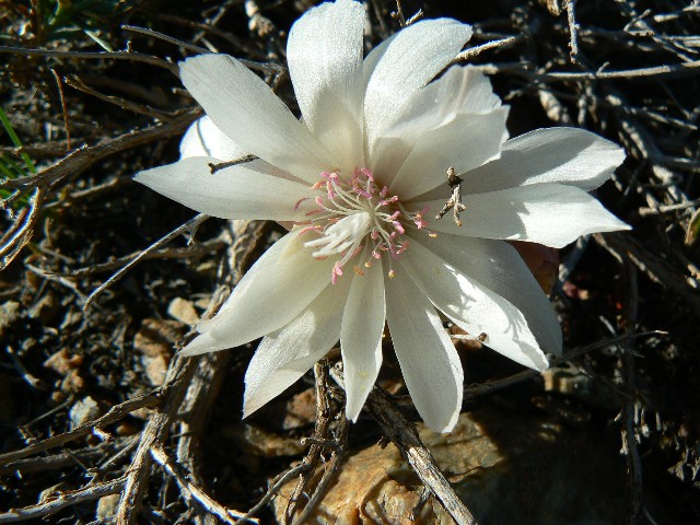
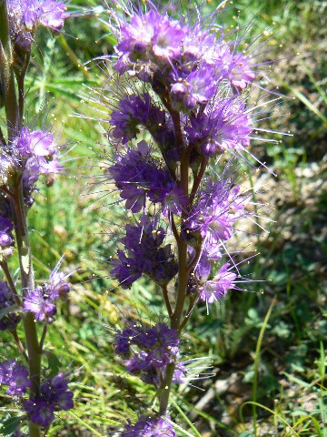
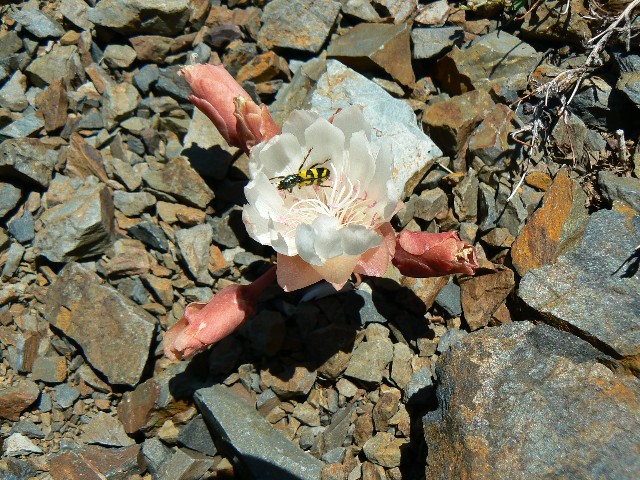
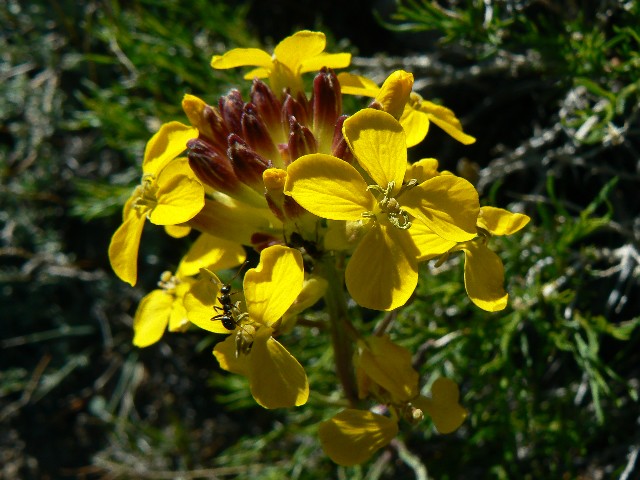
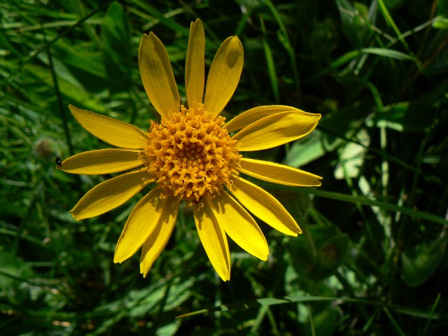
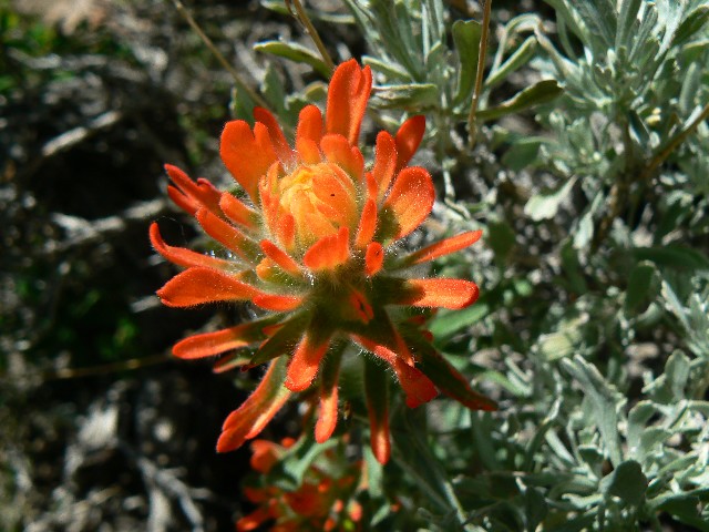
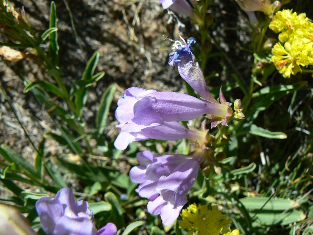
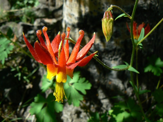
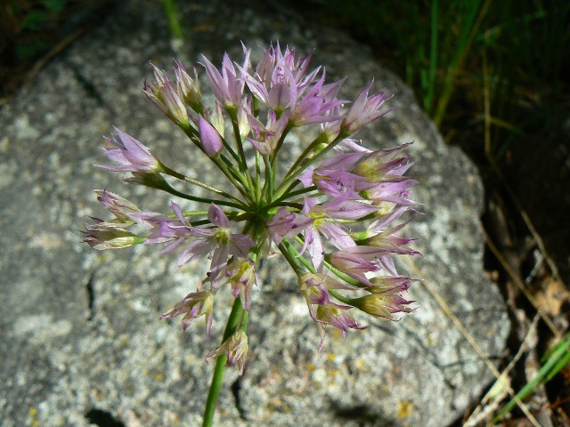
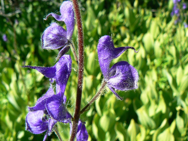
We camp in a small pasture East of the Tierney/Crest junction and I enjoy a bath. Lovely evening. Flowers galore - pygmy bitterroot on the pass, flox, flax, purple fringe, arrowleaf balsamroot, mules ears, lupine, wallflower, hooker ? onion, penstemon, Indian paintbrush, wild iris, gentian, larkspur, many unknown yellow composites, monks' hood, and much more.
|
|---|
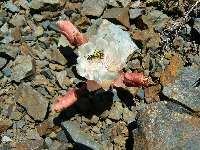
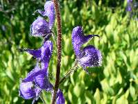
Day 3 - Pygmy Bitterroot
(Click the image for a full-size view)
|
|---|
|
|---|
Wild Iris
(Click the image for a full-size view)
|
|---|
|
|
|---|
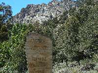
Scripture Sign
(Click the image for a full-size view)
|
|---|
|
|
|---|
ORV damage
(Click the image for a full-size view)
|
|---|
|
|
|---|
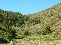
Day 3 on the TC
(Click the image for a full-size view)
|
|---|
|
|
|---|
Day 3 on the TC
(Click the image for a full-size view)
|
|---|
|
|
|---|
Day 3 on the TC
(Click the image for a full-size view)
|
|---|
|
|
|---|
Day 3 on the TC
(Click the image for a full-size view)
|
|---|
|
|
|---|
Day 3 on the TC
(Click the image for a full-size view)
|
|---|
|
|
|---|
David and Wes go out Marysville
(Click the image for a full-size view)
|
|---|
|
|
|---|
ORV damage
(Click the image for a full-size view)
|
|---|
|
|
|---|
Purple Fringe
(Click the image for a full-size view)
|
|---|
|
There are more photos with each day of narrative...
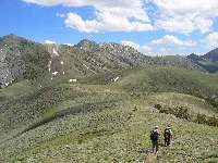
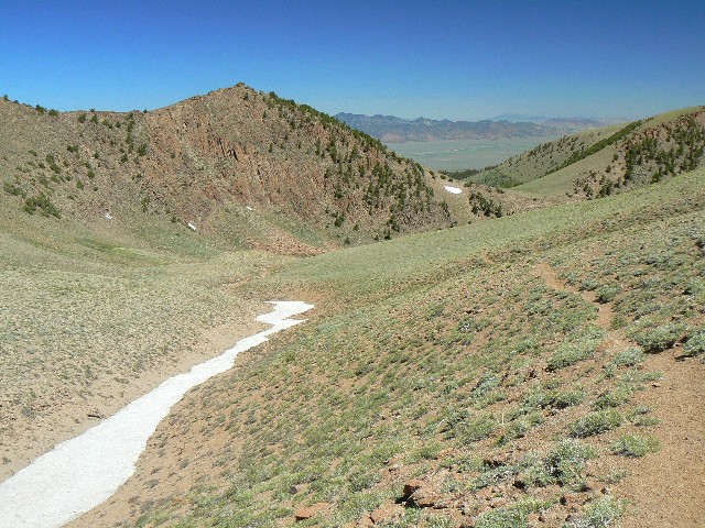
Day 3: Dry Drudgery: Tierney to Marysville/Mohawk Pass: 9.7 miles; 2589' up, 1500' down; ERM = 17.
The well-chewed TC post marks where Wes and David lilt down Marysville Canyon, and I continue solo along the TC Trail. The company has been most excellent, and I was fortunate to have it for the first 2+ days of this seldom seen jaunt. Soon, I cross the water of this fork of Marysville and my filter won't pump - so I get out my back-up aqua mira and treat 7 liters and my playpus of 2+. About 18 pounds of water, argh. Heavy.
The trail goes up, yet not harshly, and I find another spring and drink and refill a quart. Deer bolt out of the Aspen cover, then slip downcanyon and back into the cover. Then, on to the last South arm of Marysville, around the bowl to the pass into Mohawk and camp. Dark soon arrives. Too windy, or I would have camped in the pass. Coolness drops with dusk.
Today, I was assaulted by an ORV track from near Tierney (greater tyranny than Toiyabe Moose?) to the route Wes and David took off the Crest. Ick! Yet, little used.
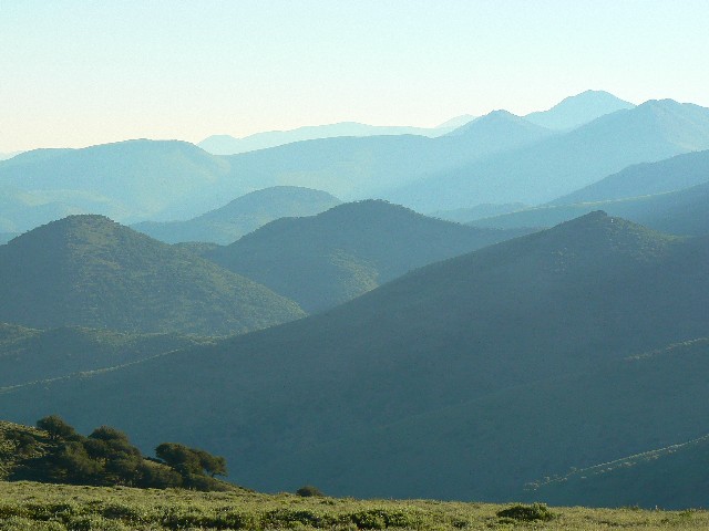
I lean against my empty pack propped against a fragrant sage and look over the cow-burnt foreground to a rippling sea of ridges and mountains. Unsociable Toiyabe Moose scamper from the immediate area, leaving me to the wind and vista. Rays of low-angle sun crease the folds. Purple majesty! Marvelous.
|
|---|
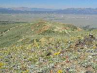
Day 4 an ocean of Toiyabes
(Click the image for a full-size view)
|
|---|
|
|---|
pygmy bitterroot
(Click the image for a full-size view)
|
|---|
|
|
|---|
multiple abuse at Ophir
(Click the image for a full-size view)
|
|---|
|
|
|---|
multiple abuse at Ophir
(Click the image for a full-size view)
|
|---|
|
|
|---|
multiple abuse at Ophir
(Click the image for a full-size view)
|
|---|
|
|
|---|
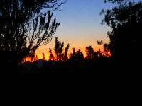
an inferno of sunset
(Click the image for a full-size view)
|
|---|
|
There are more photos with each day of narrative...
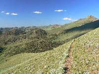
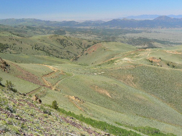
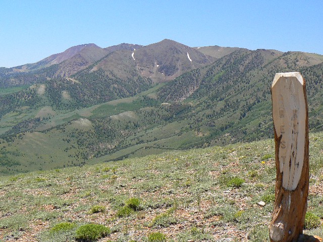
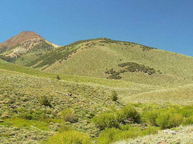
Day 4: Peregrine Peak Poke: Mohawk Pass to South of Peak 10,375': 9.1 miles, up 4307', down 2524'; ERM = 22. Camp at 10,100'
The bullet of talons and feathers darts past so quickly I hear wind rippling as it passes while I plod through this high pass on the TC. The avian javelin flicks its wings into a sharp chevron and I see it. Peregrine! Faster than a speeding bullet? Almost.
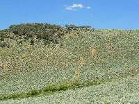
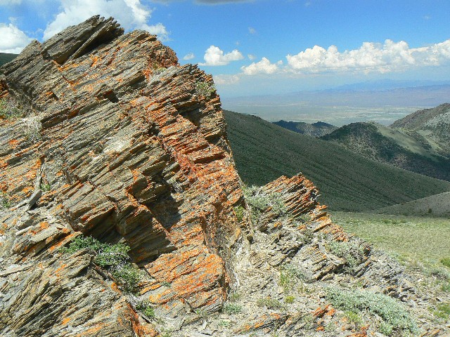
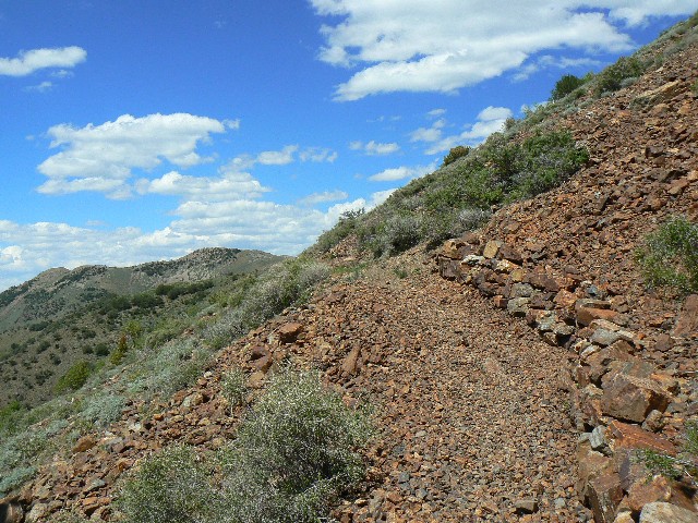
So far today, I've climbed around and nearly over some of these high Toiyabe bumps. After four miles, I arrive at the miner desecration of our public lands. ORVs add insult to the carnage. Ophir Summit. Horrendous scaring and rape.
Then, I ease into the Arc Dome Wilderness and continue contouring and climbing of the knobs, past the route to North Twin via Werdenhoff Pasture. Another 5 miles and I am looking for the fabled camp near Peak 10,375, and it's the water I seek as well as a respite from the vigorous wind. I find the area, replete with a tiny, clear spring. Delightful. My water filter issues continue and the cold descends quickly as I try to make it operational.
My narrow view down this Limber Pine-choked draw explodes into an inferno of red and magenta. Gloriosa! Perhaps there's a range fire about?
I have yet to see other people since leaving Kingston TH. Tempted by Toiyabe? Solitude.
|
|---|
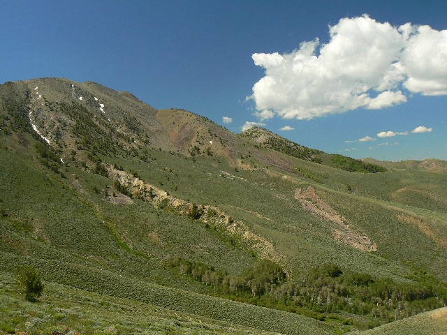
Day 5 - Approaching big peaks
(Click the image for a full-size view)
|
|---|
|
|---|
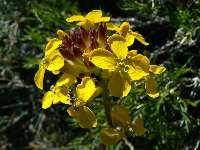
Day 5 - wallflower
(Click the image for a full-size view)
|
|---|
|
|
|---|
tundra time in Toiyabes
(Click the image for a full-size view)
|
|---|
|
|
|---|
tundra time in Toiyabes
(Click the image for a full-size view)
|
|---|
|
|
|---|
tundra time in Toiyabes
(Click the image for a full-size view)
|
|---|
|
|
|---|
composite
(Click the image for a full-size view)
|
|---|
|

|
|---|
Paintbrush
(Click the image for a full-size view)
|
|---|
|
|
|---|
Into Sawmill
(Click the image for a full-size view)
|
|---|
|
|
|---|
Gentian
(Click the image for a full-size view)
|
|---|
|
|
|---|
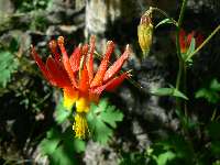
Columbine
(Click the image for a full-size view)
|
|---|
|

|
|---|
Rock and Aspen
(Click the image for a full-size view)
|
|---|
|
|
|---|
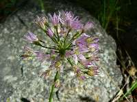
Hooker Onion
(Click the image for a full-size view)
|
|---|
|
|
|---|
Ms. Beaver
(Click the image for a full-size view)
|
|---|
|
|
|---|
Ms. Beaver
(Click the image for a full-size view)
|
|---|
|
|
|---|
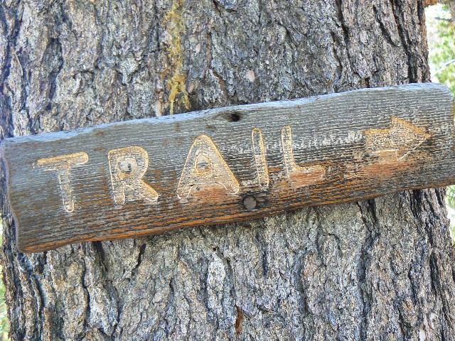
Trail, for now
(Click the image for a full-size view)
|
|---|
|
There are more photos with each day of narrative...
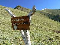
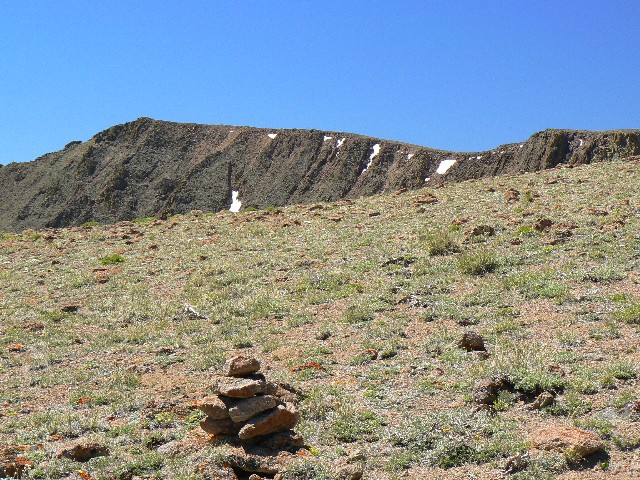
Day 5: Sawmill Downer: Crest to Reese River/Sawmill Junction: 11 miles, up 2667', down 4439'; ERM = 25. Camp at 7600'.
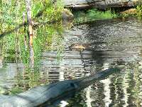
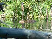
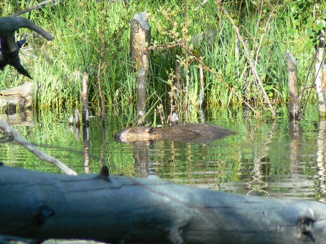
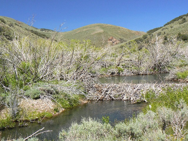
I'm attempting to tip-toe between the thicket of young Aspen and the pond encroaching on what passes for a trail in this Toiyabe Country - when I notice large rings of waves undulating across the pond. I freeze. What has made these deep waves? An Orca? No - there she is, Ms. Beaver, hair slicked back and repairing the dam that flooded the "trail." A shy beaver, I try for a photo as she rolls under water.
I started the day cruising the TC in a busy wind, passing one of the Stewart trails and the Trail 2028, which I hiked in 2007 on the way to Arc Dome
(see the report here -- Arcdom: Terrific Toiyabe; Arc Dome Wilderness:
North-South Twin Rivers Loop (2007). Then, onto the tundra-like steps to Arc Dome junction. Hiding from the piercing wind behind my pack and a large cairn, I consider hiking Arc Dome. Naw - I've already been on the Dome and the wind is cold and insistent and the trail below long and brush-filled.
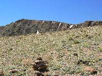
Note to map readers - there is a somewhat confusing series of large cairns marking the route to Arc Dome from the tundra flats along the TC Trail. There are two routes, one starting higher on the flats, the East route on the map. The routes converge in a short distance, into one prominent route to Arc Dome from this vantage. This is basically a "Y" junction.
The drop into Sawmill is dramatic for the first several miles. And, the trail visible, then invisible - where my feet feel for the tread and I imagine a trail. Lovely water, starting from the spring near the small meadow by the South Stewart Creek Trail. Tunnels of Aspen contrast with open slopes, some steep. Lots of elevation loss.
Imagination rules the world. Napolean
Bonaparte
I throw together the camp because the slow progress today makes it a late arrival. The chill slumps in and it's again cool, despite the lower altitude. Colder than on high.
Day 6 photos **********************

|
|---|
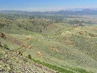
Day 6 - Reese River
(Click the image for a full-size view)
|
|---|
|
|---|
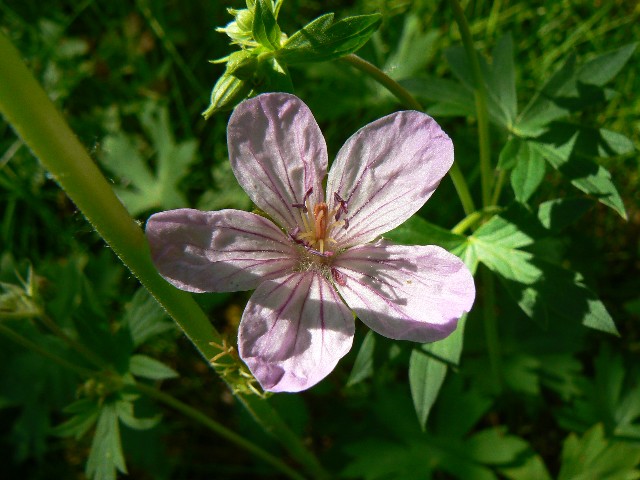
Day 6 - Sticky Geranium
(Click the image for a full-size view)
|
|---|
|
|
|---|
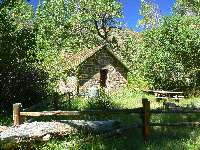
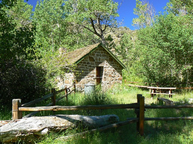
Stone Cabin
(Click the image for a full-size view)
|
|---|
|
|
|---|
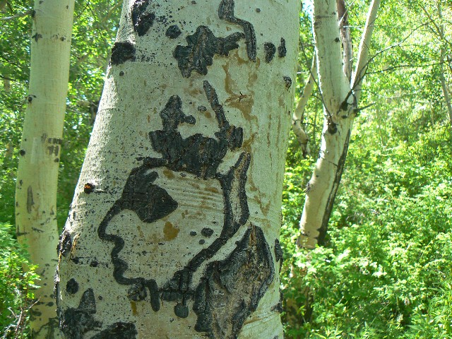
Stone Cabin artwork
(Click the image for a full-size view)
|
|---|
|
|
|---|
Stone Cabin Scenic Toilet
(Click the image for a full-size view)
|
|---|
|
|
|---|
Reese River beaver sign
(Click the image for a full-size view)
|
|---|
|
|
|---|
Arc Dome from the SE
(Click the image for a full-size view)
|
|---|
|
|
|---|
Monks' Hood
(Click the image for a full-size view)
|
|---|
|
|
|---|
Reese Drainage from pass to S Twin
(Click the image for a full-size view)
|
|---|
|
There are more photos with each day of narrative...
Day 6: Ranging Reese: Sawmill/Reese junction to Top Fork of South Twin: 11 miles, 2135 up, 1353 down. ERM = 18. Camp at 8800'.
Sun finally arrives on the golden billows of eroded volcanics, the pillows bordering the Sawmill/Reese junction. I'm swirling the coiled hose from the platypus (drinking system) in the warm water left over from morning tea. Frozen. And, there's frost dissipating from the tarp tent. Remember to blow the water back out of the hose and into the reservoir when camped in a low spot below towering Toiyabes. I know it's time to leave camp when a few feeble mosquitoes venture out to meet the day.
Beavers, old and new, have been busy along the Reese River. Ponds and flats - nature's flood control. And, it's all lovely except when the "trail" crosses through one of these ponds.
I get a late start after allowing the sun to melt the frost off the tarp tent. It's another brush-beater day through parts of the "trail." And, what did Mark Twain write about the Reese River (was it the Reese River)? Only in Nevada would this or the North or South Twin be called a "river."
Rolling hills, the low point of the trip. Meadows. Sage. I pause and visit the Stone Cabin and the lush compound and note other possible camps along the way. One camp features a canvas lawn chair, looking forlorn as if waiting for a visitor. Not many visitors here. Maybe hunters? Fishermen? Toiyabe Moose? None today.
I drone over the low pass separating the Reese River from South Twin River and drop into thick grasses and old Aspen.
I camp in a tributary of S Twin that is apparently the direct route from the East side to Arc Dome, the uppermost tributary of S. Twin. A vague trail leads up, yet I stop at a tiny conifer-covered camp area because my feet are worn and blisters are budding. (New boots - my well-fitting boots blew out just prior to this trip -- quality a casualty of globalization.) It cools rapidly and I experiment with cooking pasta on the Caldera alcohol stove. It works well too.
|
|---|
Day 7 - Pass on S Twin side
(Click the image for a full-size view)
|
|---|
|
|---|
Day 7 - Garden Path
(Click the image for a full-size view)
|
|---|
|
|
|---|
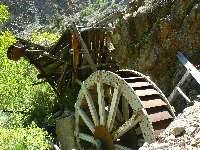
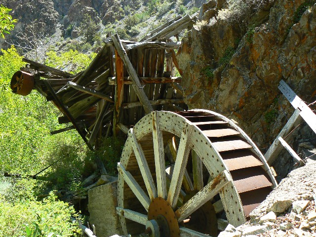
S Twin Wheel
(Click the image for a full-size view)
|
|---|
|
|
|---|
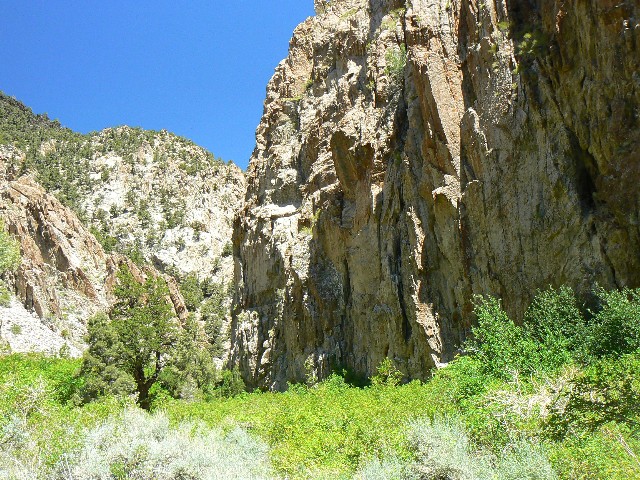
Narrows of S Twin
(Click the image for a full-size view)
|
|---|
|
|
|---|
Bye to the Arc Dome
(Click the image for a full-size view)
|
|---|
|
|
|---|
Hoover Dam Scenic Toilet
(Click the image for a full-size view)
|
|---|
|
Day 7: Toiyabe TH Thrash. S. Twin tributary to S. Twin TH: 7.7 miles, up 580', down 2627'; ERM = 14. TH at 6200'. Total trip miles = 71; total ERM = 137. Far different from the erroneous figures by Bruce Grubbs (a highly inadequate and inaccurate book, Hiking Nevada).
I recline against my empty backpack, propped against a vigorous Limber Pine, feet warming in the early morning clear sunshine and gazing at the wildflower-infested slope that starts a few feet away; and over to the East, where the mountain looks like a balding man - denuded top, with a fringe of Mountain Mahogany and Aspen on the side slopes. And I wonder - what possible good future can there be for a culture that allows and encourages its precious public lands to be sacrificed to extraction and commodity special interests, terrorist-supporting mechanized wreckreation (ORVs), and benign neglect too? Where the electronic cocaine of the video game ilk and
unbridled population growth (click here for article)
spell doom for all species? In wilderness is the future of the world.
Two deer encounter me lounging in the trail, clatter up the slope and pause to look - my companions for the morning. I enjoy my big back yard. Corrections to public land abuse will not happen because they are politically not popular. Stewardship? No. Perhaps, as sarah palin has proven "Anything too stupid to say is sung" (Voltaire, 1694-1778). I trust we will continue to hear lots of singing from the republican party, sanford and sin, sarah-naura, cheney and tunes from the dark side, bushco and the gut the constitution song.... The list is seemingly endless. Hypocrisy galore.
I roll on down South Twin River, thrashing through the wild roses and aspens and fording, again and again, S. Twin. I surmount the final hill and look down on the vacant TH. At 1:40 p.m., I pop open the pick-up and prepare for a delightful shower. Deluxe! I will see no one from Kingston TH until I am back on Hwy 376 and rolling home. Tempting Toiyabe? Indeed!
Don't cry because it's over, smile because it happened.
Dr. Seuss
Before you criticize someone, you should walk a mile in his shoes. That way, when you criticize him, you are a mile away from him and you have his shoes.
For those who wonder how to get on the trail, listen to George for insight --The paradox of our time in history is that we have taller buildings but
shorter tempers, wider freeways, but narrower viewpoints. We spend more,
but have less, we buy more, but enjoy less. We have bigger houses and
smaller families, more conveniences, but less time. We have more
degrees but less sense, more knowledge, but less judgment, more experts,
yet more problems, more medicine, but less wellness.
George Carlin
Another perspective is--The most alarming sign of the state of our society is that our leaders have the courage to sacrifice the lives of young people in war but have not the courage to tell us that we must be less greedy and wasteful.
Wendell Berry, Farmer, Essayist, Conservationist, Novelist.
Maps
|
|
|---|
Map - NV: Toiyabe Crest; 2009; 71 miles
(Click the image to see the map)
|
|---|
|
for a full-resolution map, click here. Caution - do not use this map or gps track for
navigating the route.
Map from previous hike --->
Click here to go to my GPS route
of the 2007 Twin Rivers Loop and the day hike to Arc Dome. It
will appear as a Google map on a USGS topo background. Change the scale of the map (the "+") to
better see the route. Move around on the map with the 'hand.' Enjoy
Previous WV report
Previous report about the Arc Dome Wilderness--->
Arcdom: Terrific Toiyabe; Arc Dome Wilderness:
North-South Twin Rivers Loop (2007)
Links
Friends of Nevada Wilderness
Arc Dome
Wilderness from Wilderness.net
Austin Ranger District -
Toiyabe NF
Scenic Toilets
of Inner Earth
An open letter to Secretary Tom Vilsack
Secretary Tom Vilsack,
U.S. Department of Agriculture
1400 Independence Ave., S.W.
Washington, DC 20250
Secretary Vilsack,
I am writing to ask you to bring back the CCC (Civilian Conservation Corp) to provide proper stewardship to our precious public lands. Please direct this reconstituted CCC to repair wilderness trails, erect barriers to ORVs (Off Road Vehicles) on all public lands, and rehabilitate damage caused by rampant ORV use/abuse, trampling of riparian areas by cattle, etc. There is no valid reason to sponsor, support, or allow ORVs on public lands because of their destructive nature and their national security risk via excessive use of foreign fuels – in addition to the abuse of precious public resources.
Every public land agency in the U.S. has a huge backlog of trail and resource protection/rehabilitation projects. The CCC can help restore the old trails, many of which exist only on maps (not on the ground). The CCC can help eliminate destructive ORVs from public lands. ORVs are the quintessential single-use special interest, destroying resources while selfishly requiring taxpayers to pay for the destruction of our lands, increased health care costs, and heightened national security risk. ORVs should be banned from all public lands, and the lands rehabilitated.
Recently, I hiked the Toiyabe Crest in Nevada. While my feet could often feel the tread of the old CCC trail, it was frequently difficult to see the “trail.” This excellent historical trail is part of our heritage, and like trails in the Frank Church, the Jarbidge, the Selway-Bitterroot, and on so many other wonderful public lands, is largely represented on the map yet not on the ground. Reconstituting the CCC is a way to restore and protect precious parts of our national heritage.
In the interest of public land stewardship and national security and limiting health care costs and the decline in public health, ORVs should be banned from all public lands. Horses and mules should replace the agencies’ ORVs, and all private ORVs should be prohibited from public lands, including quads, ATVs, snow machines, personal watercraft, motorcycles, and other forms of fuel and resource abusers. U.S. citizens will be healthier (e.g., less obesity), our lands will be healthier (e.g., less erosion, less loss of fisheries, less riparian damage, less vegetation loss, less noxious weeds, less wildfire risk), and our national security will be improved (e.g., less dependence on foreign fuels) when ORV use is prohibited on all public lands. Thanks for working on this today.
I am also writing to ask you to immediately protect the lands deserving of wilderness status. For example, by withdrawing all such lands from mineral exploration or development, by prohibiting any roading, by vigorously fighting all right-of-way assertions by special interest groups, counties, or the state, and by otherwise providing good stewardship to areas serving as defacto wilderness. Executive and federal/local administration actions can and should be taken to preserve wilderness quality while politicians bluster over proper designation.
The lands surrounding the Toiyabe Crest (North section) should also be positively reconsidered for official wilderness status. Although a pitifully narrow corridor is designed to protect the Toiyabe Crest NRT, it is inadequate to provide proper stewardship to this precious ecosystem. A narrow cherry-stem through the Ophir destruction area will be needed (although not desired by me), a very narrow stem. This stem is already designated, as far as I can tell. The dust is deep and the incursions into wild areas significant from the Ophir road. The reconstituted CCC can help rehabilitate the lands providing a buffer to the heart of the potential expanded wilderness. The FS lands in the North section of the Toiyabe Range should be officially designated, and protected, as wilderness. I am aware that a short work session of trail maintenance recently occurred along the Toiyabe Crest. This is a good start, and only that, a start. Much more work is needed on the trails, etc. Yes, volunteers are helpful and most likely essential, yet this level of help is insufficient for the tasks at hand. I know, I volunteered for the FS in the Frank Church for two months (see report below).
Thanks for reactivating the CCC to rehabilitate and protect our precious national heritage in the form of wild lands. Then - start and support the process to make these wilderness designations official.
For reference, please refer to my web page about:
Two months volunteering for the U.S. Forest Service (Idaho - Frank Church RONRW):
This report - Hiking and monitoring the Toiyabe Crest National Recreation Trail:
And, we are advised to do our part in helping the Toiyabe wildlands (pdf file here)
Cordially, Rob
cc.
Steve Williams, District Ranger
Austin-Tonopah RD
P.O. Box 130
Austin, NV 89310
swilliams01@fs.fed.us
Edward Monnig, Forest Supervisor
Humboldt-Toiyabe National Forest Supervisor's Office
1200 Franklin Way
Sparks, NV 89431
| | | | | | |


