|
|---|
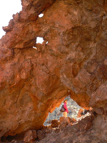
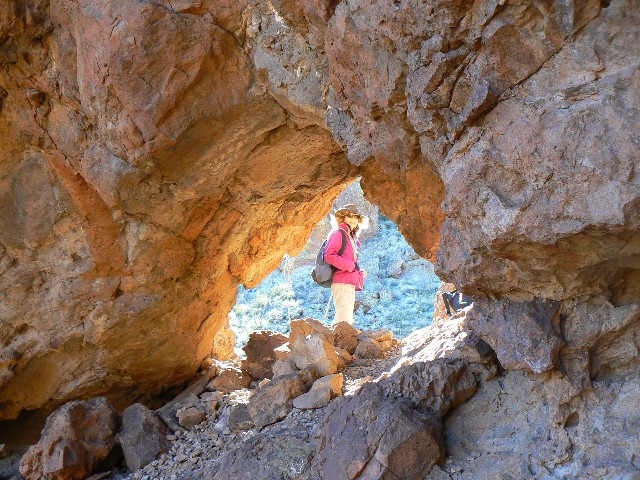
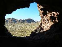
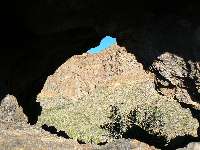
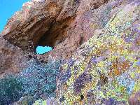
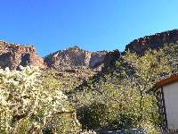
Ajo Window #2
(Click the image for a full-size view)
|
|---|
|
|---|
Ajo Window #2
(Click the image for a full-size view)
|
|---|
|

|
|---|
Ajo Window #2
(Click the image for a full-size view)
|
|---|
|
|
|---|
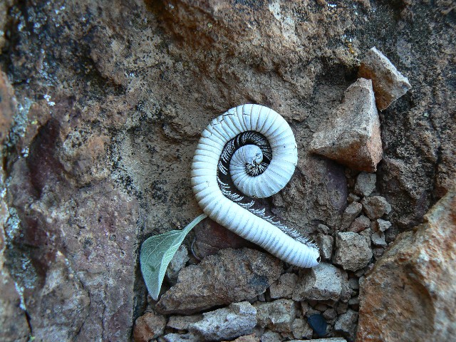
Bug
(Click the image for a full-size view)
|
|---|
|
|
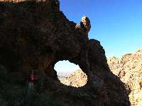
|---|
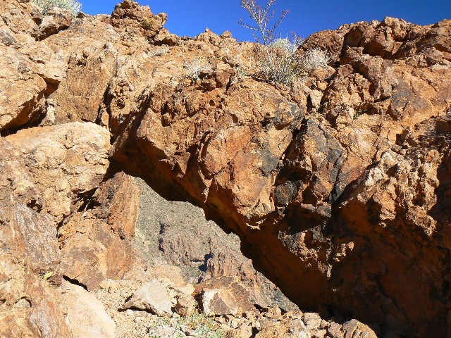
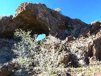
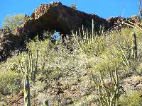
Ajo Frog Eye Arch
(Click the image for a full-size view)
|
|---|
|
|
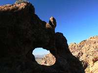
|---|
Ajo Frog Eye Arch
(Click the image for a full-size view)
|
|---|
|
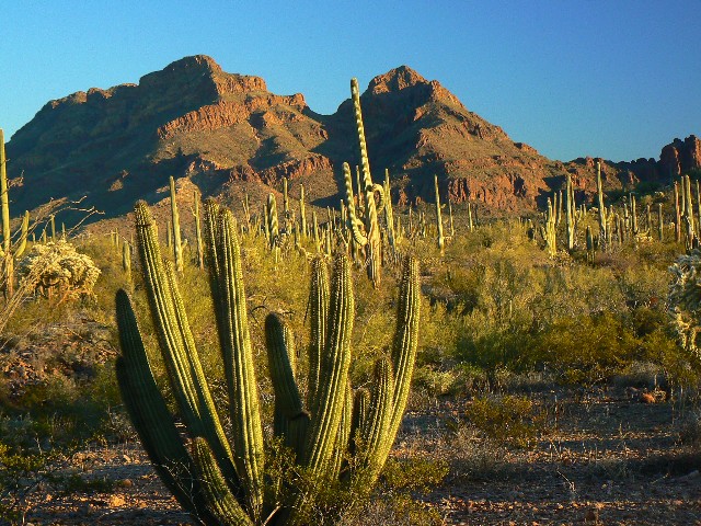
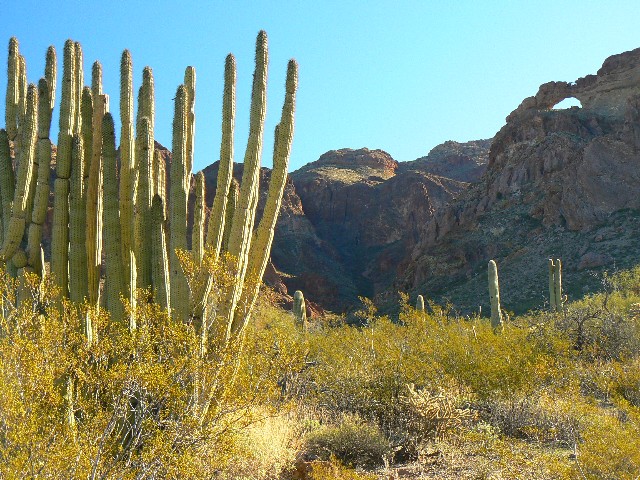
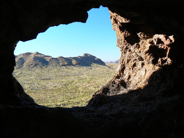
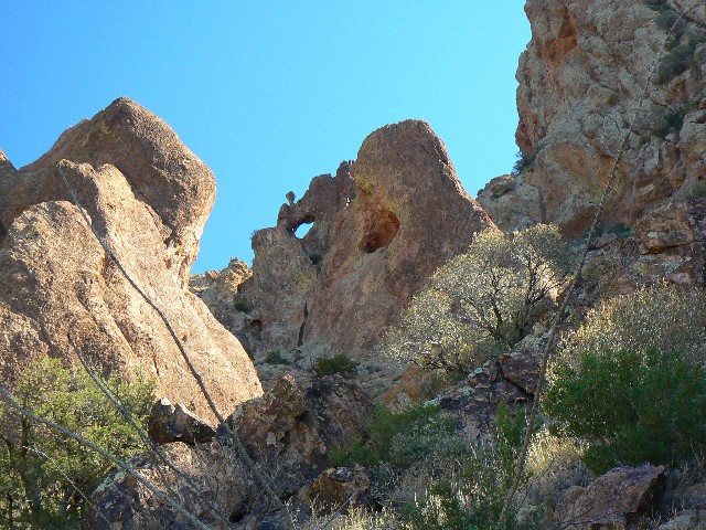
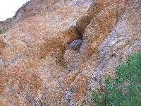
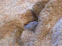
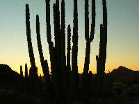
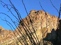
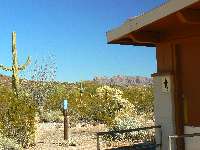
Day 1 & 2: Arch Canyon - Ajo Double Window! Ajo Window #2:
4 miles, 10 ERM.
The double arch creeps into view below, back down
toward Arch Canyon, as viewed from our perch on the low ridge above. Finally, we see a
route down to the large opening. We are up about 1200' or so above the Ajo Mountain Loop
Road, and soon we have walked through the large window and are enjoying lunch on the other
side - with an excellent backdrop of the double Ajo Window.
Saturnalia -The festival of Saturn, celebrated in
December, originally during one day, but afterward during seven days, as a period of
unrestrained license and merriment for all classes, extending even to the slaves. And
bushco has made us slaves to the uberwealthy, most of us, imagine that, for there is no
celebration except for the end of bushco, and for the wild climes of Organ Pipe Cactus NM.
For the most exciting aspects of Saturnalia, ask Kathleen.
We drove down yesterday, escaping Northern Arizona
and the 7F morning and tremendous piles of snow - taller than Kathleen on both sides of the
driveway.
It was cool here this morning as well, and I started
off in with my warm fuzzy hat, long-sleeve pile shirt and a wind shirt. By afternoon,
t-shirt weather was briefly enjoyed before the evening coolness rapidly set in.
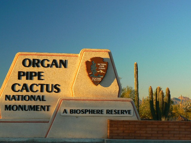
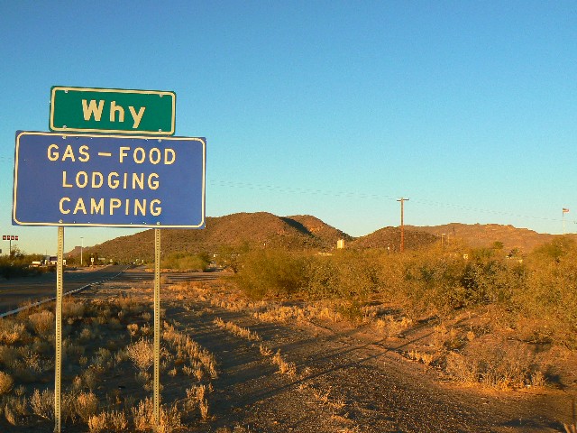
We could be staying in the NM campground, but
instead we are in Ajo, a name apparently derived from garlic. Those interested might
make some other pronunciation variations to the word, A-jo, A-ho, etc. The NM CG reportedly
has 203 sites, of which as many as 180 once filled - not so anymore, Betty the Rangerette
told me "demographics have changed and with those huge RVs that can park anywhere - well,
they just park on the BLM (Bureau of Lazy Mismanagement) land and stay there as long as
they wish." With the population crush and the concomitant soaring energy demands we may
finally see the end of the winnehogo. One can hope. The roadways may again be safe for
the bicycle tourist and we may all breath easier.
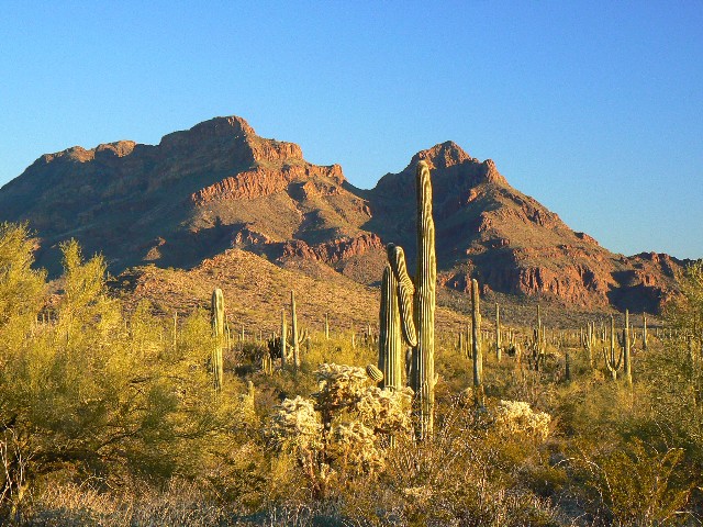
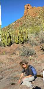
One drives the one-way Ajo Mountain Loop of about
20 miles starting directly across Hwy 85 from the NM Visitor Center. We had borrowed the
driving guide, and learned quite a bit about the Sonoran Desert, one of the four major
deserts of the basin and range country. It is fortunate to have two seasons of rain, the
desert staple of Summer thunderstorms and the Winter more steady rains, hence the flourish
of vegetation. Navajos would call them the male rains and the female rains. John McPhee
would love this drive, and may have taken it when researching for his "Basin and Range" book.
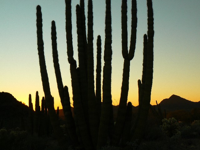
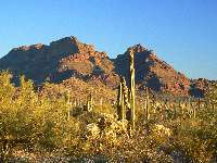
Stately Organ Pipe and Saguaro and Teddy Bear Cholla, and Evergreen Prickly Pear Cactus
abound. There is lots of Creosote Brush, Mexican Jumping Bean, and Jojoba. Ocotillo too.
All sorts of plants we rarely see. In some small overhangs near the arch, Club Moss and
what appear to be two different ferns are still green and soaking up the Winter rains.


|
|---|
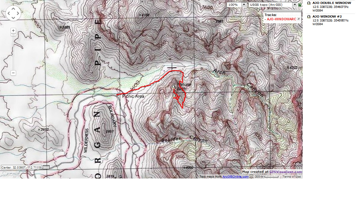
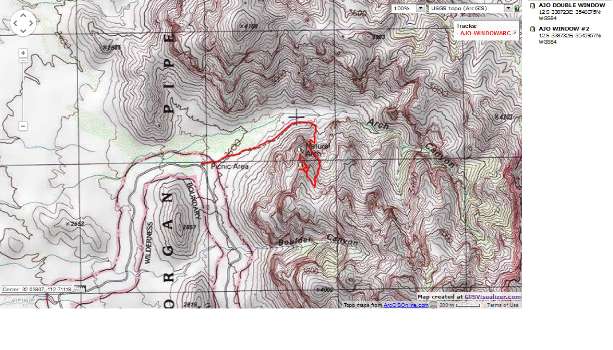
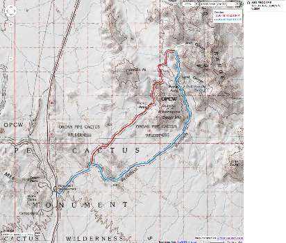
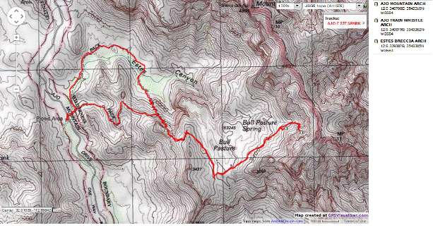
Map - Organ Pipe: Ajo Double Window; 2008; 4 miles
(Click the image to see the map)
|
|---|
|
|
|---|
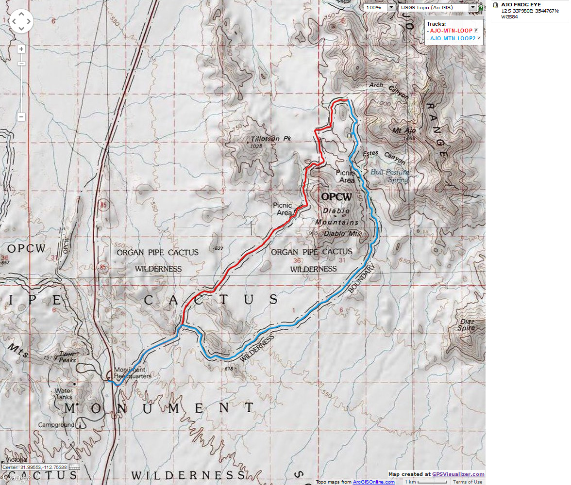
Map - Organ Pipe: loop road - frog eye arch; 2008
(Click the image to see the map)
|
|---|
|

|
|---|
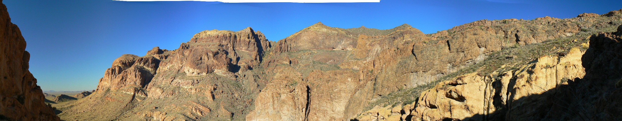
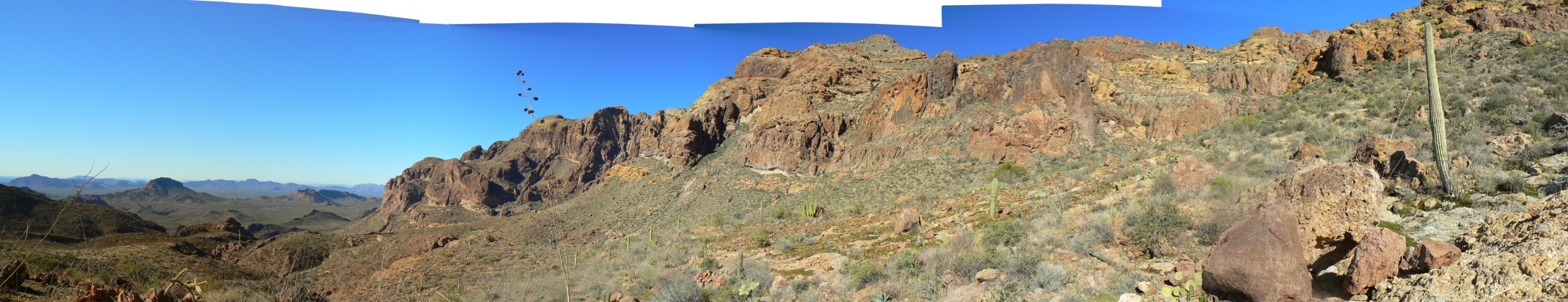
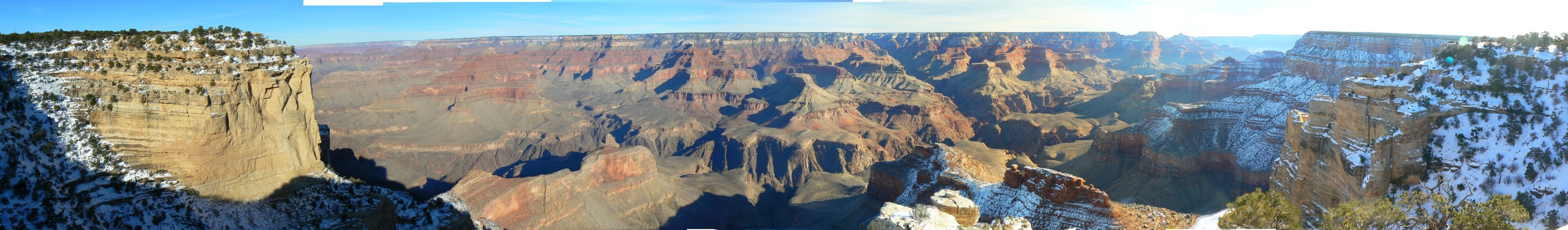
Pano- Bull Pasture and Ajo Mountain Arch (R side)
(Image is very wide - scroll to view it all (2516 x 485; 428kb) - Click
the image for the full-size image)
|
|---|
|
|
|---|
Ajo Frog Eye Arch
(Click the image for a full-size view)
|
|---|
|
|---|
Ajo Frog Eye Arch
(Click the image)
|
|---|
|
|
|---|
ajo loop dusk1
(Click the image for a full-size view)
|
|---|
|

|
|---|
ajo loop dusk2
(Click the image)
|
|---|
|
|
|---|
Estes Breccia Arch
(Click the image for a full-size view)
|
|---|
|
|
|---|
Estes Breccia Arch
(Click the image for a full-size view)
|
|---|
|
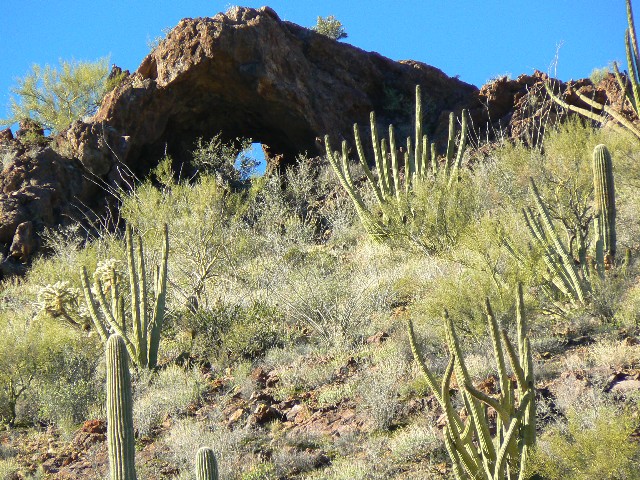
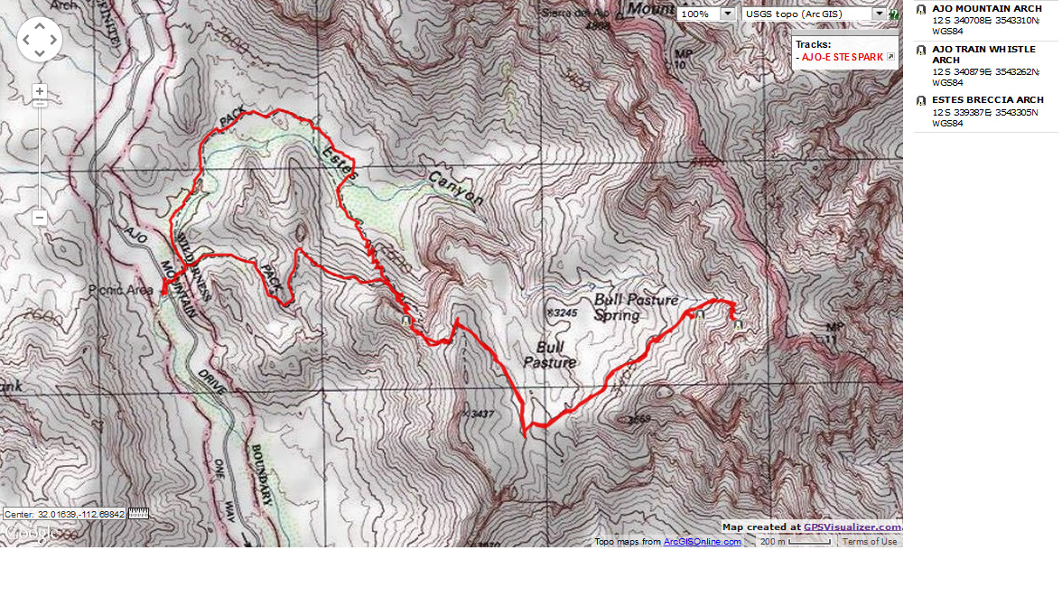
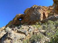
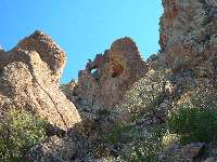
Day 3: Bull Pasture and Estes Park + toward Mount Ajo for arches.:
7+ miles, 15 ERM.
The sound of rare water tumbling, burbling fills out the
natural quiet of Bull Basin as I reach the official end of the trail. Wonderful. A whiff of
toasted garlic, for which Mount Ajo is named, would complete this gorgeous vista. We've come
up here snooping for reported arches, and receive so much more, one of the most delightful
deep desert hikes. The range of plants and terrain are impressive, zenful. The route
continues from the end of the trail, and is easy to follow as it crosses two rivulets left
over from the recent rains, draining toward Bull Pasture Spring and the burble down below.
An arch peers, and initially I believe it is sun shining on a rock ledge, but soon realize
that it's a hole through the volcanic dome. An A-jo? No, yet I do dub it Ajo Mountain Arch.
Continuing around the corner of this dome, the route goes
steeply up, and I see - yes!
Another arch. This one looks like it has a train whistle perched atop it, thus the name Ajo
Train Whistle Arch. I continue on the route and I am pleasantly surprised to come out at
the arch. Fabulous.
Looking longingly at the route continuing up toward
the Mount Ajo ridge, I feel the tug of exploration. Yet, I must return, having goofed around
taking photos of Ajo Frog Eye Arch and such.
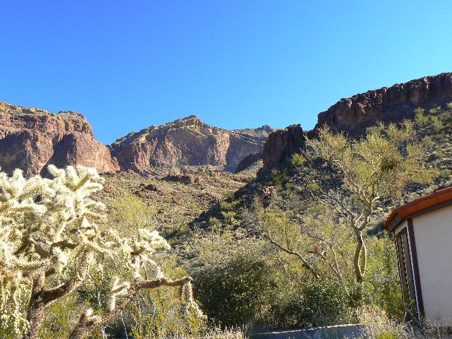
On the return, I sweep through Estes Park, and enjoy
one of the most deluxe desert strolls I have experienced - best enjoyed very early in the
morning or as the shadows settle into this bowl.
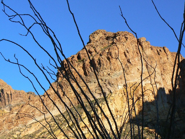
Driving the rest of the loop road, the shadows of the
sentinel Saguaros and Organ Pipe Cactuses stretch across the bajadas into the pinks of the
Ajo Mountains
|
|---|
Map - Organ Pipe: Estes Park - Bull Pasture arches; 2008; 7 miles
(Click the image to see the map)
|
|---|
|
|
|---|
Ajo Mountain Arch
(Click the image)
|
|---|
|
|---|
Ajo Mountain Arch
(Click the image for a full-size view)
|
|---|
|

|
|---|
Ajo Mountain Arch
(Click the image)
|
|---|
|
|
|---|
Ajo Train Whistle Arch
(Click the image)
|
|---|
|
|---|
Ajo Train Whistle Arch
(Click the image for a full-size view)
|
|---|
|
|
|---|
Ajo Train Whistle Arch
(Click the image)
|
|---|
|
There are - More photos below narrative.
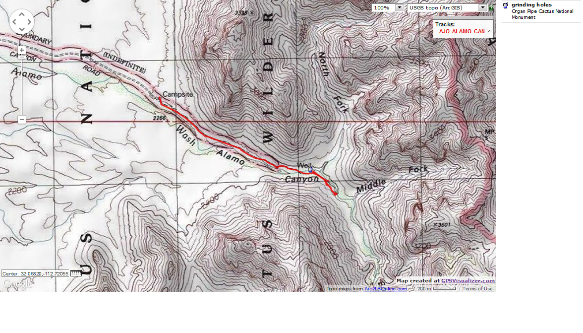
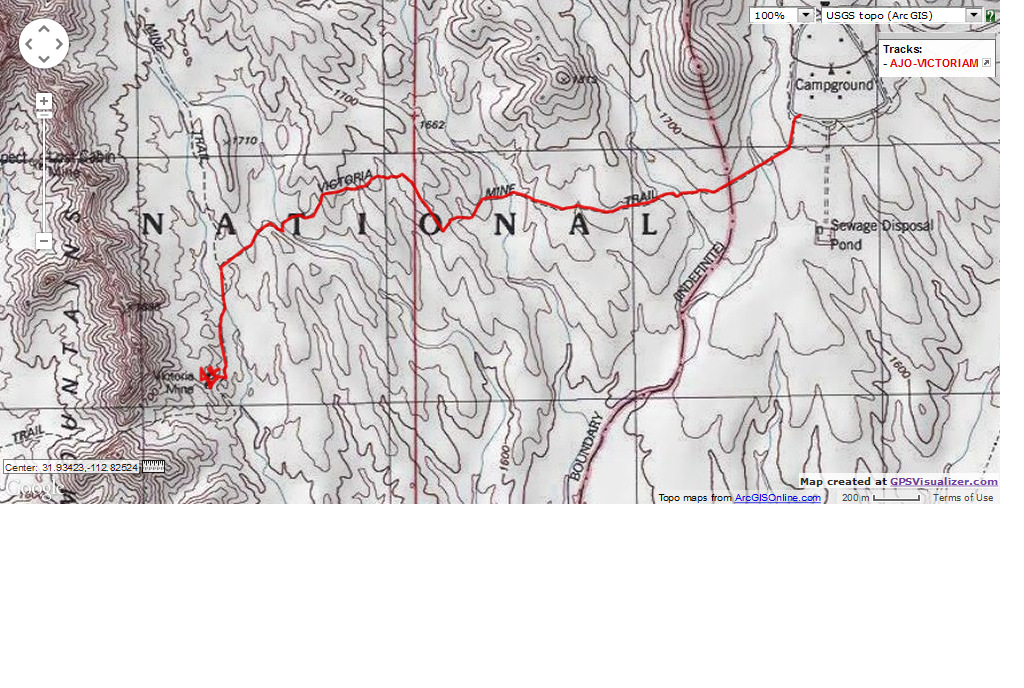
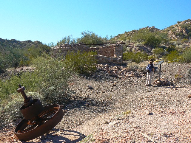
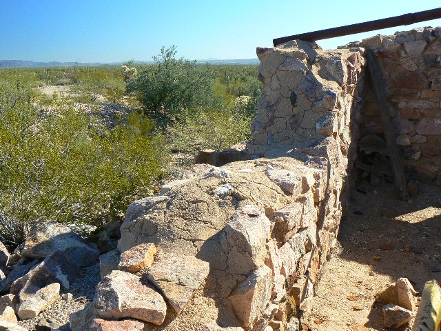
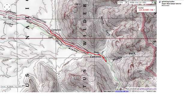
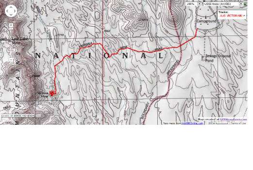
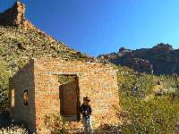
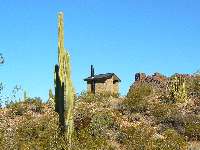
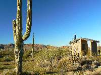
Day 4: Alamo Canyon and Victoria Mine :
total of 7 miles, 8 ERM.
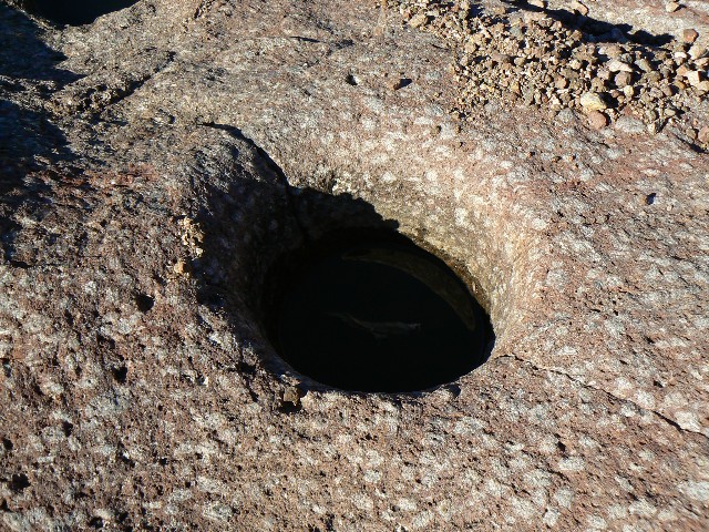
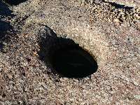
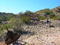
I yell a feeble "aiahha" as I complete the partial cartwheel by crashing into the
polished porphyry decorated with ancient grinding holes. I manage to keep from bouncing into
the pool of clear water, but not to keep all my skin. I had started around the pool, but one
of the boulders I stepped on squirted into the pool, where I almost went.
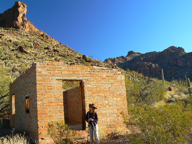
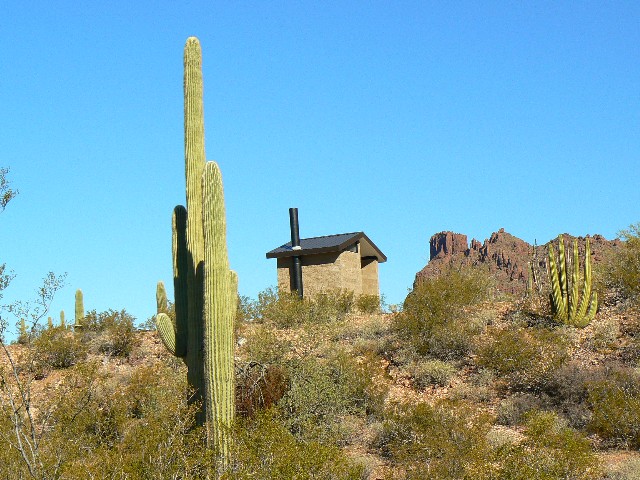
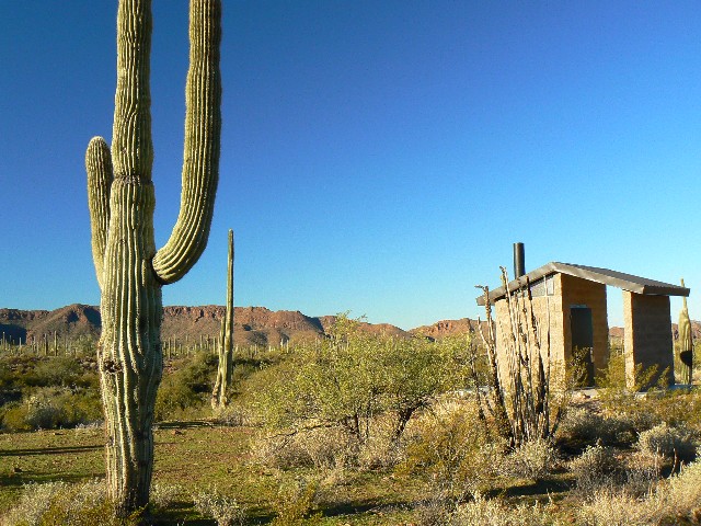
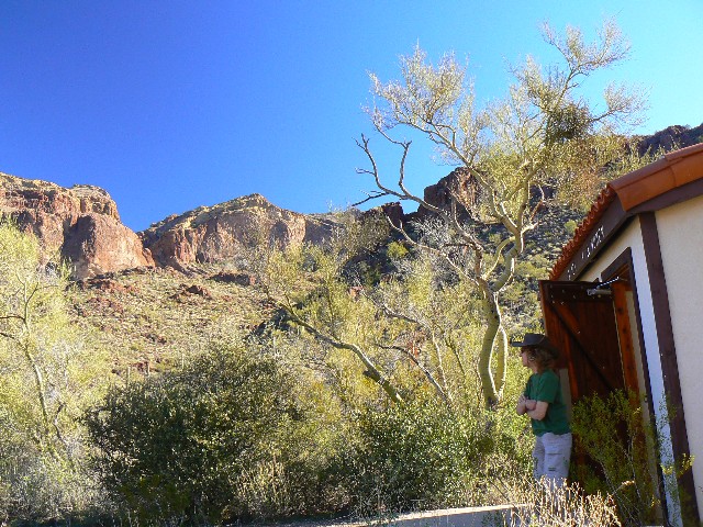
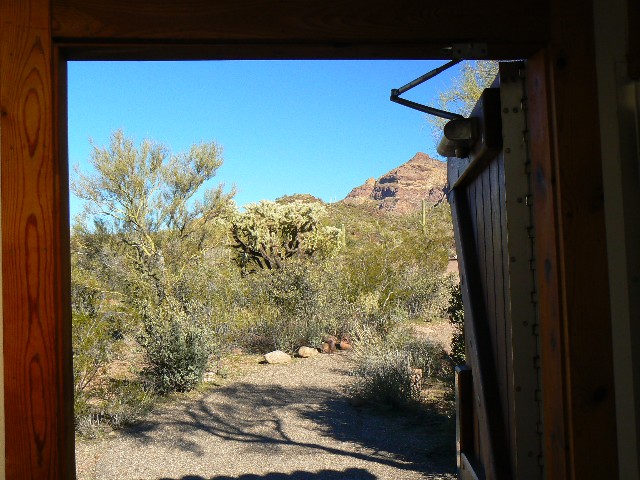
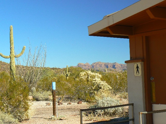
After exploring and photographing a scenic toilet, we're up
near the corral above the old house remains in Alamo Canyon,. It's a lovely day and time to
change into shorts for the first time in a couple of months.
Victoria Mine: From Alamo, which apparently means
Cottonwood (and of which there are none in the area), we drive to the NM CG and begin hiking
to the mine site. Much of the backcountry in the NM is closed because of illegal alien
activities, a shame. Immigration is a serious problem because of the high child production
from this group, a definite threat to national security. It's fairly level and quite warm as
we hike to this old silver mine. A silver mine seems incongruent with volcanics, and I find
that there are some old granites in the mountains across from the Ajos.
The miners were smart enough to build a bunkhouse
with double layer walls, filled with granulated granites - a buffer against the extreme heat
and the surprising chill.
|
|---|
Map - Organ Pipe: Alamo Can & Grinding holes
(Click the image to see the map)
|
|---|
|
|
|---|
Map - Organ Pipe: Alamo Can - Victoria Mine; 2008; 7 miles
(Click the image to see the map)
|
|---|
|
|
|---|
Ajo Train Whistle Arch
(Click the image for a full-size view)
|
|---|
|
|---|
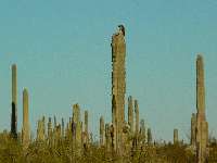
hawk on saguaro
(Click the image)
|
|---|
|
|
|---|
Organ Pipe Cactus
(Click the image for a full-size view)
|
|---|
|
|
|---|
Alamo Ranch
(Click the image)
|
|---|
|
|
|---|
Alamo Ranch
(Click the image for a full-size view)
|
|---|
|
|
|---|
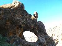
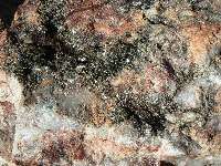
Grinding Hole
(Click the image for a full-size view)
|
|---|
|
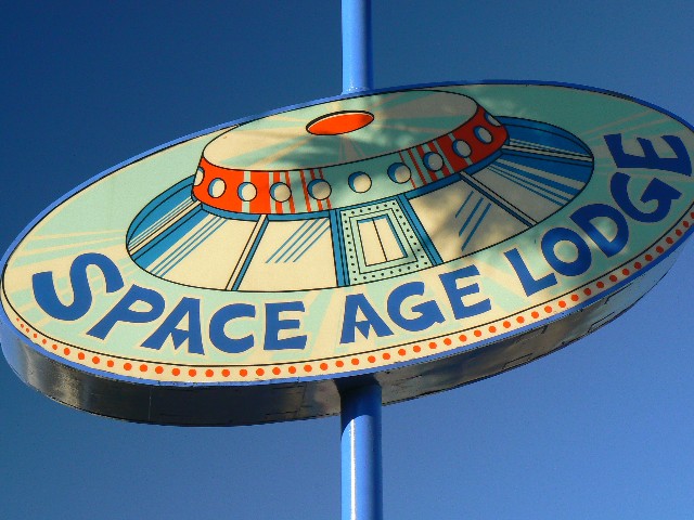
Day 5: Return to snowville.
We were up and on the road, out of A-jo and past
the Space Age Lodge, and were soon creeping through the Phoenix parking lot on I-17. Horrible
overpopulation. Such selfish people, breeding far beyond the sustainable carrying capacity of
this, our only planet. Shame. So religious.
We arrived North to clean off more ice and snow,
little had melted in our absence. Preparation of a request for another Grand Canyon permit
ensued, as did examination of the photos from the Sonoran Solstice Saturnalia.
|
|---|
Estes Park Radiance
(Click the image for a full-size view)
|
|---|
|
|---|
Estes Park Salutation
(Click the image)
|
|---|
|
|
|---|
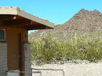
Alamo Scenic Toilet
(Click the image for a full-size view)
|
|---|
|
|
|---|
Alamo Scenic Toilet
(Click the image)
|
|---|
|
|
|---|
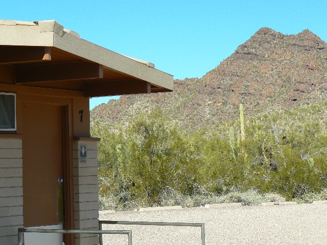
Estes Scenic Toilet
(Click the image for a full-size view)
|
|---|
|

|
|---|
Estes Scenic Toilet
(Click the image for a full-size view)
|
|---|
|
|
|---|
Panoramo - vertical - K and grinding holes
(Image is tall - scroll up-down to view it (1402 x 690; 316kb) - Click
the image for the full-size image)
|
|---|
|
|
|---|
Estes Scenic Toilet
(Click the image for a full-size view)
|
|---|
|
|---|
NM CG Scenic Toilet
(Click the image)
|
|---|
|
|
|---|
NM group CG Scenic Toilet
(Click the image for a full-size view)
|
|---|
|
|
|---|
Victoria Mine
(Click the image)
|
|---|
|

|
|---|
Victoria Mine
(Click the image for a full-size view)
|
|---|
|
|
|---|
Victoria Mine
(Click the image for a full-size view)
|
|---|
|
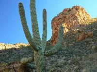
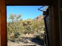
Arch directions: Ajo Double Window & Ajo Window #2:
4 miles, 10 ERM.
Today, we explored to four arches: The fantastic Ajo Double Window, and Ajo Window #2 (just
above the double window), and a Ajo Frog Eye Arch just down the road from the parking area
for Arch Canyon. Here they are:
Ajo Double Window: Drive the Ajo Mountain Loop Road,
which begins directly across Hwy 85 from the Organ Pipe Cactus NM Visitor Center. Drive this
one-way gravel loop road to Arch Canyon, about 9.1 miles along the loop. You will see the
arch before you reach the car park. Park and hike up the established trail in Arch Canyon.
Just short of a mile, the official trail ends and a rocky and steep route continues. You
circle around behind the arch as you climb up above it. Near where the route seems to
dead-end at a cliff, look to your right - this is the lumpy fin containing the double window.
Before dropping down to the level of the arch, poke into the corner near this fin and find
Ajo Window #2, which you have seen part of on your route up. Slip through the Window #2, take
the requisite photos, then backtrack a few hundred feet to a large juniper, and drop down and
contour over and through Ajo Double Window, where the best photographs can be taken from the
other side.
It's about 2 miles and 1500' up to the windows.
GPS Coordinates for the Ajo Double Window are:
12 S 338723E; 3546075N; WGS84; at about 3300' in elevation.
And for Ajo Window #2 are: 12 S 338732E; 3545957N;
WGS84; at about 3440' in elevation.
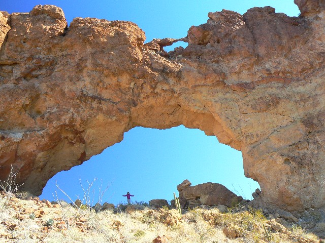
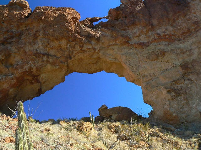
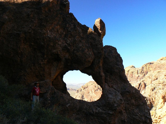
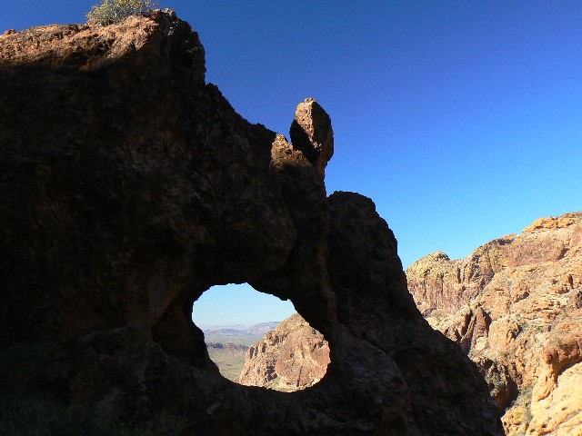
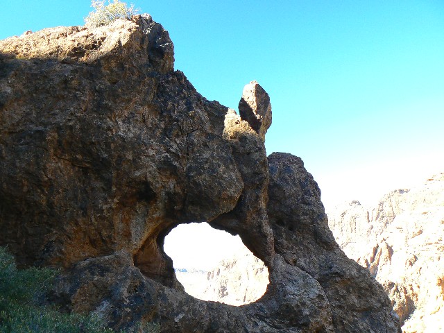
Arch directions: Ajo Frog Eye Arch:
From the Arch Canyon car park, continue along the
loop road for approx. 0.8 mile. Look to your right for the Frog Eye. It is about 0.1 mile
off the road, You can easily walk up to this arch.
GPS Coordinates for the Ajo Frog Eye Arch are:
12 S 337980E; 3544767N; WGS84; at about 2700' in elevation.
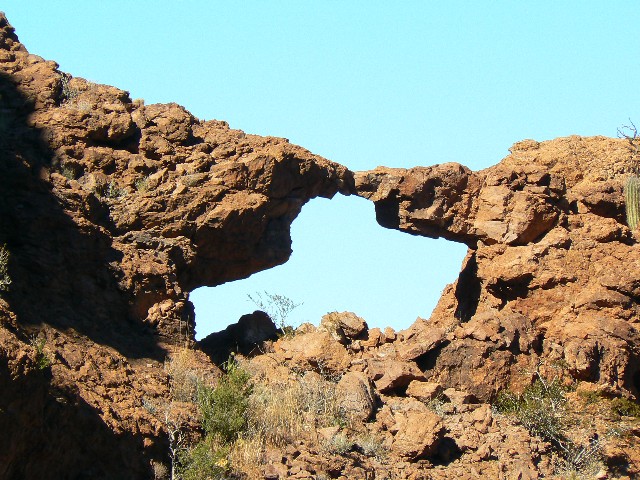
Arch directions: Ajo Mountain Arch and Ajo Train Whistle Arch, and Estes Breccia Arch:
Drive the Ajo Mountain Loop Road and park at the
Bull Pasture/Estes Park TH, which is at about mile 11 on the loop road. Hike up the Bull
Pasture Trail to where the official trail ends overlooking Bull Pasture. This is about
1.5 miles from the TH. Along the way to the Bull Pasture overlook, you pass a small arch in
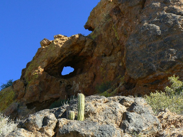
the breccia layer not long after passing the junction with the Estes Park trail. I called it
Estes Breccia Arch. It is to your right and about 20 feet above the trail.
GPS coordinates for the arch view are:
12 S 339387E; 3543305N WGS84, and is at approx. 3350' in elevation.
Continue on the well-marked route around the pasture.
It certainly looks like no pasture I have seen. As you approach where the trail turns up
toward the ridge, you will see Ajo Mountain Arch off the right side of the route in a lava
dome not far from the trail. You have hiked about three miles from the TH at this point.
The GPS coordinates for the Ajo Mountain Arch are:
12 S 340708E; 3543310N; WGS84; at approx. 3650' in elevation.
Ajo Train Whistle Arch: Continue past Ajo Mountain
Arch on the route, which turns to the right and starts to steeply ascend toward the Mount Ajo
ridge. Look up among some breccia towers to see Ajo Train Whistle Arch. Although you are
tempted to hike through the towers directly toward the arch, stay on the route which leads you
to the arch at about 3.5 miles from the TH and at GPS coordinates:
12 S 340879E; 3543262N; WGS84; at approx. 3950' in elevation.
From this arch, you can continue up to Mount Ajo,
another mile + and over a thousand feet above. When you return, the most scenic route is via
Estes Park, which contains many excellent Organ Pipe Cactus specimens.
| | | | | | |