| ||||
| ||||
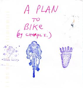
Below is Cheryl's plan for the Southern Utah Swing. Cheryl Soshnik produced this excellent draft and we ended up mostly following it. It's a big pdf file with layers of good information.
| ||||
| ||||
 |
 |
 |
 |
 |
 wutbike10 Chris and Cheryl at Edge of Cedars by Chris Winter.jpg |
 |
 |
 |
 |
 |
 |
Photos are scattered throughout this report.
Keep scrolling.
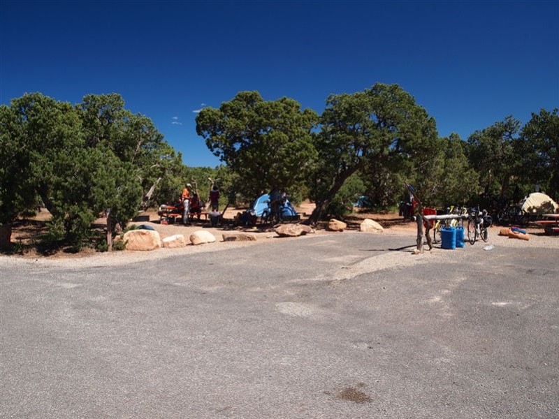
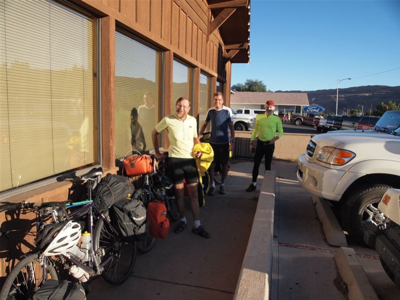
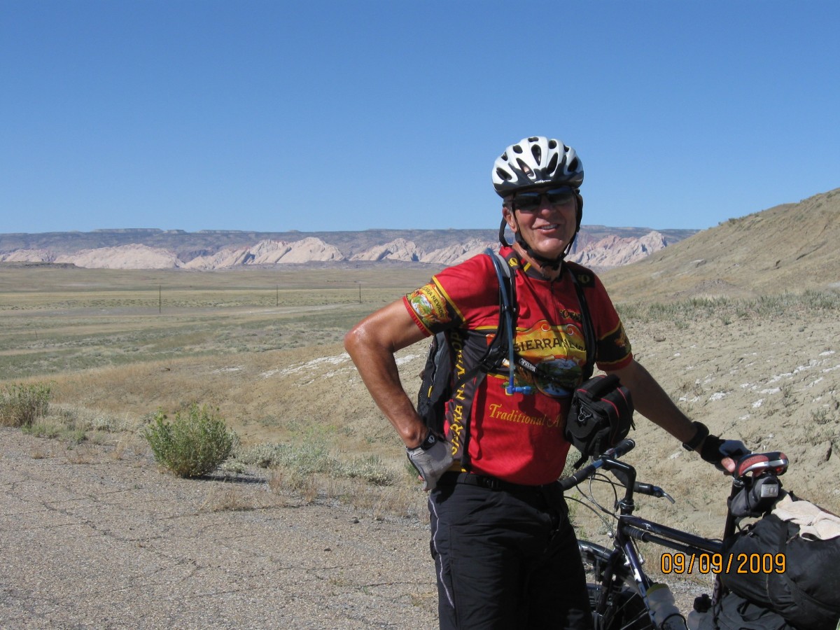
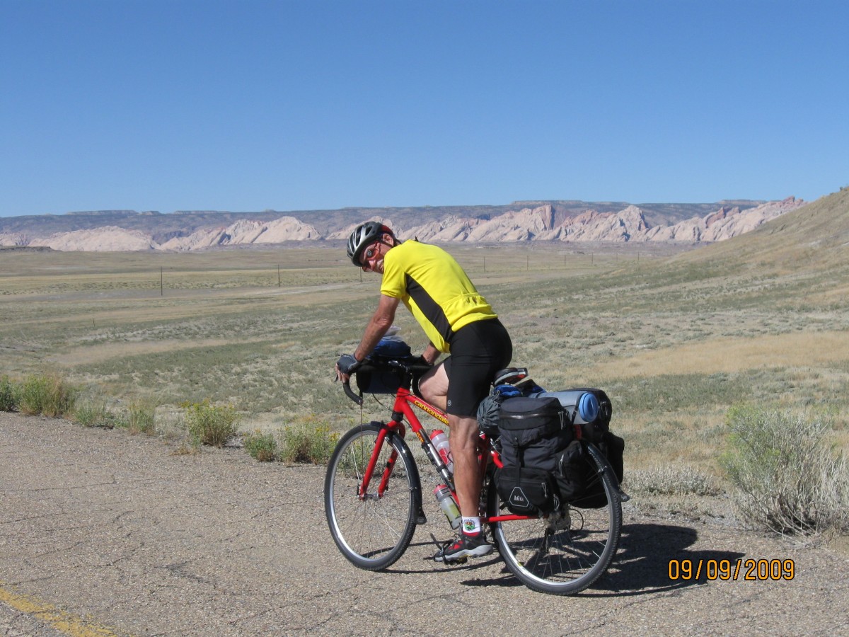
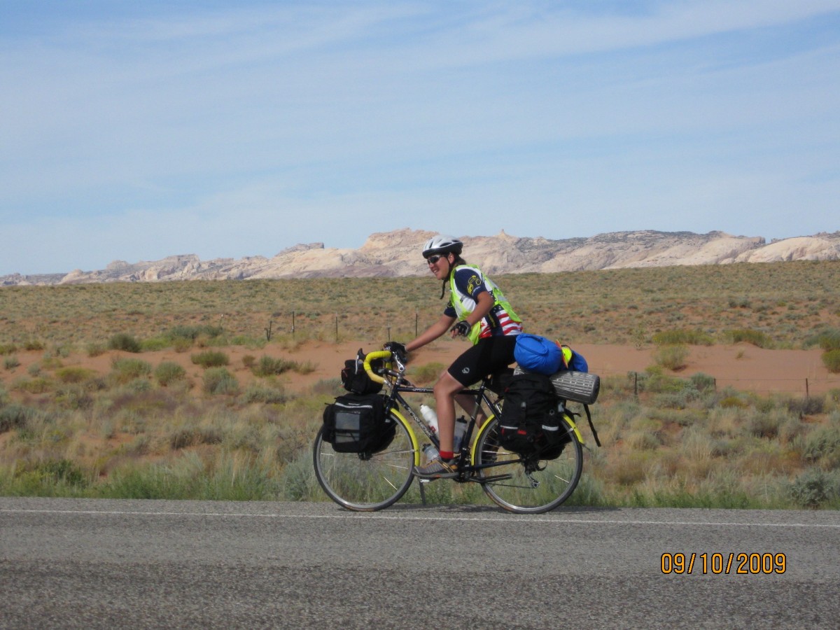
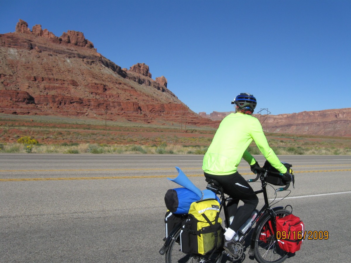
This trip was a one week self-supported camping bike tour of Southern Utah. Panniers or bike trailers were used by all participants to carry their gear, and there was limited (water only) vehicle support for the Natural Bridges section. It was about a 347 mile loop starting and ending in Green River, Utah.
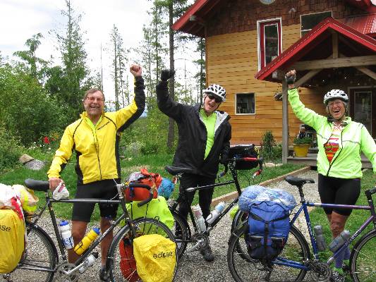
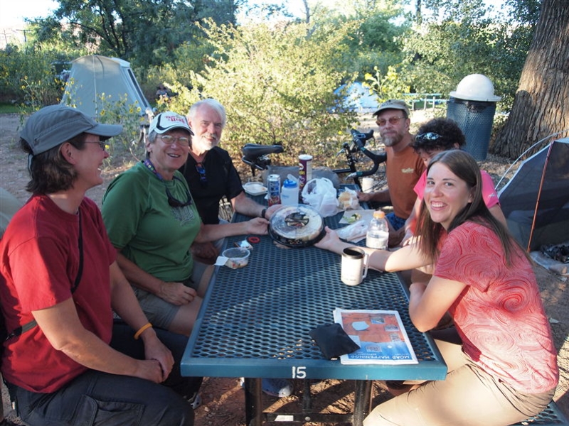
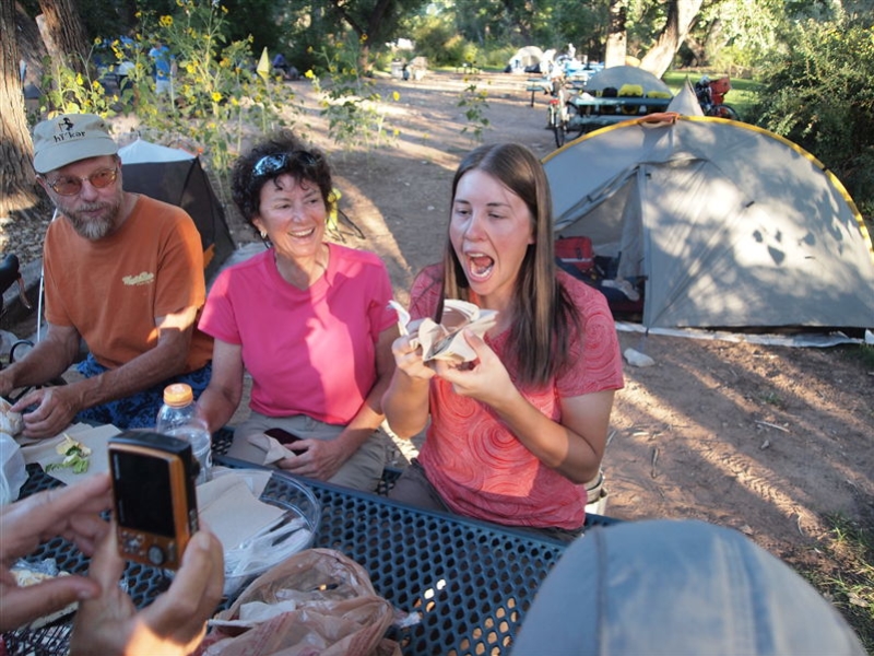
Co-riders: Cheryl Soshnik (tour organizer), Randy Burns, Rod Collins, Tricia Lee, Tiffany Mercer, Rob Paull, Dave Rumbellow, Mark Shipman, Robert Turner, Don and Angie Vincent, and Chris Winter.
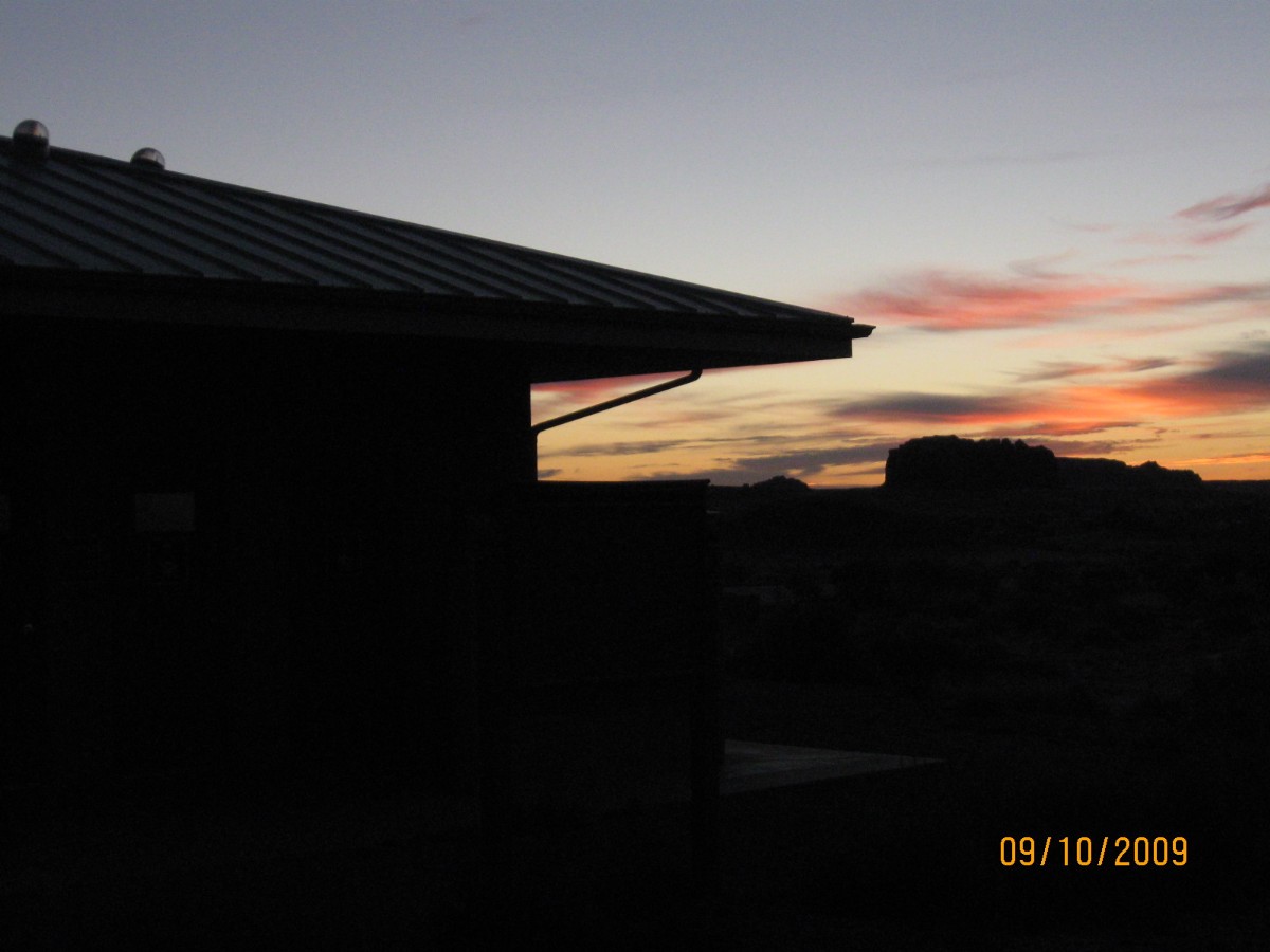
Now - on with the report, starting with ---> Prelude: Driving the reservation route to meet the group in Green River, Utah, it’s a bit of a slog and I’m still feeling tired in the afternoon from the JMT-JJ (John Muir Trail – Jaunty Juggernaut). Rendezvousing with Cheryl, Dave R., Rob P, Chris W. and others, the night quickly arrives. So does the noise pollution, cars driving round and round, a shrieking train, plopping of fountains (waste water treatment or water waster golf course?), and such. Not much, certainly not enough sleep, yet corrupted dreams of gentle touring.
Day 1: Hobgoblin Ho – to Goblin Valley State Park (SP), 50 miles.
The bulge of the valve stem thumps pavement as I groan into Goblin Valley SP.
Thump, grind, thump. Certainly, the tire is seriously flat now. It’s been a tiring low tire day grinding from
Green River to Goblin Valley, especially considering it’s a fairly light mileage day. Perhaps, once the tire is
fixed, it will be easier? Yeah, right.
Chris notes that when you are riding slower than 8 MPH, the biting and other
bugs can keep up, mobbing you as you ride. A mouth full of insects, unpleasant. Itchy nasties, more unpleasant.
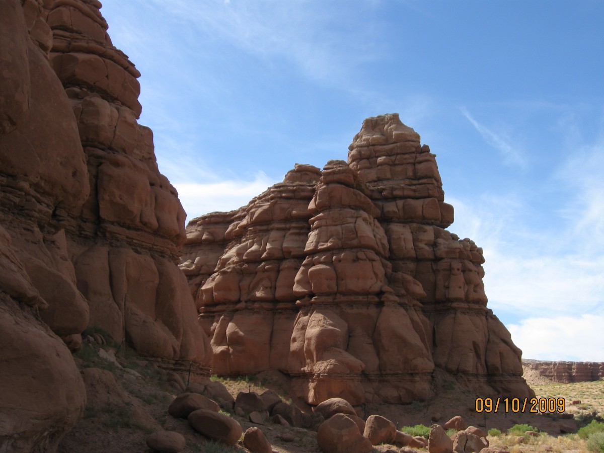
Showers and welcome shade in the mysterious haunting hoodoos, spires, and cliffs
of Goblin Valley, delightful at sunset.
Today we took the airport road and after a few miles of gravel connected to old
Hwy 24, avoiding I-70. Also, the Goblin Valley road is now paved.
Magenta layers the sky at sunset and my eyes roll like pinballs. To sleep.
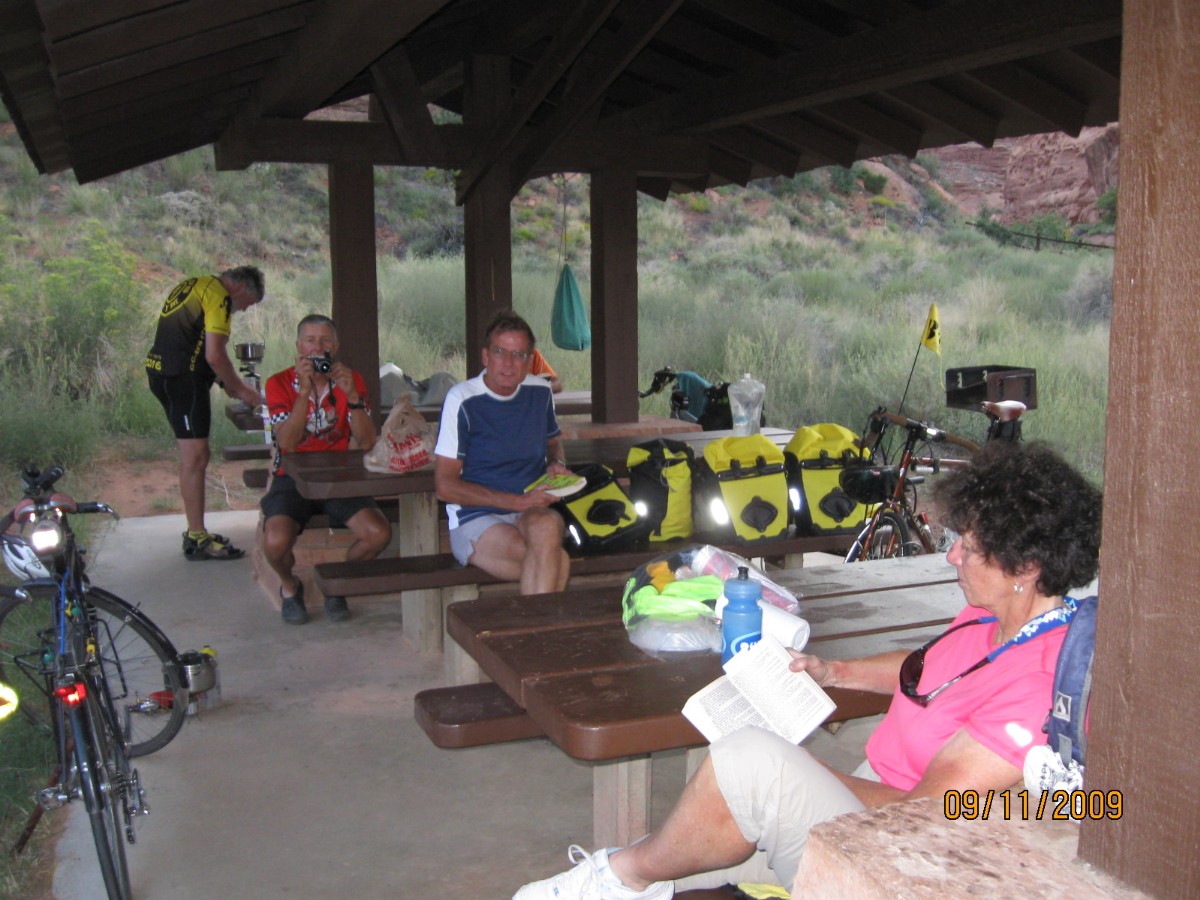
Day 2: Hog Heaven – to Hog Spring Rest Area, 66 miles.
The froggies don’t seem to mind the intrusion as I search for a pool from which
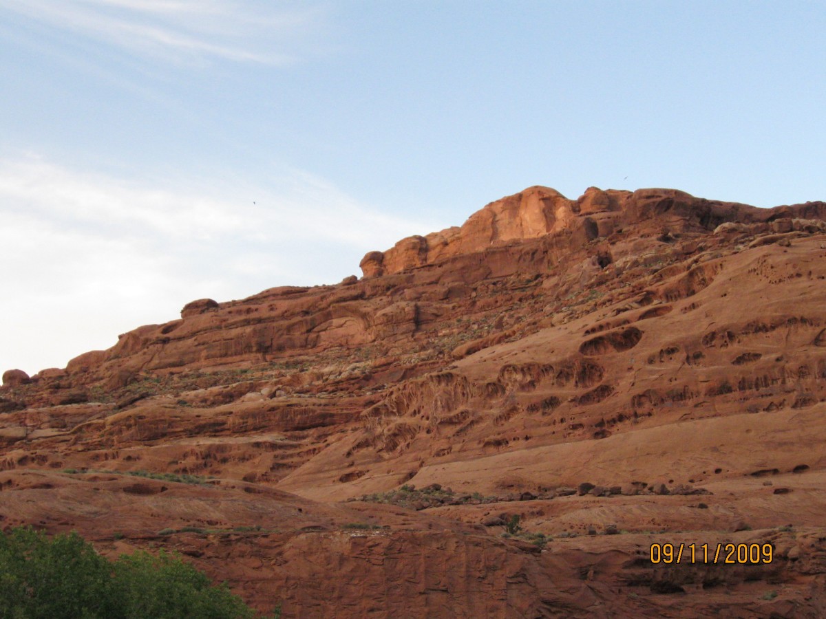
to dip wash water. Ahh – cool and refreshing. The Wingate Sandstone (SS) walls glow with pre-sunset orange as I
recount the day – up and finally rolling from Goblin Valley, cool and into the wind. High cirrus clouds seem to
predict a front change. And, a nice change after installing my 10-year old once-patched tube into the Venerable
Monster (VM; my circa 1984 Specialized Expedition distance touring bike) rear tire. Back at Hwy 24, the road turns
generally downhill and with the tail wind (!!) to Hanksville. A leisurely lunch at Hanksville is followed by a rolling
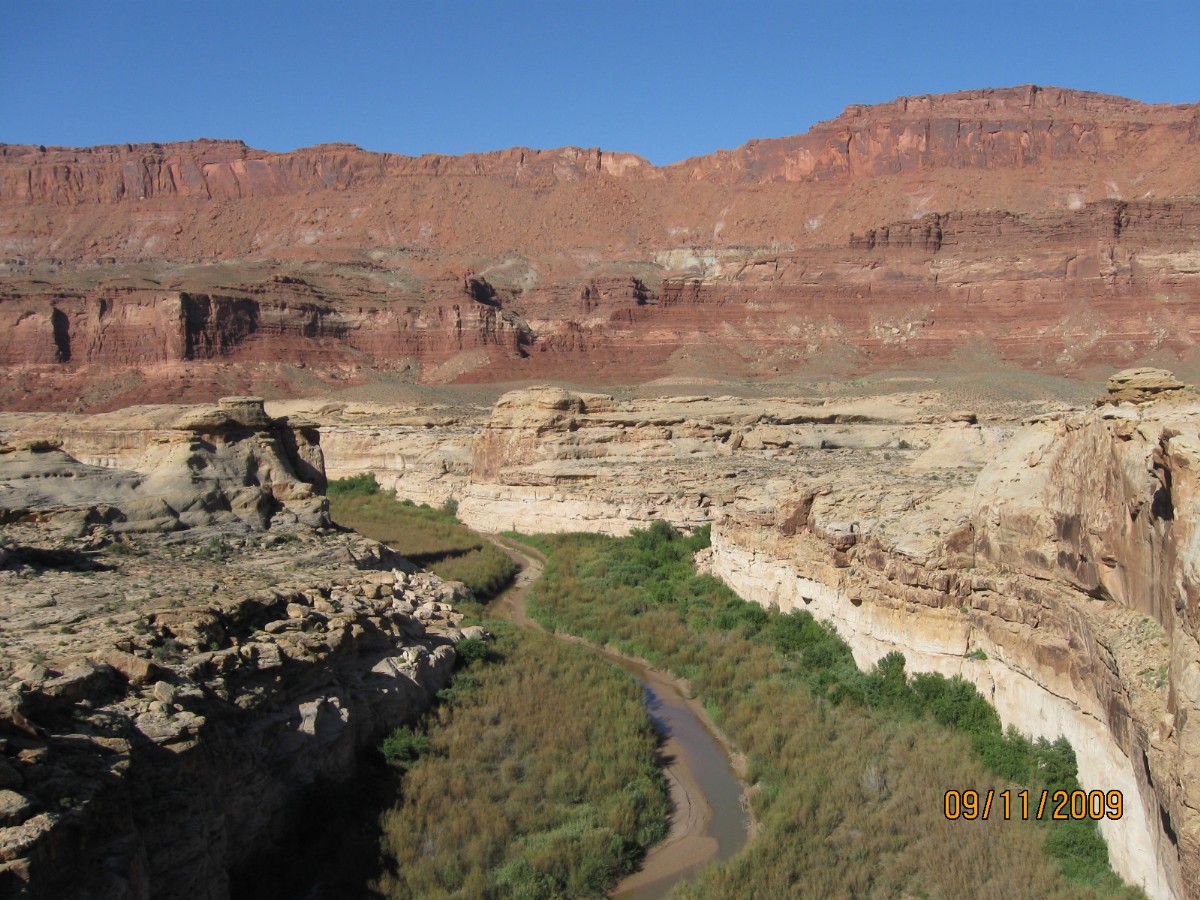
up and then a graceful, yet exhausting roll down into Darwin’s crack in the earth, deeper and deeper into what appears
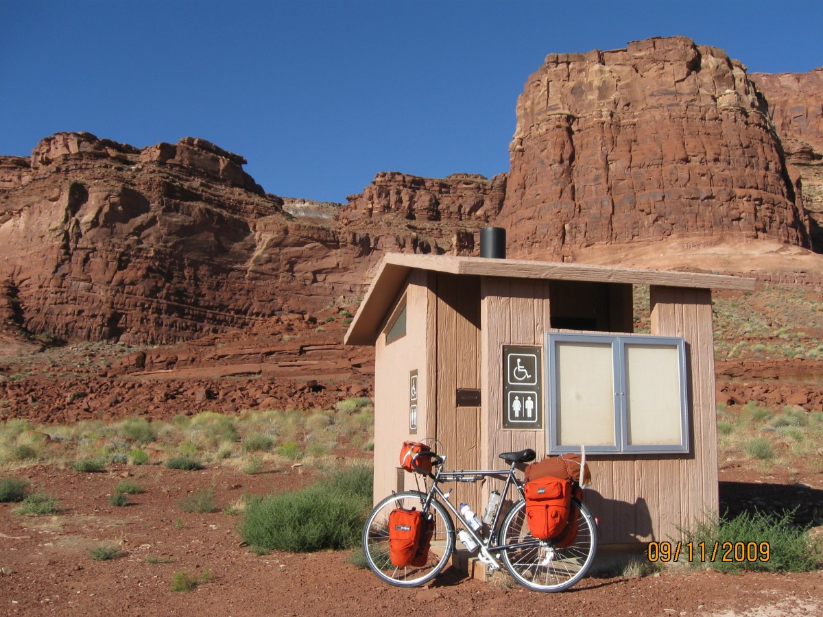
to be Kayenta SS, to Hog Springs (Hog Heaven) Rest Area at about MP (mile post) 33.5.
 |
 |
 |
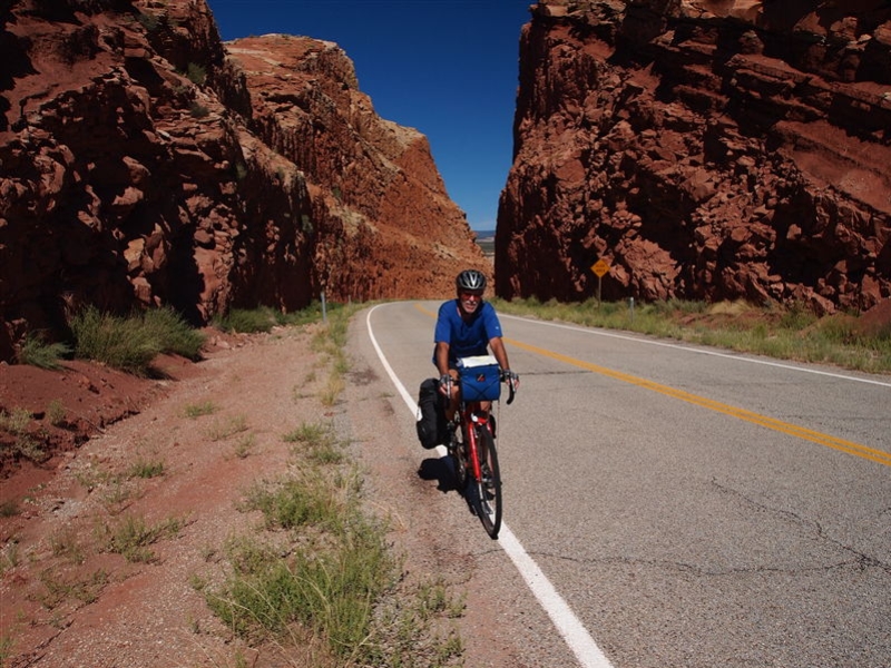
Day 3: Monumental Bonk
– to Natural Bridges NM, off MP 91.3 of Hwy 95, +4 into the NM. Over 3000’ of elevation gain and down about 2200’
along the roller, 65 miles.
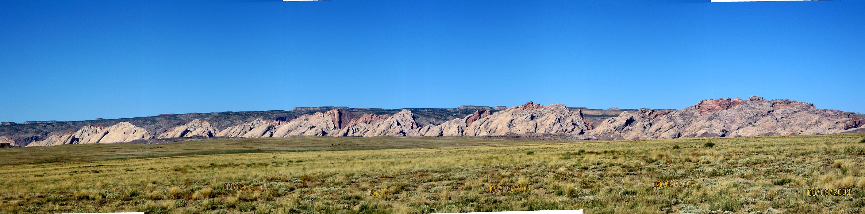
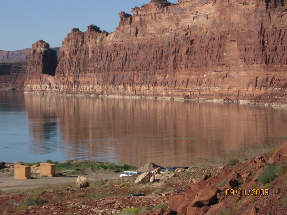
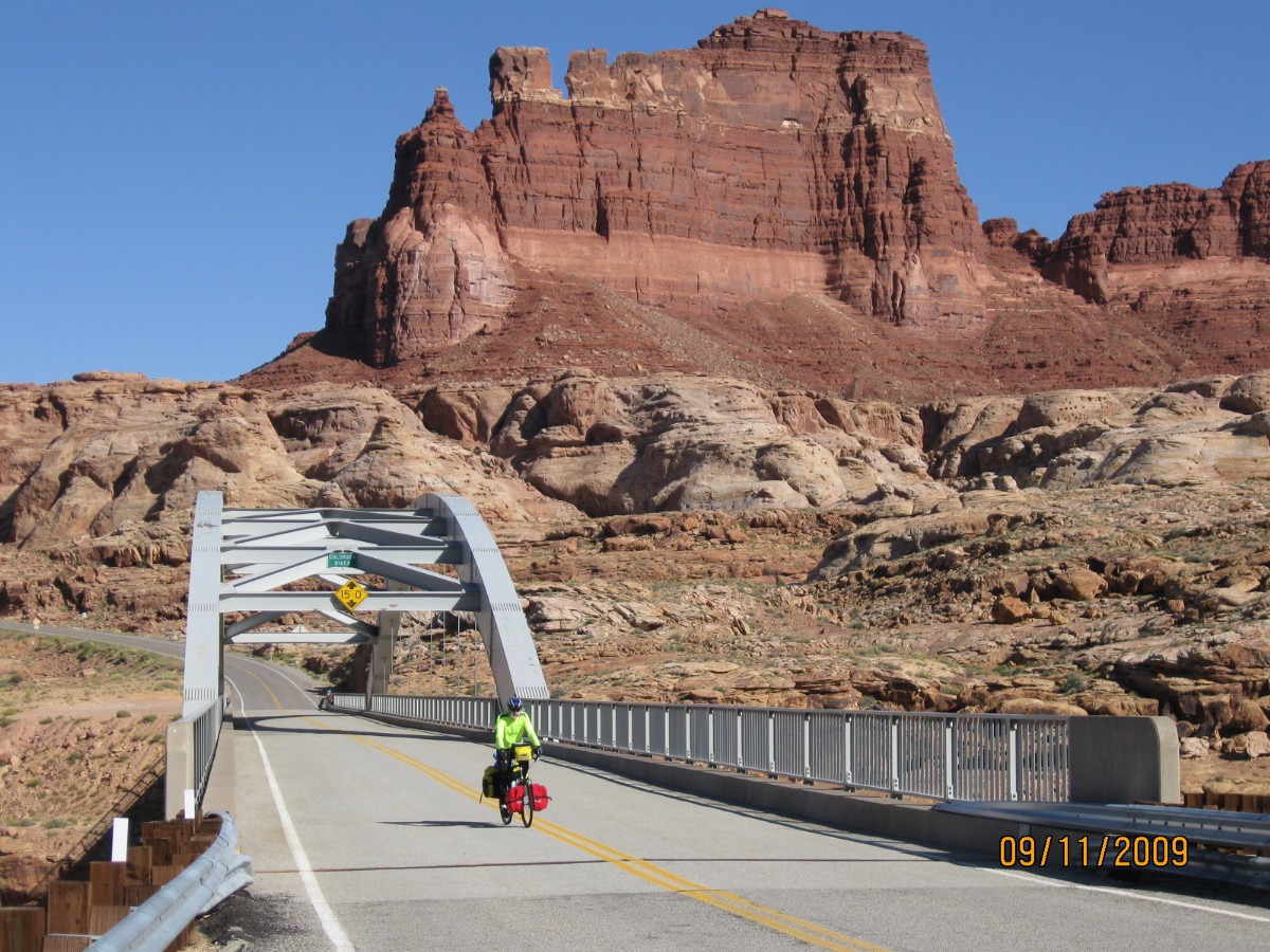
Bonking again, a long distance of rolling up amidst the open grandness of sky and
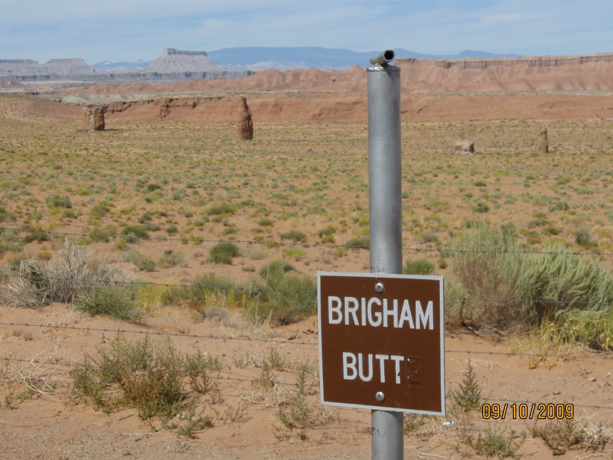
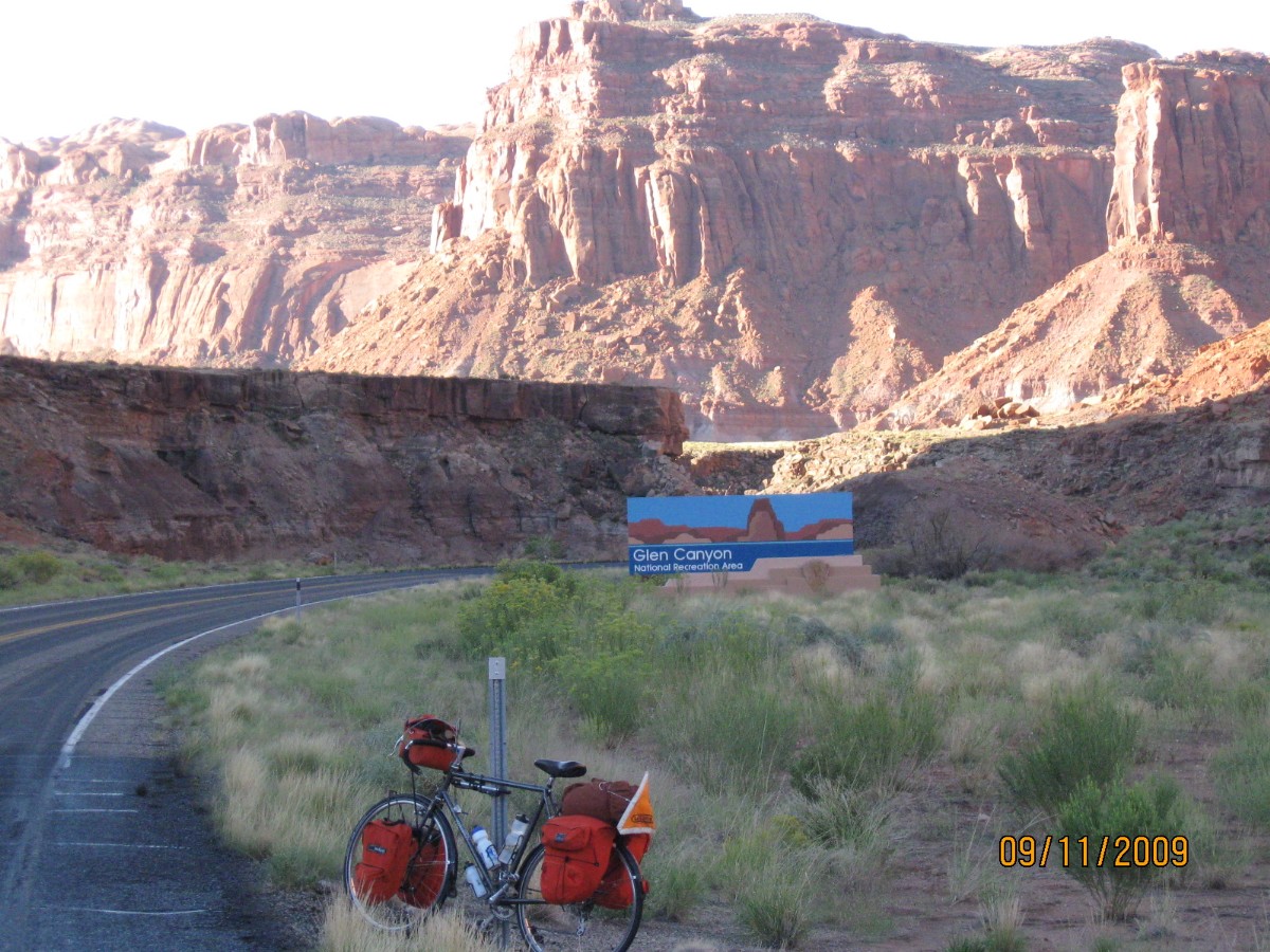
the stark chocolate of SS cliffs. Dry. Long. Bonk. And, I’m only approaching MP 69, after dipping across what little
remains of the Colorado River as it dribbles into Lake Foul, the giant evaporation and sewage pond, brought lower and
lower by too many consuming too much, then steeply up to gain and lose the same elevation several times. Finally,
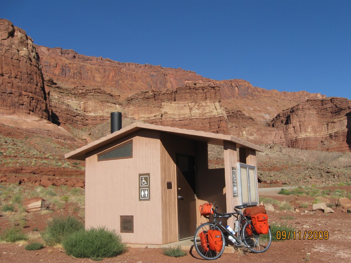
near MP 69, I encounter Robert T’s car, where he had set out a jug of water. Ahh, a long rest, lunch, and partial
rehydration in the shade of the pygmy forest (Utah Juniper and Pinyon Pine), before heading off into the sun and another
good bonking. And, not the fun kind of bonking either, so get that out of your mind.
Near Fry Canyon (well named today), I encounter Cheryl and we plod almost into sunset,
conserving energy and avoiding the bonk. The crisp low-angle sunset was in our eyes as we turned N toward the NM,
rolling downhill and home.
We set camp quickly and enjoy a quick rinse and settle into a peaceful evening, here
around 6000’ high at the NM.
 |
 |
 |
 |
 |
 |
 |
 |
 |
 |
 |
 |
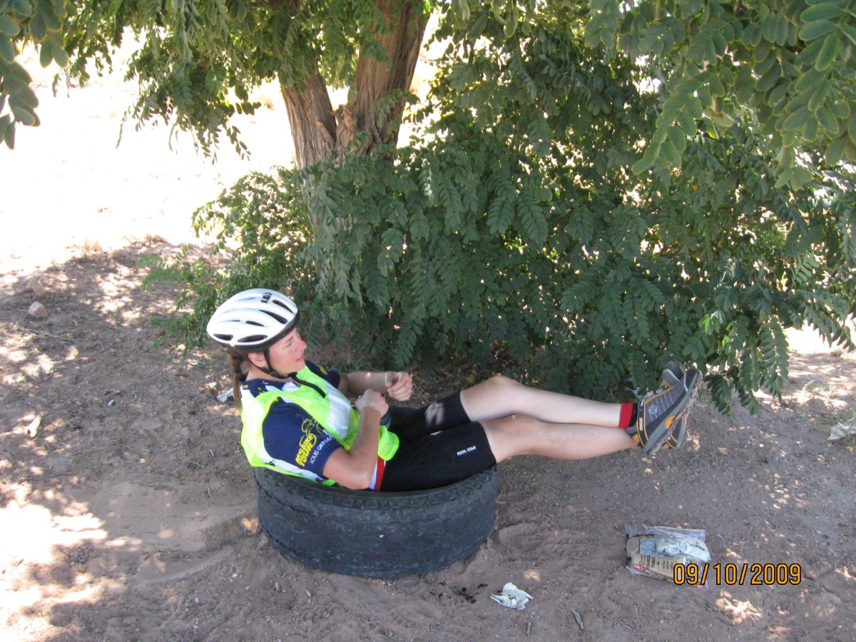
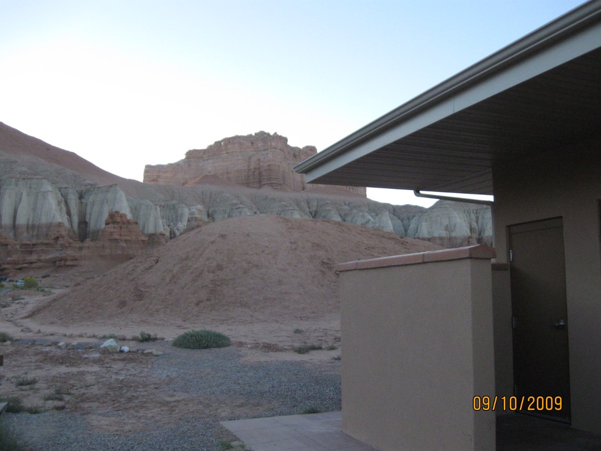
Day 4: Magnificent Monument – rest day at Natural Bridges, 0 miles.
Fronds of the pygmy forest bend in the gathering breeze. The azure sky is nearly
unblemished, with an occasional pock mark – unlike the face of an adolescent with typically poor junk food diet.
It’s been a lounging lizard-like day of recovery and general bliss. Delightful
temperatures. Some explore the bridges loop ride and hike while others nap and a couple ride out toward the Moqui Dugway.
Day 5: Blanding Byway – to Blanding, 40 miles.
The grade increases to 12% or so and the hot wimpy tail breeze stutters to a stop
and the gears go to the lowest combination, 34 cog and 24 tooth chainring, and the Venerable Monster (Specialized
Expedition) and I lug up the ramp out of Cottonwood Canyon. Lug, chug. Very steep, yet not very long and punctuating
a mostly glorious ride, sometimes screaming near or into the 40 MPH range. Yahoo.
Dave R and I stop at the Mule Canyon Ruins for some gawking and snacking, then back
onto the road to the Salvation Knoll, where lost boys found a path for the propagationists.
The joy ride down the syncline and into Comb Wash is followed by the ramp up and t
hrough Comb Ridge.
Easing into the shade of the corner store (last place to buy beer, etc in dry town
Blanding) reminds us that backwards Blanding is dry, yet producing more than its share of artifact thieves and babies
per breeding female (age 13 and over). Dave and I enjoy a long wandering conversation with a Navajo man who describes
Columbus as a drunk and lost charlatan looking for Indians, and the present Utah legislators as liars and thieves.
Succinct.
With bikes stripped bare of panniers, etc., and locked to the second story rail
of the Inn, we relish in real showers and lounge in real beds. Ahh.
 |
 |
 |
 |
 |
 |
 |
 |
 |
 |
 |
 |
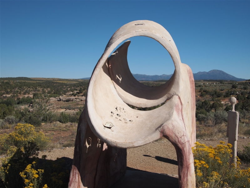
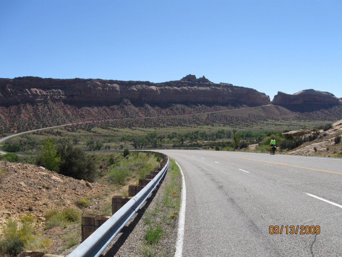
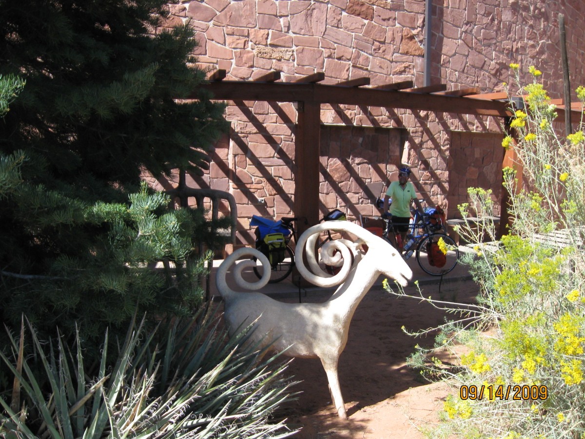
Day 6: On the Edge of 191 – Edge of the Cedars to 8 miles N of Monticello, 28 miles.
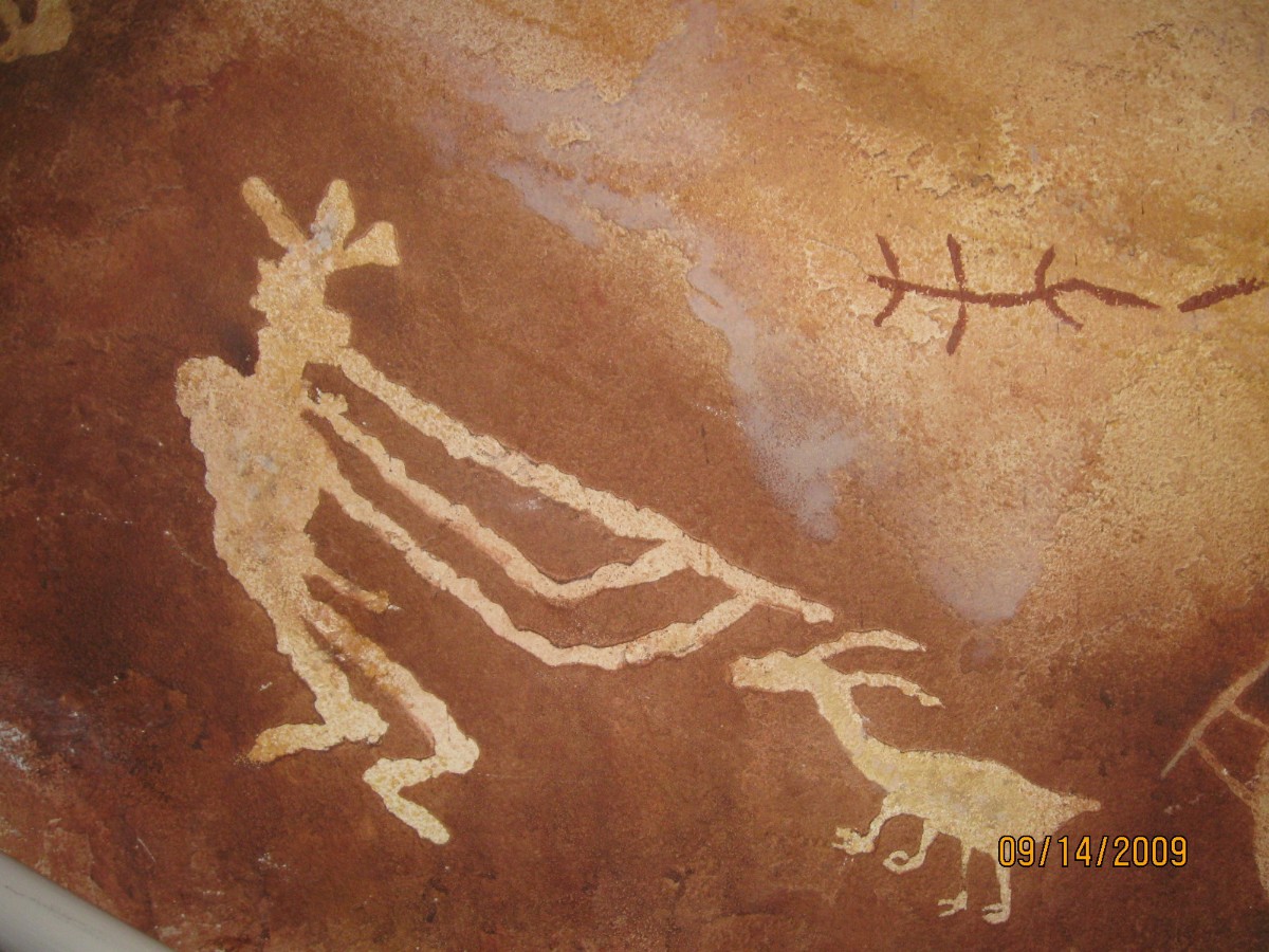
The shawl sports red-orange and blue McCaw feathers carefully woven into fluffy
strands and banded together, with a top trim of Abert Squirrel fur. A good use for those annoying Aberts. Most
likely, the shawl was traded from what is now Mexico N to the Pueblo People of what is now the SW segment of the US.
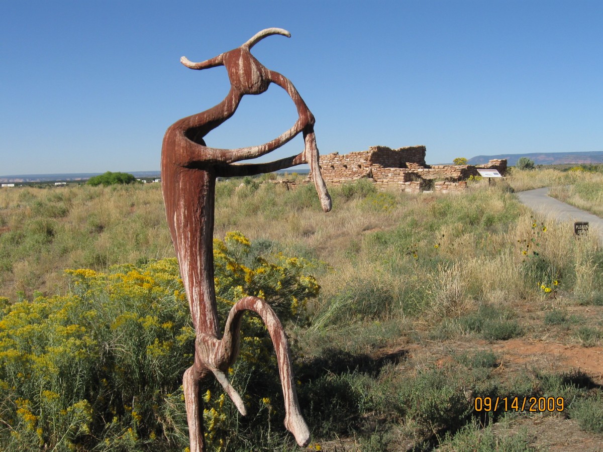
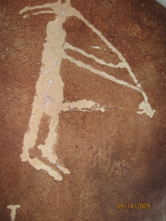
We’re visiting the Edge of the Cedars park on the fringe of Blanding. Delightful.
Reproduced pictos and petros adorn the walls, pots and artifacts cram the display shelves, a reconditioned kiva
graces the back 40.
Then, onto Hwy 191, which it seems all the truckers within a six-state region
decided to use at the highest possible speed. Traumatically, we later learn that the traffic is even worse N of
Monticello. Rollers to Monticello, where I stop at the library to check email, call Kathleen, and eat lunch in
the greenery of this corner park. The truckers get thicker and less well mannered as we ride N for another 8 miles
to the camp arranged by Cheryl. Sadly, Rob P drops out of the ride today for health reasons. We wish Rob well,
then he travels back to Smog Lake for medical care.
Truckers engage their jake brakes as they pass in the low cut a hundred feet from
the camp. Ick. Yet, we enjoy a partial end view of the majestic purple shrouded LaSals, mountains of salt.
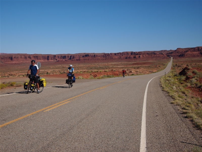
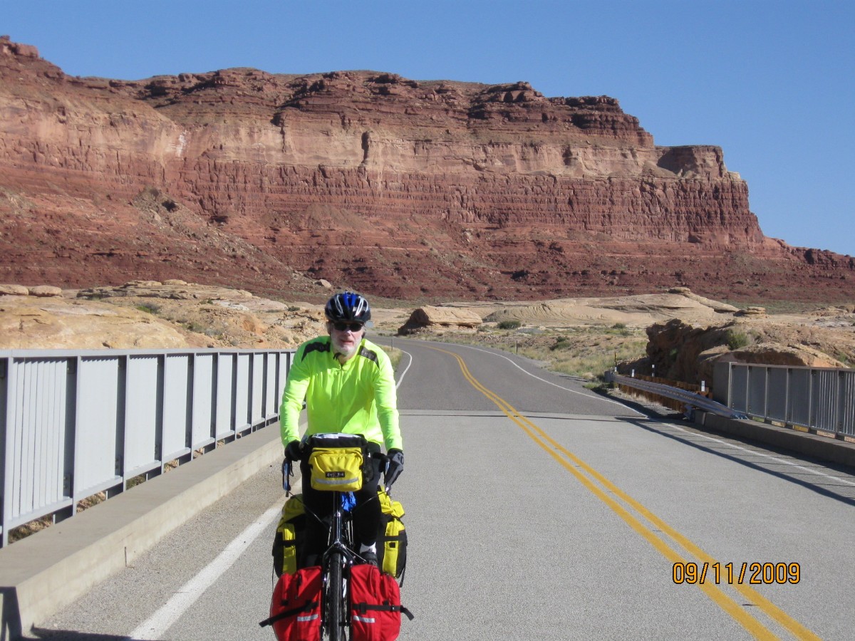
Day 7: The Moab 48, life on the edge – to Up the Creek CG, Moab, 48 miles.
Riding nearby the edge of Hwy 191, I’m crowded over a bit more, a bit more
by Winnehogos and truckers from texas, certifiably the worst drivers in Darwin’s creation. It’s a lovely ride,
backed by excellent redrock scenery and views of the LaSal Mountains. It’s a mostly downhill day, starting high
and ending low, surrounded by the swirling heat of Moab.
A restful lounging lunch at Kane Springs rest area rejuvenates me before I complete
the route to town and the CG. I’ve checked mail at the library, showered, and visited City Market for the first
food bits – lots to drink and some yogurt for mitochondrial development.
The breeze switches from up to a cool down canyon mode and the nearby party of
marriage revelers sway off in their stupor, and peace returns to the creek area. Restful sleep settles like a
fluffy blanket.
 |
 |
 |
 |
 |
 |
 |
 |
 |
 |
 |
 |
 |
 |
 |
Day 8: Fossil Fools – to viewing magnificent melons; to Green River and home, 50 miles.
With two lanes in one direction, visibility a mile or more and the nearest
vehicle half a mile away, the fossil fool in the 50+ foot long Winnehogo squeezes us off the highway. Lots of fossil
fools, pulling those heinous ORVs (off-road vehicles), huge pickups and such supporting terrorists – many acting as
rational as tea baggers. Between assaults, the grandeur of the Moab Fault, sandstone layers in desert hues, awes
and inspires. Deluxe country with horrible drivers consuming too much to have a go at sustainability.
I note that the cyclo computer is nearing a thousand miles for this year, slightly
less than last year’s total, yet we still have some riding time to add the revolutions of the VM’s wheels. No, not
really that many miles, yet not so bad considering the other trips taken along the way.
At Crescent Junction, we turn toward big melons, Dave and I taking the far past
its prime old hwy while everyone else wisely barrels down I-70 to Green River and Melon Days. Most stress today is
attributable to vigilance on Hwy 191, and it is otherwise an easy day.
We started the day early – Chris practicing “The Look” to those not yet ready to
ride. “The Look” connotes something akin to ‘Hah, I’m on the road and you’re not, yet should be’ or some such message.
Being the last or almost last out of camp each morning, I’ve had no practice giving “The Look.” Nevertheless, I have
received "The Look" a few times, yet did not realize it until Chris pointed it out. Mark, Dave, Chris, and I rendezvous
at the old café that cannot decide which public land abuse to honor with its name “stake” or “steak” (like the BLM,
Bureau of Leasing and Mining, stripped and dug or cowburnt)– spelled both ways on the front of the building – and we
enjoy excellent pancakes before braving 191.
We finish the Fossil Fool 191 with fond farewells and a hunt for magnificent melons
at Green River Melon Days before carpooling home, or, in my case, reservation wandering to Northern Arizona, land of
pygmy intellect tea baggers and other “conservatives” (where The Tea Party passions are the rancid emissions of
class-based greed disguised with flags and Christian symbols – see link below) and a few public land loving
ecos – replaying the camaraderie and vistas of the Southern Utah Swing.
Click here for -- fossil fools.
What we need now is another Jonathan Swift. (Paul Krugman) Most people know Swift as
the author of “Gulliver’s Travels.” But recent events have me thinking of his 1729 essay “A Modest Proposal,” in
which he observed the dire poverty of the Irish, and offered a solution: sell the children as food. “I grant this
food will be somewhat dear,” he admitted, but this would make it “very proper for landlords, who, as they have already
devoured most of the parents, seem to have the best title to the children.”
O.K., these days it’s not the landlords, it’s the bankers — and they’re just
impoverishing the populace, not eating it.
Cheryl's plan and maps
Links
Click here for -- fossil fools.
Click here or on the happy cyclists to go to all WV reports about Bicycle Touring
![]() Click here to go to a description of the route and maps of Southern Utah Swing
Click here to go to a description of the route and maps of Southern Utah Swing
| ||||
|
Wild Vagabond Main |
Trip Report Index  |
Caveat  |
|---|